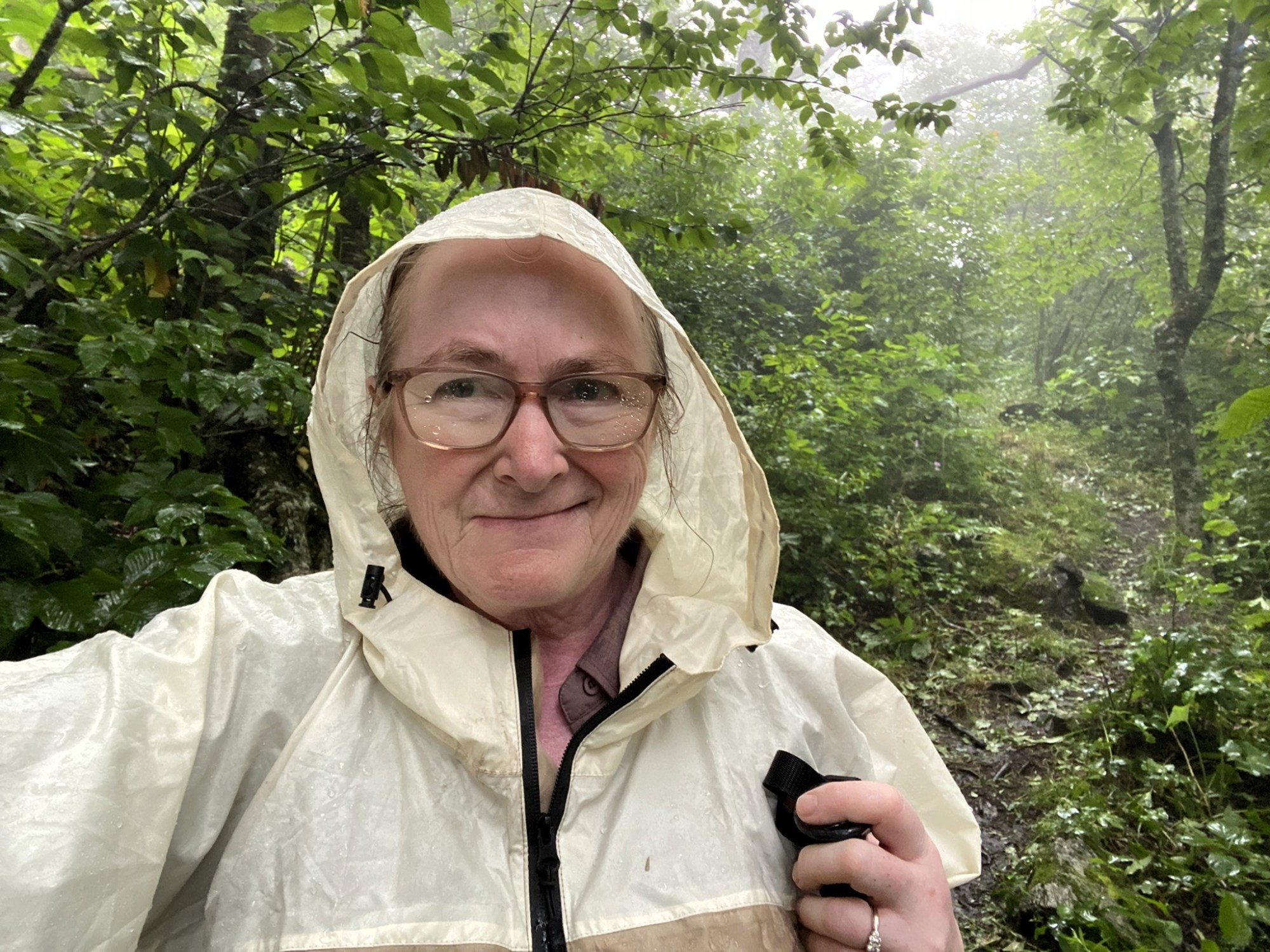
Craggy Gardens Visitor Center to Craven Gap, westbound
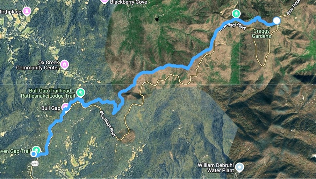
July 13, 2026. We headed out to the mountains in unsettled weather, but since we’d already booked the Airbnb, our outing was a “go” even though the wet conditions made this 11.0 mile hike more challenging than anticipated.
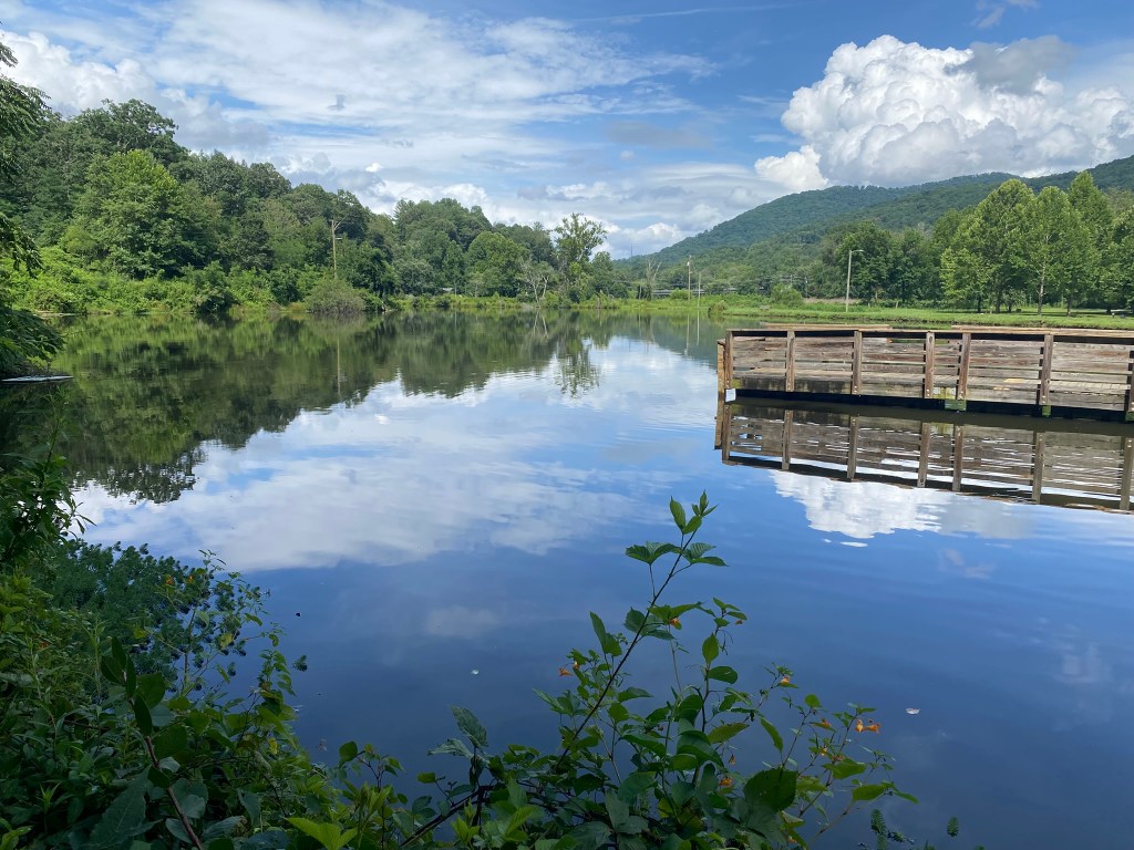
Sunday afternoon we drove to Asheville, and had some great birding at the little fishing lake in Azalea Park.
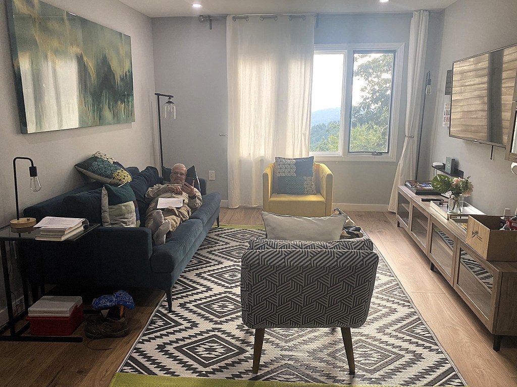
Our over-the-garage Airbnb was located close to Craven Gap, right off of the Blue Ridge Parkway.
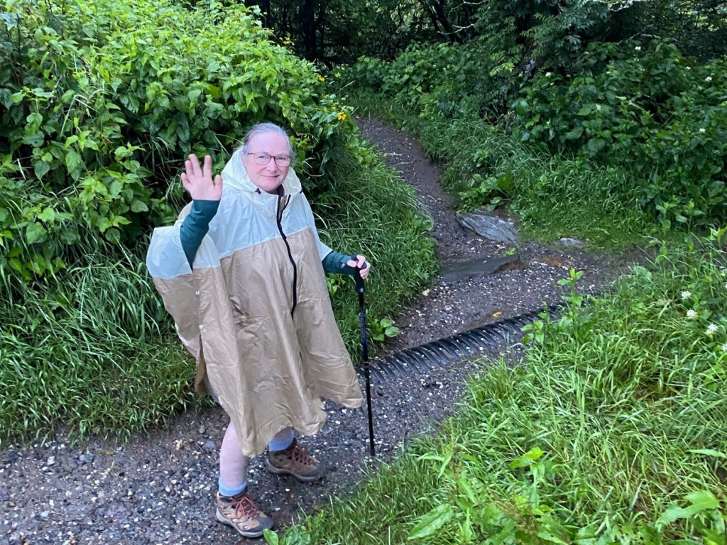
On Monday morning the overnight rain showers eventually lightened up to heavy misting, so at dawn we drove on up to Craggy Gardens, I broke out the poncho, and away I go!
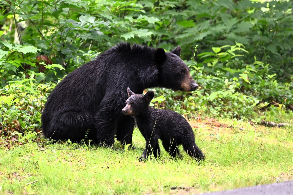
The husband-shuttle went to find interesting birds, and he had a great view of a mother Black Bear and her THREE cubs, while I have yet to see a single bear on the MST!!!
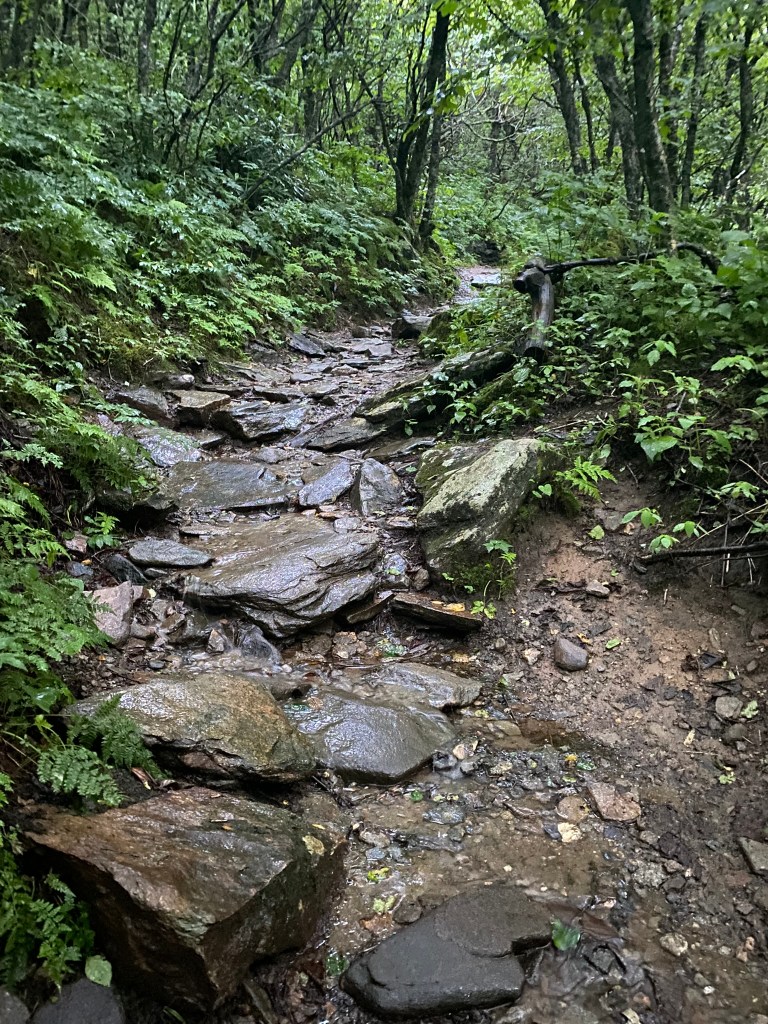
The first five miles were quite rugged, and I had to be careful of Every Single Step because everything was wet and slick.
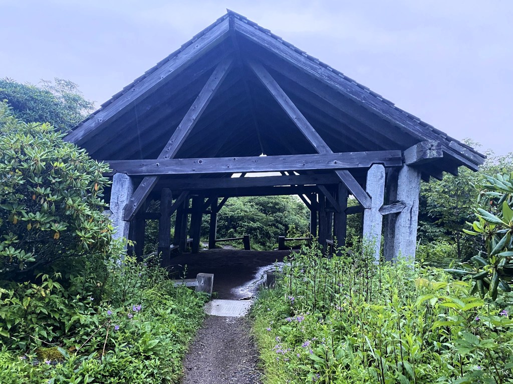
The route passes right through an old CCC shelter. My mom always had kind words about the CCC (Civilian Conservation Corps), as this government program put many men to work during the Depression years. They built trails and shelters–this one still standing nearly 100 years later!
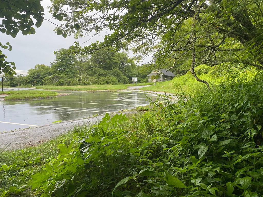
Craggy Gardens picnic area is still closed, post-Helene.
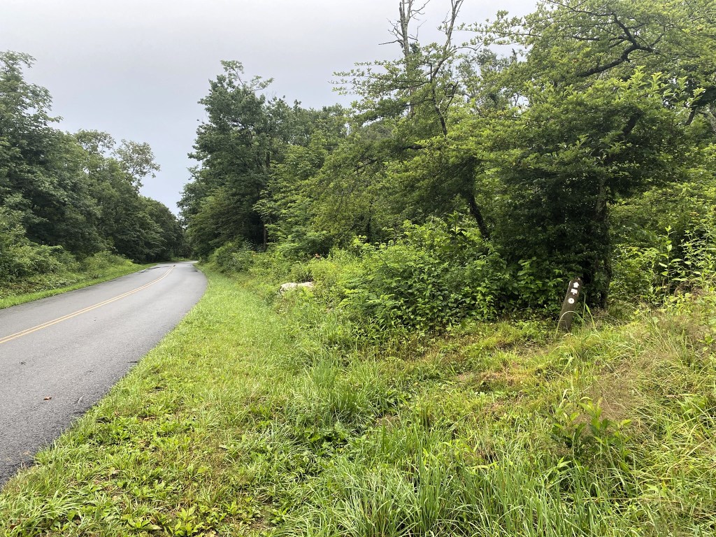
Today’s route intersected with the Blue Ridge Parkway only a few times.
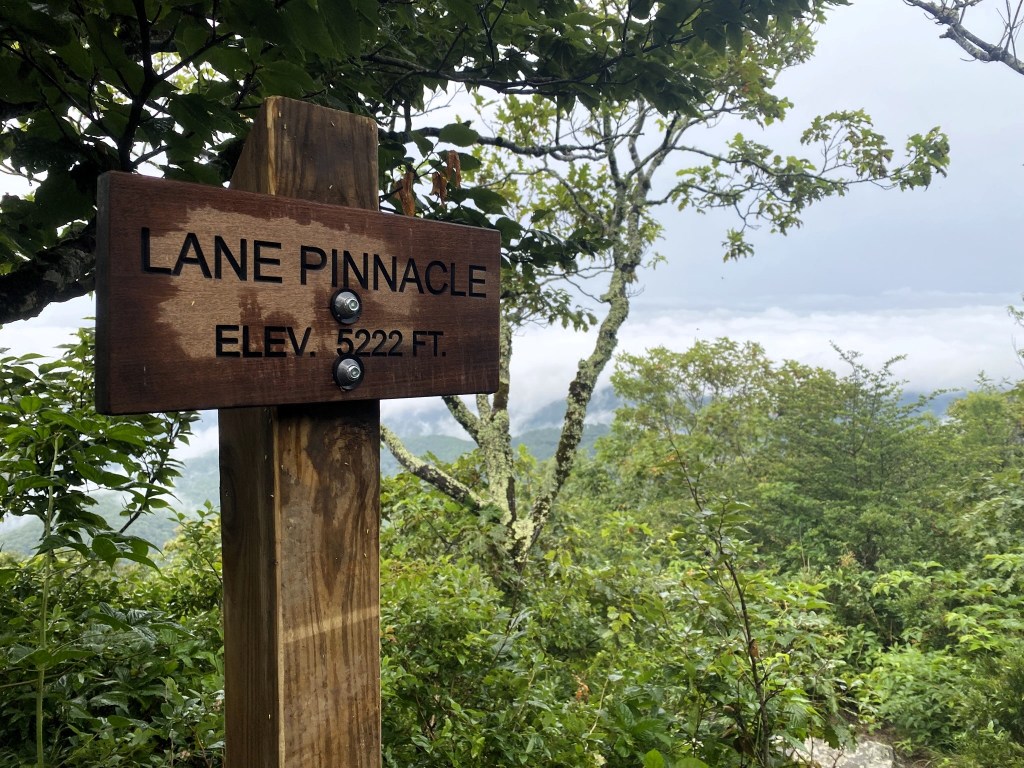
I crossed up and over an unknown peak, Lane Pinnacle, and Rich Knob. It was always quite steep near the summits.

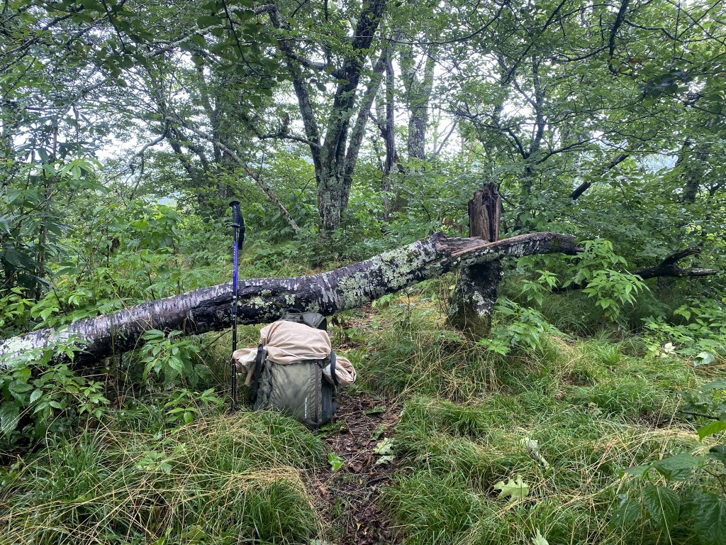
There’s supposedly a USGS benchmark here at the first summit, but I couldn’t find it.
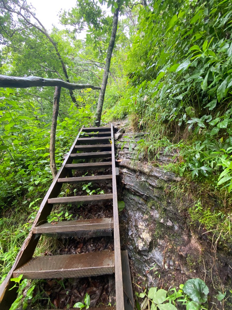
I was very grateful for the wire tread on the wet wooden steps.
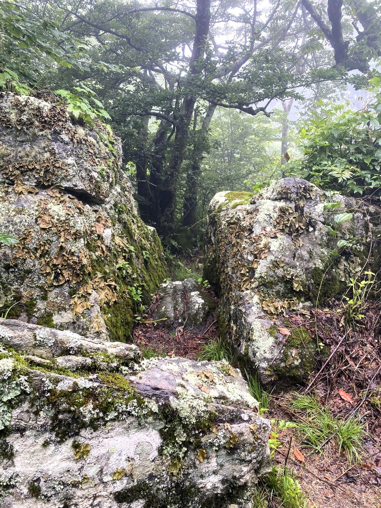
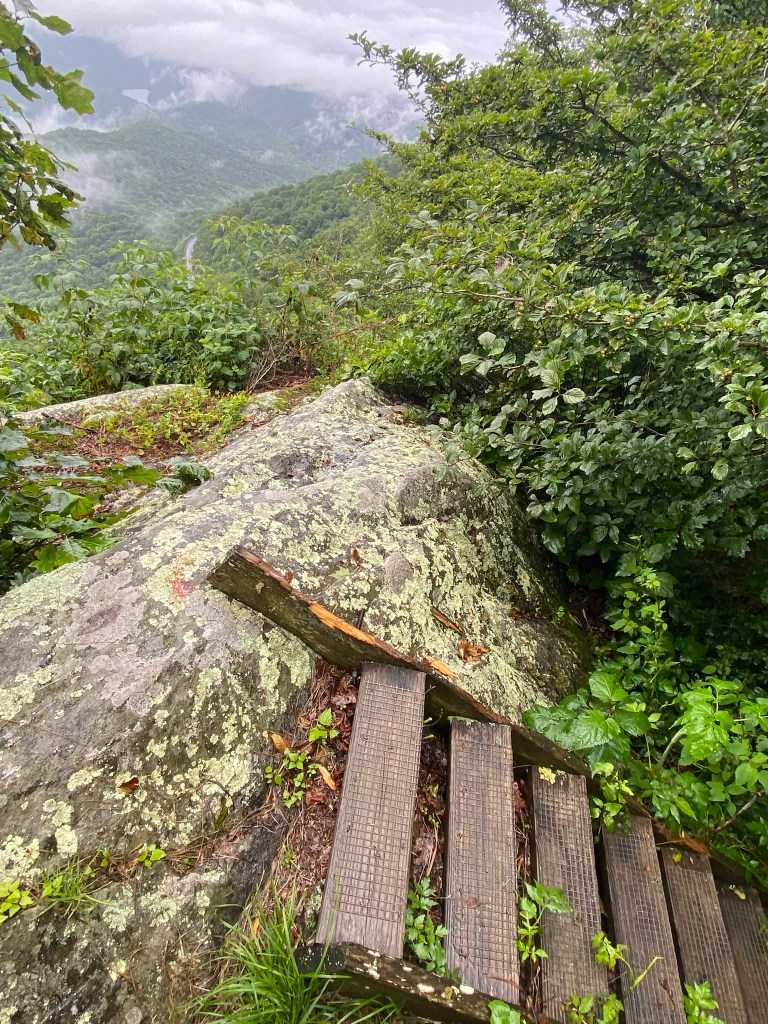
Steep rock outcrops made these miles quite strenuous, and there was even one place where I had to hug a tree and shimmy around on a ledge.
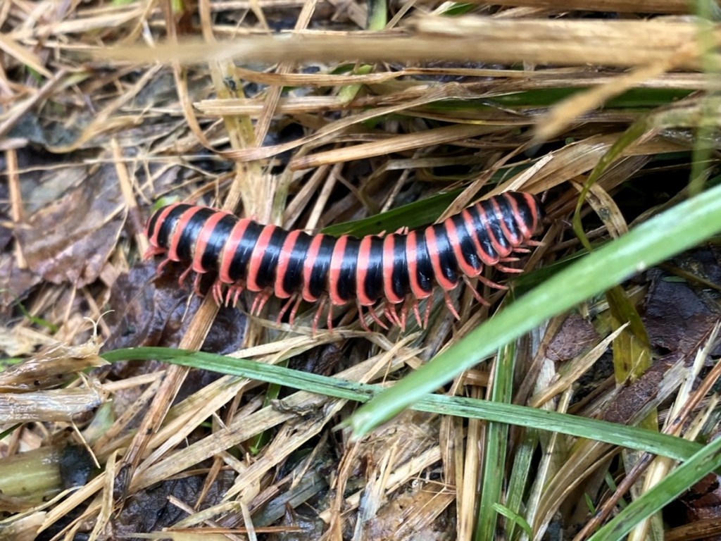
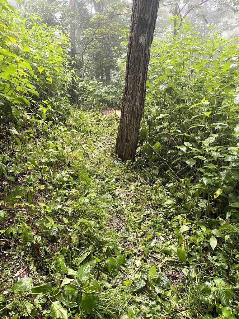
It takes extensive maintenance to keep trails passable. Not just fallen trees or landslides, but also trimming back brush that would quickly overtake a pathway. Thanks to all the hardworking volunteers!
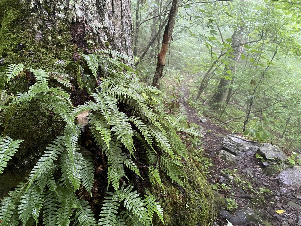
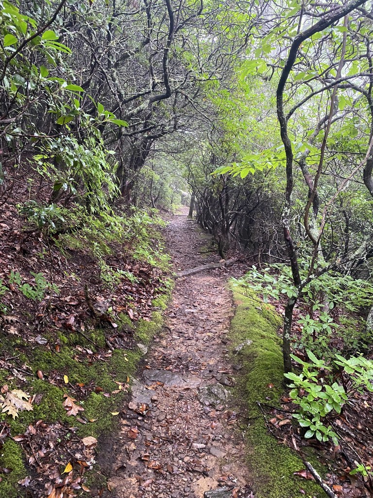
It was a huge relief to be down off the rocky heights and find some lovely stretches of trail like this.
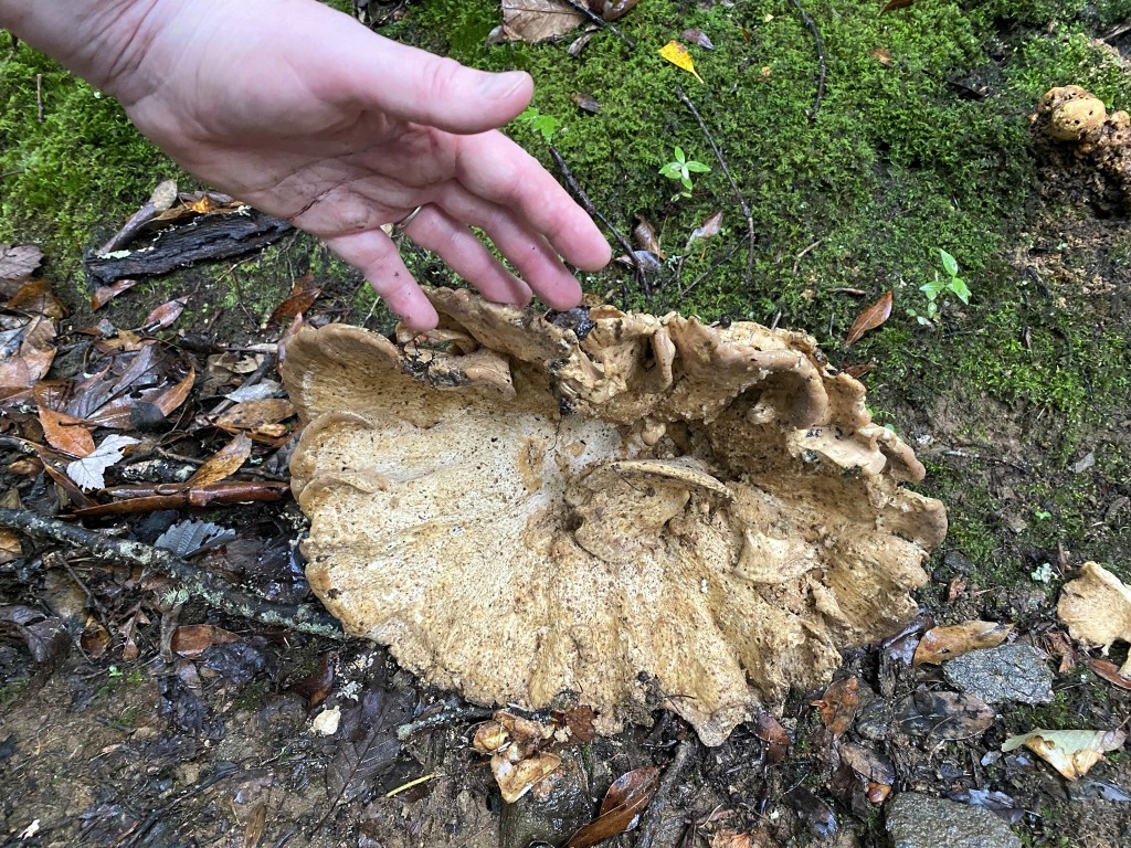
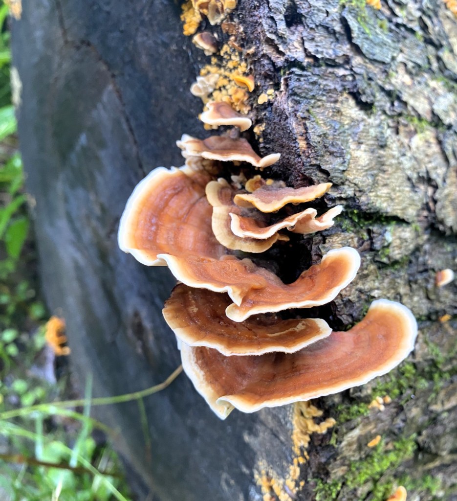
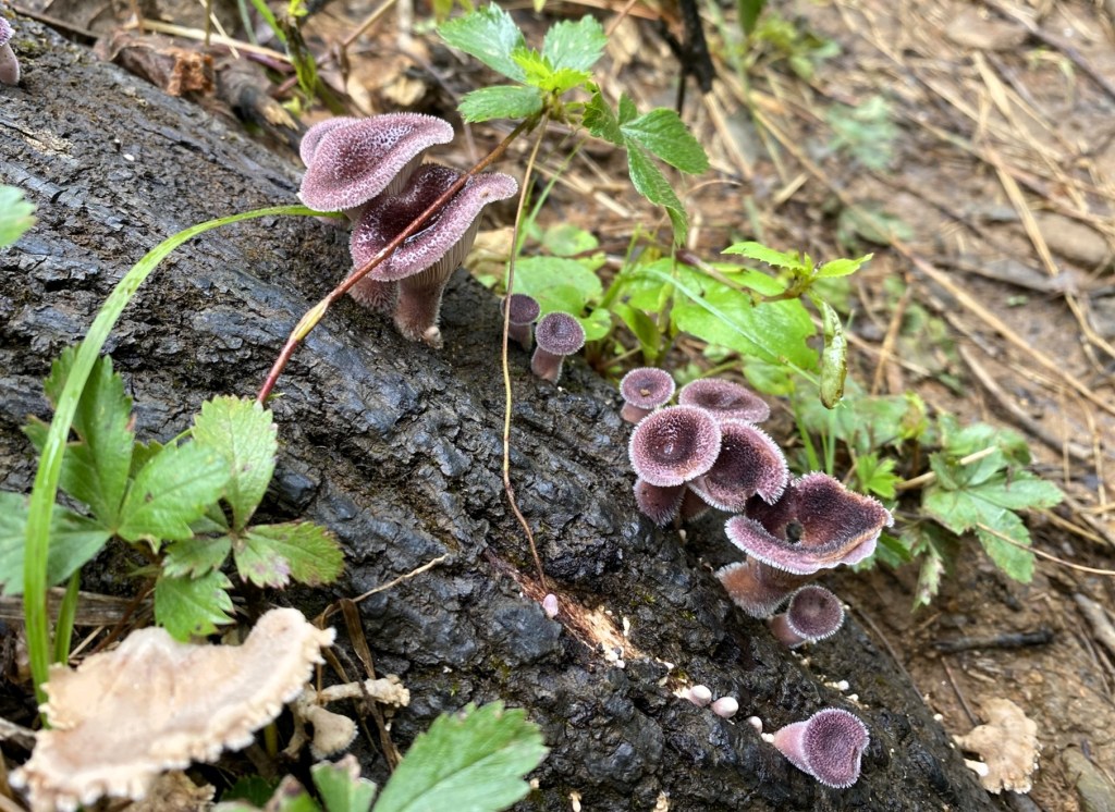
One of the largest fungi I’ve ever seen.
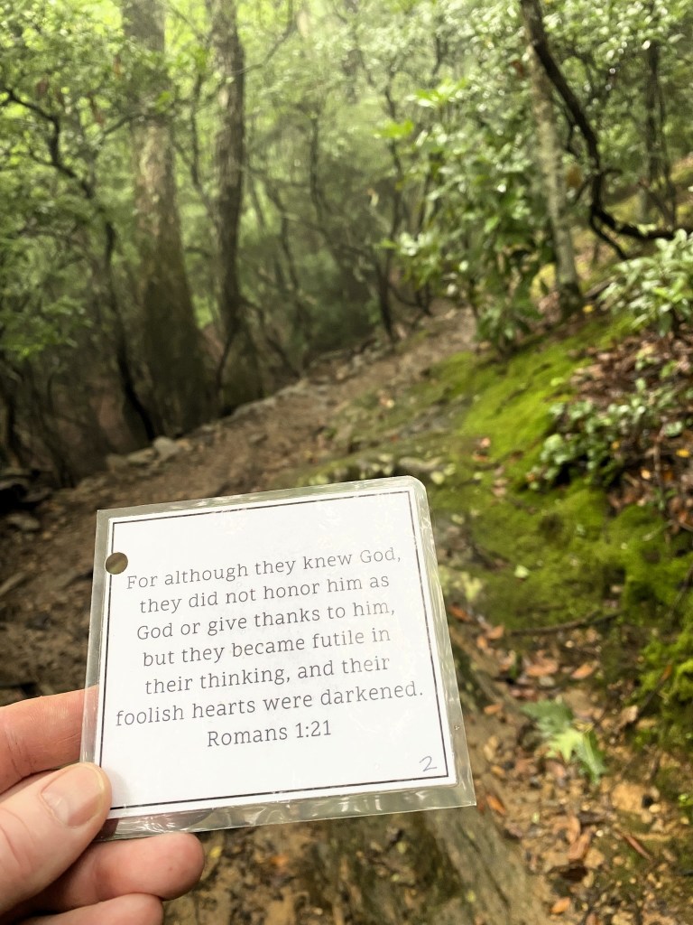
Our church is having a Summer Scripture Memory challenge, so once the trail evened out a bit, I could concentrate on memorizing my verse. And it was even LAMINATED, hurray!
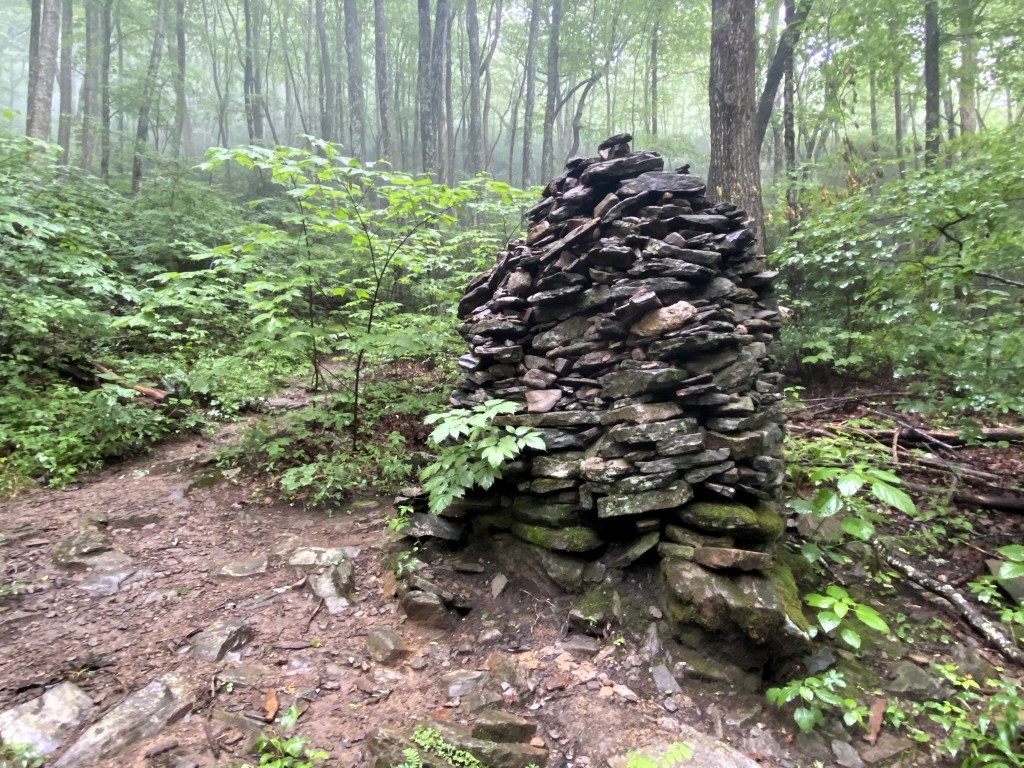
Remnants of a chimney near Rattlesnake Lodge.
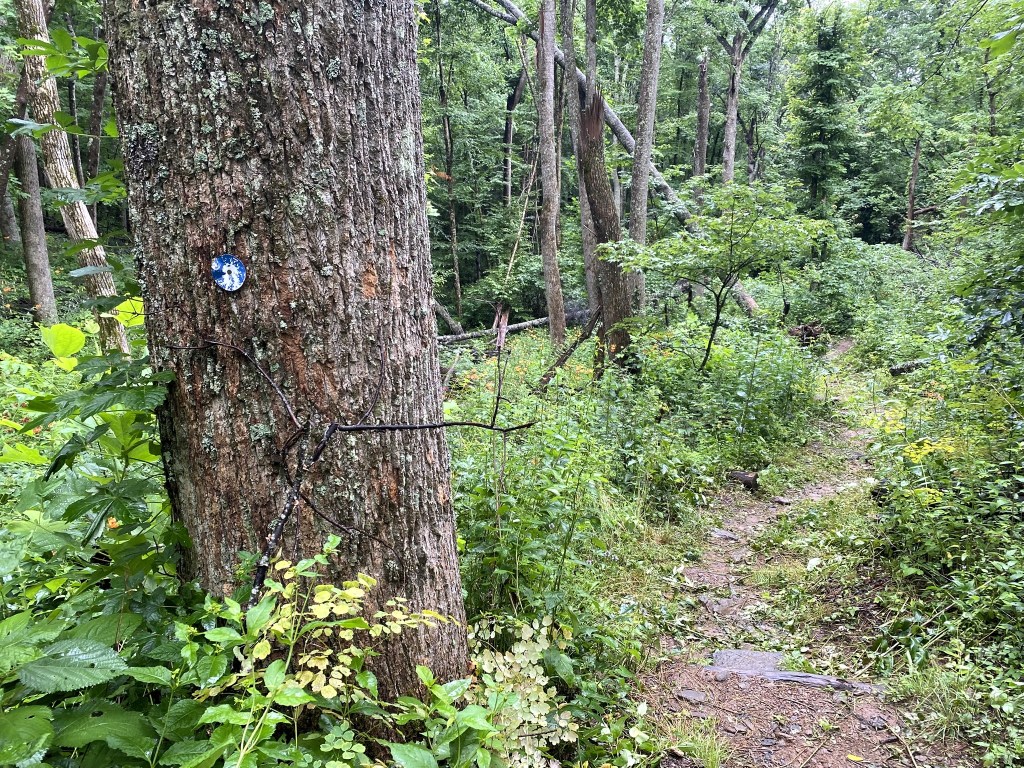
I found the printed directions confusing at this point, and that little white circle is actually a BLUE circle whose paint is peeling away!
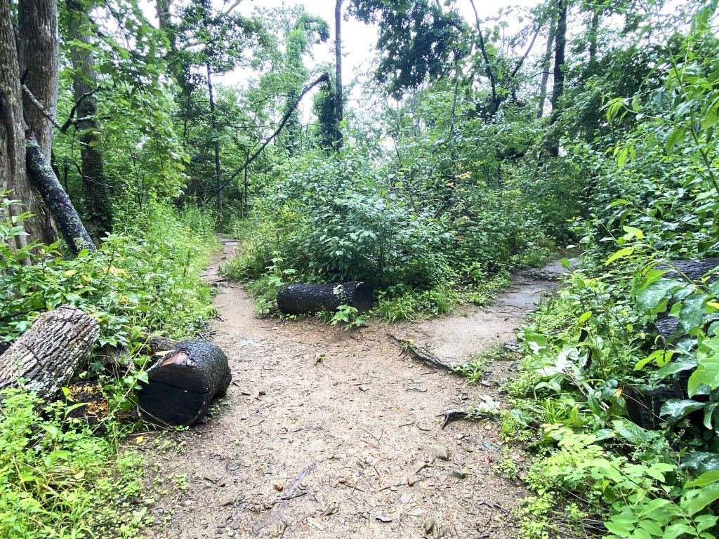
I could not figure out the correct direction from the trail guide….
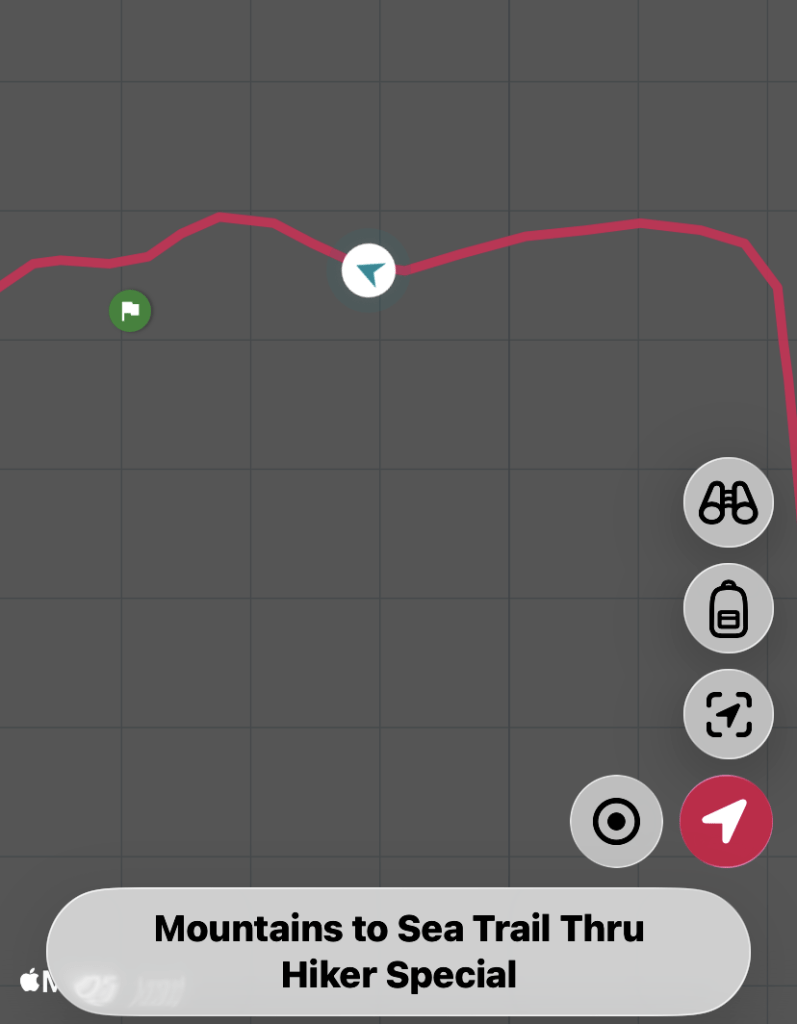
….and that’s why I have a back-up plan, the FarOut App! I chose the wrong fork initially, and watched that little arrow diverge from the red line. So I turned around and took the right fork of the trail, and there I go, on the correct route.
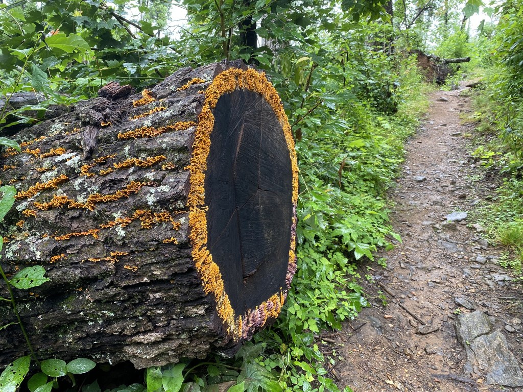
It is a work of art. So beautiful.
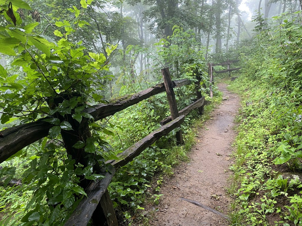
The fence was in place to keep inconsiderate hikers from ignoring the switchbacks and causing erosion.
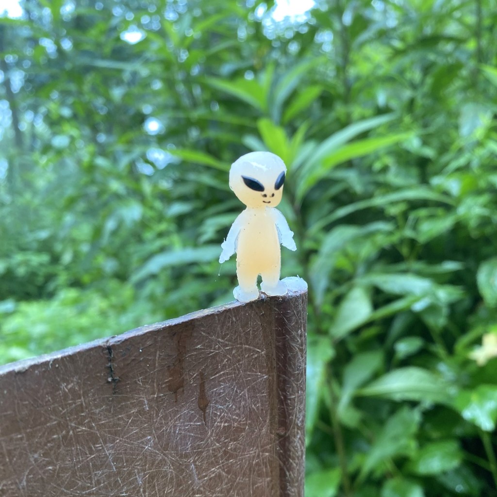
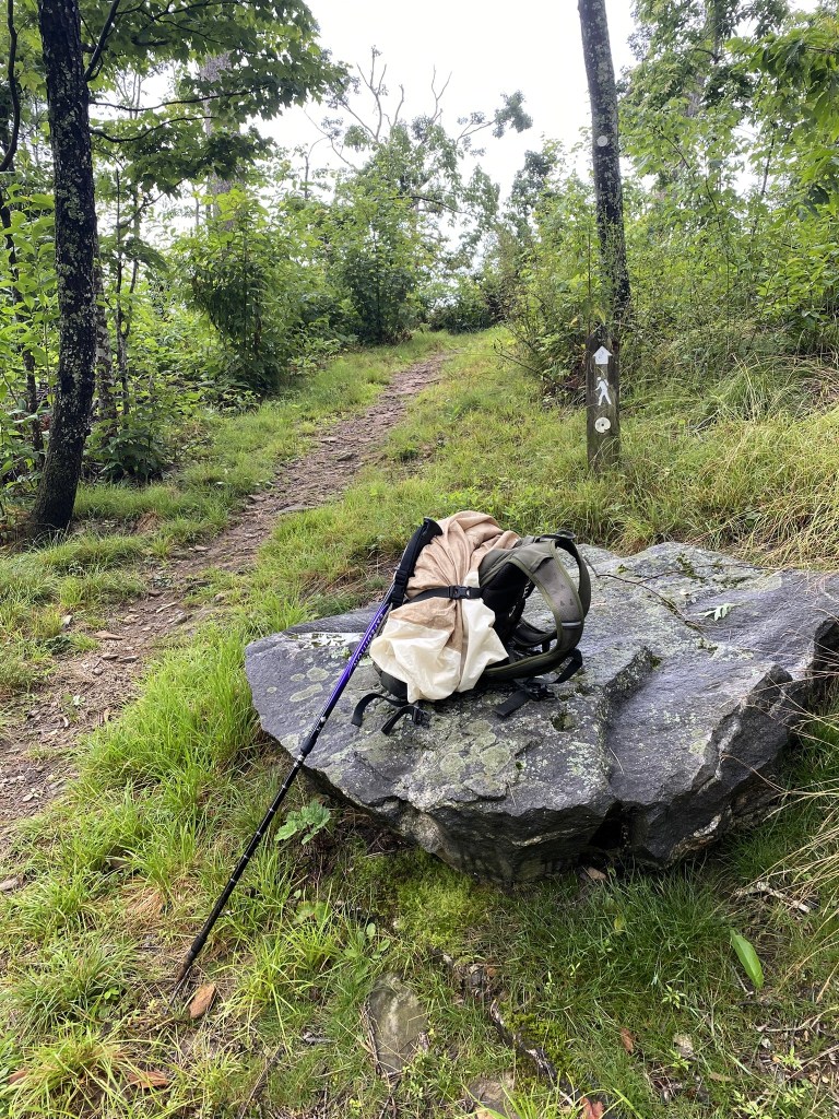
One last break after crossing the Elk Mountain Scenic Highway. I really should’ve changed out to dry socks by now, but I was so close to the end I didn’t bother.
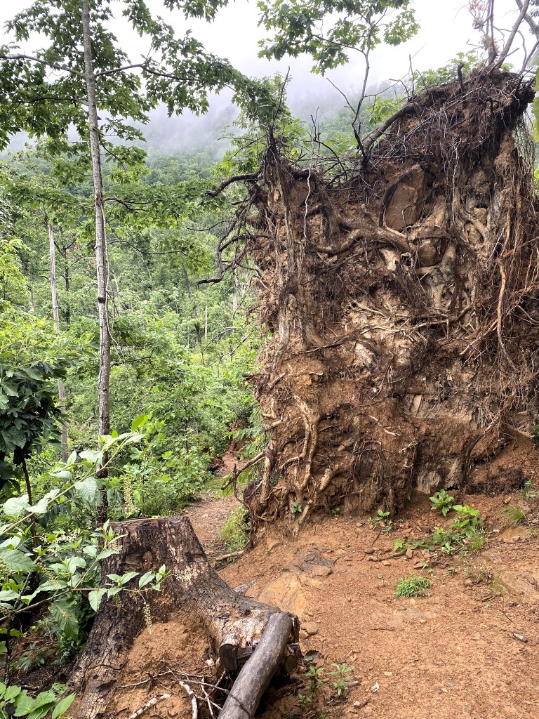
Helene hit hard in this area. Our Airbnb landlord had to make extensive repairs from all the trees that hit their house.
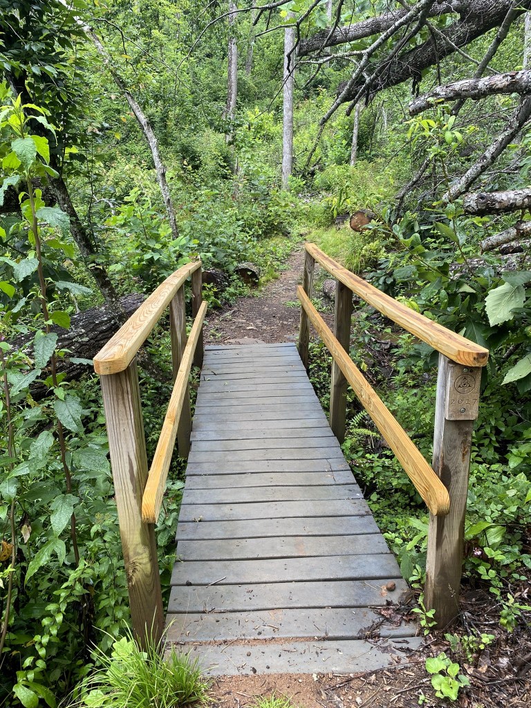
A new, very sturdy footbridge.
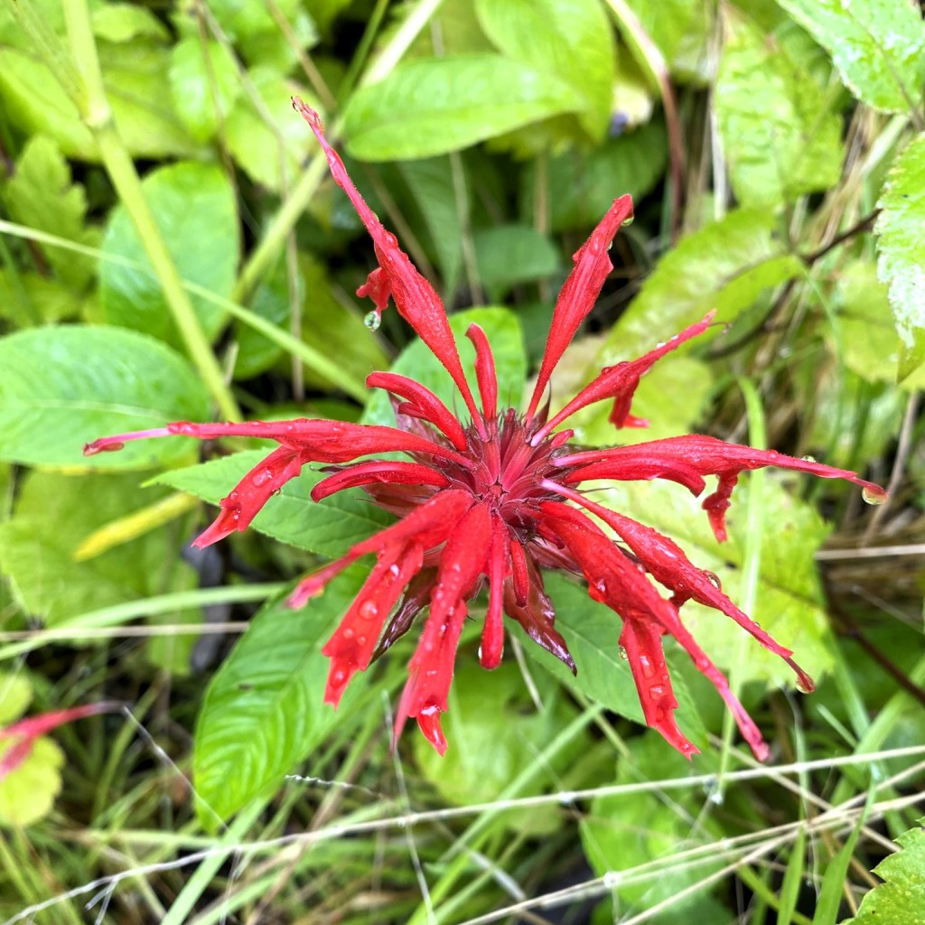
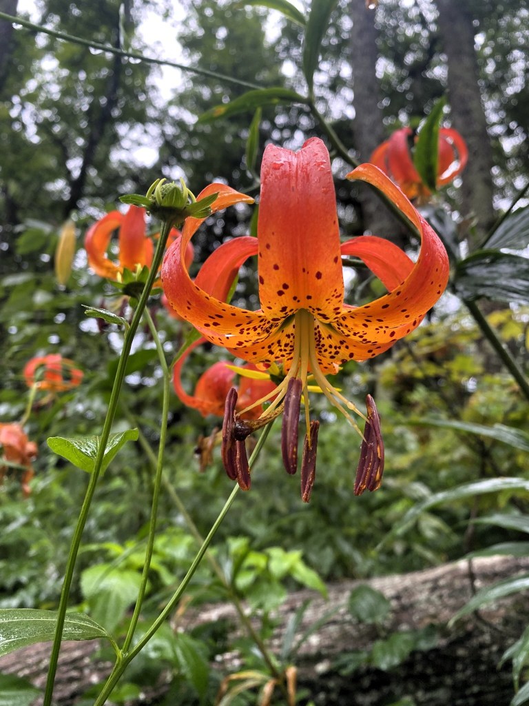
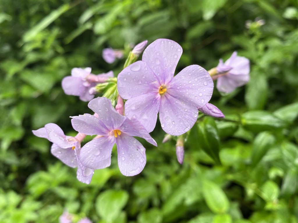
These flowers make me think of fireworks exploding in the sky.
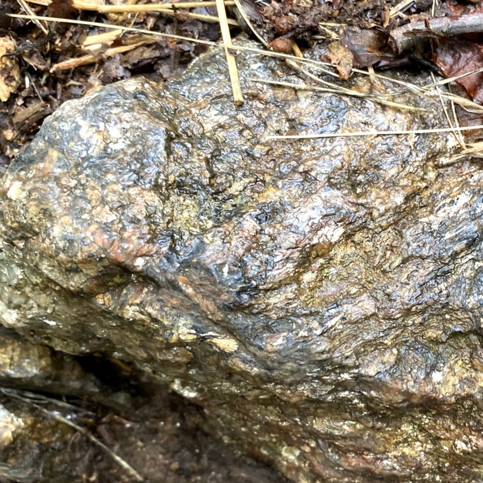
And even some pyrite! (“Fool’s gold”)
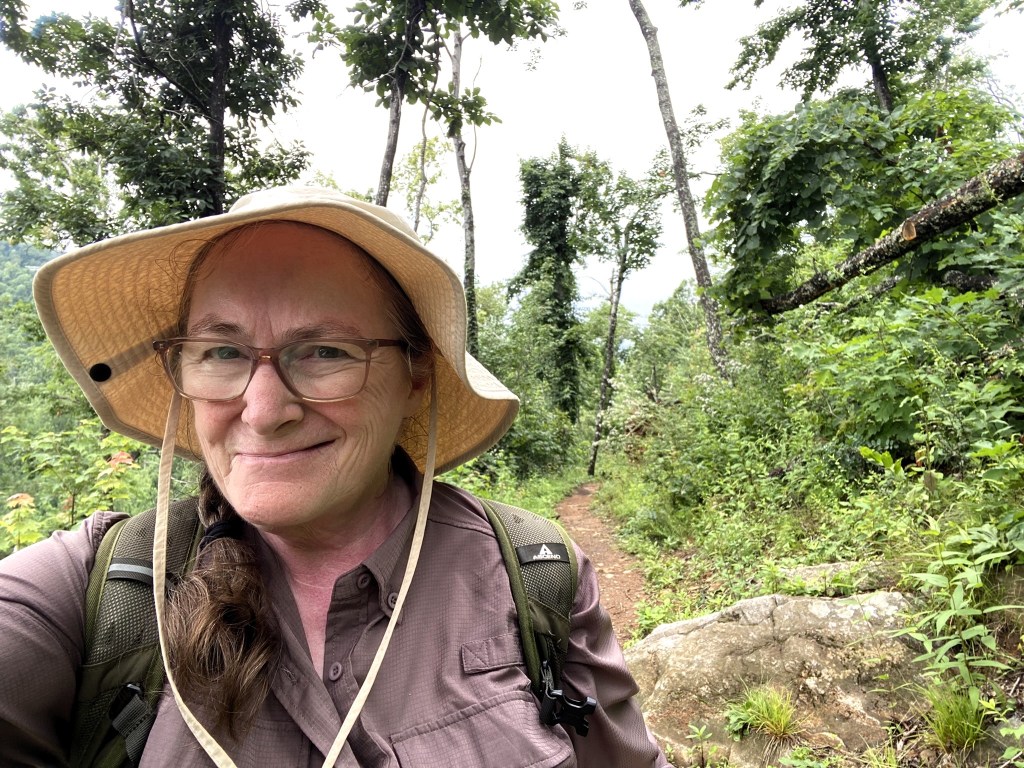
With about 1/4 mile left in my hike, THE SUN CAME OUT!
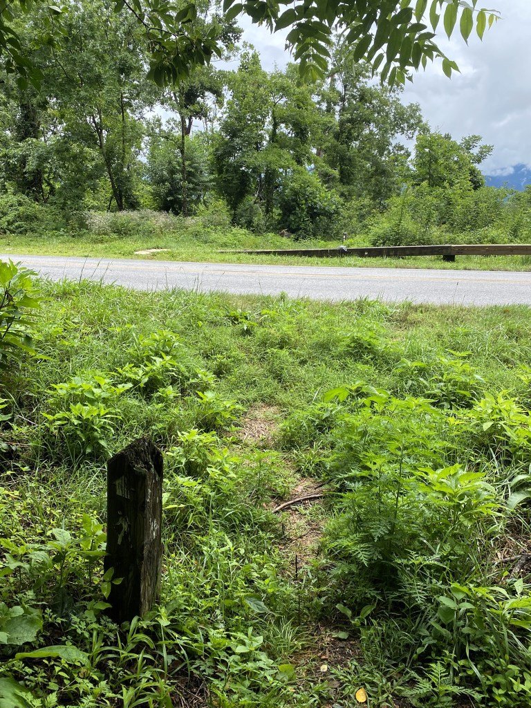
Craven Gap on the Blue Ridge Parkway, my end point for today.
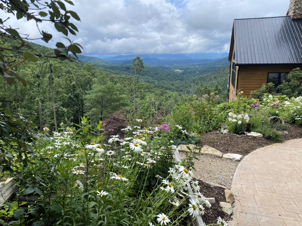
And it was only a short walk to the Airbnb, for a nice hot shower and a chance to dry out everything for tomorrow’s hike.

Maybe it will be a SUNNY one!


I think I didn’t comment on this one. Thanks for doing things that are not ideal, and surviving.
Lorraine Boyd Cypress, TX
>
LikeLike