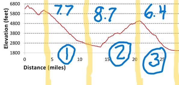
Fork Ridge Trailhead to Mingus Mill Trailhead, eastbound
October 5-7. My long-anticipated, 23-mile BACKPACKING trip. It’s been almost 50 years since I hoisted a backpack, when I was on a family climb of Mt. Baker in the state of Washington. I grew up hiking, climbing, and yes, backpacking, so this trip wasn’t completely unthinkable, but I was a mere participant on those trips, while my parents did all the planning.
Now it was up to me!
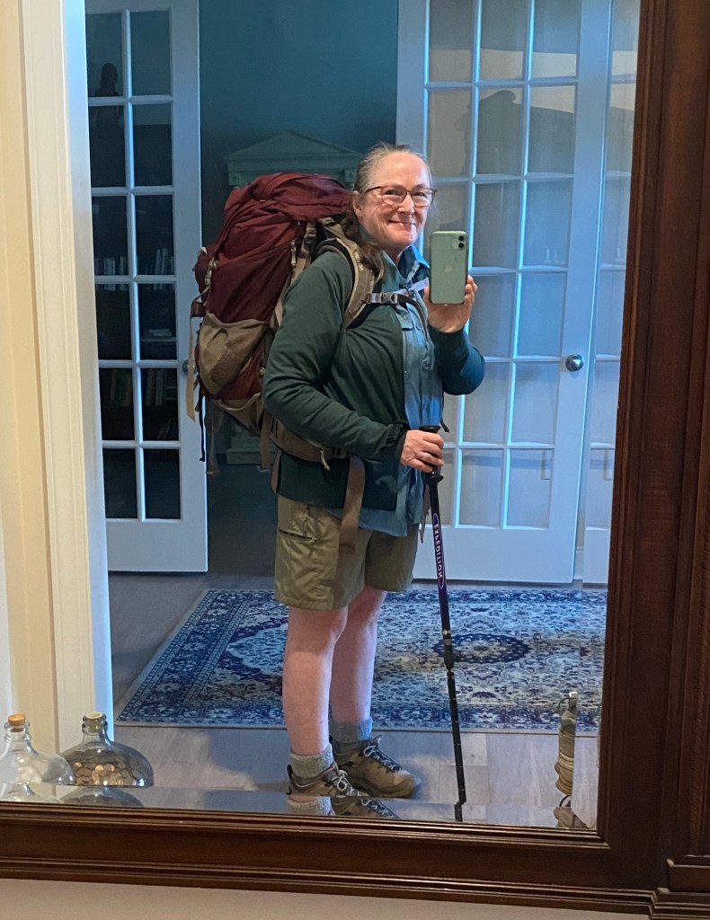
I borrowed a backpack, water filter, Thermarest pad, and sleeping bag from a son-in-law.
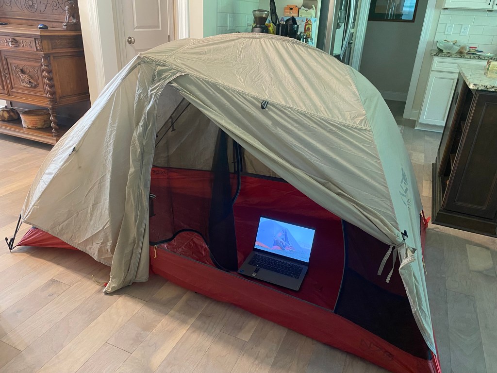
I rented a tent from LowerGear Outdoors (and Googled a video to figure out how to set it up).
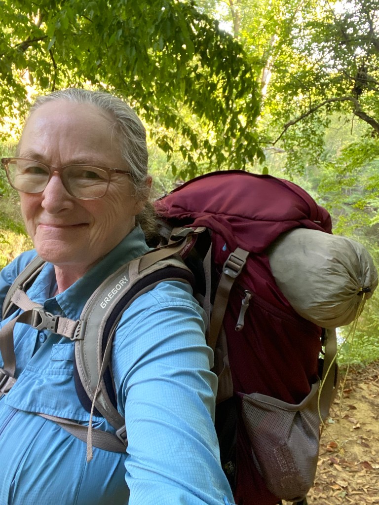
I did some training hikes around (and around) Mt. Occoneechee.
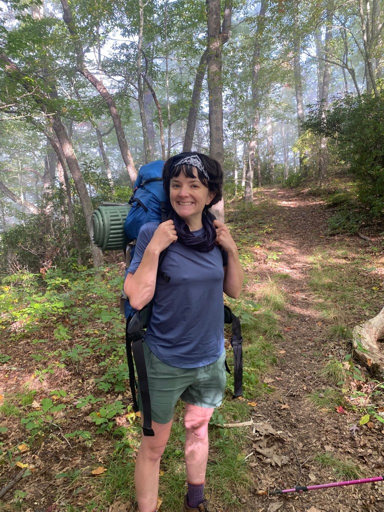
And I acquired a backpacking partner, my daughter Shannon!
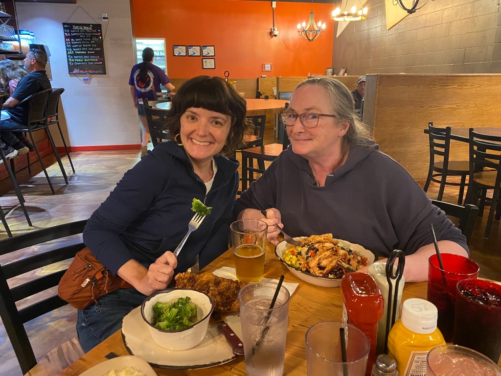
On Sunday afternoon we drove to Cherokee and enjoyed a hearty meal at Native Brews Tap & Grill.
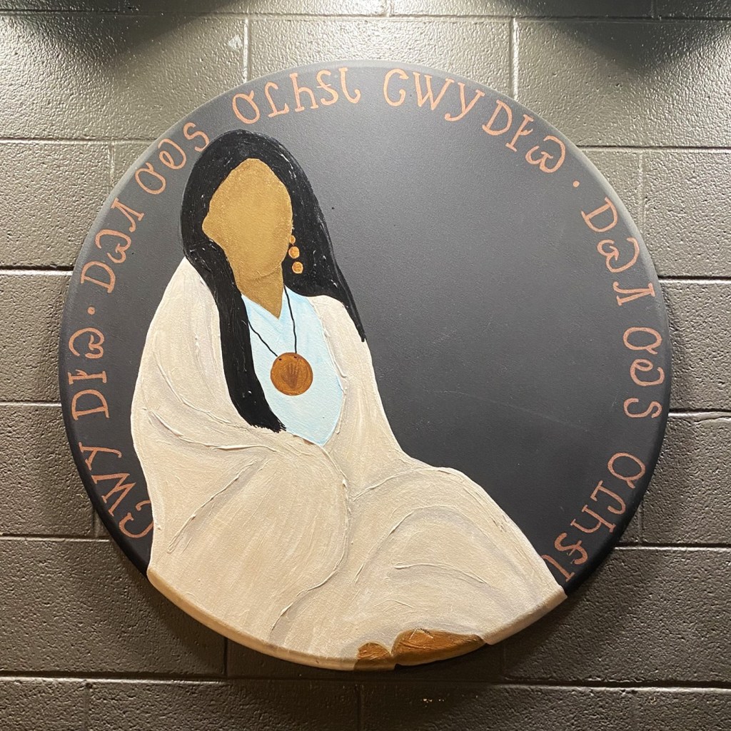
The 114th Cherokee Indian Fair was being held in town this week, but we were headed up the mountain early Monday morning, well before the parade blocked the main road.
DAY 1
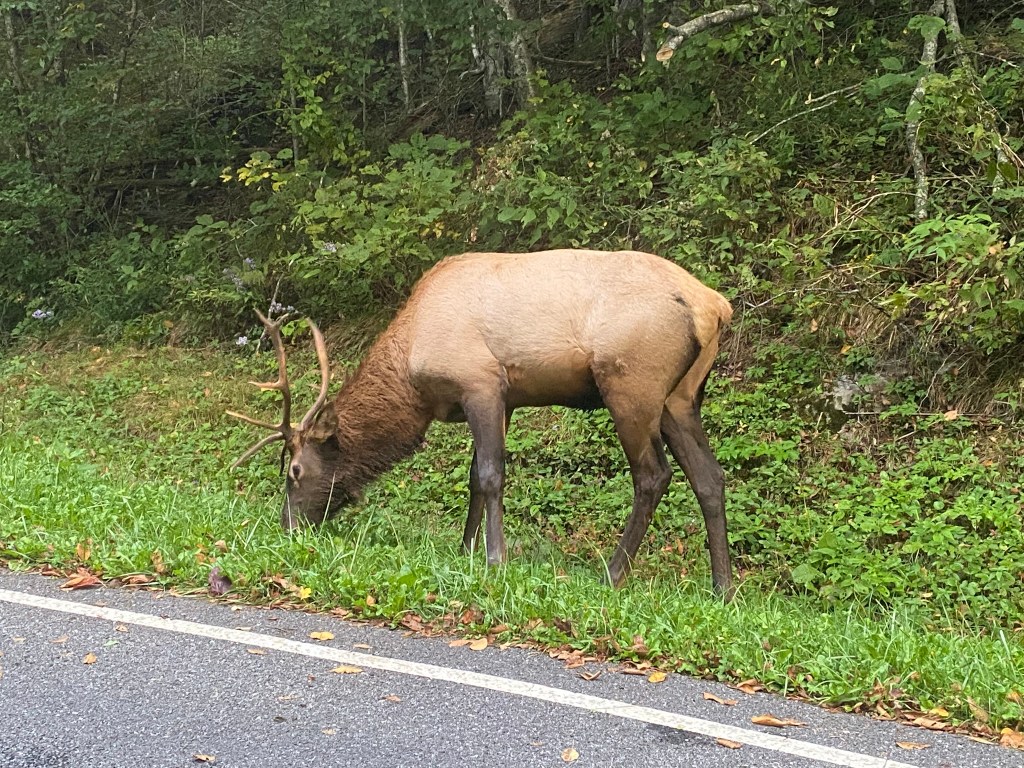
Elk are commonplace throughout the Great Smoky Mountains National Park.
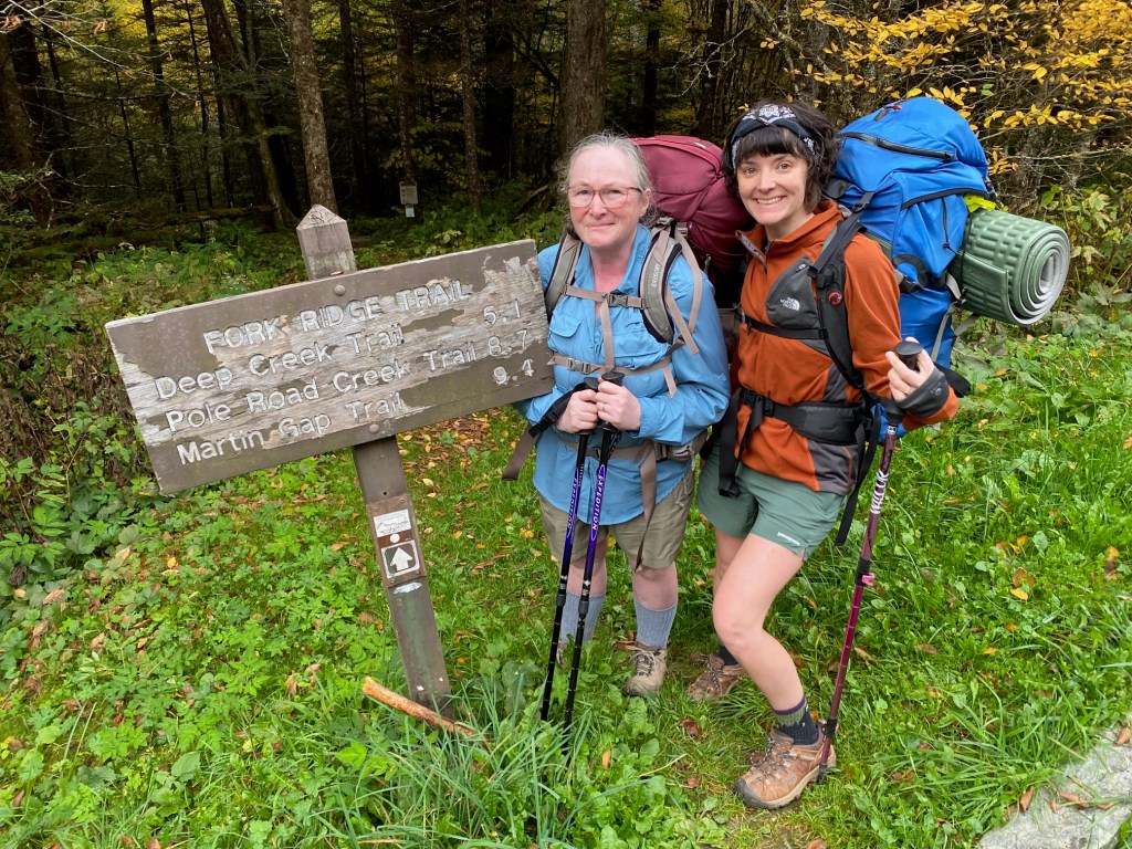
Ready to go at the Fork Ridge trailhead!
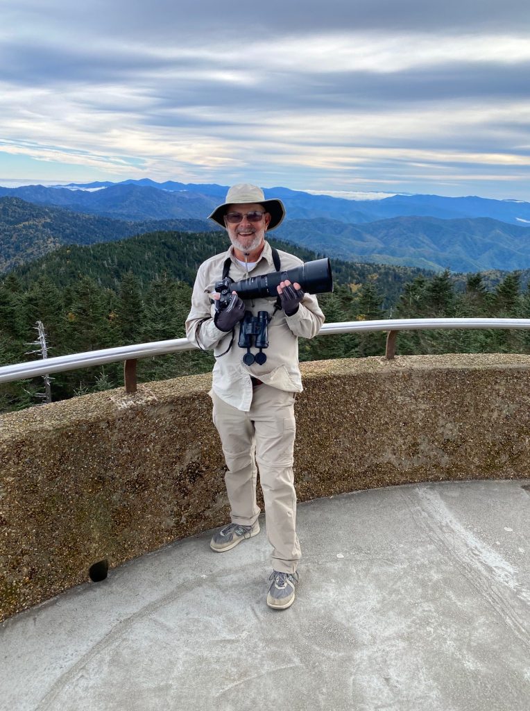
After dropping us off, the husband-shuttle proceeded up to Kuwohi (aka Clingmans Dome), and ended up having three excellent days of birding there and in the surrounding counties.
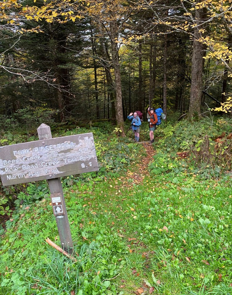
(On Day 2 we were able to get a text message out, which helped alleviate any concern about our well-being.)
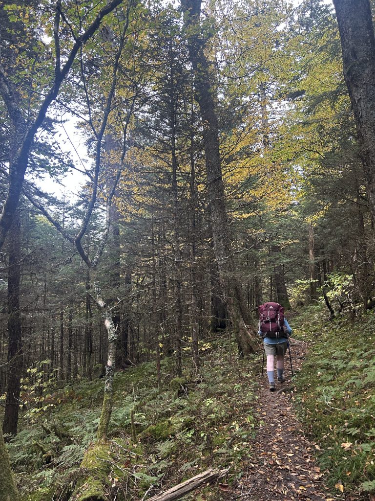
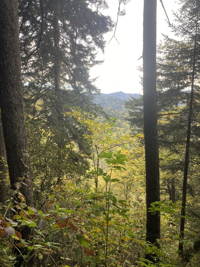
Our viewpoints were quite limited, with only rare glimpses at the surrounding ridgelines.
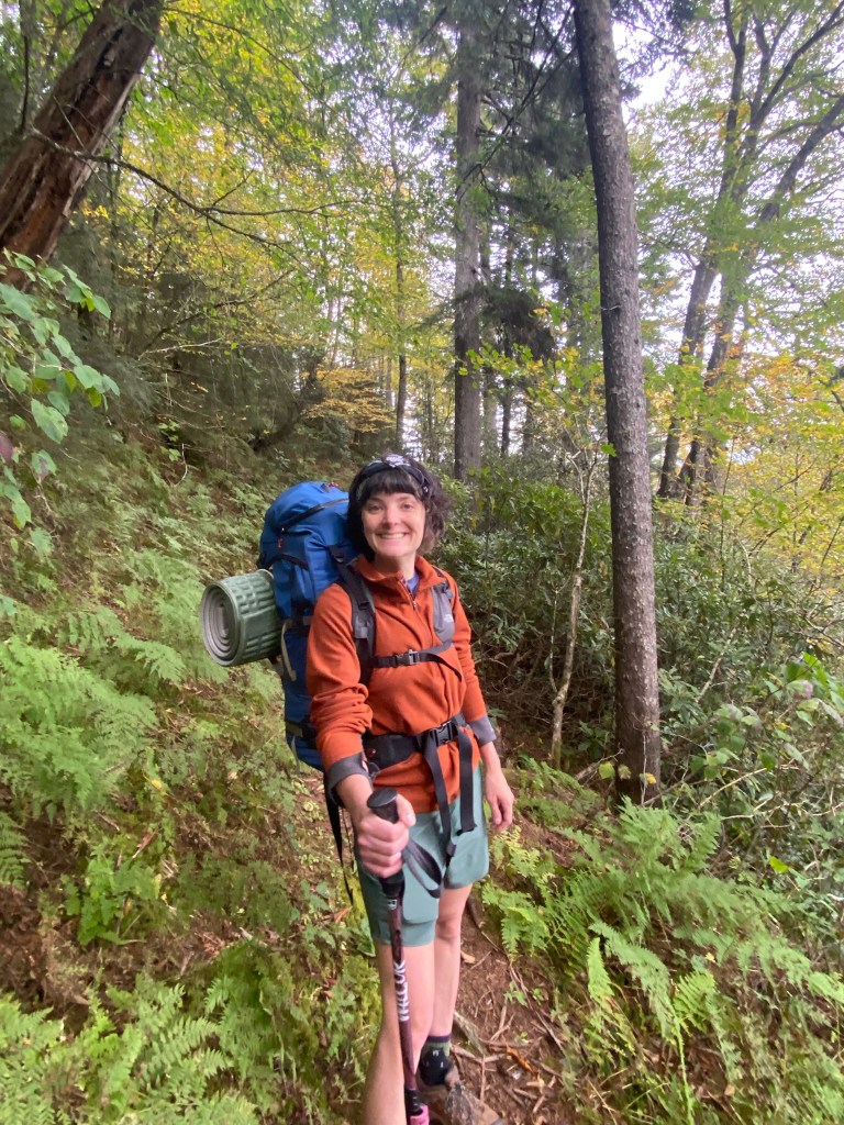
From Fork Ridge, it was a gentle 5-mile descent to Deep Creek.
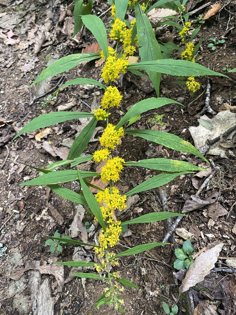
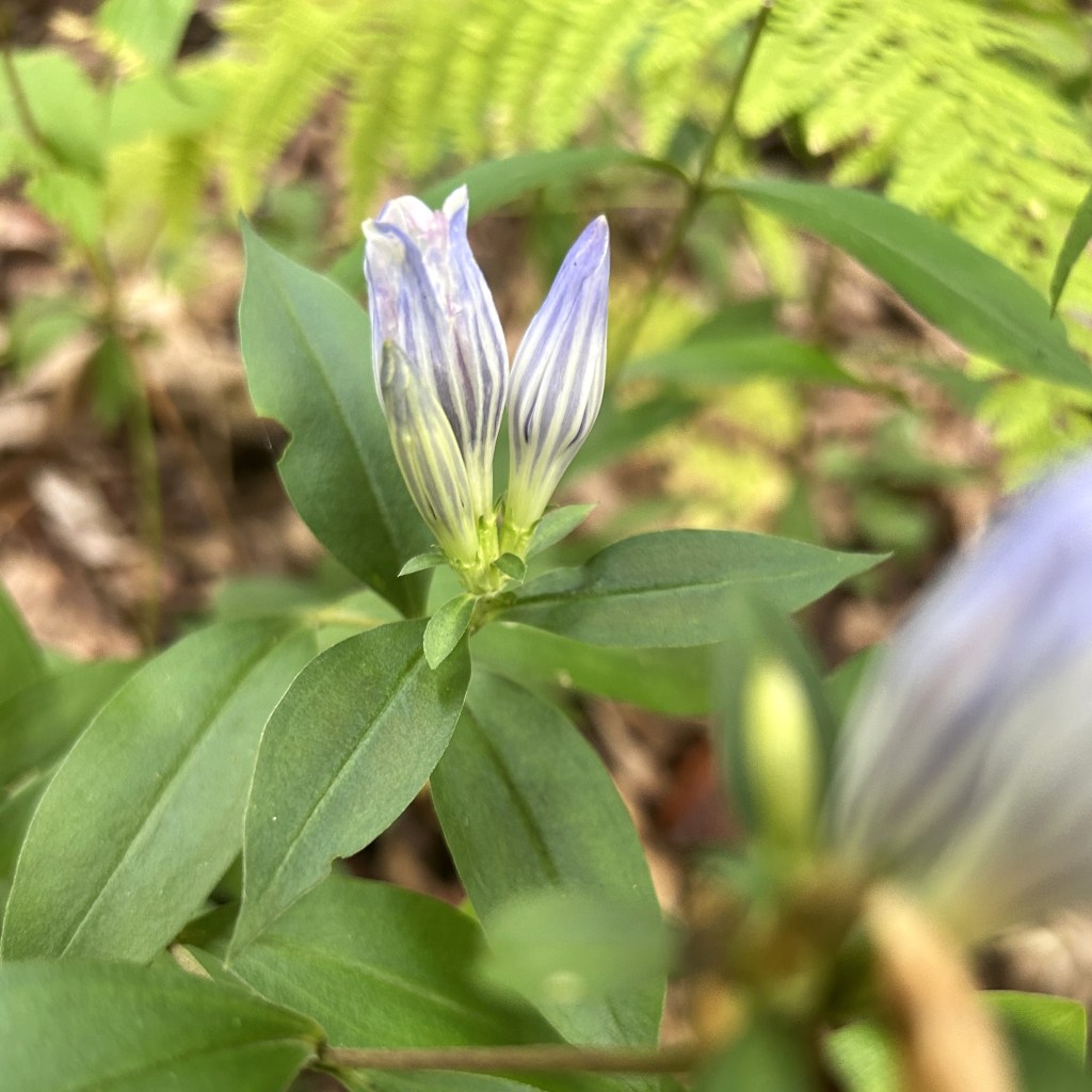
Only a few wildflowers are in bloom this late in the year.
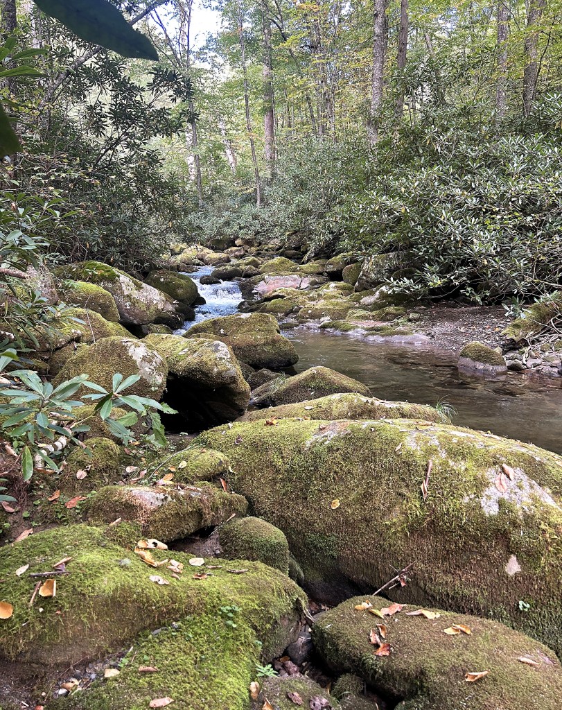
We spent some time before crossing Deep Creek, to rest and to choose the best route across.
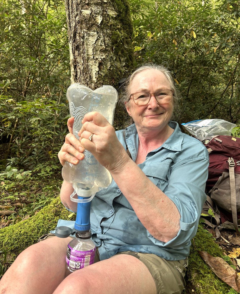
First time ever using a water filter in the field, although I had, of course, practiced at home.
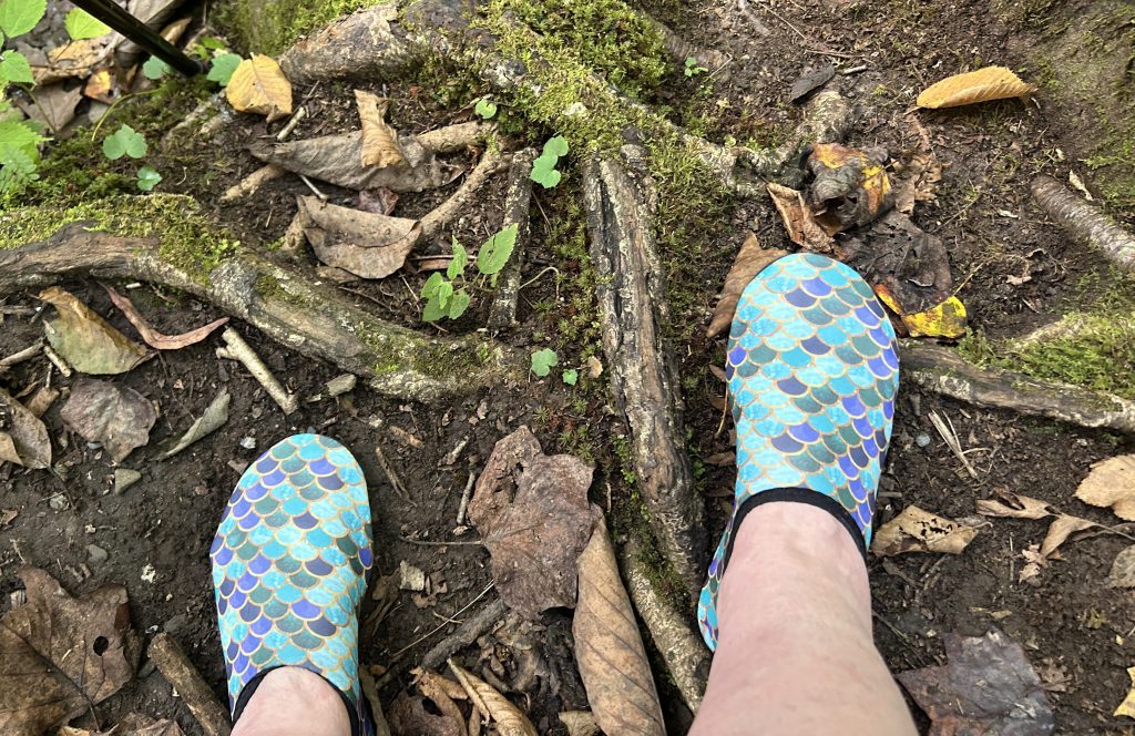
Water shoes — ready!
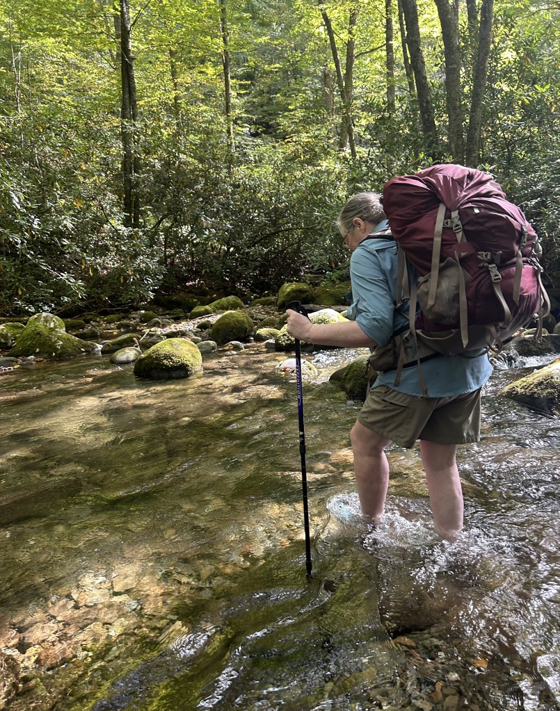
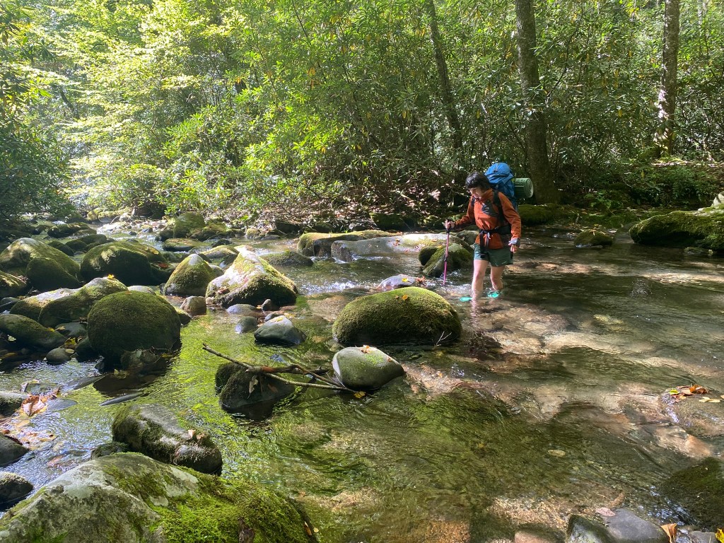
Refreshing! The water level remained below our knees where we crossed.
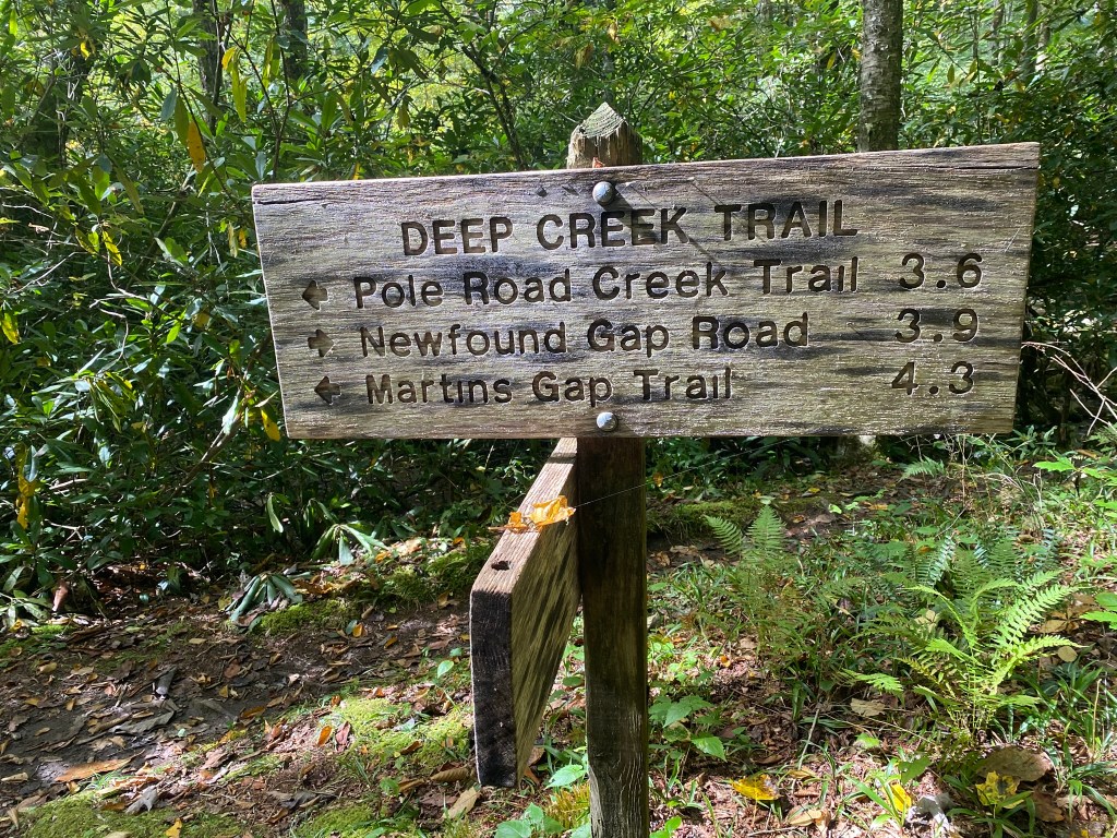
The official GSMNP site warns of significant trail washout and potentially dangerous creek crossings along this section, but we had no issues.
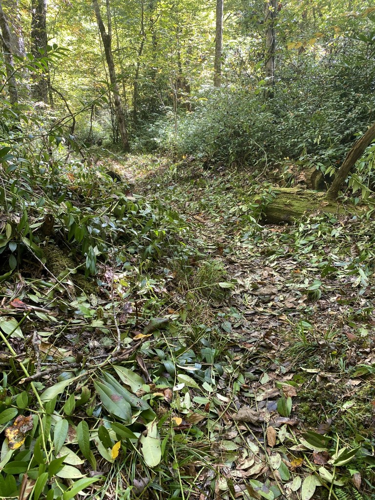
And it was clear that there had been very recent trail maintenance along Deep Creek, which was an absolute blessing.
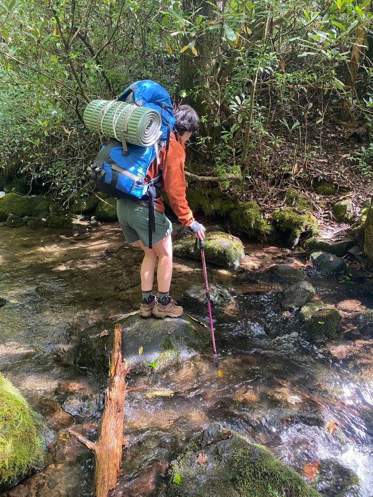
We were able to rock-hop all the remaining creeks throughout the trip, although I still used the water shoes as slippers at the campsites.
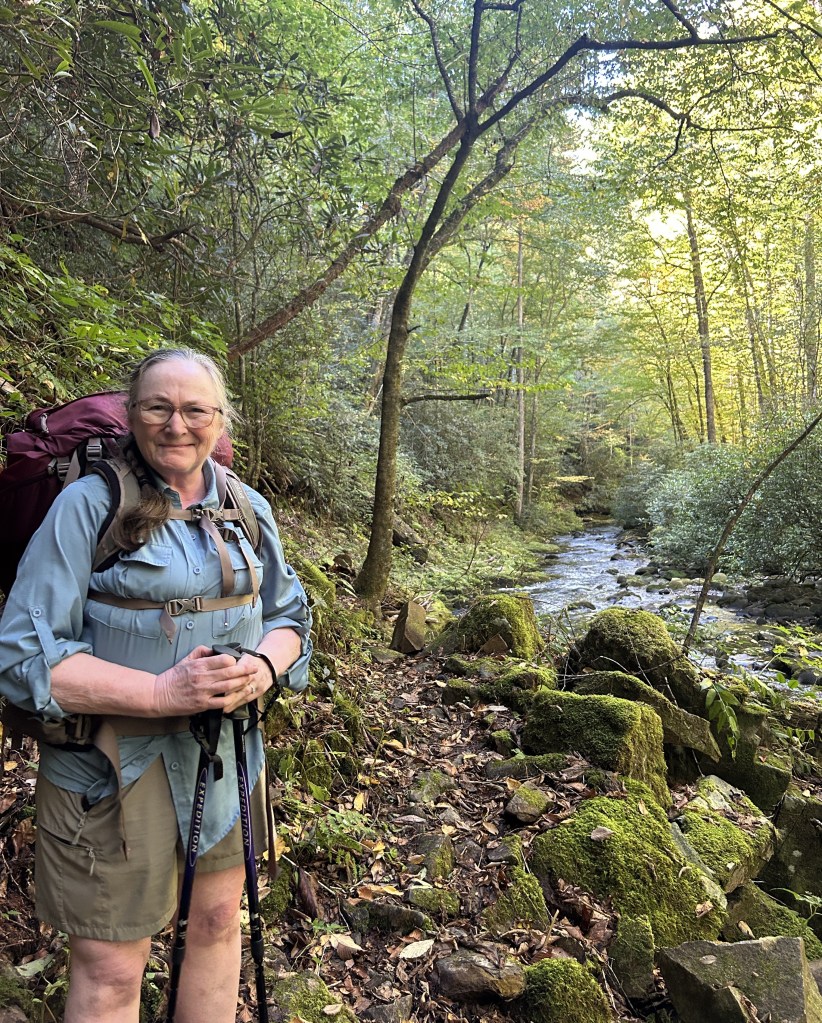
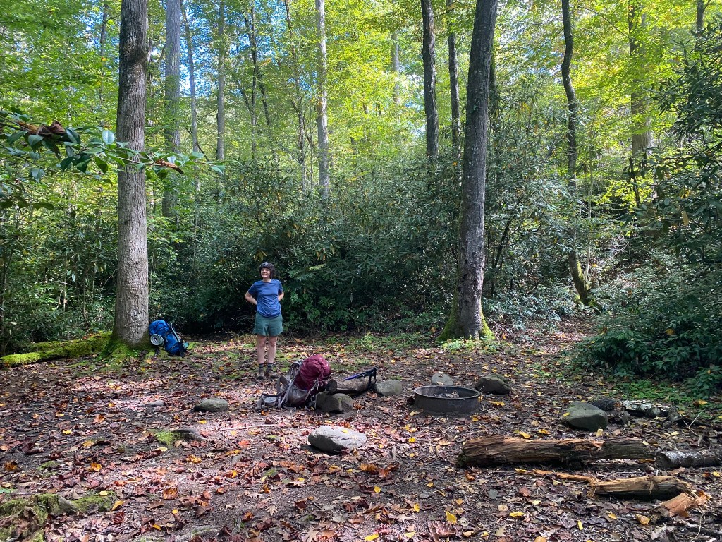
Our reservation was for #54, Nettle Creek, but we found it dank and dark, and too far from Deep Creek. Since no one had signed up for the next campsite, we pushed on another mile to #55, Pole Road Creek.
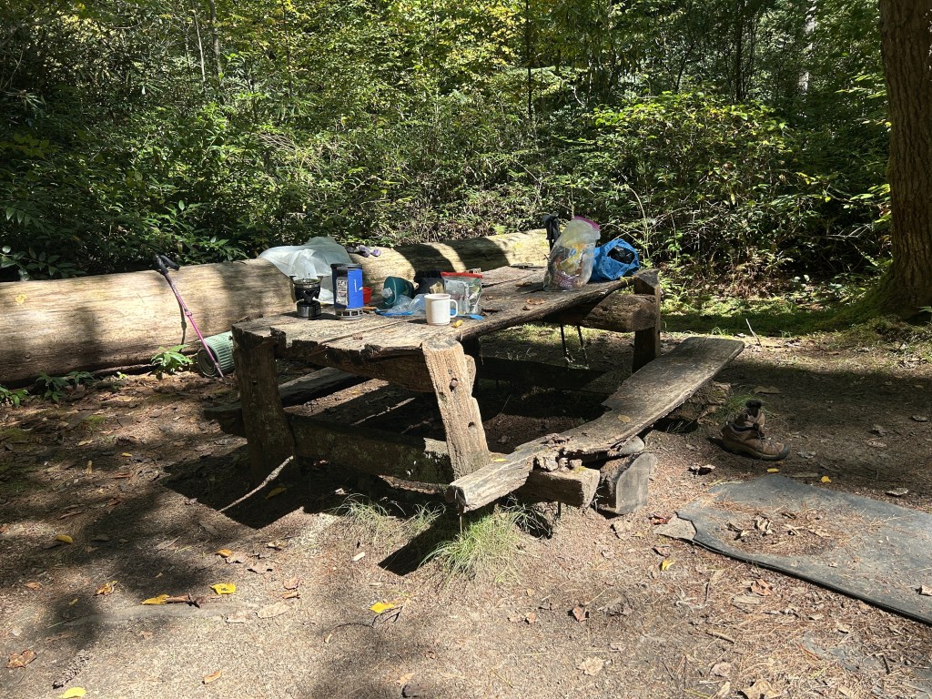
It was FAR BETTER–and highly recommended. Right by the creek, with dry, flat camping spots, dappled sunshine, and this rustic TABLE.
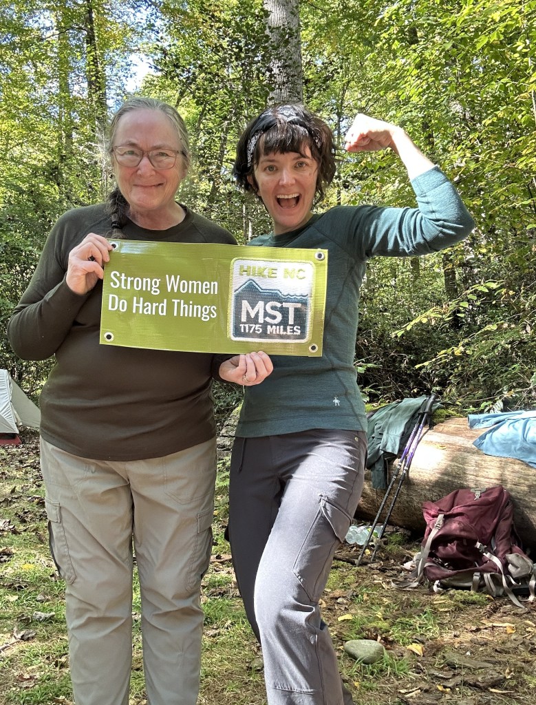
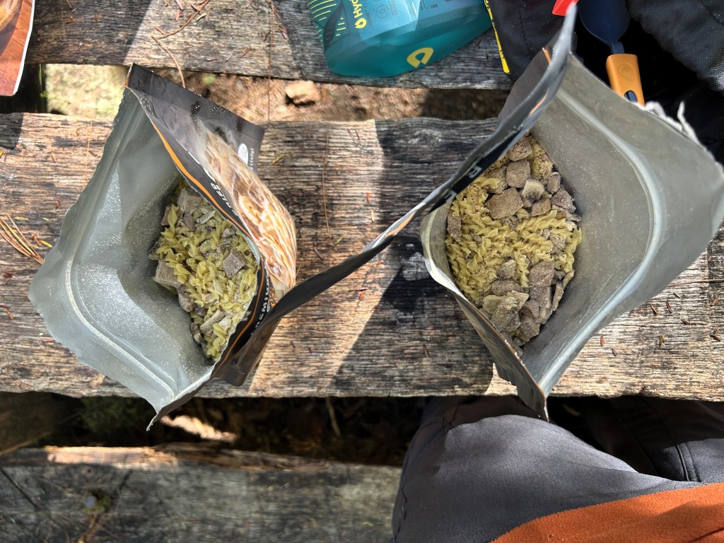
We set up camp and eventually boiled water for hot drinks and these (rather unappetizing) stroganoff dinners.
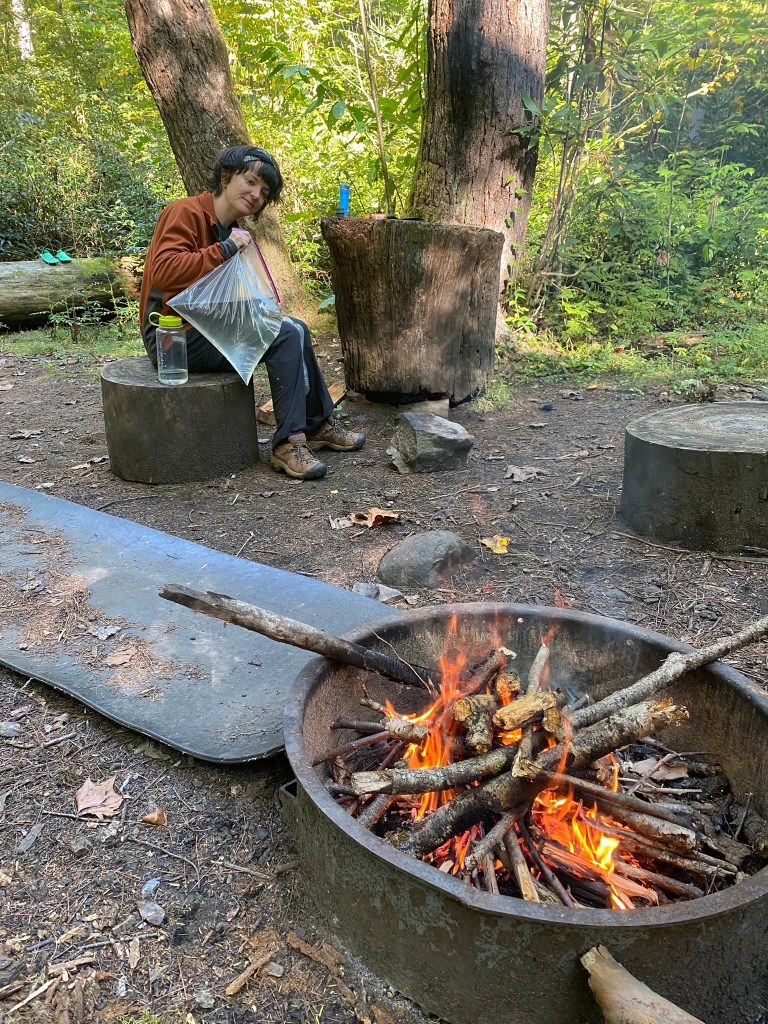
We had plenty of time to rest, enjoy our campsite, and slowly filter water for tomorrow’s hike (which would have very few creek crossings).
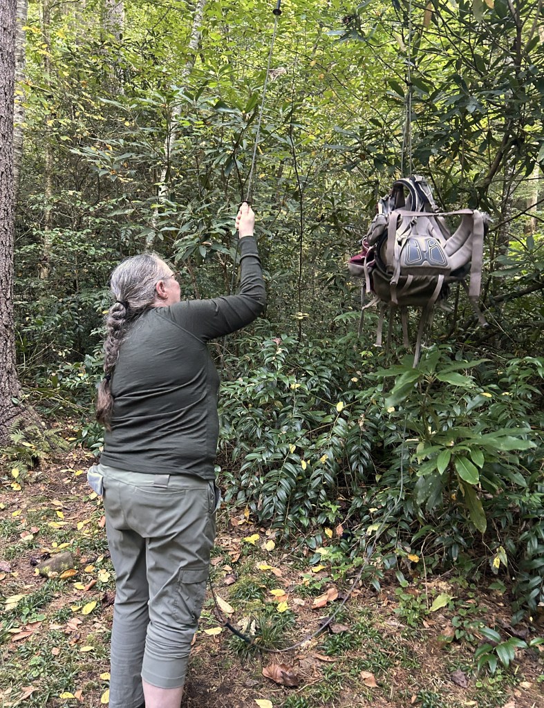
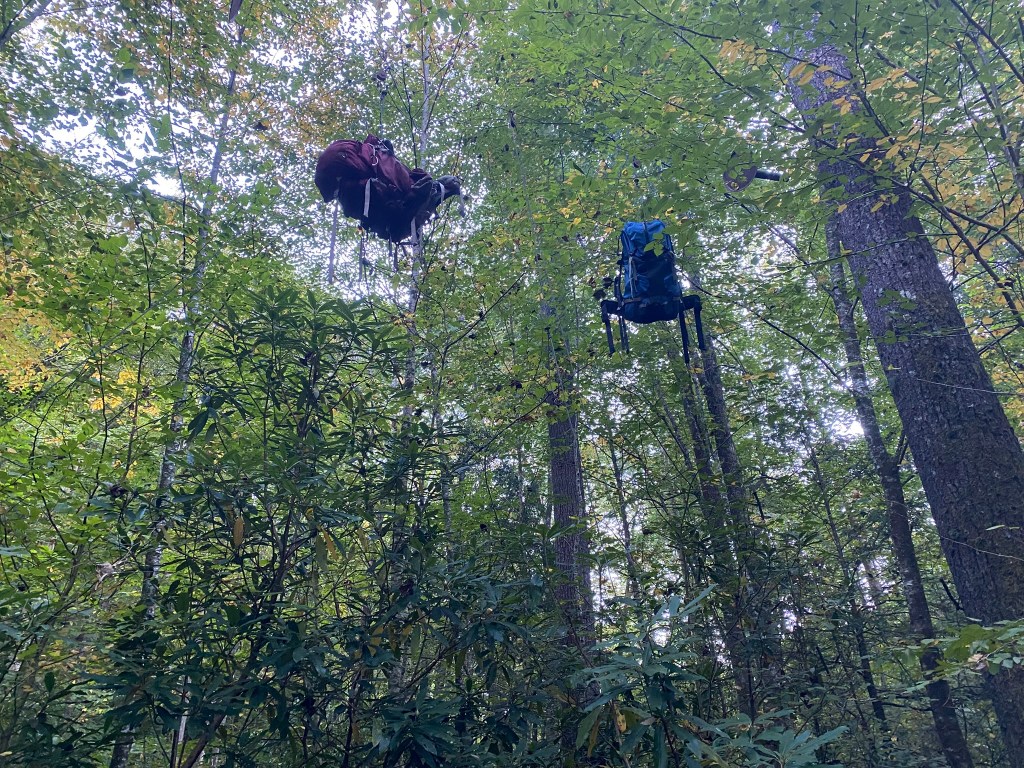
The campgrounds provide a cable system to hoist up your food and trash, to discourage bear activity.
When darkness fell at 7:30pm, we were in the tent and soon asleep. I did have to get up once during the night, though, and oh, how bright were the stars.
DAY 2
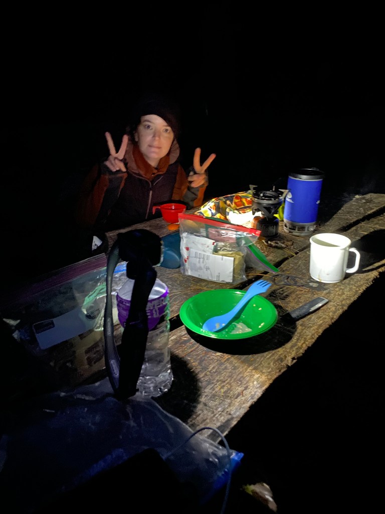
We were up at 6am, but as it was still an hour to sunrise, we had breakfast in the dark. It was chilly enough to see our breath, but we had been toasty warm in our down sleeping bags.
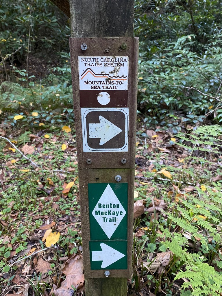
On the trail by 8:45am.
This is our UPHILL day.
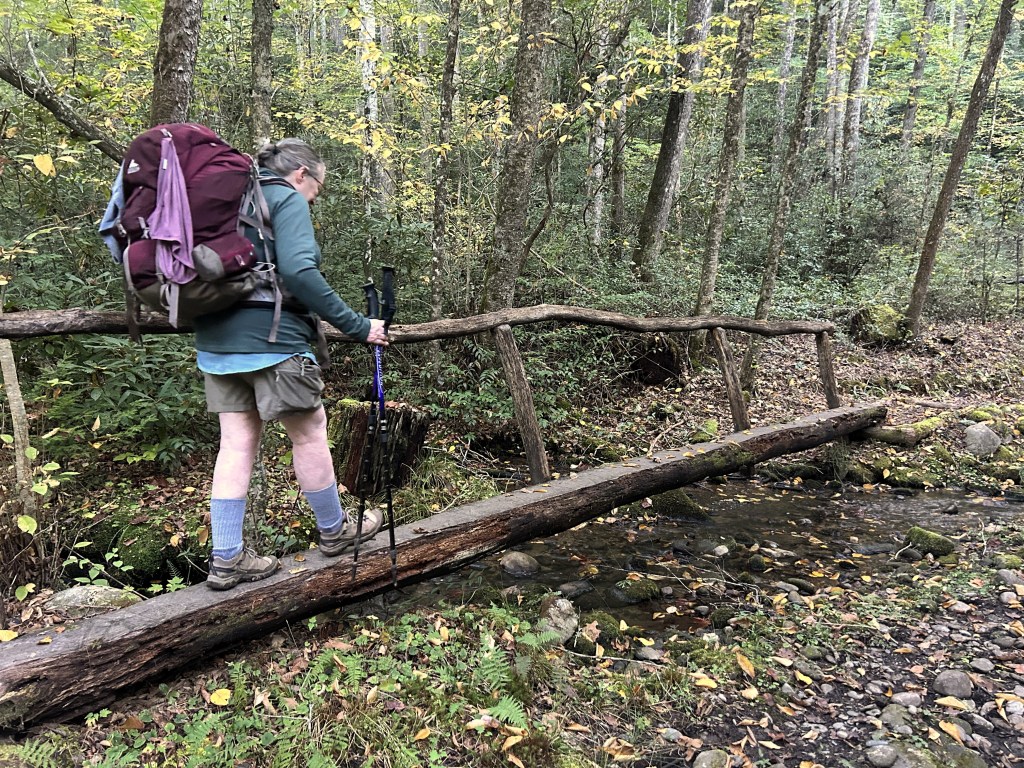
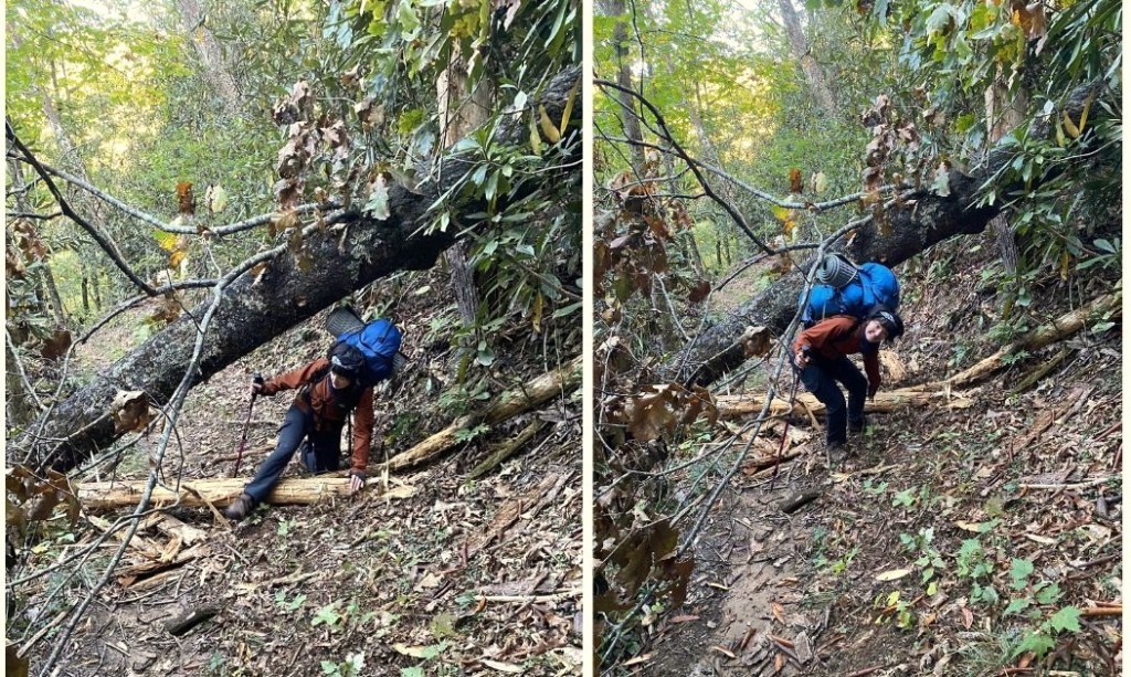
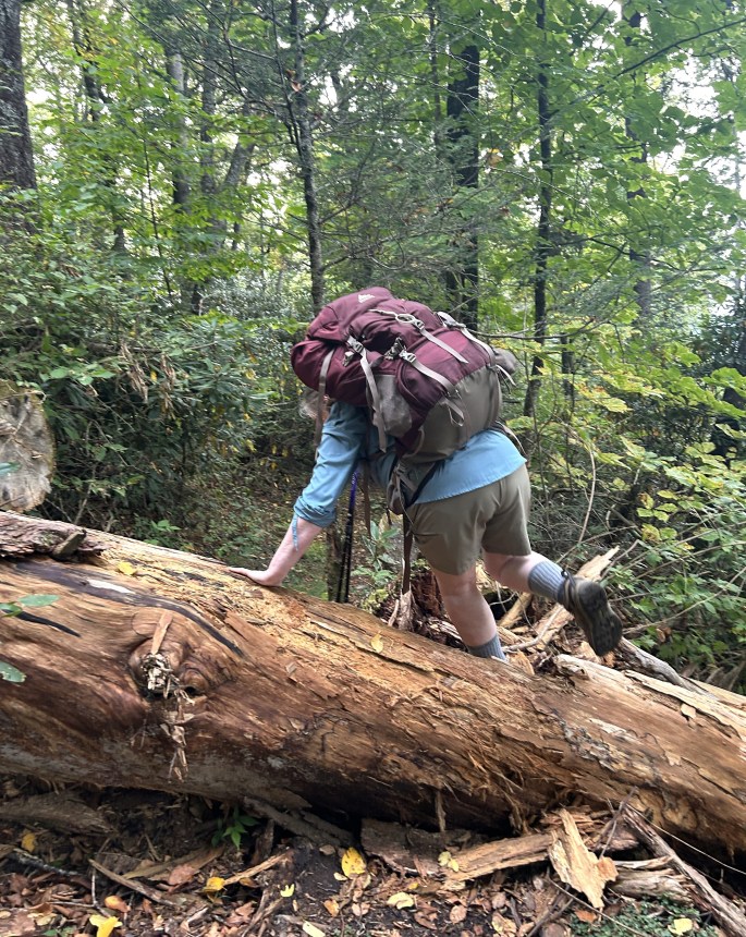
Obstacles such as downed trees kept the route interesting!
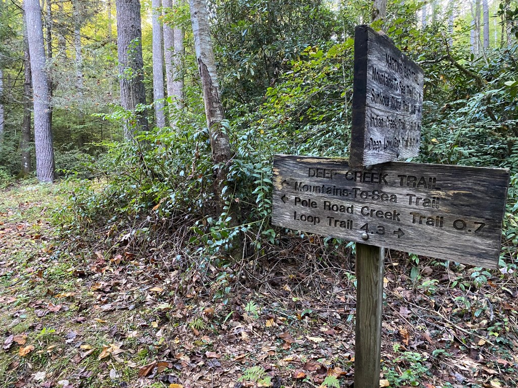
Navigation was never an issue. Clear signposts at every junction, plus I use the MST trail guide directions as well as the FarOut app for any necessary clarification.
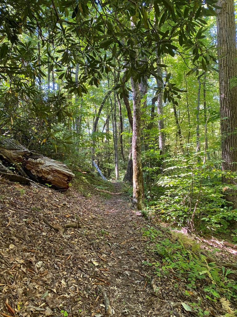
The trail ascended steadily up from the Deep Creek valley for about six miles, but it was only occasionally what I would consider “steep.”
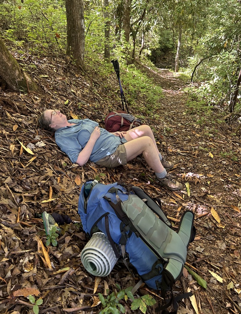
We would hike for about 45 minutes, then take a packs-off break. No particular reason to hurry to the next campsite.
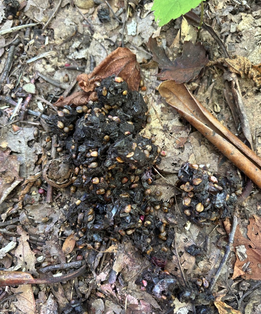
The closest we came (that we know of) to a bear.
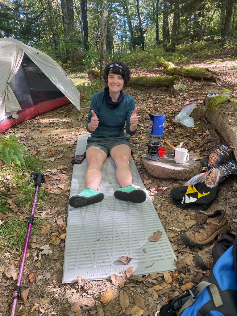
We arrived at #52, Newton Bald, around 2:30pm. Shannon took care of fetching and boiling water, and I did tent setup and campfire building.
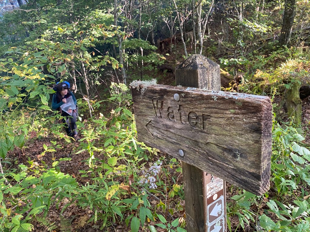
“Fetching Water” entailed a quarter mile hike down to a very small stream, and then hauling pounds of water back uphill. Thank you, Shannon!
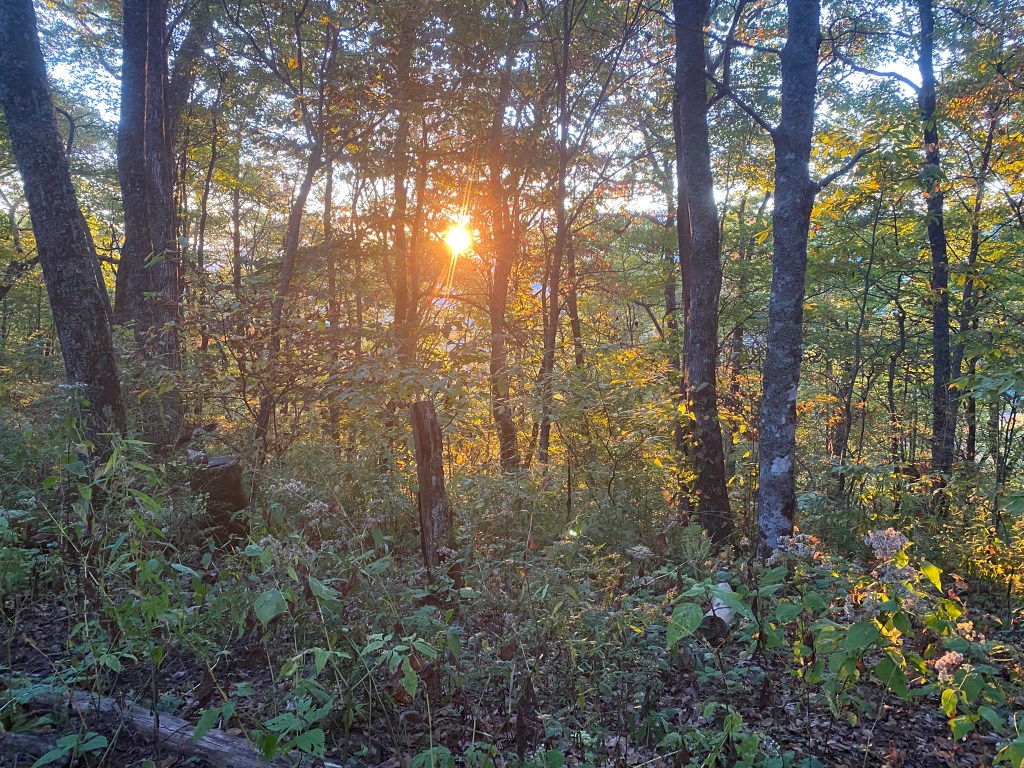
Day is done, gone the sun, from the lake, from the hills, from the sky.
All is well, safely rest, God is nigh.
Day 3
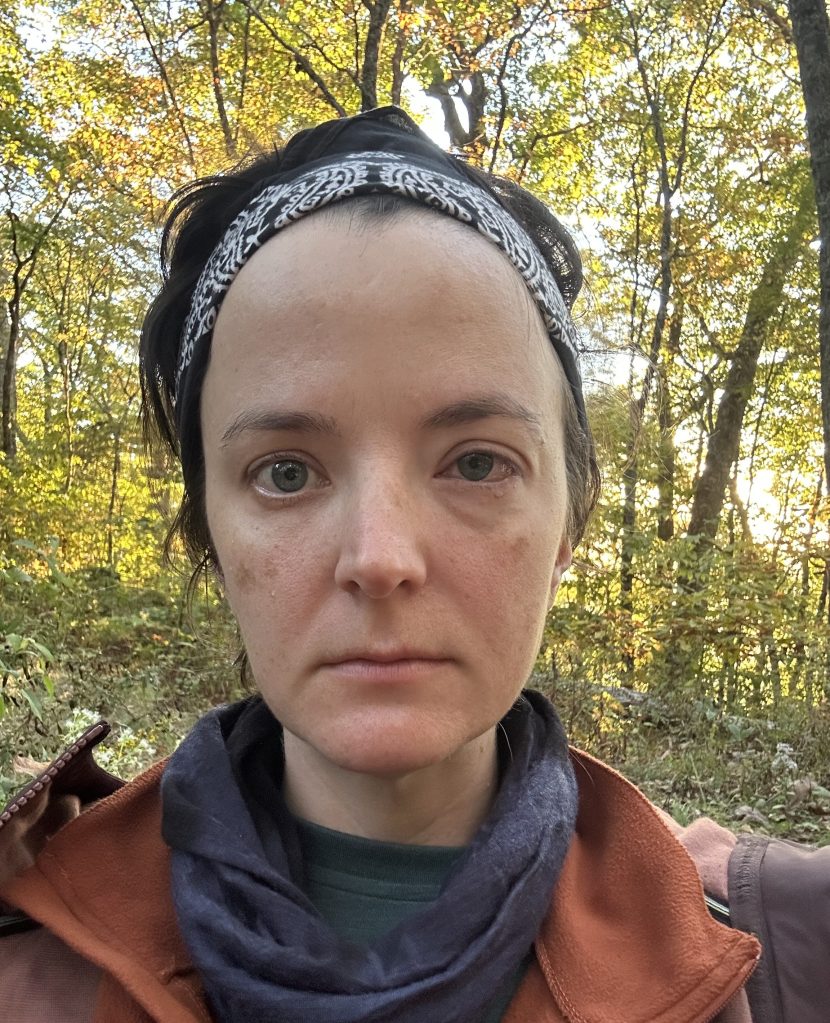
Last night Shannon got something scratchy in her eye, and it turns out the little packets of eye drops I had in my first aid kit were empty (I forgot to replace them after use).
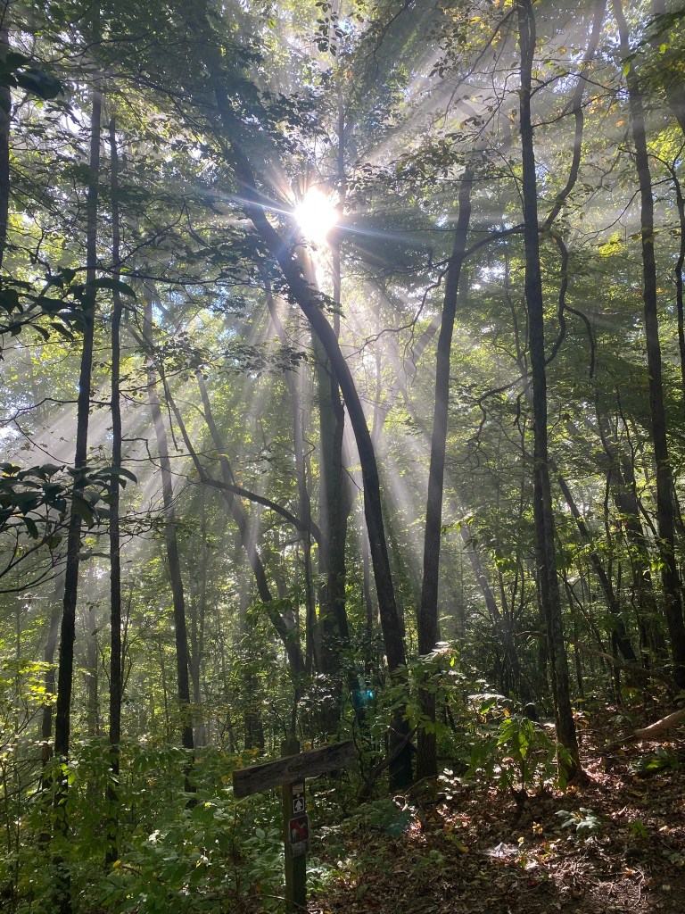
Despite a later wake-up time (6:30am), we were on the trail by 8am. We are now EXPERT backwoods campers!
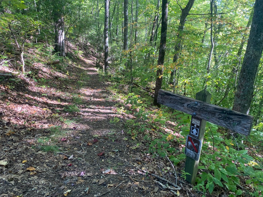
Today’s route was mostly downhill towards Cherokee, and also our shortest day, at 6.5 miles.
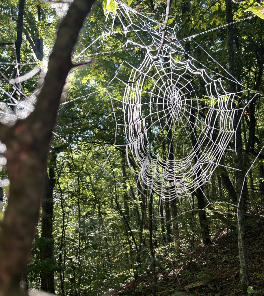
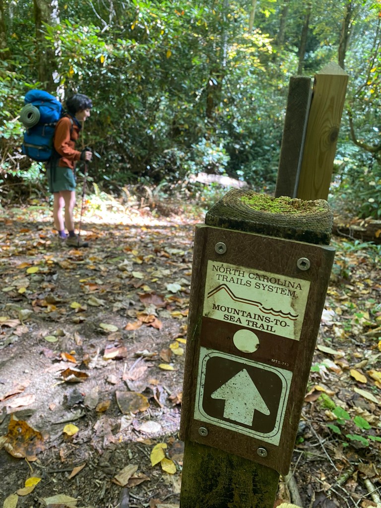
The MST guide described the six descending switchbacks as “steep”, but they were actually rather moderate.
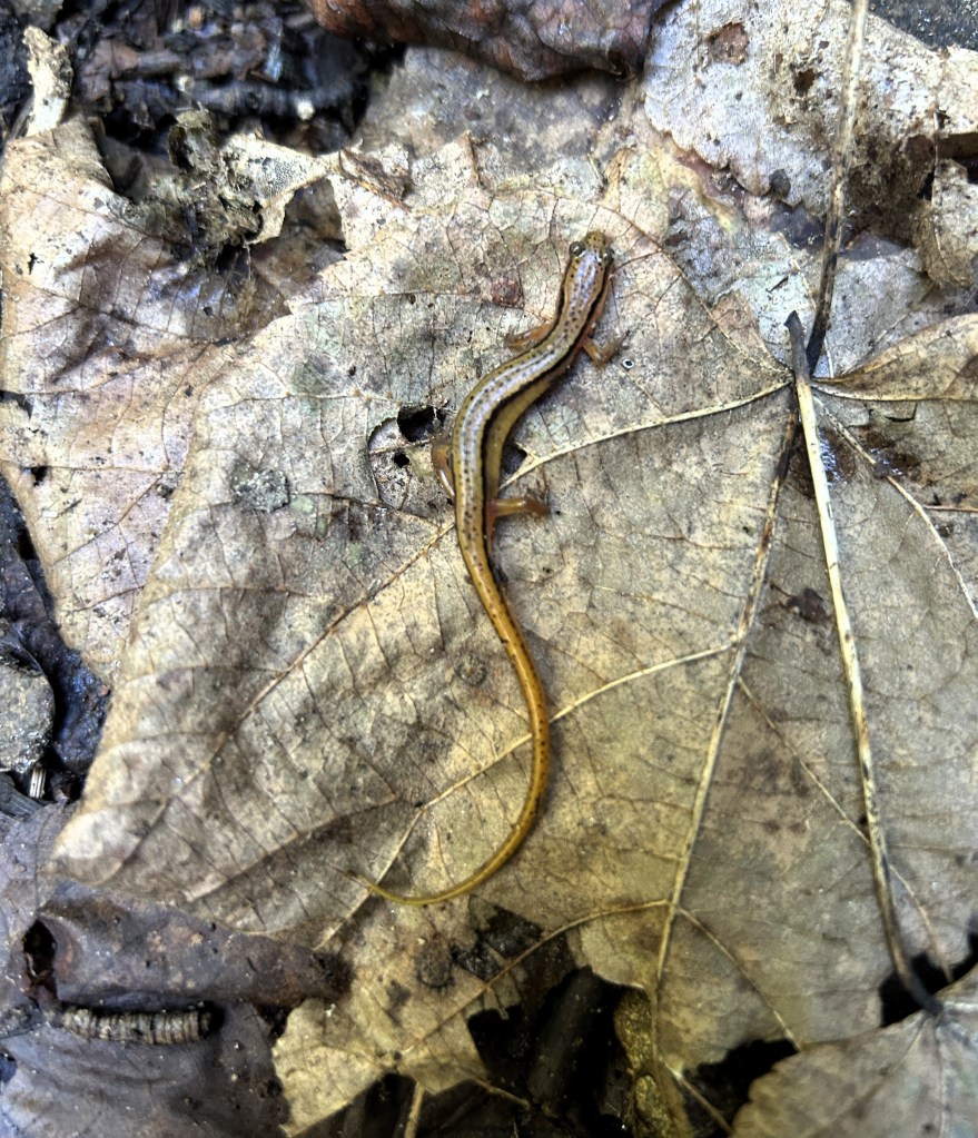
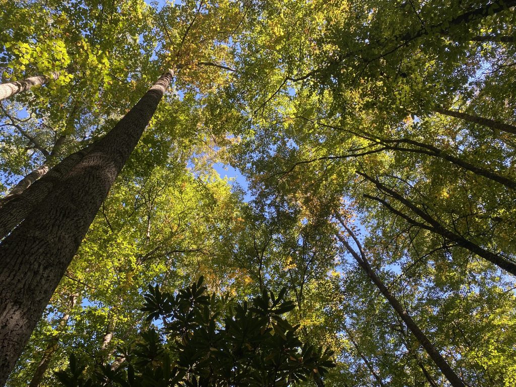
I didn’t take many photos today–we must have been eager to complete the adventure!
The only real difficulty was one mile of rocky creek-trail where we stepped slowly and cautiously to avoid any last-minute twisted ankles.
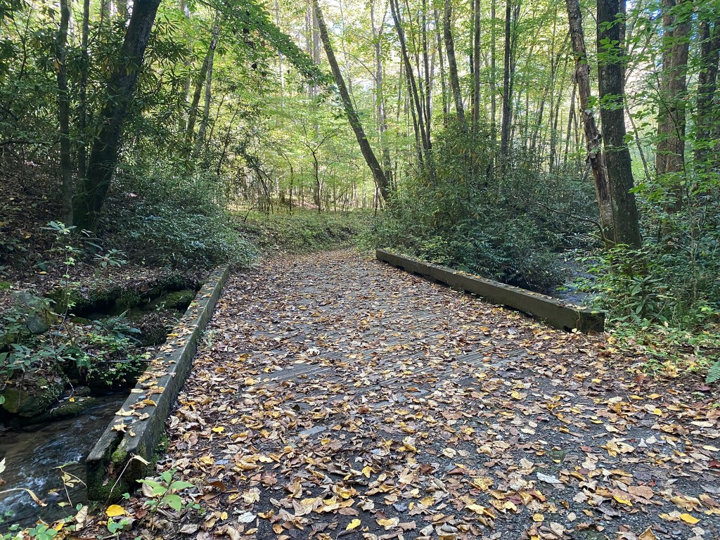
You can tell you’re near civilization when the bridges get really big!
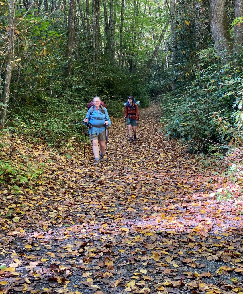
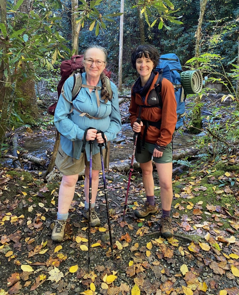
We did it!
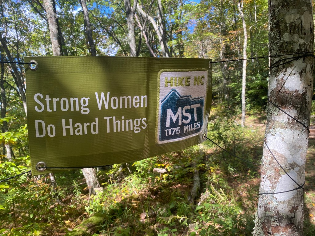
I have 3 more hikes—27 miles—left to finish the MST.

