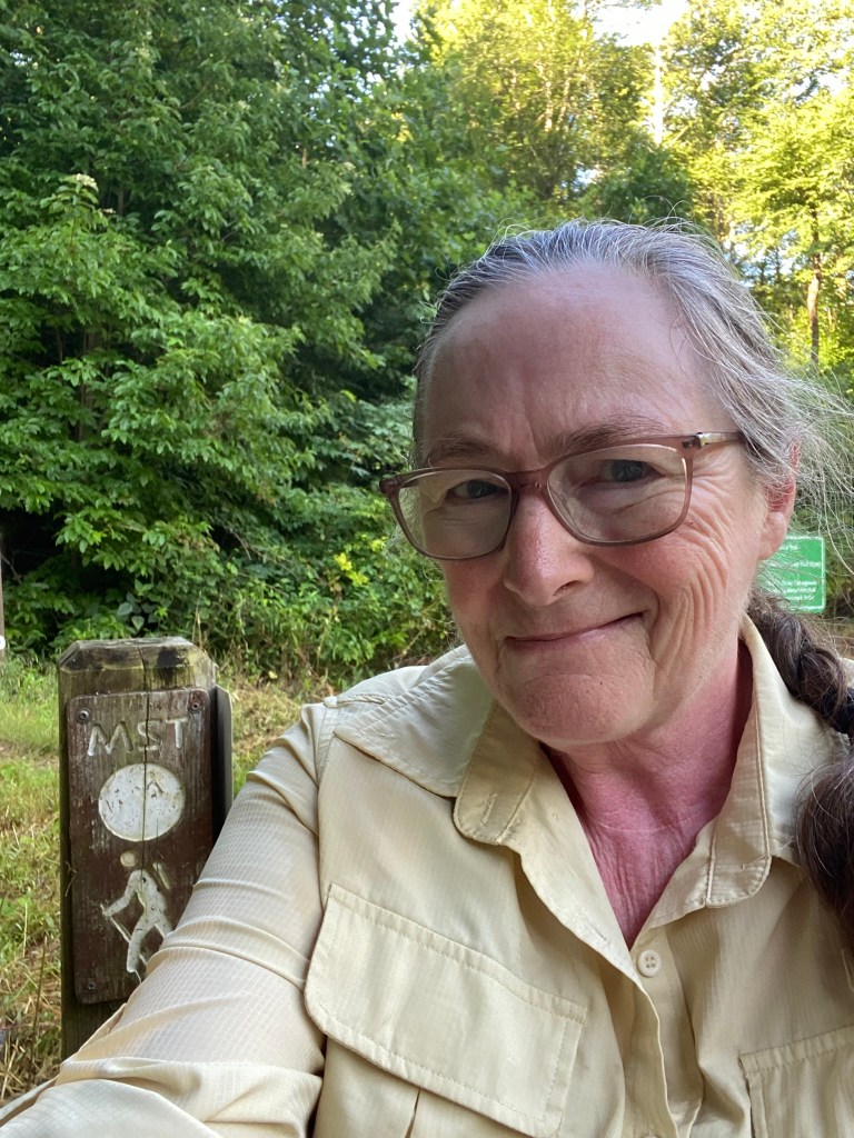
Buck Creek Gap to South Toe River trailhead, westbound
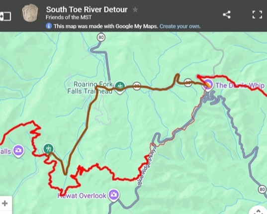
July 20, 2026. A section of the trail is unpassable between South Toe River and Buck Creek Gap, so there is an approved (and optional) detour on roads, shown in dark brown on the map. It’s optional because of safety issues, but I’ve done hundreds of miles of roadways, so I wasn’t all that concerned. The detour is 5.2 miles.
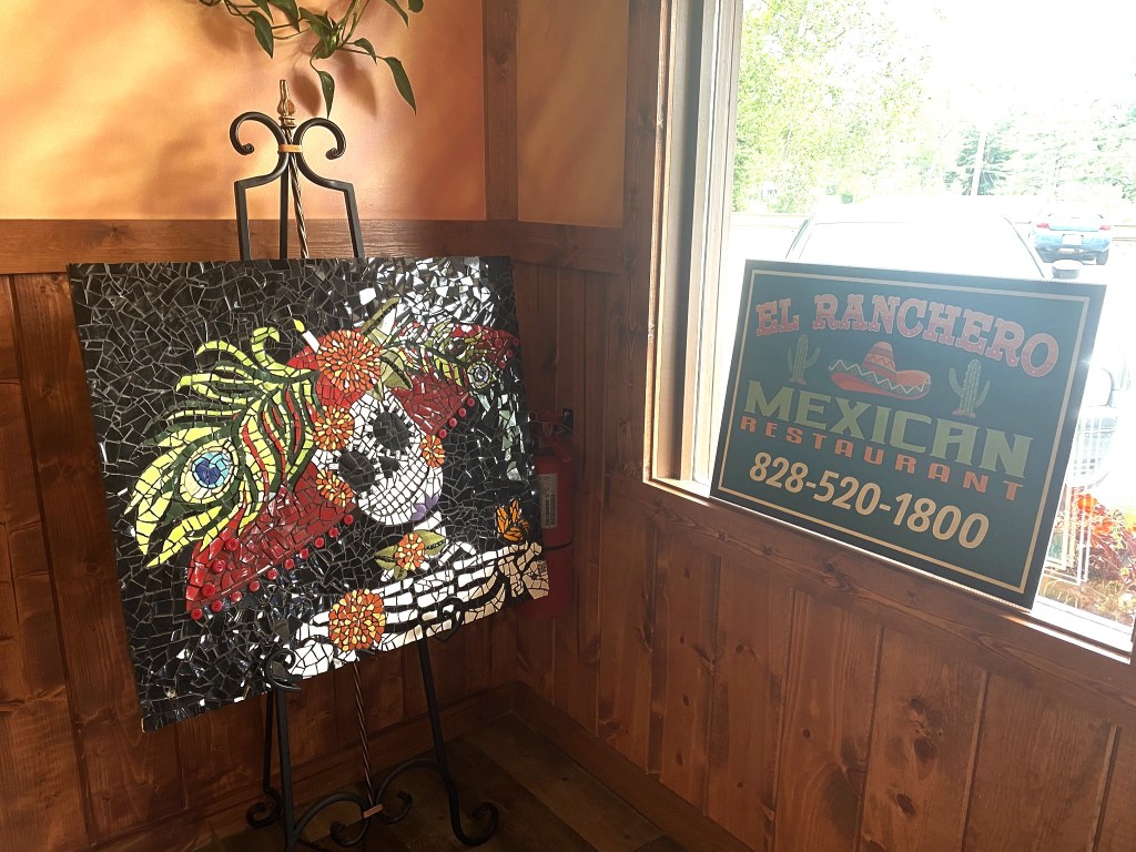
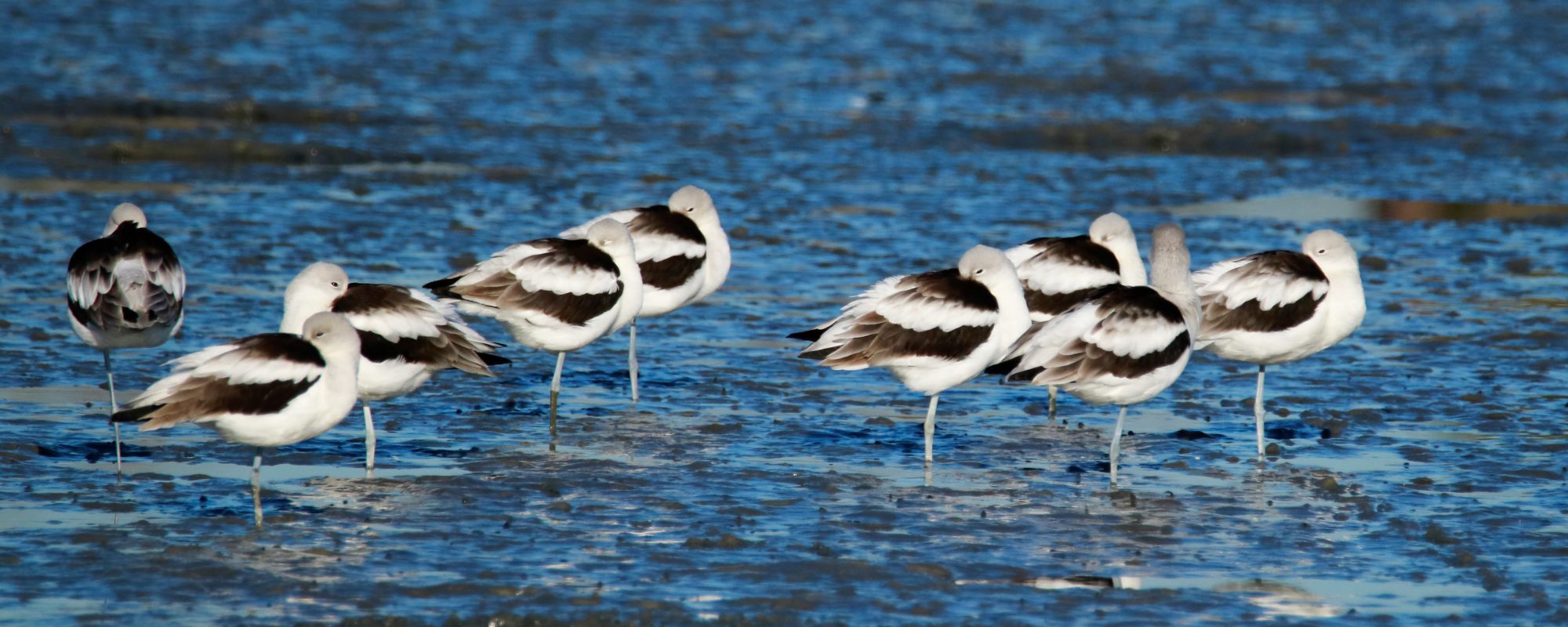
Sunday afternoon we drove up to our Airbnb, stopping for some hot and humid birding, and then dinner in Spruce Pine, where we watched the World Cup soccer final (Spanish-speaking broadcast), while enjoying some tasty Mexican food.
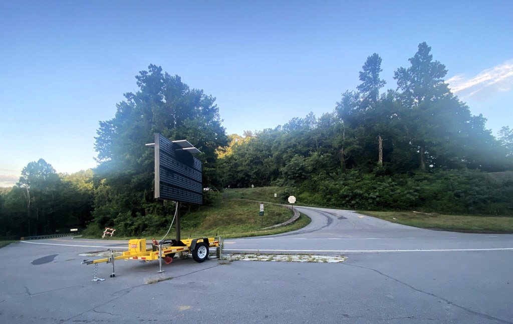
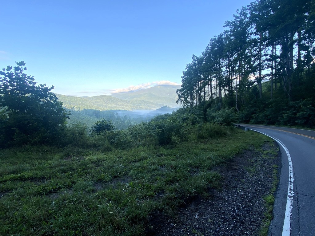
Monday morning: The Blue Ridge Parkway is still under re-construction here at Buck Creek Gap.
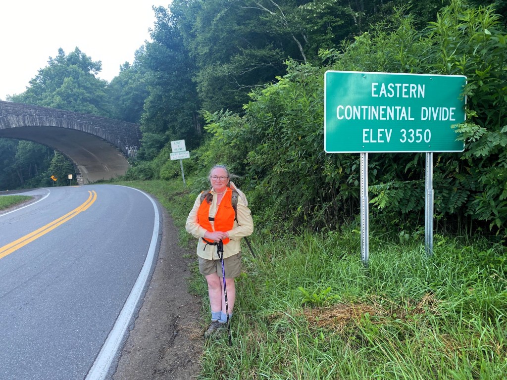
I started well past sunrise and wore a hunter’s vest for extra visibility.
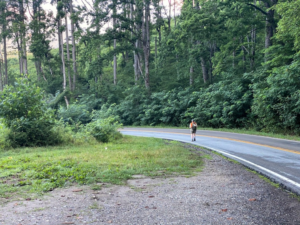
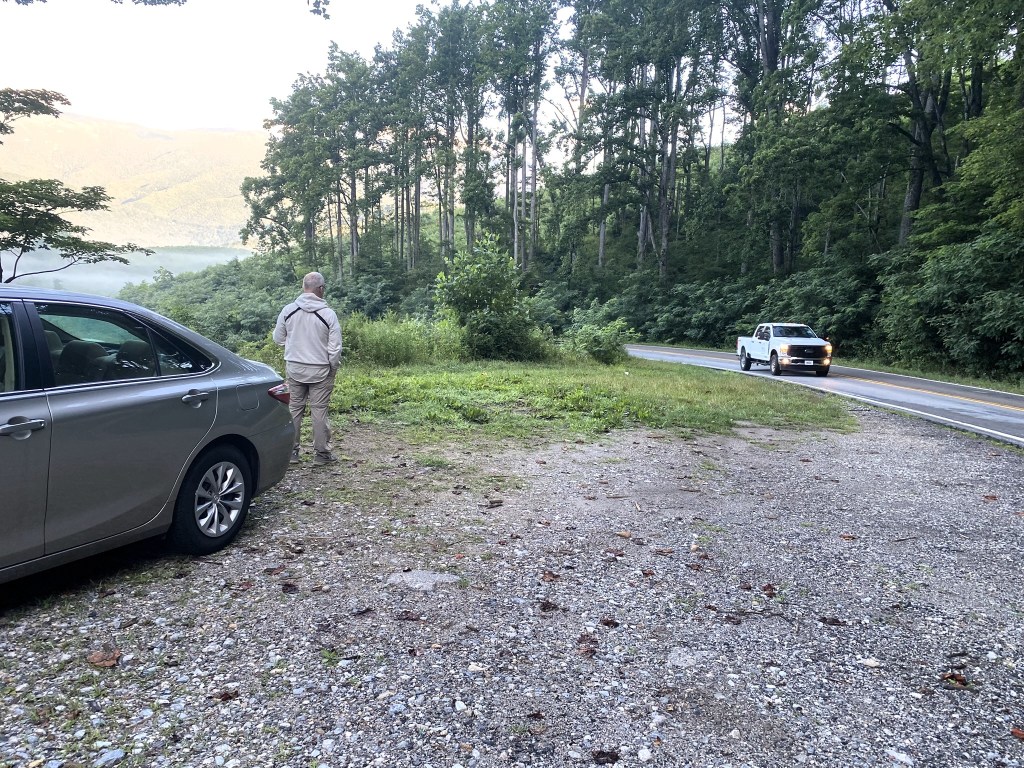
The husband-shuttle leapfrogged me back down the mountain, stopping at pullouts to look for birds. Traffic was not bad at all, and I could hear the trucks coming uphill in plenty of time to step off the roadway onto the shoulder.

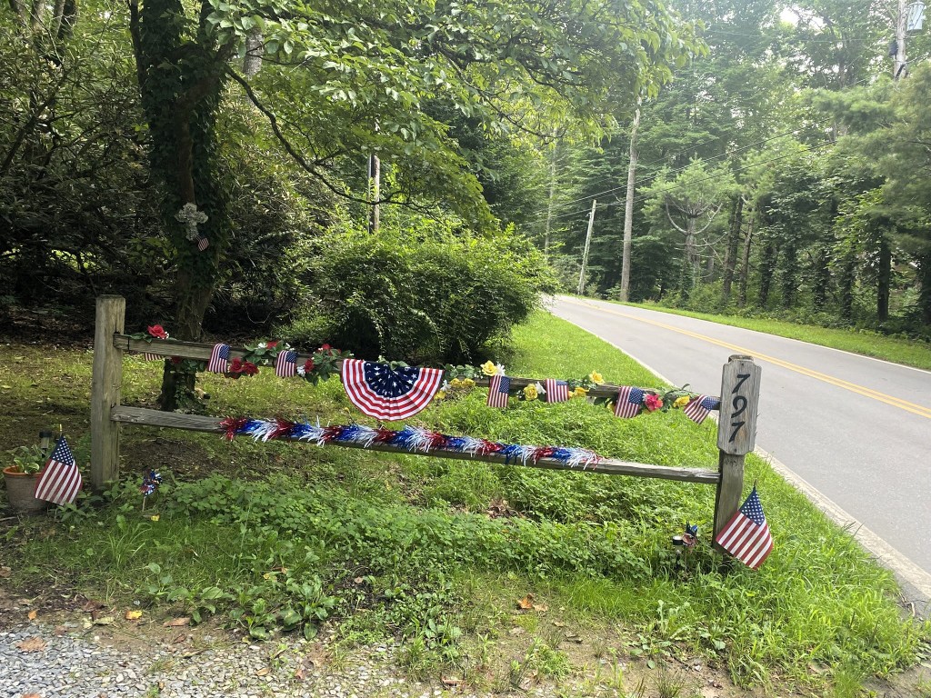
Along the MST roadsides, you see a lot of abandoned vehicles, but I’ve been on the trails in the mountains for a while now, so this was definitely a throwback to earlier hiking experiences!
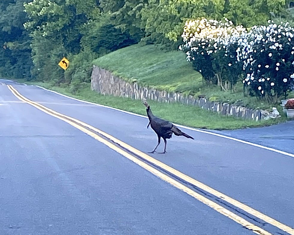
Initial thought: Wow, that’s a REALLY BIG chicken!
Second thought: No, it’s too big for a chicken. It must be a goose.
Final thought: It’s a Wild Turkey, of course, and just what kind of birder am I, anyway?!?!?!
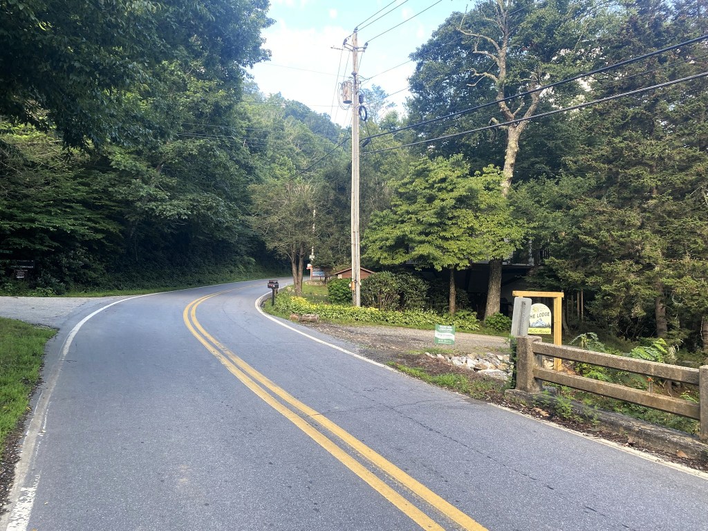
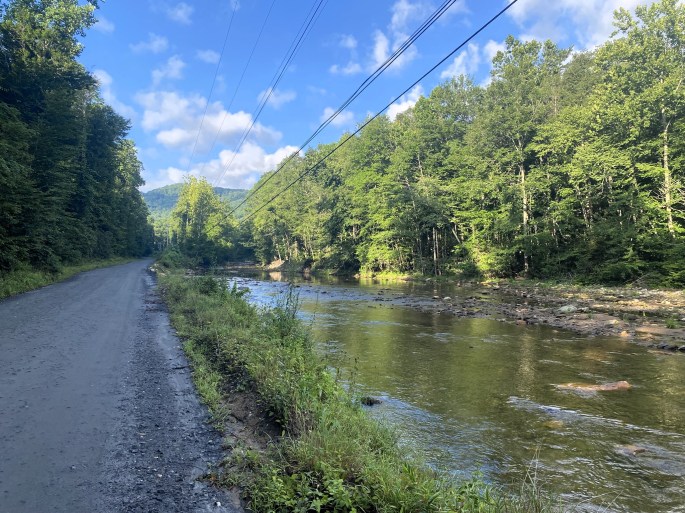
After a very fast two miles downhill on NC-80, the route turns onto South Toe River Road and begins a very gradual uphill.
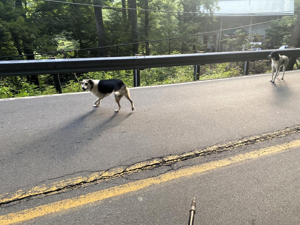
And oh, joy, I had forgotten about THIS type of road hazard—loose, yapping, chasing dogs.
Where’s the bear mace when you need it!
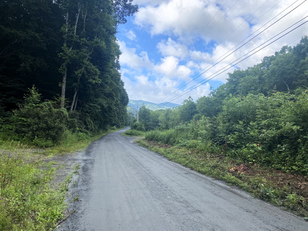
It was much more peaceful when the asphalt gave way to gravel road.
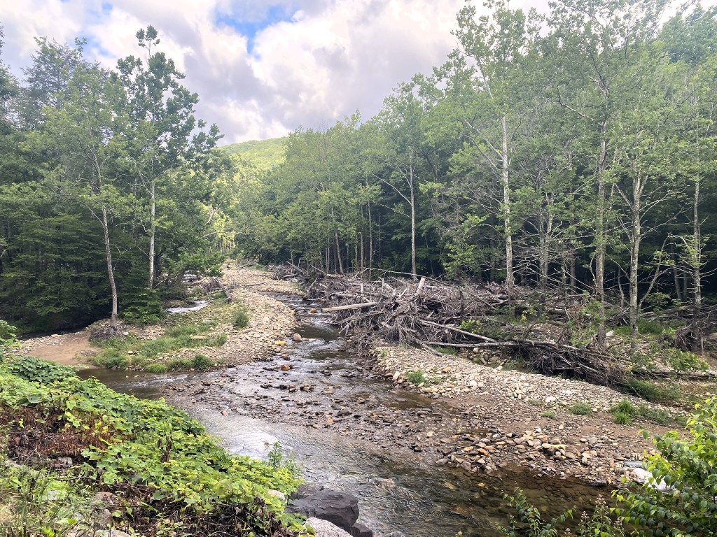
Evidence of Hurricane Helene in the South Toe River. The popular Black Mountain Campground is still under re-construction, but the nearby golf course has been permanently abandoned–slowly reverting to some excellent birding habitat!
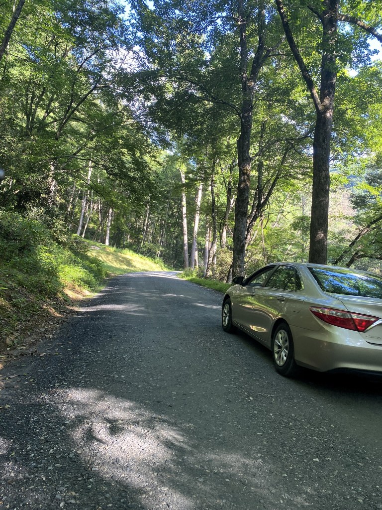
The husband-shuttle was still leapfrogging me. We both stopped for Acadian Flycatchers!
I was at the endpoint before 9am (!). Road-hiking is so fast!
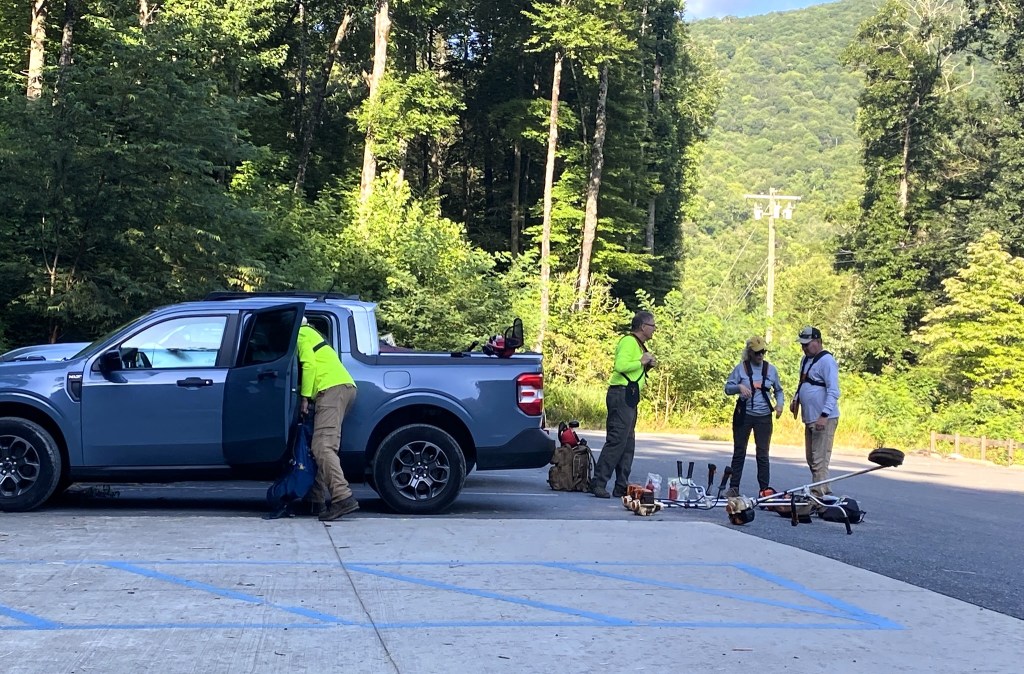
A trail crew was getting ready to put in some hard-working hours.
Since we had a lot of day left, we drove up to Roan Mountain near the Tennessee border.
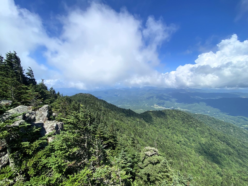
We hiked the Cloudland Trail to the overlook, had a picnic lunch, and found a few higher-elevation birds.
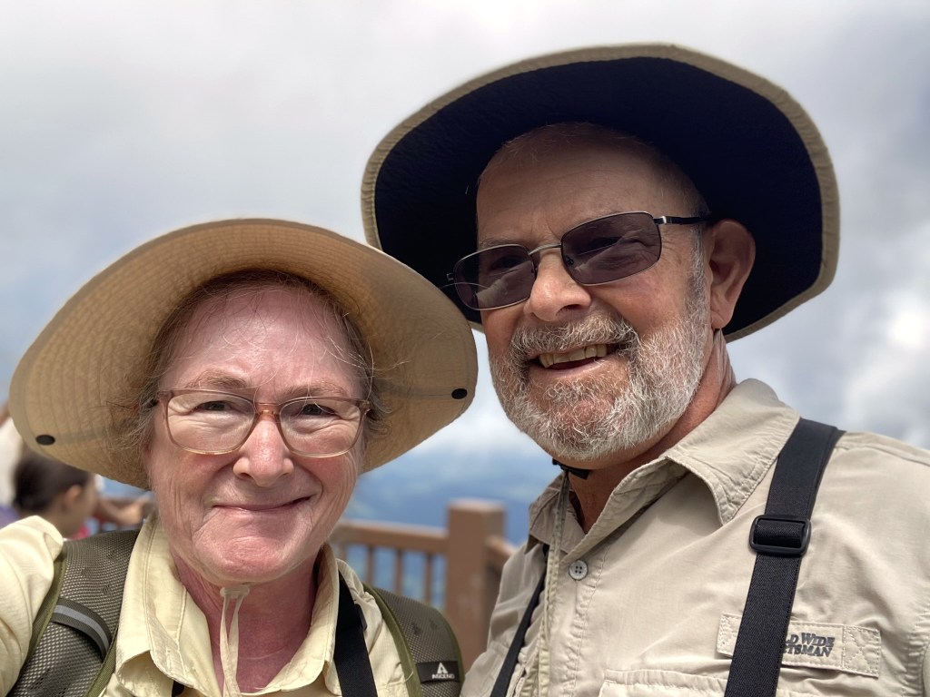
Yesterday was our 46th wedding anniversary, and this was a splendid way to celebrate!
