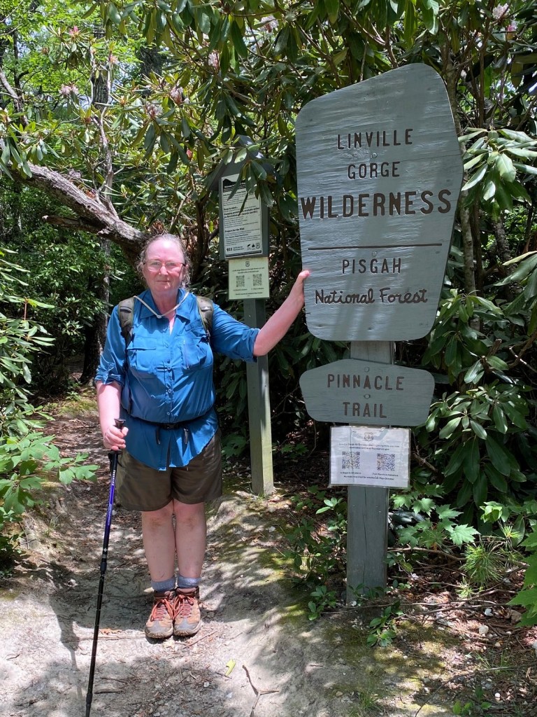
Table Rock Road to the Pinnacle, westbound
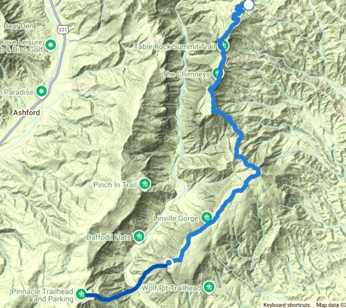
June 24, 2026. The MST guide said the road to the Table Rock parking area was closed, so I had to add an additional 1.5 miles to what was already going to be a strenuous hike, so it ended up being an ambitious 12.2 miles.
That doesn’t sound like that much, does it, but not all miles are created equal!
We had driven up to the Jonas Ridge area the day before, doing some splendid birding in Lincoln County.
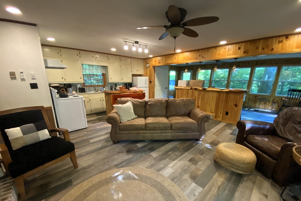
The “Laurel Thicket Cottage” was a 5-star Airbnb, for sure.
It was only 20 minutes via the husband-shuttle to my trailhead on Table Rock Road.
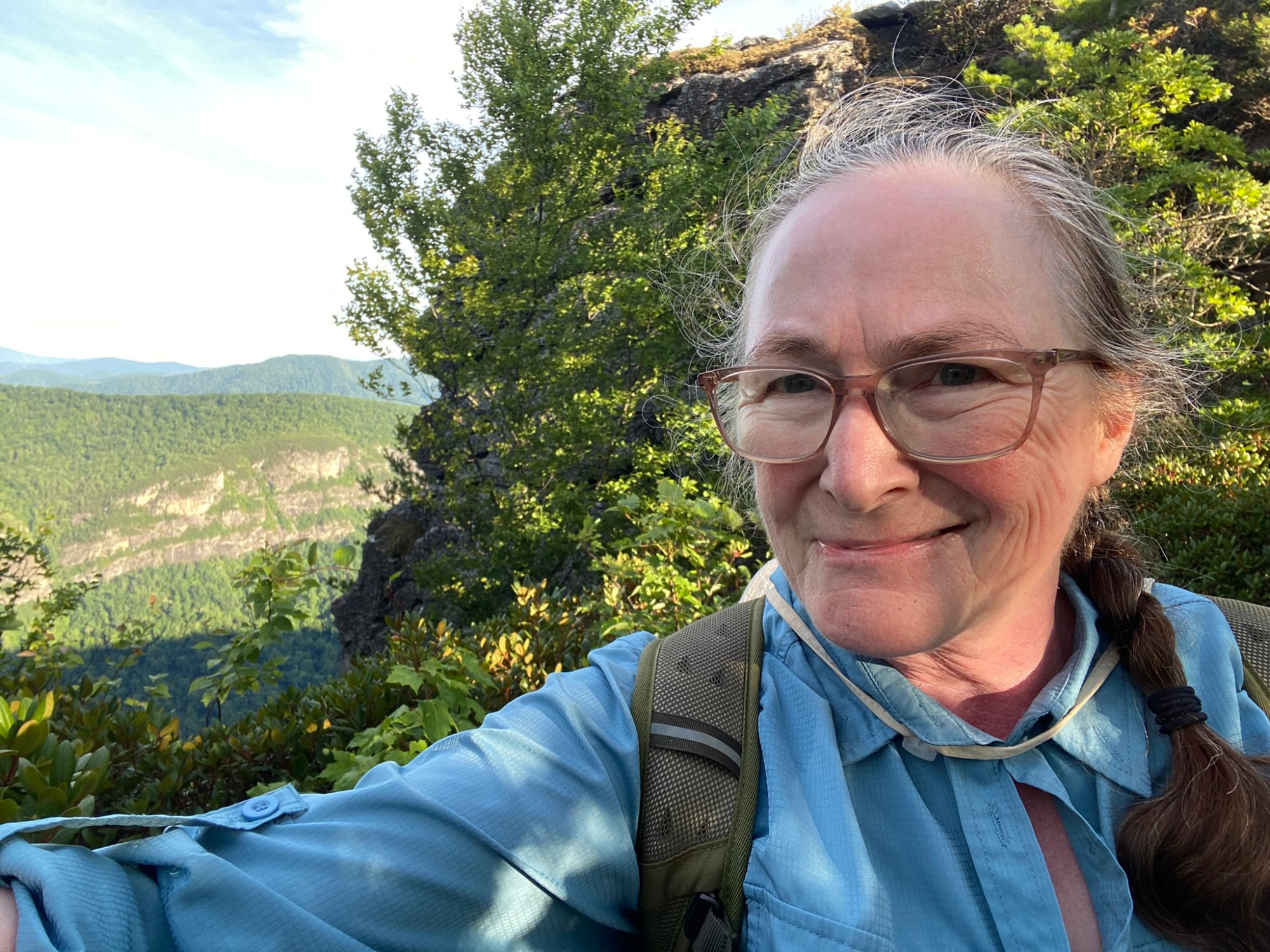
Up Up Up gets your heart pumping first thing in the morning (6am).

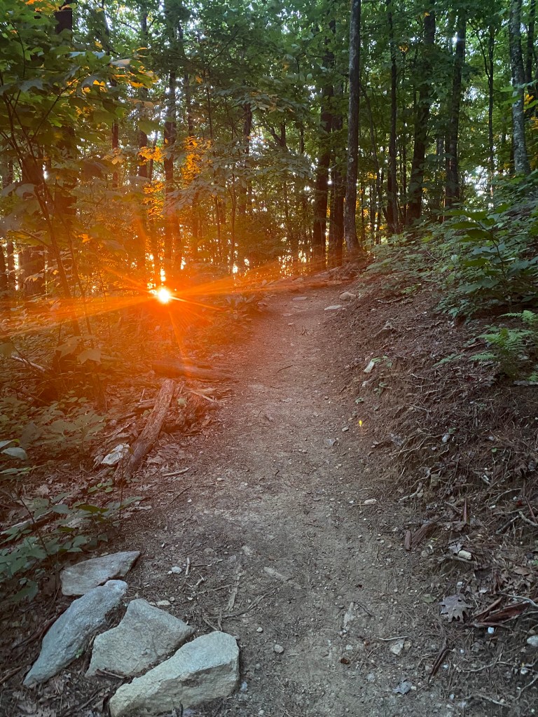
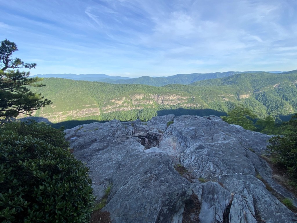
There’s the sunrise!
The first view of the day, but this would soon be surpassed!
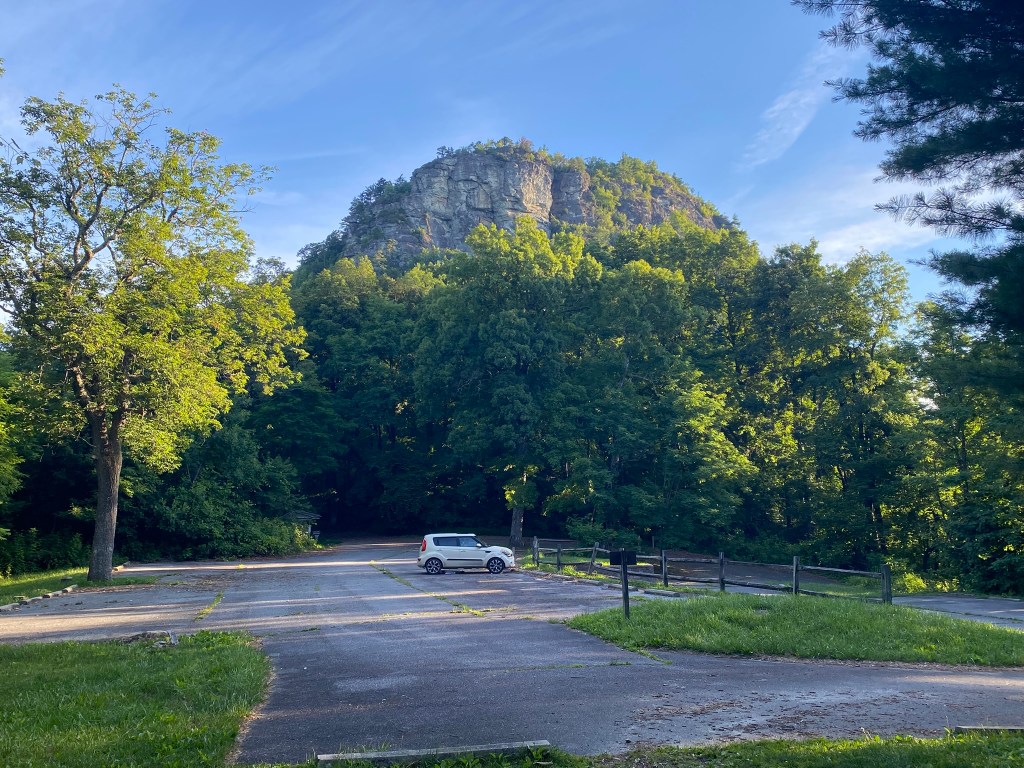
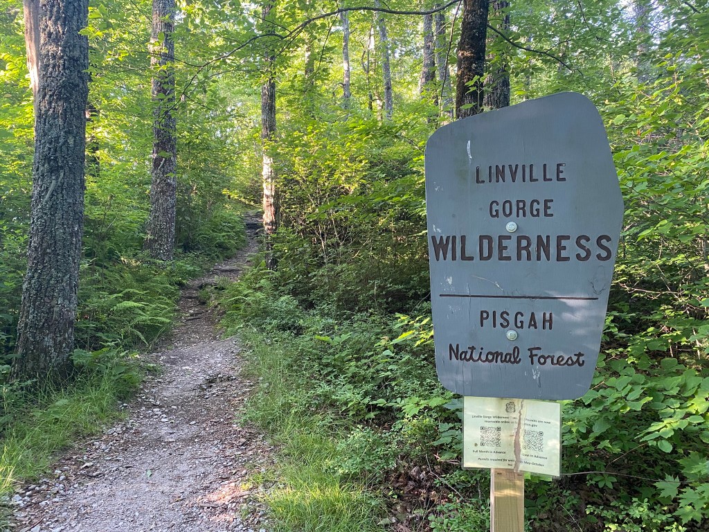
And what is that I see in the parking area?!?!
I guess the road was NOT closed, and this could have been my starting place. Oh, well. That means tomorrow’s hike will be a little shorter.
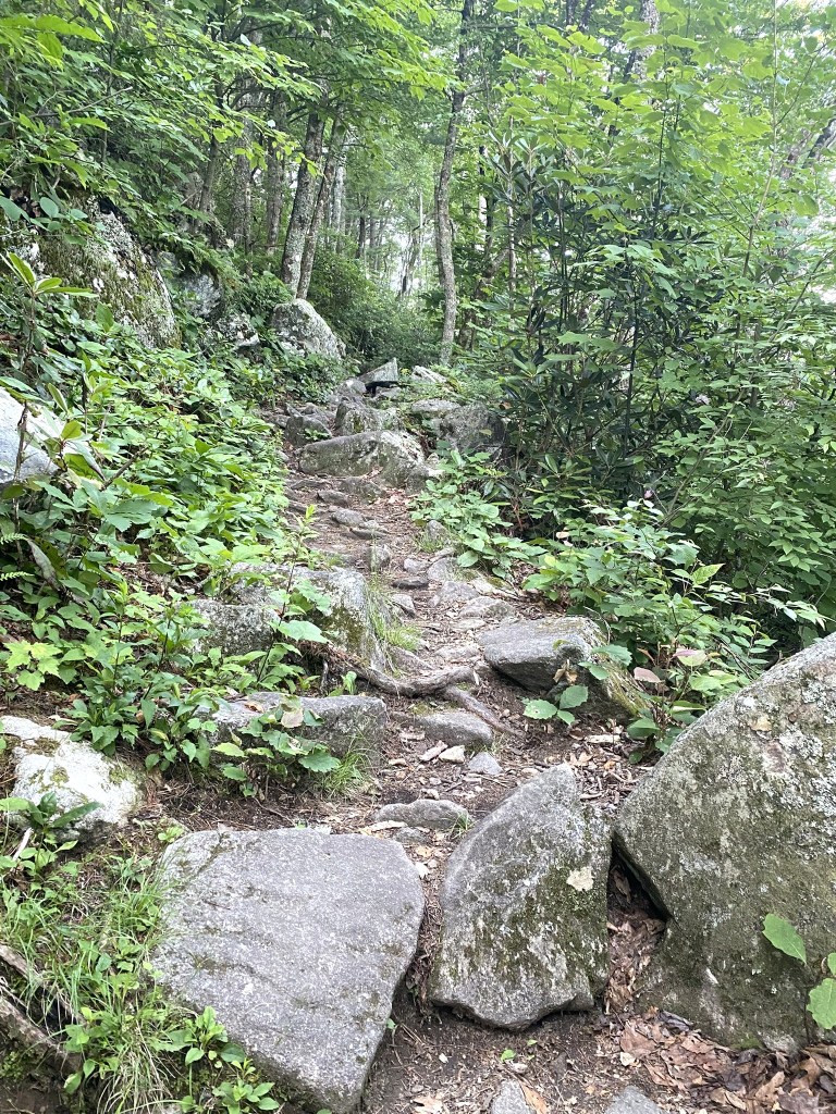
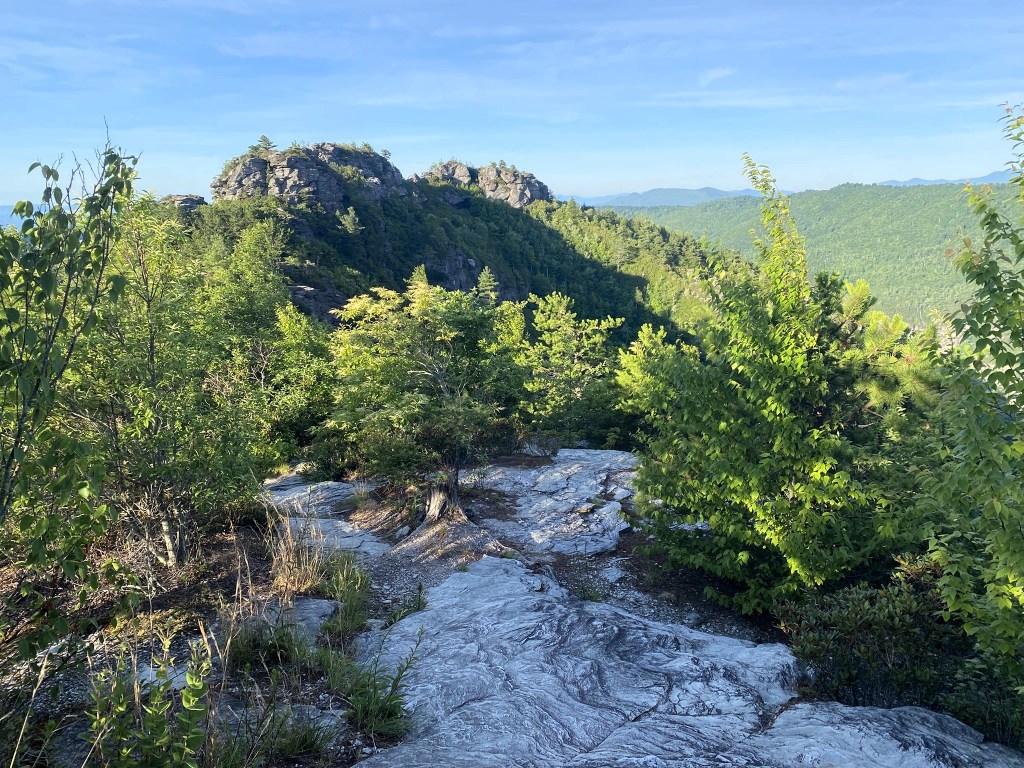
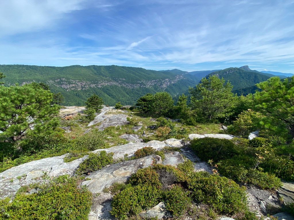
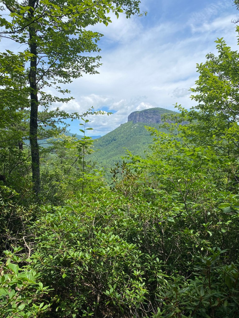
Soon the views were simply stunning, as I headed on the ridgeline through an area called The Chimneys.
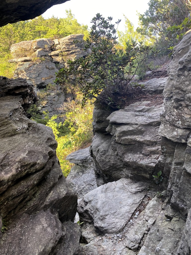
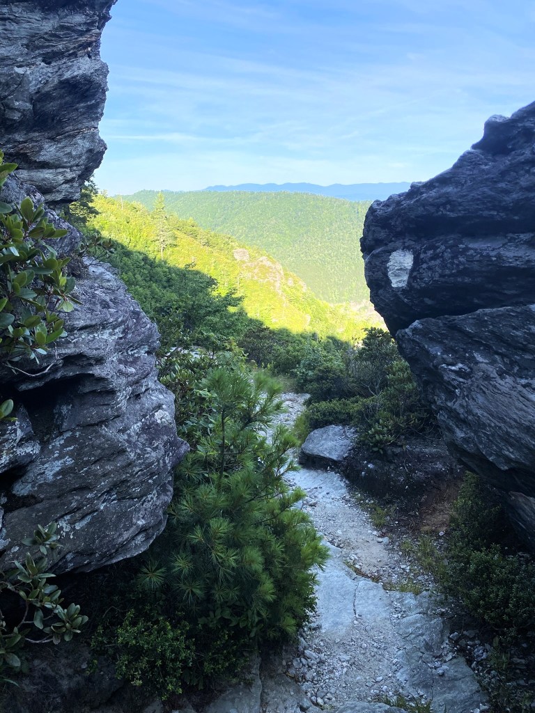
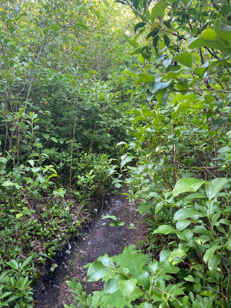
My arms and legs were pretty scratched up by the end of the hike, from the stickery brush.
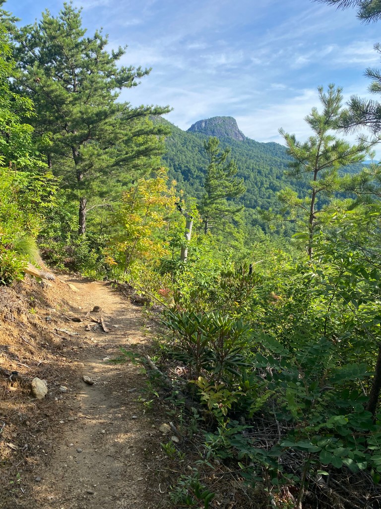
Looking back, a final view of Table Rock.
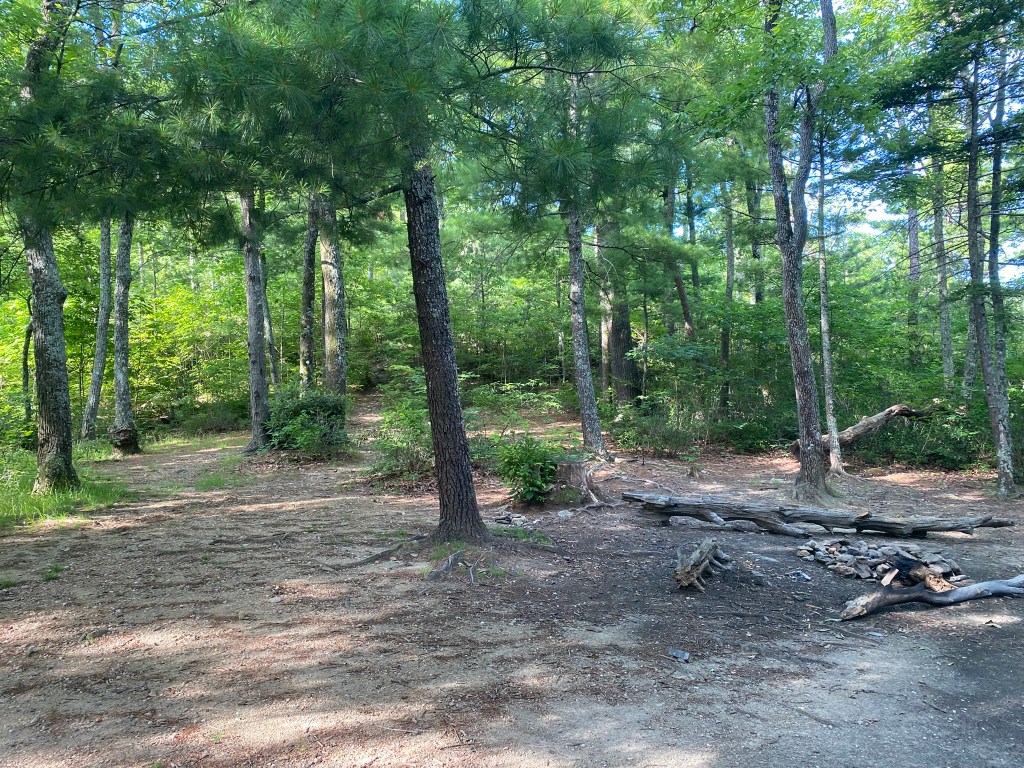
There were lots of camping areas on the long ridge, but no water.
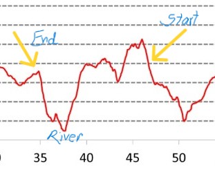
This rocky outcrop marked the beginning of a 4.5 mile descent to the Linville River.
A rare mountain bog, but there was no standing water visible.

Looking down into the Linville Gorge, my knees get the willies. I stay pretty far back from the actual cliff-edges.
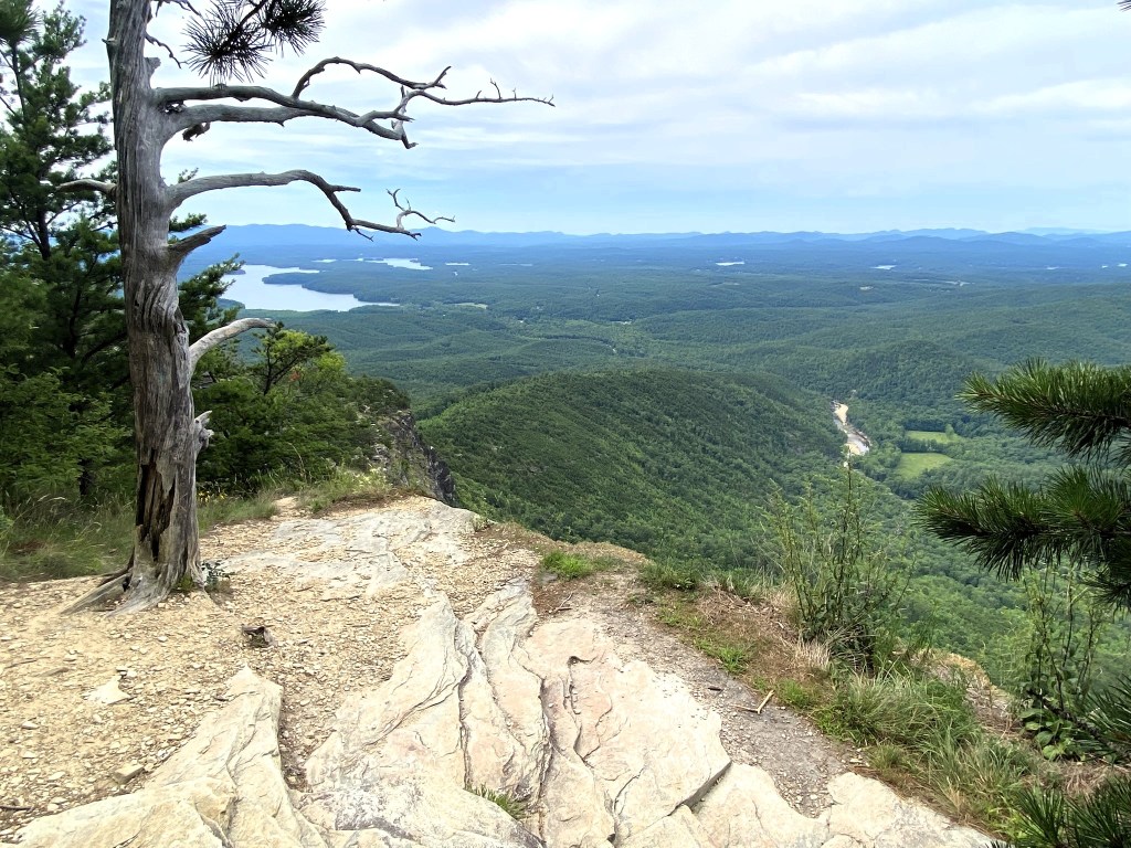
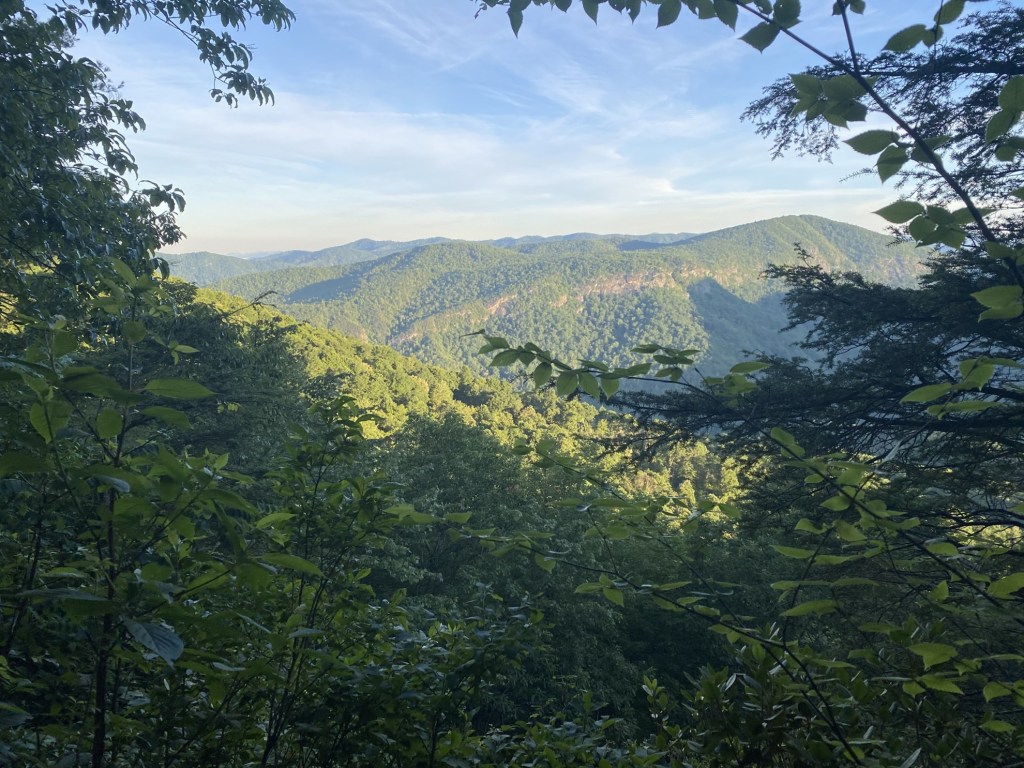
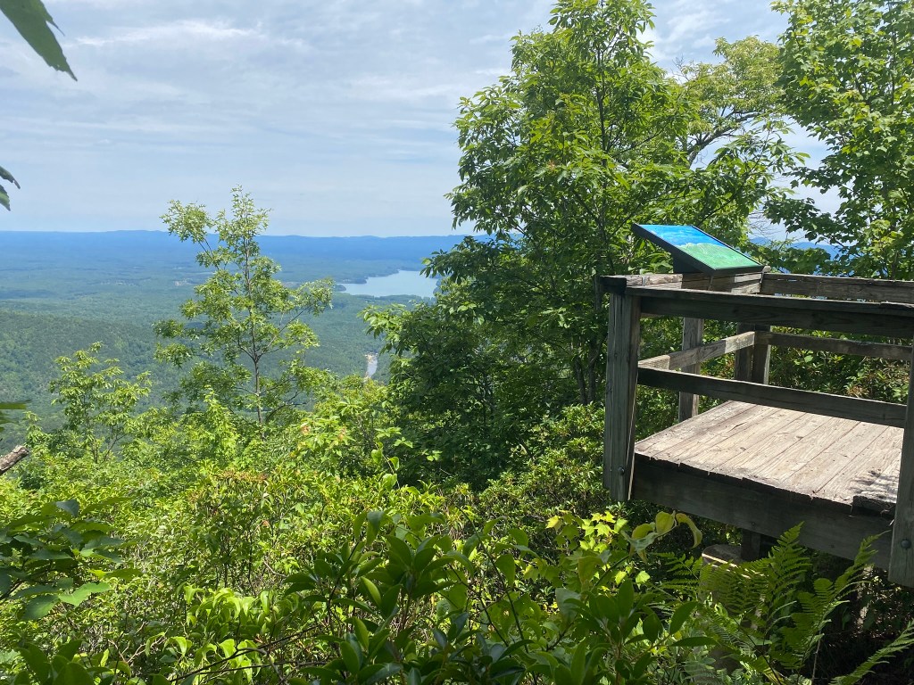
The view south to Lake James.
Here the route takes a turn and heads directly downhill to the Linville River.
The photo flattens out the terrain, but the trail heads straight downhill. Very unsubtle!
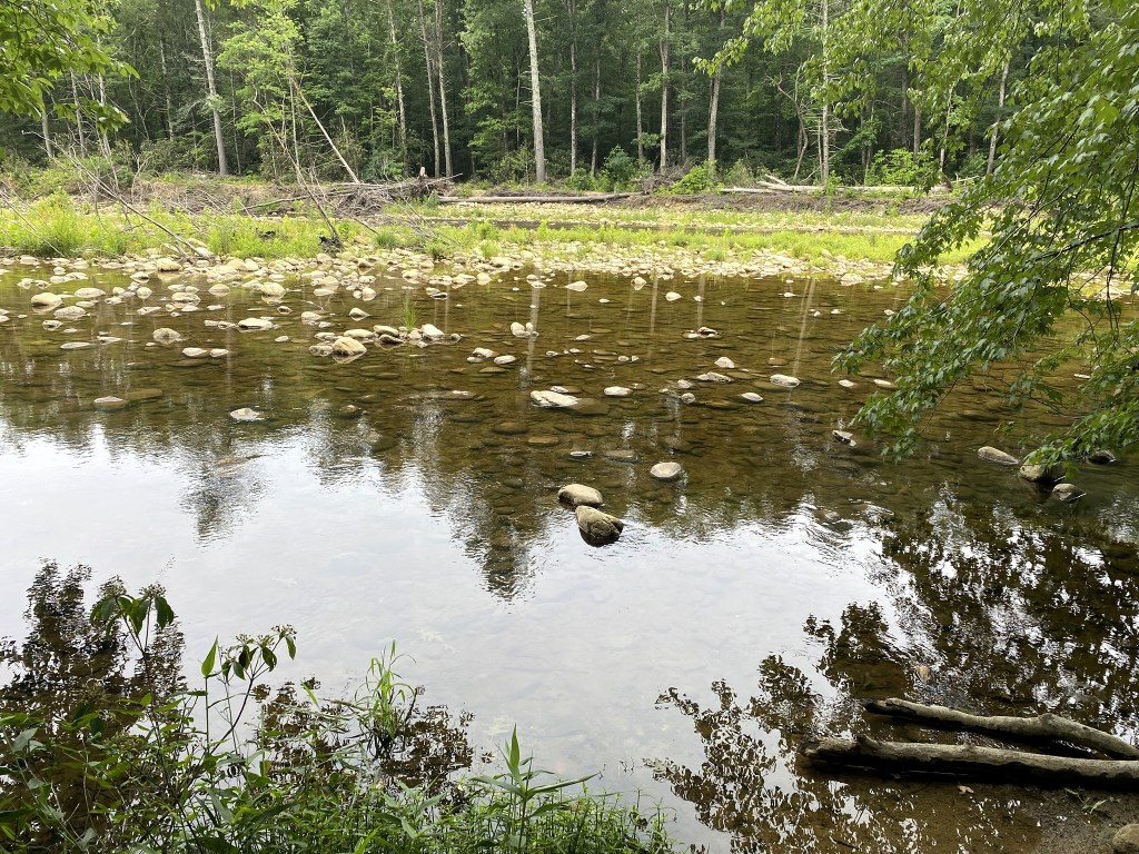
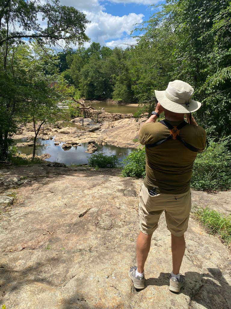
And there she was, the Linville River. Two segments: a shallow, slow-moving piece, and then a faster, deeper section.

The MST trail guide provides a link to a river gauge, so you can judge the safety of your crossing. As it turned out, I chose a day when there was a spike in the depth, but it was still below what is considered dangerous.
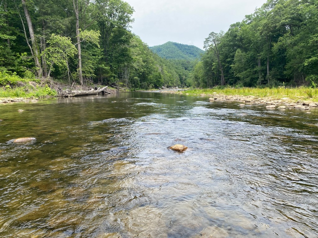
Mid-current. I was up to my thighs a couple of places, but mostly it was knee-deep. (Maybe I didn’t choose the best crossing place–it’s hard to judge from the shore.) The rocks were slippery, and I definitely took my time for each step.
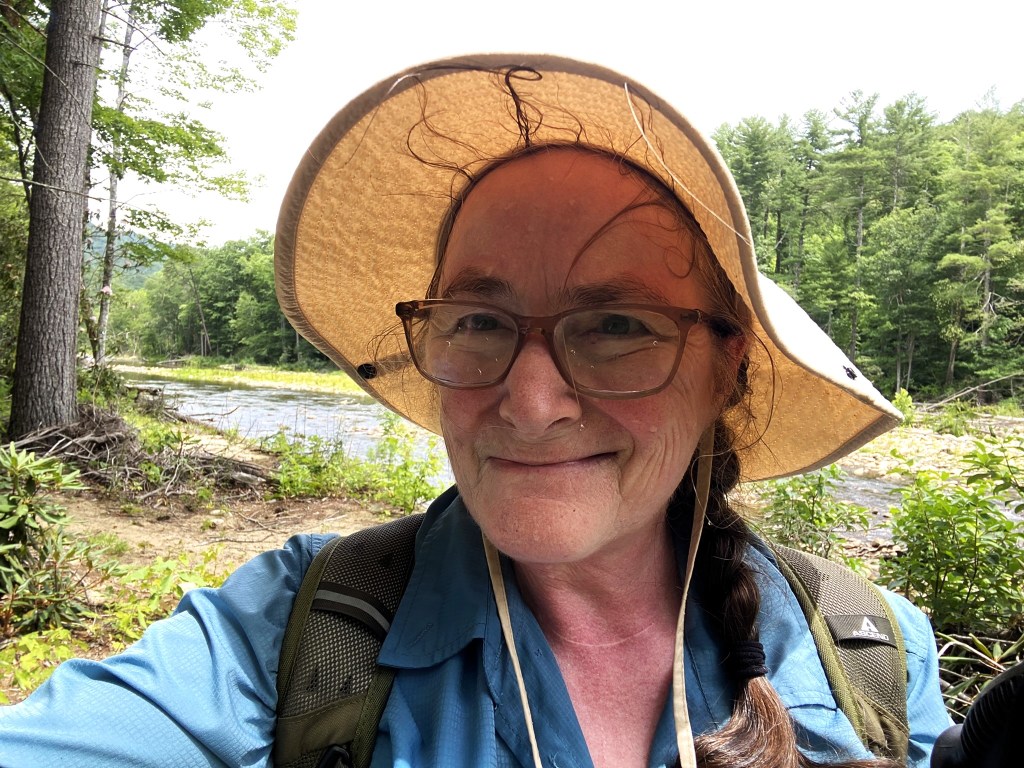
Once across, I rested, then dunked my hat and enjoyed the cooling effect. I also filled up all my empty water bottles with river-water, and I continued to pour water over myself as I began the ascent to the Pinnacle.
It was more humid than I expected, and I was struggling with overheating. The water-dousings really helped!
I figured it would be about a one-mile-per-hour pace up to The Pinnacle, and I was correct.
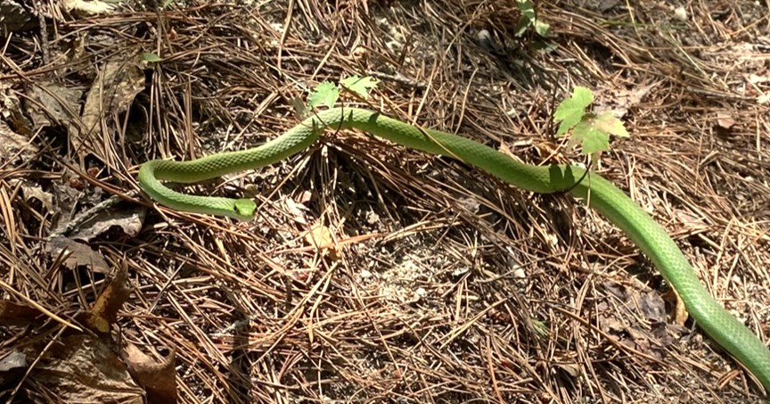
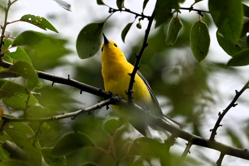
Although I was snake-bit once, I never actually SAW that snake. I think this pretty (and non-venomous) Smooth Green Snake is the only one I’ve seen in a thousand miles of MST.
It was quite a joy to finally reach the observation platform on The Pinnacle.
At the car, but I haven’t quite found my happy-smile yet. Very tired!
105 miles to go!
