Big Witch Overlook to Mingus Mill Trailhead, 8.8 miles westbound
Fork Ridge Trailhead to Kuwohi, 3.9 miles westbound, plus 4 miles back to the car
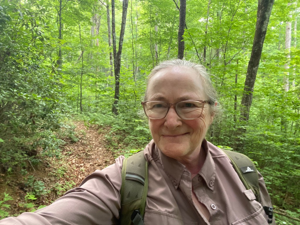
June 16, 2026. This was an ambitious day of hiking—-17 miles—-but I had booked an extra night in my Airbnb in Cherokee for this very reason, so I could complete a long hiking day and have a nearby place to recover before driving home.
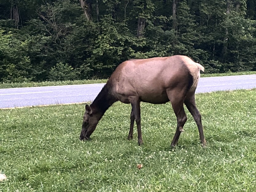
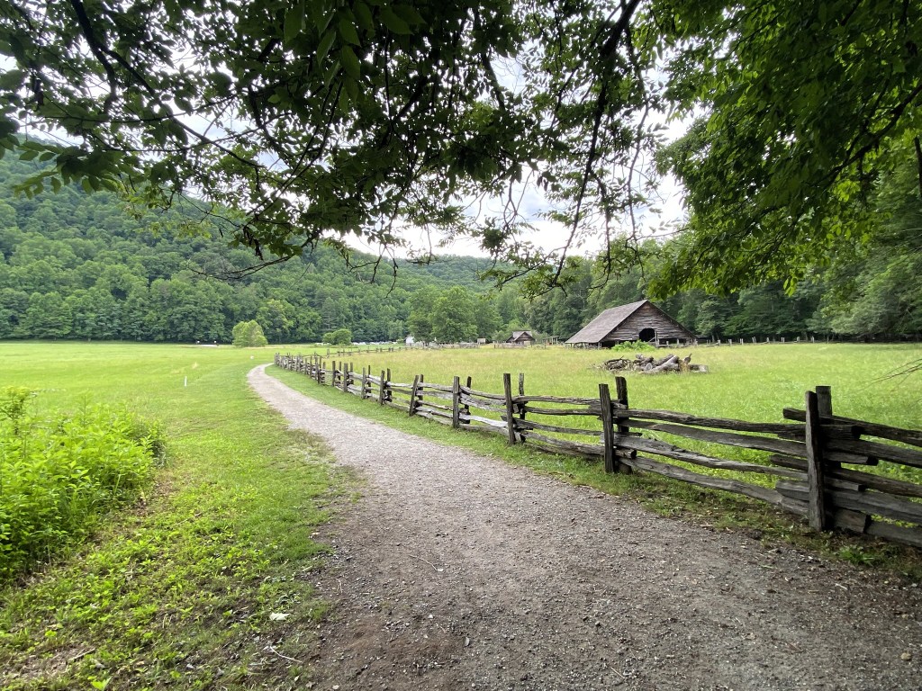
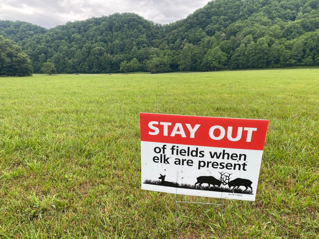
In the early morning, elk are usually in the meadow as you enter the Great Smoky Mountains NP.
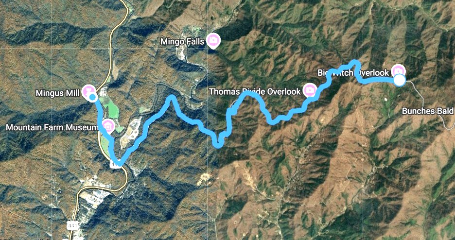
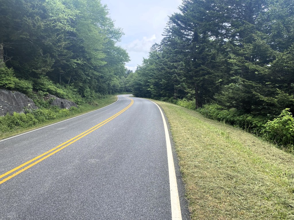
My Cherokee Cab-shuttle picked me up at Mingus Mill and dropped me off up on the Blue Ridge Parkway at Big Witch Overlook. It was pretty much a road walk back to the car, about 9 miles of it.
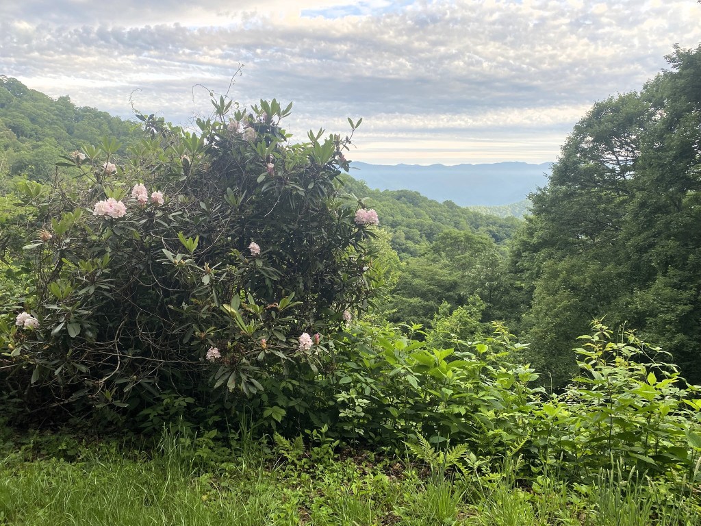
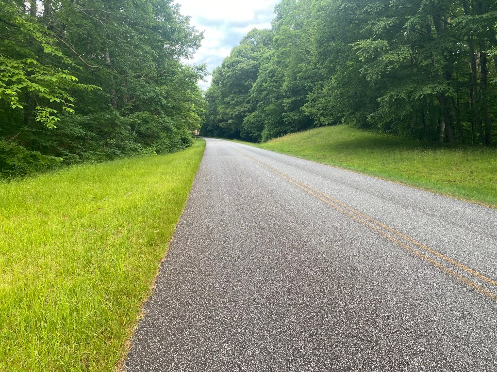
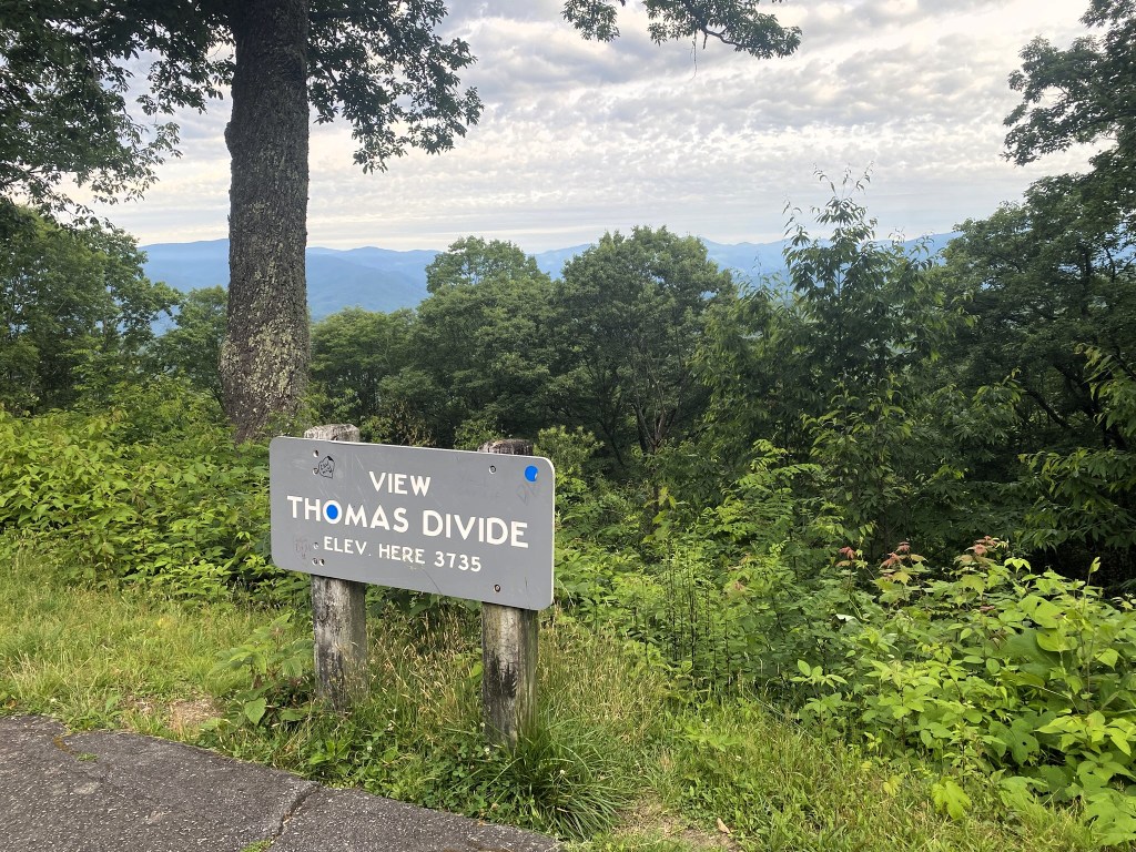
But there wasn’t much traffic at 7am, and the views were splendid.
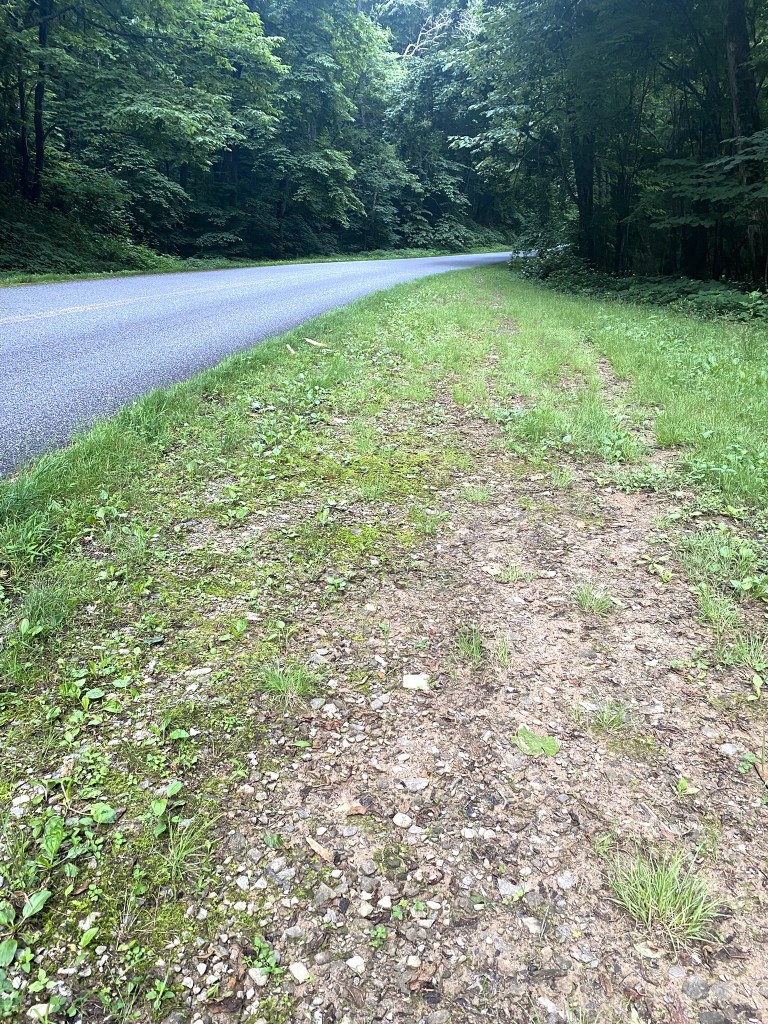
If the shoulder permitted, I walked off-road, but mostly it was just pounding the asphalt. The upside is that you can go pretty quickly—-I was on a 3mph pace and finished this hike in 3 hours.
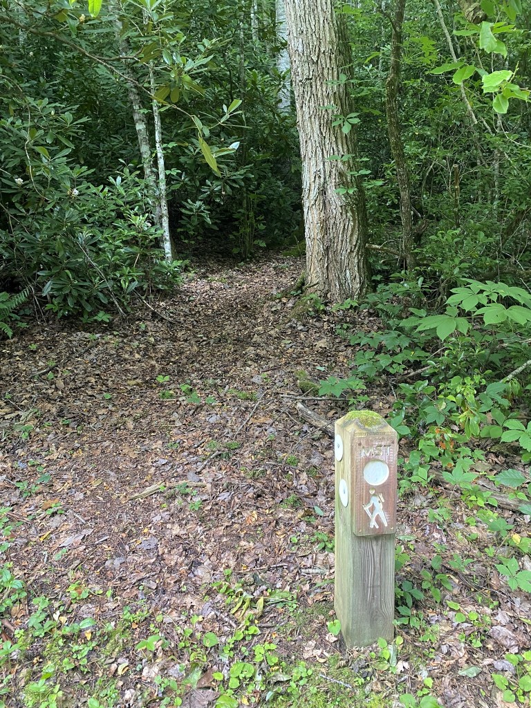
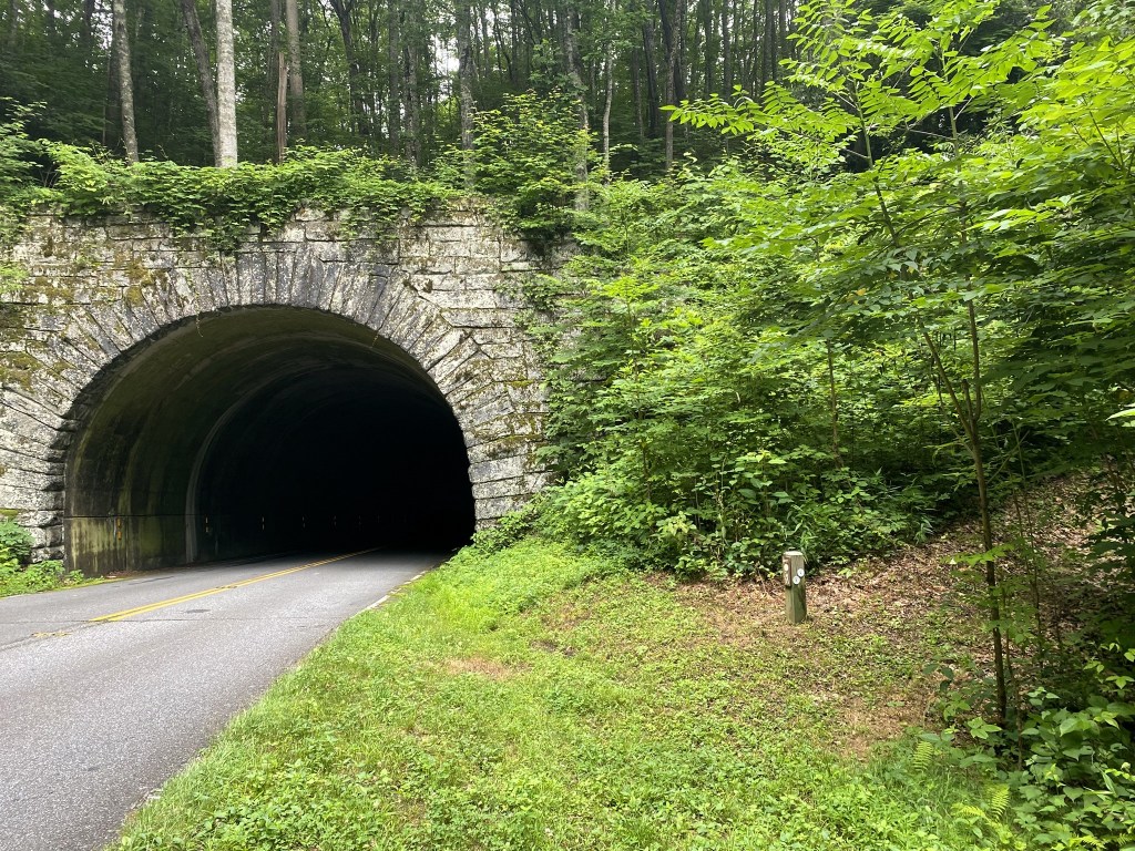
There were two short segments of trail in order to avoid walking through the tunnels, which is illegal (and potentially dangerous).
I didn’t mind the detours. I was more than happy to have a break from the asphalt!
One more tunnel bypass.
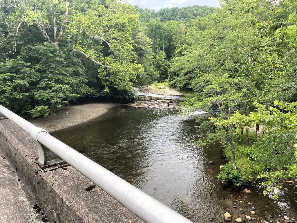
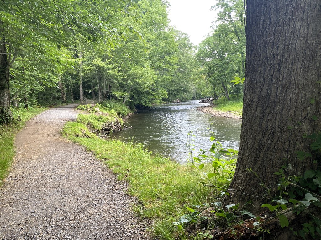
Finished with the Parkway, crossing the Oconaluftee River
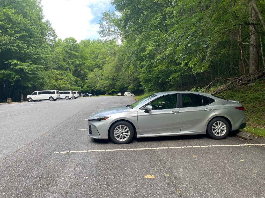
I was back at the car at 10am!
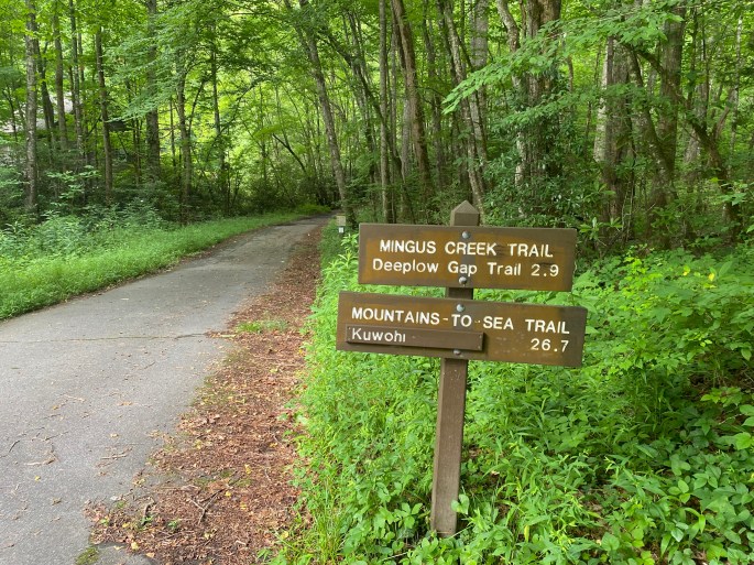
Then it was a 40-minute drive up, up, up to the Kuwohi parking lot.
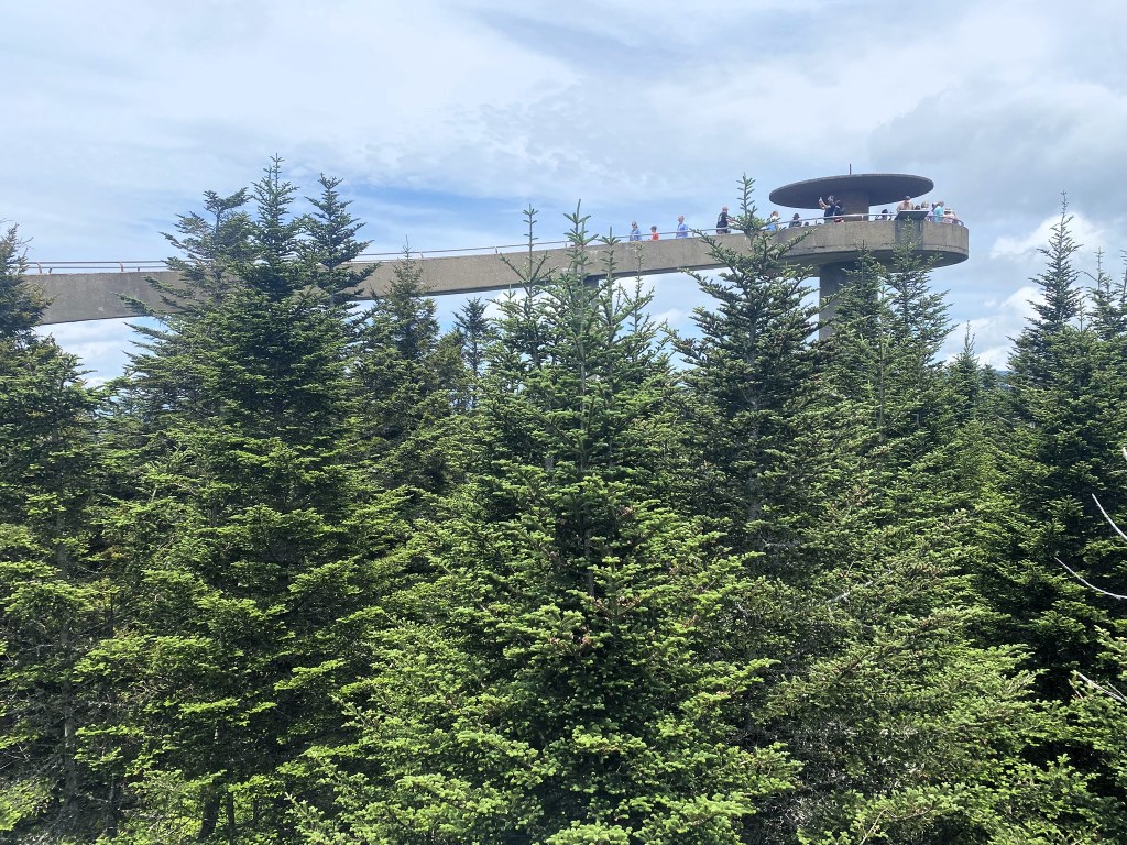
And that parking lot was COMPLETELY FULL, so I drove back down to the Fork Ridge Trailhead to do the hike westbound, instead of the elevationally more advantageous eastbound direction.
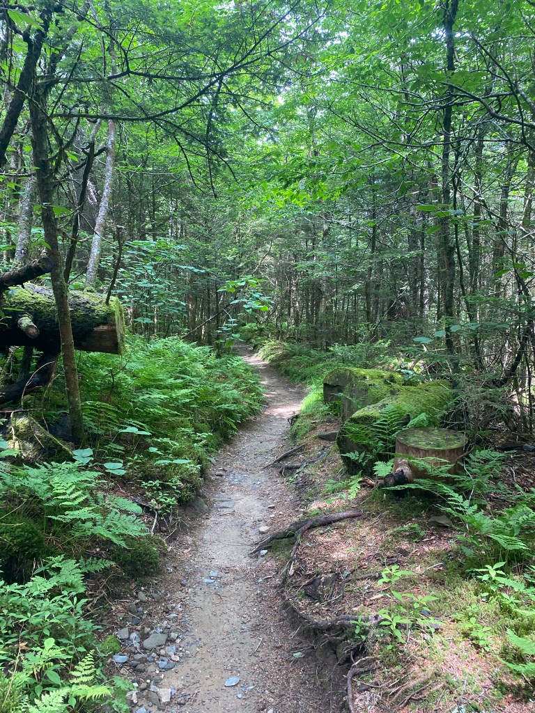
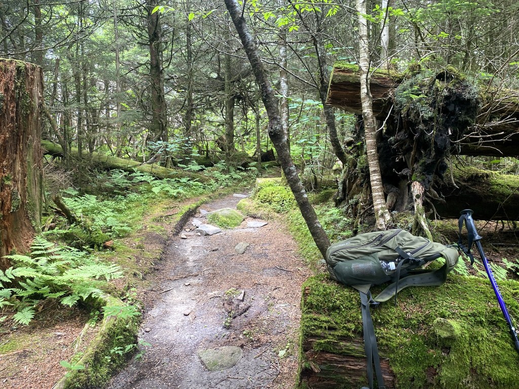
So different than the morning’s ROAD walk!
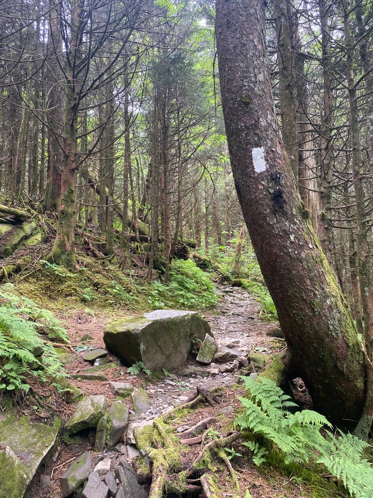
But yes, also more rocky, and therefore a much slower pace.
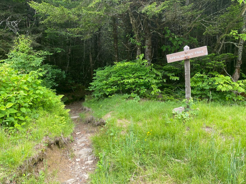
It was fun doing a little bit of the Appalachian Trail!
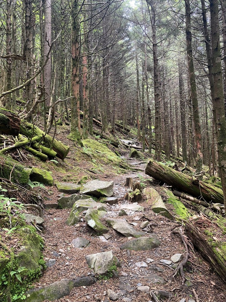
LOTS of uphill…puff puff…sweat, sweat.
In this 4-mile stretch you climb over Mt. Collins (6,188′), then Mt. Love (6,411′), and finally up to Kuwohi (6,643′).
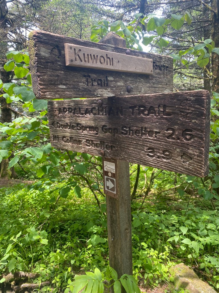
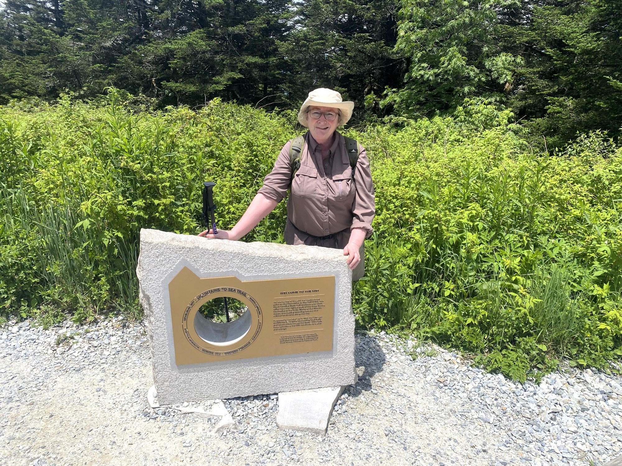
Kuwohi was recently re-designated by its Cherokee name (from “Clingman’s Dome”), so you can see the signs reflecting that change.
Kuwohi is North Carolina’s third highest mountain.
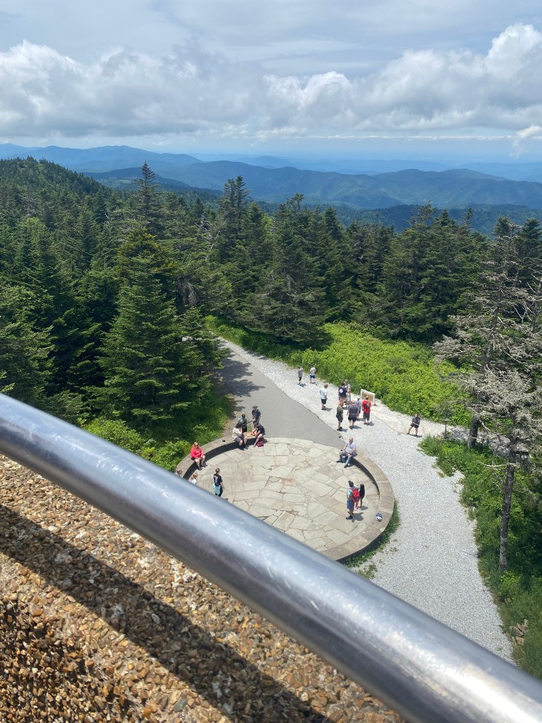
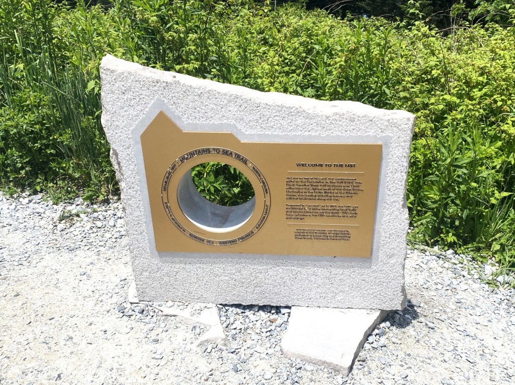
This is the official western terminus of the MST, but of course, not MY official ending point. I still have over 100 miles left, scattered in 1, 2, 3, 4, and 9.
As I walked through the congested Kuwohi parking lot, I asked six different people for a ride down the mountain, but they all claimed to not have any room at all in their vehicles.
I must have been super-stinky.
And I have NO IDEA why one of the four miles I had to walk to get to my car was UPHILL.
I spent that time contemplating how I am going to do this 22-mile backpacking section. It has been 50 years since I have backpacked overnight, and never in such a bear-heavy area. I am just not sure if I can manage it.
But I do so want to complete the entire MST.
117 miles to go.
