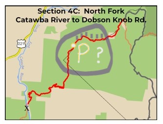
“Improved Parking at the Pinnacle” to Dobson Knob, westbound
May 18, 2026. The husband-shuttle was spending a few days on the coast and out on the briny deep, seeking some new North Carolina birds, so I planned to do three out-and-back hikes in Segment 4.
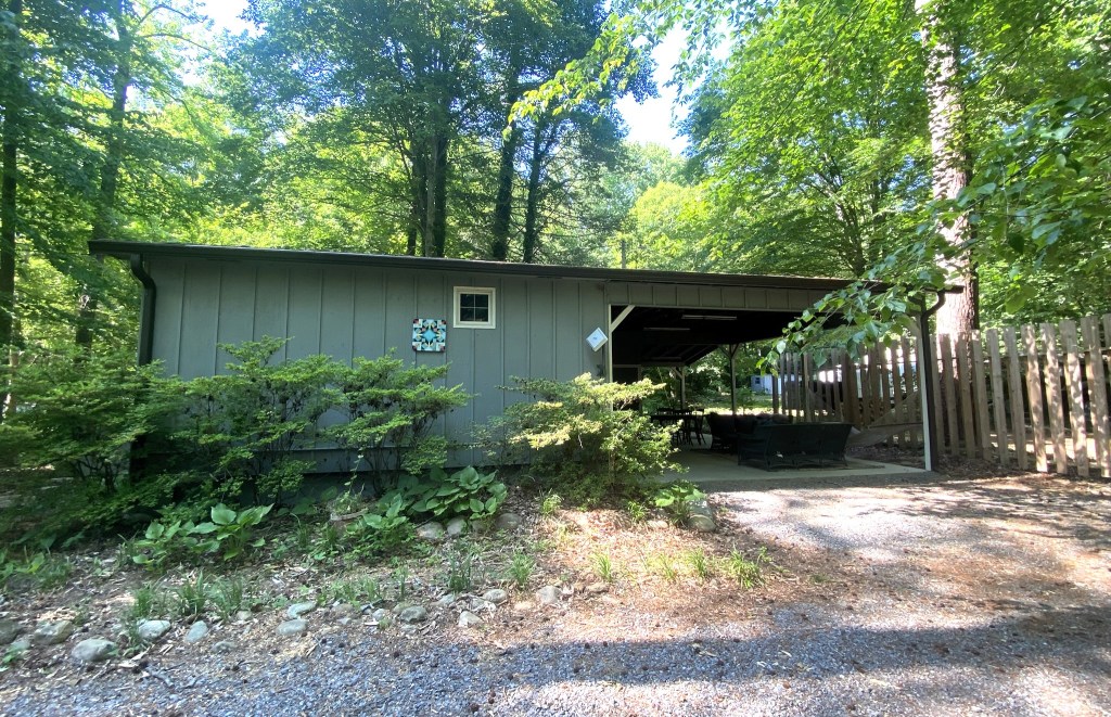
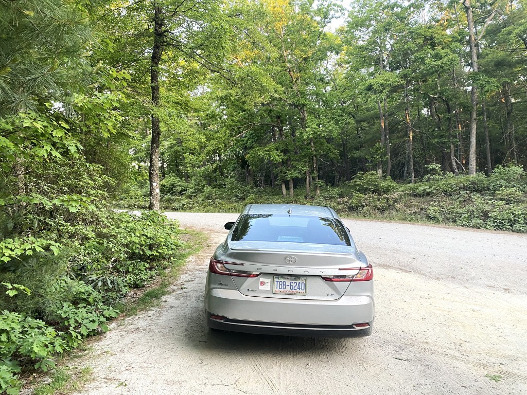
I stayed at this sweet little Airbnb cabin in Nebo.
But although the bed was super-comfortable, I did not sleep well. I was worried about driving up the mountain road in the morning.
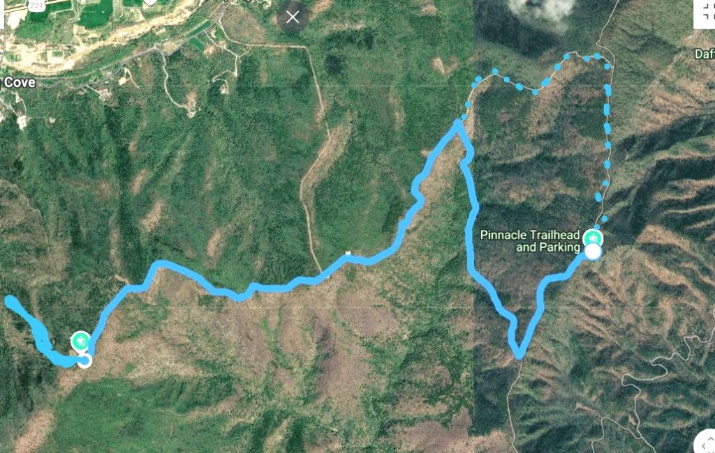
From the Dobson Knob Road Trailhead, it was 5.4 miles down to the uncrossable river….and 5.4 miles back UP UP UP. If I couldn’t drive all the way to the trailhead, then that would mean extra road mileage for a total of almost 15 miles, and that would be beyond my comfort zone, especially being solo deep in the mountains on an unseasonably hot day.
So I decided to do my Day 2 hike first, which was from the Pinnacle Parking area westbound to the Dobson Knob Road Trailhead. I would be able to scope out the road conditions on foot. This was also a 5.4 mile out-and-back section, for a total of 10.8 miles–that I planned. I ended up doing 2 more, for a total of 12.8 miles.
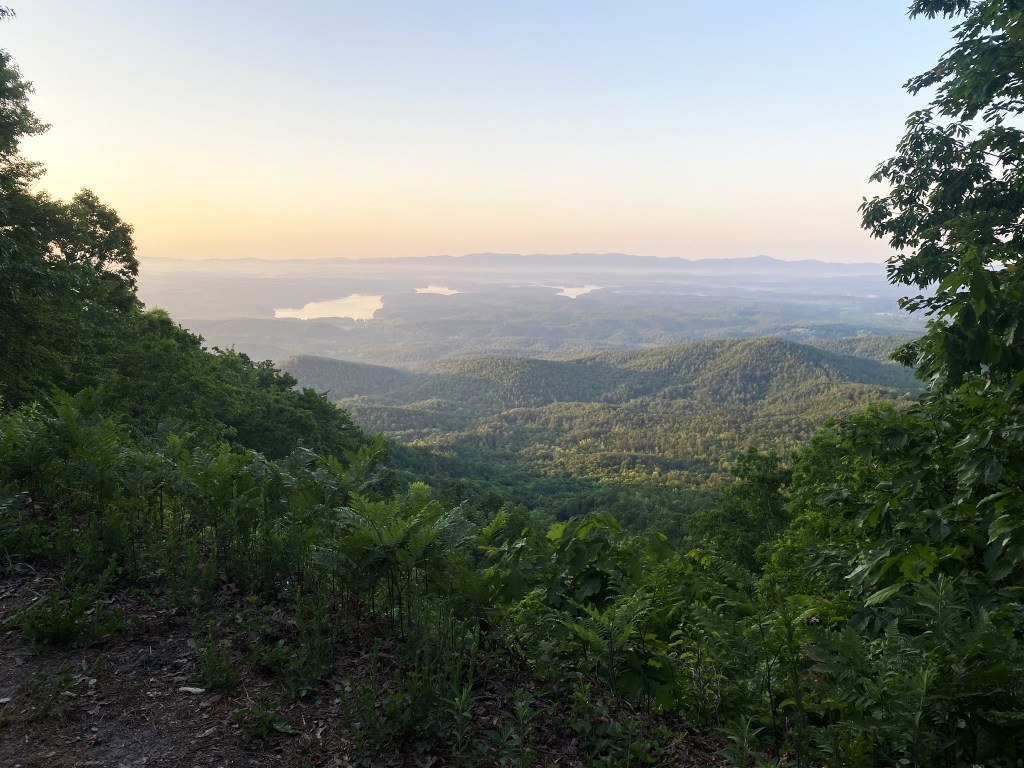
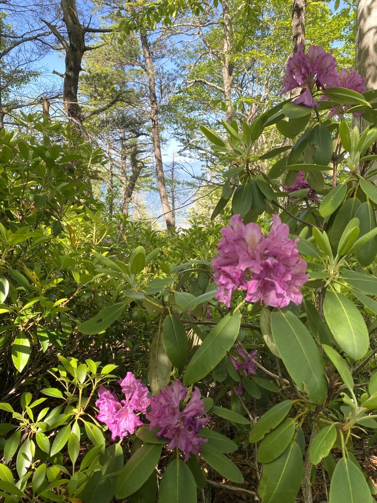
The best view of the day was near the Pinnacle Parking area, looking down at Lake James.
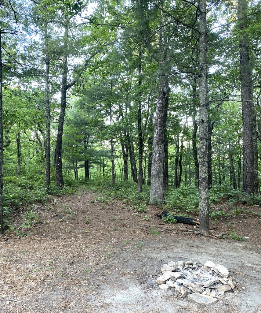
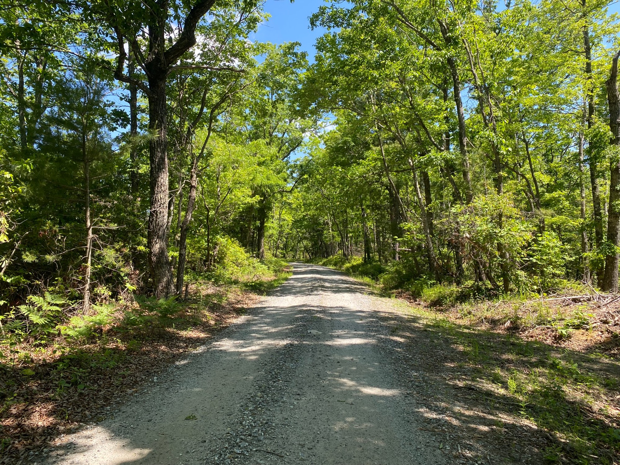
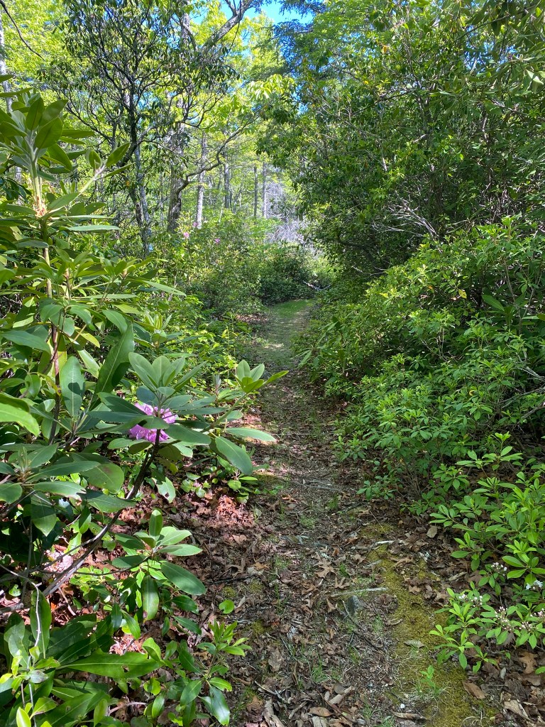
After a mile on the gravel road, the route ducked into the woods.
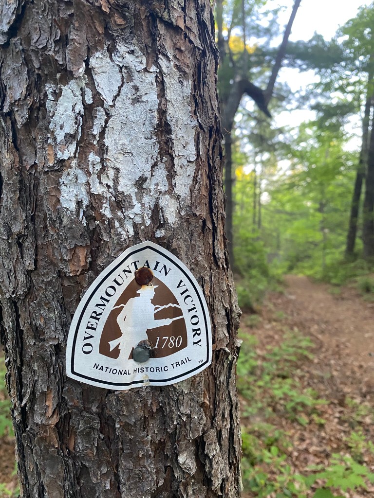
According to the National Park Service, “Stretching 330-miles through four states (Virginia, Tennessee, North and South Carolina) the Overmountain Victory National Historic Trail traces the route used by Patriot militia during the pivotal Kings Mountain campaign of 1780.
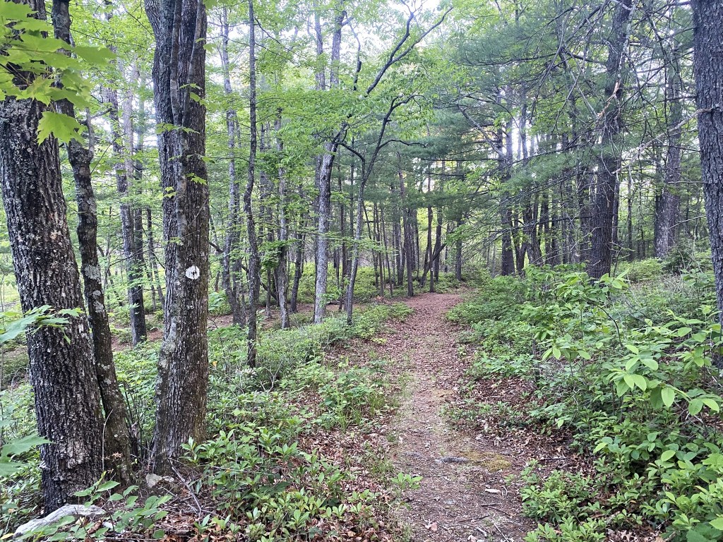
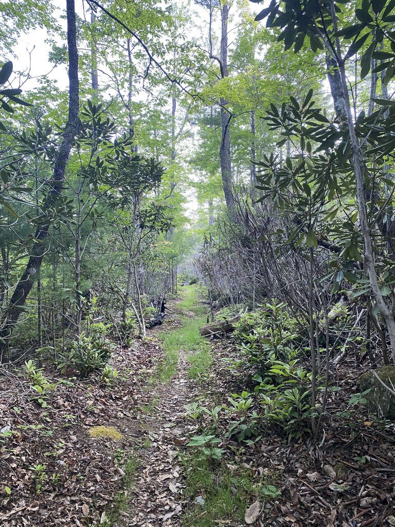
There were 1.5 miles of lovely trail before intersecting FS 106.
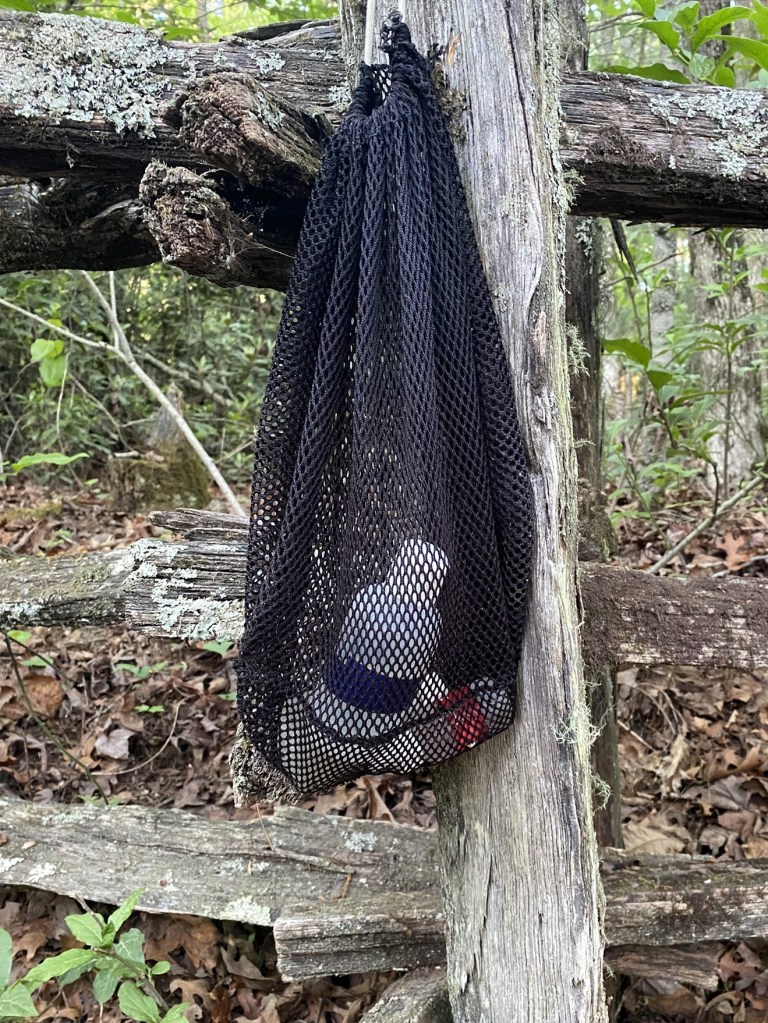
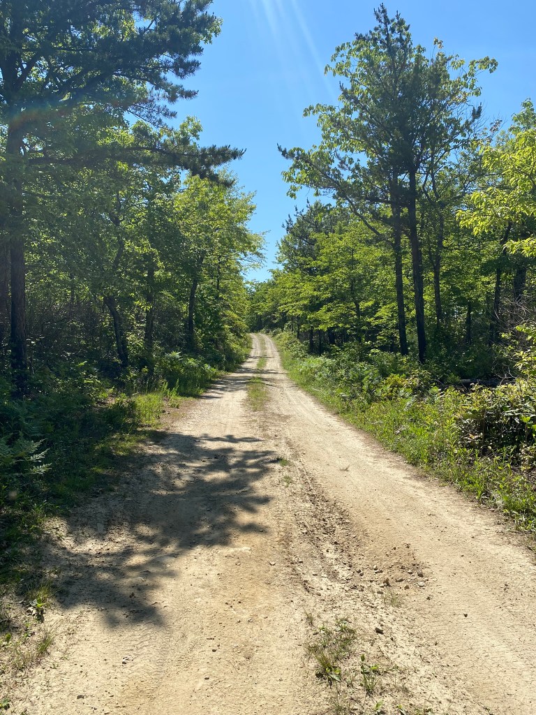
The Overmountain Victory Trail continued westward, but the MST turned left and followed the road. A kind soul had left this nice stash of bug repellant at the junction, and I helped myself to a squeeze.
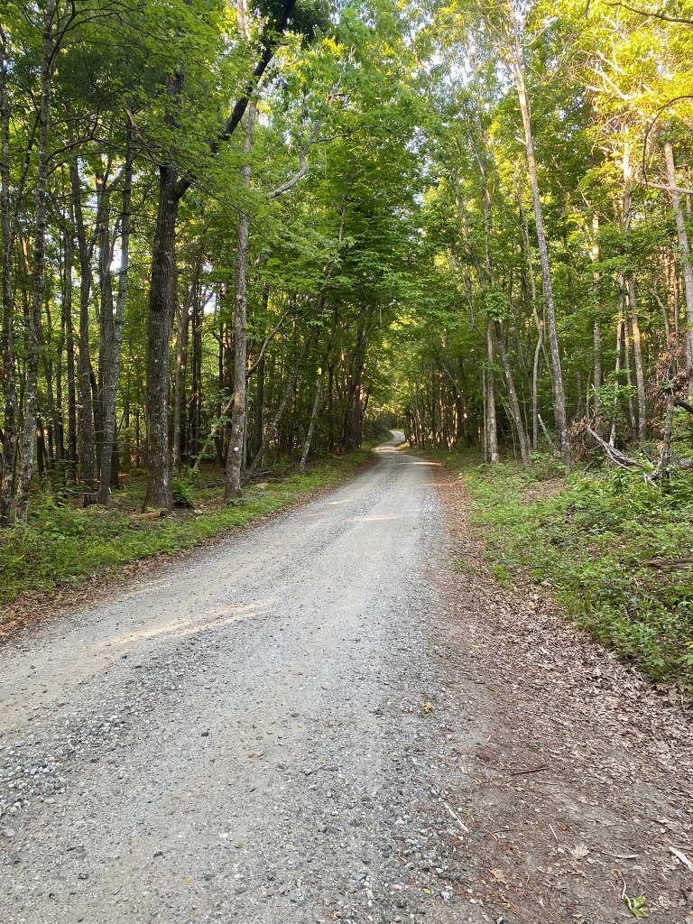
So far, the road seemed perfectly drivable–actually better than the “main” road up to the Pinnacle Parking area, which was incredibly steep in places, with some severe ruts and washboard areas.
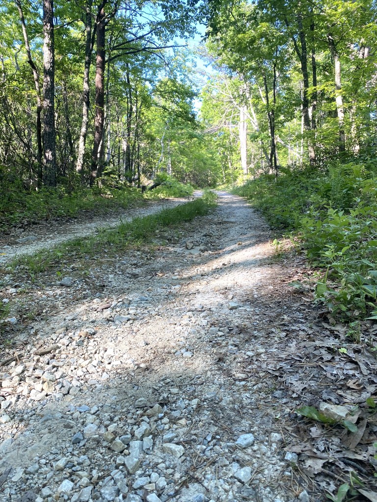
BUT then I reached the “seasonal gate” and beyond that you absolutely needed a 4-wheel drive. So now I knew I could not drive to the Dobson Knob Trailhead tomorrow.
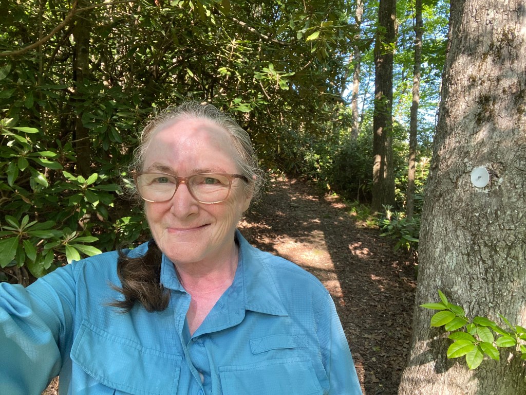
Here I am, at the Dobson Knob Trailhead, my original turnaround point, thinking through the options. These mountain roads have gotten me a little spooked–the DRIVING, not the hiking! The next ten miles of the MST are optional at this time, because of the uncrossable river. [The pedestrian bridge was destroyed during Hurricane Helene.]
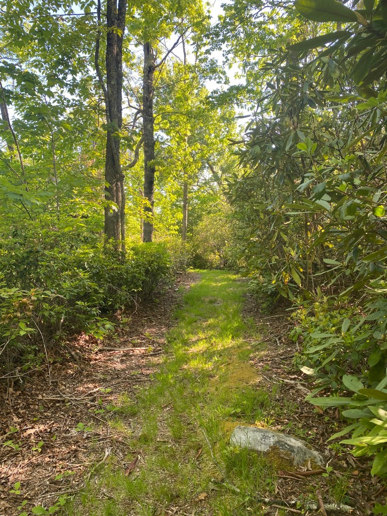
Since it was only 9am, I decided I would continue on up the trail to the top of Dobson Knob, and turn around there.
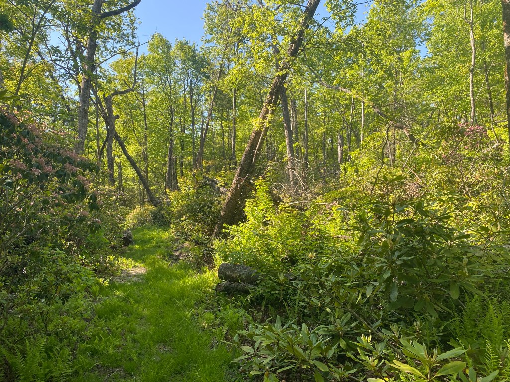
Evidence of Hurricane Helene
I took a good rest at the top. It’s only a tantalizing four miles from here down to the river….but then it would be a very long climb back up, and the heat of the day had already set in. So I turned around here.
The Mountaineer guidance that I learned growing up in the Pacific Northwest says:
Do not let judgment be swayed by desire when choosing a route or turning back.
That’s good wisdom to follow, especially for a solo hiker on a hot day up in the mountains.
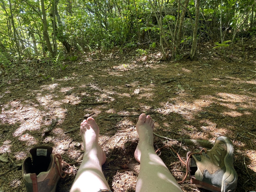
And it WAS a hot hike back to the car. I stayed on the road all the way, rather than cutting back over on the Overland Trail, just to look at something different.
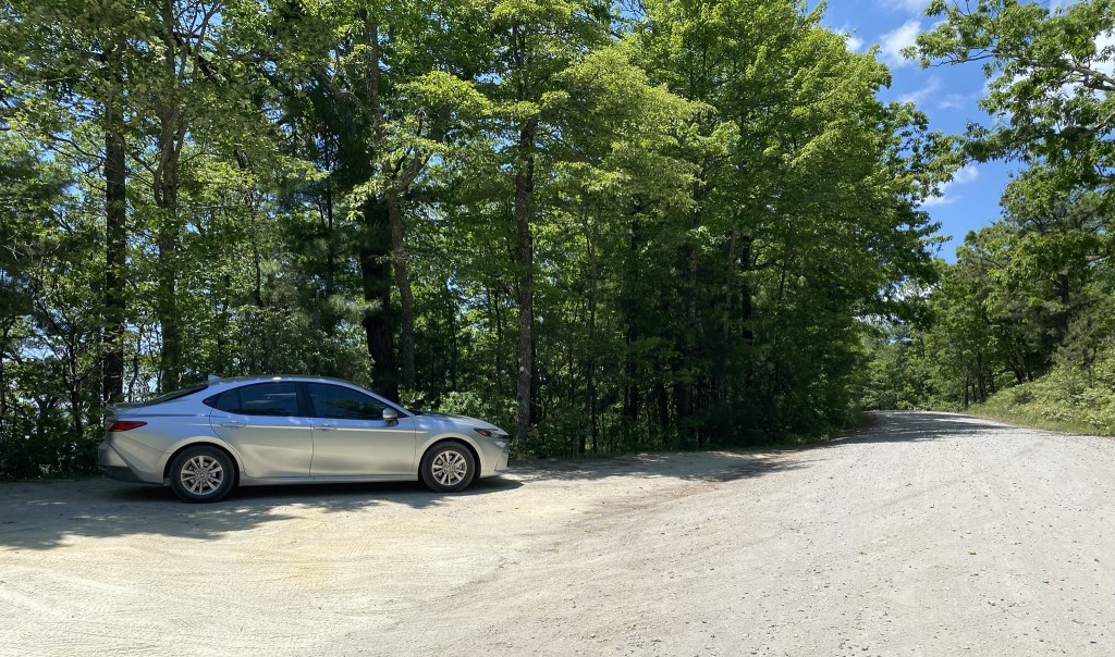
Yay! I had unknowingly parked in a little patch of shade!
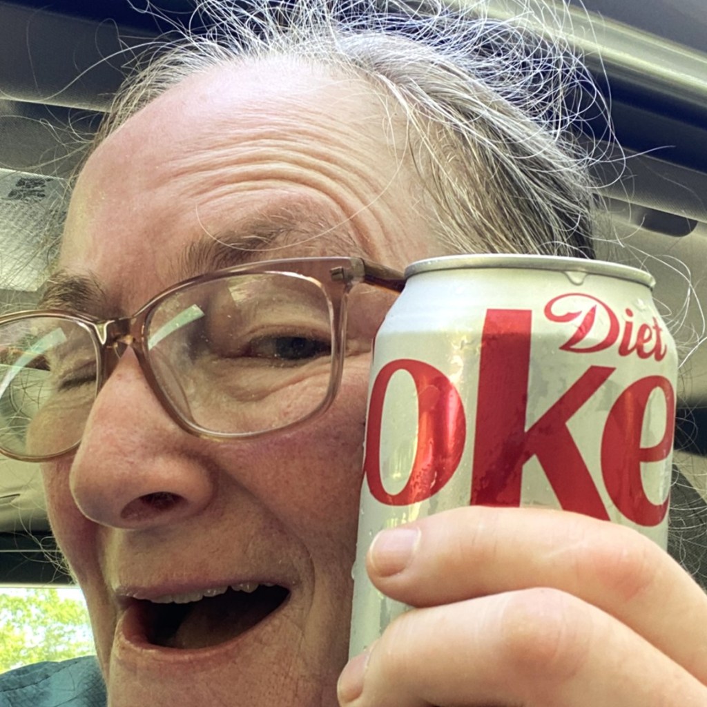
And YAY! for a refreshing drink out of the cooler!

Thanks, Mary.
A good sampling of Helene’s meanness, and reminders, a year later (or more?).
Thank God you could assess the potential car road, before attempting to drive it.
Keep us posted. Even going on a 30 minute walk, around here, from now on, I need to carry water.
Lorraine Boyd Cypress, Tx
>
LikeLike