Shulls Mill Road Trailhead to Beacon Heights, westbound
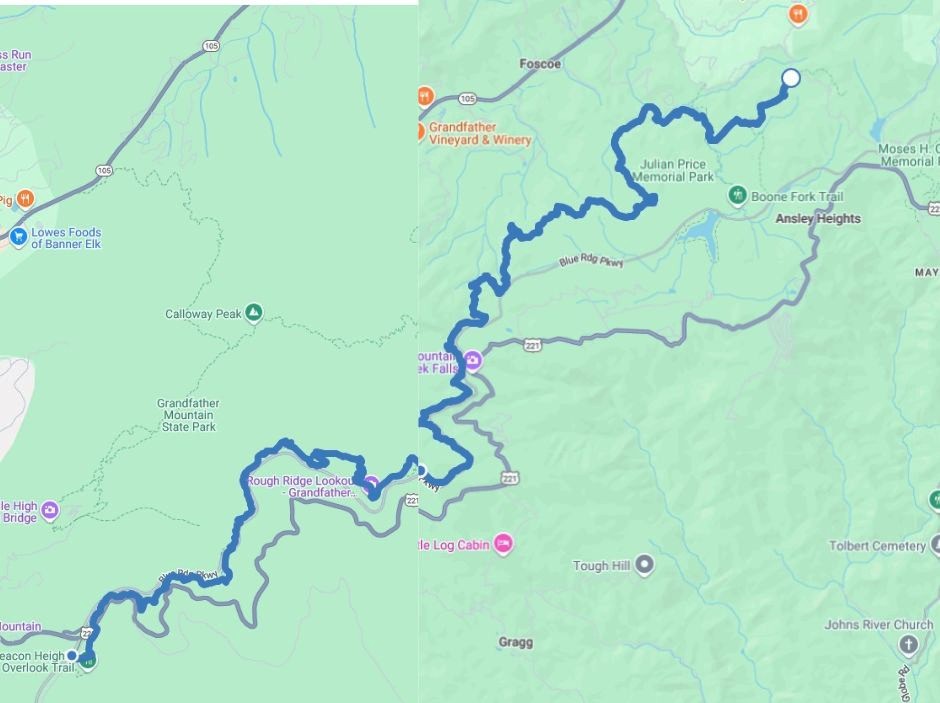
June 4, 2025. Although I knew this hike would be mostly trail (little roadway), I still thought it was reasonable to complete the 15.5 miles in 8 hours. Silly me.
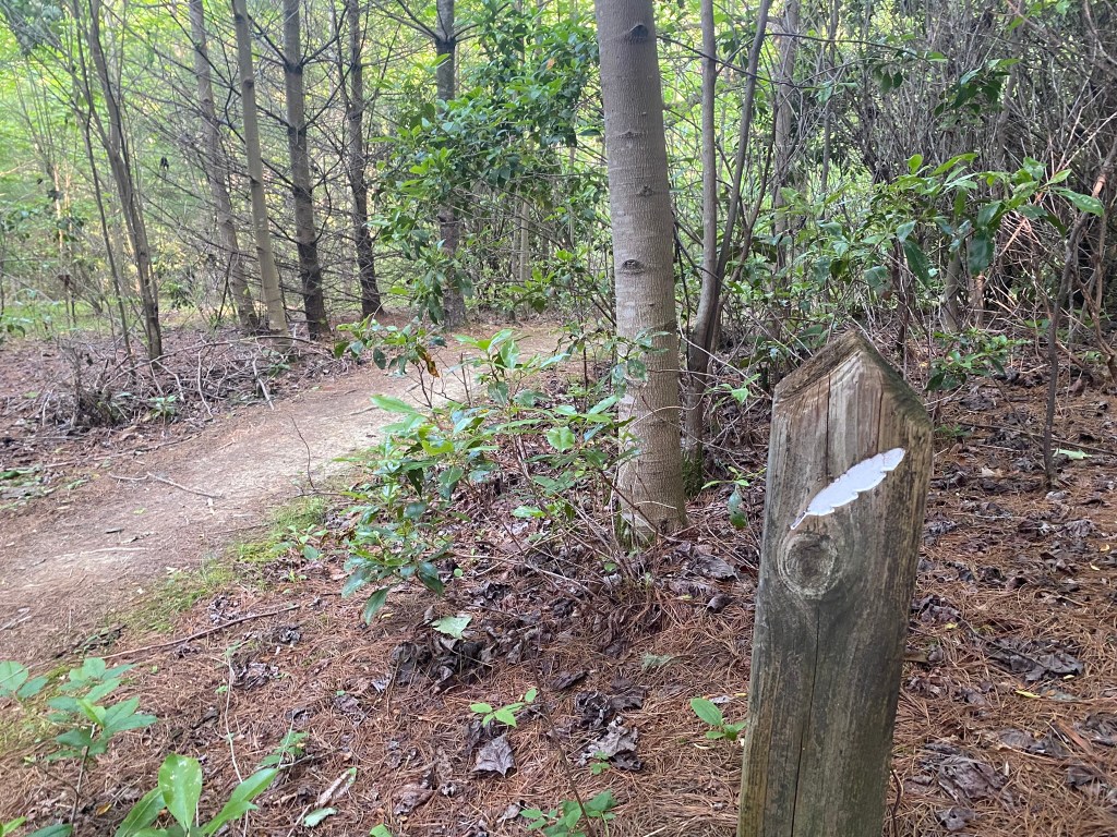
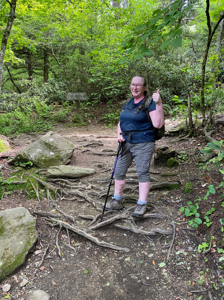
6am start–I couldn’t really begin earlier because the route went into the forest right away and I wanted to have natural light.
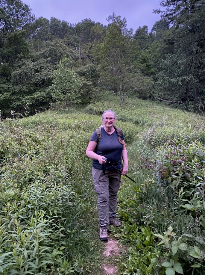
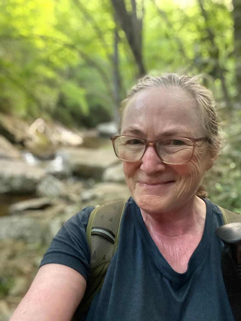
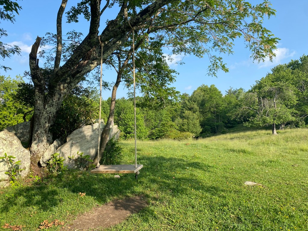
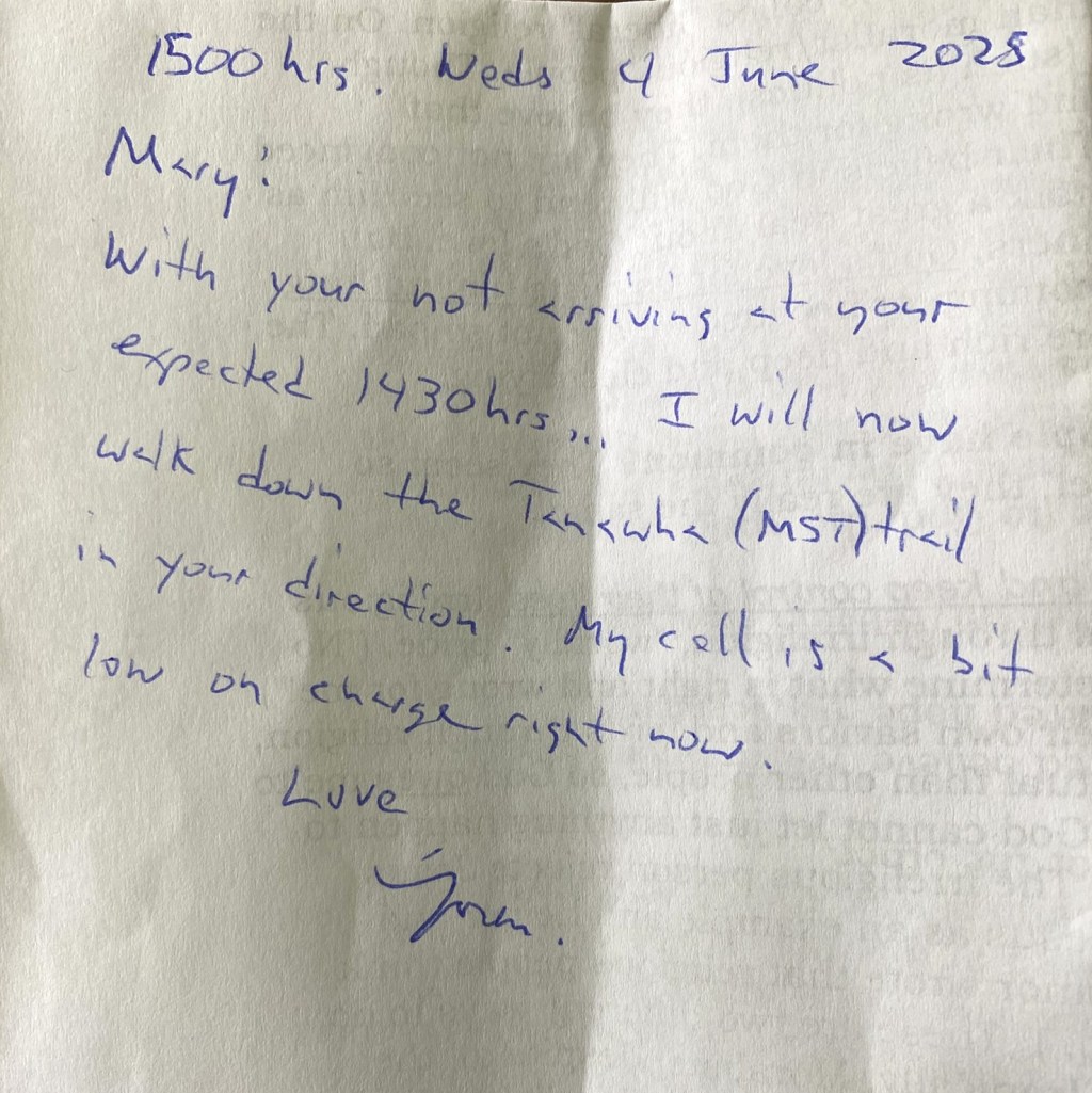
We set a 2pm rendezvous time…and away she goes!
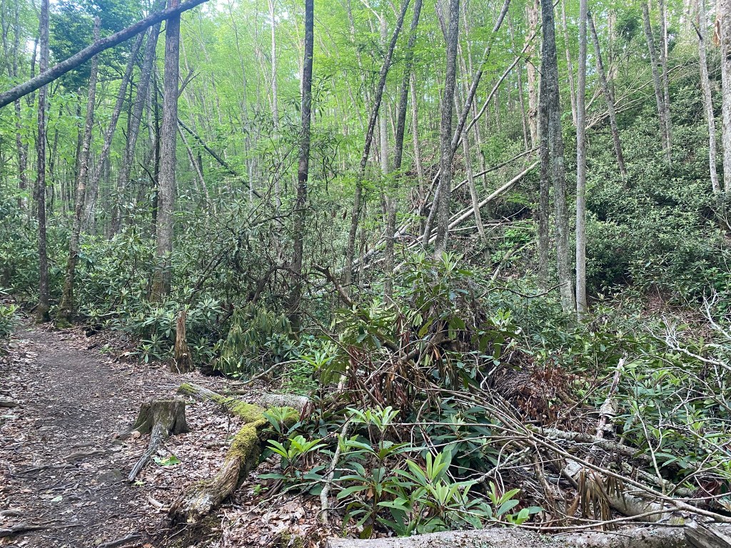
The trail volunteers put in a lot of hours to get this section cleared!
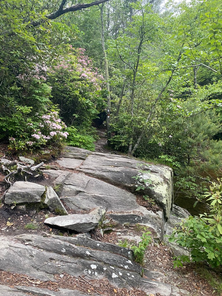
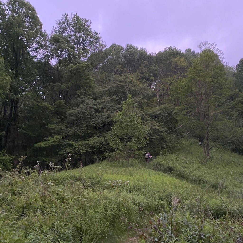
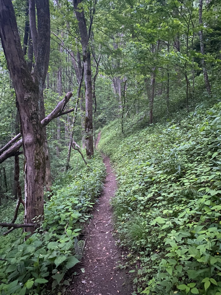
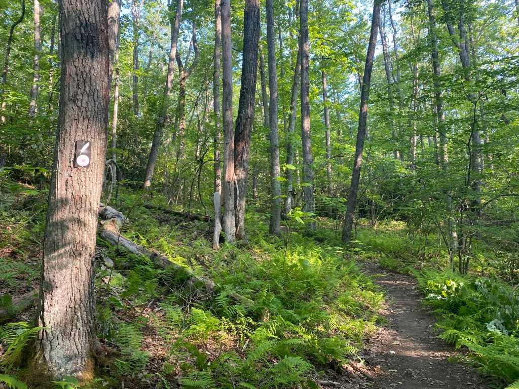
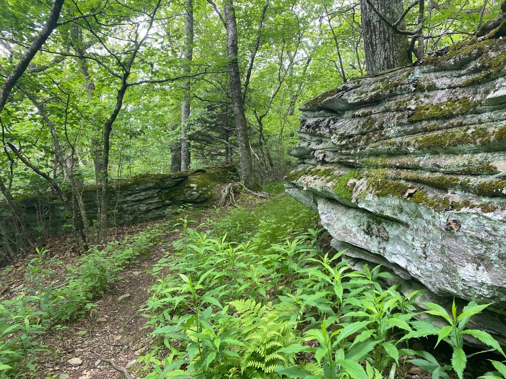
Yep, that’s the trail!
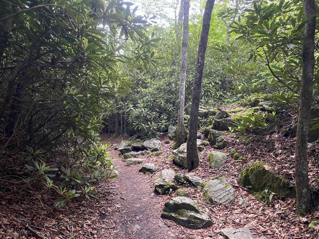
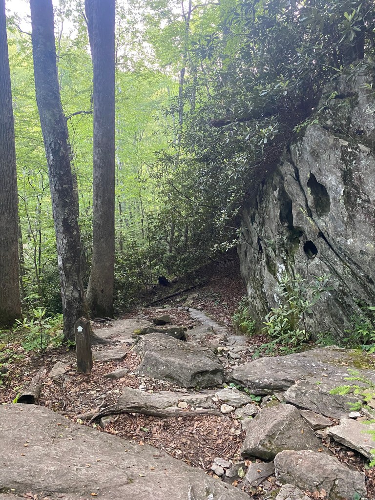
And so it began….LOTS of rocks and roots from here on out, although there could be short stretches of easier-going terrain.
One blessing is that it stayed overcast all day with a moderate temperature for June.
Up and down and up and down and around.
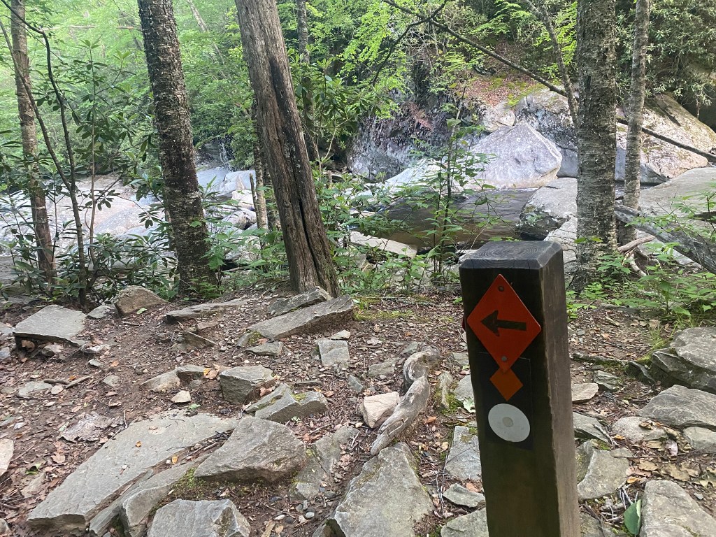
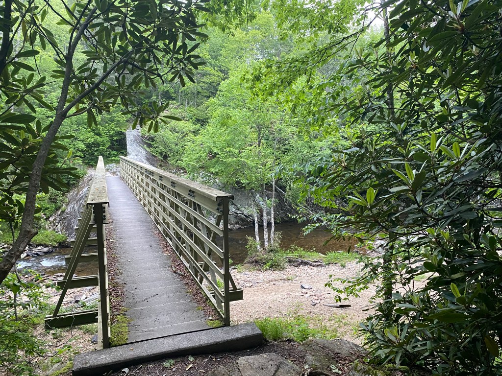
The roar of Boone Fork Creek below me was quite pleasant. I bypassed the side trail to Hebron Falls–I knew I needed to conserve my energy for a long day.
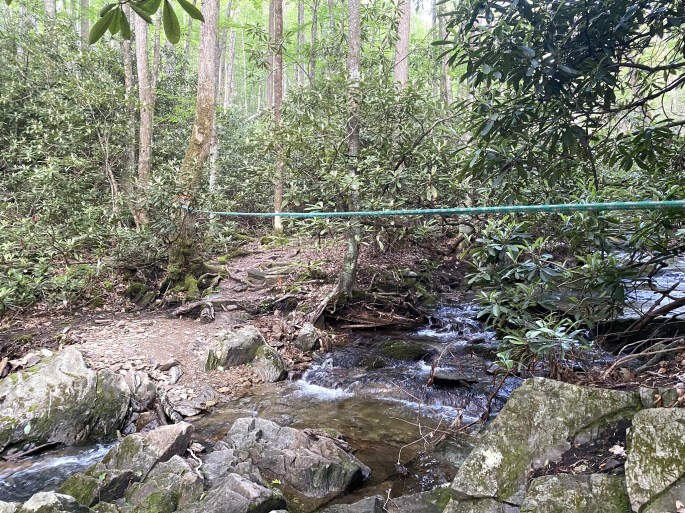
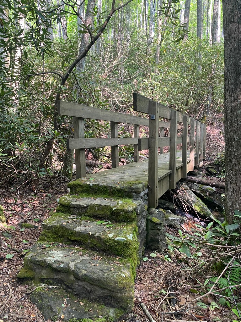
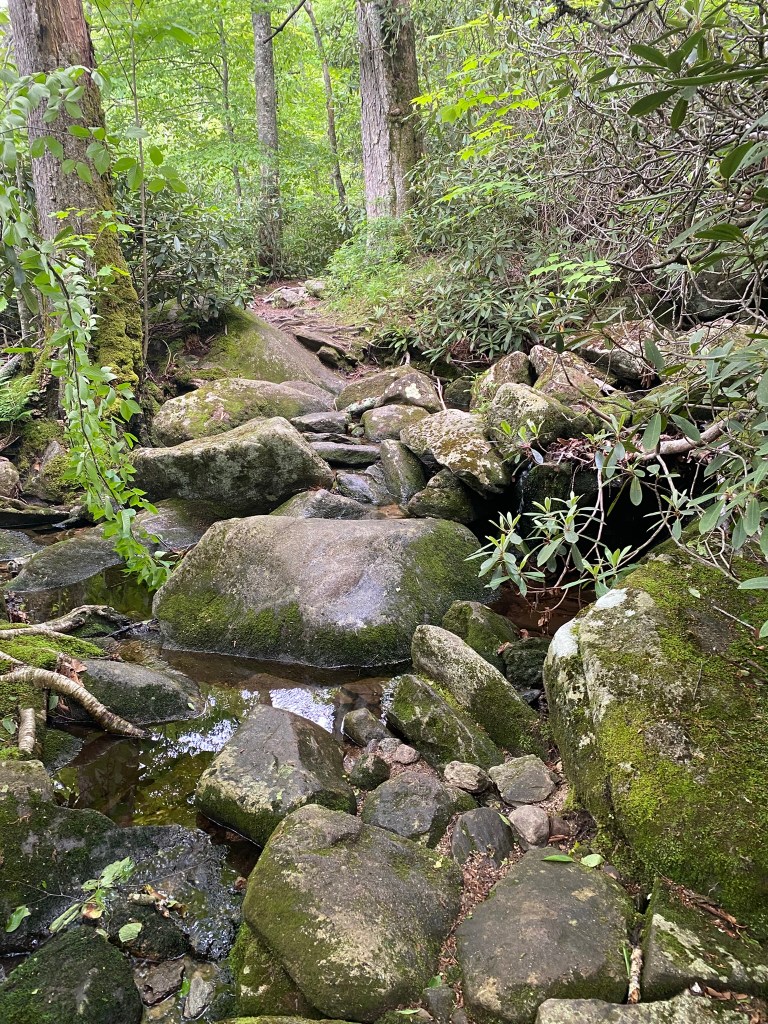
There were many creek crossings, of various difficulty. This one had a secure rope to help you balance while stepping across on the rocks.
Each creek crossing needed to be carefully scouted and cautiously executed! I did them all successfully, but it took extra time.
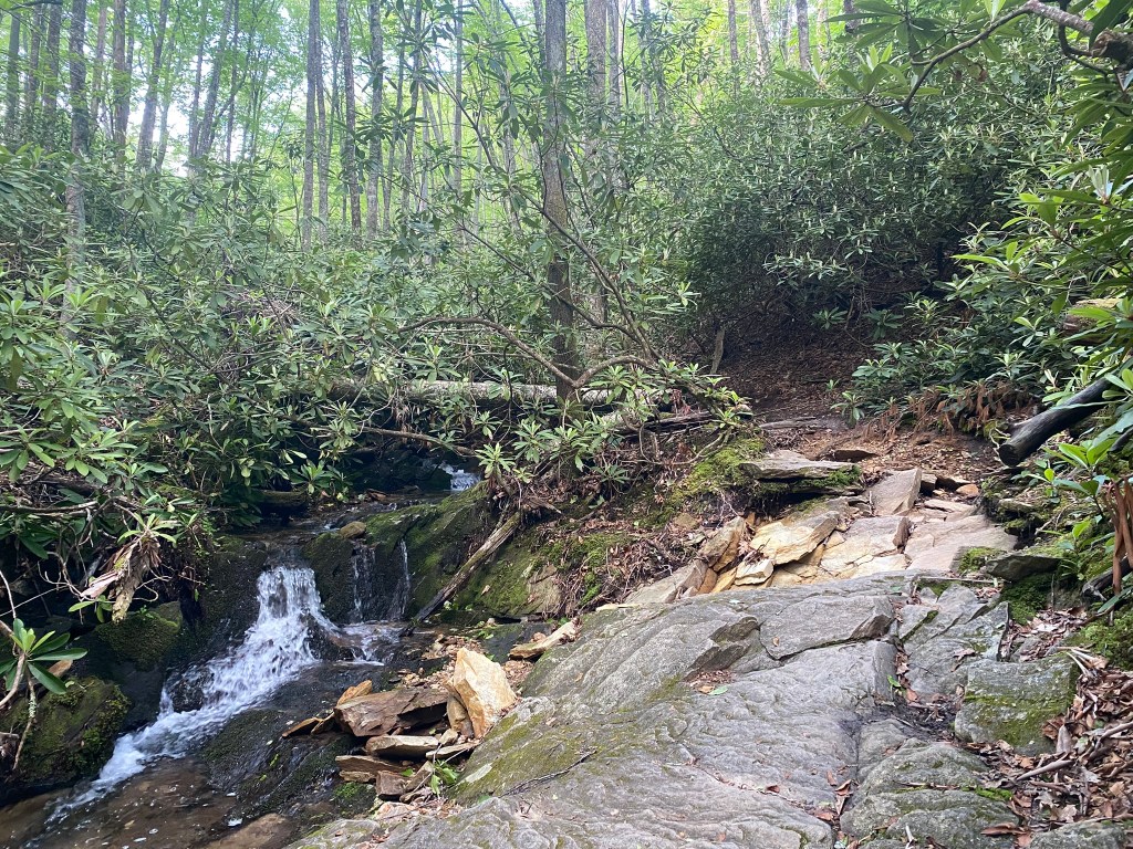
Sometimes even walking on the “TRAIL” took extra time, because the rocks were aslant, mossy, or wet.
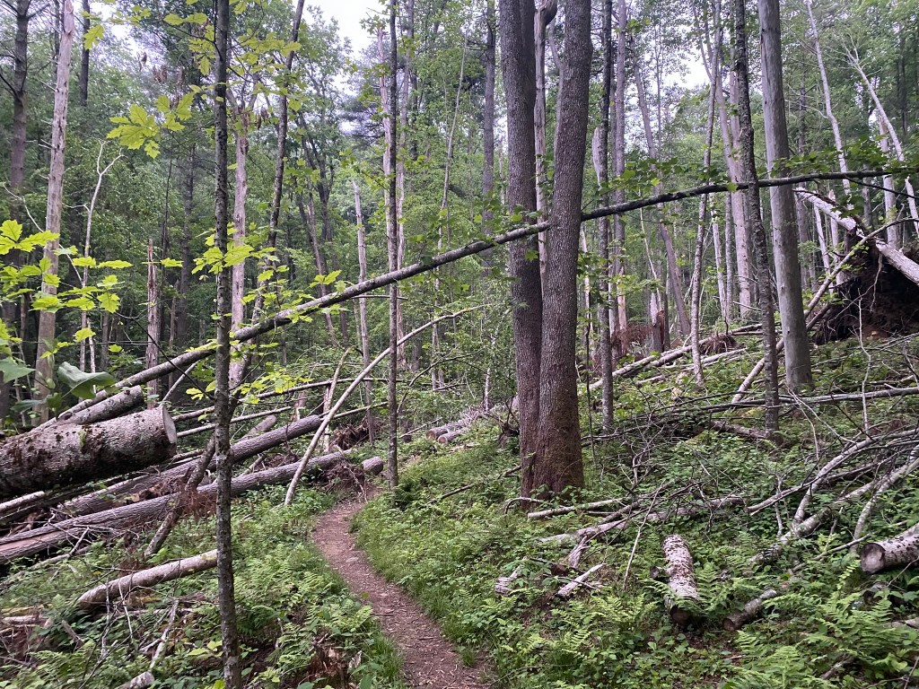
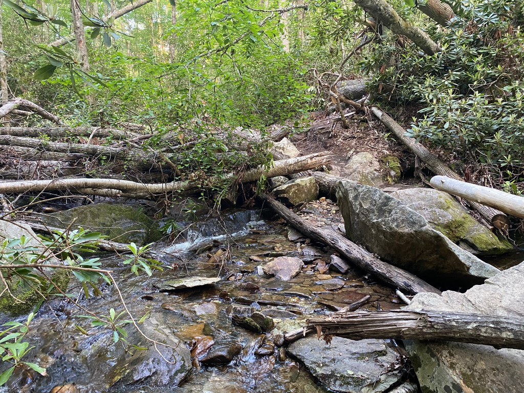
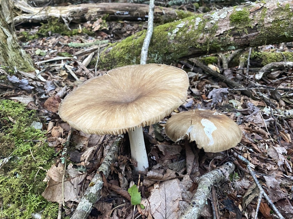
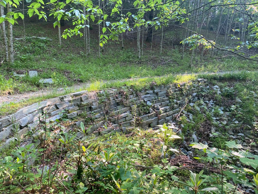
More evidence of Hurricane Helene
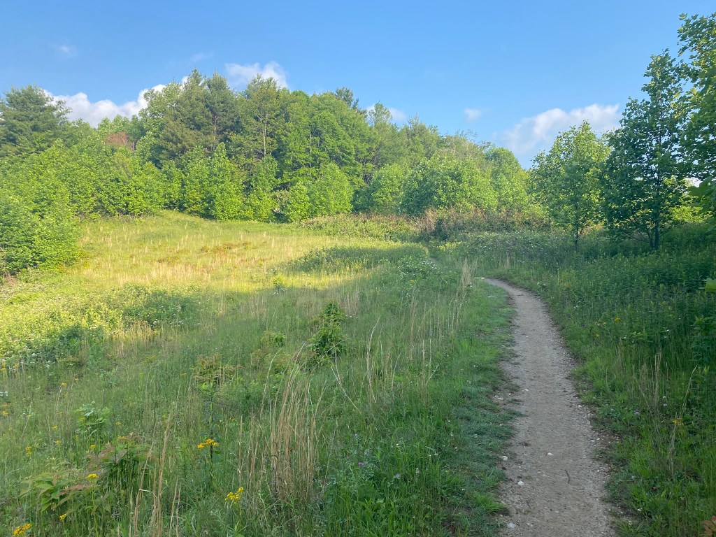
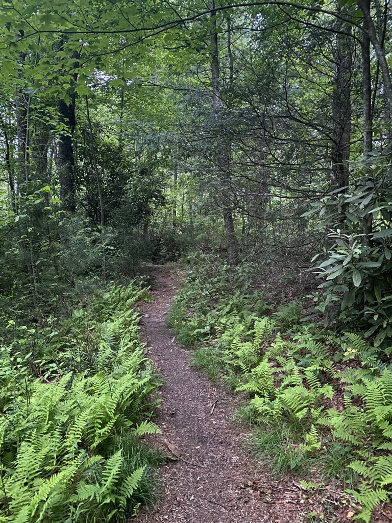
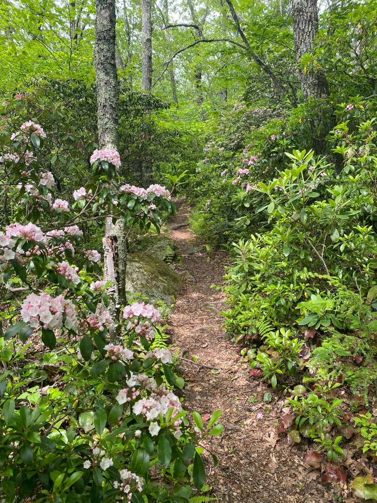
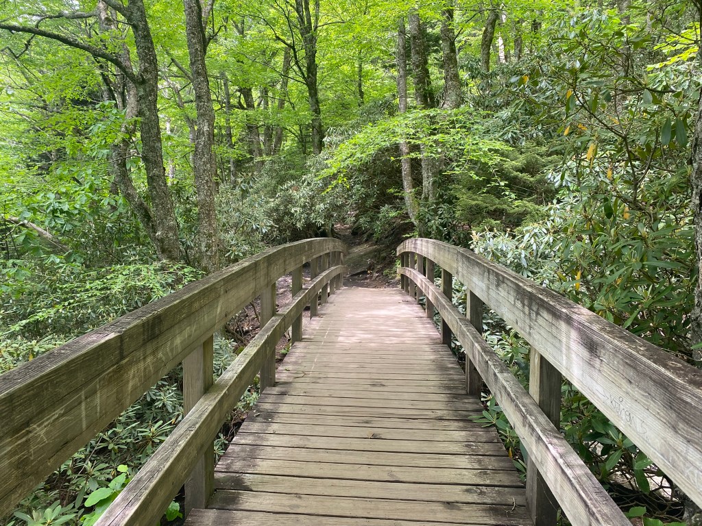
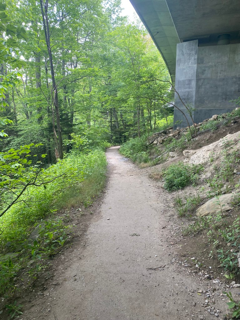
Open, even trail was a welcome relief, even if it was short-lived.
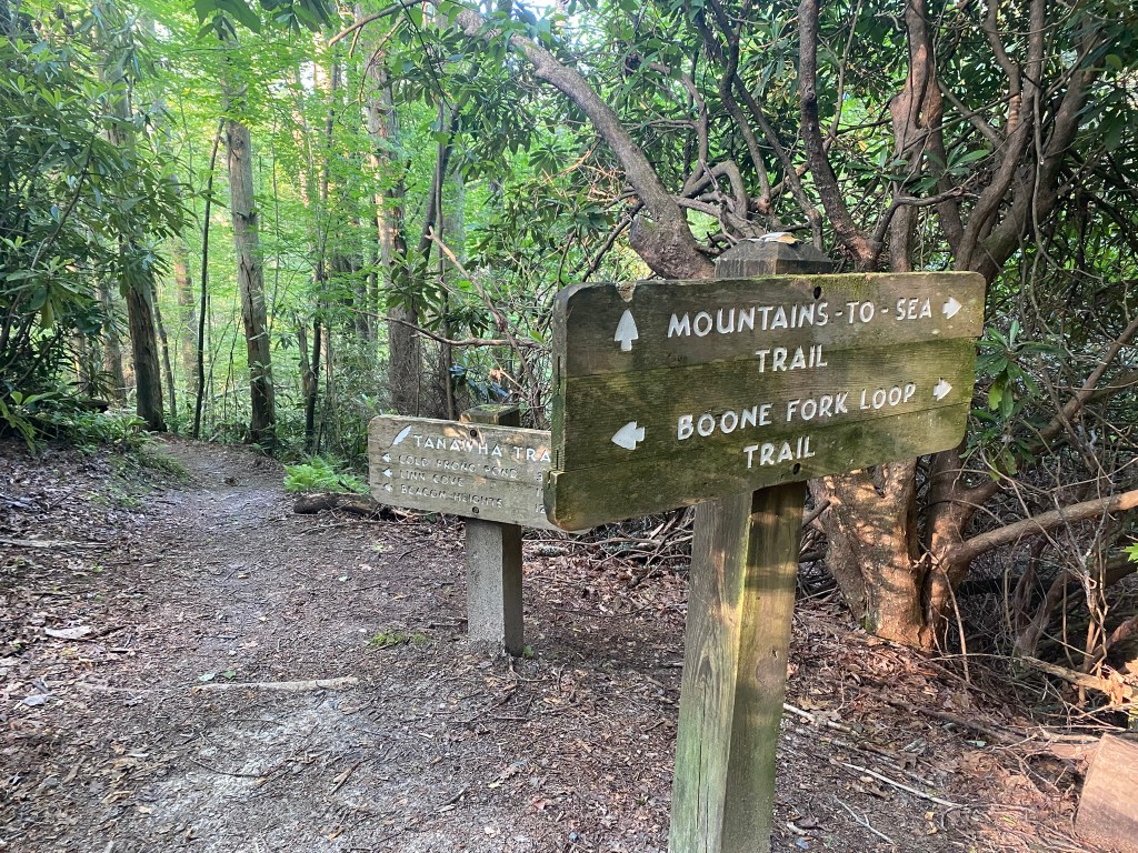
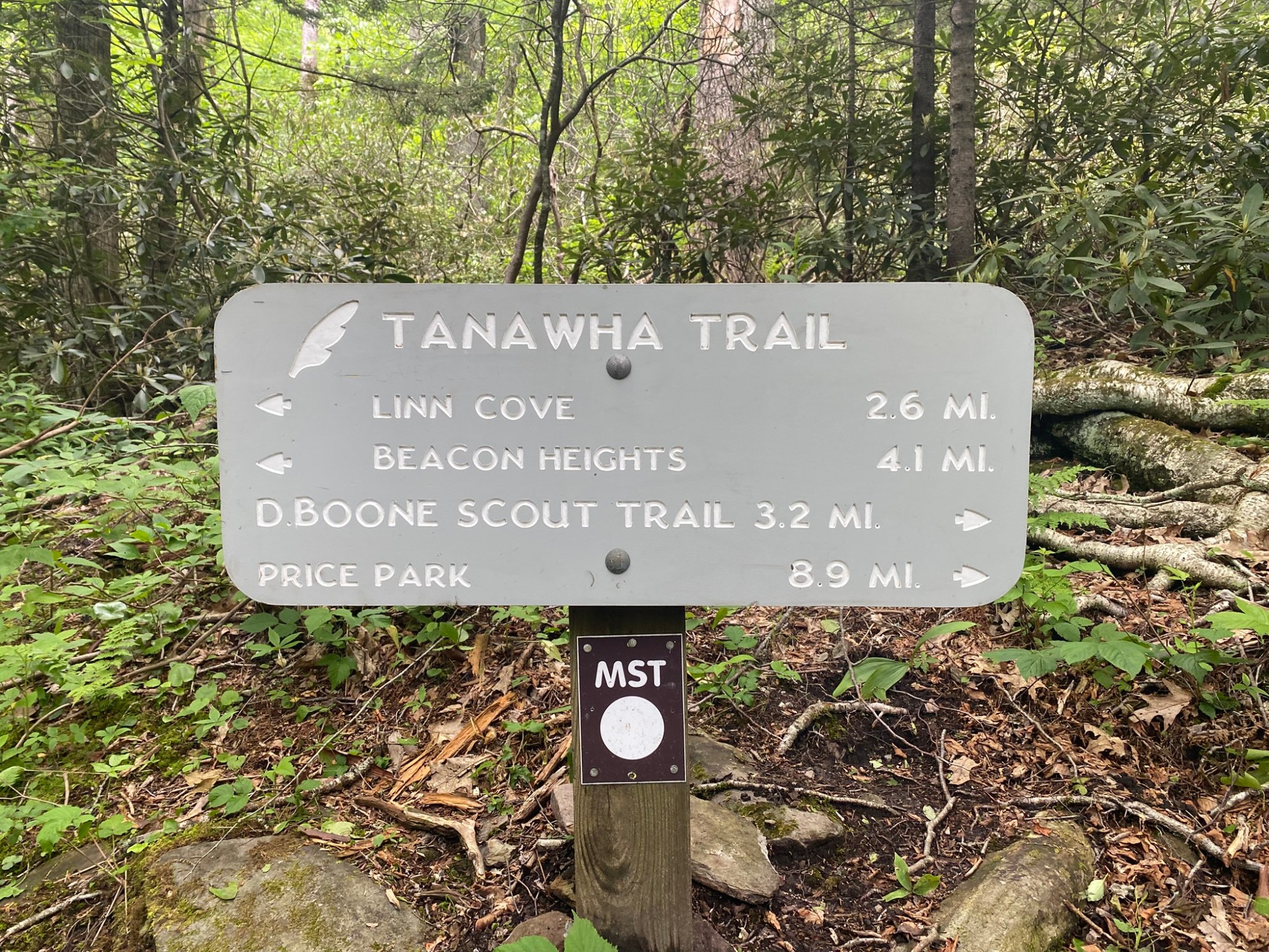
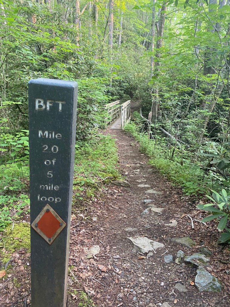
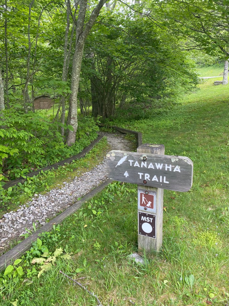
Good-bye, Boone Fork Trail.
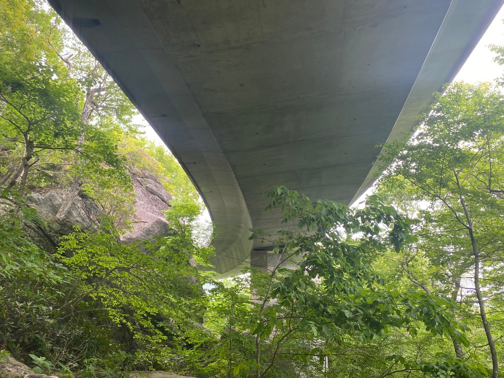
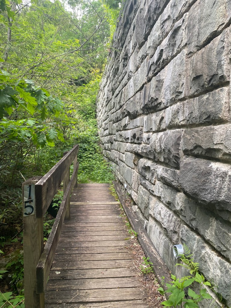
Hello, Tanawha Trail!
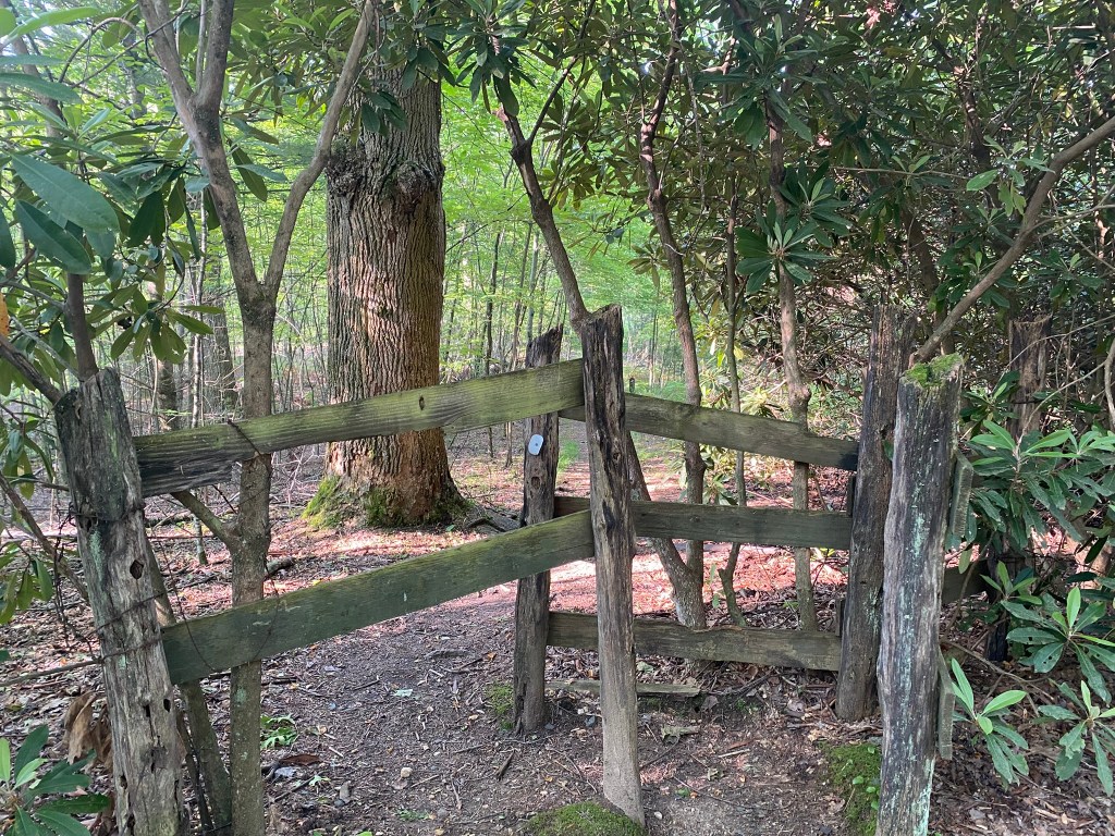
The two stiles in this section were upright walk-throughs!
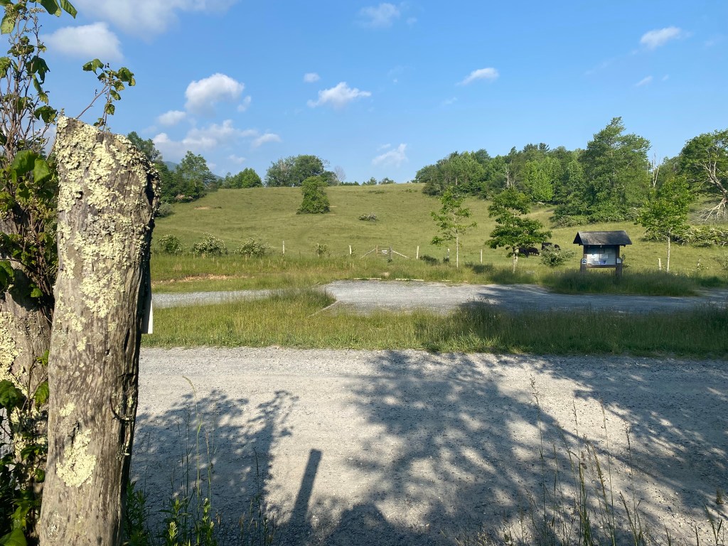
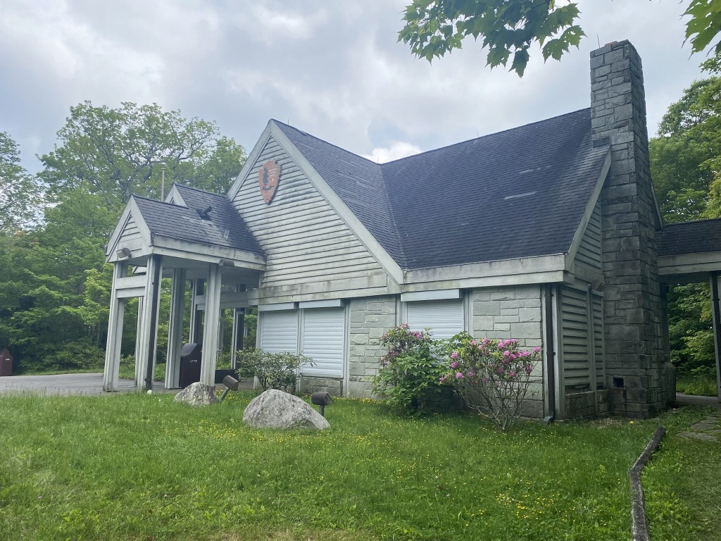
Holloway Mountain Road Parking Area at 5 miles
I carry my own water, but there was plenty to be had along the trail if you have a filter system.
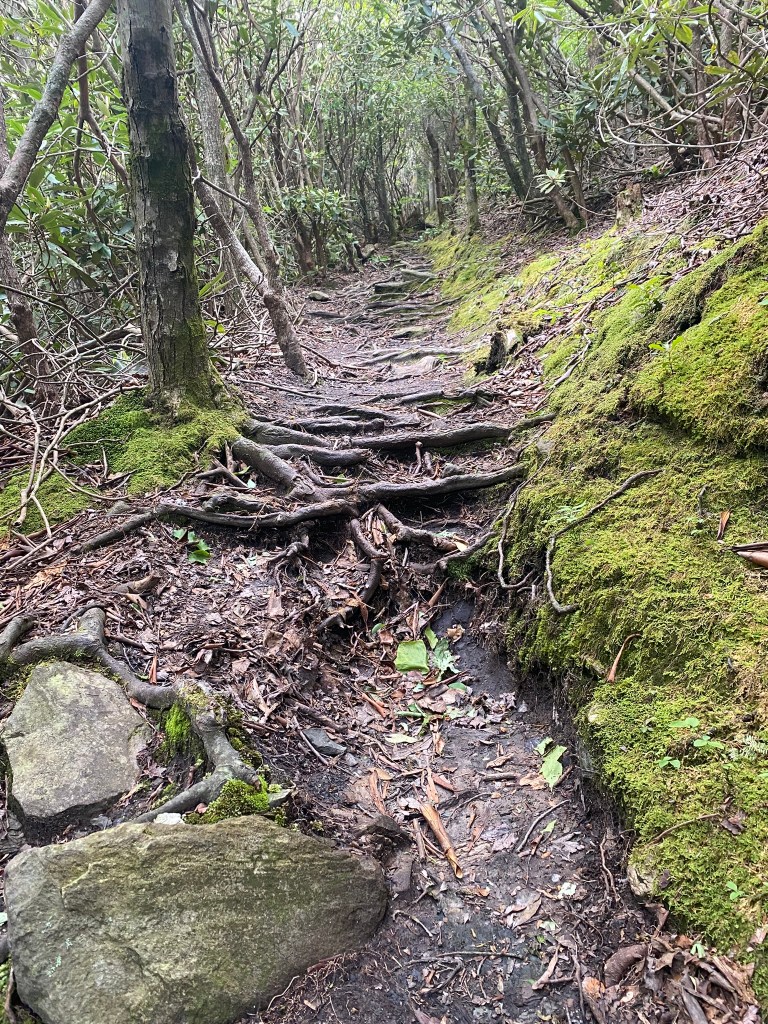
Lots of roots.
Glad I wore the long pants!
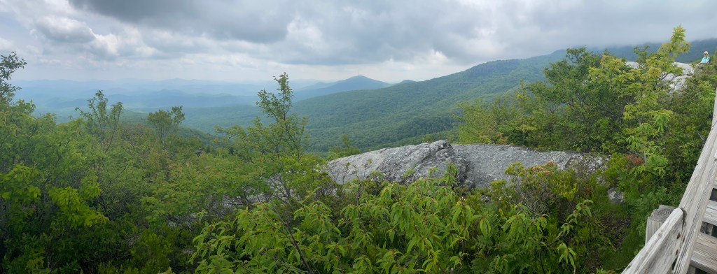
I cannot depict how strenuous it was to get up Rough Ridge, although the view was tremendous!
I’ve begun texting Loren to let him know that my new rendezvous time will be 2:30—-then 3:00—–then 3:10—–then finally, 3:20.
BUT he only receives the “2:30” text!
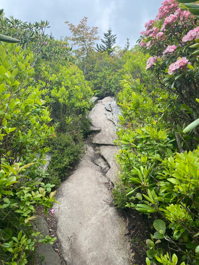
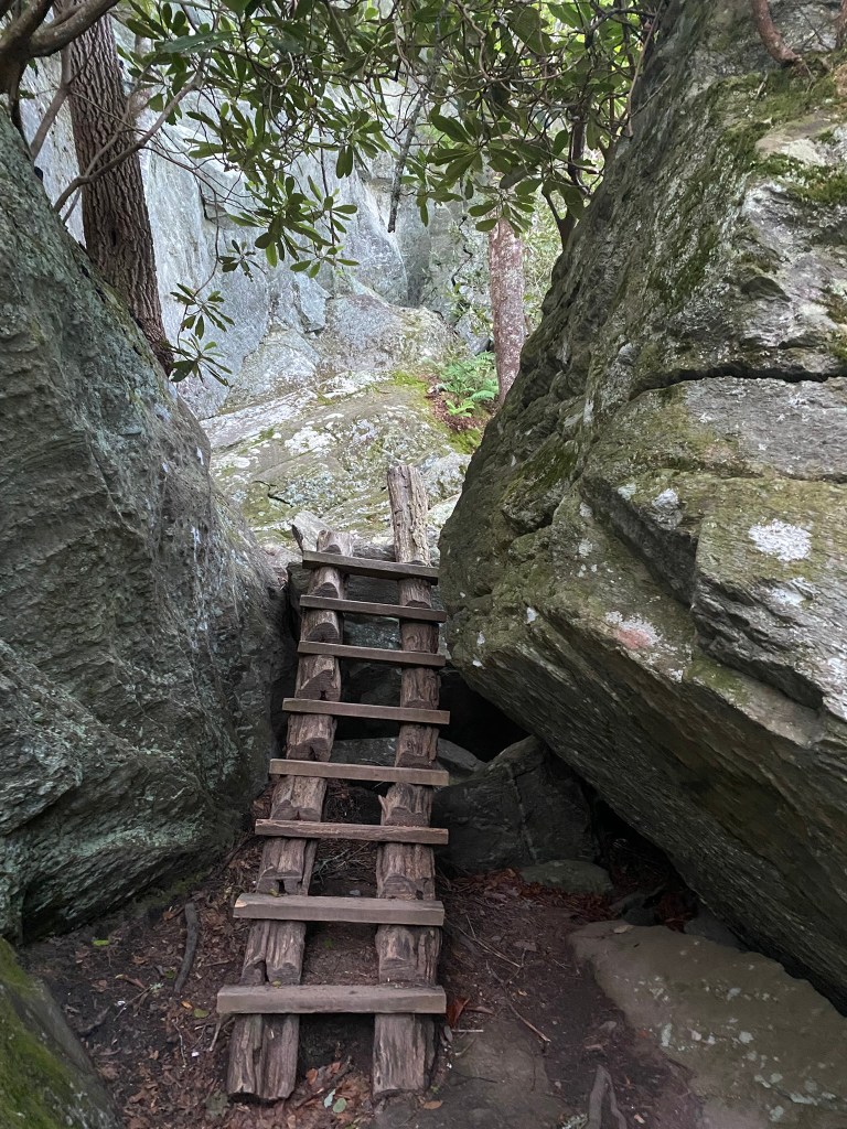
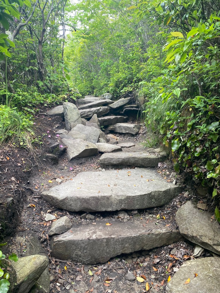
Yes, this is the TRAIL.
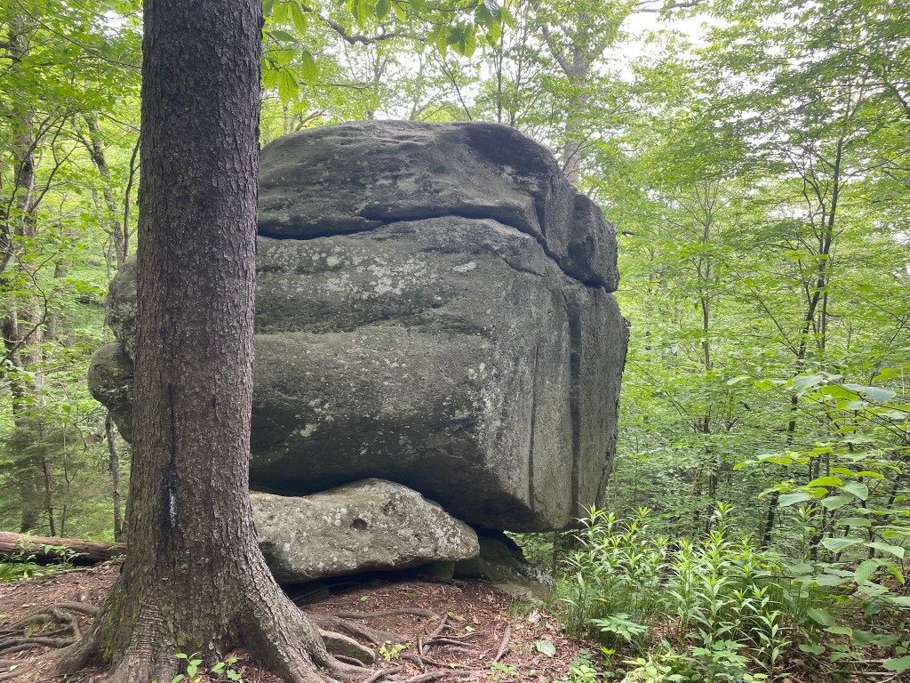
Balanced Rock at 13.5 miles. I am quite tired by this point!
Yes, this is the TRAIL!
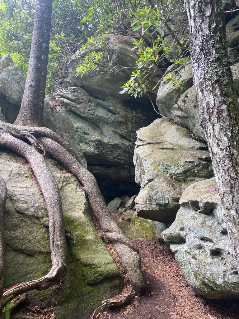
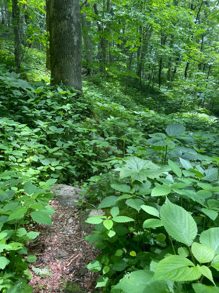
Yes, the trail goes in there!
I have never before appreciated the asphalt “tourist” path as much as I did today!
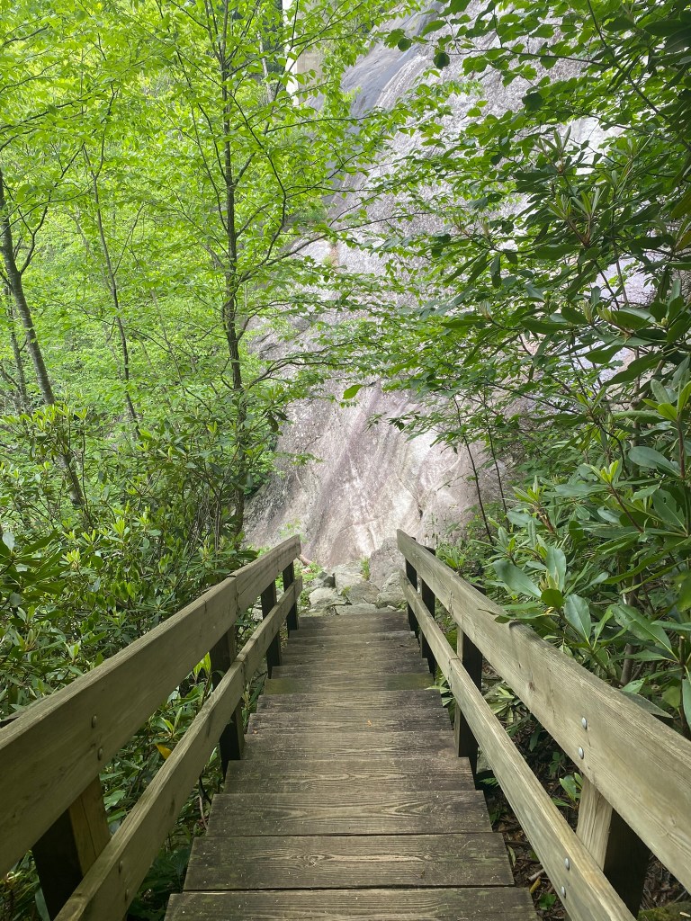
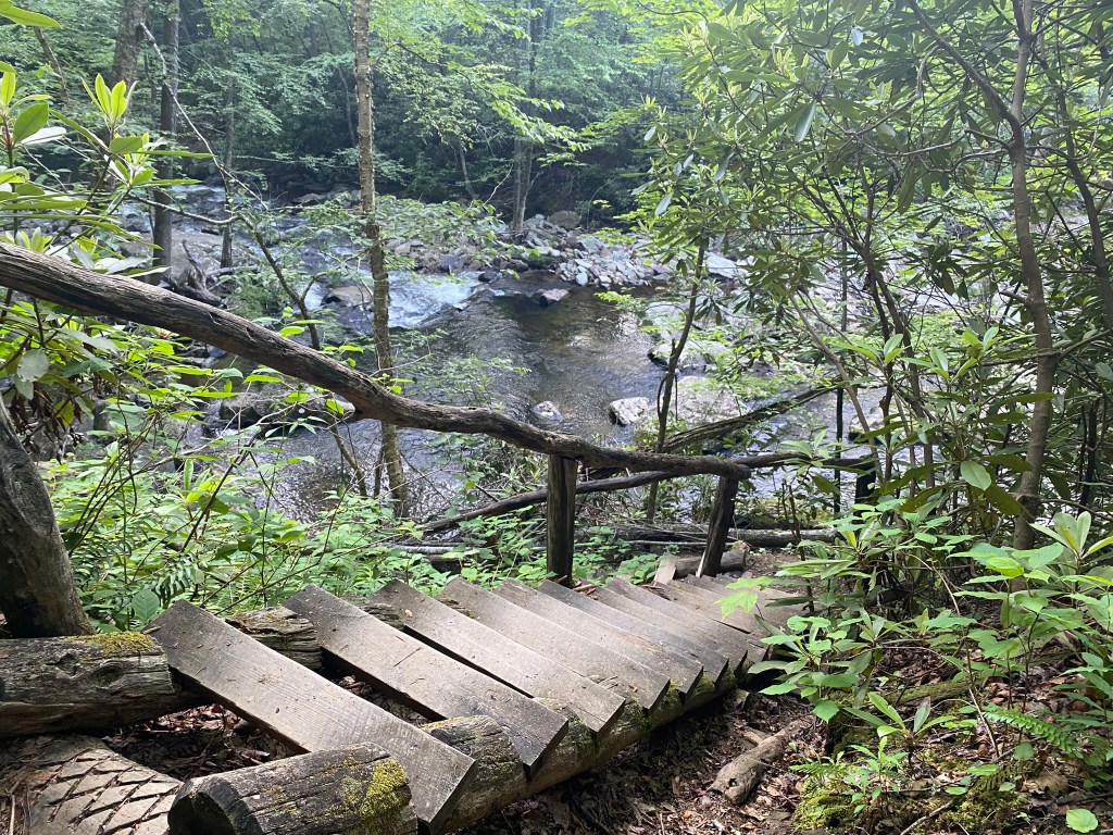
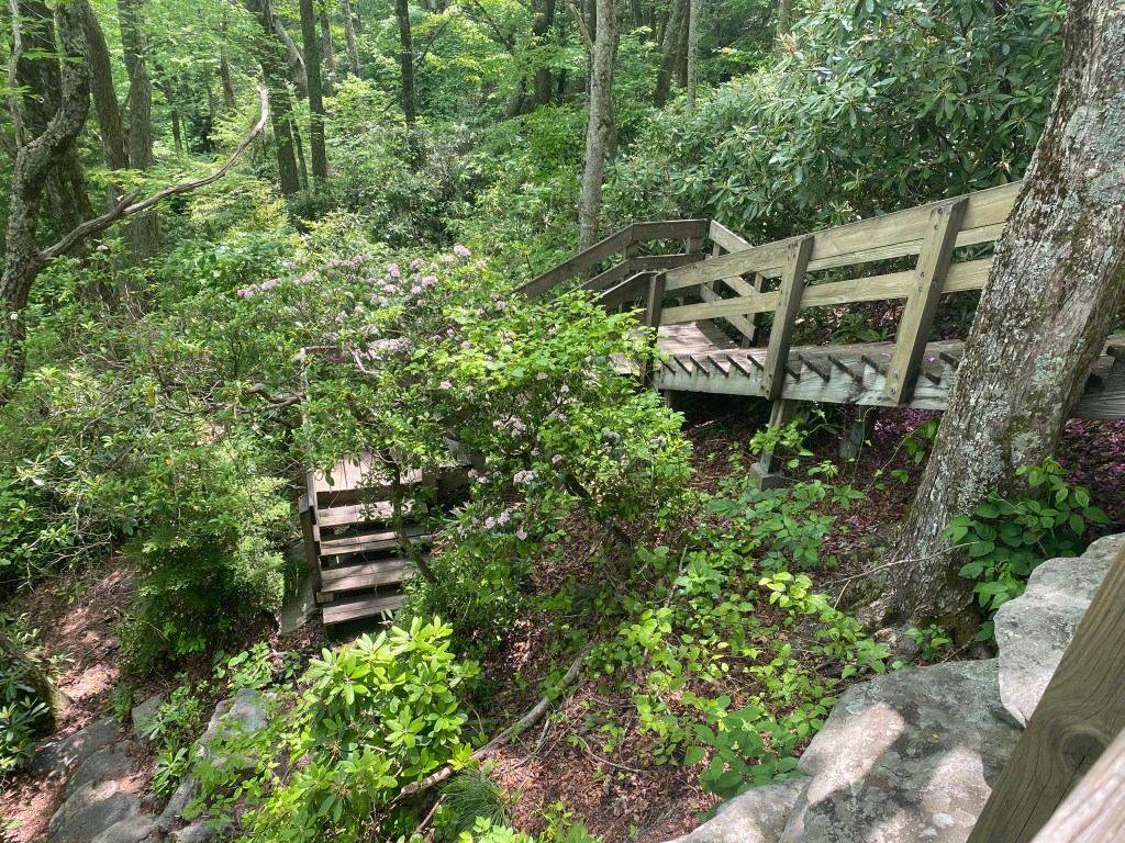
I took all these stairs carefully, because I knew my legs were tired.
A steep descent in front of Stack Rock, where I finished up the last of the water I had with me.
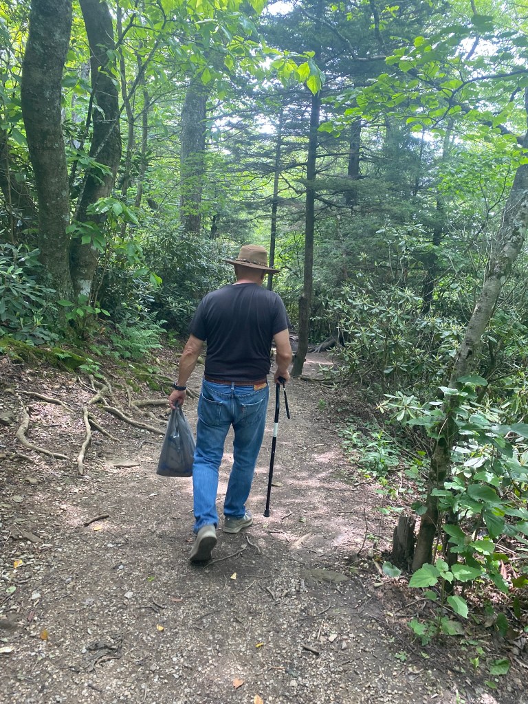
Meanwhile, at the car….
Less than a mile to go, and I knew Loren would be worried that I didn’t make my rendezvous time!
But HURRAY! We met up 1/4 mile from the car, and I gratefully CHUG-A-LUGGED the water he brought with him!
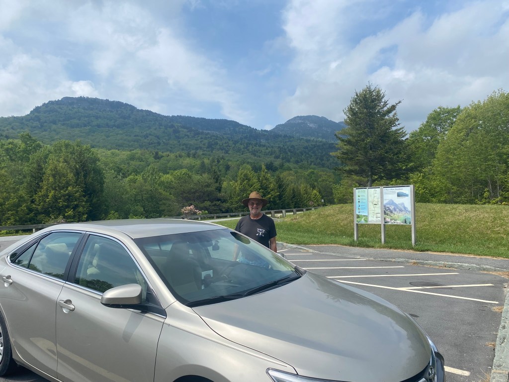
This is the Segment 4/5 terminus.
And TWELVE MILES will be my maximum goal for future mountain hiking!
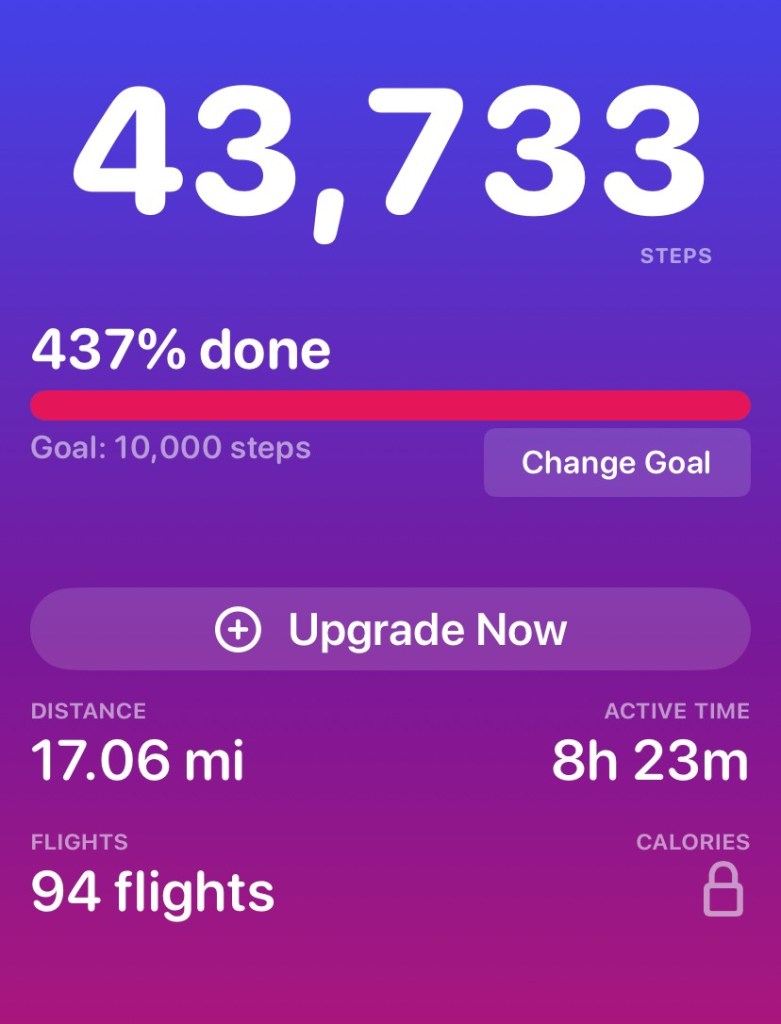
My STEPS App helps explain why I was pretty much spent by the end of this hike!

What a good, good husband!
Thank God that the whole trip went so well.
Lorraine.
>
LikeLike