Greentown TH on NC 181 to Hunt Fish Falls TH on FS 464, eastbound
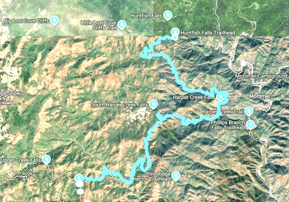
April 20, 2026. Originally planned as 12.9 miles, I added an additional half mile at the end for 13.4 miles.

On Sunday afternoon, after church and hosting missionaries for lunch, we drove 3 hours to a sweet little Airbnb cottage in Newland.
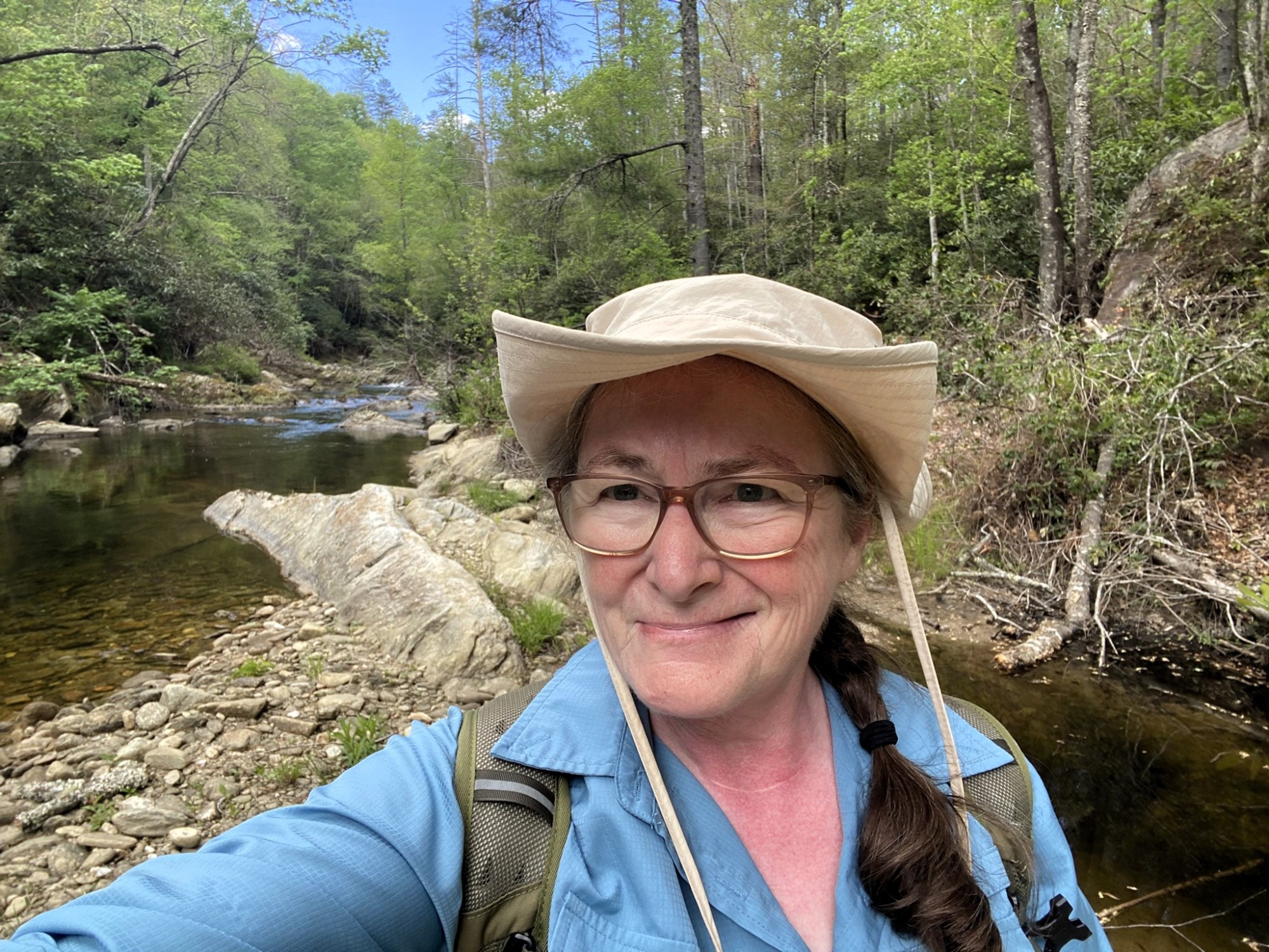
I figured it would take eight hours for this hike, so we were at the Greentown trailhead on NC-181 by 6:30am.

The husband-shuttle had a great day birding in Avery, Burke, and McDowell Counties.
My own birding list for the hike had nine species of warbler, including the Swainson’s Warbler that I heard in the first quarter mile. Early morning is best for birdsong!
It was obvious I was sharing the trail with my ursine friends, but I’ve yet to actually see a bear on the MST. And I am very happy about that.
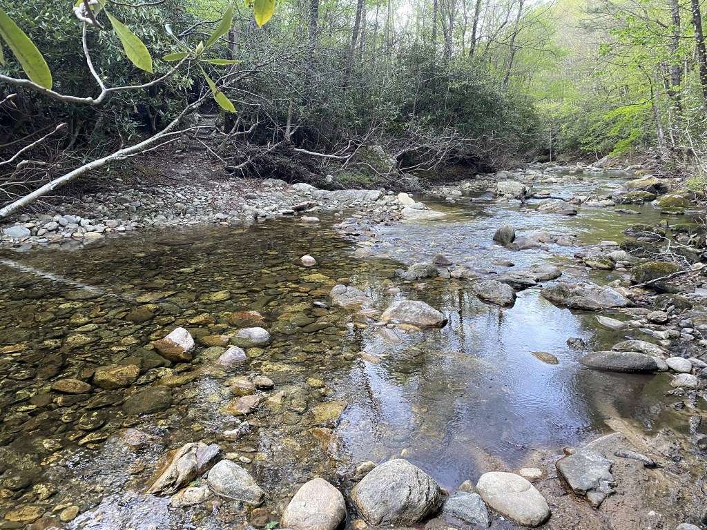
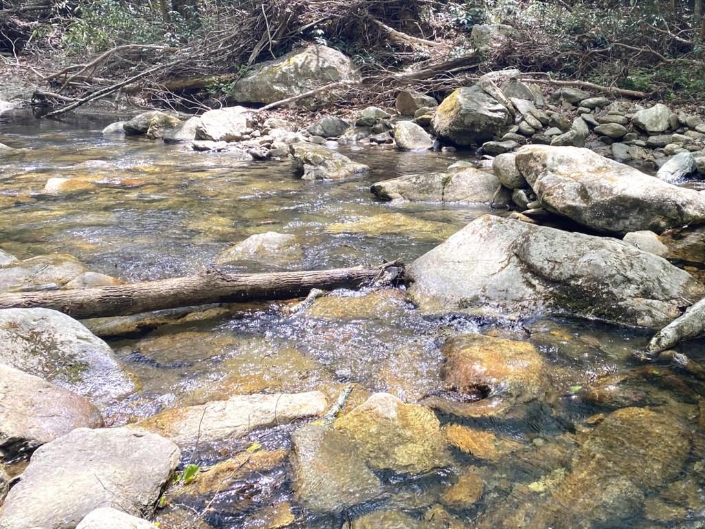
The first significant creek crossing, and I chose to wade.
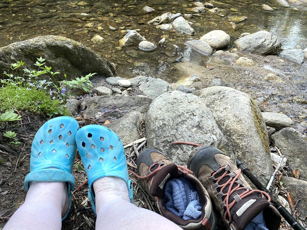
I came prepared for that…
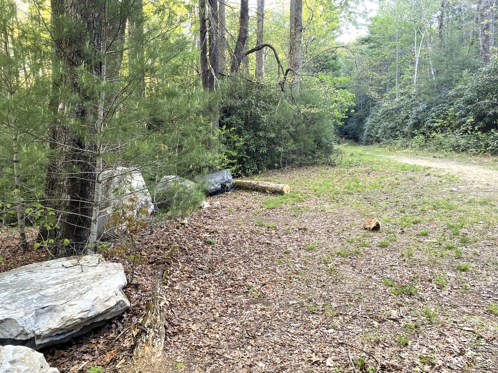
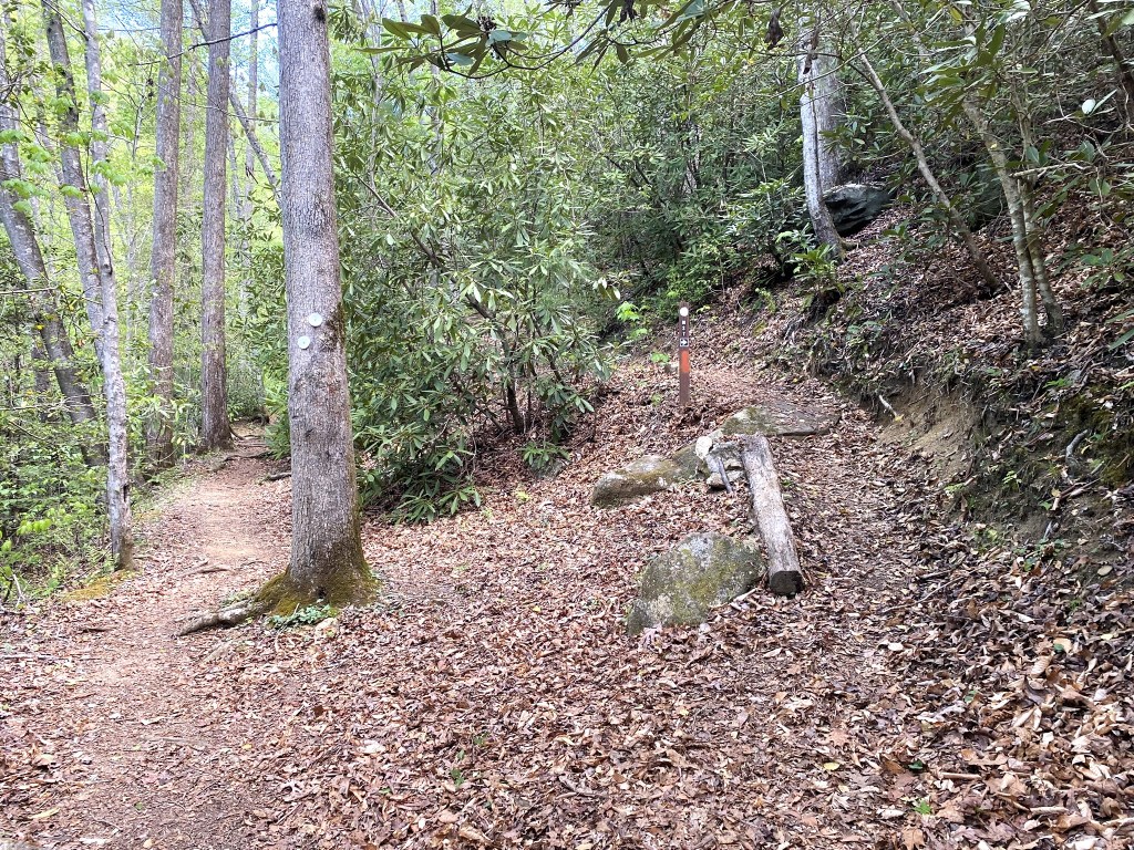
“Wilderness Camp” had some nice rocks for a rest at 3.5 miles.
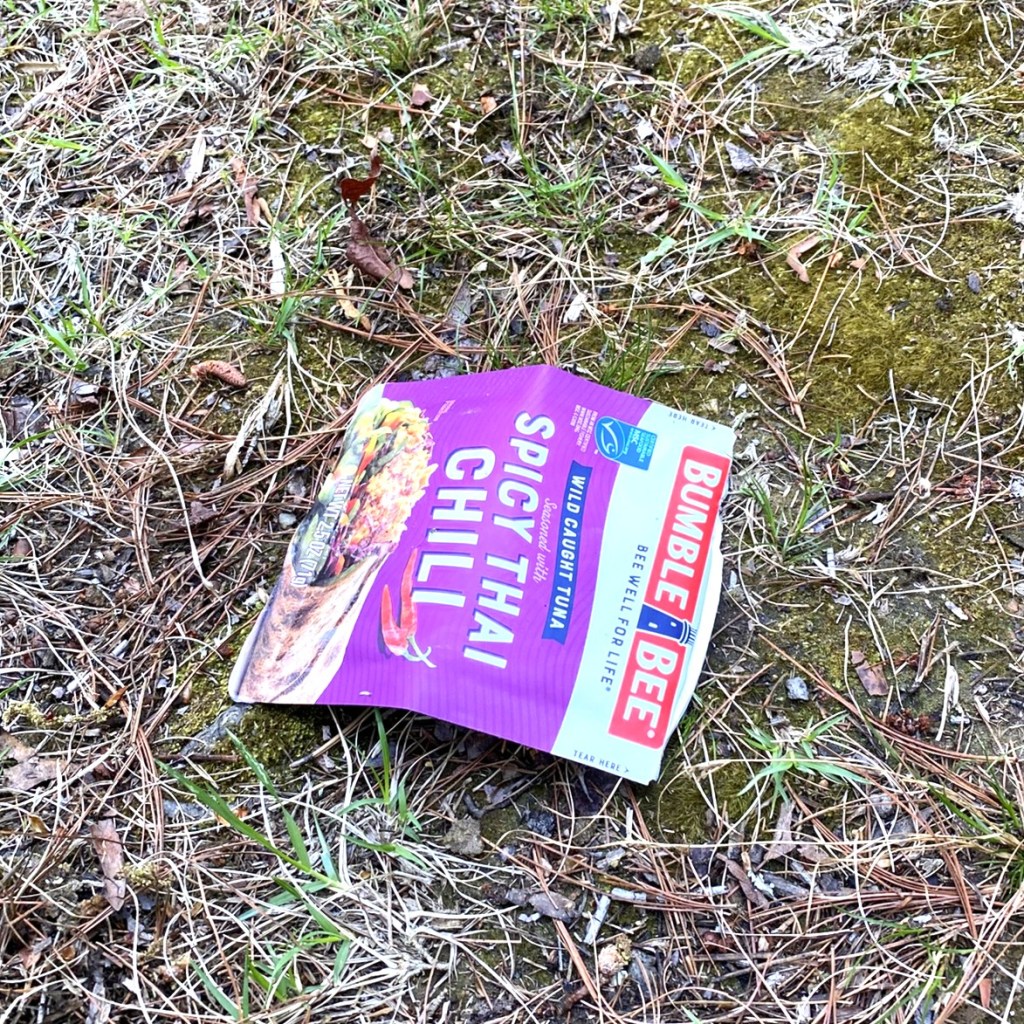
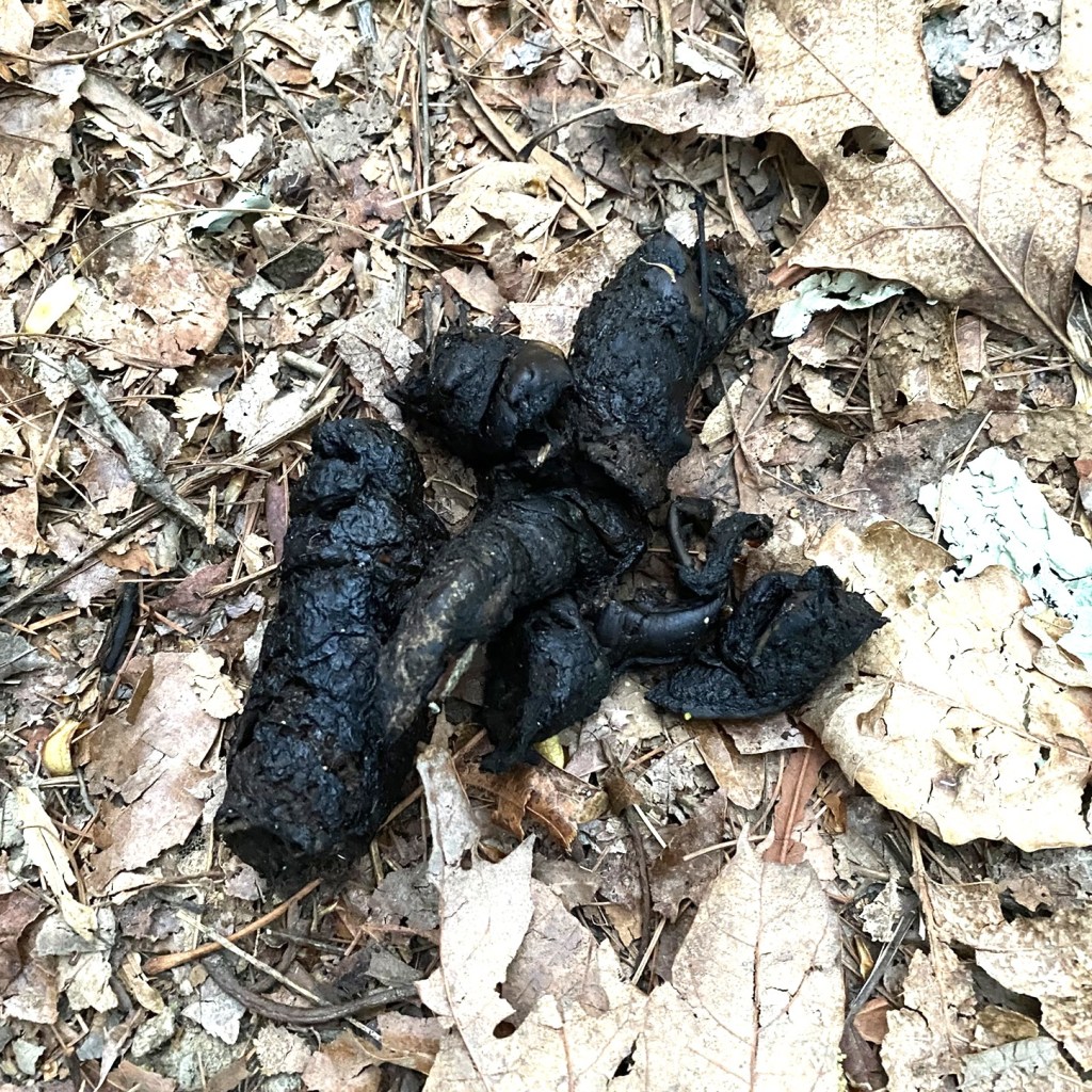
I never saw another hiker, although I did find evidence that one had been there! (And yes, of course, I packed this out.)
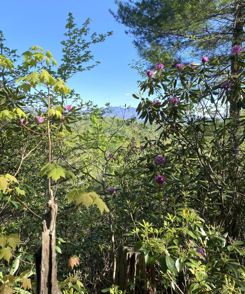
My only view of the day was this glimpse at a faraway ridgeline.
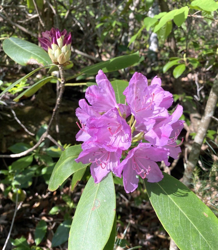
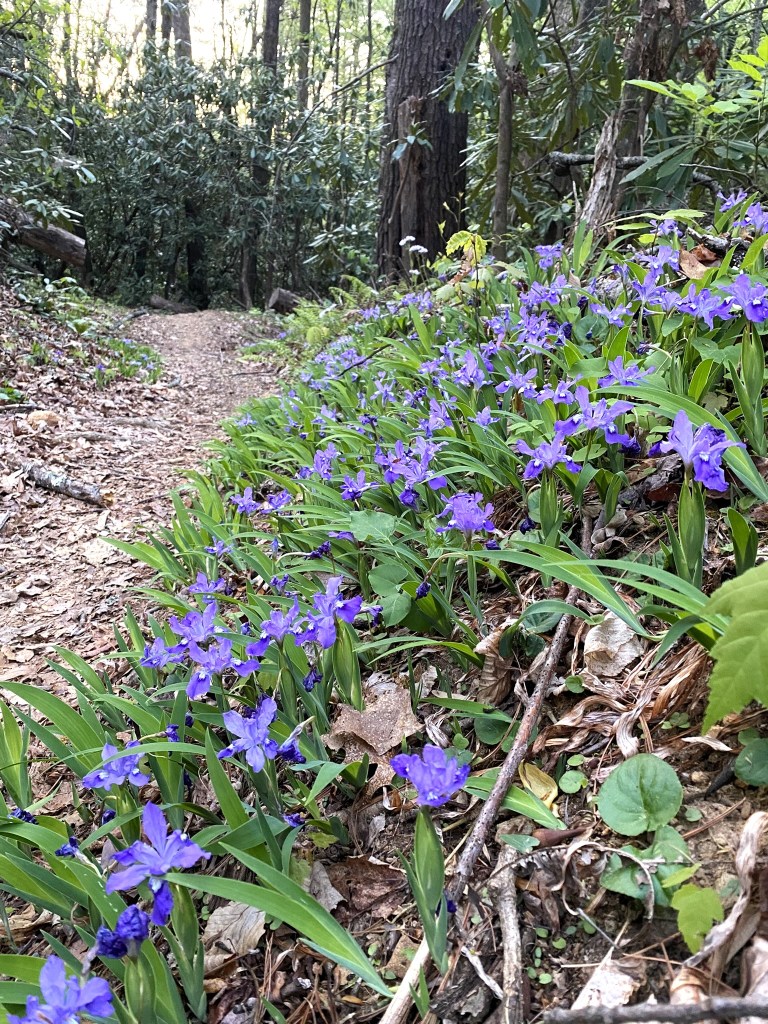
The Mountain Laurel was blooming along one short section of trail, otherwise it was still a bit early for them.
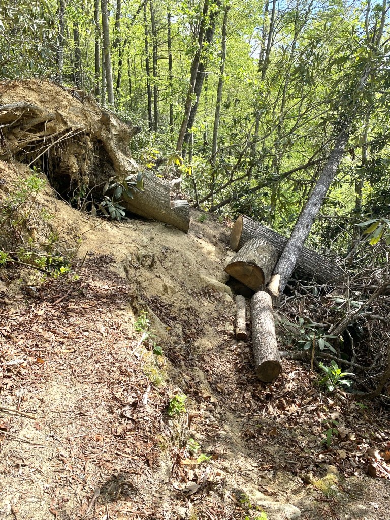
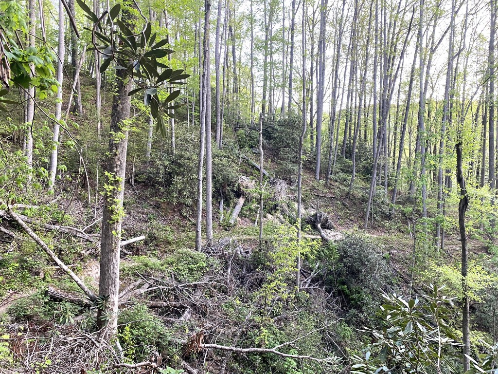
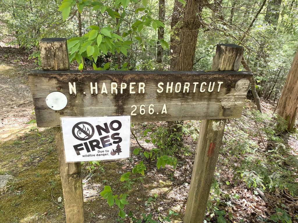
Segment 4 was hard-hit by Hurricane Helene, and you could see how much work has been done to re-establish the trail, especially along Harper Creek.
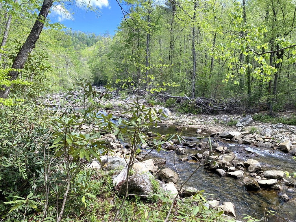
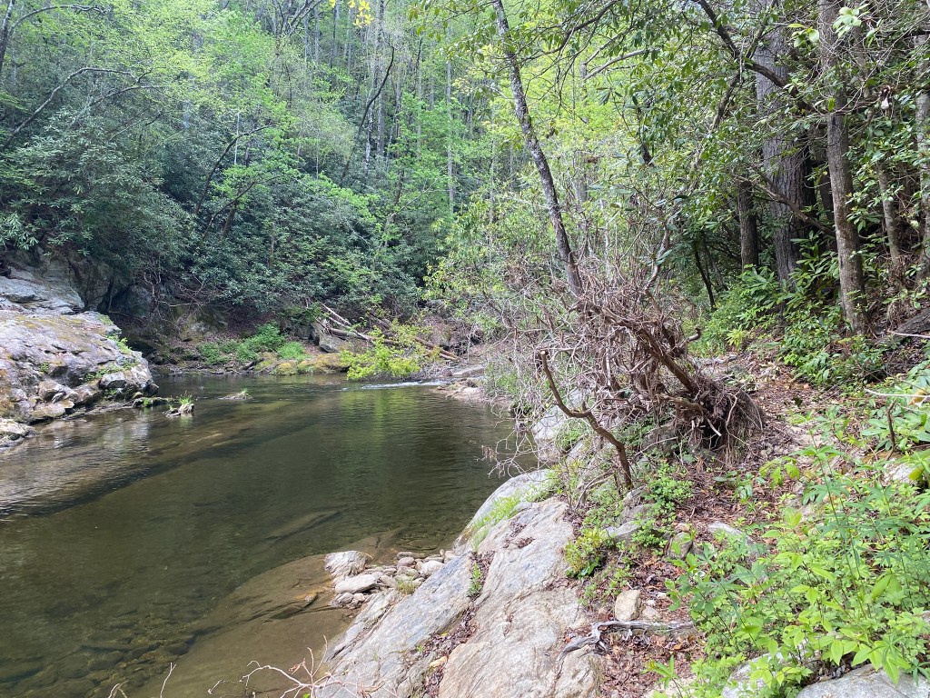
Each crossing of Harper Creek involved a very careful decision about whether to wade or rock-hop, and exactly which route looked within my physical capability.
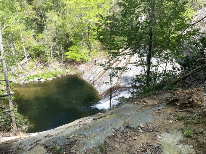
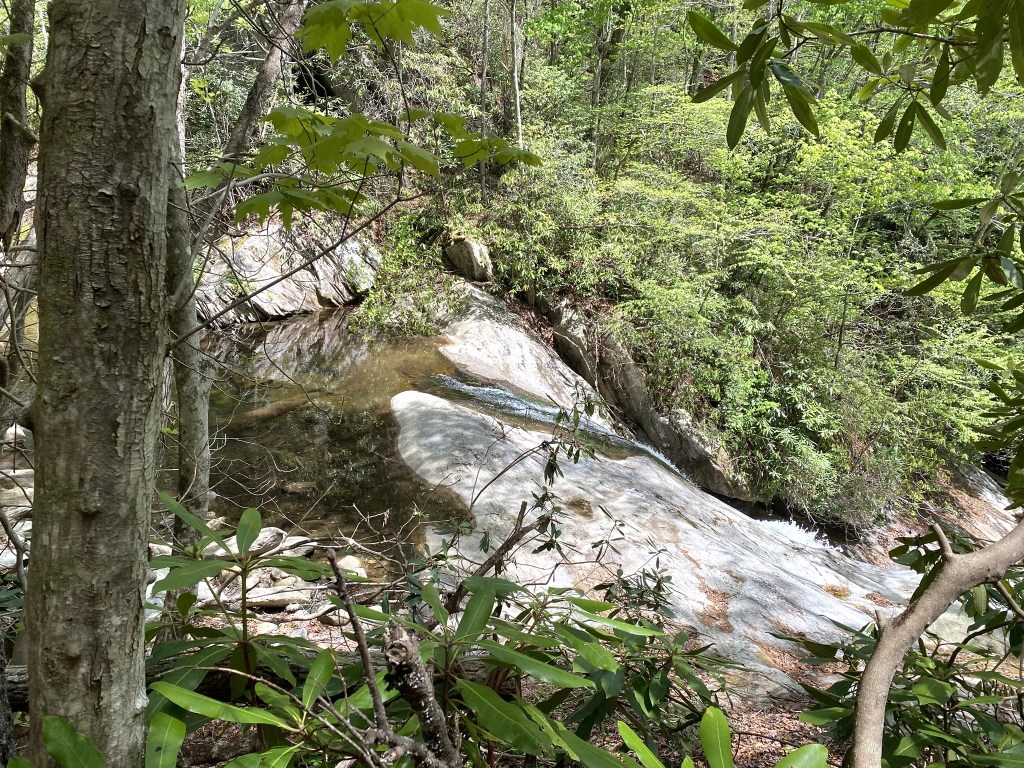
Shortly past this rather dangerous overlook, the trail took a steep descent . . . and something just didn’t feel right. I stopped to re-read the printed directions.
“Trail hugs a slope and rises over 30 yards above the creek as the gorge narrows. As it climbs the slope, a trail goes straight, following an old railroad bed. Within 300 yards, this trail ends at an overlook of Harper Creek Falls.”
Did you catch that? “A” trail goes straight, not “THE” trail. I was on a scenic spur. Oh, the power of the difference between the indefinite and definite article!
When I backtracked, it was obvious where I had missed the junction. I must have been looking at my feet–or I was distracted by another fresh pile of bear scat . . .
Thank, you, Lord, for the “check” to my hiking-sense!
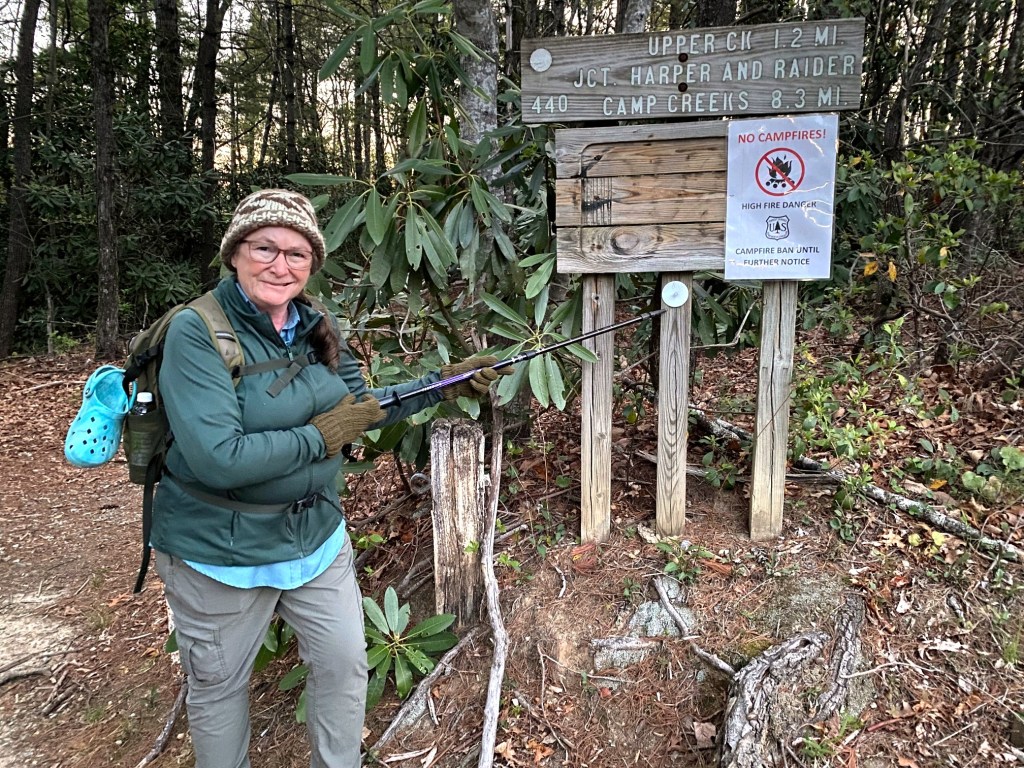
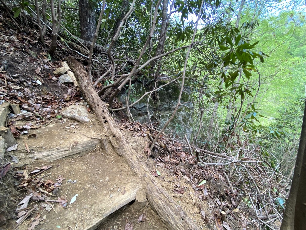
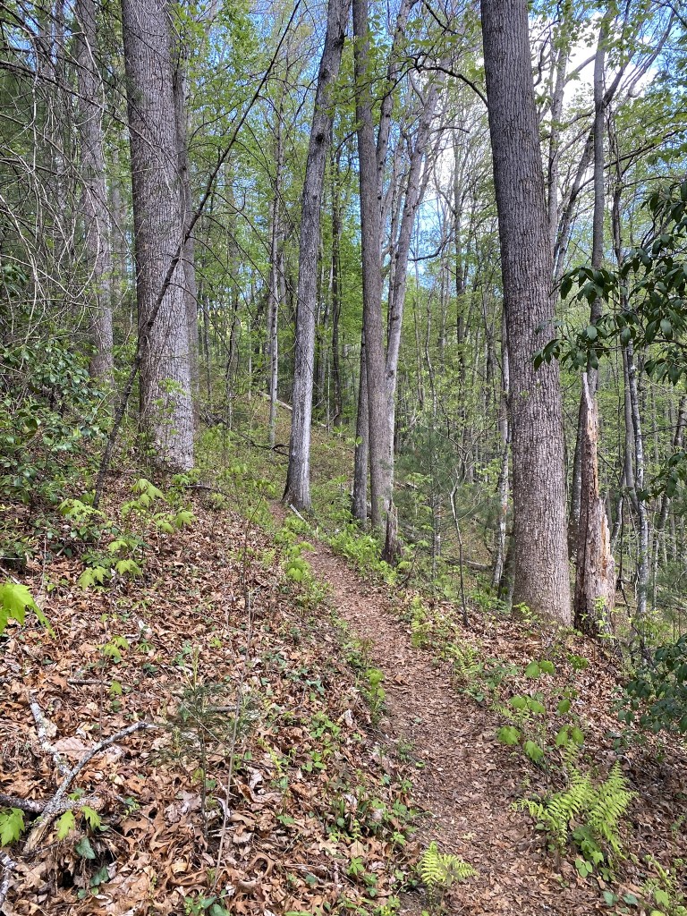
The official trail had its own challenges! These ten miles definitely required some advanced hiking skills.
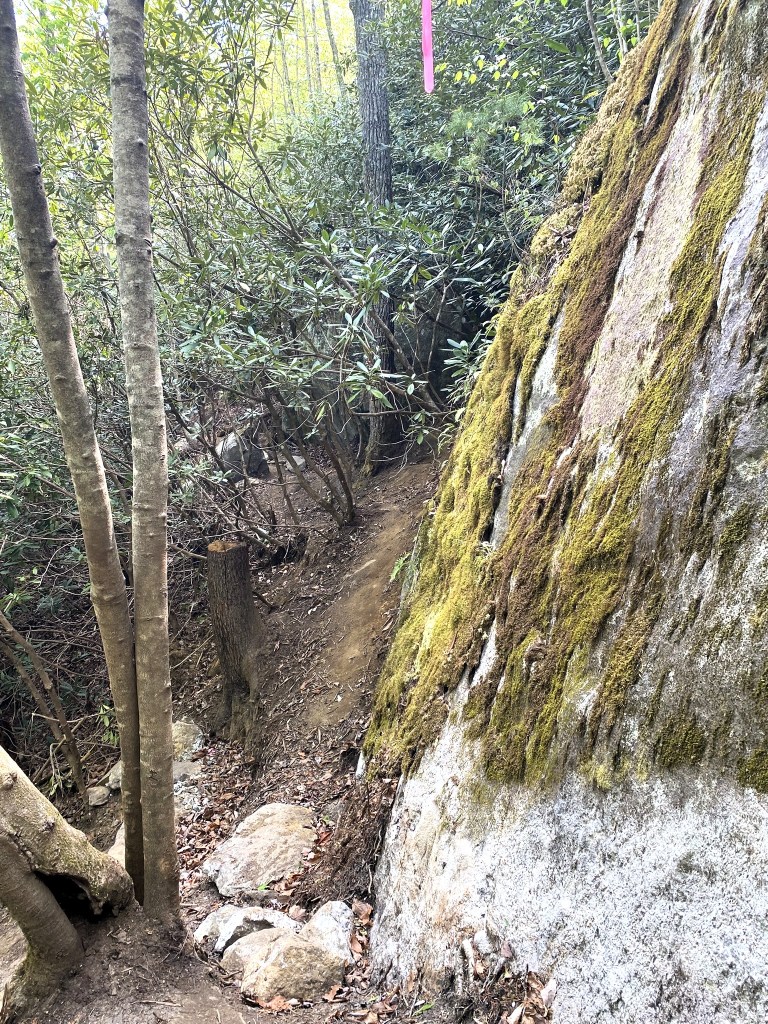
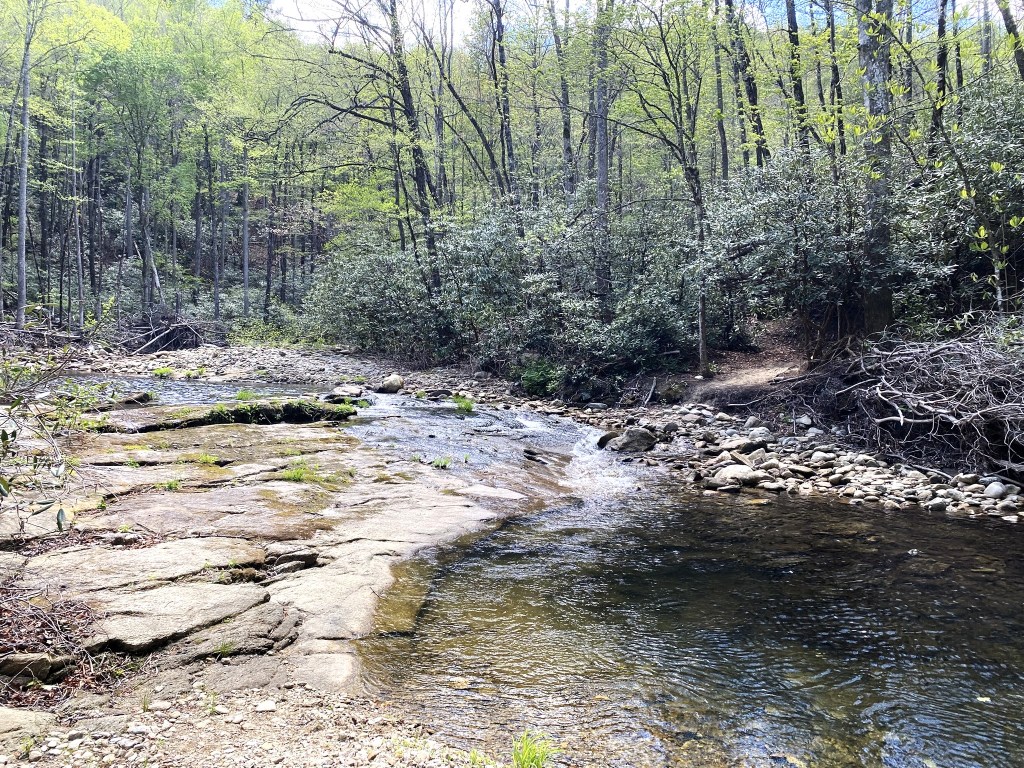
The trail often hugged the very edge of Harper Creek.
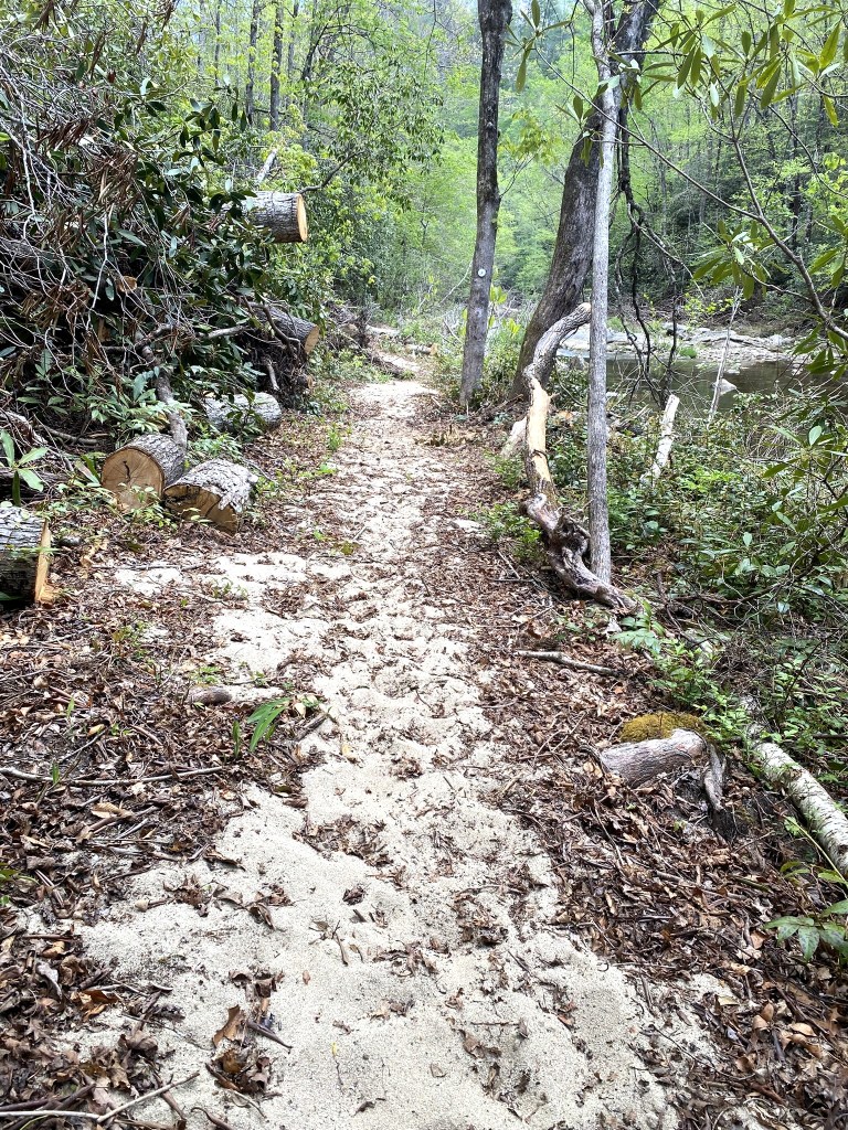
The river sand reminded me of all the beach-walking in Segment 18!
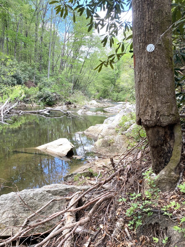
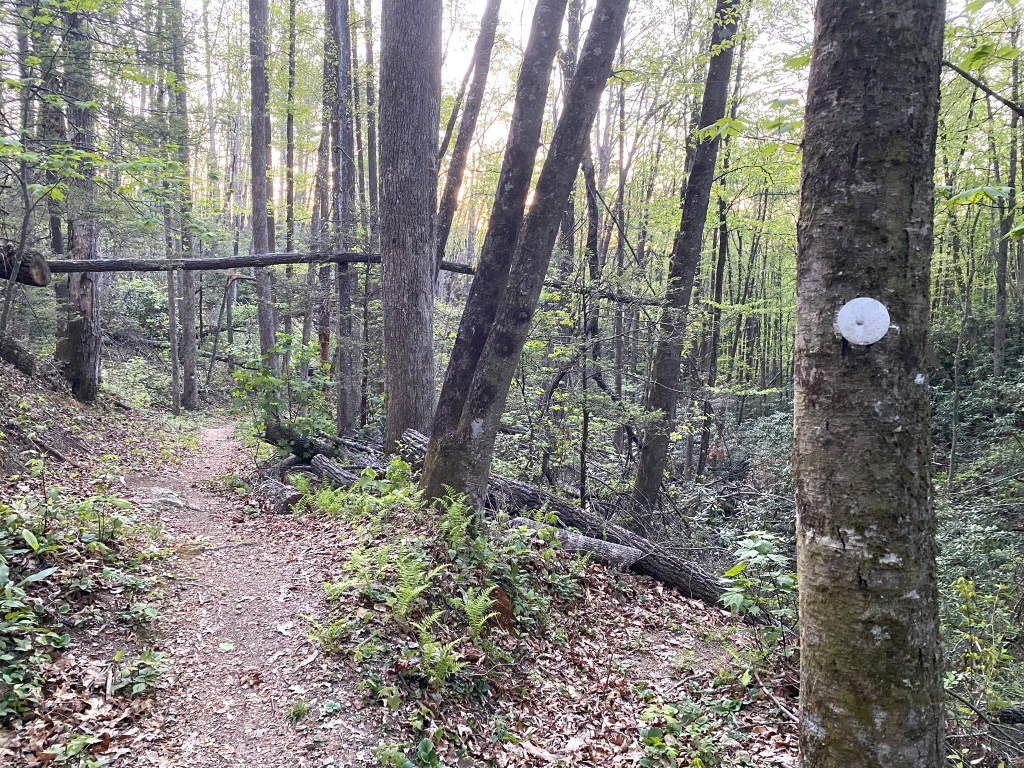
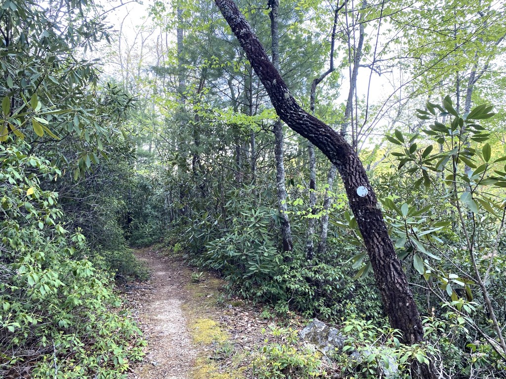
I wouldn’t have believed this was actually the “trail” except for that little white circle!
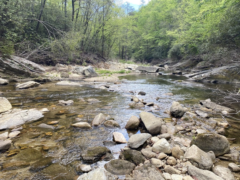
More rock-hopping. I had to wade three times, but otherwise I found a reasonable way to step across, like this “path” in the foreground.
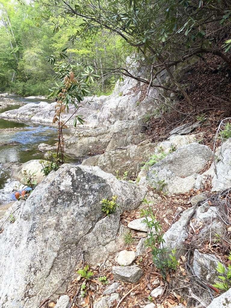
Yep, this is the “trail.”
And there were a couple of places where you walk over a log-shaped balance beam!
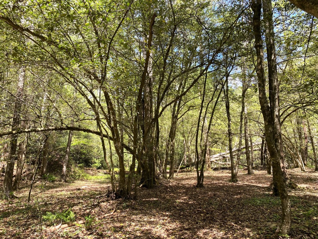
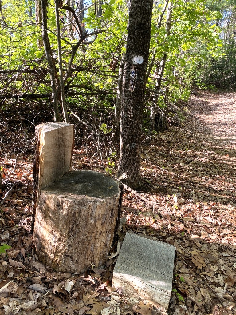
It was always a joy to traverse a nice, level camping area, like this one in the shade of mature holly trees.
My last rock-hop was at 11.5 miles.
The final mile was a steady ascent to Forest Service Road 464 (Old Mortimer/Pineola Road).
Loren told me that the next half mile of the MST on the gravel road was all downhill to the Hunt Fish Falls trailhead, so I threw my pack in the car, grabbed my Diet Coke, and took advantage of gravity.
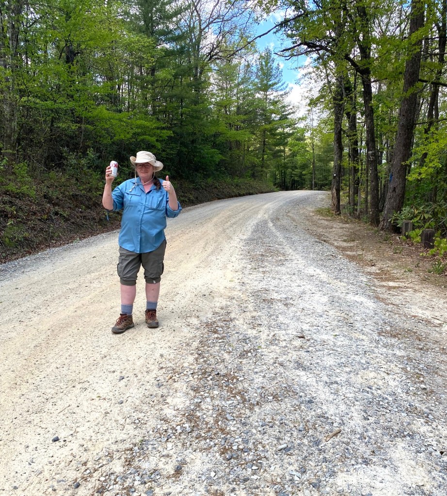
It was a pleasant way to end to a rugged, but exhilarating day of hiking!
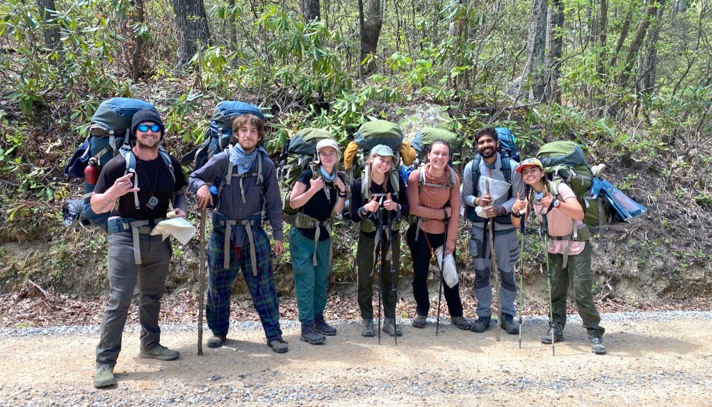
Meanwhile, Loren had come across this group of seven MST backpackers (on Day 45 of their through-hike). But they were off-route on the Forest Service road and headed….I wonder where, exactly. It would have been at least ten miles to the nearest store or facilities. But maybe that’s nothing for those young legs!

Dear Mary:
I am sorry that I waited so long to view this! I found Newland, closeish to Tennessee.
Thank God for those volunteers who are still working to clear wilderness walkways (from Helene).
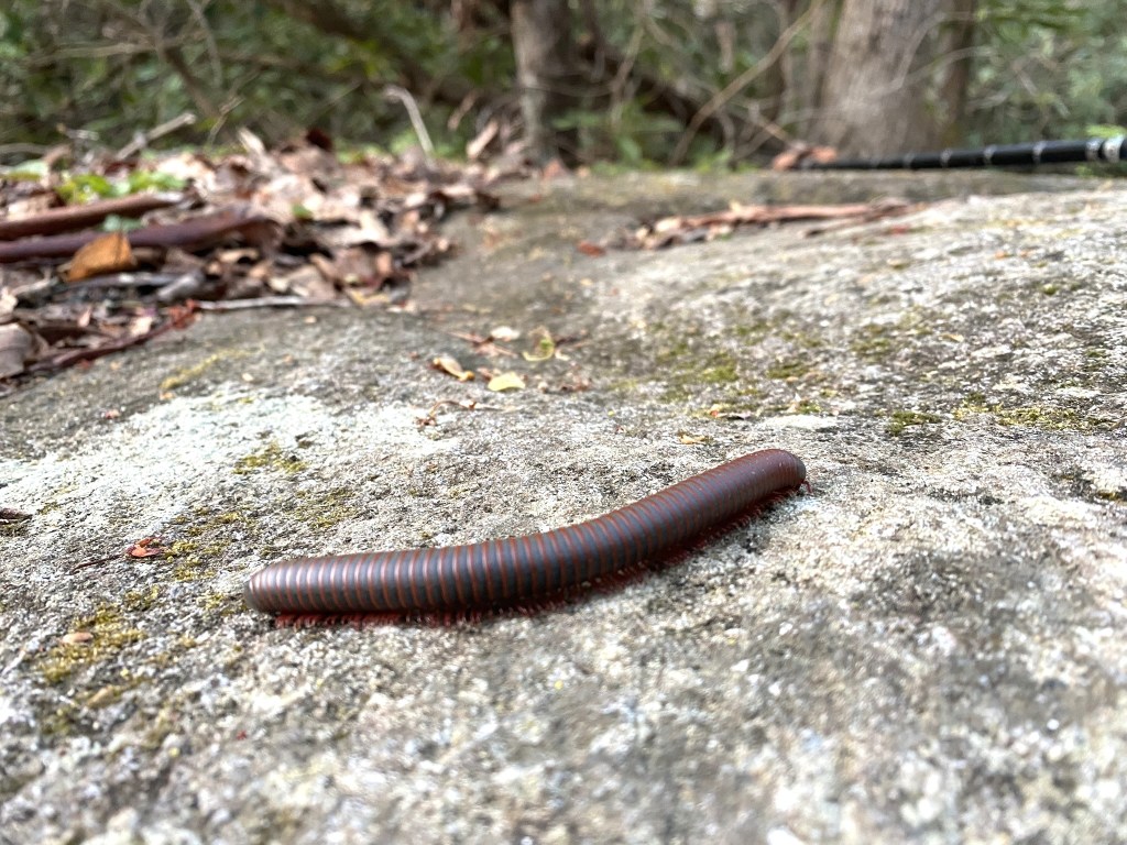
Bear scat!
And, I have often heard of Mountain Laurel, Thanks for the sight! A pretty big blossom!
I send your column to a TX friend, who loves them, but has physical challenges to “do them”. And, how heartening to see those nine young folk, on day 45?
Sharing in God’s grace,
Lorraine Boyd
>
LikeLike