Baptist Road parking lot to Boyce Mill Road

This was my longest hike yet, at 10.5 miles.
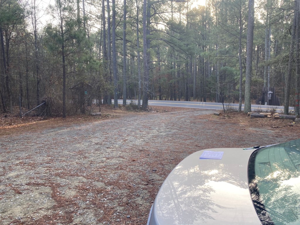
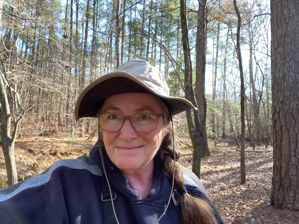
I started nice and early, at the Baptist Road hiker’s lot just outside the entrance to Rolling View Recreation Area.
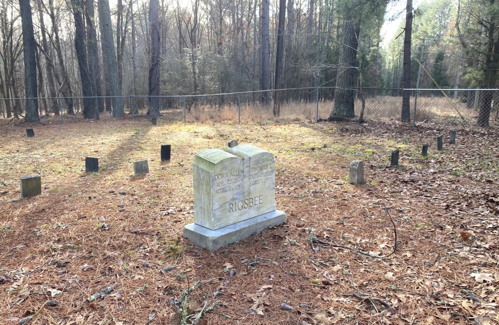
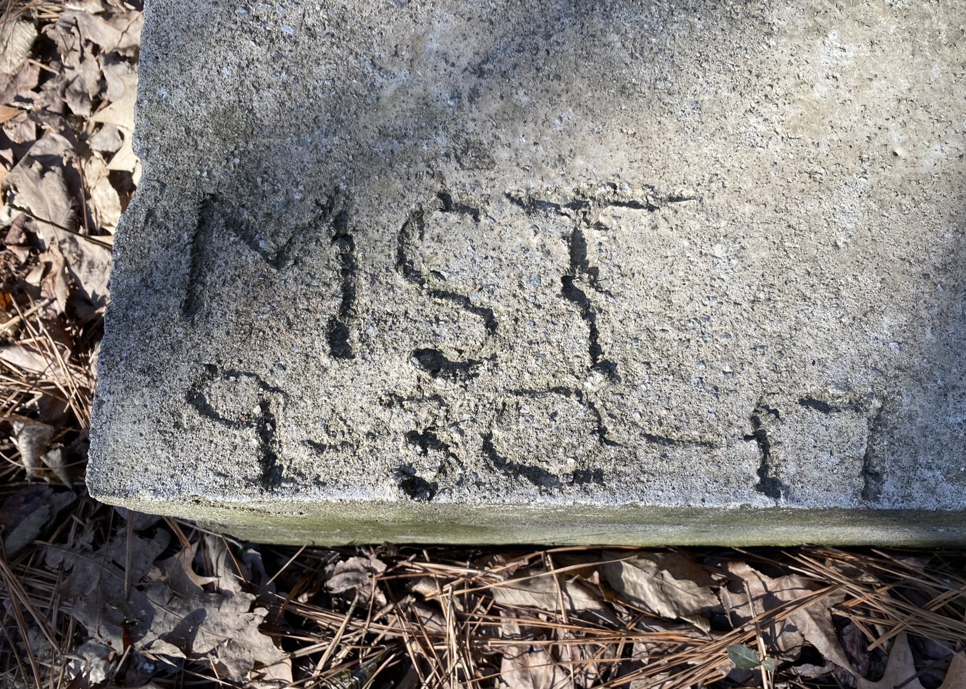
A Rigsbee family cemetery. I bet that this Thomas Rigsbee was related to Jesse Rigsbee, whose farm property was sold to Duke University in 1925 for $1000 for its west campus expansion. There is a quarter acre preserved for the Rigsbee cemetery on campus.
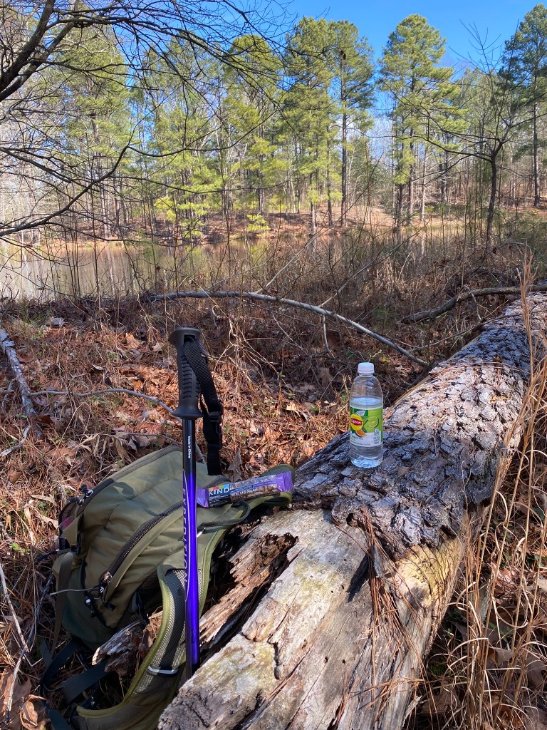
Sometimes I’ve been hiking for five minutes and realize I’ve left my walking pole in the car, and so back I go for it. It’s invaluable for creek crossings!
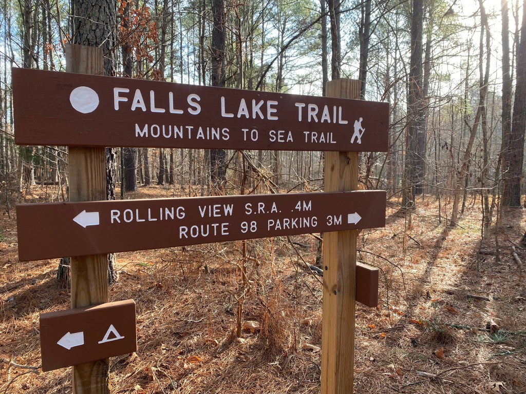
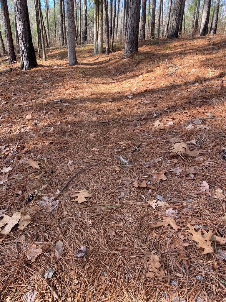
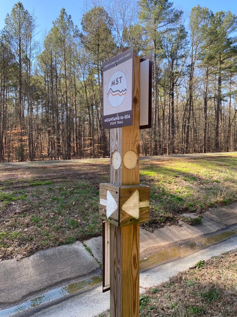
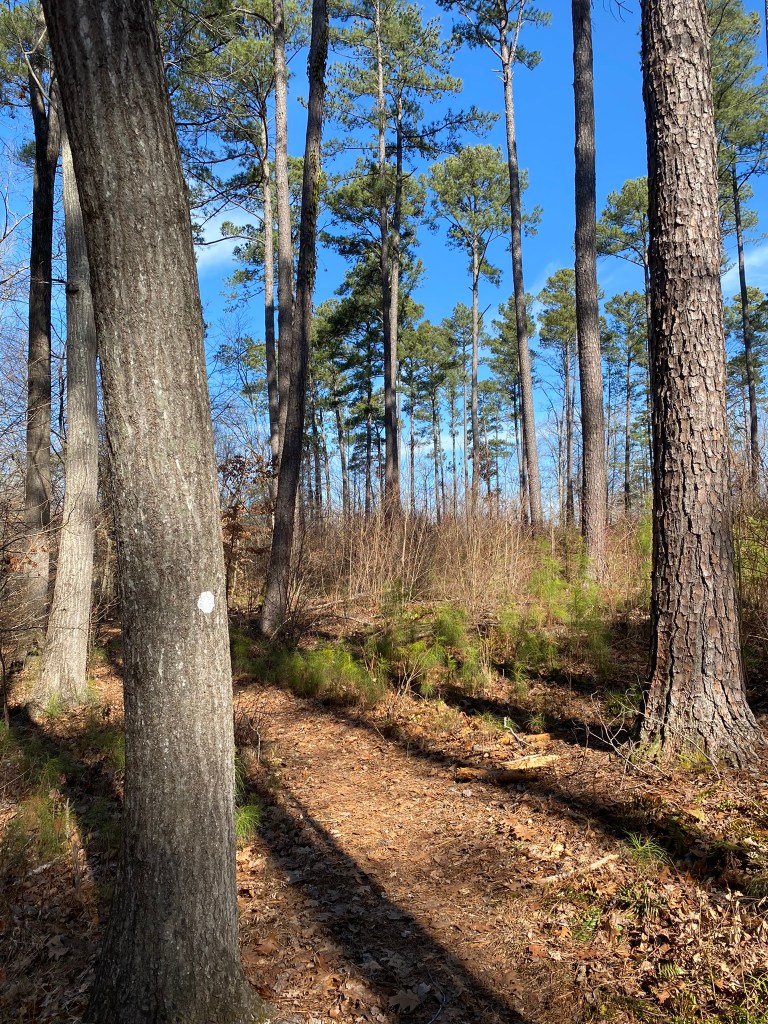
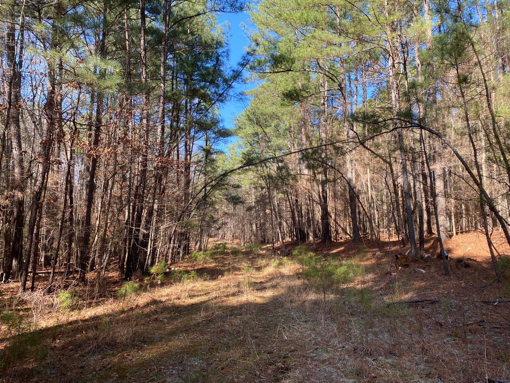
The first .3 miles was on a connector trail from the parking lot, so here I am now on the MST. I’ll be going further than the Route 98 parking–another 1.5 miles east.
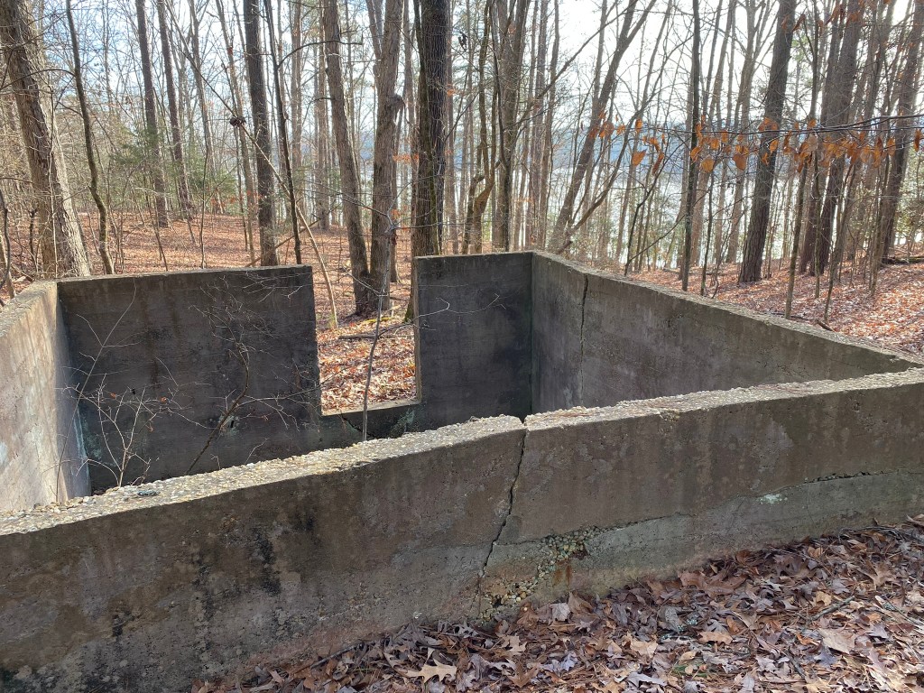
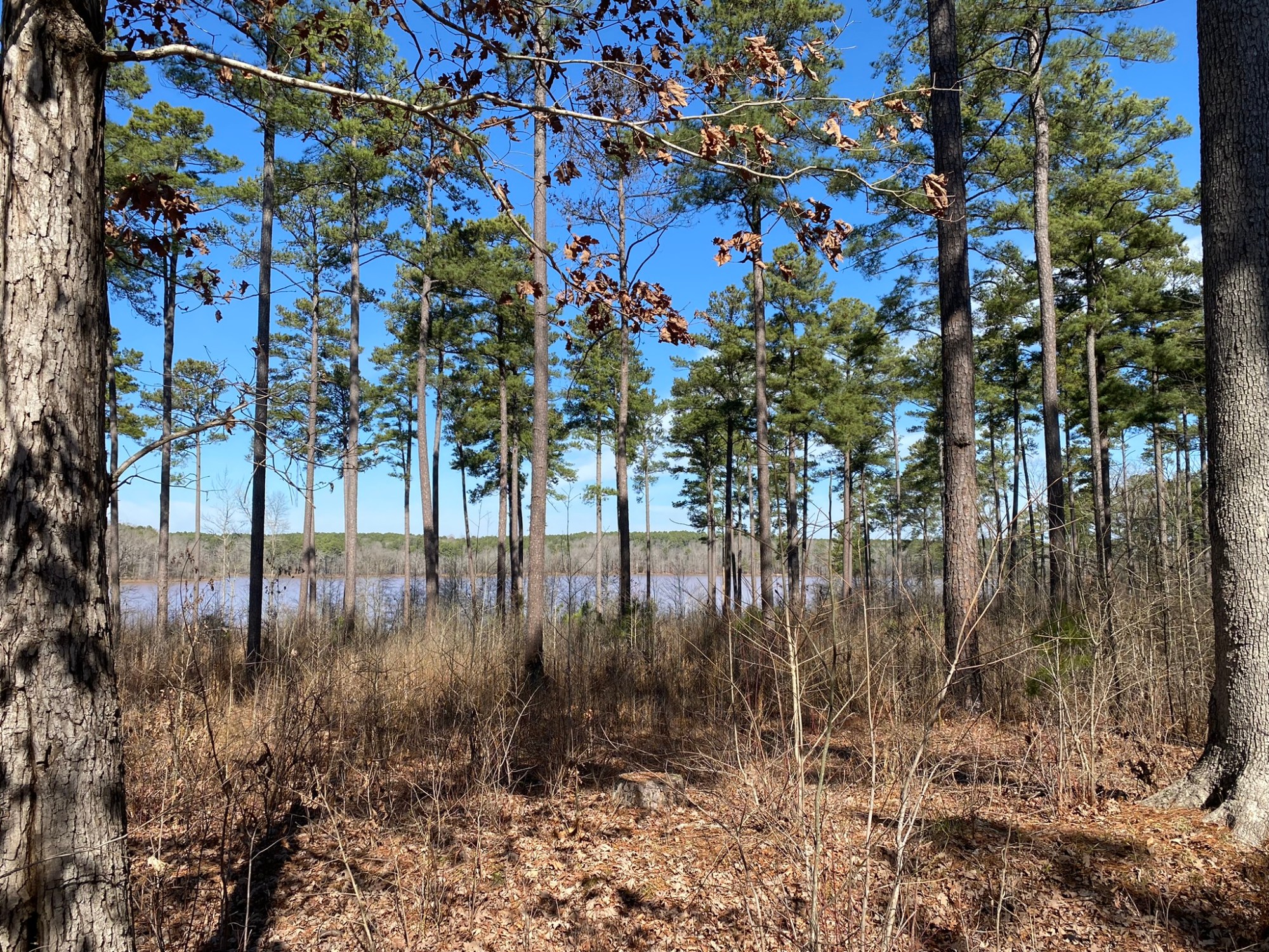
Abandoned building, with a terrific view of the lake–at least in winter. I think this was originally built by the US Army Corps of Engineers. There’s an old road from here that follows their boundary line, leading uphill to the parking lot–and I’ll take that shortcut when I return.
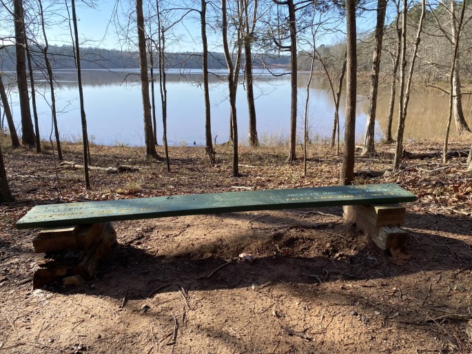
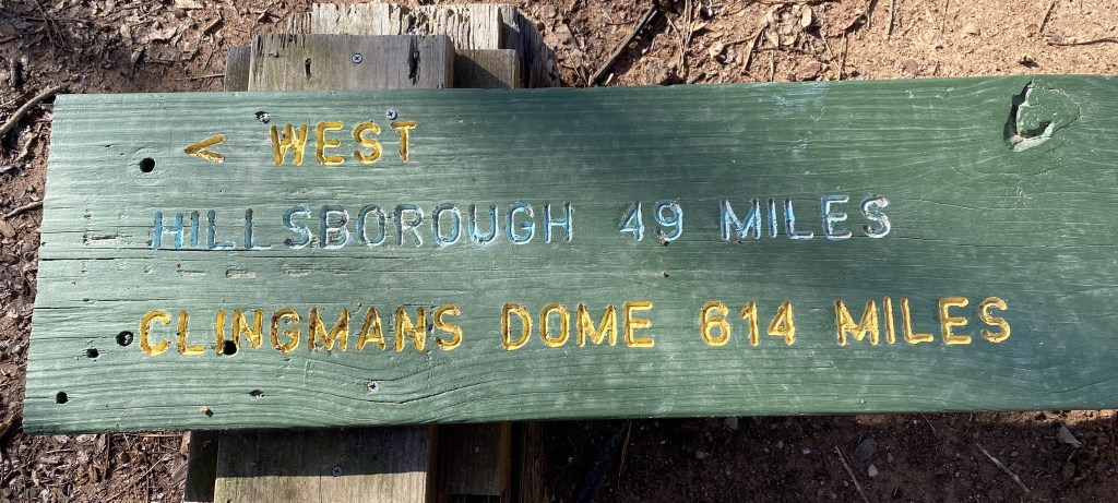
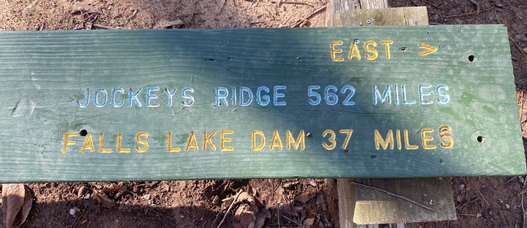
As you can see by the information on the bench, I’m about halfway between “The Mountains” and “The Sea.” 614 miles west, and 562 miles east.
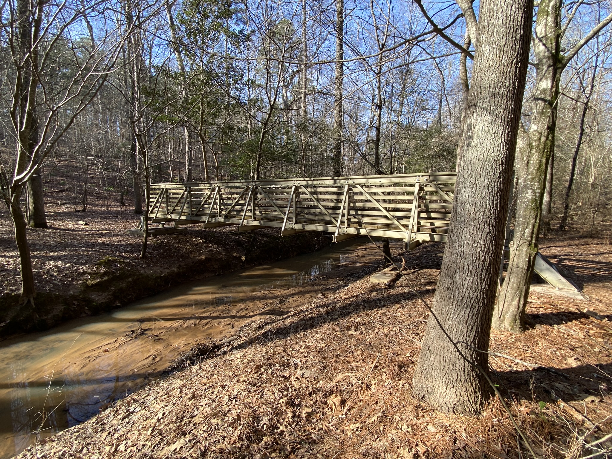

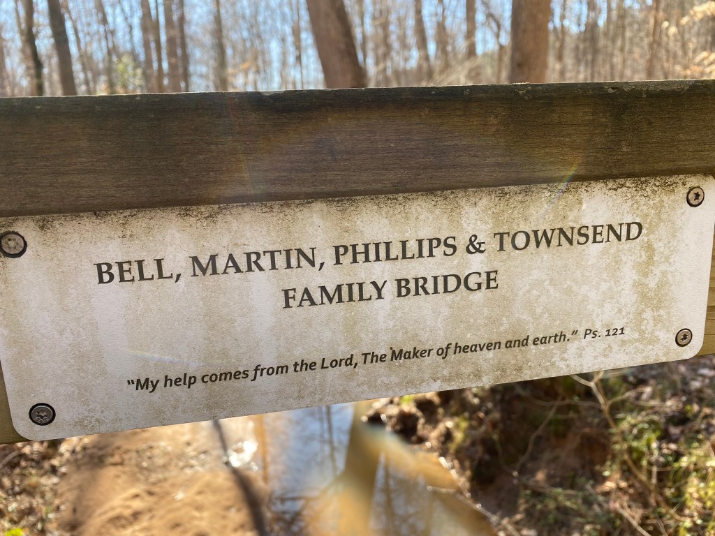
Hard to imagine the lake water being high enough to cover this bridge!
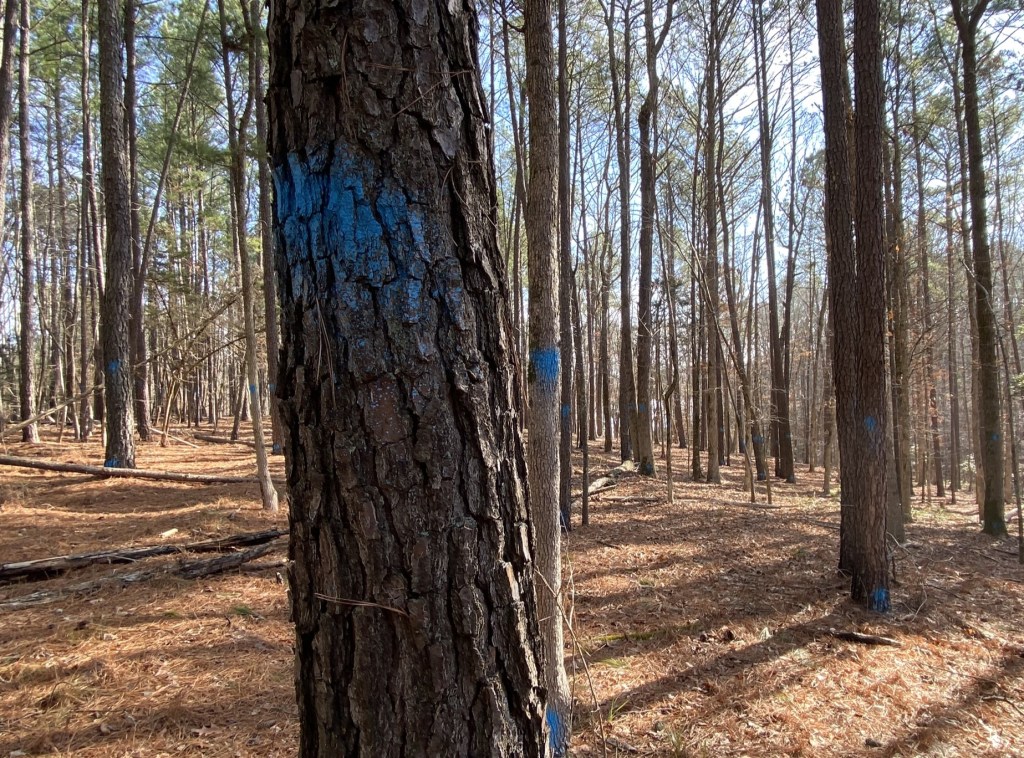
Supposedly blue paint marks property lines, but there were so many trees that were marked, all spread out in this section, that that doesn’t make sense.
‘Tis a mystery.
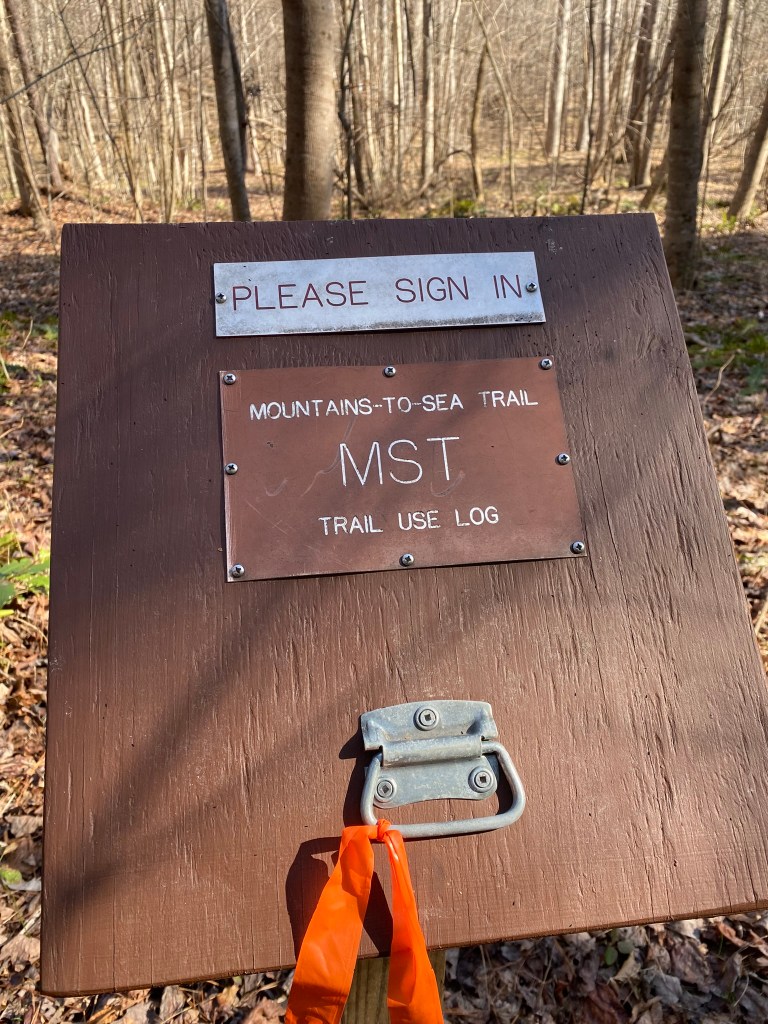
This is the first trail log I’ve encountered. I’m happy to add my information….
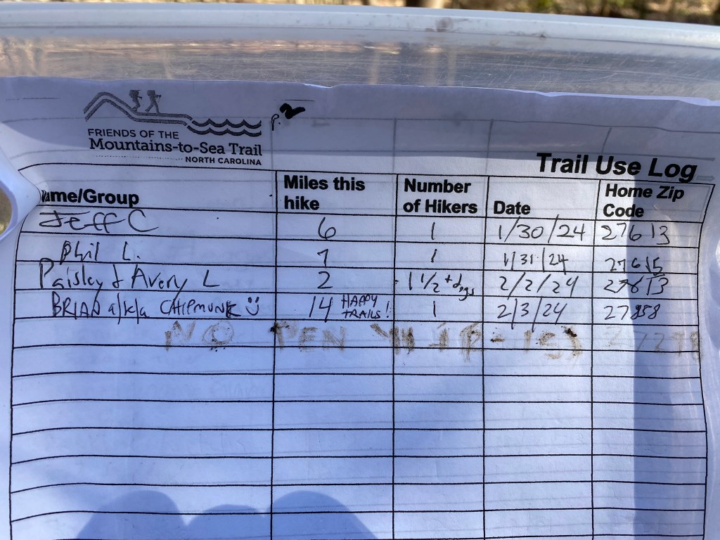
….except BRIAN, aka “CHIPMUNK” apparently took the pen with him!
I did my best with a muddy stick.
I was dreading this portion, because it’s now a quarter mile along Highway 98.

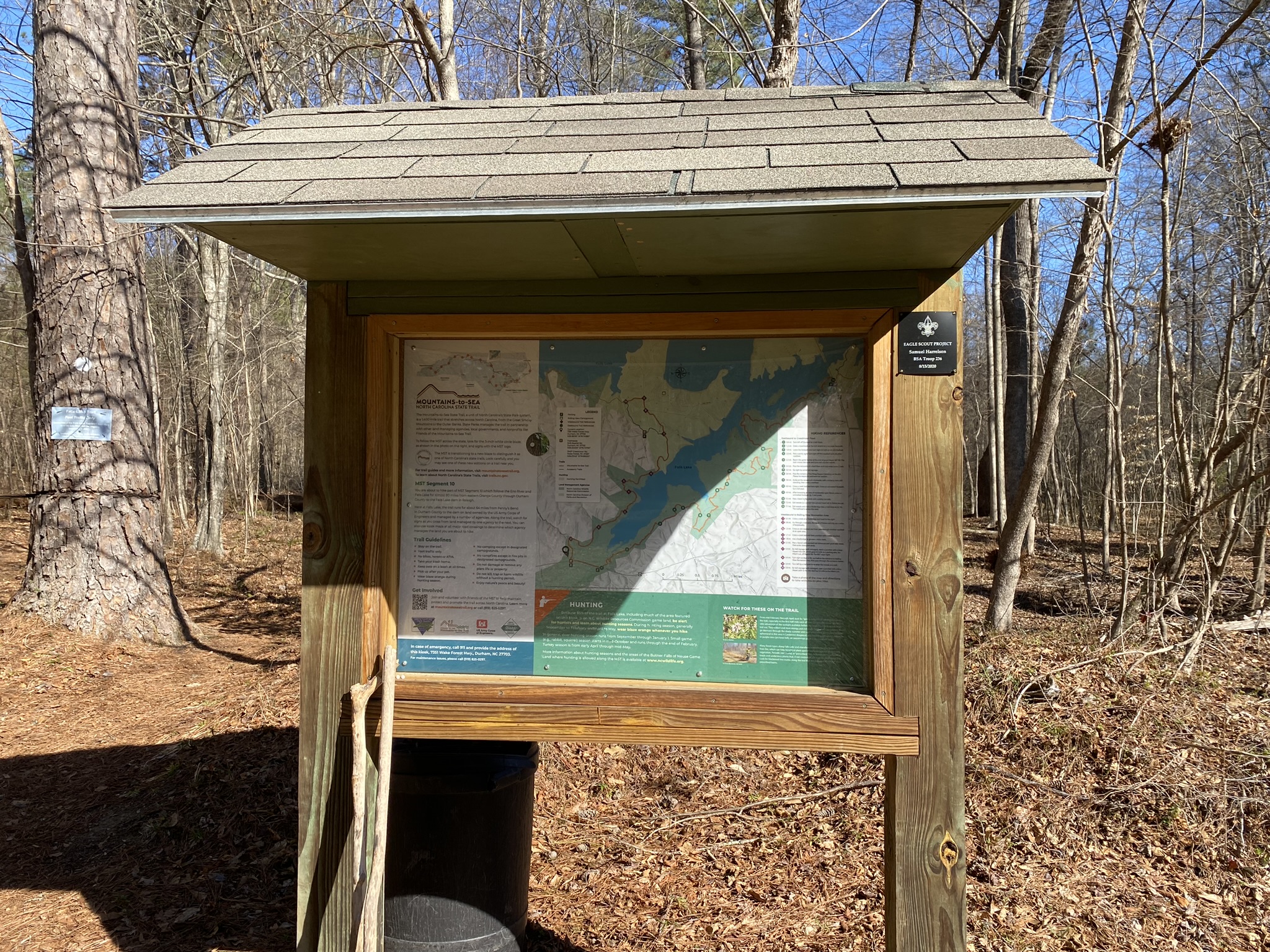
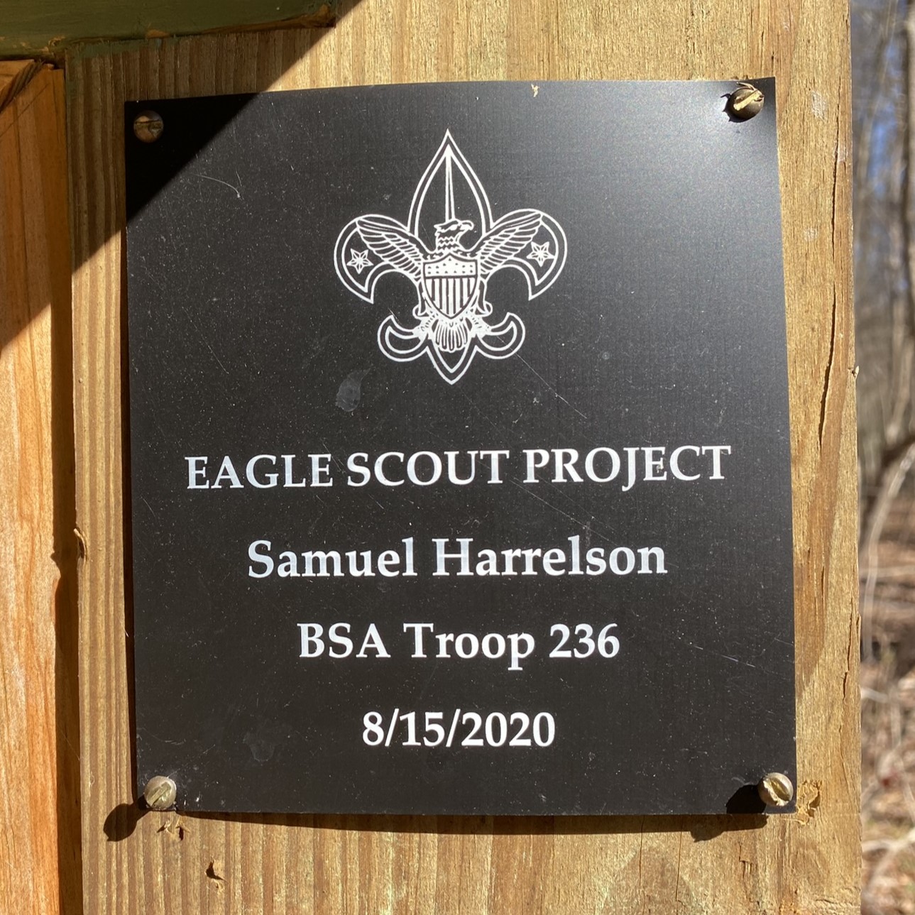

Thank you, Samuel and Ryan, for the kiosks on either end of the highway section.
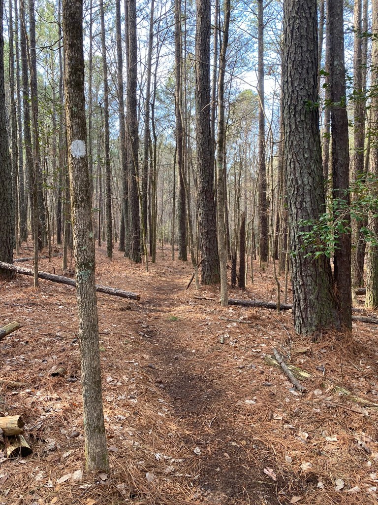
The last 1.5 miles outward were quite pretty, and surprisingly birdy.
I saw my first MST Fox Sparrow. . .
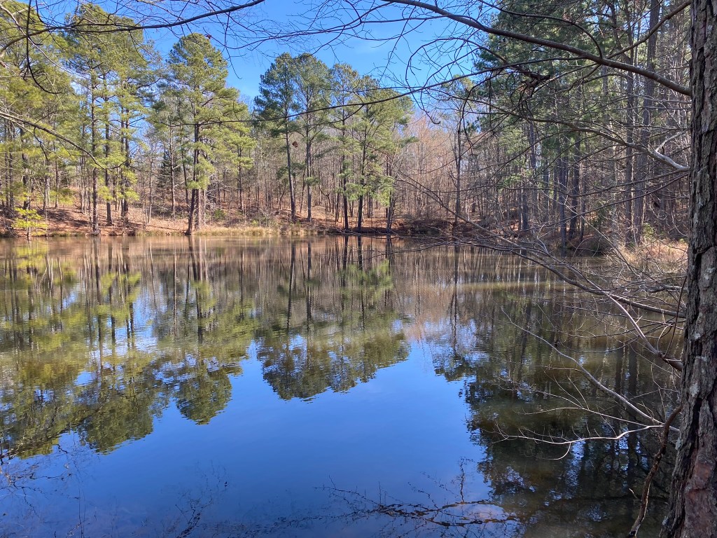
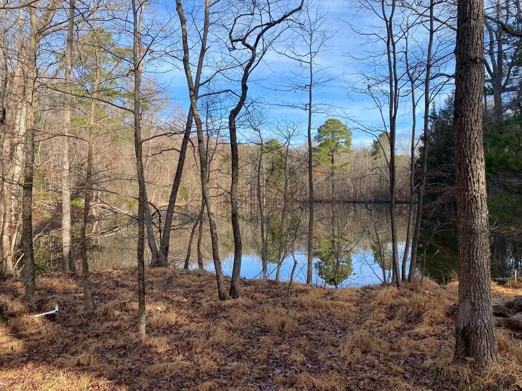
. . . and two Wood Ducks flew out of this pond as I approached.
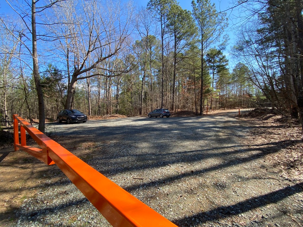
Turnaround point at Bryce Mill parking lot.
But that’s no place to rest, so I backtracked to the Wood Duck Pond.
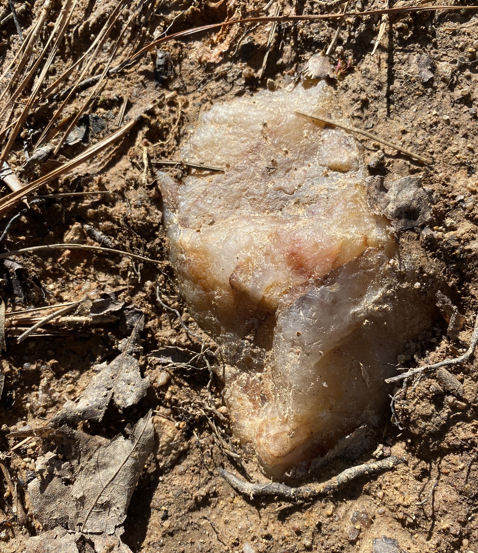
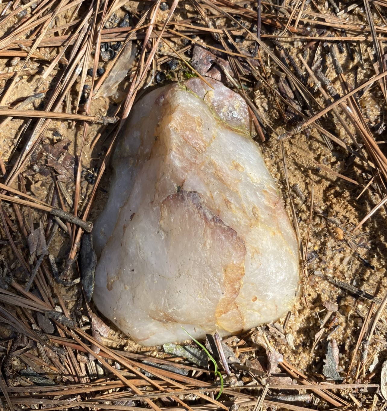
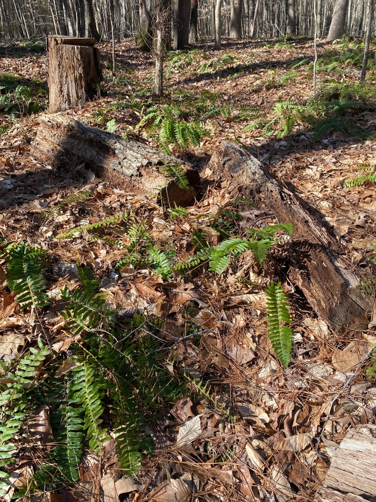
On the return trip, while retracing my steps, I talked to God, read a devotion from “Valley of Vision,” and paused to notice some smaller beauties along the way.
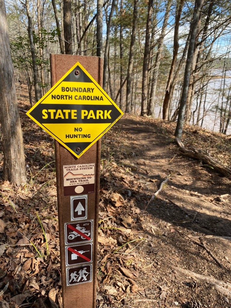
North Carolina has a wise mix of state parks and gamelands, I think. I’m not a hunter, but I respect the activity. And hunting license fees help support all conservation efforts. I don’t pay anything to walk the trails!
I left the MST to follow the abandoned Corps of Engineers road up to the parking lot.
Phew! I was tired!!!
10.5 miles might be my limit…..except I know that the next hike will be over 11 miles!

I finally figured out, that the first parking lot was 10 miles from the second parking lot. Who drove it there?
LikeLike
No, the second parking lot was about 5 miles from my car. I don’t want to obligate a second driver each time I hike, so I’m doing them all as out-and-back hikes. Then the NEXT time I hike, I park where my turnaround point was for the previous hike. So my 10 miles was the total I hiked–but only 5 miles progress on the MST. I’m basically hiking it twice!
LikeLike