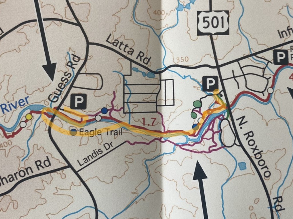
Guess Road to North Roxboro Road
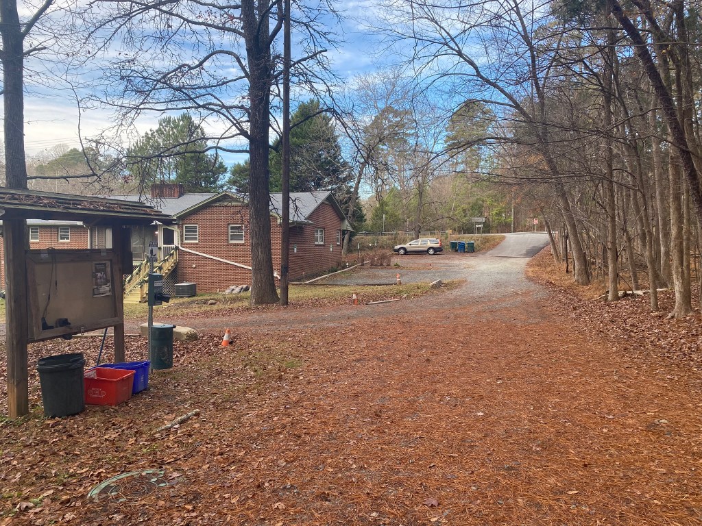
The MST trail is located just on the other side of the Eno River Association’s driveway in the photo, but Guess Road is 4 lanes wide and remained steadily busy with traffic, so I took the longer, safer route on trails.
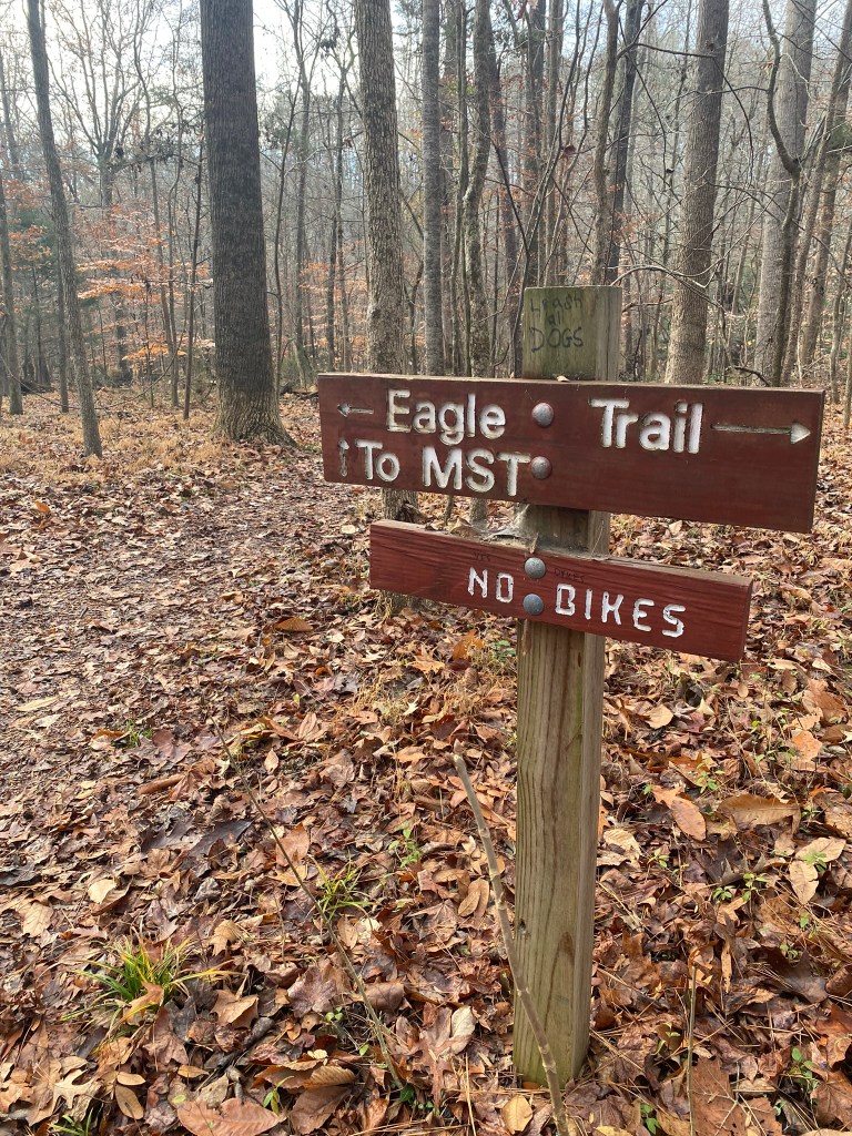
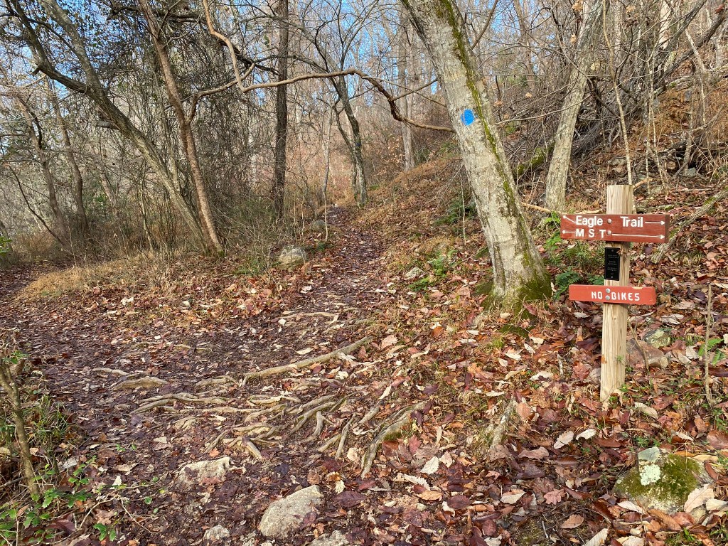
The Eagle Trail spur added .2 miles, and then I had to hike WEST on the MST to get back to where I had left off last time.
Ok! About face, and retrace those steps, now heading east.
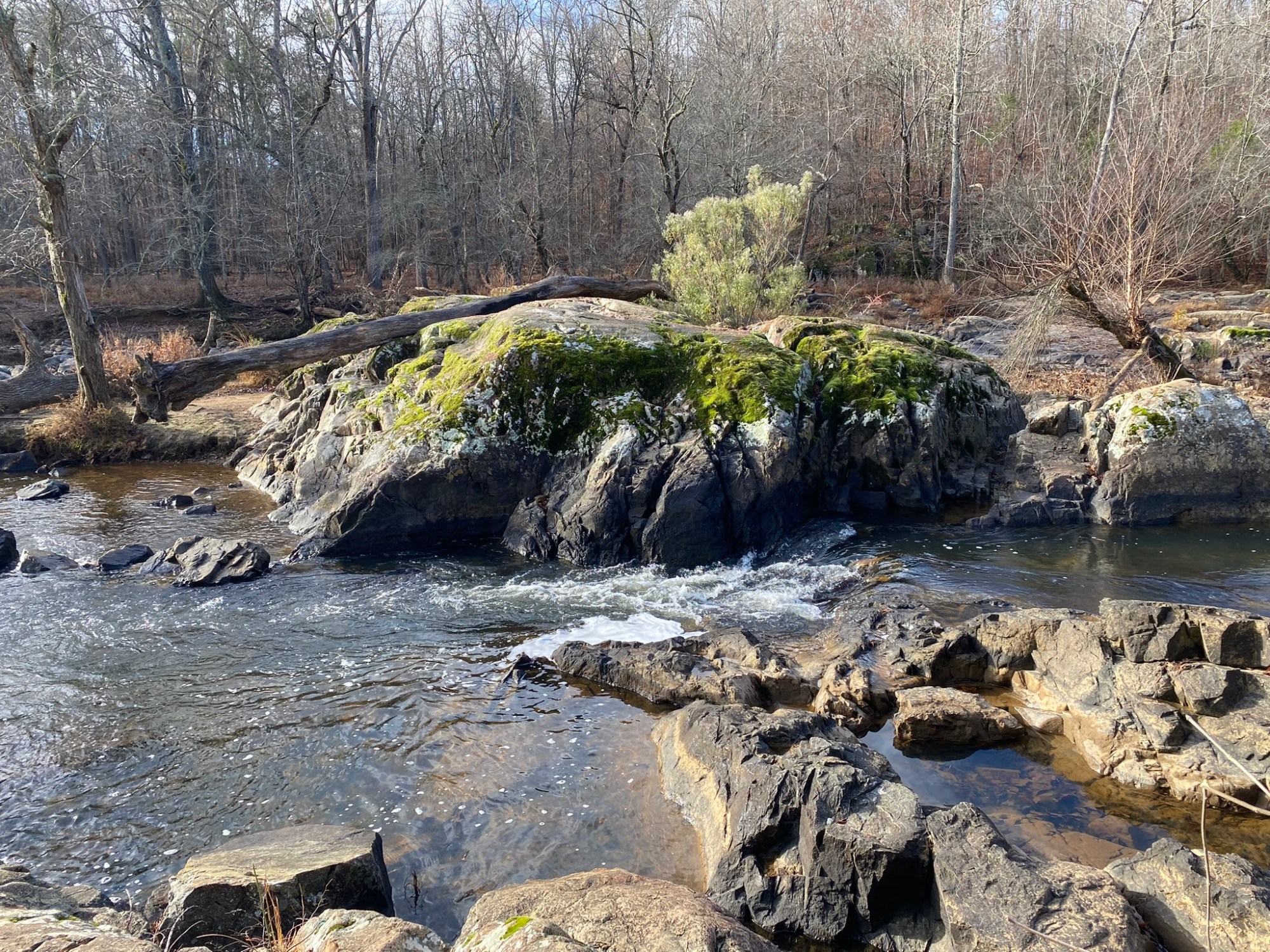
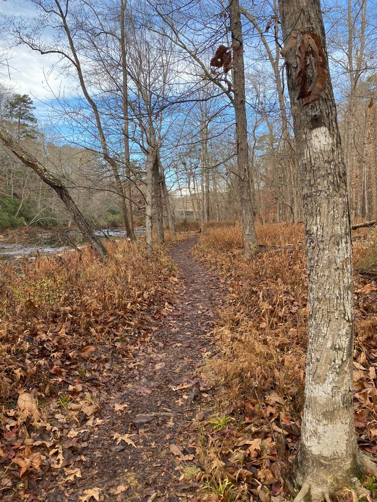
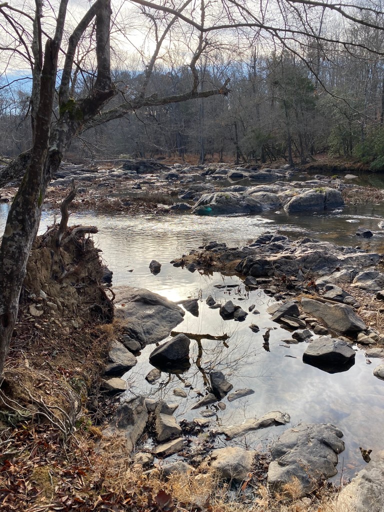
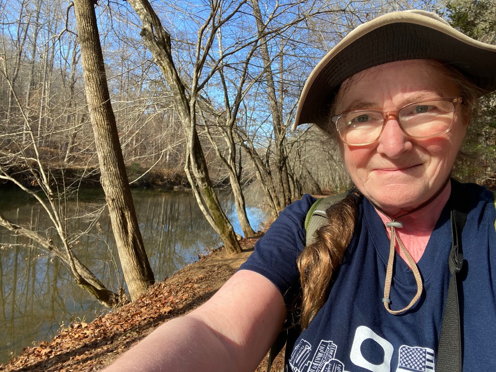
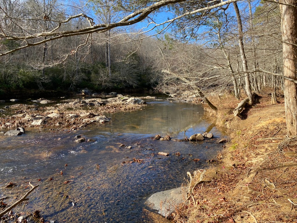
It is a beautiful day in early December, and the Eno River is a charming companion for a hiker.
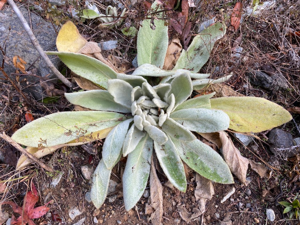
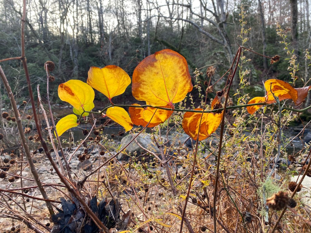
Great Mullein is not a native plant, but it doesn’t spread easily and is supposedly good for respiratory ailments.
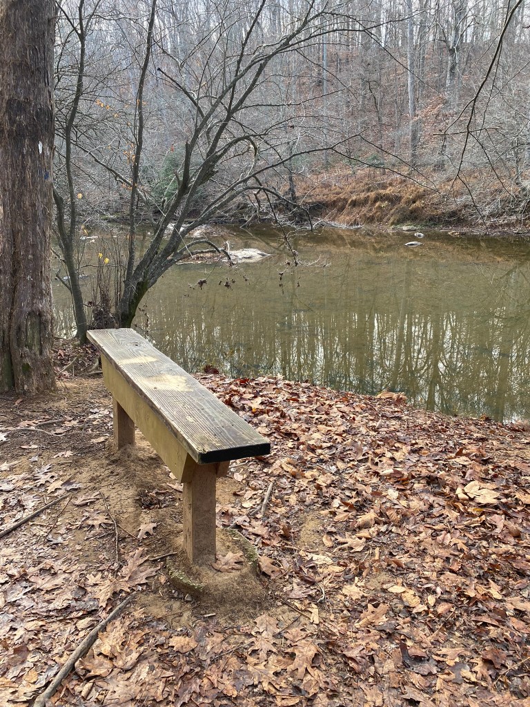
A bench for rest and reflection.
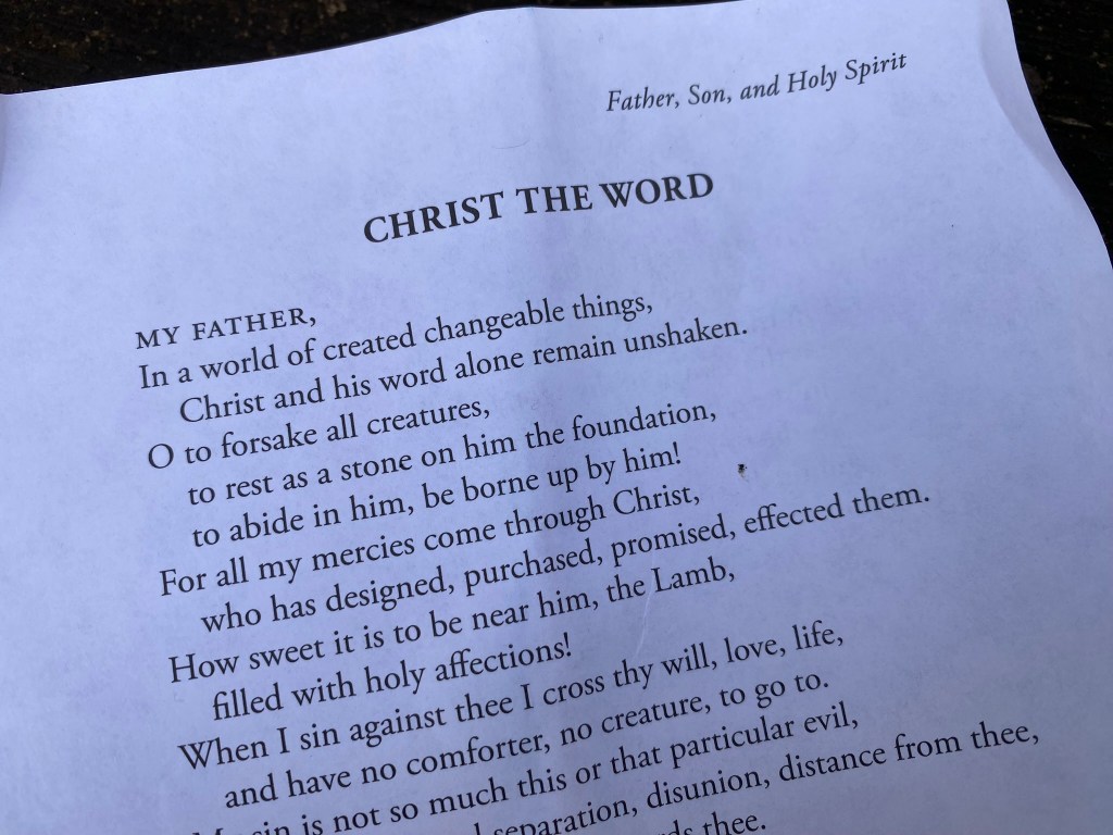
I bring along material for meditation while I hike, so I am prepared!
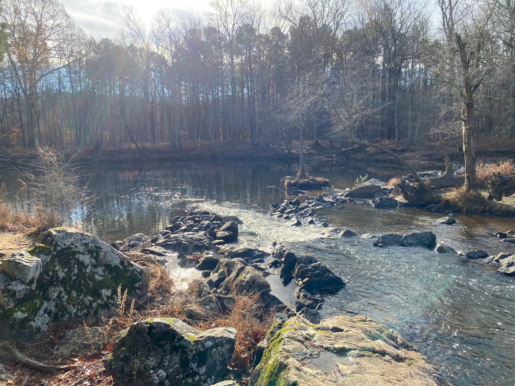
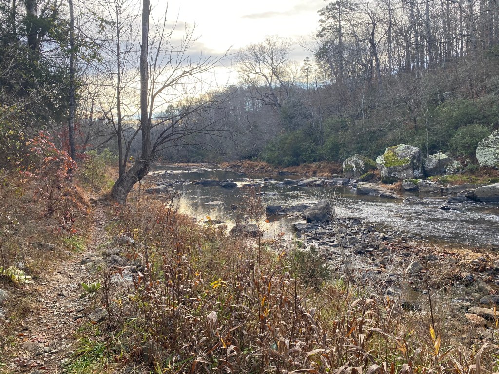
Sennett Hole is a popular swimming hole in the summer.

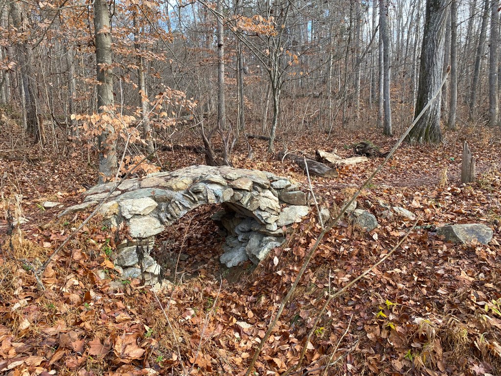
Someone left some books on the fireplace hearth!

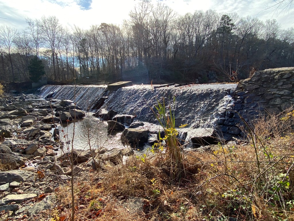
Near my turnaround point, the Eno River roars over this dam at West Point Park.
Roxboro Road is straight ahead, the MST heads off to the right, and my next parking place is a little ways up to the left. Mile 10.3 on the MST!
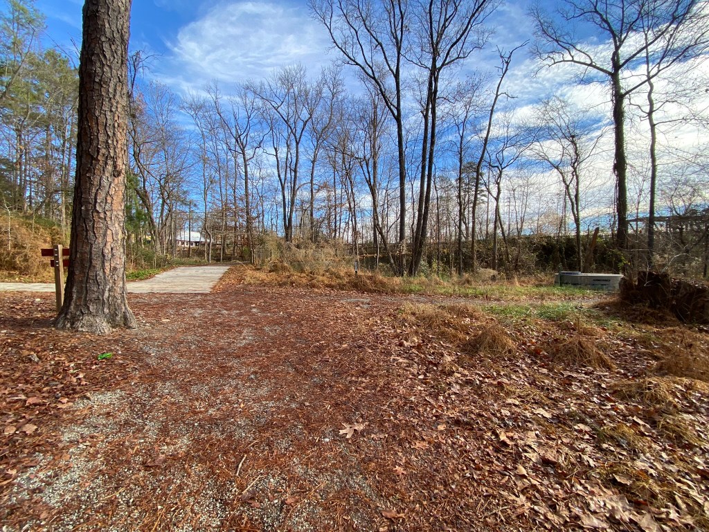
I head back to the car on the Eagle Trail, which doesn’t save any steps, but offers a slightly different view.
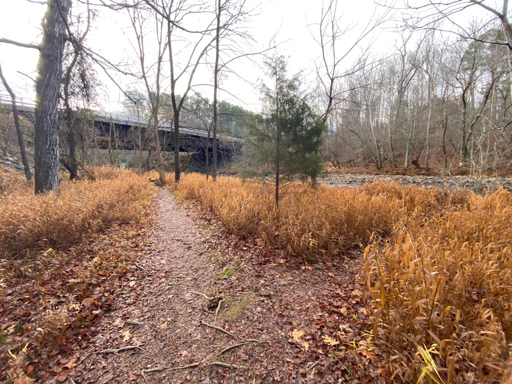
But it ended up being nowhere near as nice as hiking along the river!
I have only one more river-side hike, before continuing east on Falls Lake Trails. I’m going to miss my sweet Eno!

it looks like you are alternating from being on the MST and continuing to find the high point of NC counties.
LikeLike