Hickory Hill Boat Ramp to Hereford Road Trailhead
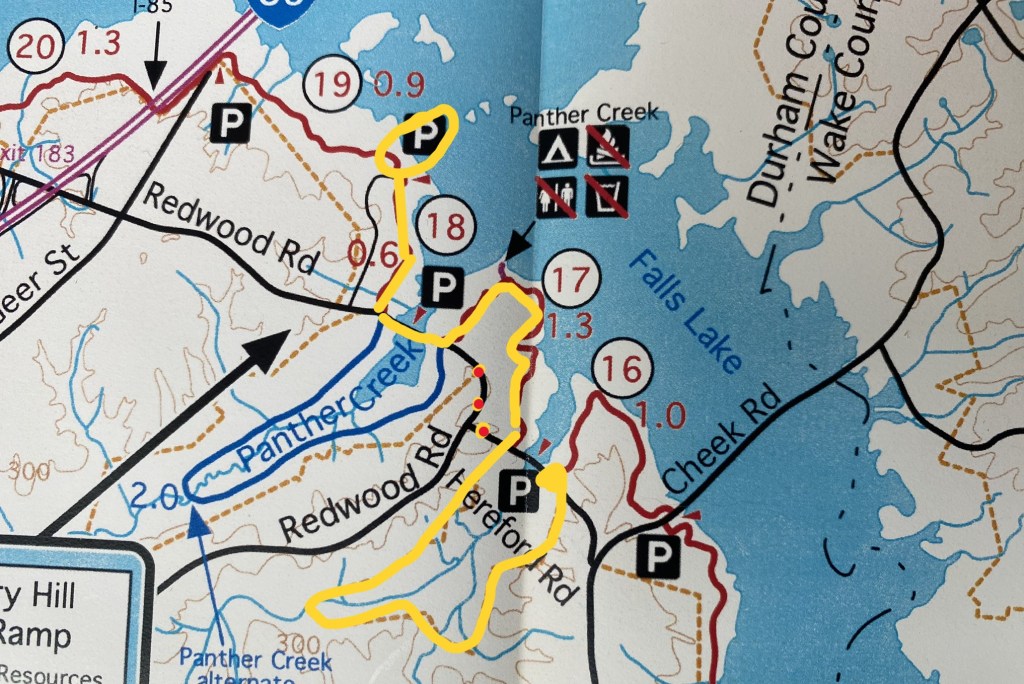
My original goal was the Cheek Road Trailhead, but this hike didn’t begin until 11:30am because of a doctor’s appointment, so that last mile didn’t happen. I’ll have to add it to the next hike.
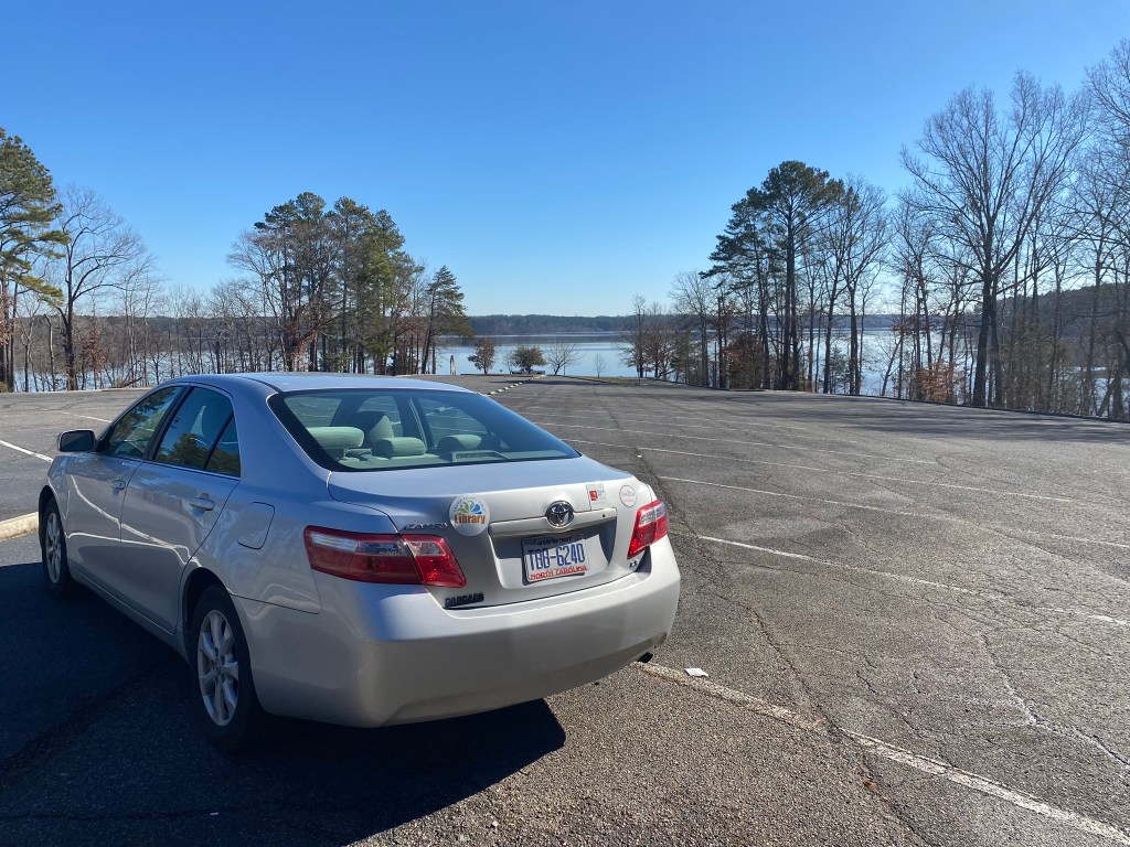
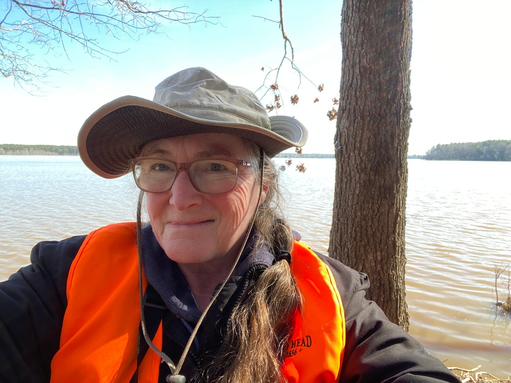
No other cars at the Hickory Hill Boat Ramp, and I never saw anyone out on the trail, either. Sunny, but pretty cold. It’s now January, 2024!
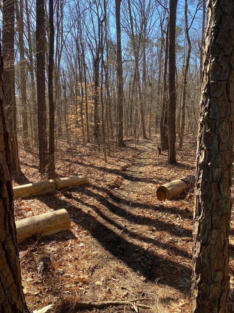
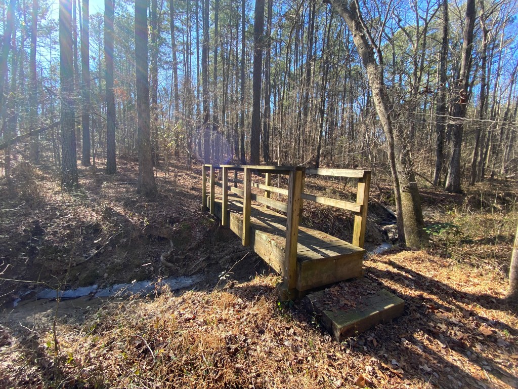
I’m grateful to all the MST trail volunteers who keep the trails clear of fallen trees and the bridges in repair.
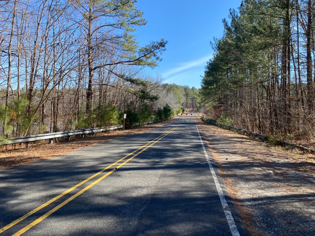
A short stretch along Redwood Road crosses the mouth of Panther Creek.
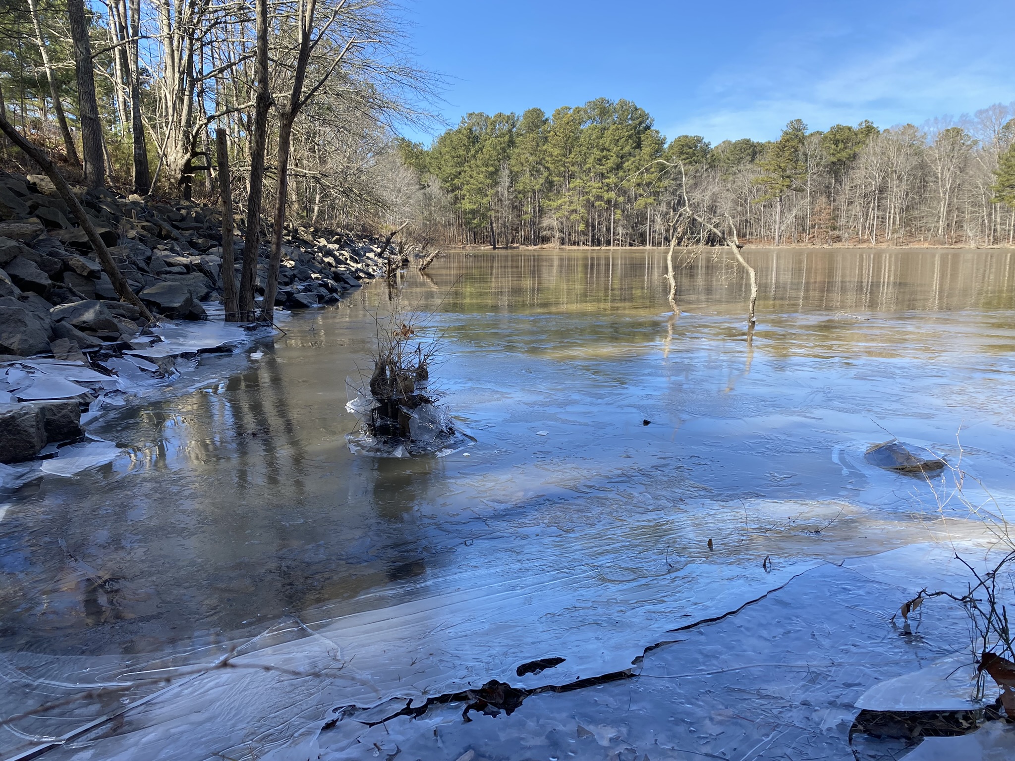
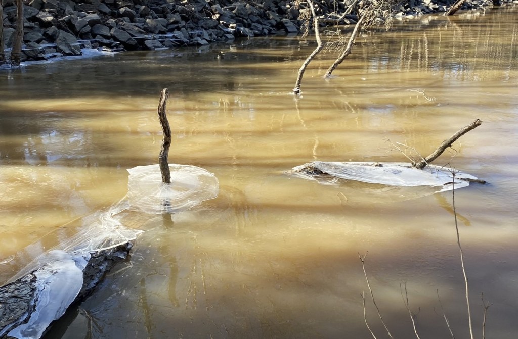
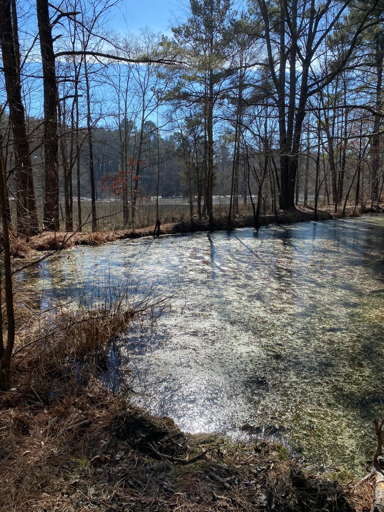
Ice sculptures left by receding lake waters were interesting, so I made a short detour down to the shore for these photos.
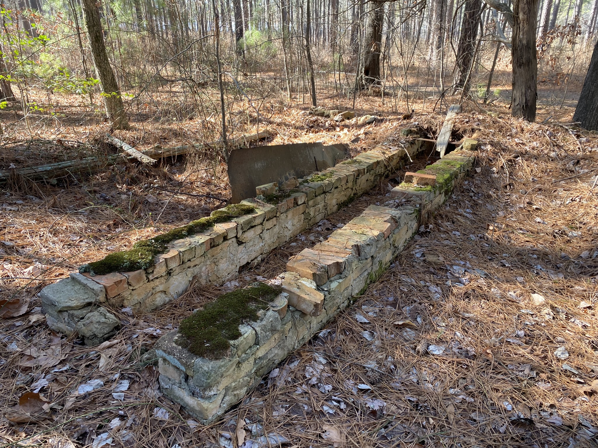
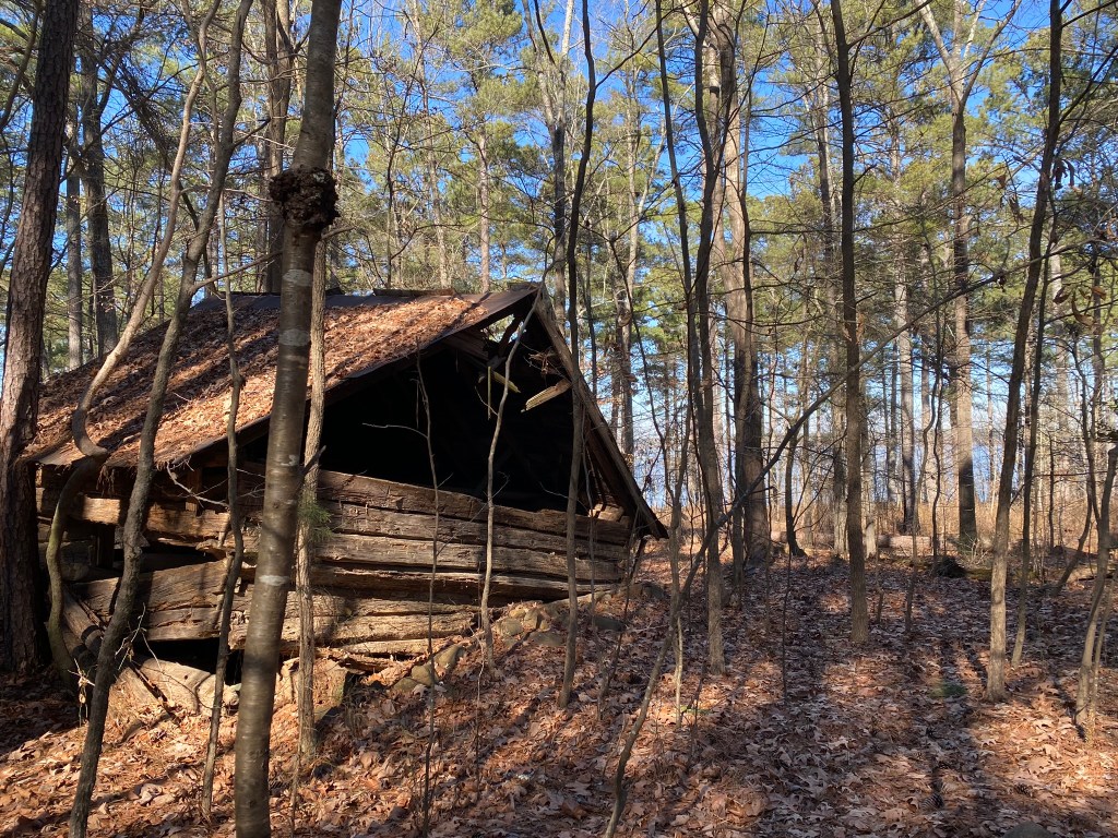
Various abandoned structures in the woods. Maybe animal shelters? The first one looks like a trough.
They work hard to help you out at any tricky junction with other trails or roads. Despite that, I did get off-route today. I ended up in an open field without a clear sense of what happened to the trail. After searching for the familiar white dots without success, I simply back-tracked out of the meadow back to the woods where I had come from…and quickly found the turn I had missed.
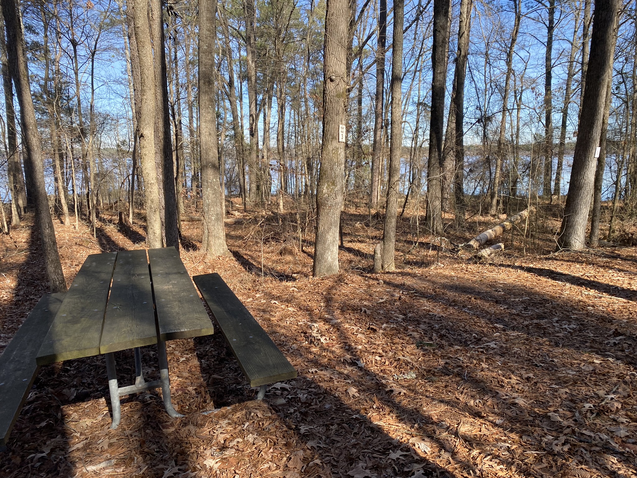
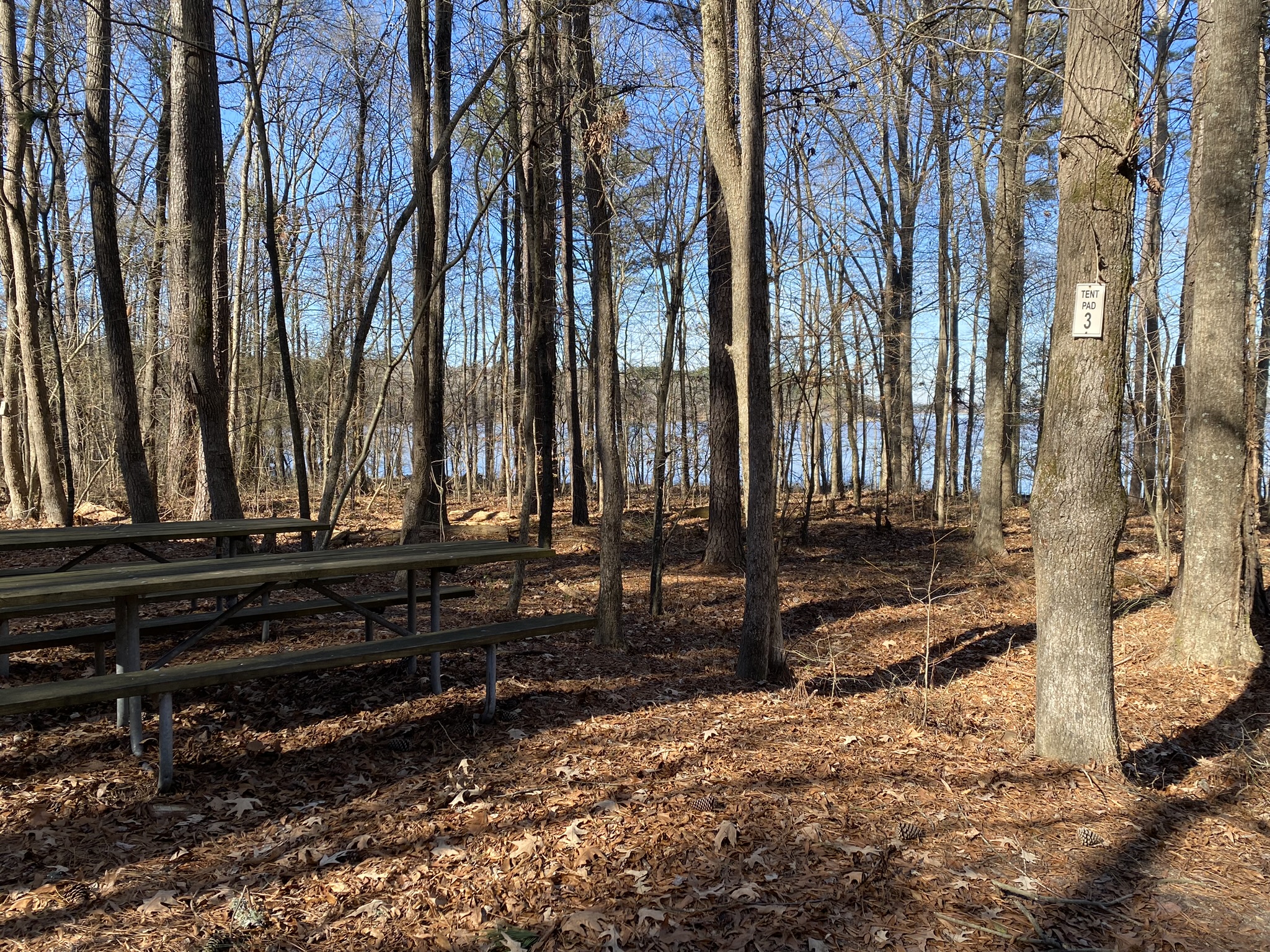
This is a small camping area for through-hikers. So pretty, next to the lake! Makes me sorry I’m not back-packing!
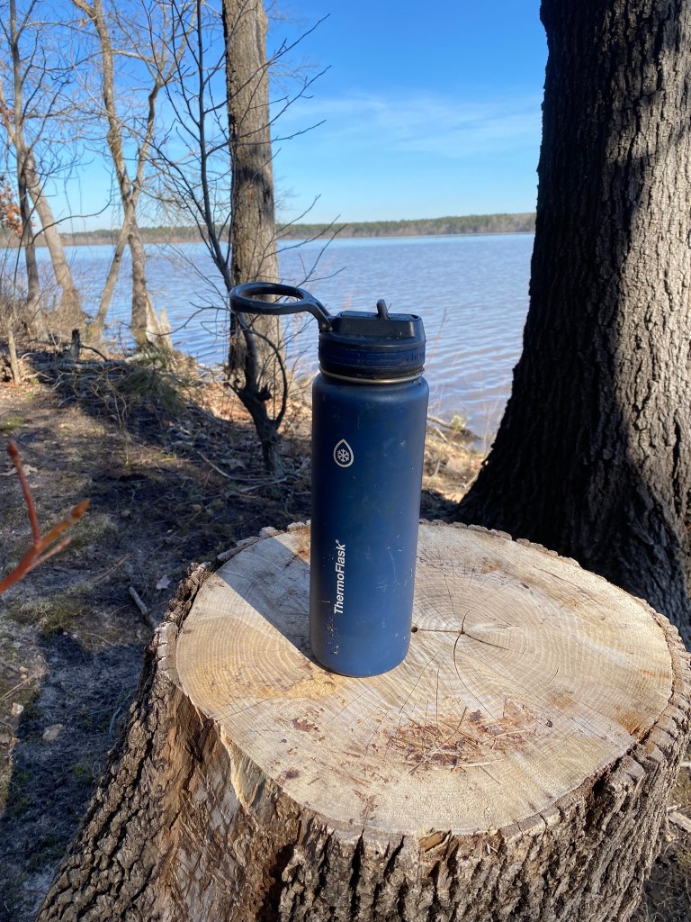
I brought this orphaned water bottle home with me.
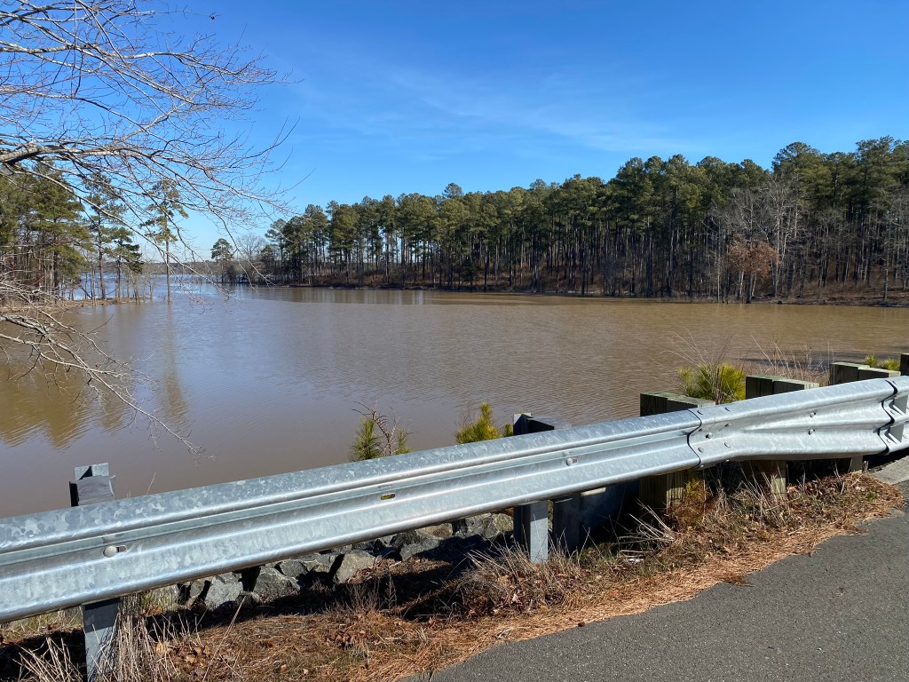
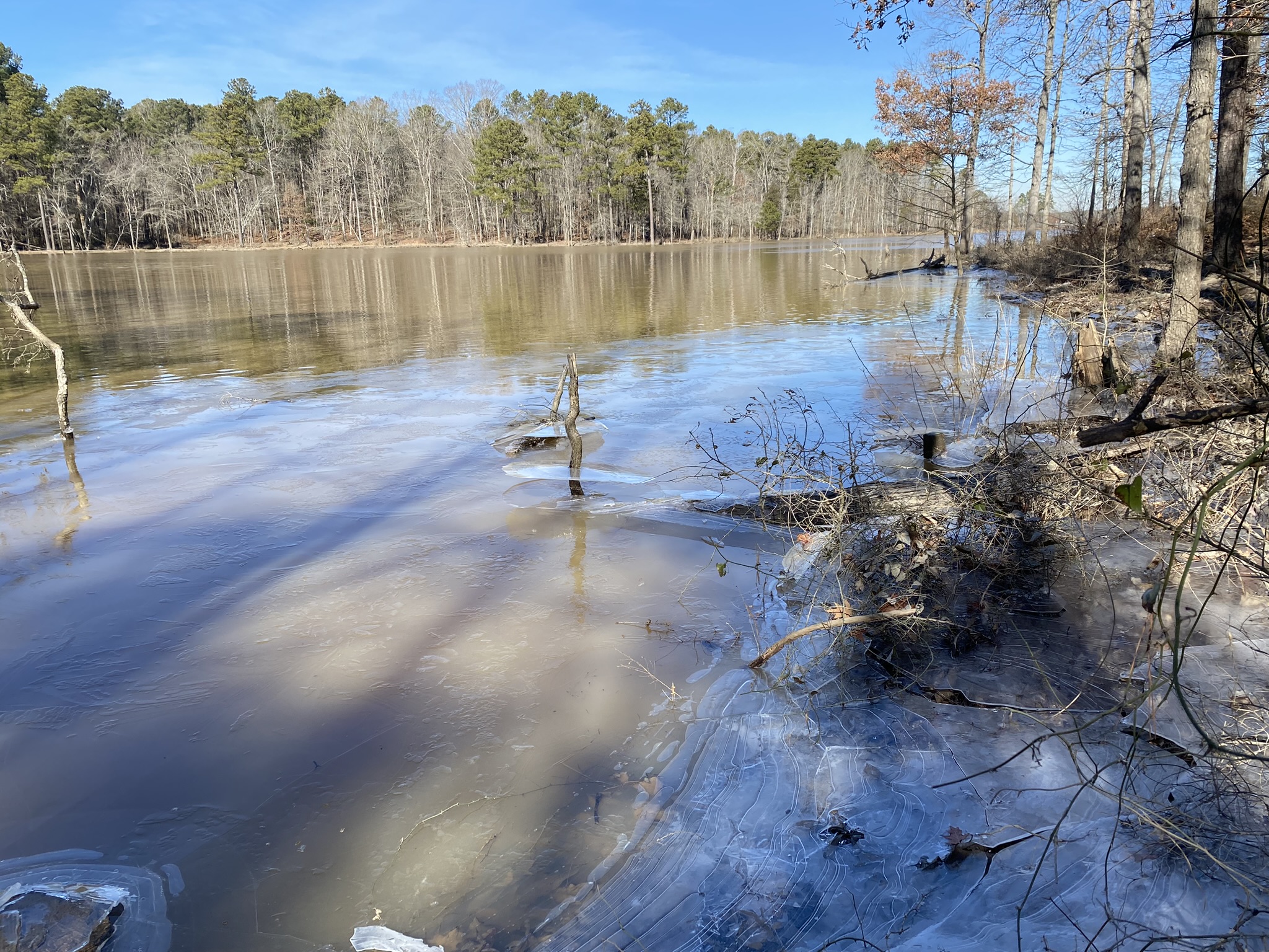
One of the widest expanses of Falls Lake. It gets narrower as I continue further east.

The MST used to turn here to follow Hereford Road across the next inlet, but…
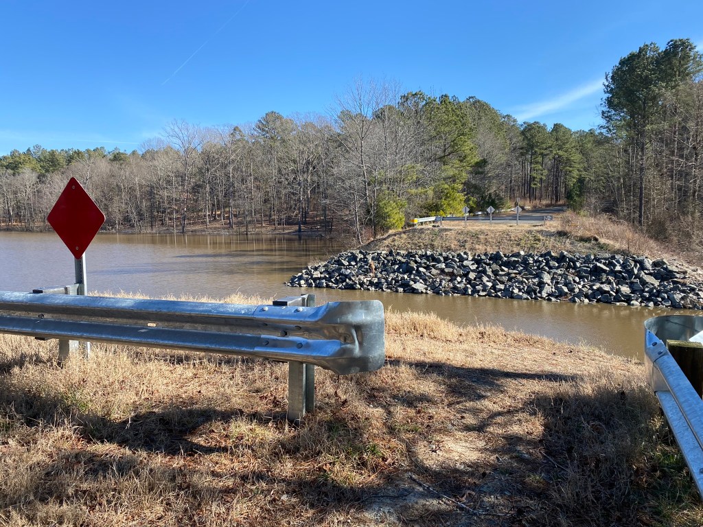
…the road washed out years ago. My turn-around point is on the other side of this gap, back on Hereford Road, but it will take two miles of trail to get there.
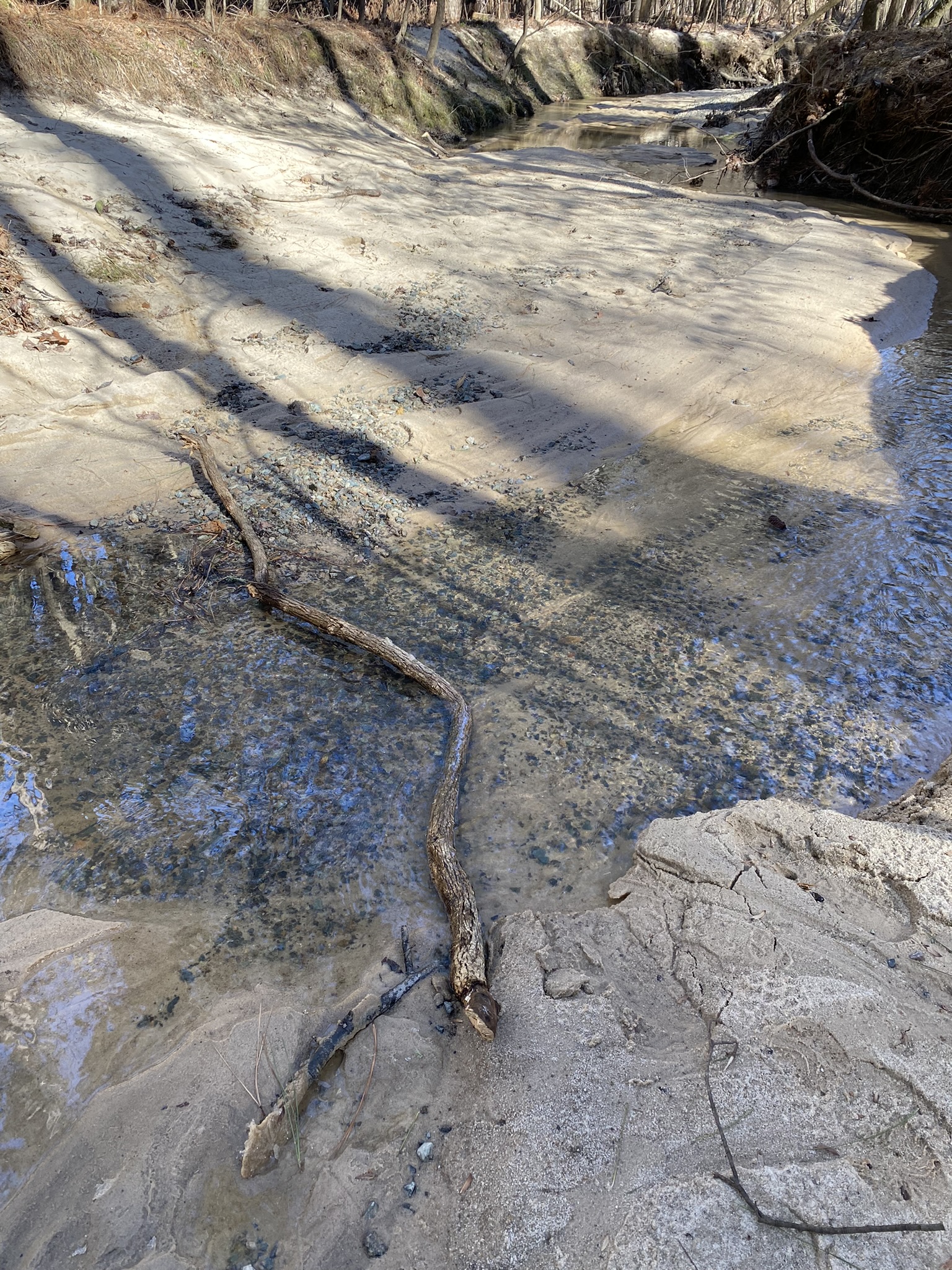
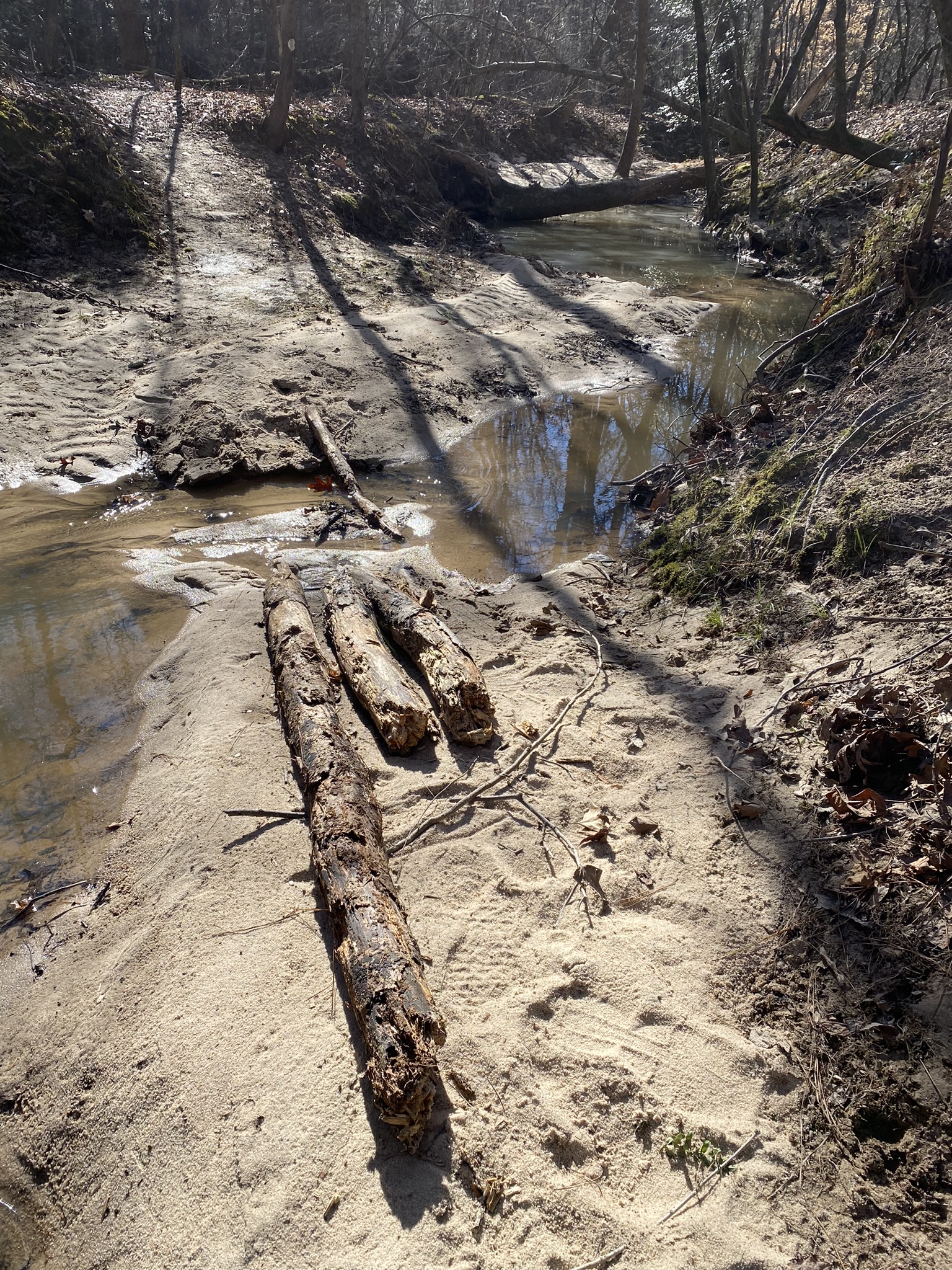
I took time to make sure my feet stayed dry at the creek crossings! Lesson learned.

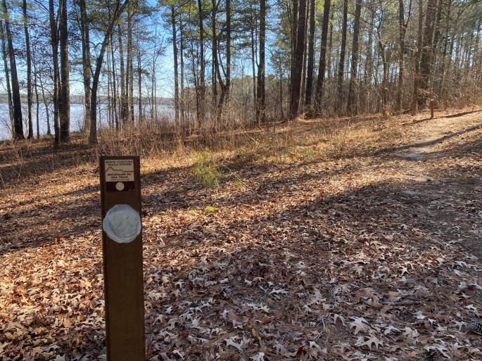
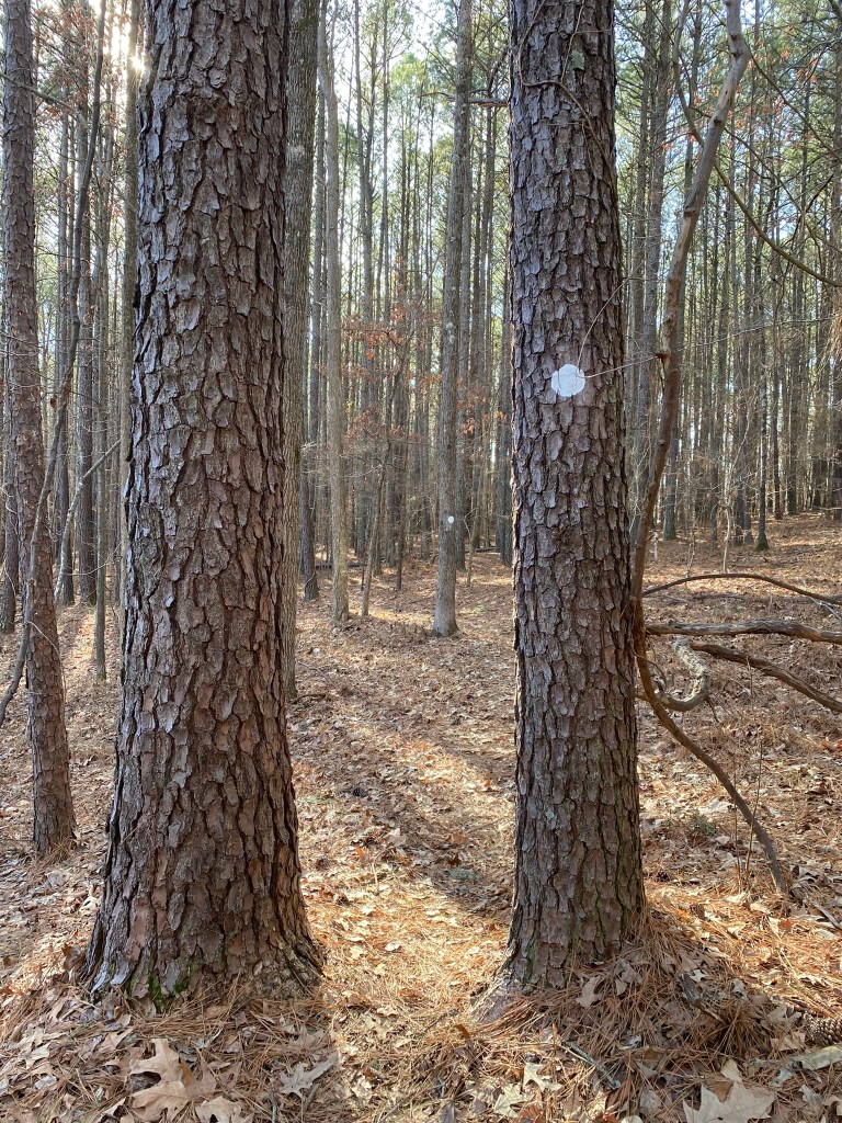
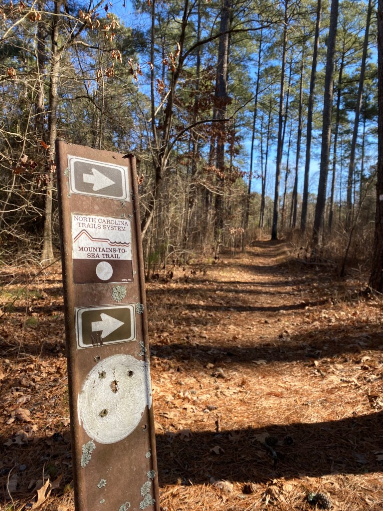
Two white circles means that the trail is making a sharp turn–so don’t keep going straight out into the woods! With all the pine needles and leaves, this can be really helpful to stay on-route.
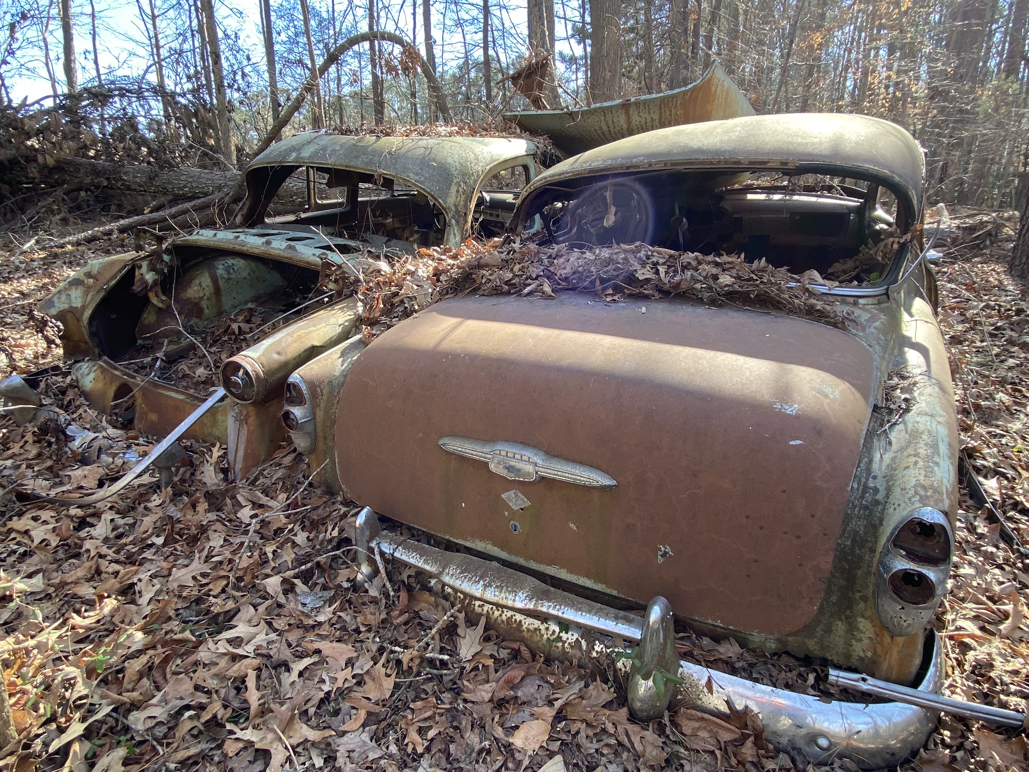
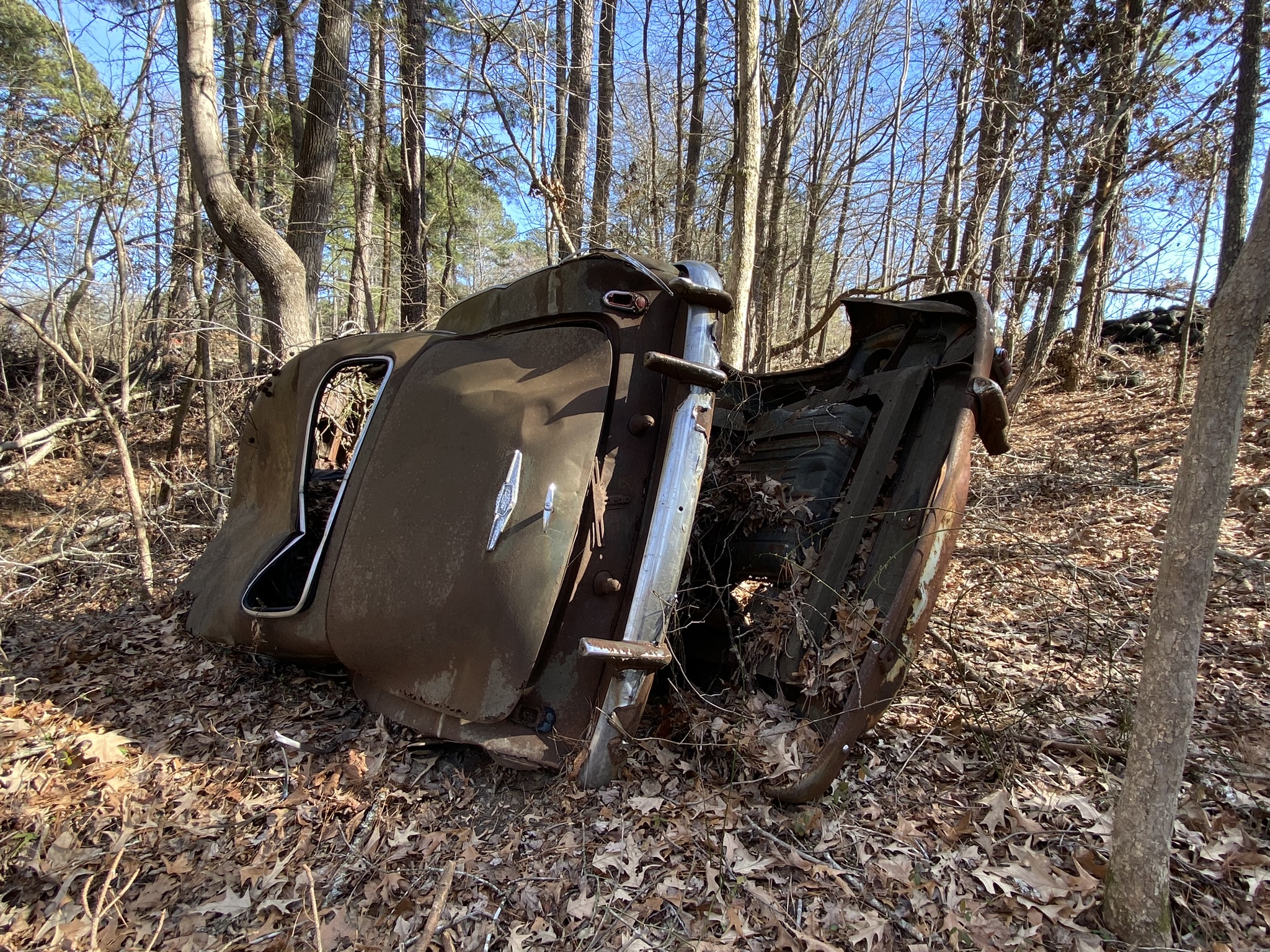
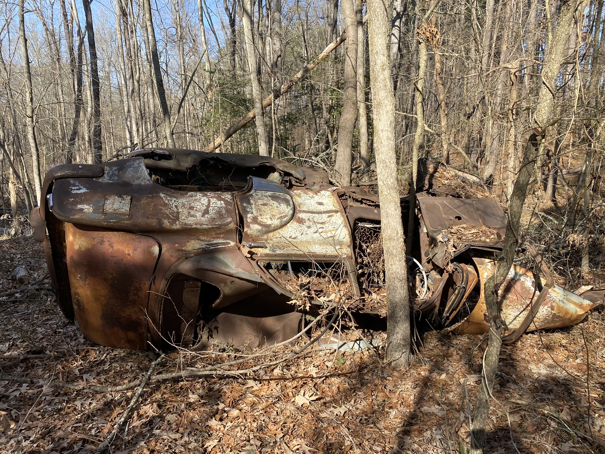
[Space holder for when my cousin-who-knows-cars sees this post and hopefully identifies this relic!]
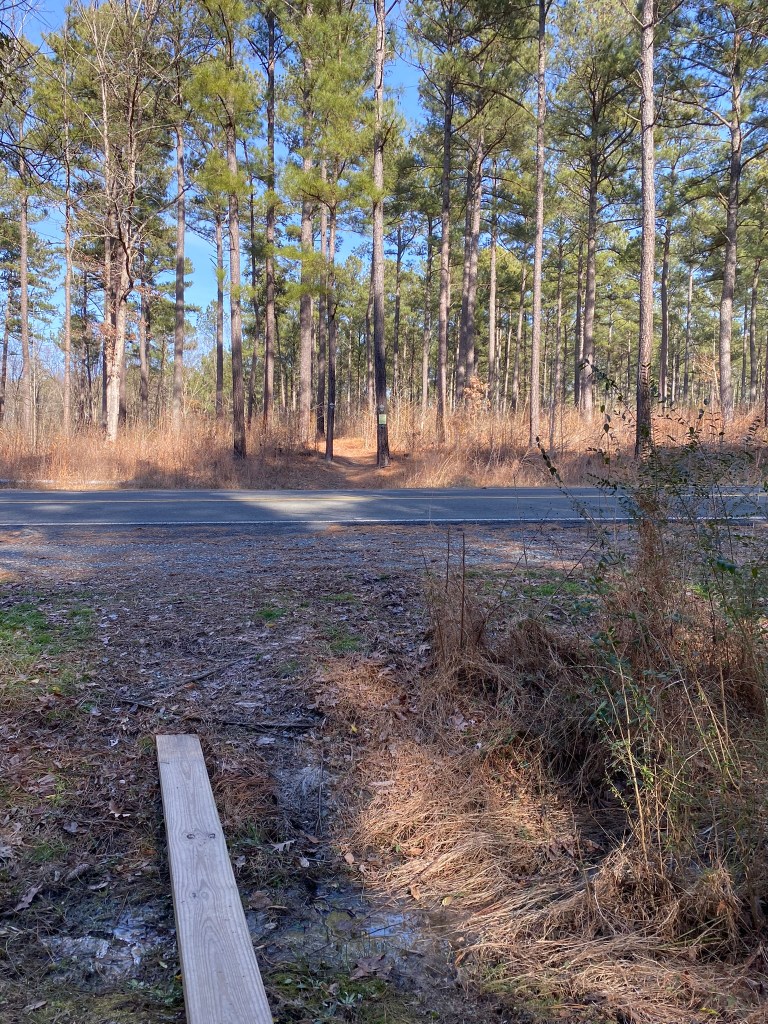
MST mile 31.2 brings me back to Hereford Road. I’ll park the car here next time.
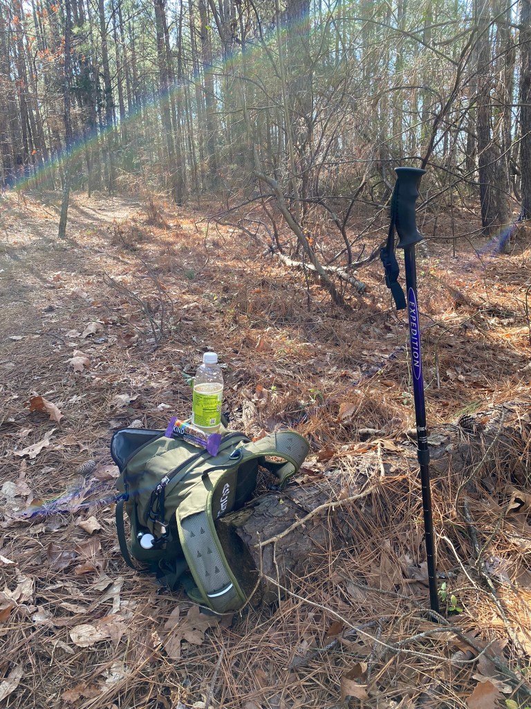
Time for a snack and a short rest…
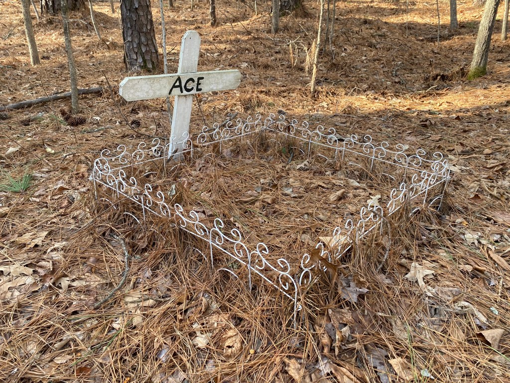
…but not as long a rest as Ace is having!
