Buck Creek Gap to Woodlawn Access, eastbound
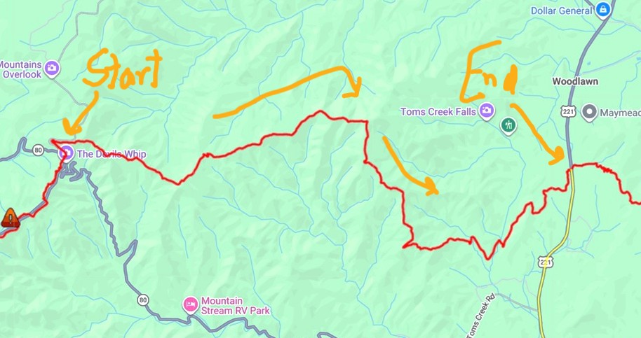
July 21, 2026. This 11.9-mile hike has no intersecting access points, which is actually unusual for the MST (apart from the 23-mile backpacking section in Segment 1). You’re committed to get all the way to the end, once you set out!
From our Airbnb we drove back up to the Buck Creek Gap overlook, but this time before dawn, since I wasn’t going to be hiking on busy roads.
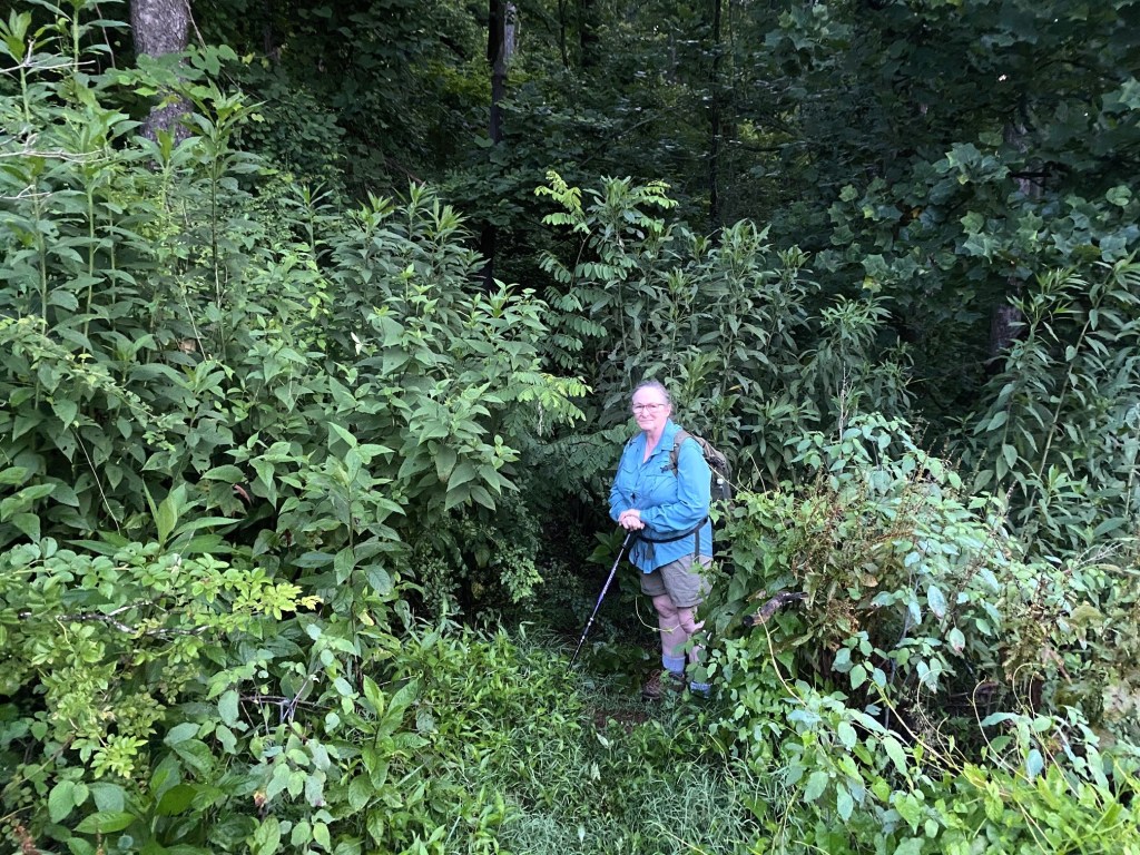
There is a short, temporary piece of trail that connects to the official MST route, since you aren’t allowed up on the Blue Ridge Parkway at this location. Unfortunately, this little trail where I’m standing was NOT the right one! But as it quickly deteriorated and was heading steeply downhill, I backtracked and then located the correct trail leading out from the parking lot.
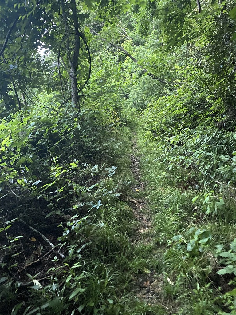
THIS was the correct path! (It was also unmarked, but it parallelled the BRP and headed UPhill)
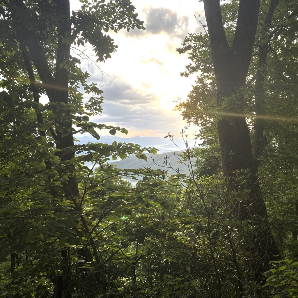
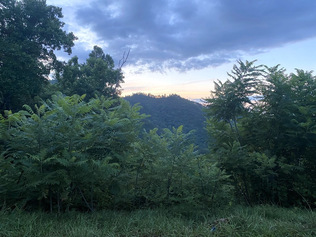
There’s the sunrise!
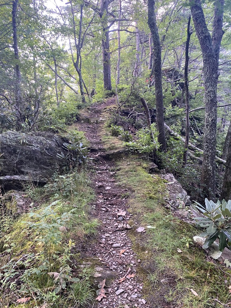
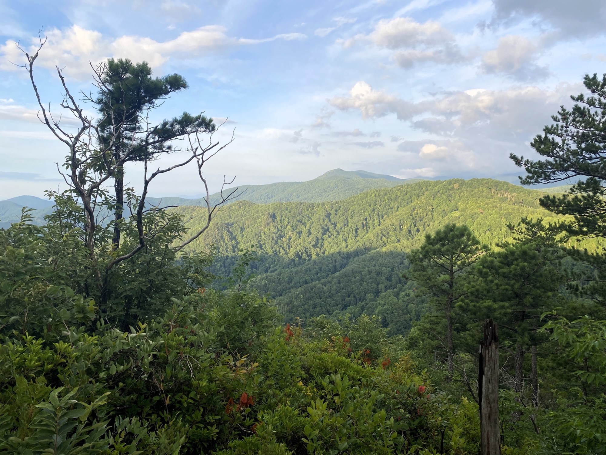
The most beautiful part of this hike was near the beginning, as you run the ridgeline, with great views and interesting terrain.
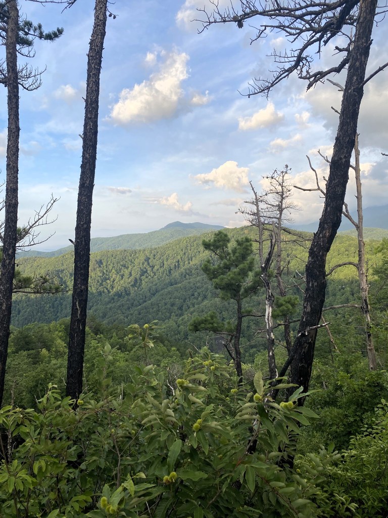
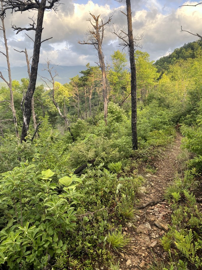
The first hour had views and birdsong, and the hiking experience was simply wonderful.
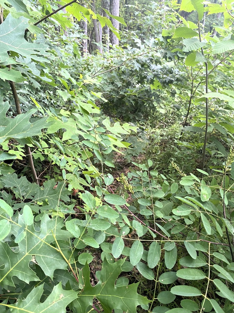
But when the route began a long descent, the trail closed in with overgrowth, making it rough-going through brush and stickery bushes.
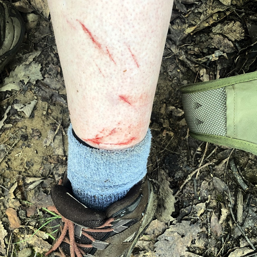
They got me.
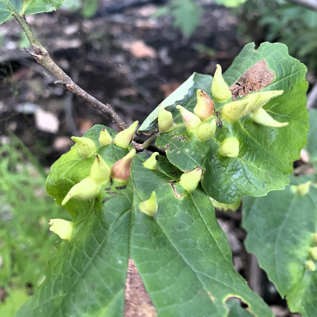
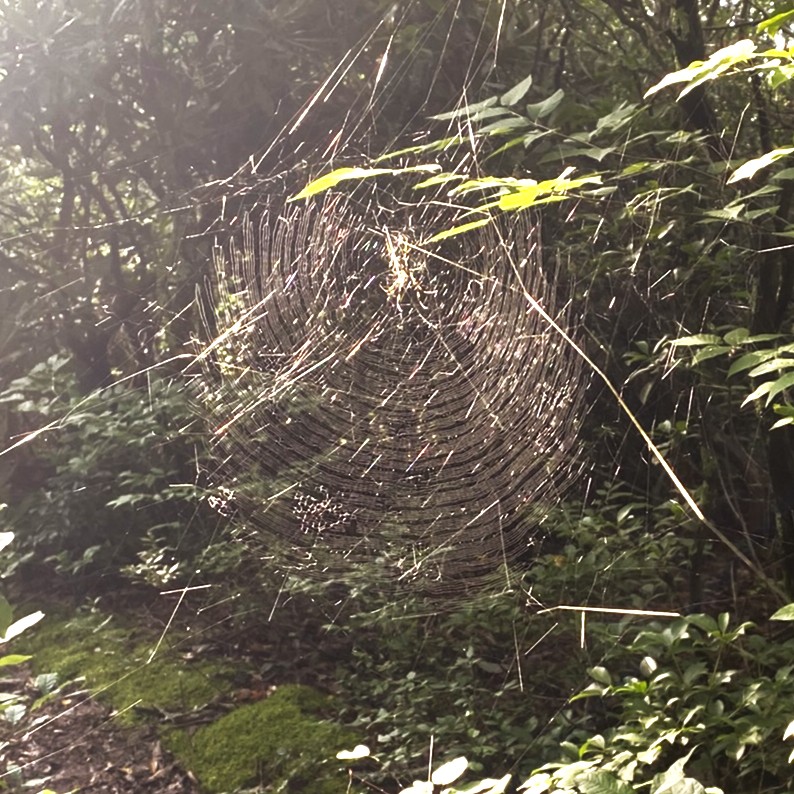
I did notice this huge spiderweb before plowing into it, but I managed to entangle myself in about fifty other ones as the hike progressed. I did the “stick-waving” thing, but it was only occasionally effective.
Then I began a 4-mile ascent to an absolutely nondescript highpoint in the trees where there used to be a fire lookout. This included some of the steepest portions I’ve encountered on the entire MST.
Between the exertion, humidity, spider webs, and biting bugs, I was NOT a happy hiker….which you can tell, because I took absolutely no photos all that time.
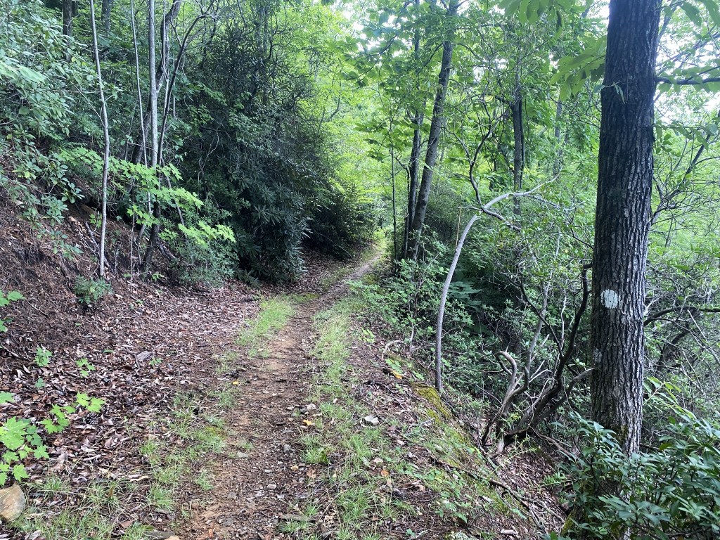
The route was much gentler on the other side of that ordeal, although with the humidity it was hard to not get overheated, even going downhill.
THEN I somehow managed to lock up my cell phone, so no more photos for several miles.
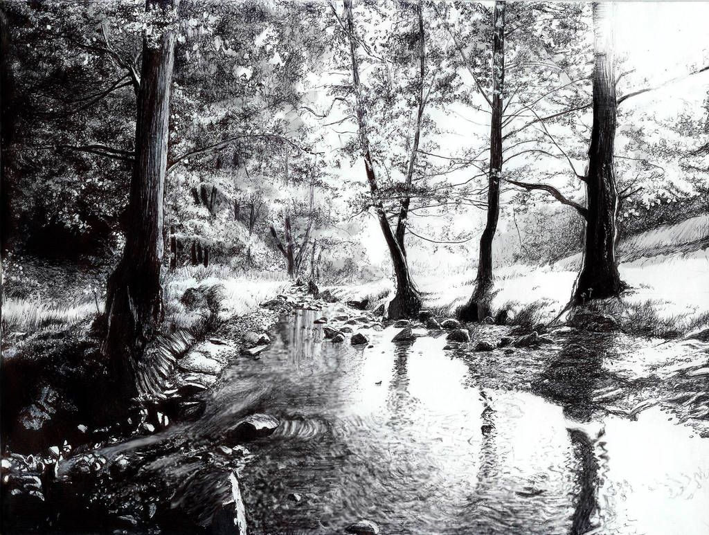
Eventually I came to the South Fork of Tom’s Creek.
- Rest and hydrate
- Dowse head and torso with creek water
- Wash off dried blood from legs and arms
- Remove tick
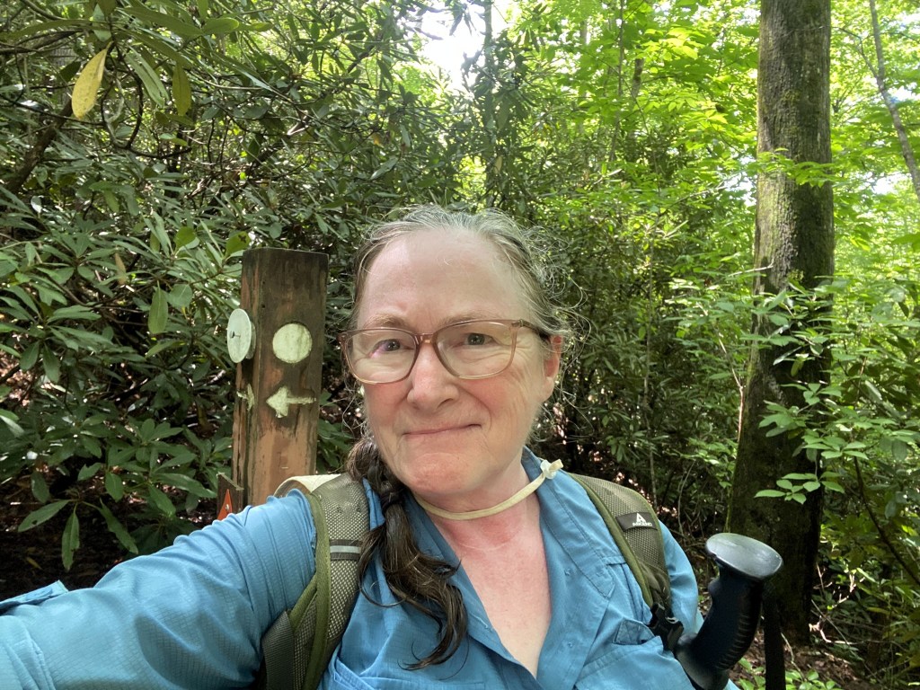
A mile later, Praise the Lord, I finally was able to correctly enter my password and get my cell phone back up and running. I texted the husband-shuttle to let him know I was going to finish an hour earlier than originally scheduled.
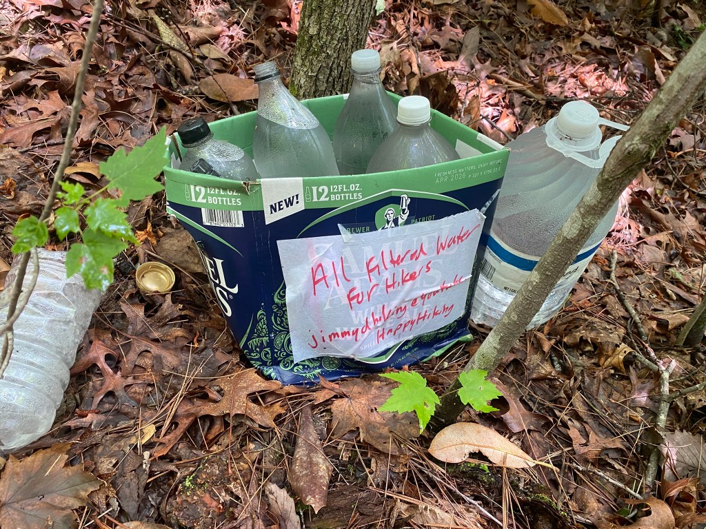
That’s a sweet gift, Jimmy. (I didn’t partake…I still had enough potable water with me. For a day hike, I carry all I need.)
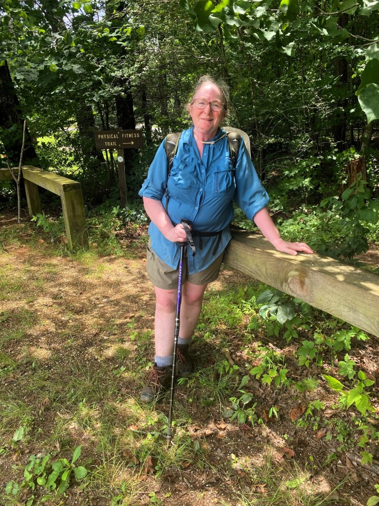
The end of a difficult hike. Do I look a little heat-stressed?!?!?
But I’ve completed Segment 4! Hooray!

Vanilla milkshake to celebrate!
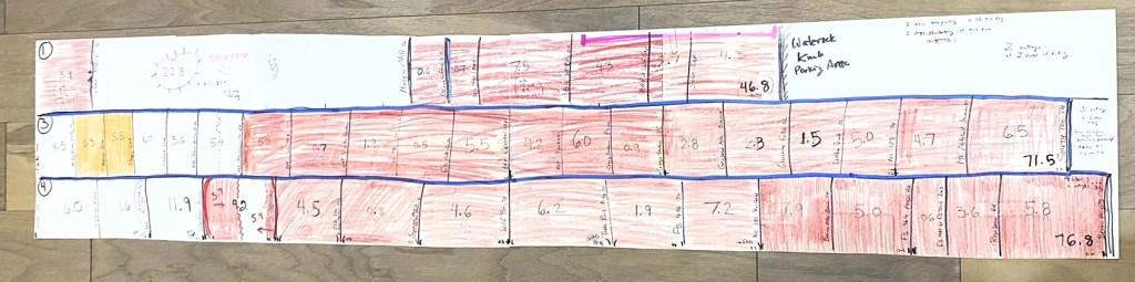
Here’s my MST count-down chart.
What’s left?
- Segment 1 has 22.8 miles (backpacking over two days, early October)
- Segment 2 has 6.6 miles at the eastern end
- Segment 3 has 4.5 miles at the western end, and another 10.7-mile section near Asheville
- Segment 9 has my final 5.1 miles near my house in Hillsborough
I have less than 50 miles to go!


Challenges, like having to finish the segment, to get to husband, locking your phone (and unlocking it), along with the stickers, spider webs, humidity, and only one tick!
I can’t believe your persevering.
And all those little bits left to complete segments, for another day.
Lorraine Boyd
>
LikeLike