MONTGOMERY
953′
(#30/100 North Carolina county highpoints)
It’s been a while since we’ve had a highpoint that is an actual…thing, like a peak or hill, or as in this case . . .
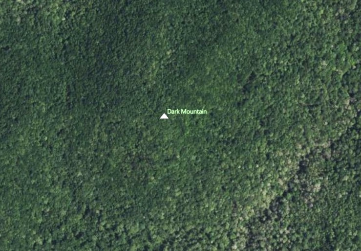
DARK MOUNTAIN
ha ha, just kidding.
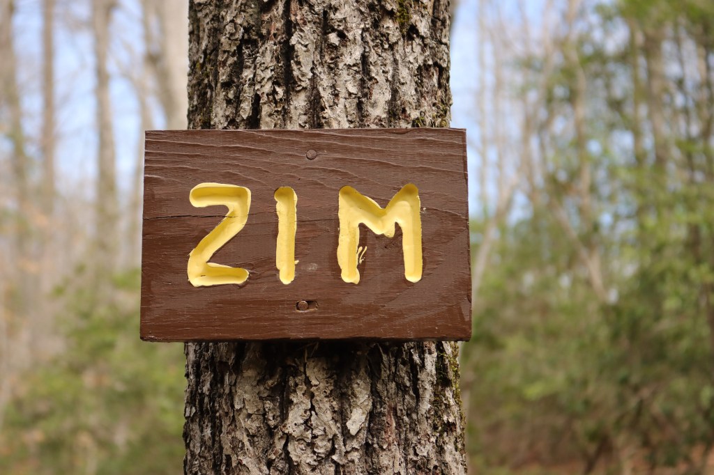
Montgomery County’s “Dark Mountain” is a little less imposing.
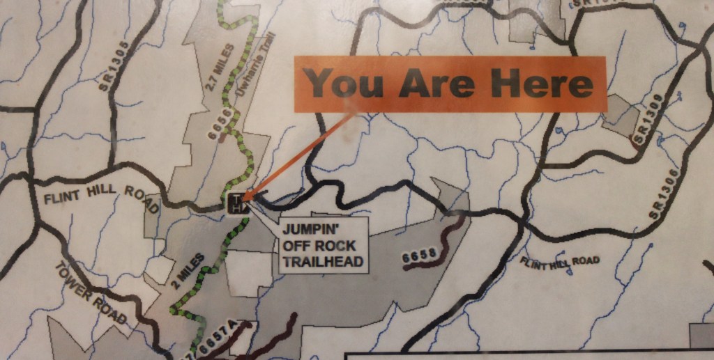
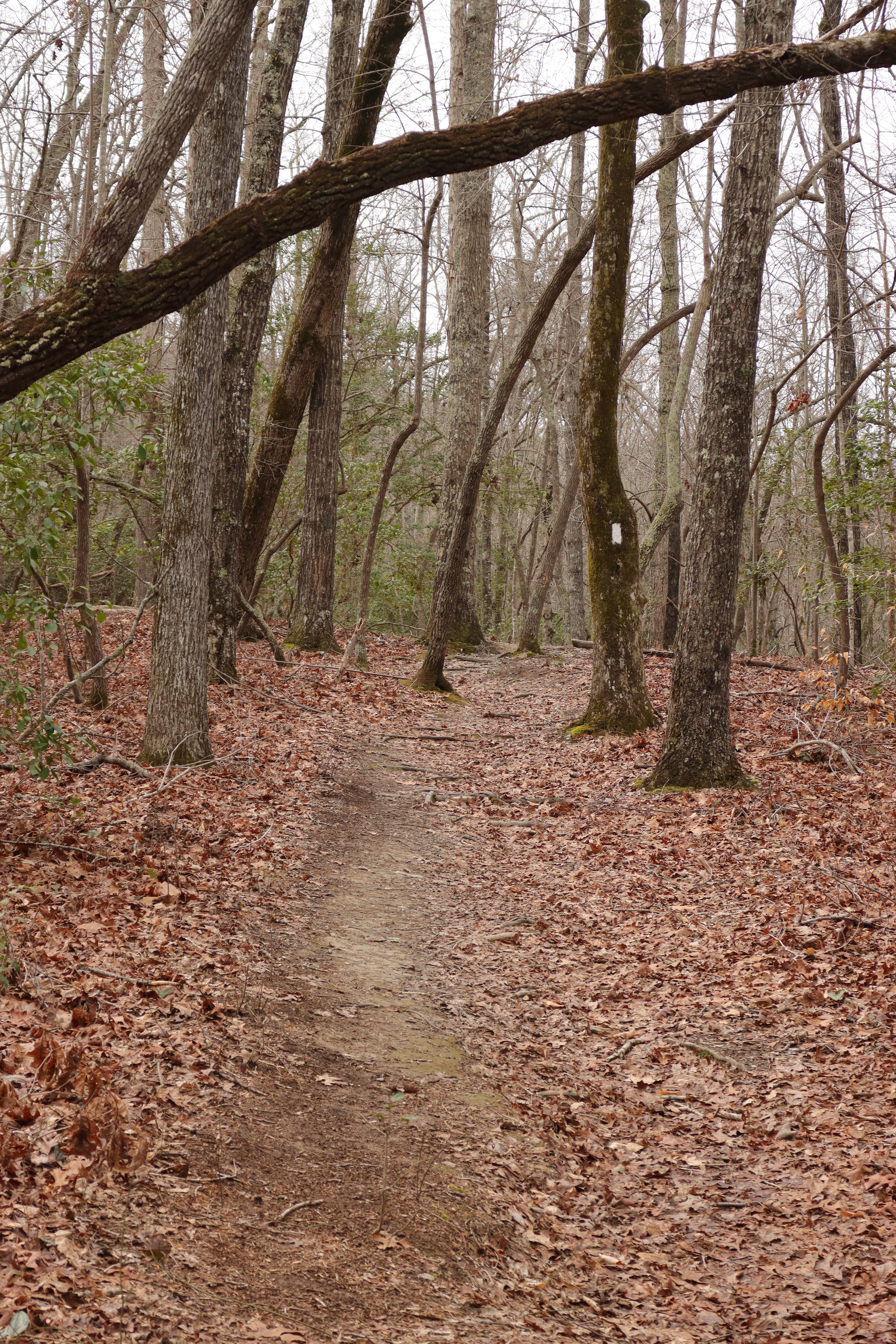
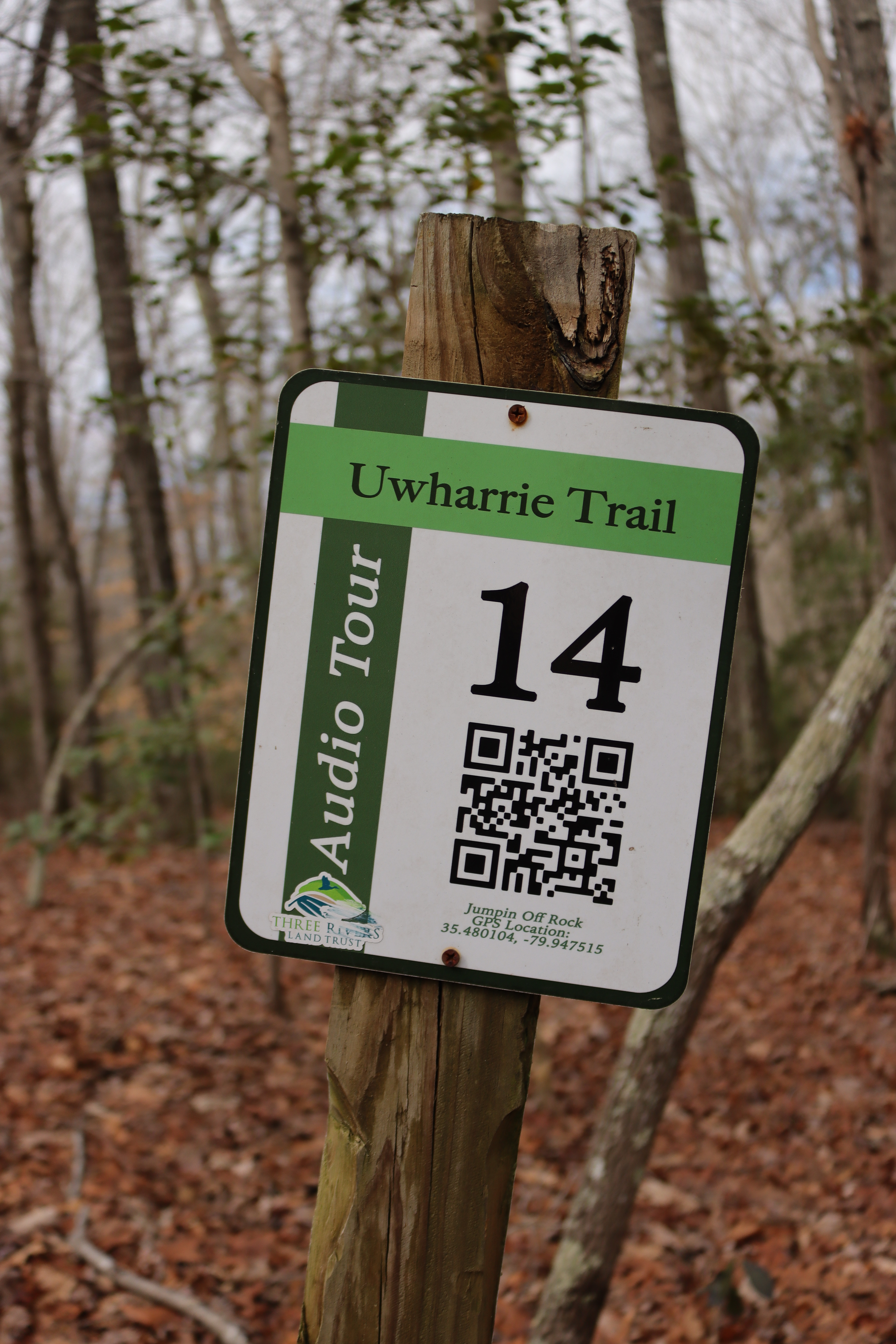
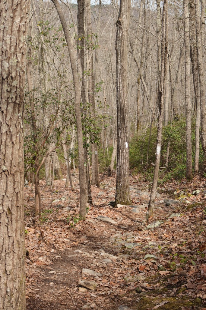
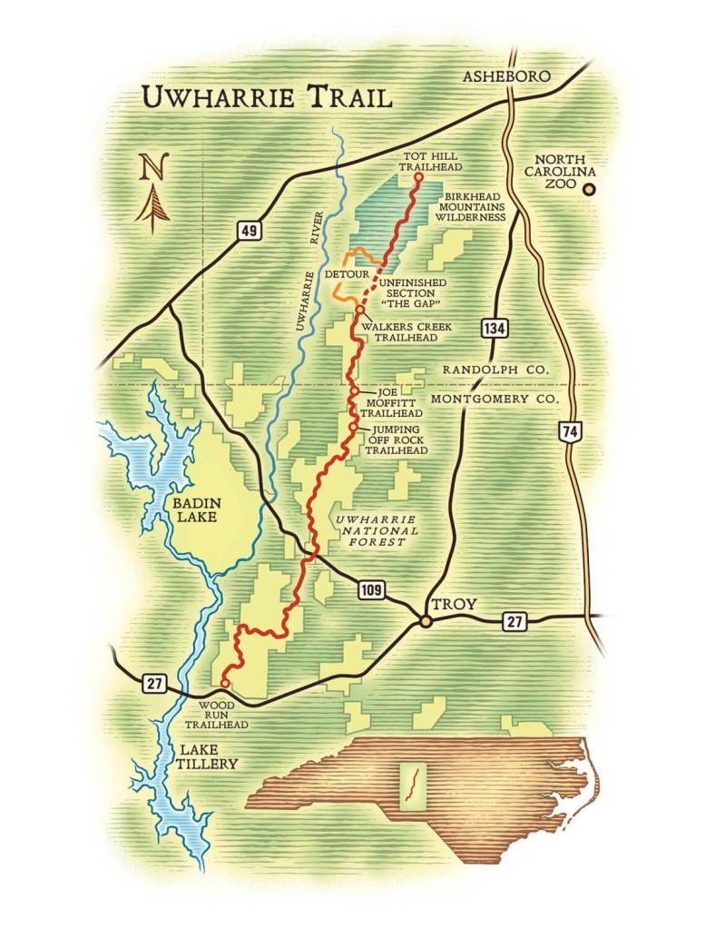
The trailhead is in the Uwharrie National Forest near Ophir.
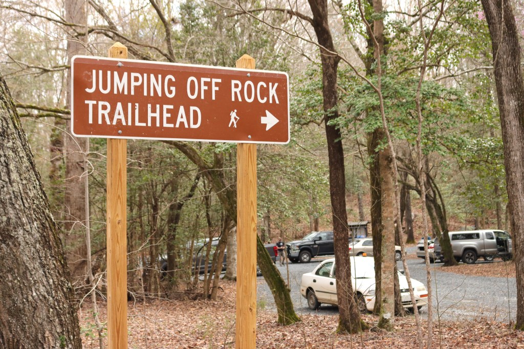
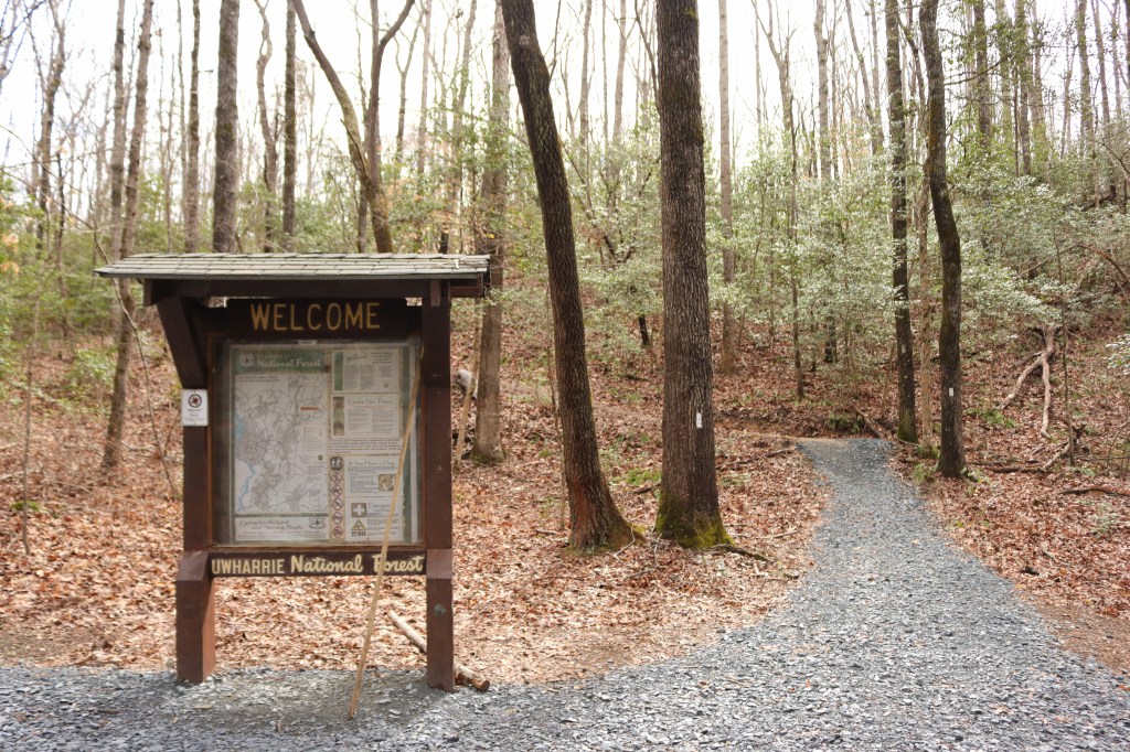
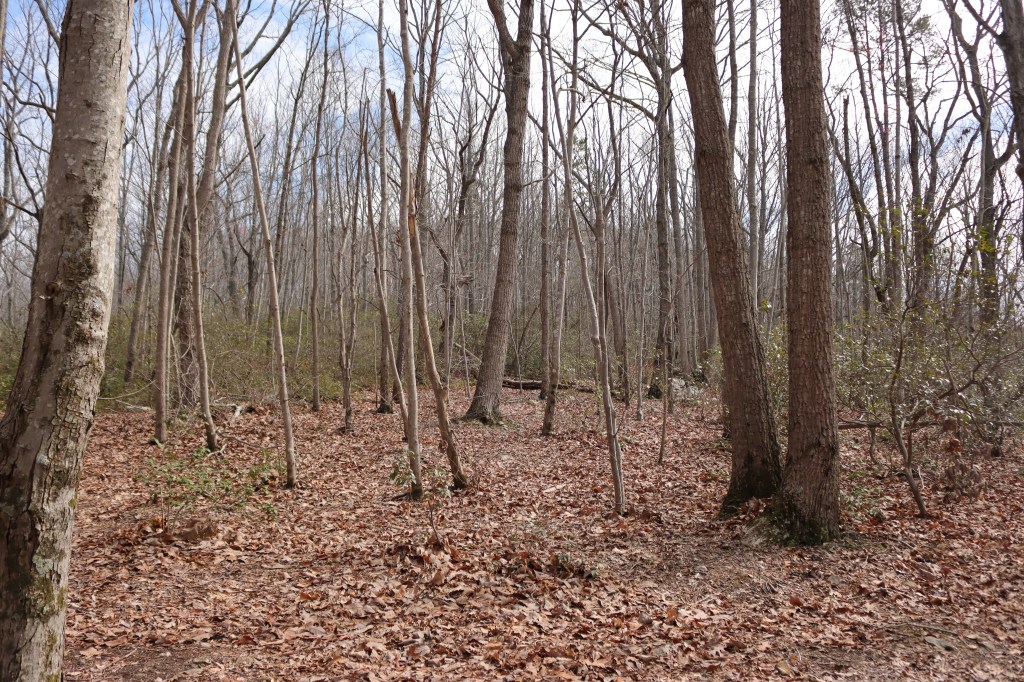
We follow the well-marked and oh-so-modern trail for about a mile.
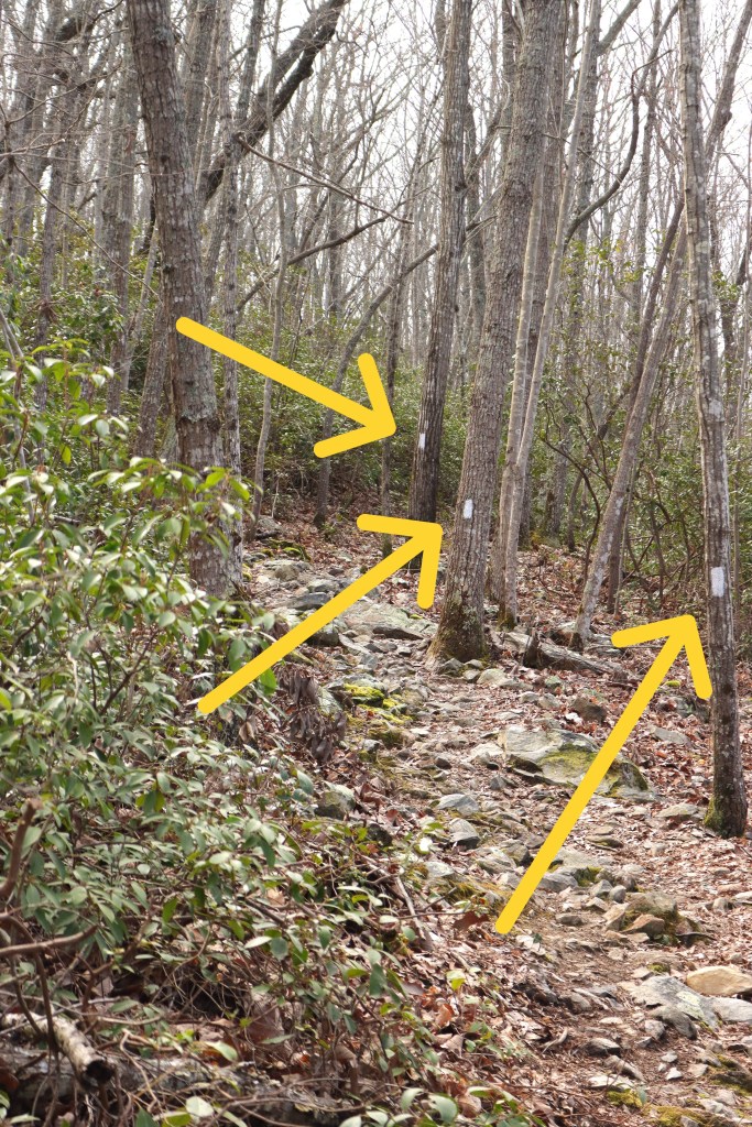
The trail climbs for about a mile to a saddle and continues up to the west.
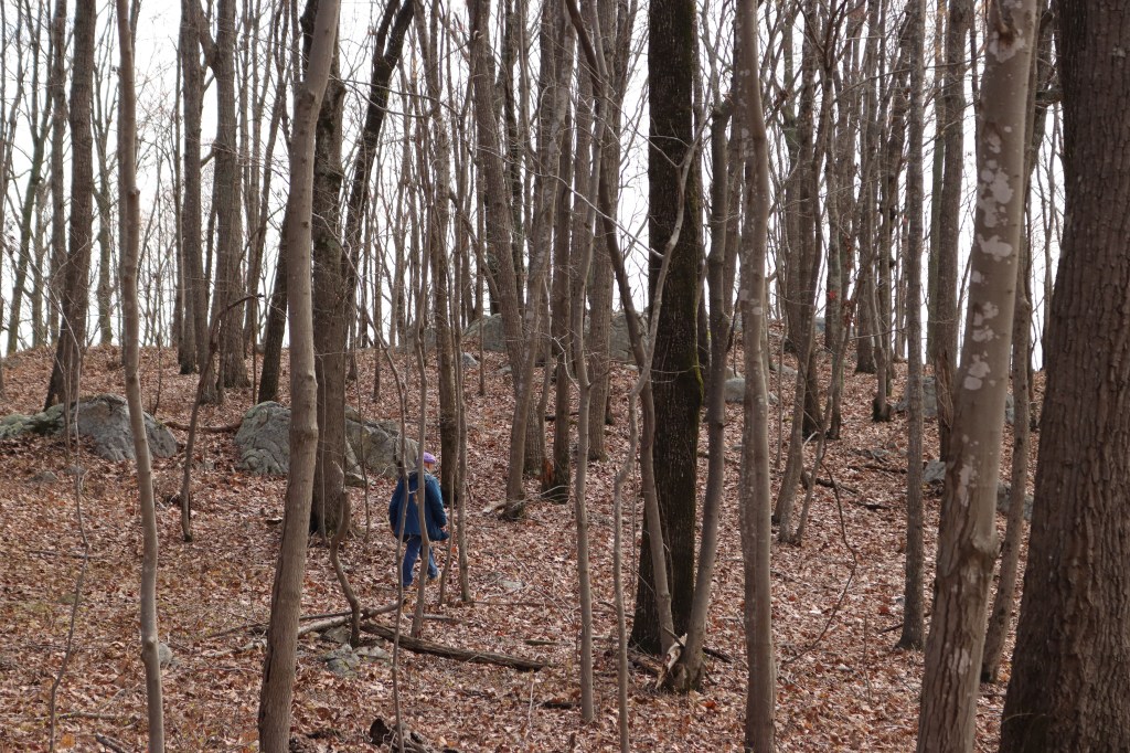
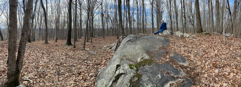
But at this point we leave the trail and head up to the highpoint which lies to the east.
Every now and then I look back downhill for distinguishing trees or rocks to help us find the trail again on the return trip.


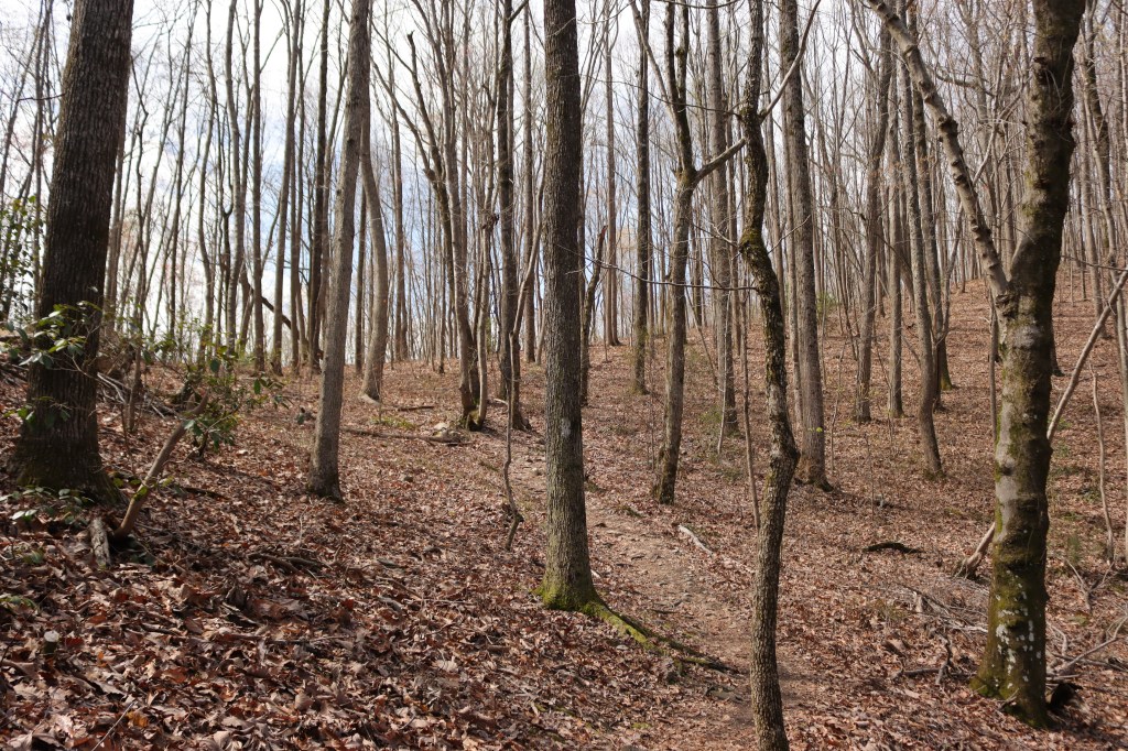
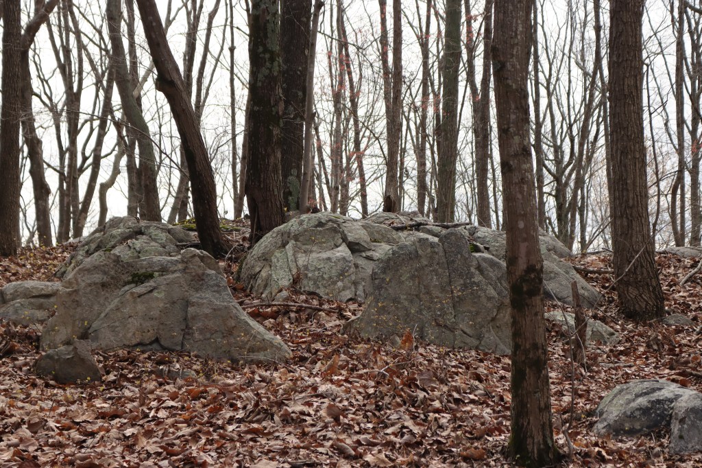
Now we can see the “true summit” of Dark Mountain.
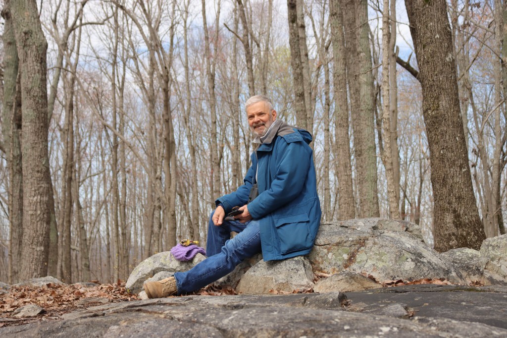
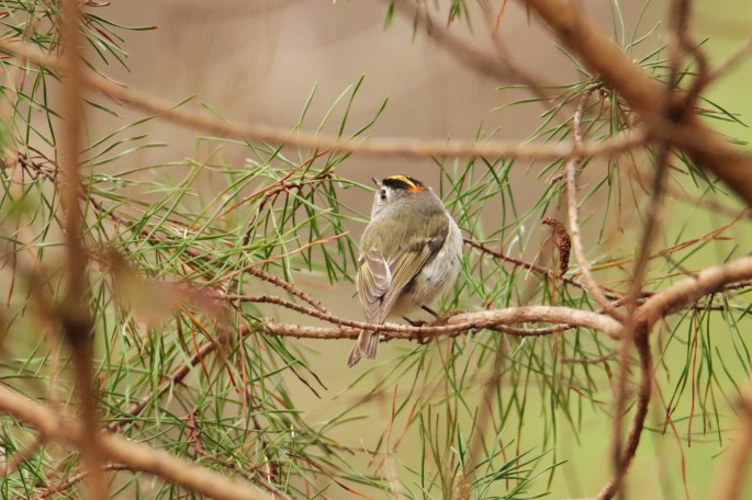
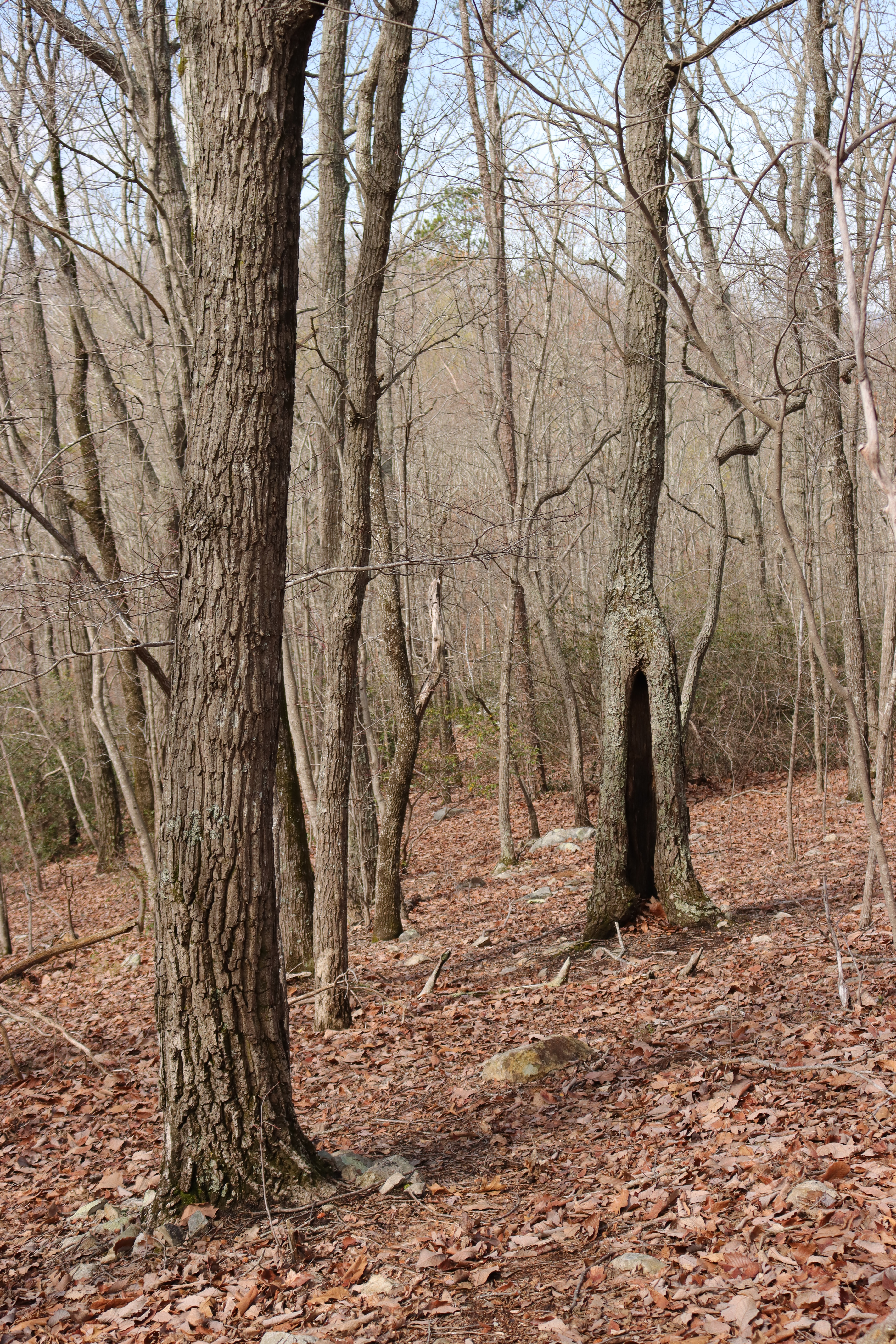
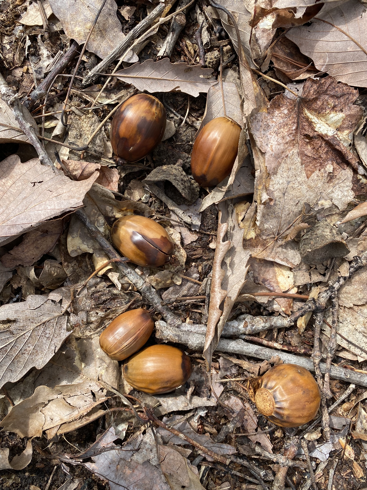
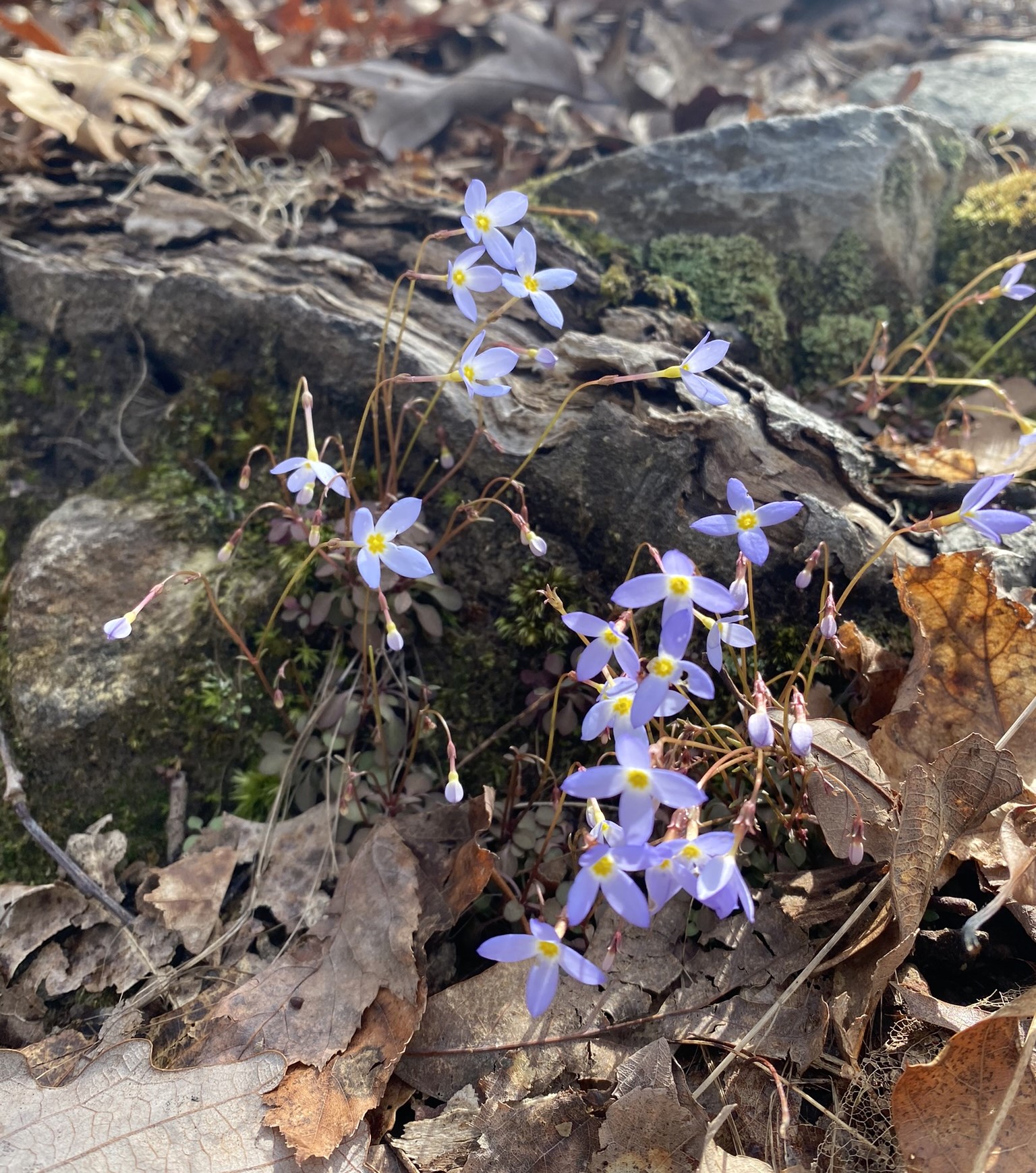
After a short rest we find our way back down to the trail without incident–and with the occasional pause to enjoy a few natural treasures among the leaves and rocks.
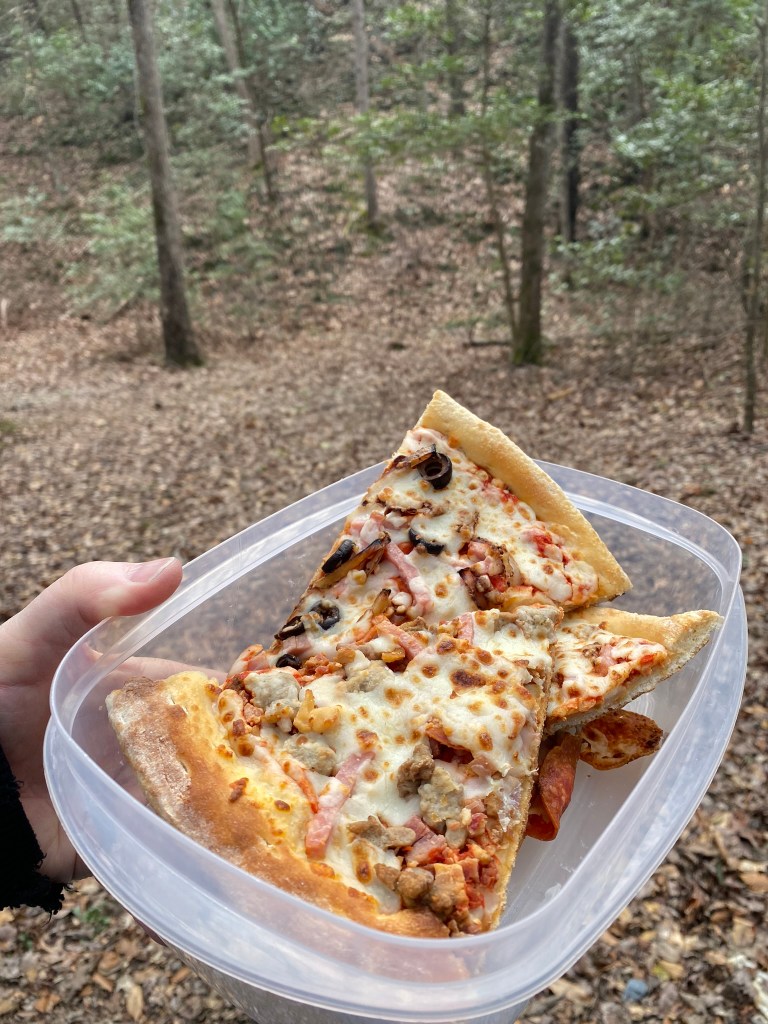
Back at the car we enjoy a picnic lunch.