Frisco Day Use Area to Avon Pier, eastbound
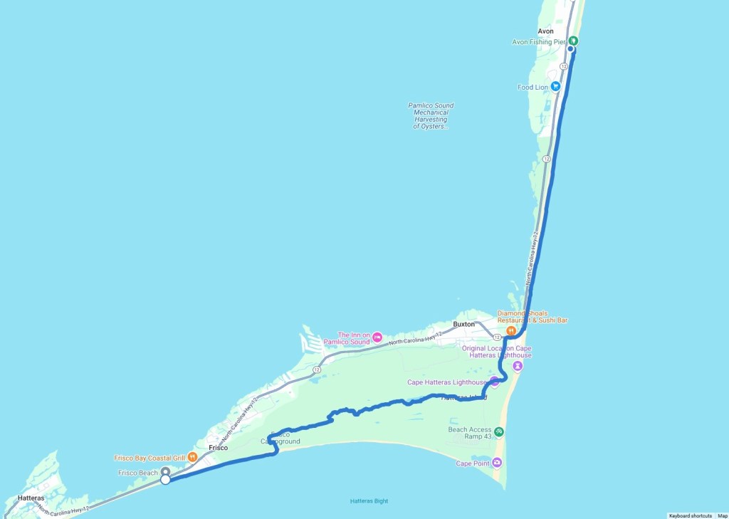
April 23, 2025. Day 3 of our 3-day outing, rounding the corner, so to speak, of the Outer Banks. I hiked 15.1 miles, both on beach and through the scrubby, buggy forest.

My Husband-Shuttle dropped me off at the Frisco Day Use Area at 6am.

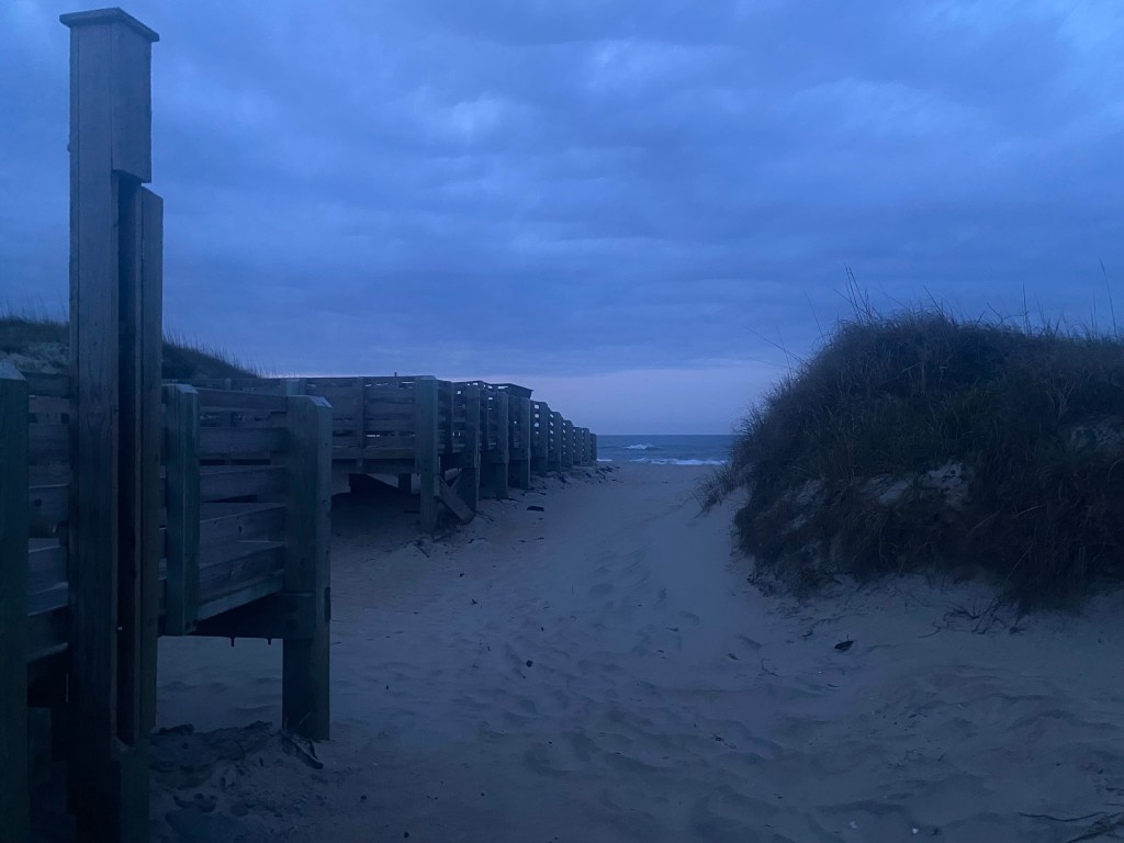
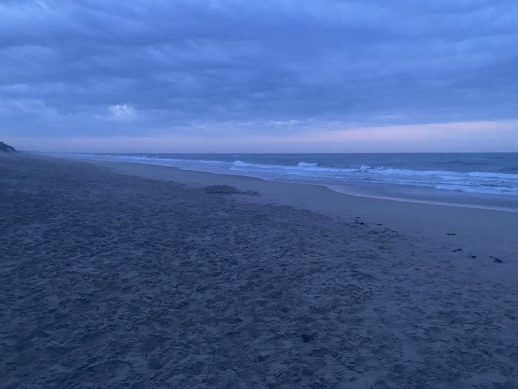
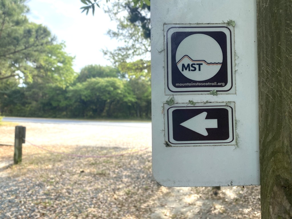
Navigation is pretty easy at the beach, even before sunrise. When you reach the ocean, turn left.
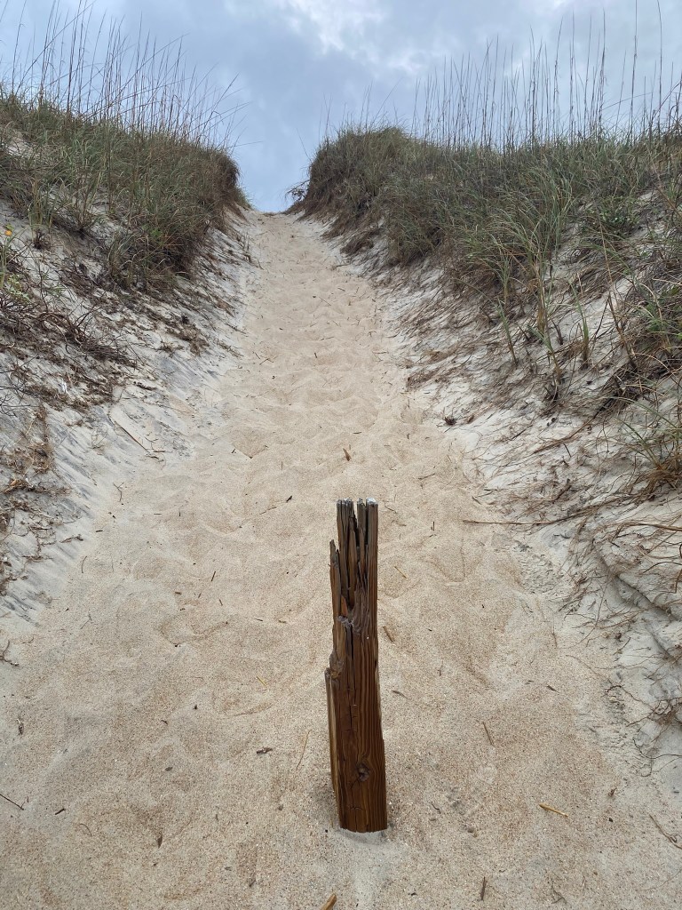
The sand was a little soft, but I only had 2.5 miles of it before the route headed into the Frisco Campground.

I haven’t done three days of consecutive hiking since my TEEN YEARS. That was in the last century!!!
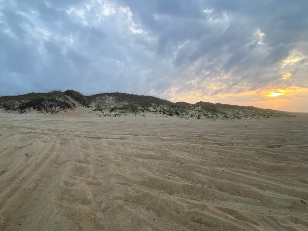
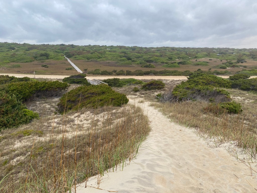
This is the exit point from the beach. It’s always such a slog to get through the deeper sand. I was really looking forward to seven miles of solid surfaces!

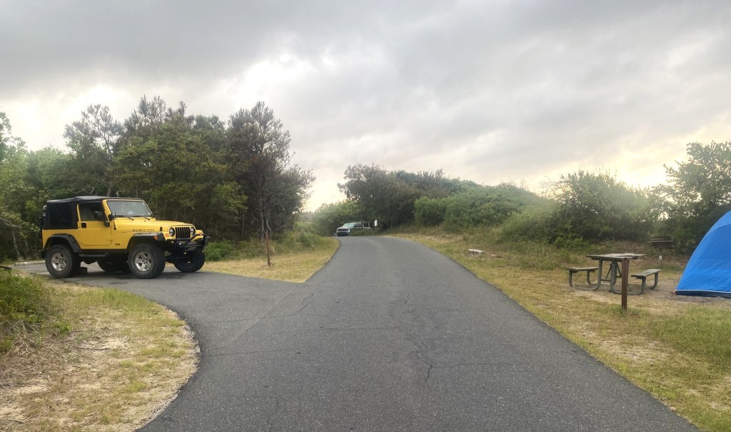
Only a few families were stirring this early in the campground.

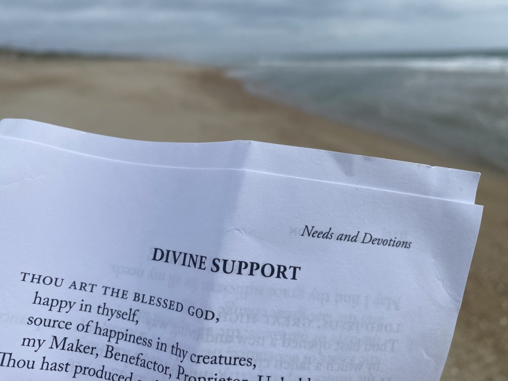
I borrowed a vacant picnic table for a short break. A storm was building and you could feel the humidity, so I started my electrolytes early today.


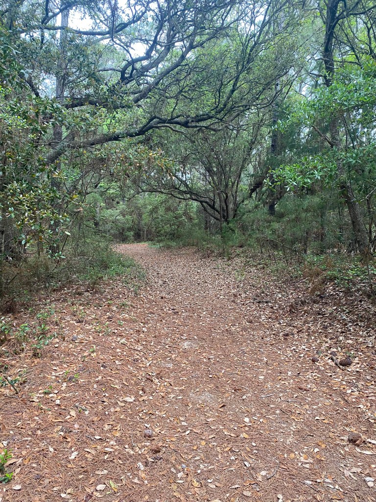
Now, doesn’t this look so peaceful and wonderful.
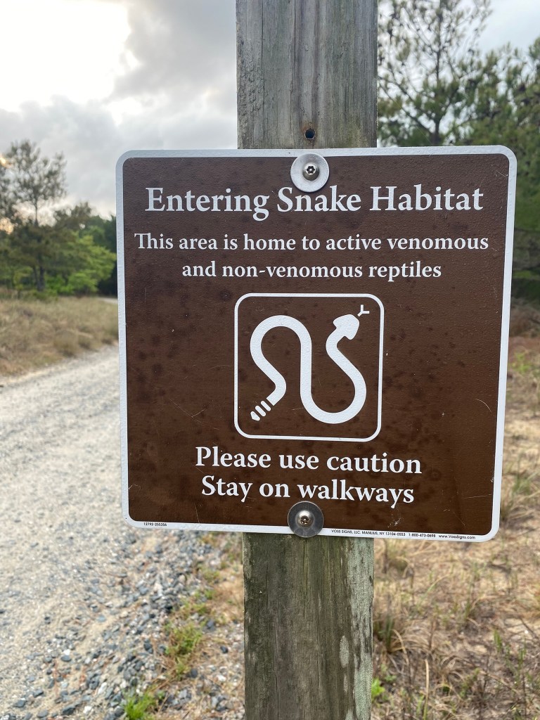
But,……YOU CAN NOT SEE THE MOSQUITOES!
AARGH! I was NOT prepared. It was tolerable with a lot of hat flapping, and as long as I kept moving moving moving.

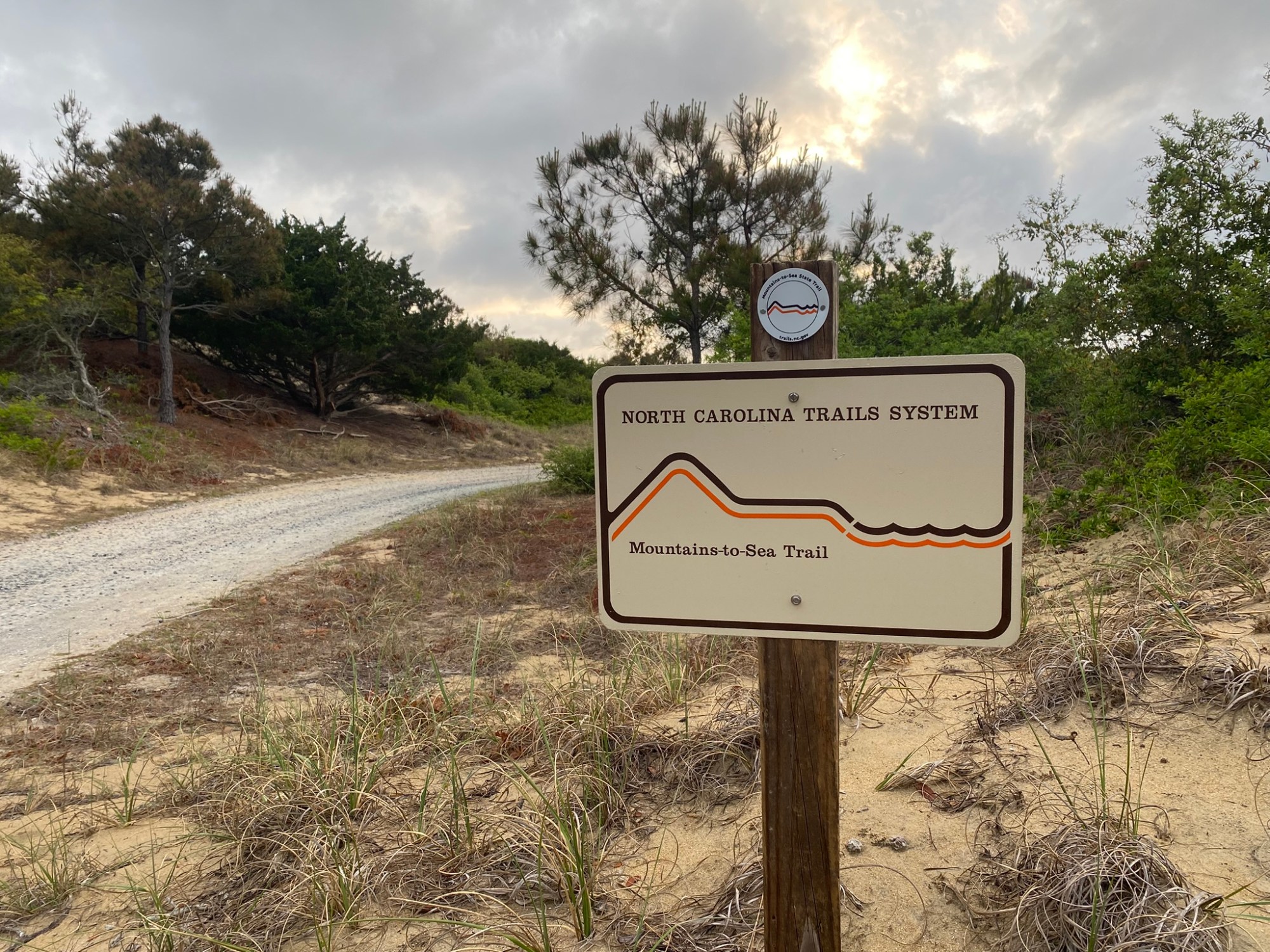
And then the trail deteriorated to this.
The trail is shared with horses, and those big ole horseys have churned up the sand. It was deep and soft and really miserable for walking.

But I didn’t dare slow down in that soft sand!
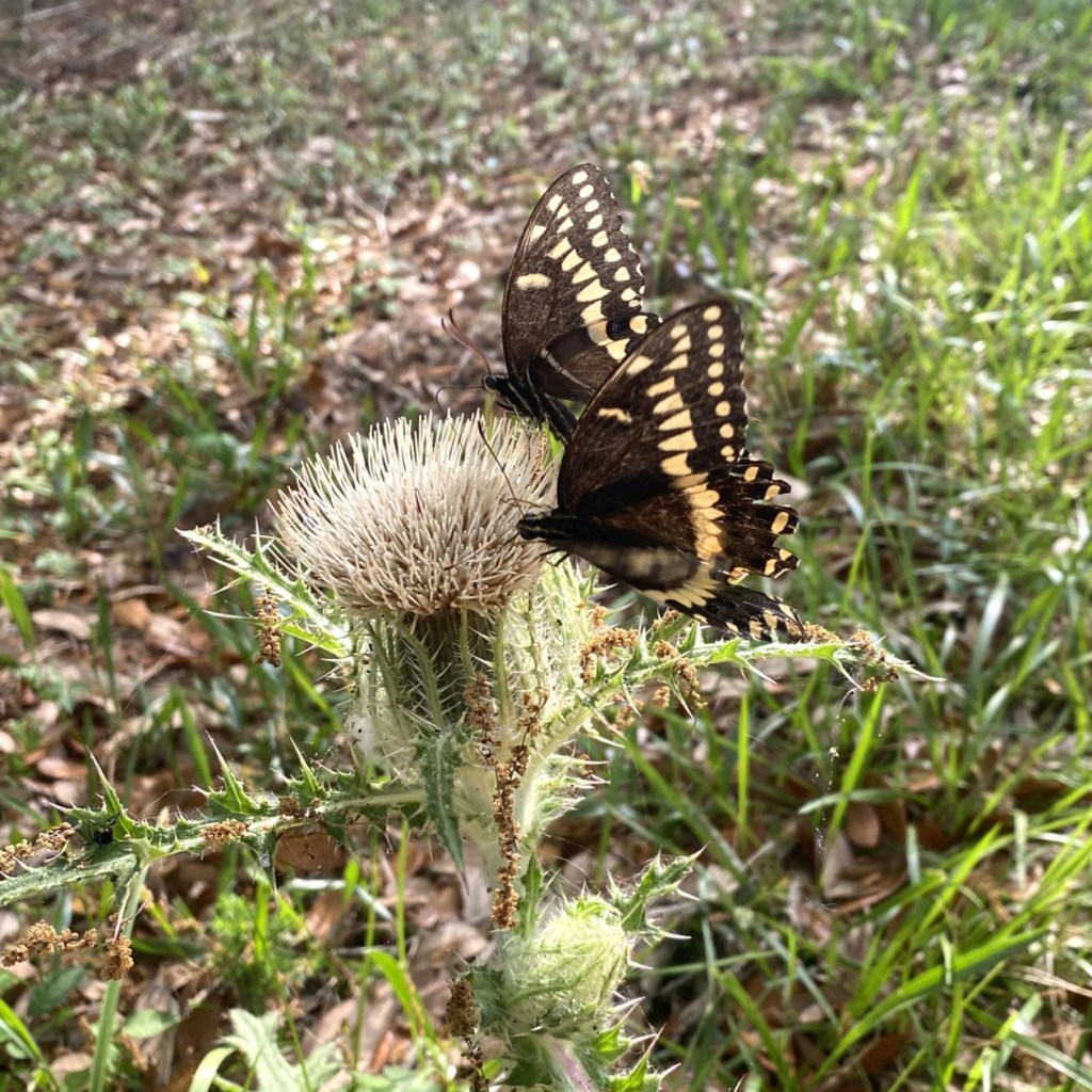
So, very few photos, and I didn’t stop to try to identify any birds, either.
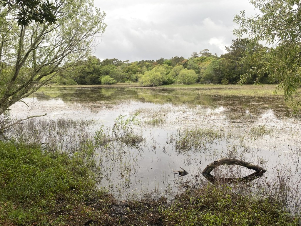
Fortunately there was enough of a breeze at the pond that I could pause for a quick drink and snack.
YAY! Open road!!!
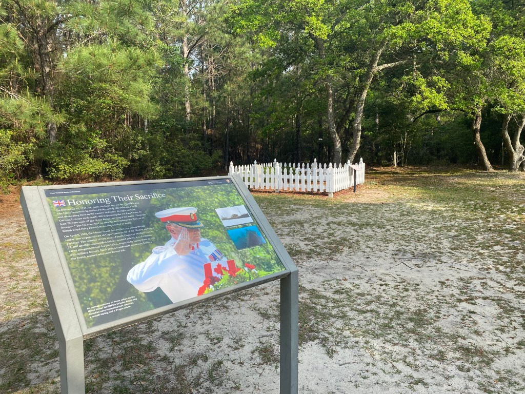
The end of the trail was near the gravesite for British sailors who were killed during their defense of our eastern coast during WW2. German torpedoes sank 400 ships off the coast, including 70 off the Outer Banks.
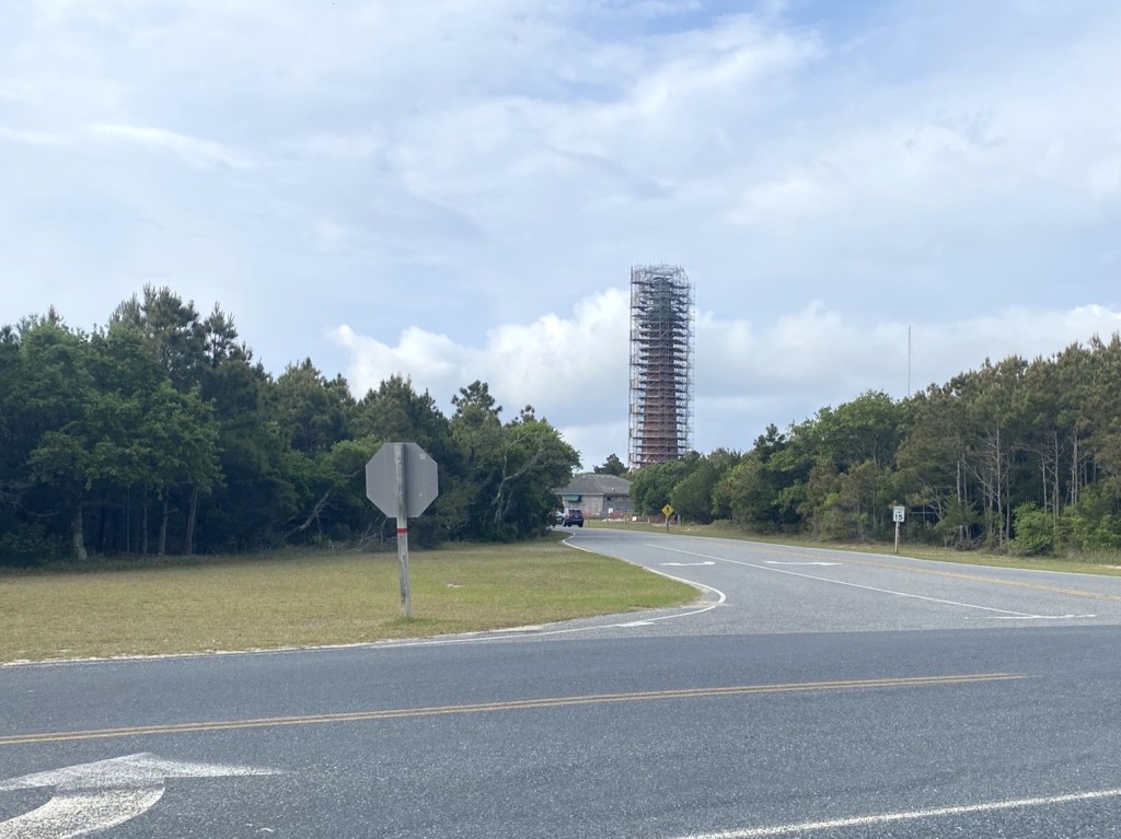
The Cape Hatteras Lighthouse is undergoing renovations. I didn’t go to the visitor center, but headed on up Lighthouse Road toward Buxton.

It rained for only 30 minutes, but for THAT I was prepared!
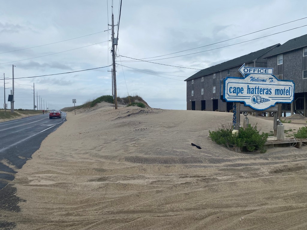

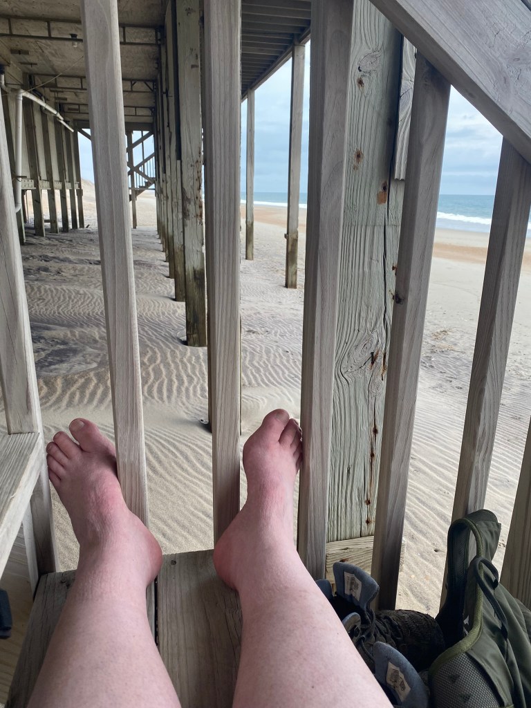
I found this dry spot underneath the Cape Hatteras Hotel for my shoes-off break at about ten miles.
By the time I started down the beach, it had stopped raining, and the tide was quite low, so the sand was usually walkable. From here I did 5.5 miles of beach, to the Avon Pier.
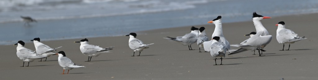
The terns put on a great ID-clinic. In Loren’s photo you can see Royal Terns (the tall ones with the crests), Sandwich Terns (medium, with yellow-tipped black bills), and a smaller Forster’s Tern (orange legs).
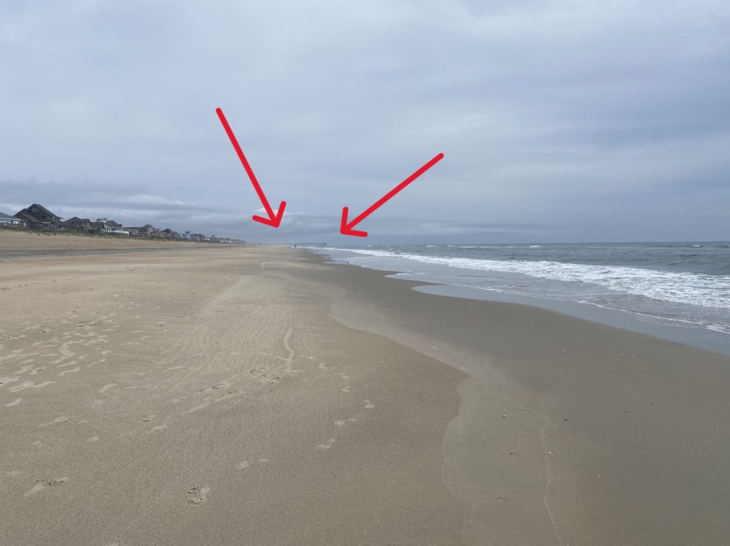
I could see the Avon Pier long before Loren could spot me approaching it!

That’s almost 50 miles in three days, which is about all I’m capable of at this point.
I won’t have any more hikes that are 100% on roadsides. I’m looking forward to trail-hiking after I finish up the beach walks in Segment 18 and continue in 6, then 5, 4, 3, 2, and 1.

And I will be better prepared, for the next hike in the woods!

I have thought that it was slow walking in deep sand. If it were midday on a sunny day, walking in the deep sand might be worse.
Thanks for taking us along.
Lorraine
>
LikeLike