Mial Plantation Road to Sam’s Branch Greenway Trailhead
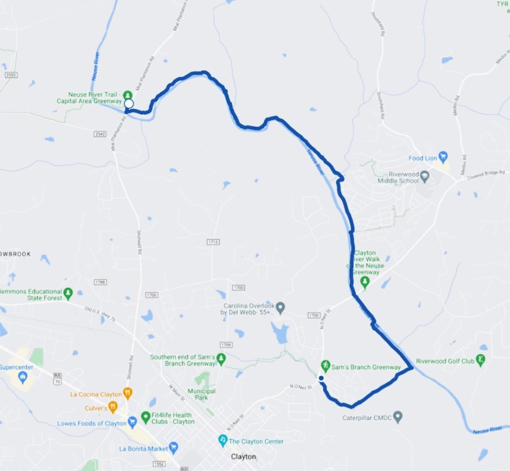
June 4, 2024. This hike was an out-and-back, for a total of 13.5 miles.
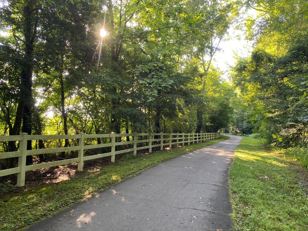
And the whole hike was so pretty!
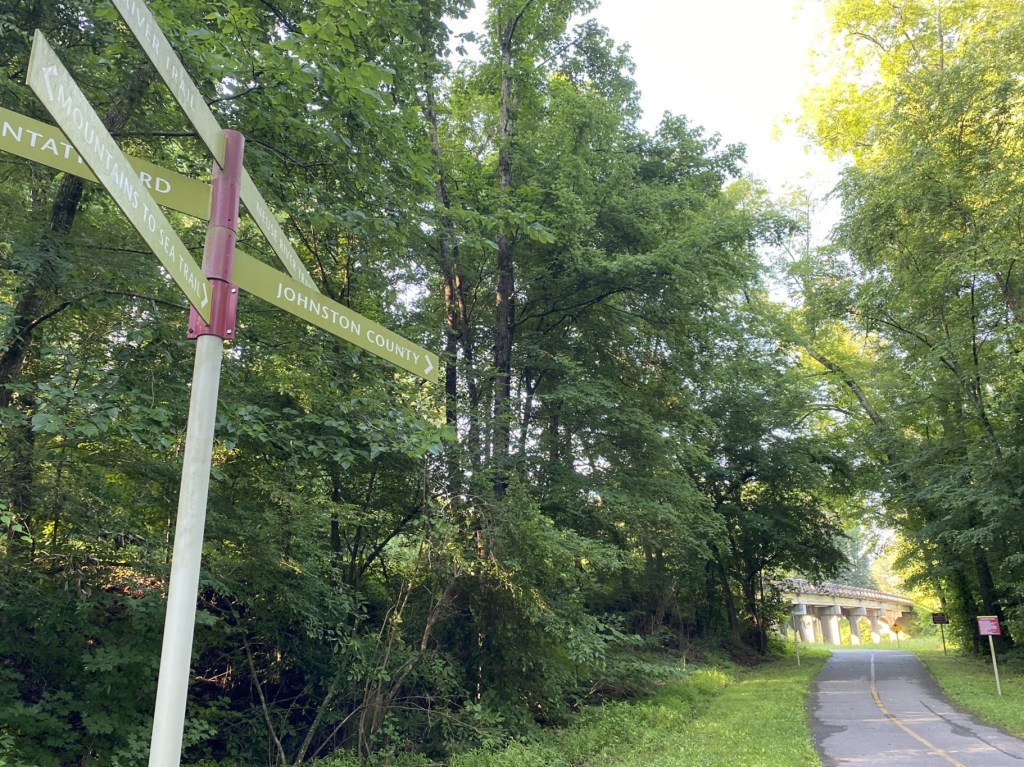
Johnston County, here I come!
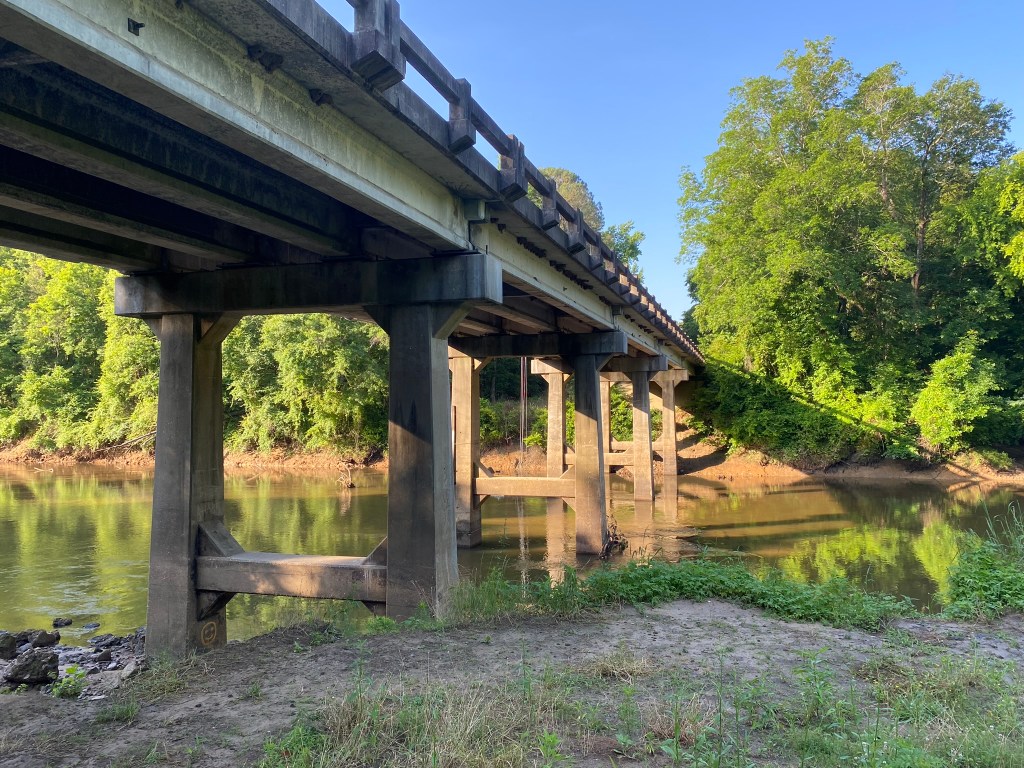
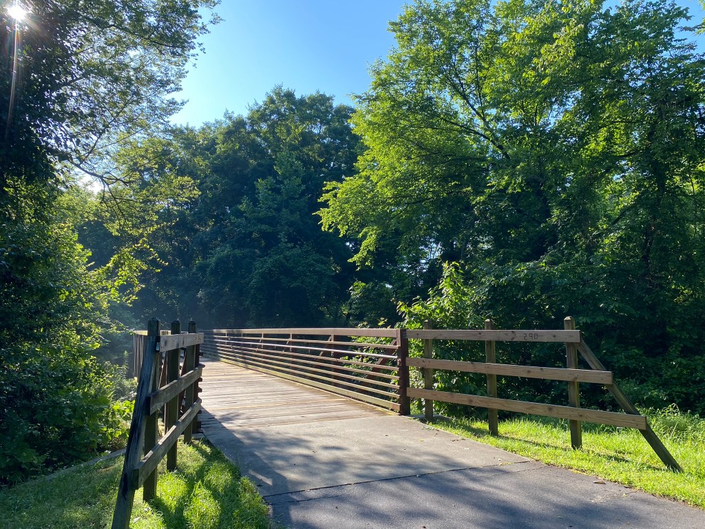
I crossed under two roads: Mial Plantation Road and later, Covered Bridge Road.
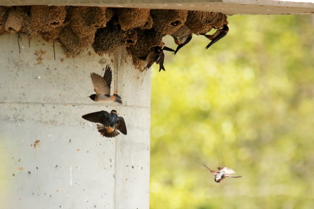
There was a sizable Cliff Swallow colony nesting under each bridge.

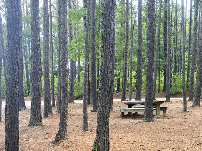
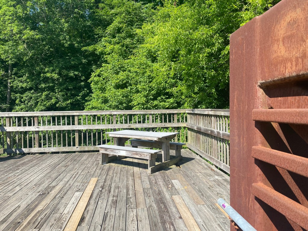
Lots of shade for a Happy Hiker!
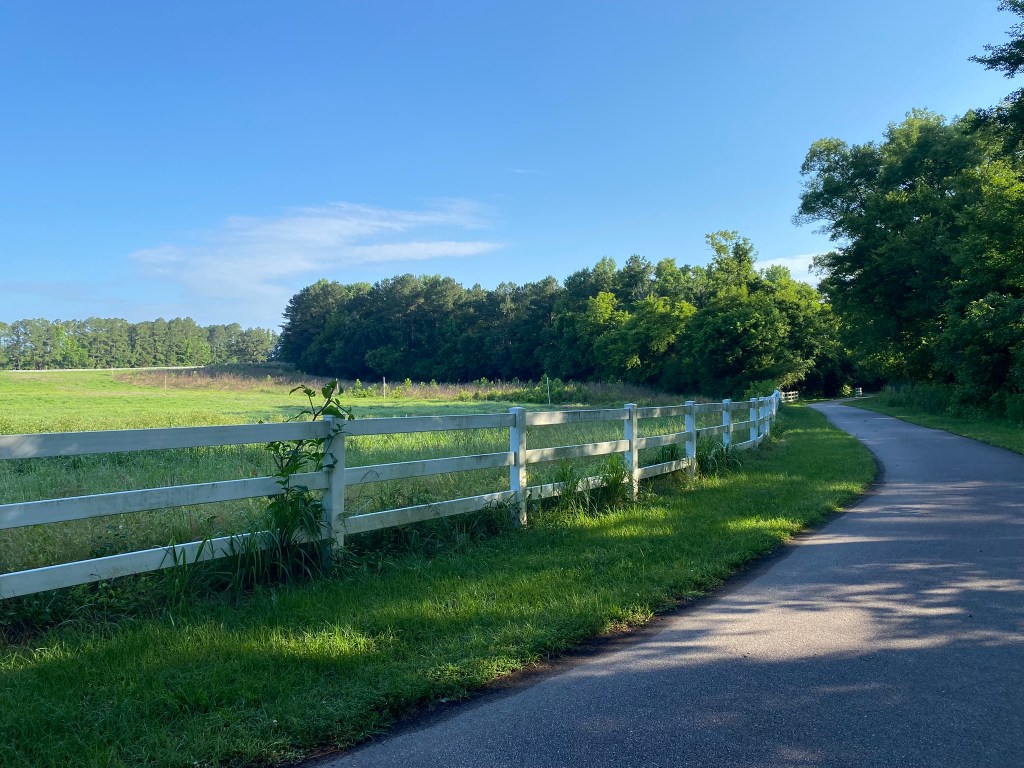
I thought I would pass by more farmland today, but it was mostly greenway right along the Neuse River.

I kept to a very strict every-45-minute hydration schedule, which really helped with the heat and humidity.
And we’re only at the very start of North Carolina’s summer, so keeping well-hydrated will be critical.
Especially when the shade disappears!
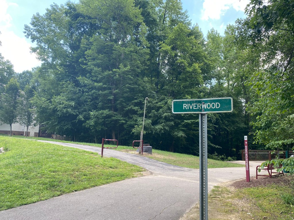
The Riverwood development had four different access points to the greenway. I’m sure they enjoy having this public resource nearby.
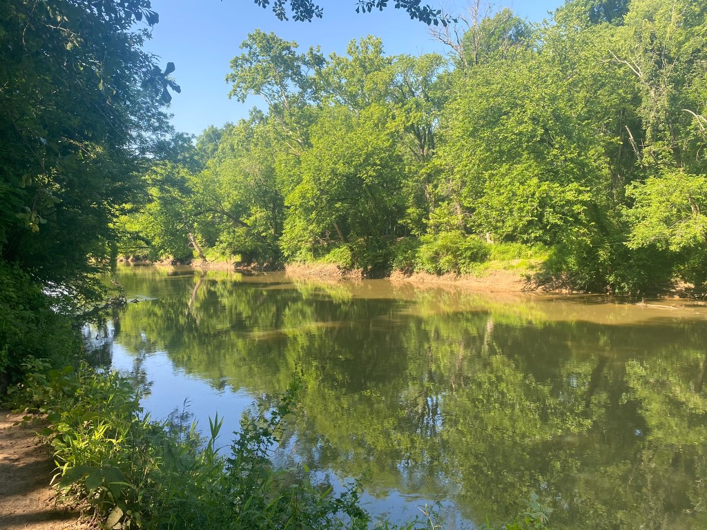
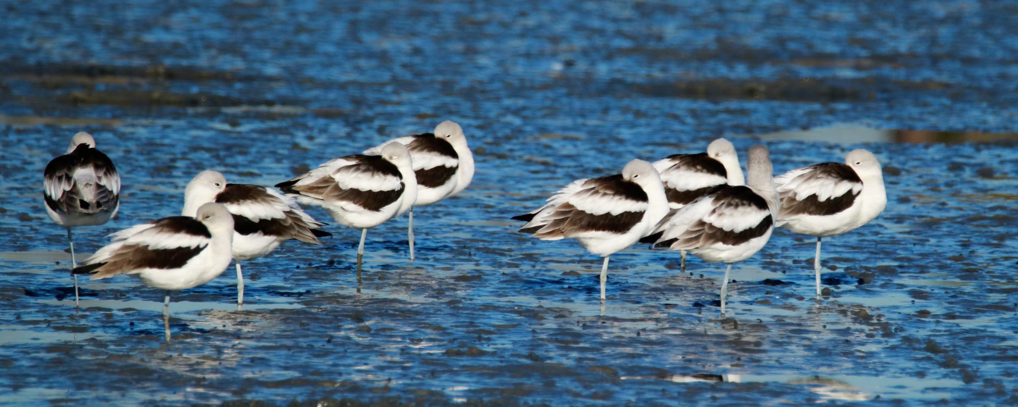
I popped down to the Neuse River to look for birds, but mostly I found…mosquitoes.
Hasty retreat!
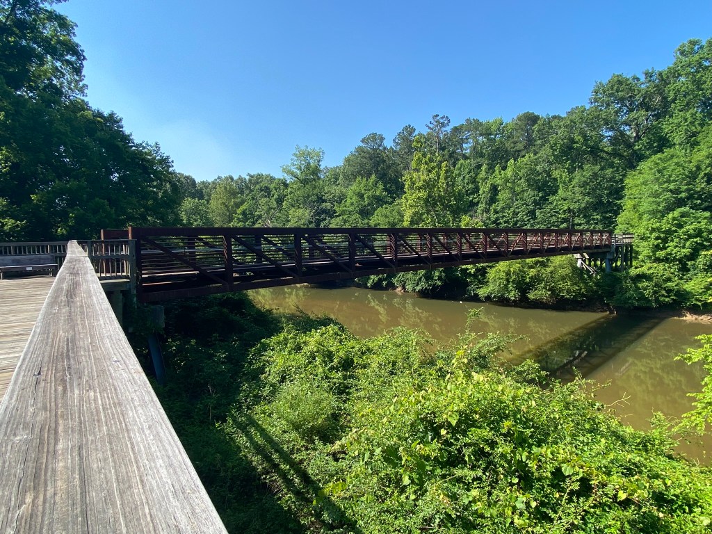
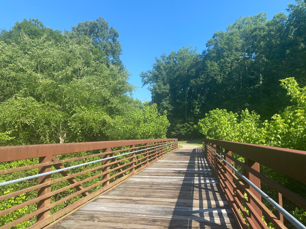
Crossing the Neuse on a very sturdy pedestrian bridge.
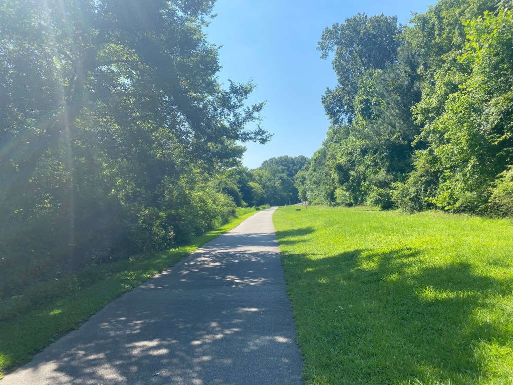
It’s nearing 10:30 a.m. and getting hot, especially in these open stretches.
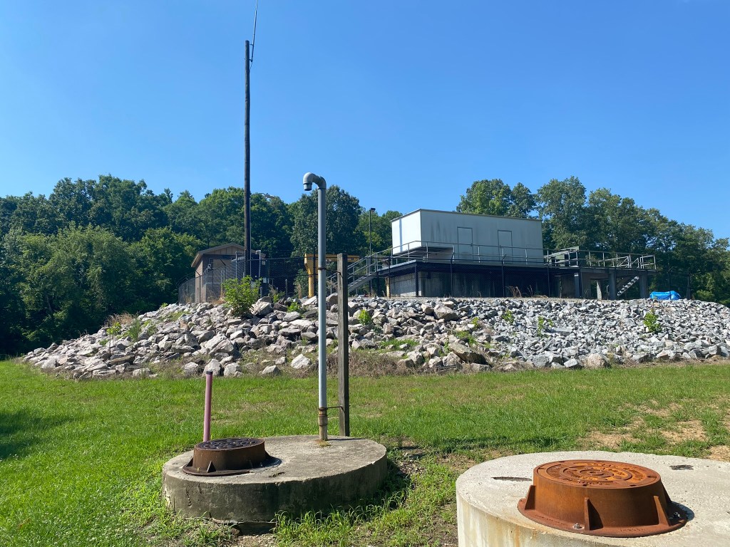
The town of Clayton is constructing a large water reclamation facility here.
Not scenic–but vital infrastructure for this growing community.
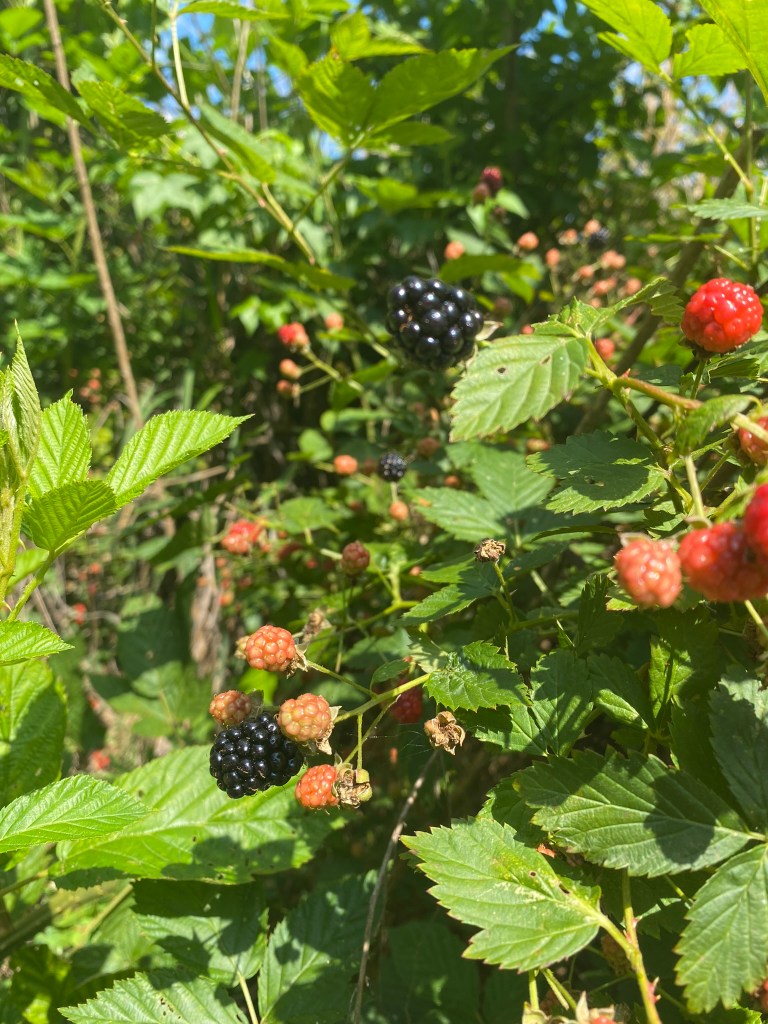
YES!!!!
I might not have noticed the berry bushes, but ahead of me on the trail I watched three children spend some time there—so I checked it out once I got to that spot.

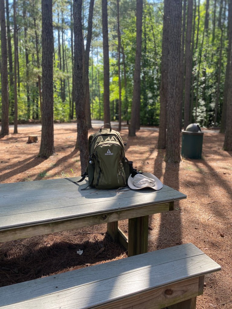
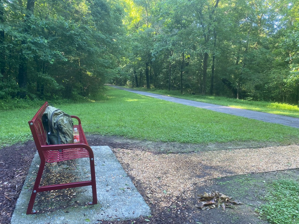
Isn’t this nice? This was one of my favorite turnaround spots. A Wood Thrush was singing away, and a comfortable place to sit in the shade!
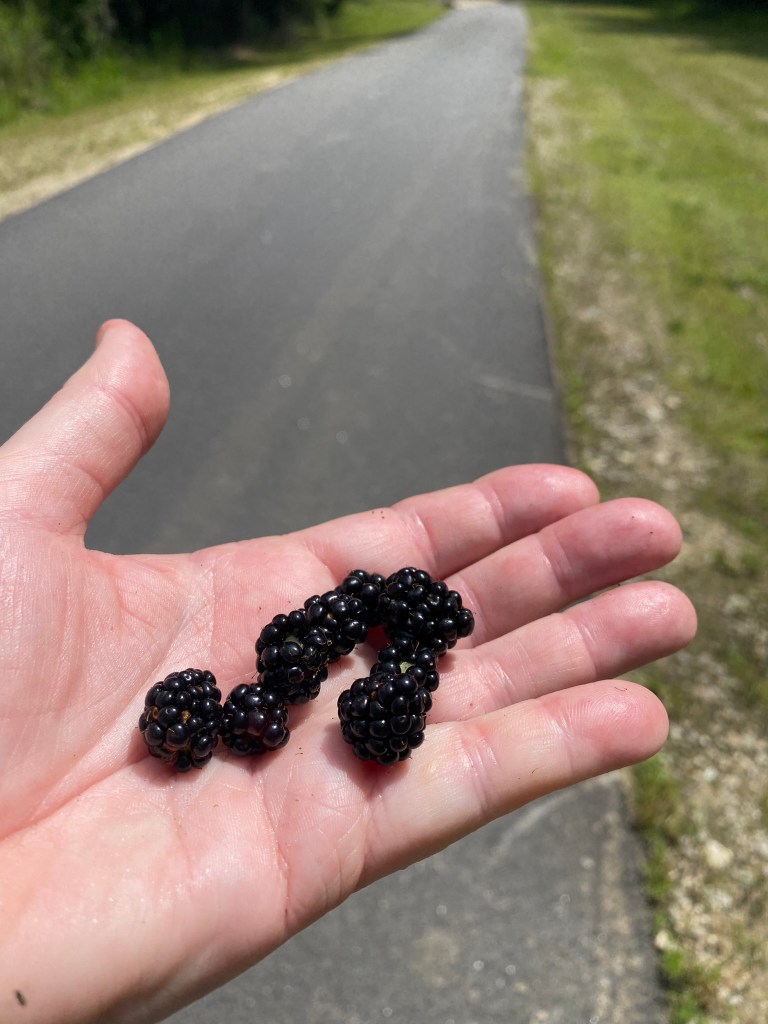
And of course on the way back I stopped for another handful of yumminess!
