Black Balsam Knob Road Trailhead to Bear Pen Gap, westbound
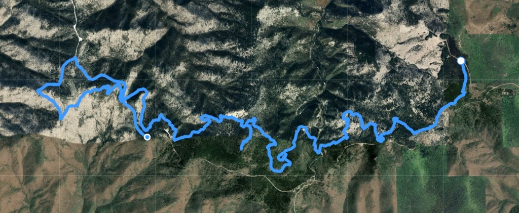
September 8, 2025. This is the first hike of two more in Segment 2, close to Brevard, where we stayed both nights with family. The hike was 12.9 miles, with an additional .6 mile (mostly uphill) connector trail at the end.
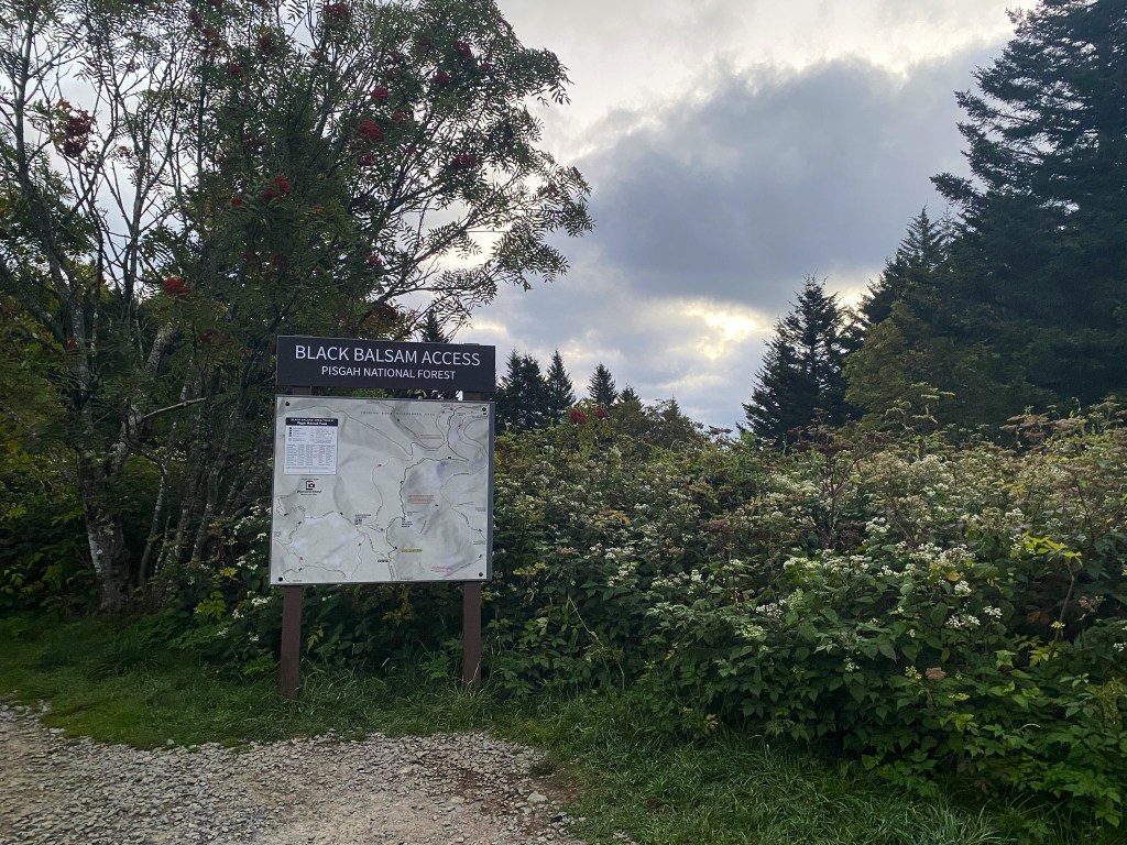
This is a very popular area for local hikers, but we arrived right at dawn when there were still plenty of places to park along Black Balsam Road.
Just a tiny bit nippy at 7am, so I started off with the light jacket.
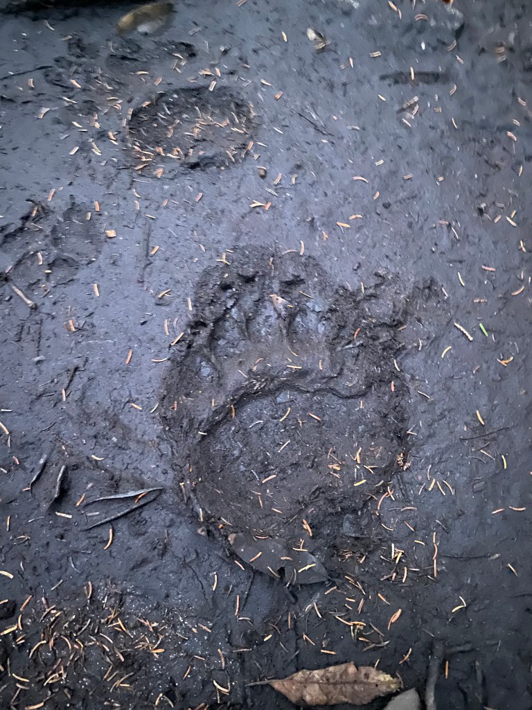
The closest I’ve been yet to a bear….to my knowledge, anyway.
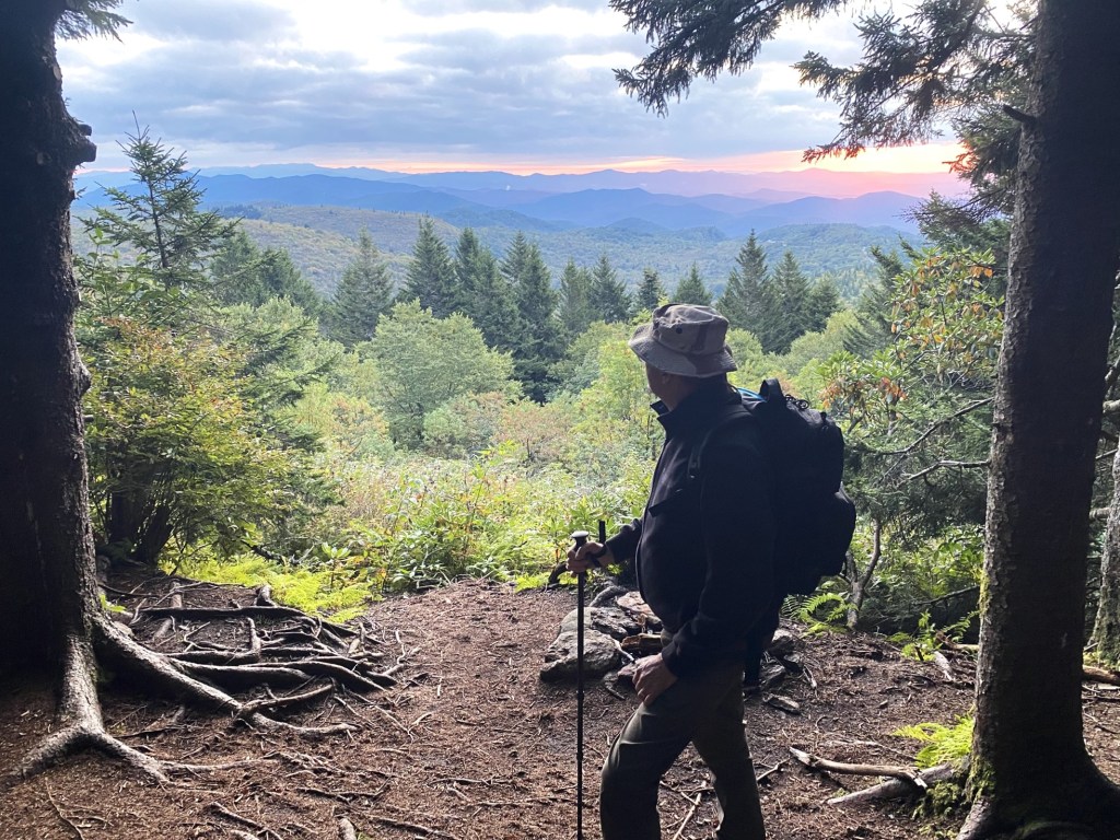
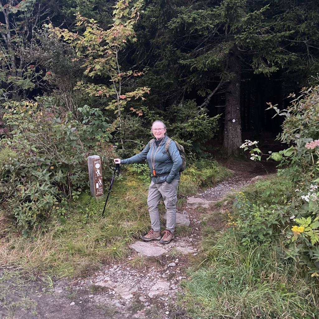
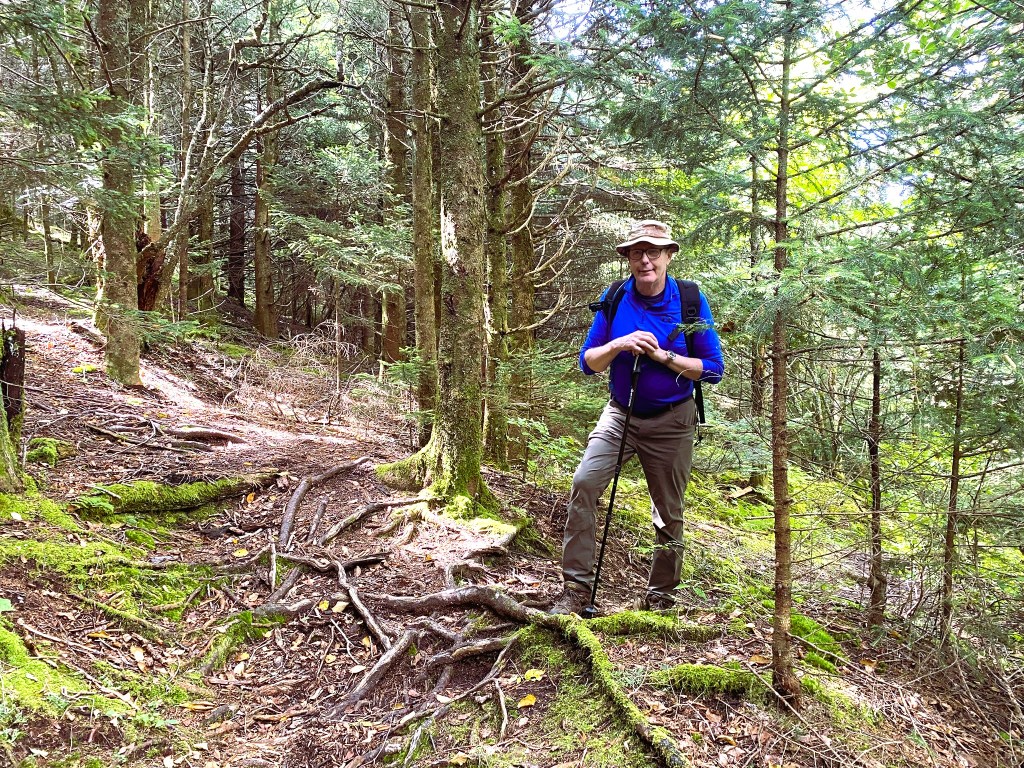
We greeted the full sunrise. Did I say, “WE“? Yes, I had a hiking partner today, my brother-in-law, Rick. With almost 900 miles behind me, this is the first time I haven’t been hiking solo!

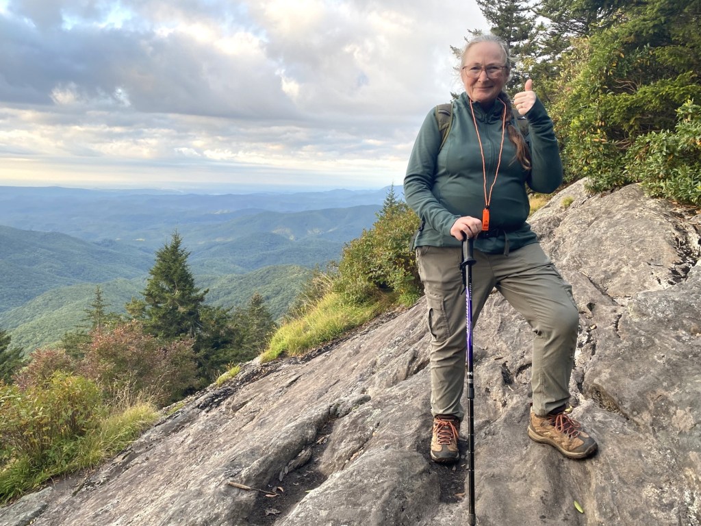
There were several fun overlooks where we could check out the view. Rick knew the names of all the peaks.
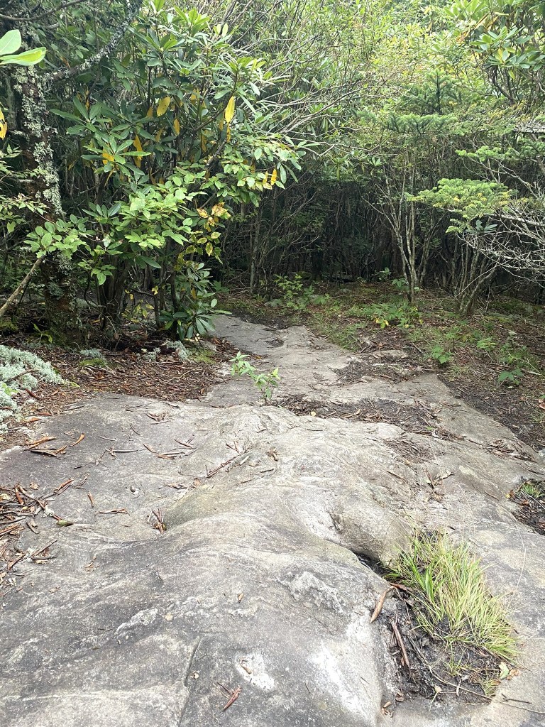
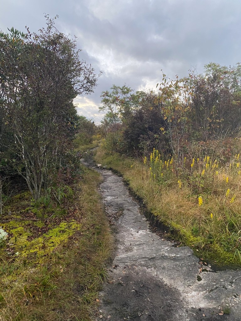
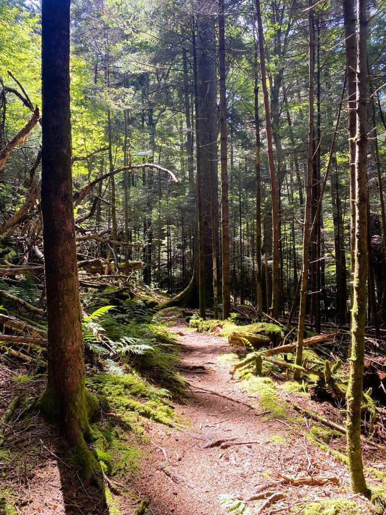
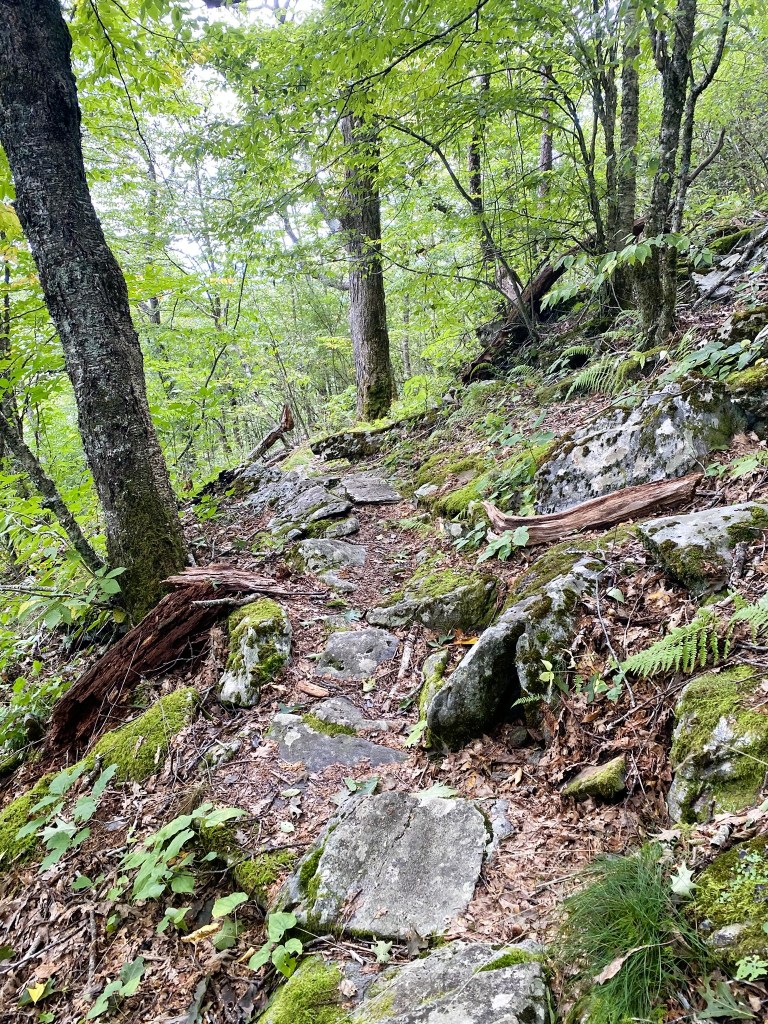
Rocky trail.
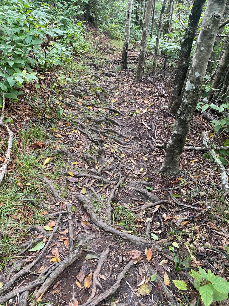
Rooty trail.
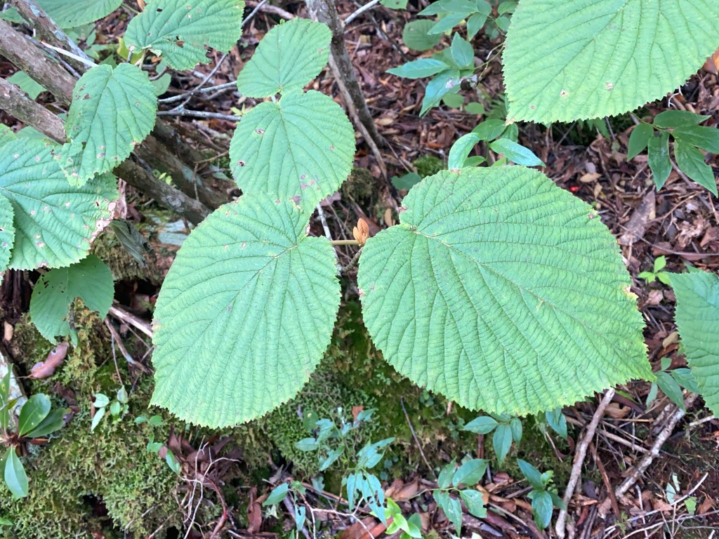
Hobblebush was a new plant for me to identify with my “Seek” app. The pendulous branches take root where they touch the ground, which form obstacles which easily trip up—or hobble—an unobservant walker.
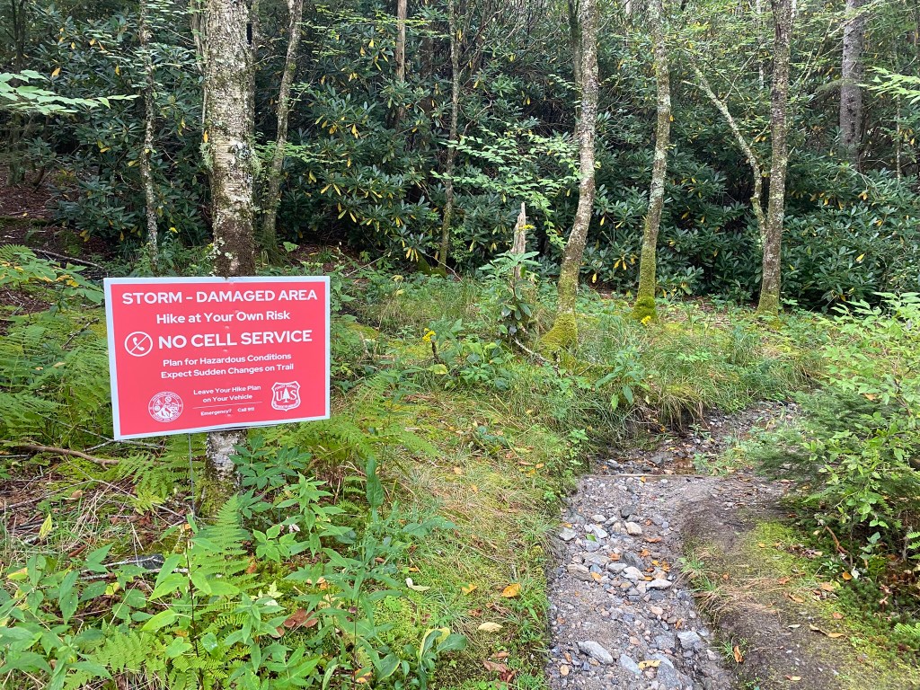
We had no cell phone connection THE ENTIRE DAY. By now I have a pretty good idea of how long a hike will take, and we had pre-arranged the approximate pick-up time with my husband-shuttle driver. I figured he wouldn’t worry too much this time when he didn’t hear from me, since I had a hiking partner!

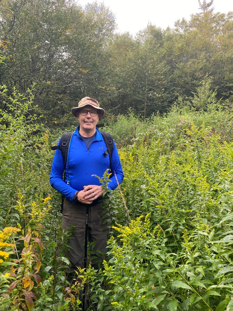
Rick is TALL, but I was swimming through these patches of meadow.
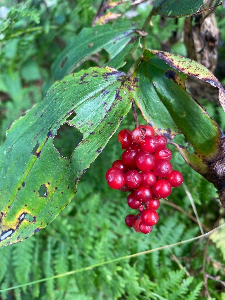
The berries are edible, but are a laxative in large quantities, which is probably why we found so many of them in a pile of bear scat.

Enjoying our mid-hike break. It’s good we had this breather, because shortly hereafter I got us off-route and we ended WAAAY up on a ridge.
Here’s where I paused, and finally broke out my FarOut app, which I should have done a mile earlier when I first began having difficulty matching the terrain to the MST trail description.
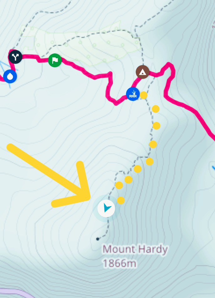
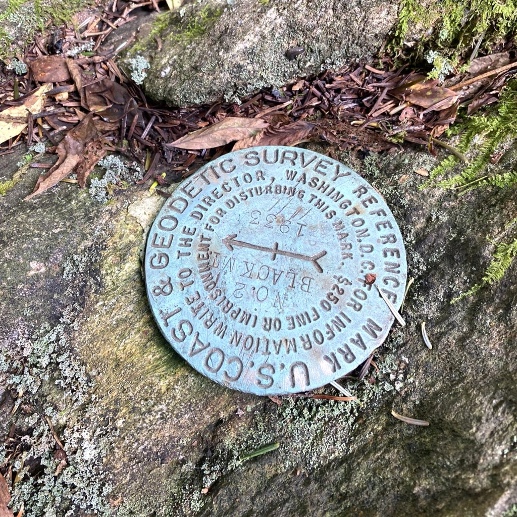
Basically, we summitted Mount Hardy by mistake.
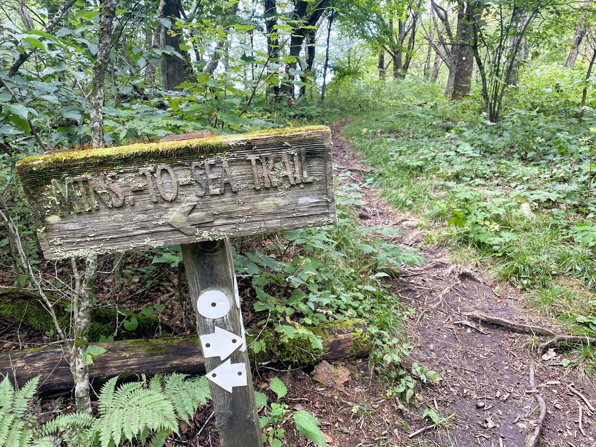
No trail signs or markers are allowed in the Middle Prong Wilderness, but I don’t really depend on them for route guidance. I simply got sloppy in paying attention and confirming our location with the App. It was a strenuous, energy-sapping detour, unfortunately.
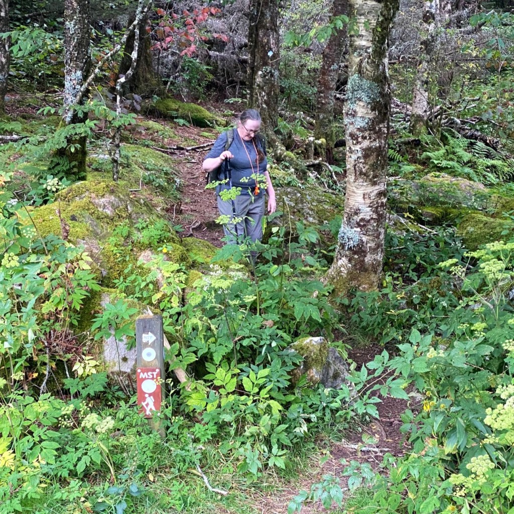
Finally back on-route, Rick is standing on the ACTUAL trail. We veered off to the left on the larger, seemingly more traveled path–but that was actually the Mount Hardy turn-off. We were supposed to “bear right” at this point. I hadn’t even noticed there was any trail junction here at all!

I was happy to have confirmation that we were once again where we should be, making forward progress. Back-tracking is a painful process.
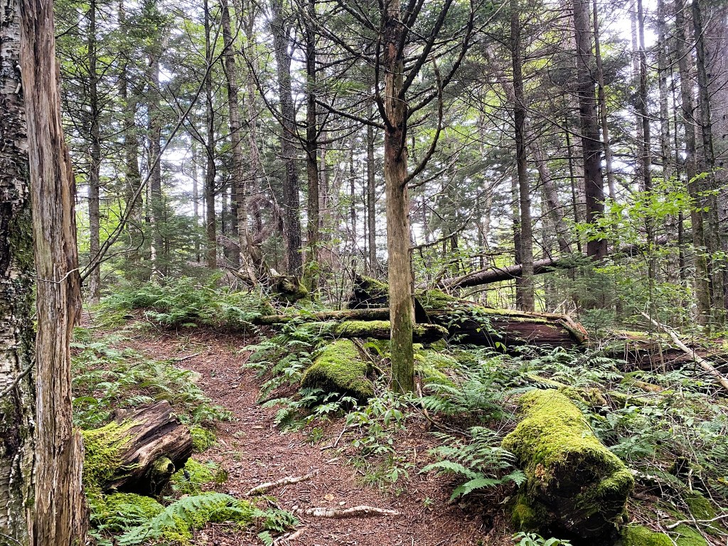
From there on, the route was easy to follow. We passed by many hikers who were also out enjoying the beautiful Pisgah National Forest.


At the Haywood Gap Trailhead, Rick decided to walk up the Parkway to rendezvous with our driver, while I finished off the last 3 miles on the MST.
There was one last gnarly section of steep, rocky terrain.
At the end (Bear Pen Gap) we met a woman who was trying to locate her daughter, who was solo hiking the MST in the opposite direction from us, but I hadn’t seen her.
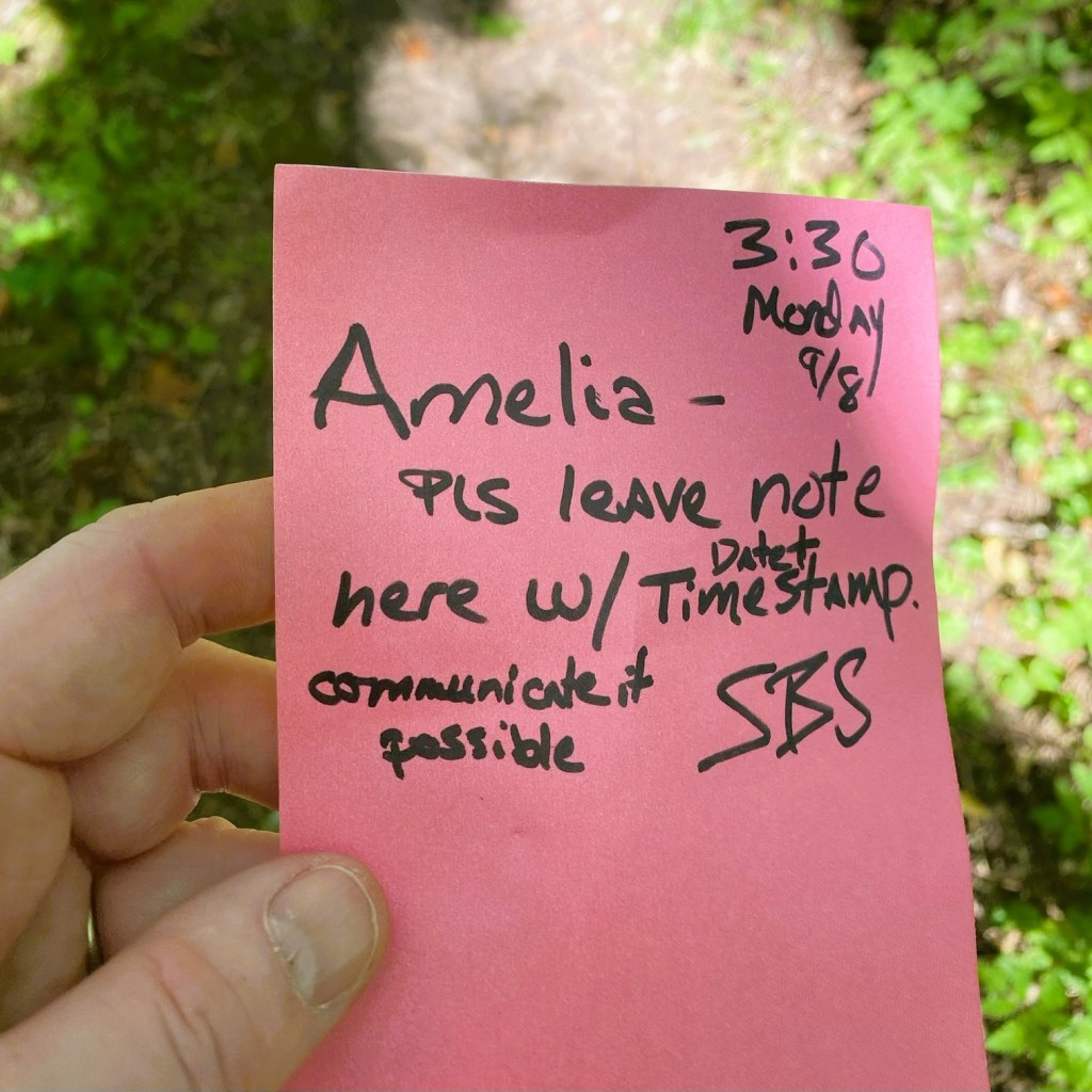
She had been leaving notes at the crossovers, hoping to make a connection. (Stay tuned for a happy ending in tomorrow’s blog!)
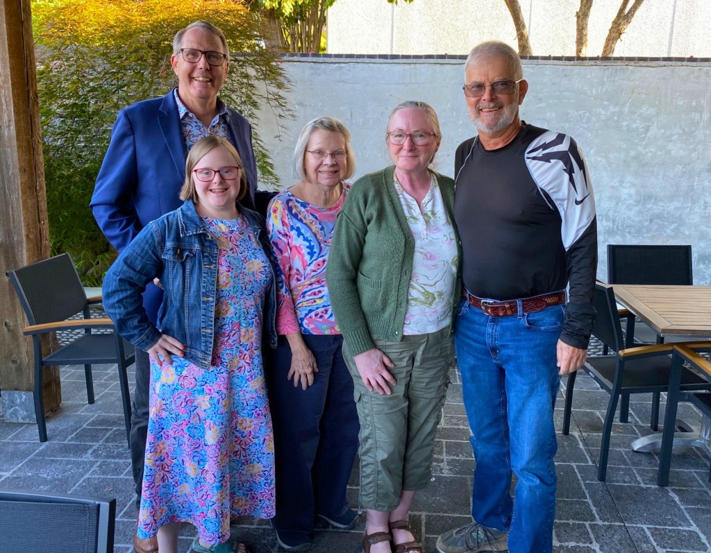
After driving down off the mountain, we got cleaned up and enjoyed a meal out with our Brevard family.
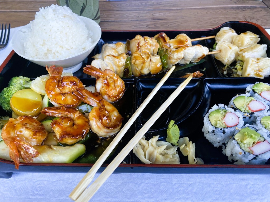
Rick and I ordered the exact same bento box. Hiking 12 miles together must sync up your tastebuds!

Good to hear and see that you had a walking partner.
Your niece is a snazzy dresser!
Lorraine Boyd
>
LikeLike