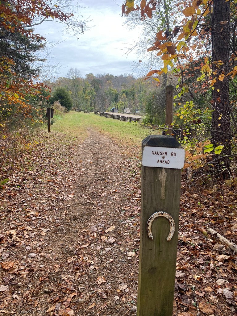
Pilot Mountain to Hauser Road Trailhead, westbound
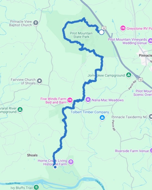
November 5, 2024. This was my 50th MST hike! I began almost a year ago, on November 20, with a whopping 2.5 mile hike not far from my home in Hillsborough. I wanted to mark this milestone with actual trail, rather than walking on road shoulders, so I decided to knock out the remaining 11.1 miles of Segment 7.
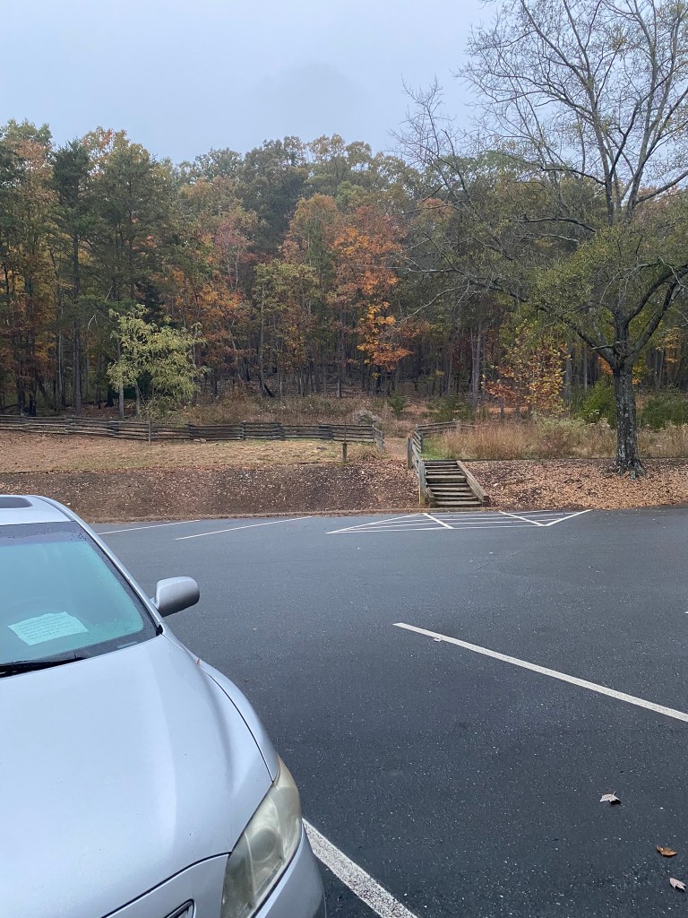
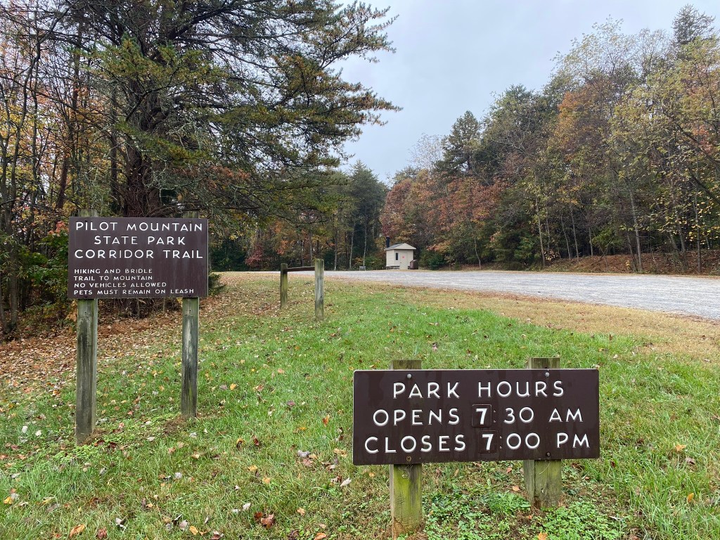
The gate at Pilot Mountain opens officially at 7am, and I parked at the Old Visitor Center.
Does anybody else look back and wonder whether their car will actually still be there when you return? Not broken into? Battery still charged? Tires not flat?
So far, so good. (Thank you, Lord!)
Pilot Mountain was enveloped in cloud-cover, and within five minutes I knew I needed to….
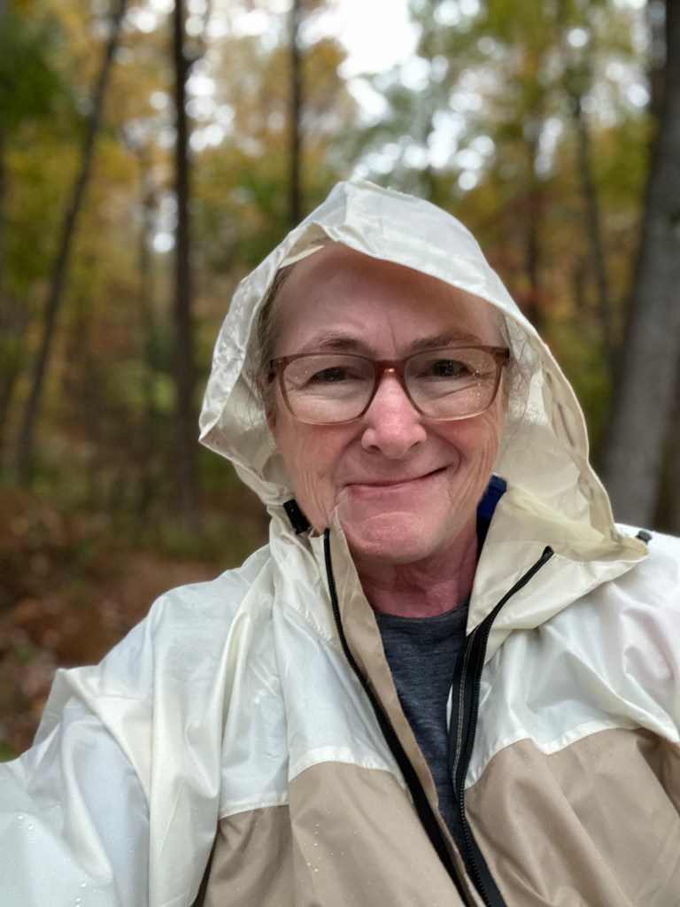
…break out the rain gear! First time I’ve used it, because I usually avoid inclement weather altogether. It wasn’t POURING, but it was heavily drizzling.
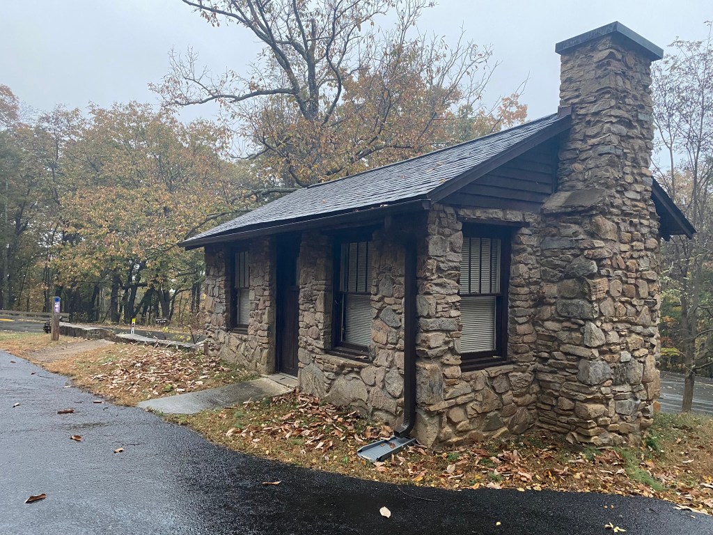
This pretty stone structure once was the tolling place for Pilot Mountain, and then the park office.
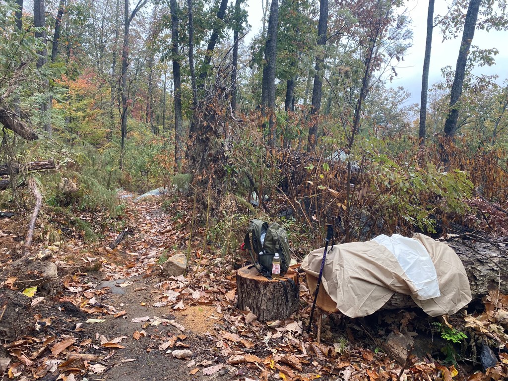
I missed my turn here, but figured it out pretty quickly. My printed sheet of directions was looking pretty soggy by this time, so I was happy to have the FarOut app as back-up in case it disintegrated completely.
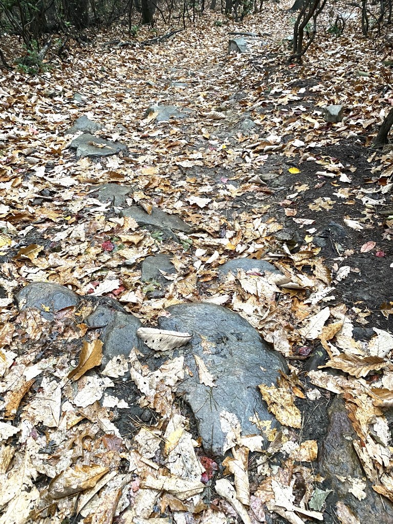
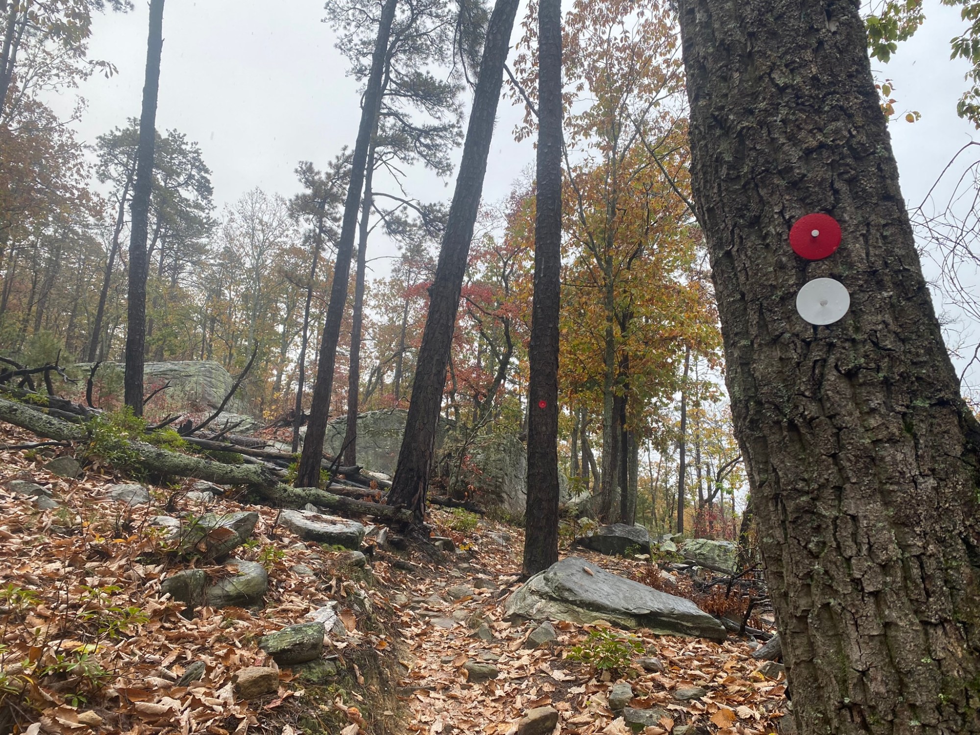
I took my time over all the slick, leaf-covered rocks, and of course I had my hiking pole.
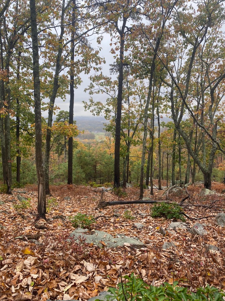
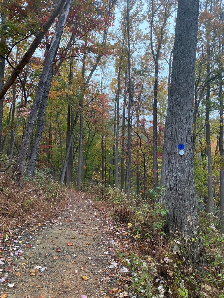
Woo hoo! As I began the gradual descent from Pilot Mountain, I got below the wet cloud.
So I didn’t need the poncho any longer.
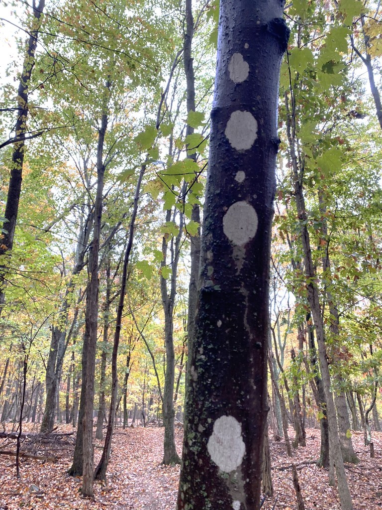
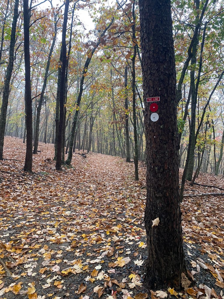
This is a type of lichen, just pretending to be an official MST marker. They’ve led me astray on more than one occasion!
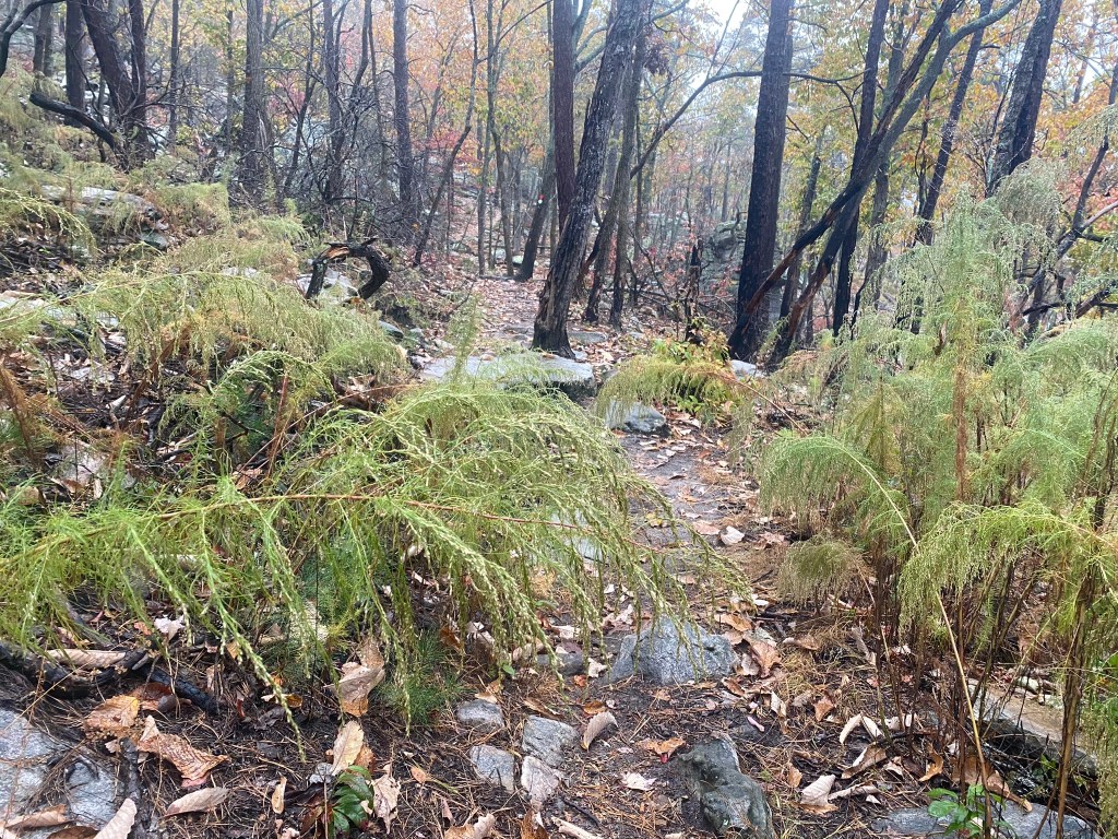
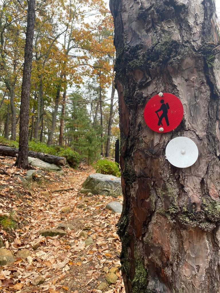
From this point on the trail becomes a much wider path, suitable for horses. And that little house is actually a very clean vault toilet, which was much appreciated!
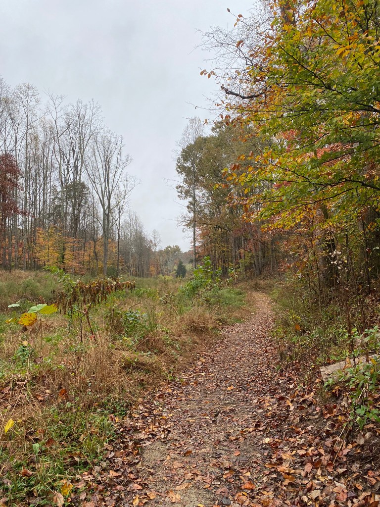
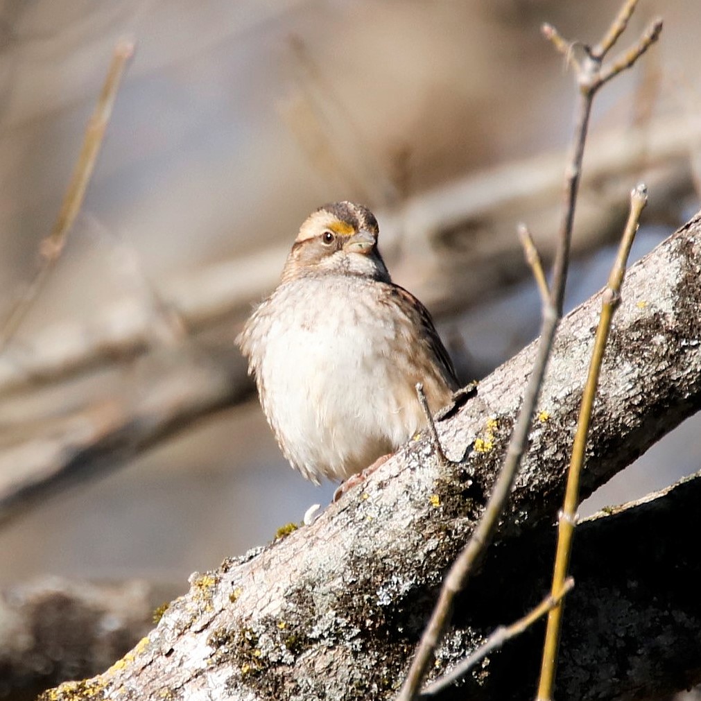
White-throated Sparrows love this kind of habitat!
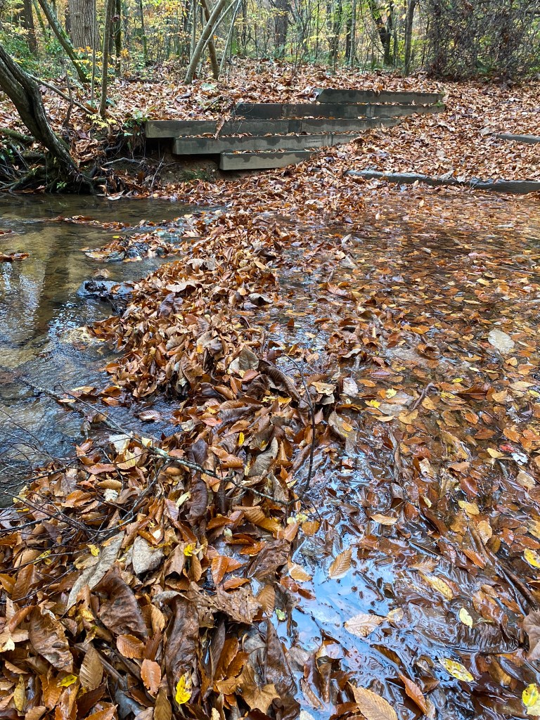
The instructions said to “rock-hop” across Matthews Creek, but that did not look safe at the moment.
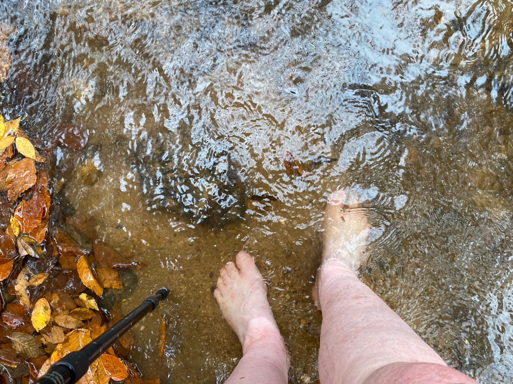
This was the—refreshing—option!
I crossed downstream of the leaf-dam, so I could see the best places to step–avoiding slippery or sharp rocks. I am old-lady cautious, because a few years ago I fell while crossing a similar creek, broke my wrist and developed a very nasty infection in a gash in my leg.

After crossing I had a nice long break to dry out my feet and switch to my reserve pair of socks.
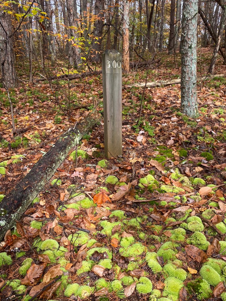
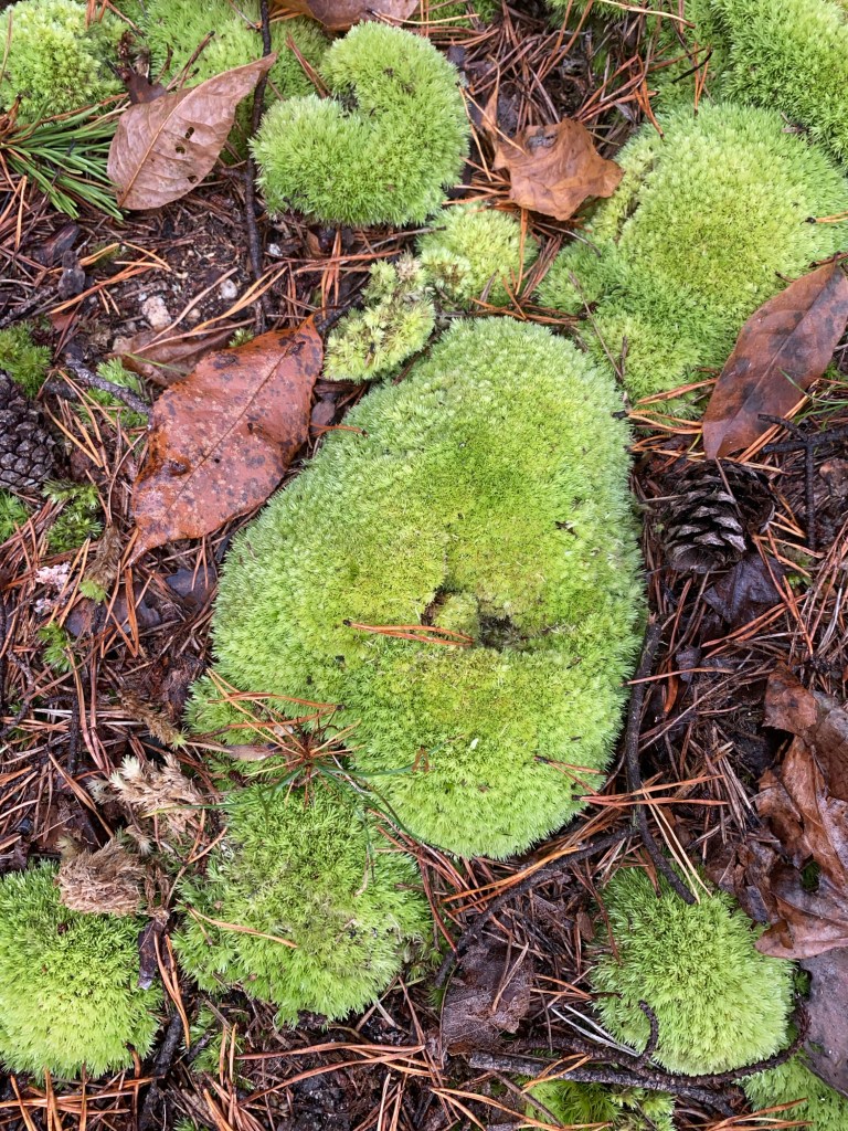
This trail marker was surrounded by a pretty patch of Pincushion Moss.
This creek crossing was a lot easier!
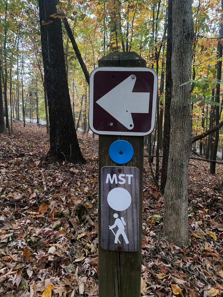
Ummmm, this intersection could really use some trail-guide information or a marker. But once again, the FarOut app made it clear which way to go.

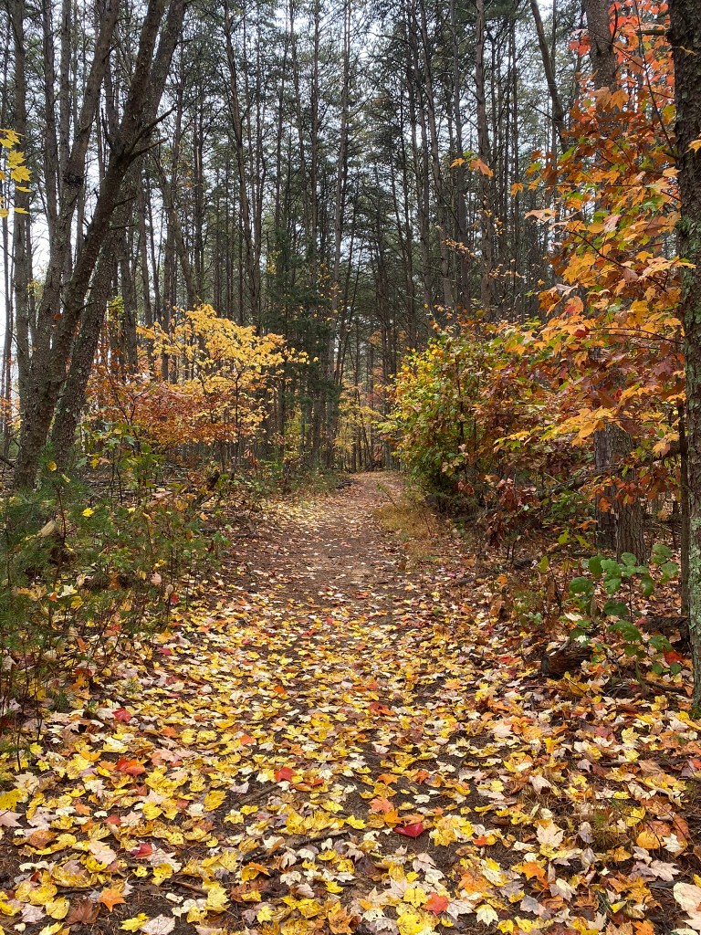
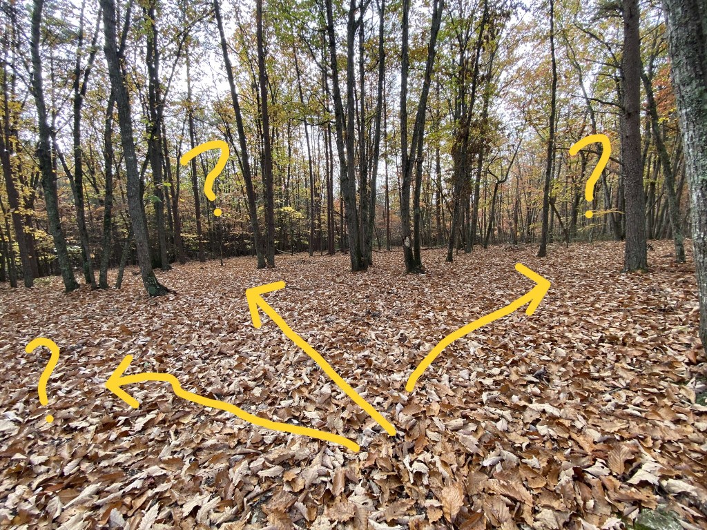
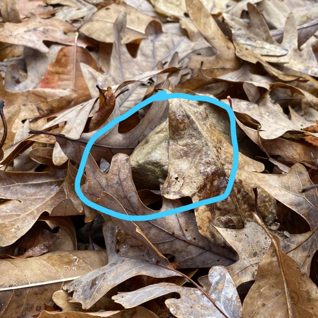
The other down-side of heavy leaf cover is that you really cannot see all the roots and rocks that are tripping hazards.
But hurray! All went well. No falls, no lengthy wrong turns.
That finishes Segment 7, and I’ve now completed over 400 miles on the MST.
Trail Angel Terri shuttled me back to my car at Pilot Mountain.
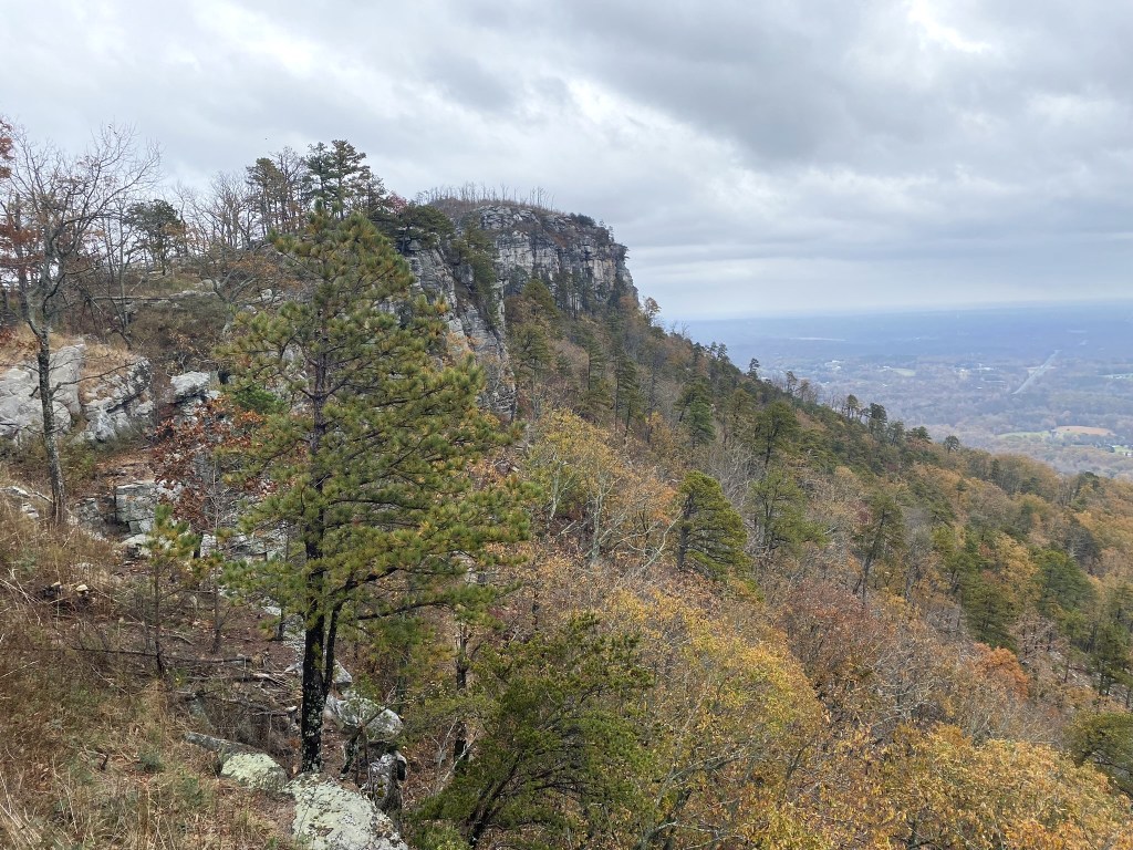
Then I drove on up to the top to celebrate . . .
Hike #50!

I am going on a sort of adventure Friday-Sunday, by car. I will visit old friends & relatives (who don’t know each other). Both families live near Waco, TX.
Thanks for taking us on your adventures.
Lorraine Boyd Cypress, TX
>
LikeLike