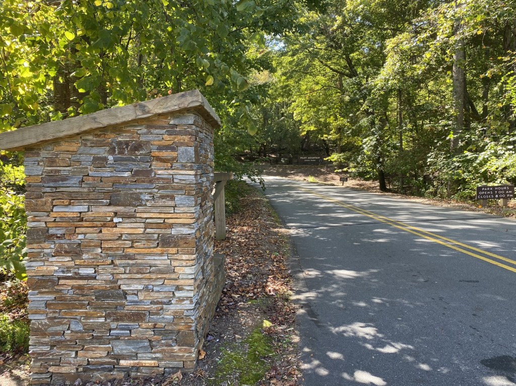
Rock House Road to Pilot Mountain, westbound
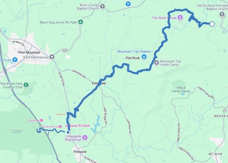
October 14. This 14.3 mile hike completed all the Sauratown Trail sections, which will be closed in November for hunting.
Trail Angel Celeste drove 45 minutes from her home to shuttle me from Pilot Mountain State Park to the Rock House Road Trailhead.
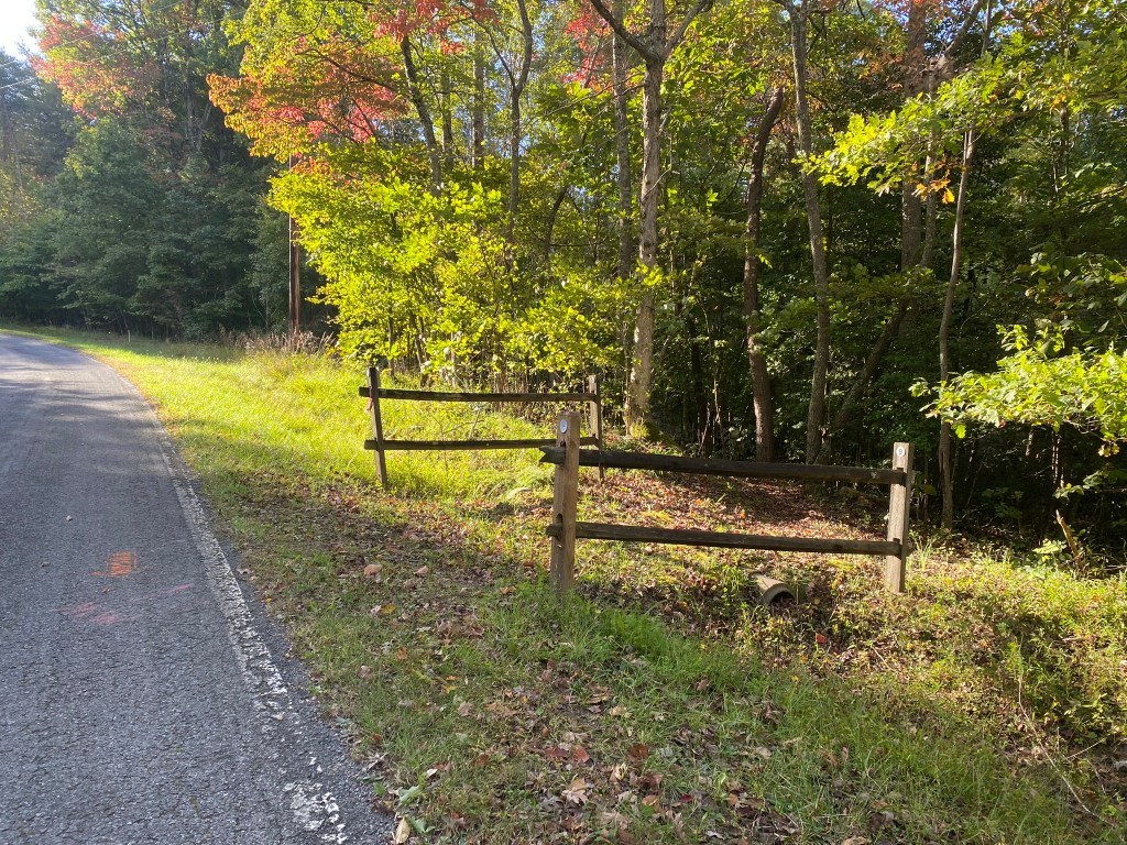
The route alternated between Sauratown trail sections and some gentle road walking.
Such a pretty fall day! It stayed in the 60s.
I started out with a light jacket, but shed it after a couple of miles.
I feel so blessed to be able to spend time enjoying the beauty of North Carolina!
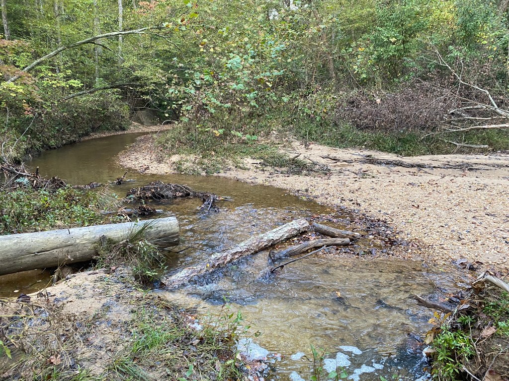
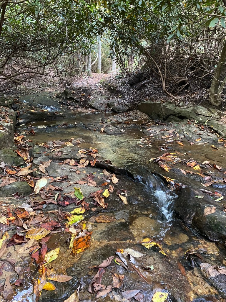
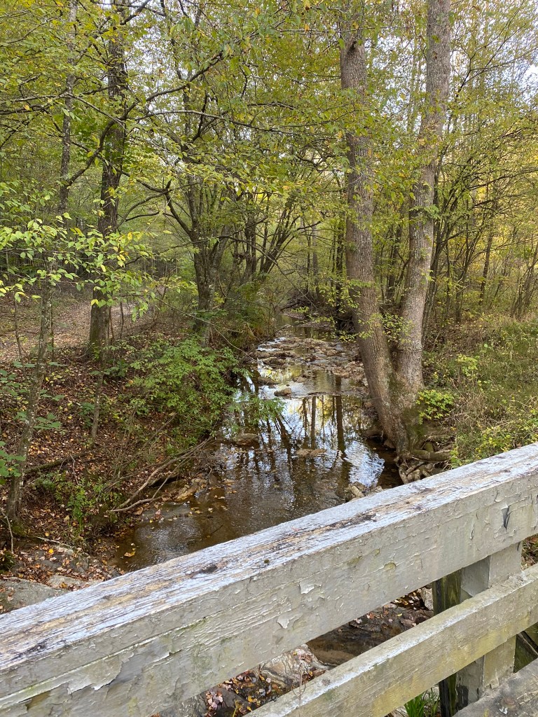
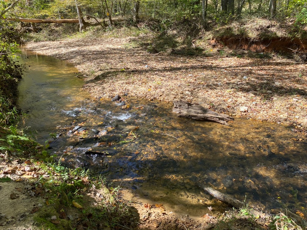
Many creek crossings! All but one had logs or stones to keep your feet dry.
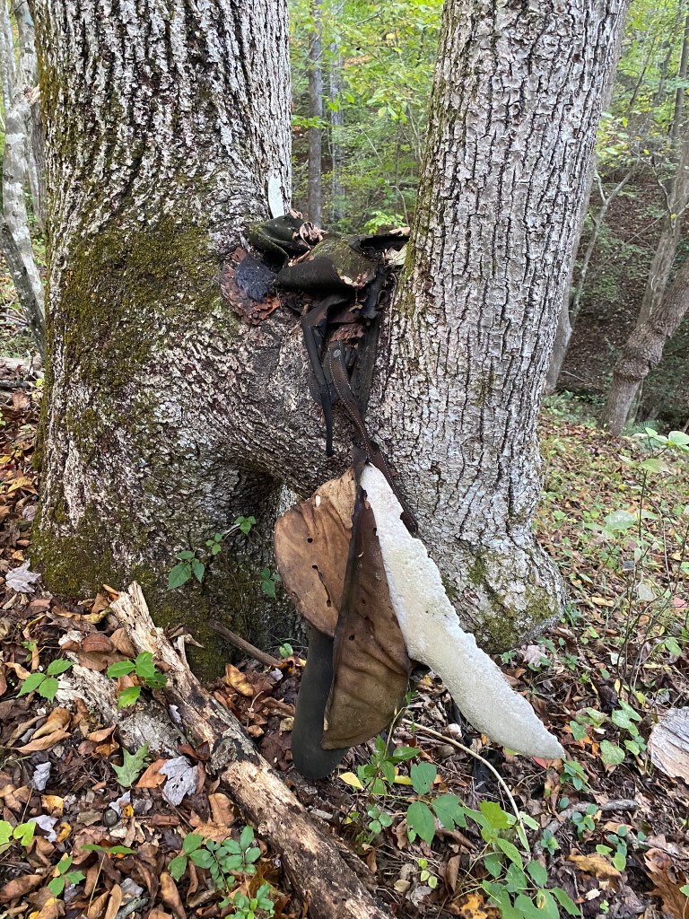
The R.M. Collins Memorial Saddle is looking a little….rough. According to the trail guide, Mr. Collins was one of the founders of the Sauratown Trails Association, and on his last trail workday placed his saddle here.
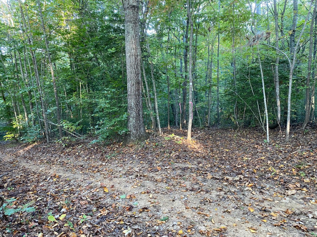
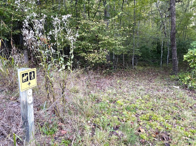
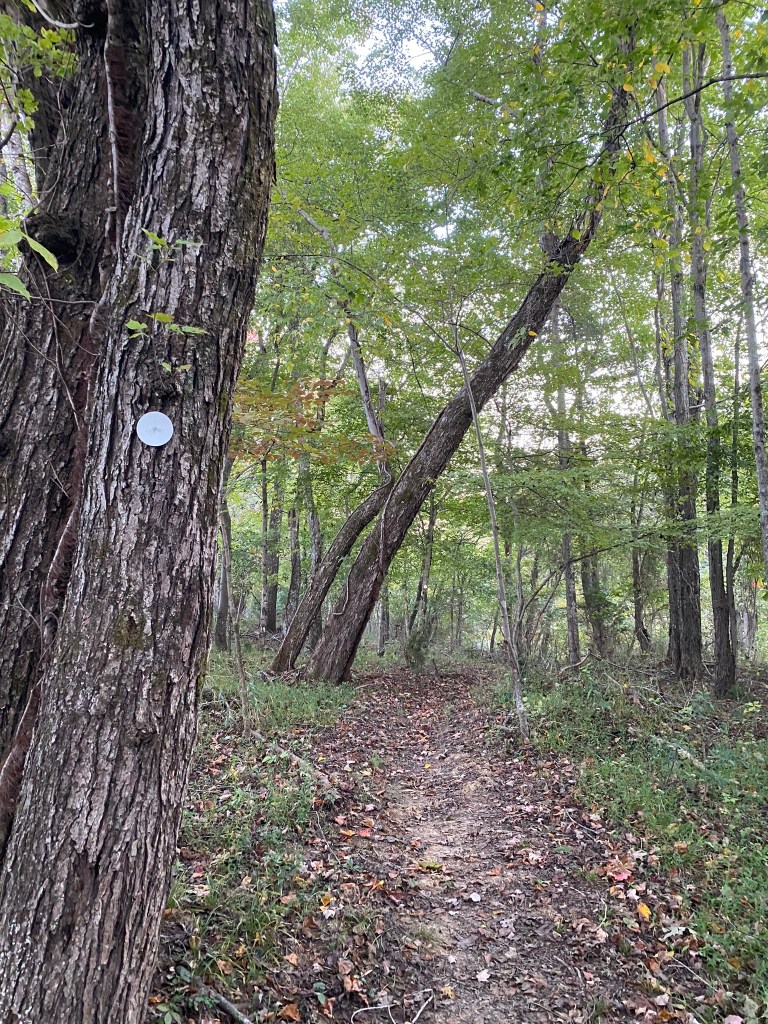
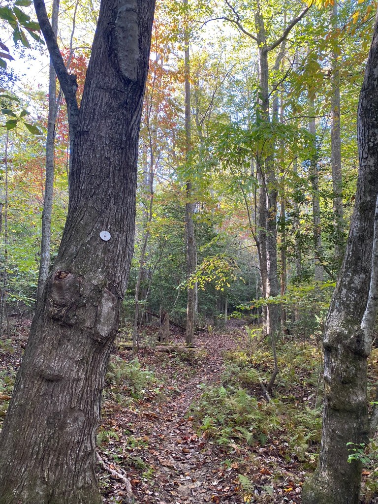
I missed three turns during this hike, which added an extra mile to my total for the day. The FarOut App proved easier to follow than the printed directions in staying on route. But there were plenty of little white circles–if I had been paying better attention!
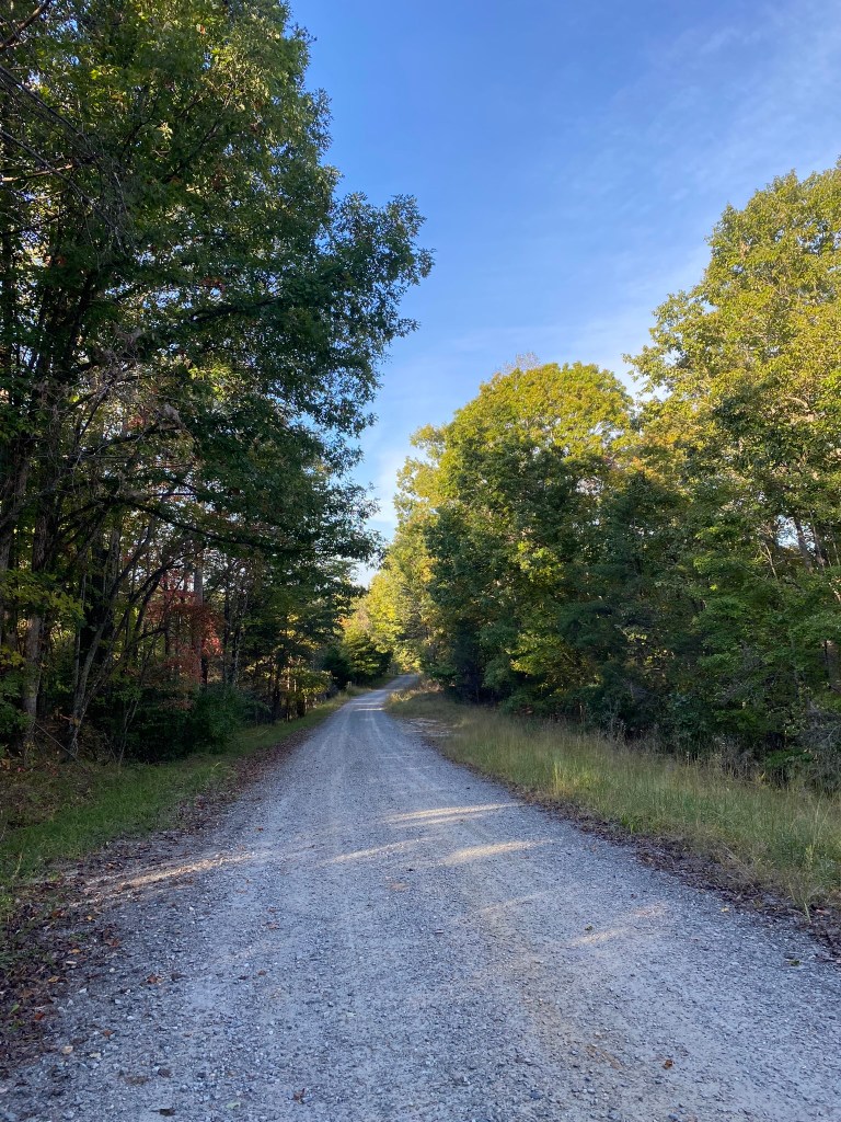
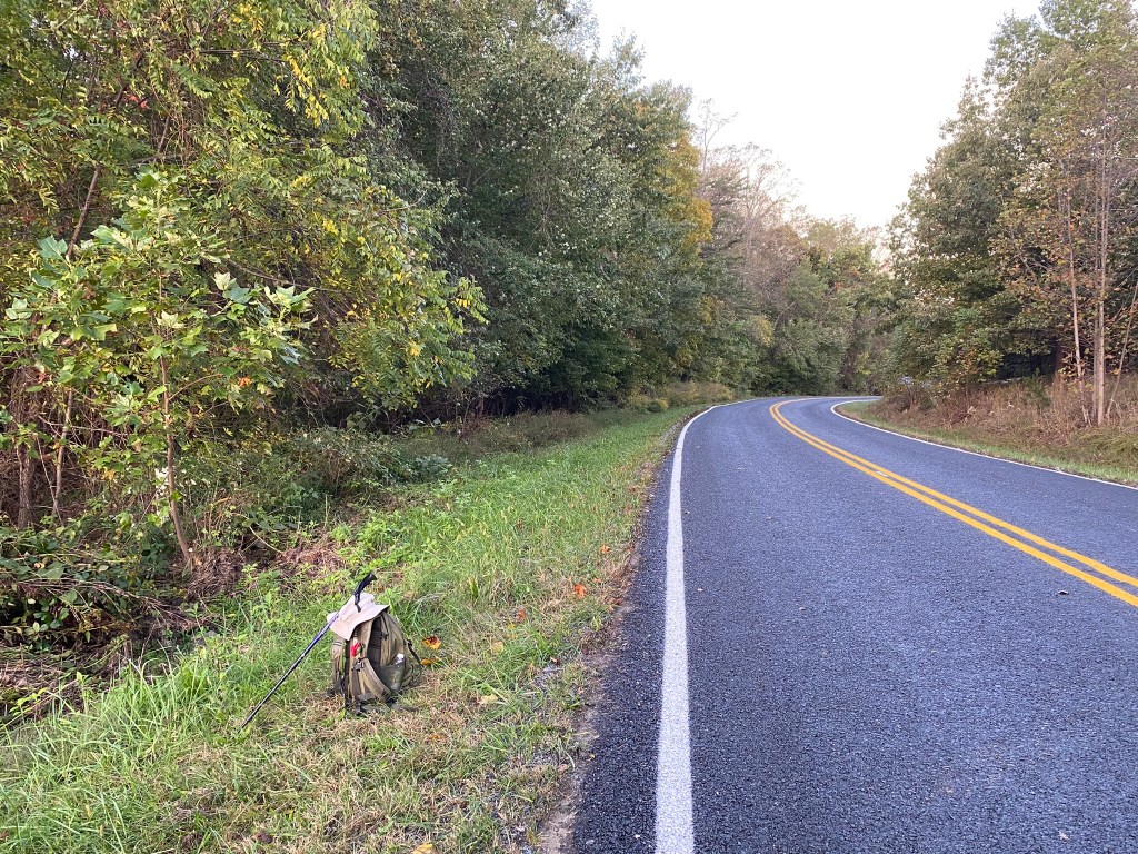
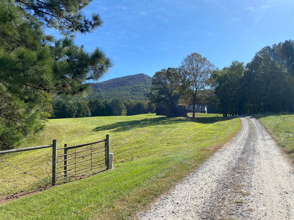
1.5 miles along pretty Thore Road
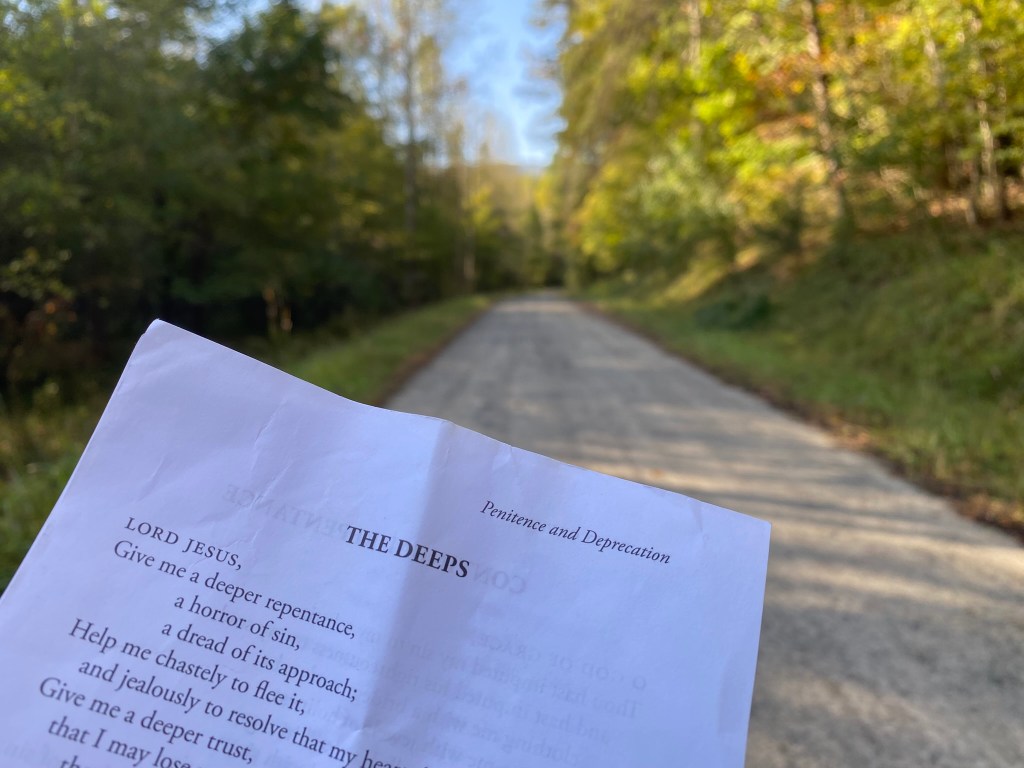
Since I didn’t have to watch every step on the gravel road, I could read and meditate on “overflowing with living water.”
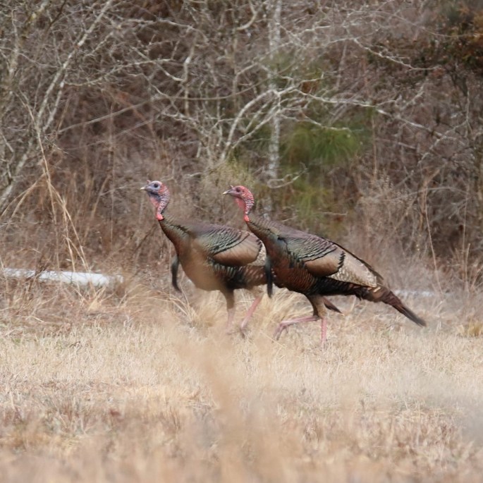
Right before turning onto Sauratown Trail section 9, I spotted two Wild Turkeys crossing the road! I had been keeping an eye out for them throughout Stokes County.
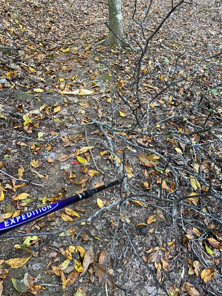
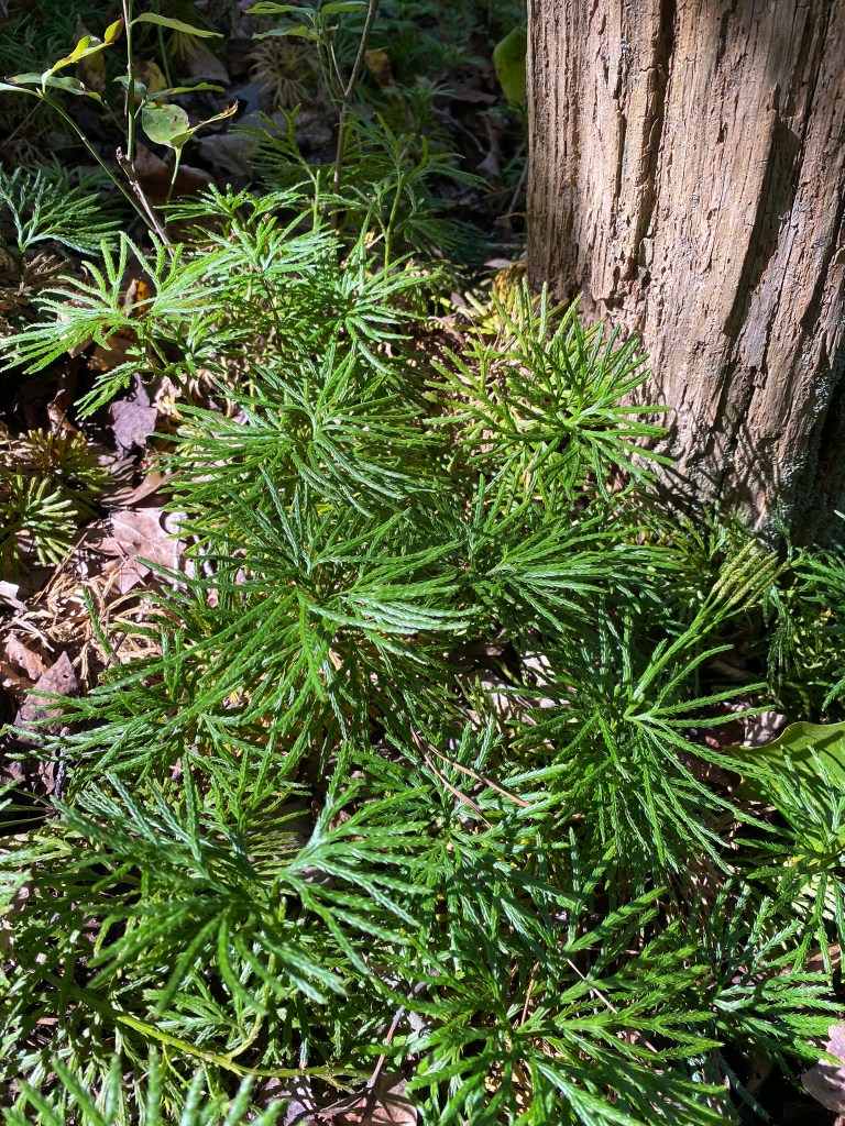
I did a little trail-clearing as I walked. There was a lot of windfall…
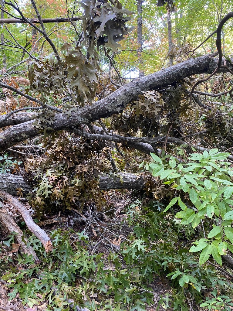
….some of it quite extensive!
A big thank you to the trail crews who maintain these difficult sections!
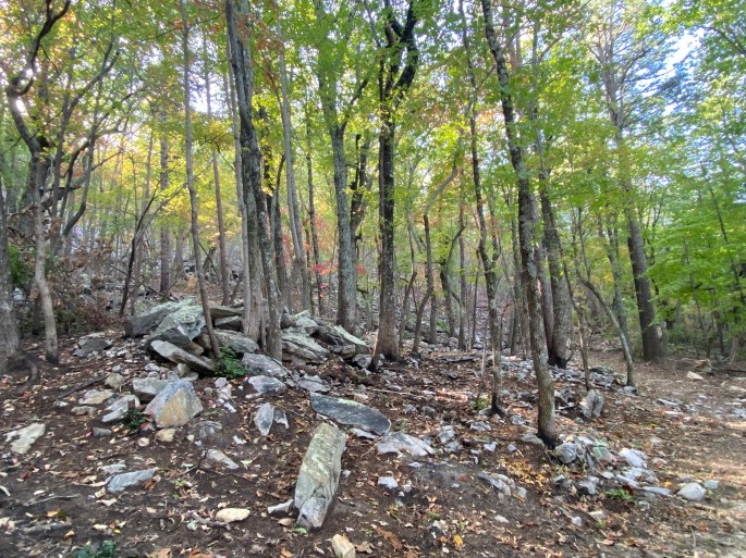
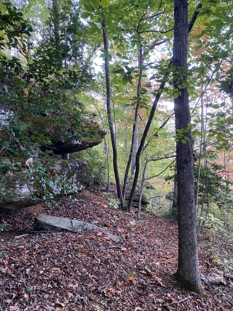
This boulder field was unexpected…and for some reason, a little creepy.
Every now and then it is good to turn around and look at the charming view behind you.

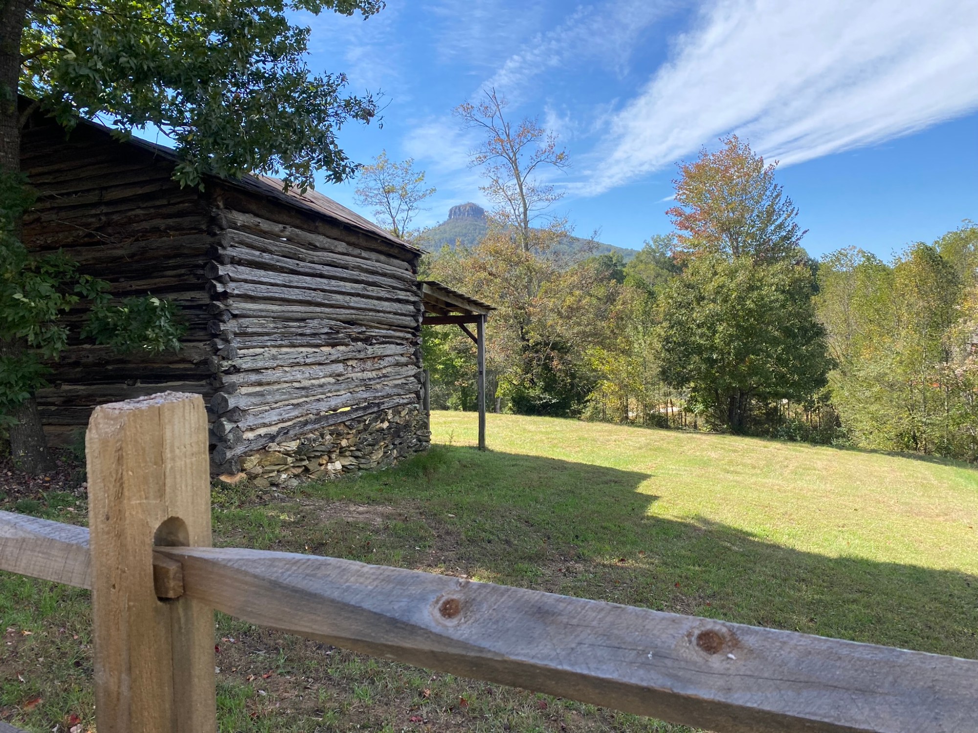
And looking forward, my first peek at Pilot Mountain!

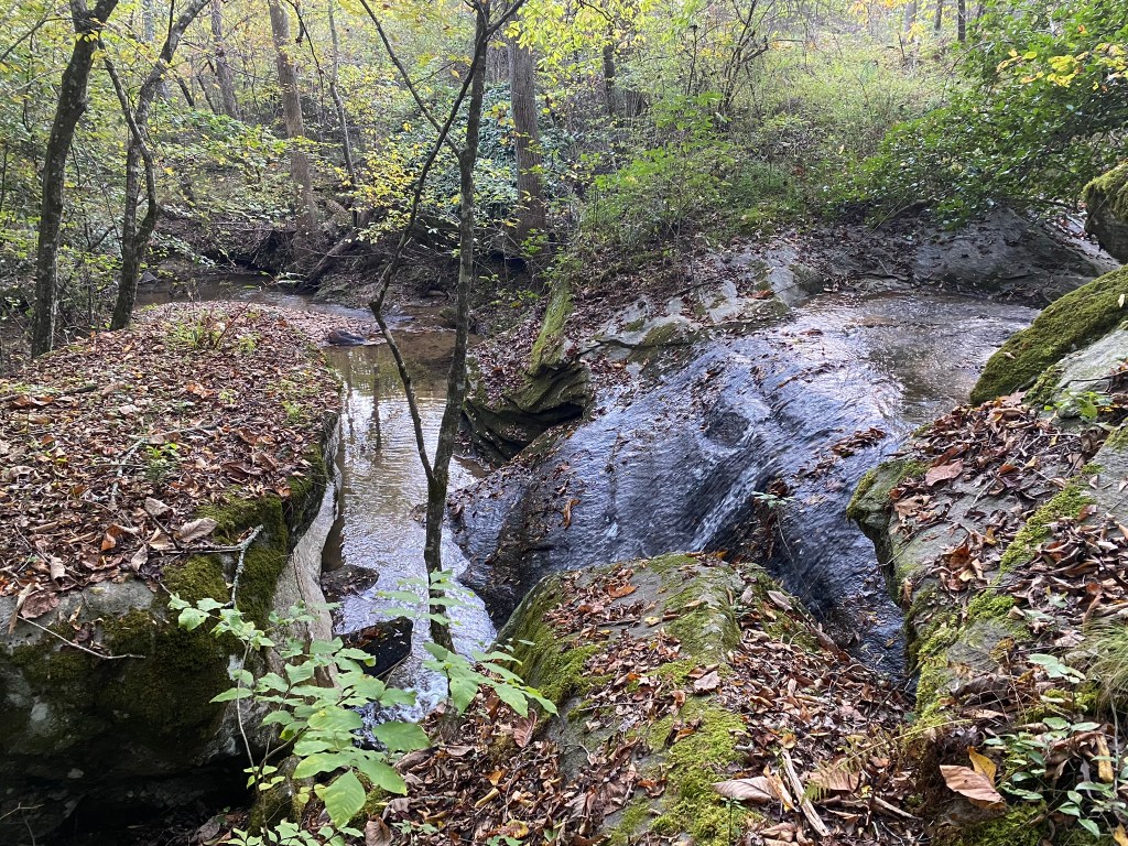
The trail guide duly warns you that crossing the West Prong of the Little Yadkin River can be tricky.
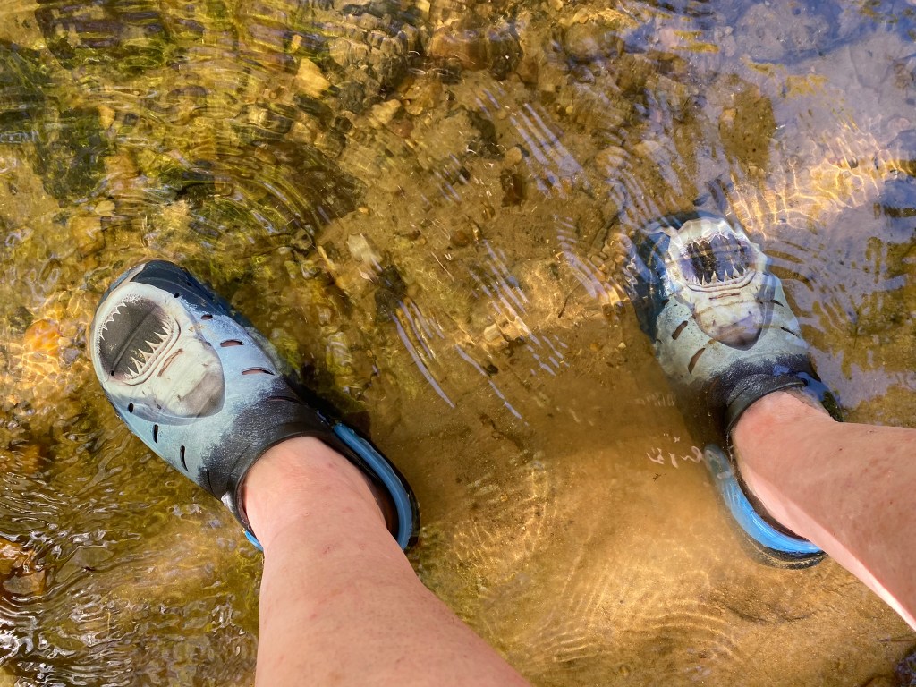
So that’s why I carried my waders along!
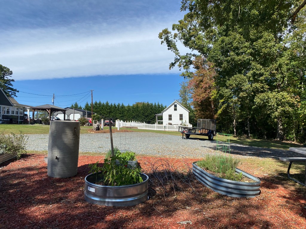
That’s the Volunteer Schoolhouse, which housed grades 1-6 in the early 90’s.

Getting closer!

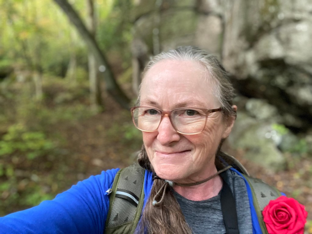
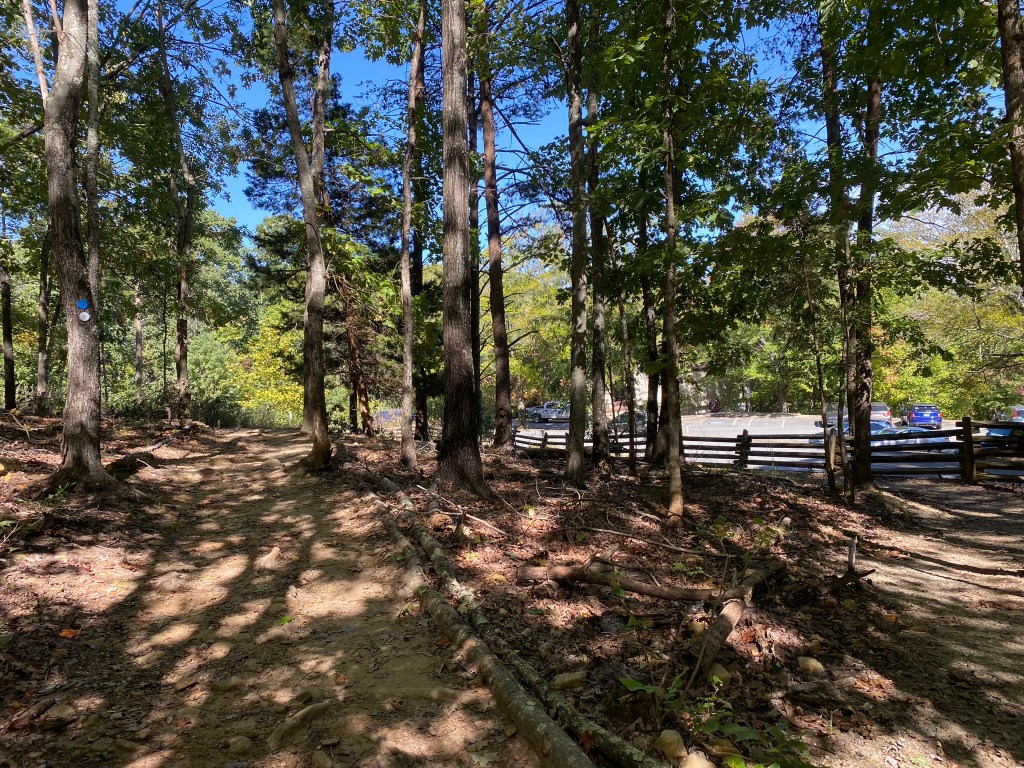
This is me, off-route once again, re-locating the trail in the woods using the FarOut App.
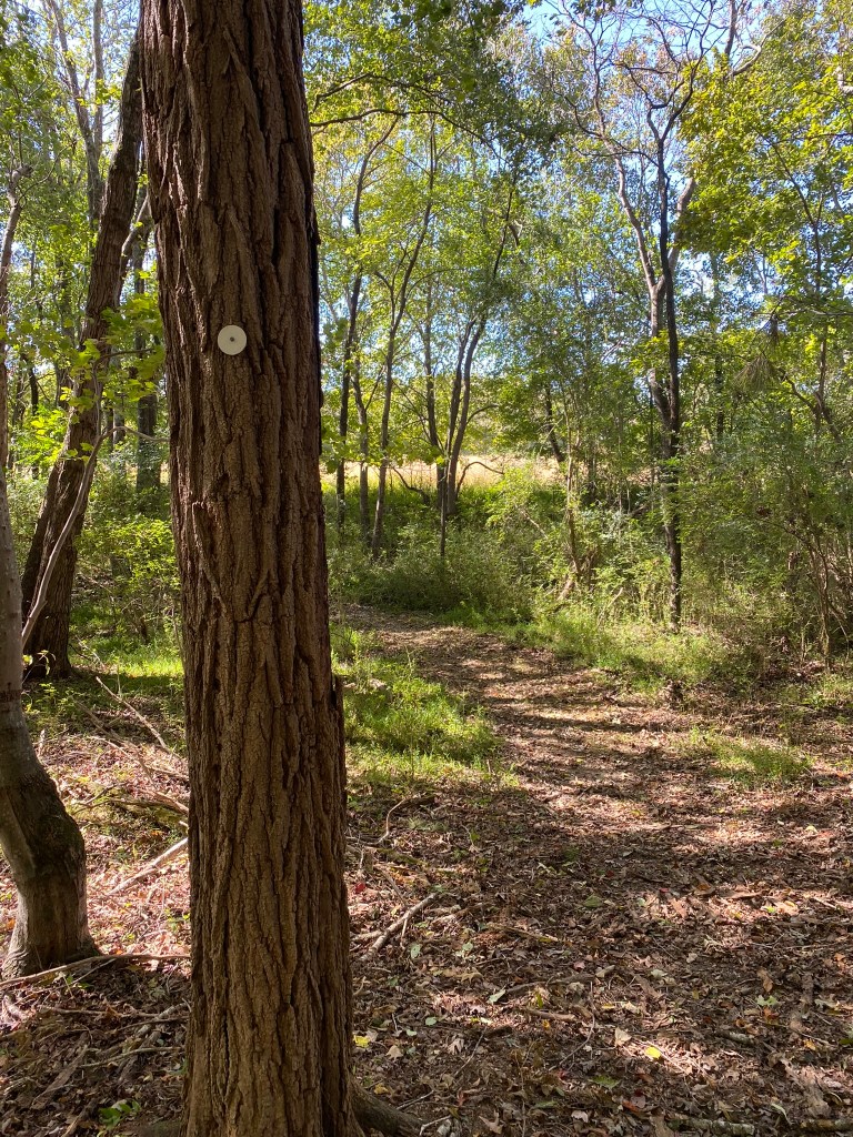
White circle = relief and happiness
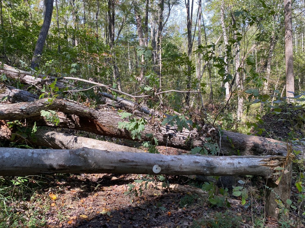
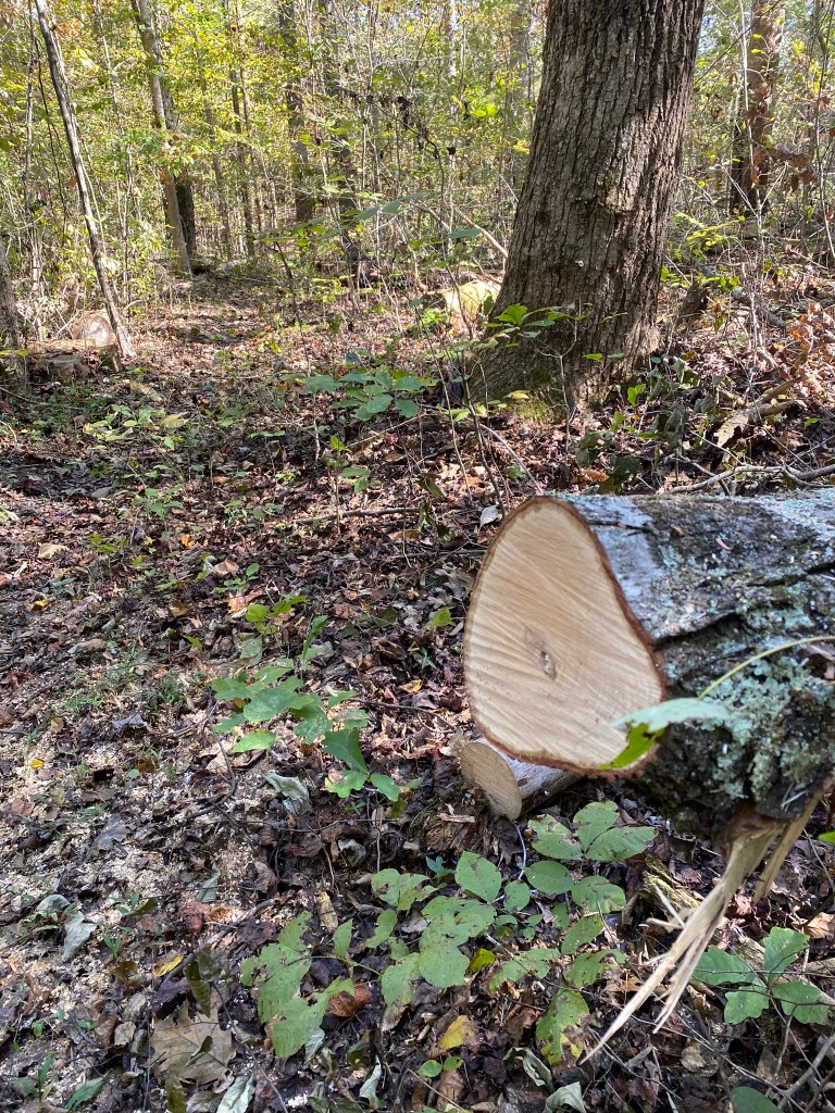
Sauratown Trail section 14 had a lot of downed trees to negotiate. Between trail hazards, creek crossings, and hilly terrain, this ended up being a long day of hiking, even though the total mileage was less than 15 miles.
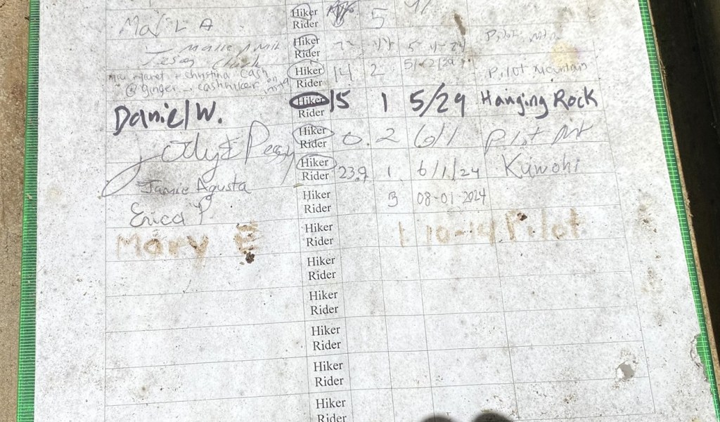
No pencil in the MST logbook, so I used my stick-and-mud technique. I need to add a little golf pencil to my fix-it gear.
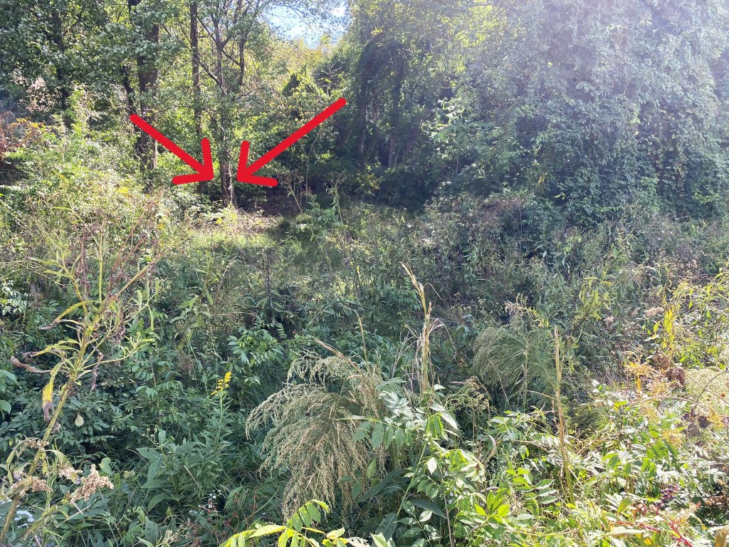
Sauratown Trail section 15 is waaaaaay over there, through this heavy brush. Since there was only .2 miles of trail left before heading out to the roadway, I decided to just walk the road from here. I had enough scratches on my legs by this point, from bushwhacking around fallen trees.
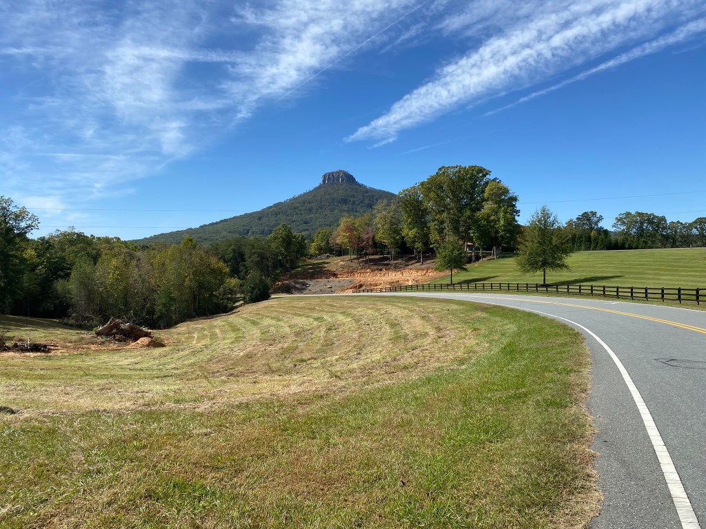
Now, isn’t this a sight to lift your spirits as you walk the last two miles?!?
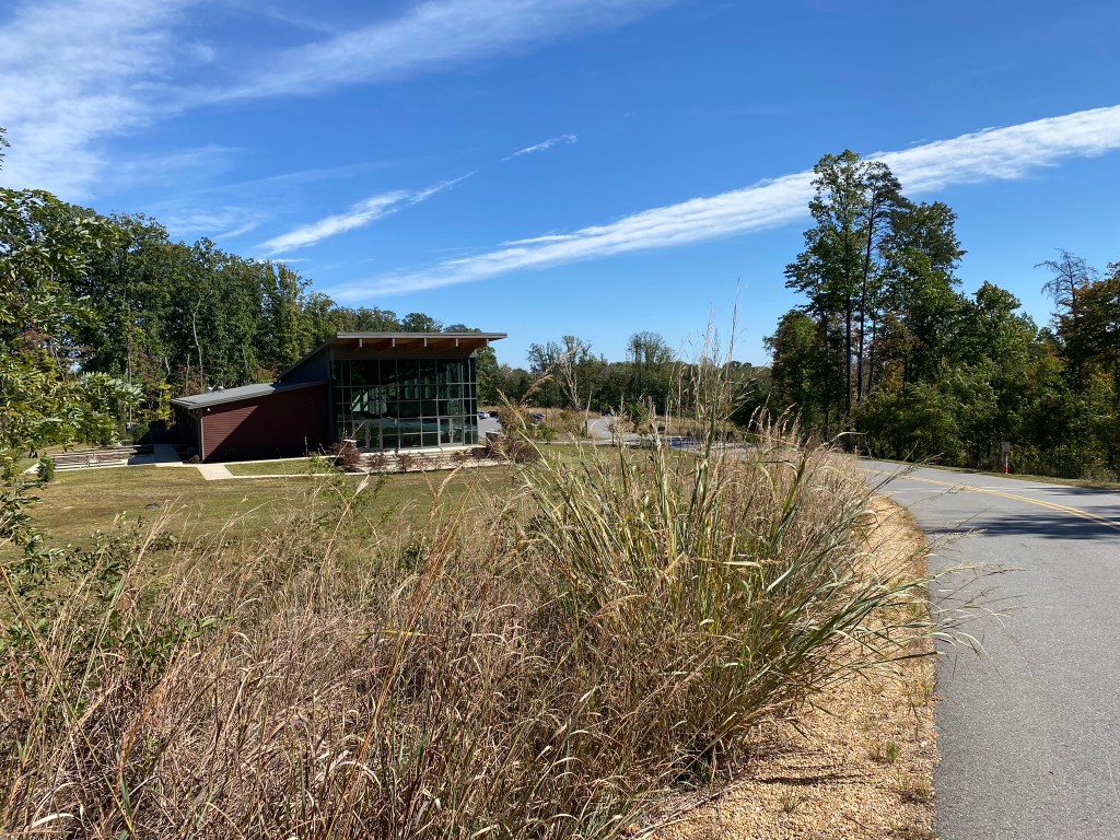
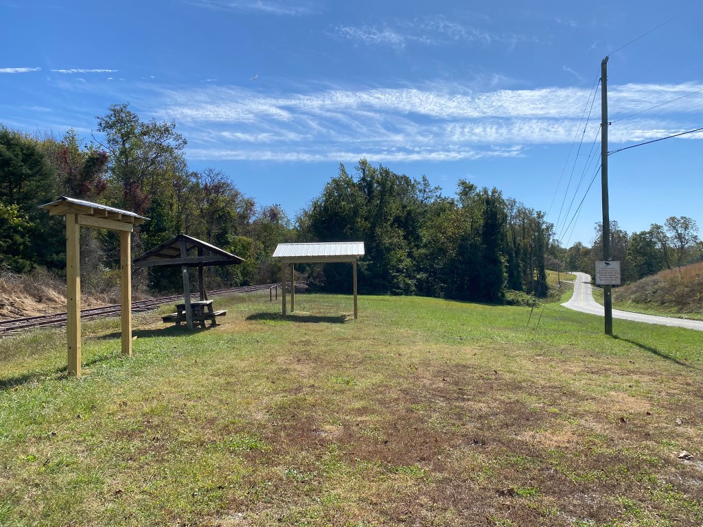
One parking option is at the new visitor’s center, but I had parked up the road at the old one, so I had a short .3 mile on the Grindstone Trail.
To the left the Grindstone Trail continues around Pilot Mountain–the next hike, which will complete Segment 7.
To the right is my car with a cold beverage waiting in the cooler. Hurray!

very nice!! Always enjoy your blogs
LikeLike
Thanks for taking us northwest (I suppose more hilly)
Lorraine Boyd Cypress, TX
>
LikeLike