Danbury Government Center to Rock House Road Trailhead, westbound

September 23. Boy, we’ve had a lot of rainy weather for September! This hike finished up Segment 8 and pushed into Segment 7, for a total of 13.7 miles. I knew that would be enough mileage, because there was going to be a lot of elevation gain and some rough trail.
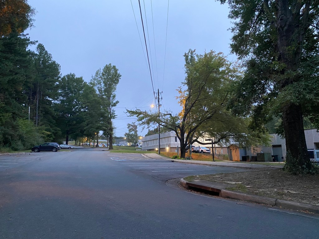
7 a.m. start at the Danbury Government Center, where there were plenty of parking spots available.

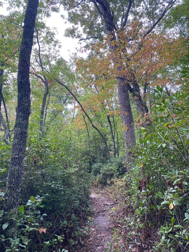
With a big climb ahead up to Hanging Rock State Park, I wanted to start this portion of the MST nice and fresh, first thing in the morning.
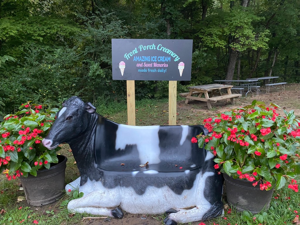
The Front Porch Creamery wasn’t open yet, but it looks like a really fun place to get some ice cream.

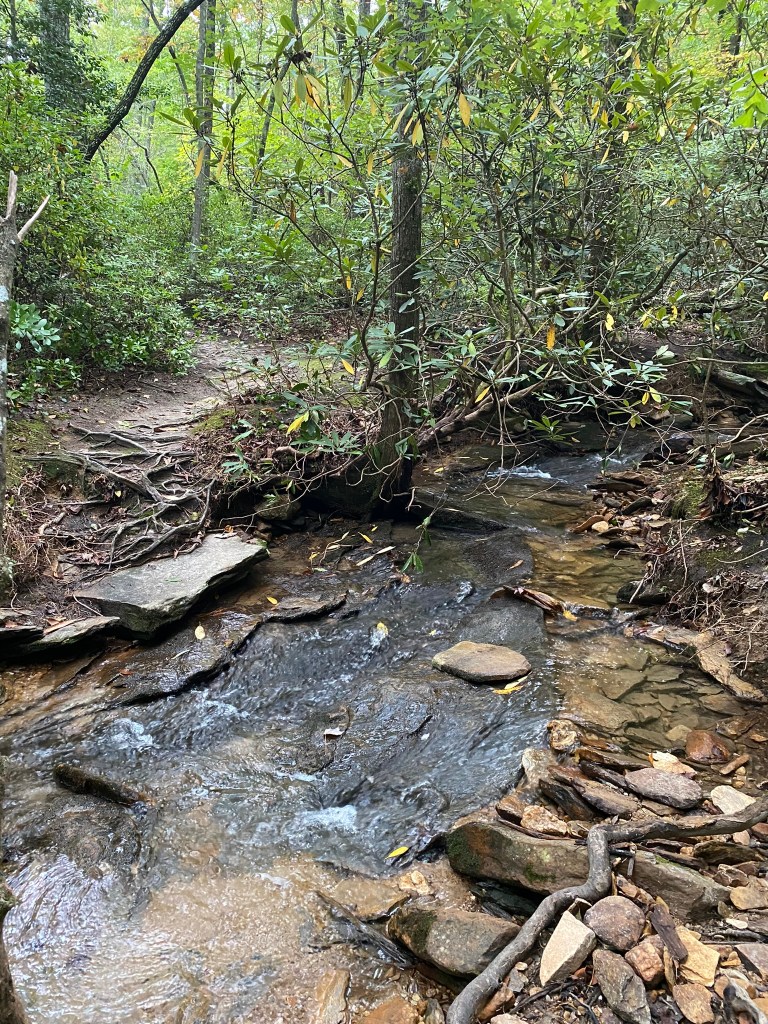
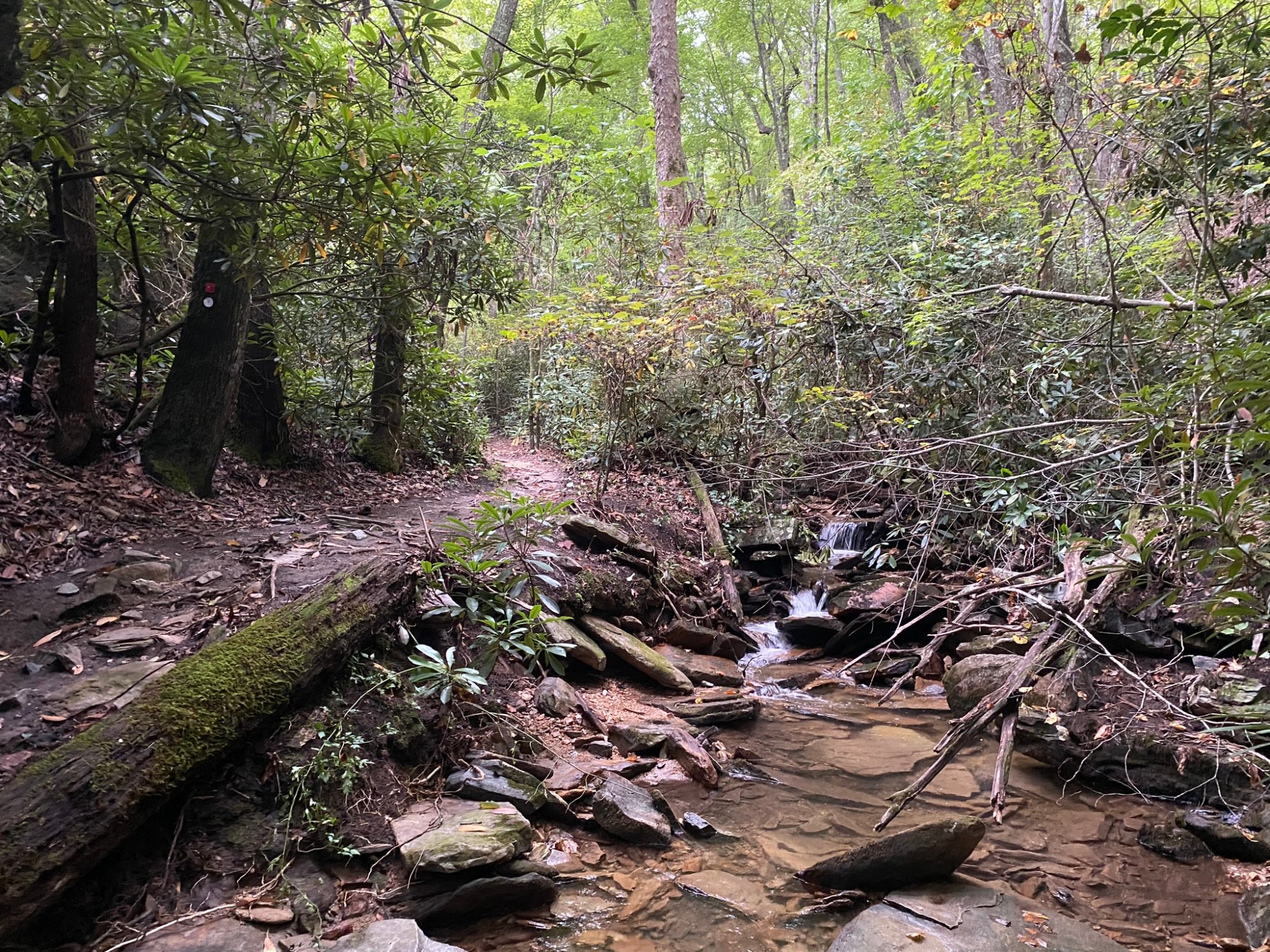
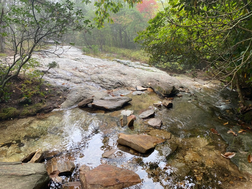
Lots of fun creek crossings, with well-placed rocks.
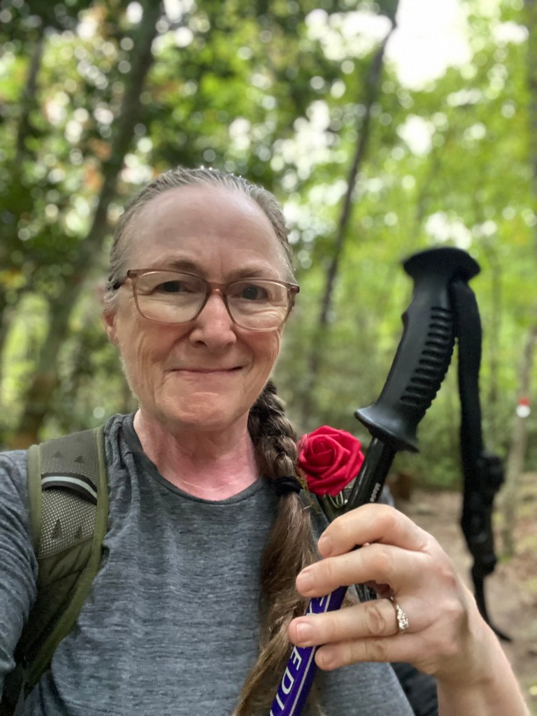
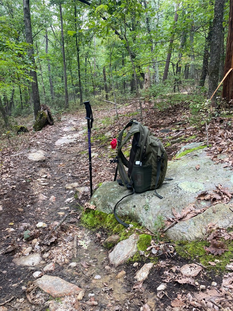
A pole is a definite must–and it’s been MONTHS since I needed one!
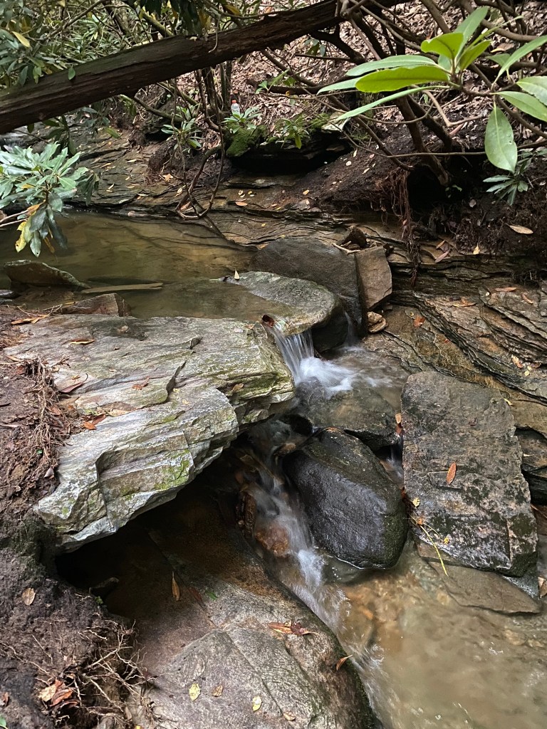
Indian Creek was so pretty!
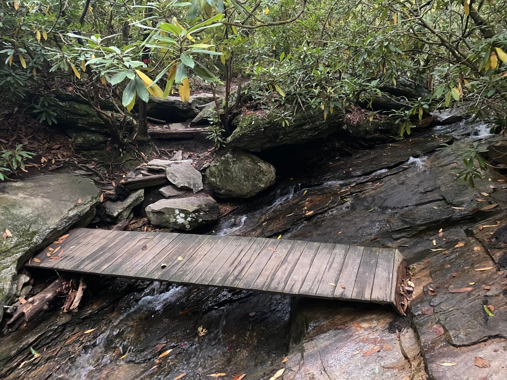
This was the only tricky creek crossing, because this bridge has a definite slant!

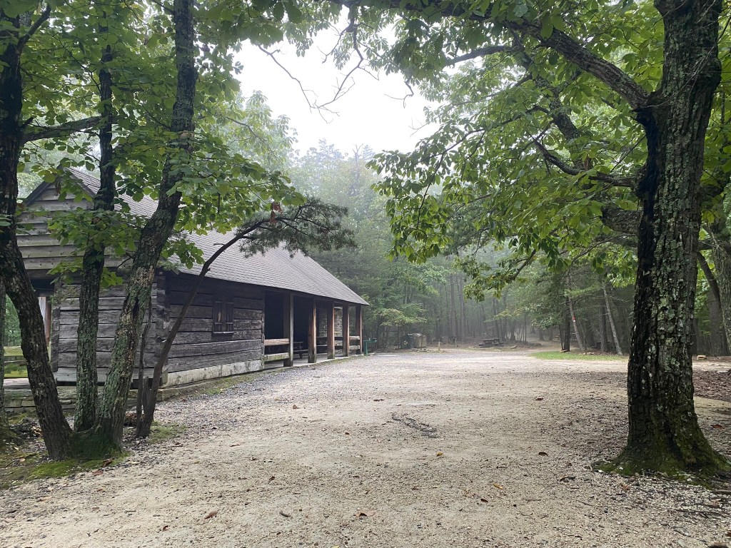
There was a working drinking fountain at the first shelter you come to at the top of the steep section of trail. I carry all the water I need for the day, but this was still sweet and refreshing!
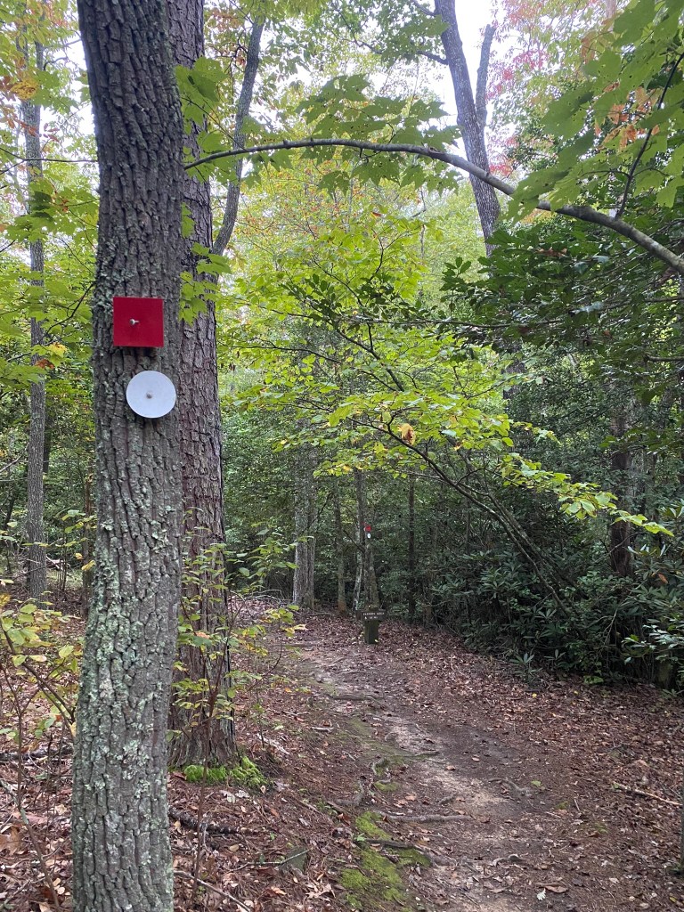
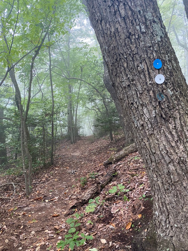
And here is the transition point between Segments 7 & 8.
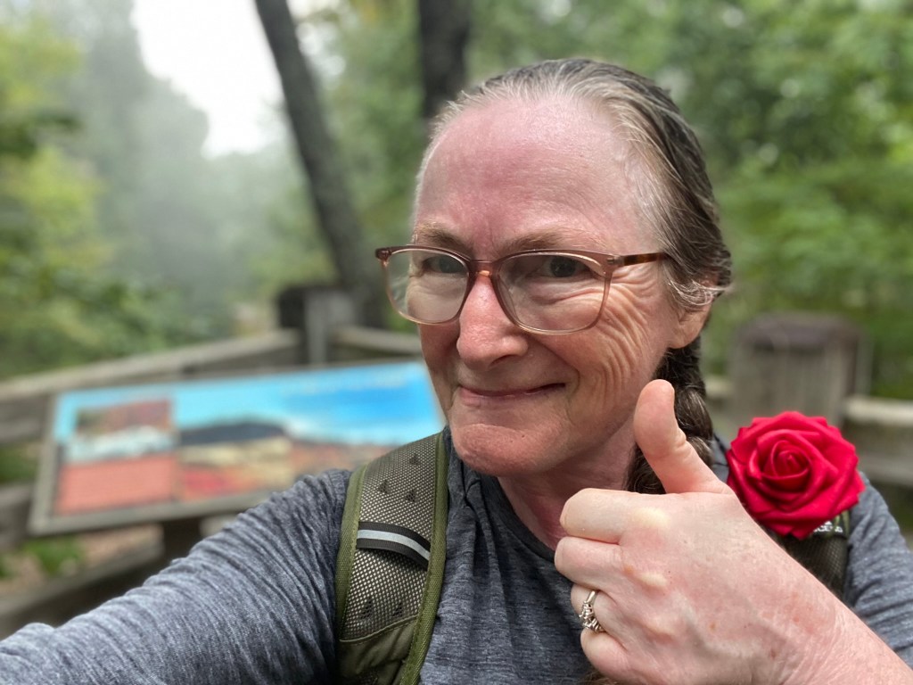
With 360+ miles completed, I am now 1/3 of the way through the MST.
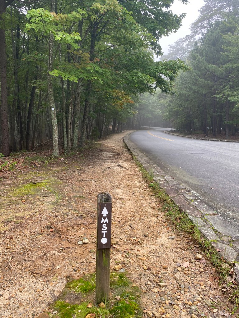
I didn’t stop at the visitor center, but continued on up the road, beginning Segment 7.

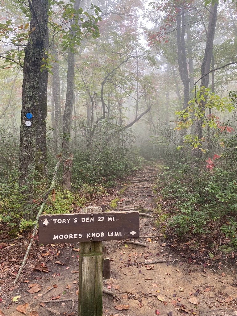
I’ve hiked this loop trail before, and I know the upcoming 1.2 miles to the Observation Tower are strenuous!
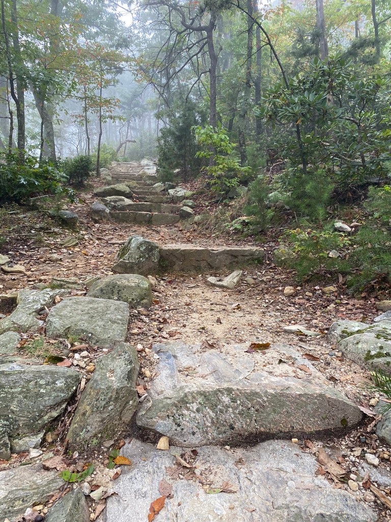
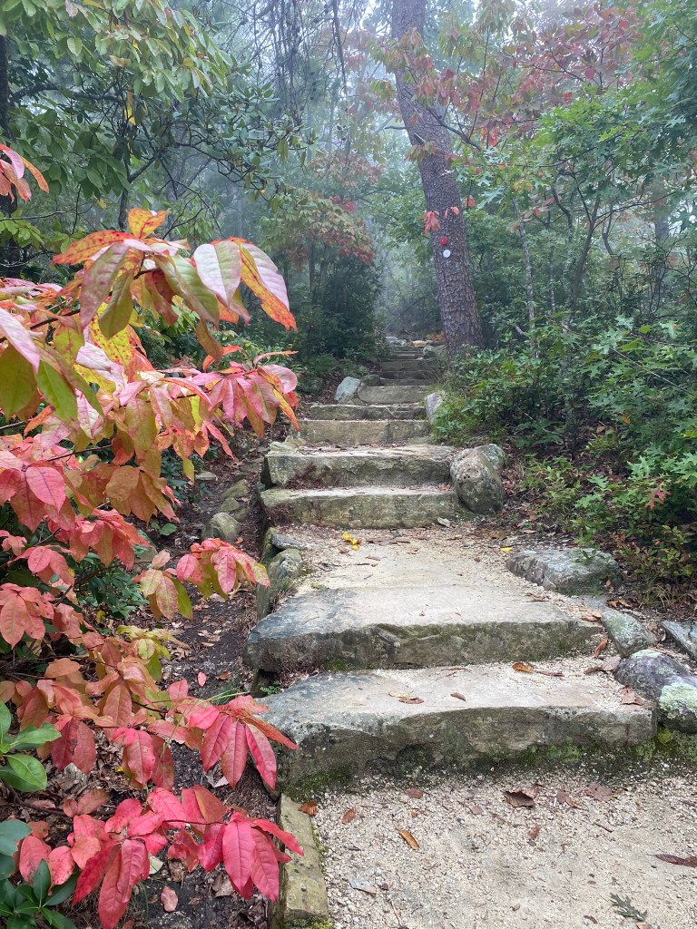
Yep, I remember this trail! Those rock steps are thigh-killers, and you avoid them as much as possible.
This was definitely the longest mile yet of my entire MST experience!
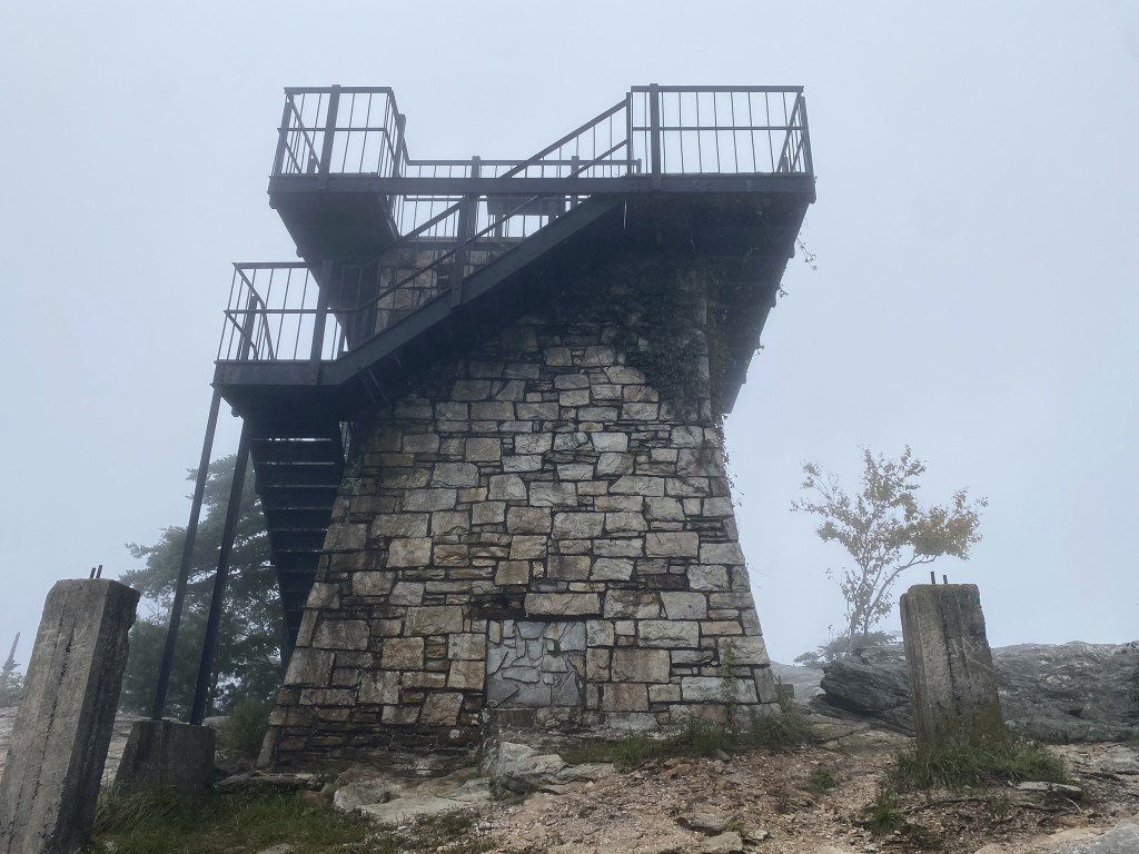
It’s just a little extra elevation to get to the Observation Tower on Moore’s Knob. I knew there would be no views today, but it’s still a nice place to take a well-earned rest.

Boots off, hydration, snacks, and then when I was ready to hike again—a pair of dry socks!
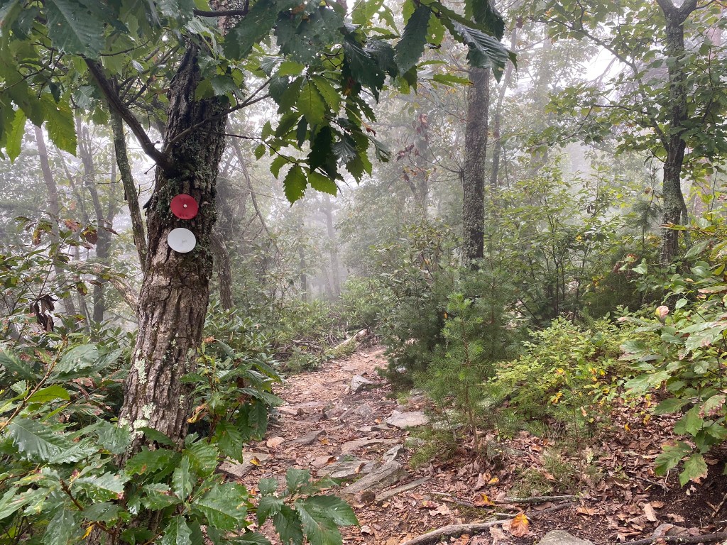
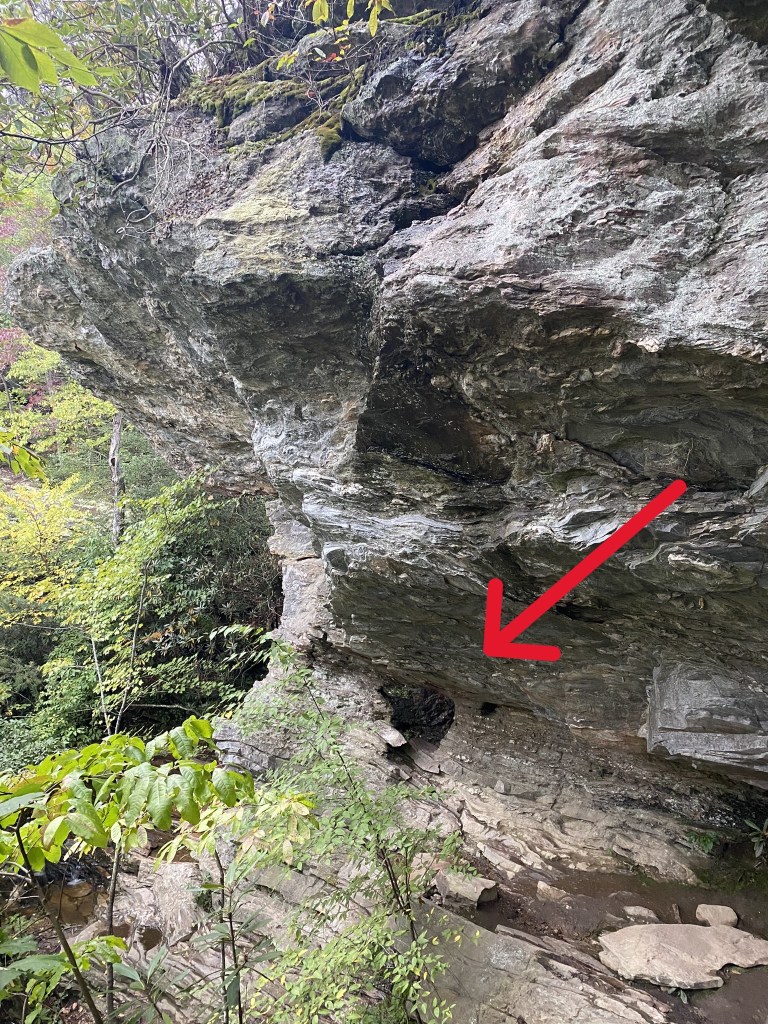
The trail down off the ridge was not always obvious–but it was always well-marked.
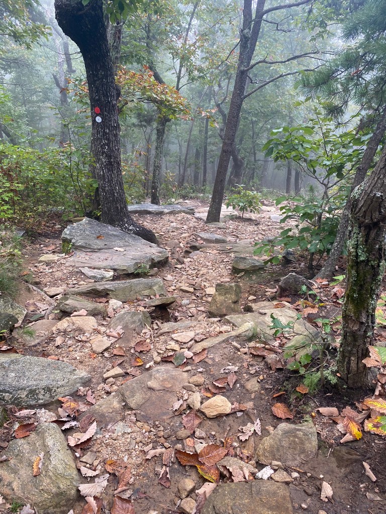
It was, on the other hand, mostly rocks and roots. I went very carefully.
Phew! Finally down onto flatter, softer trail. This was the halfway point, mile-wise, but the second half was much faster hiking.

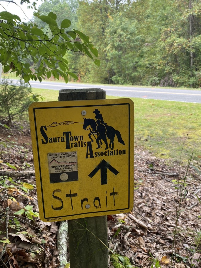
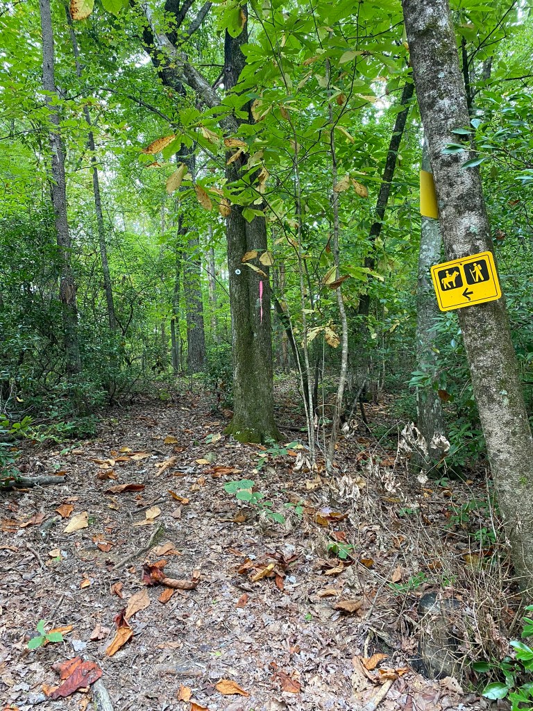
The Sauratown Trails are also used for horseback riding, but disappointingly, I only saw. . . evidence.

Strange, relatively flat switchbacks—but I was a good MST-hiker, and never took the obvious short-cuts between them!
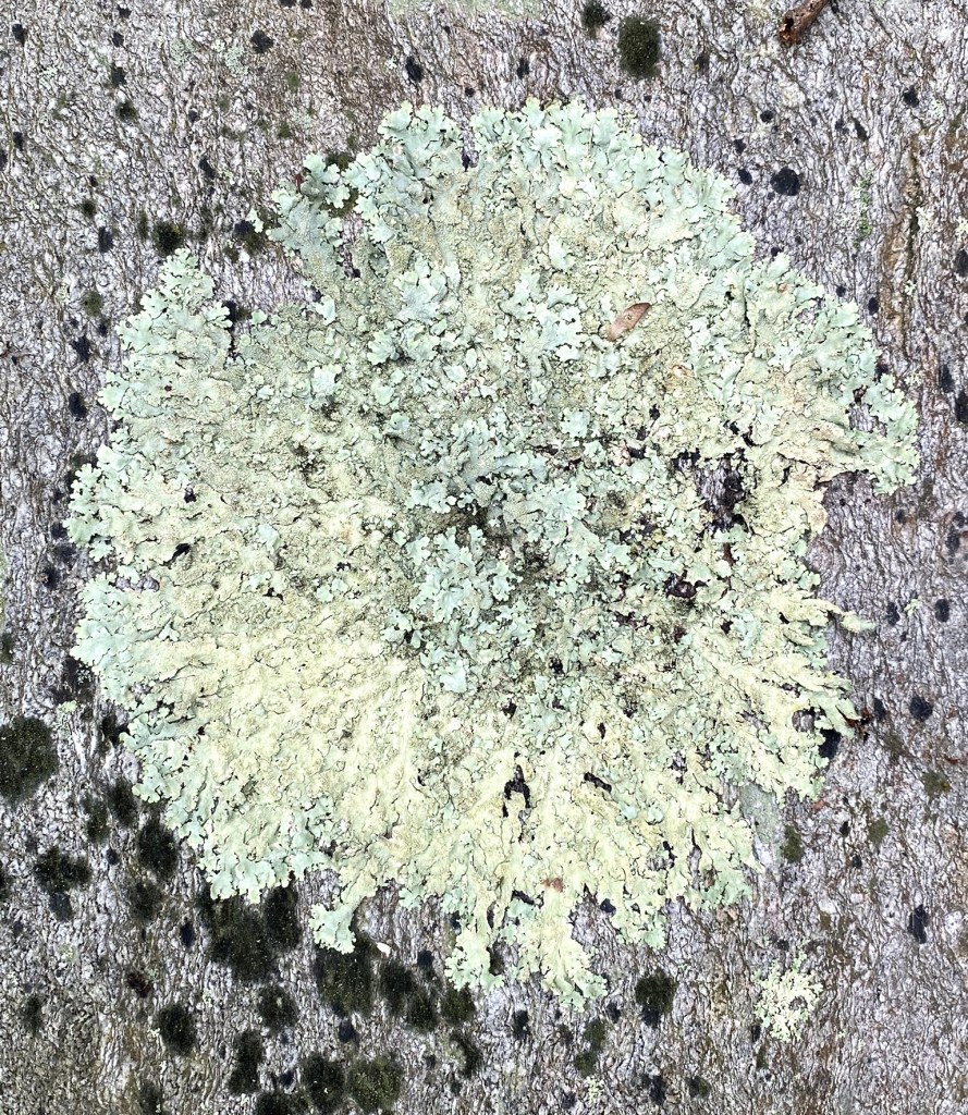
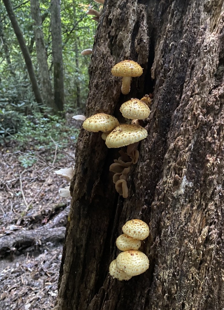
Lichens are a hybrid colony of algae and fungi species.
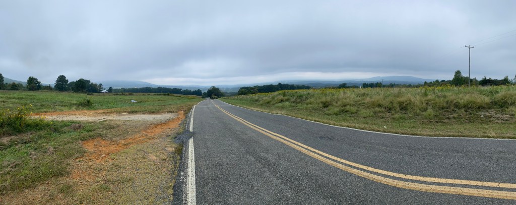
It was gently, steadily downhill, until the route popped out onto roads.
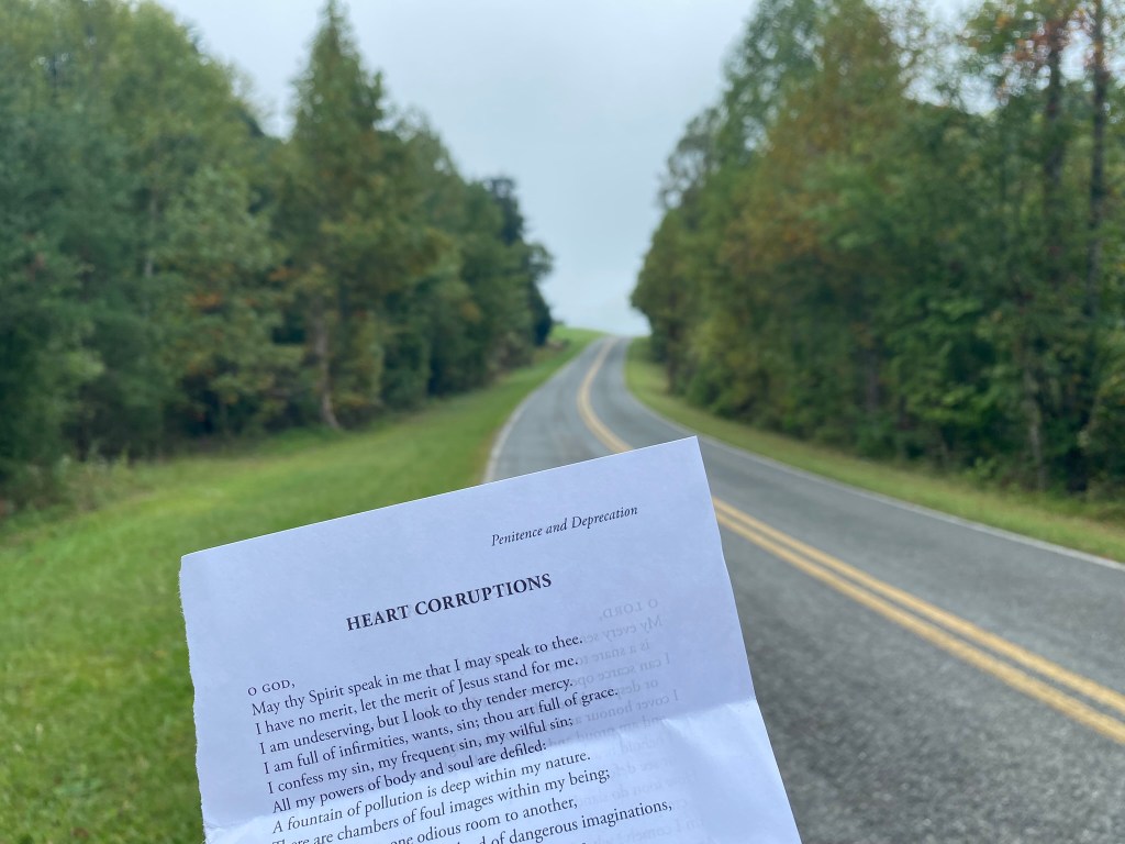
Out on the roads I don’t have to watch every single step to keep from twisting an ankle, so I could finally break out my daily devotional.
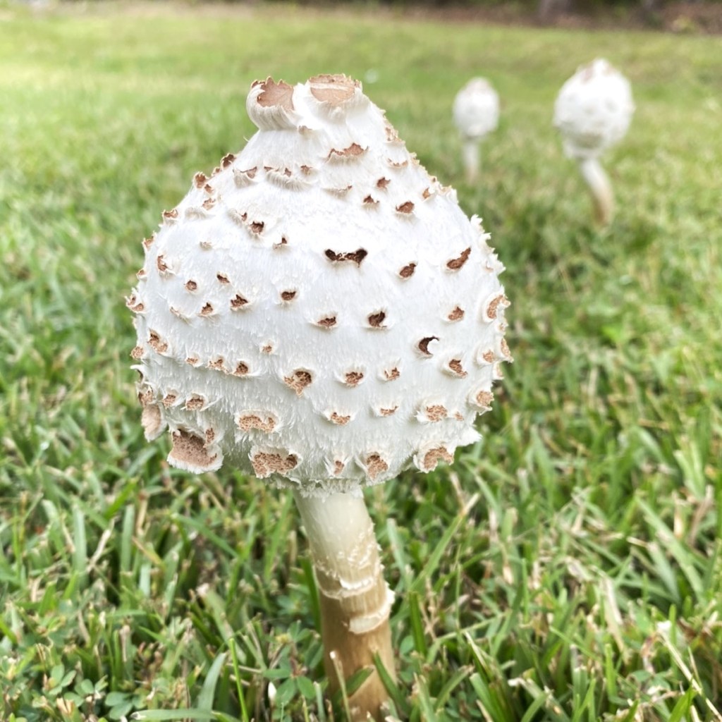
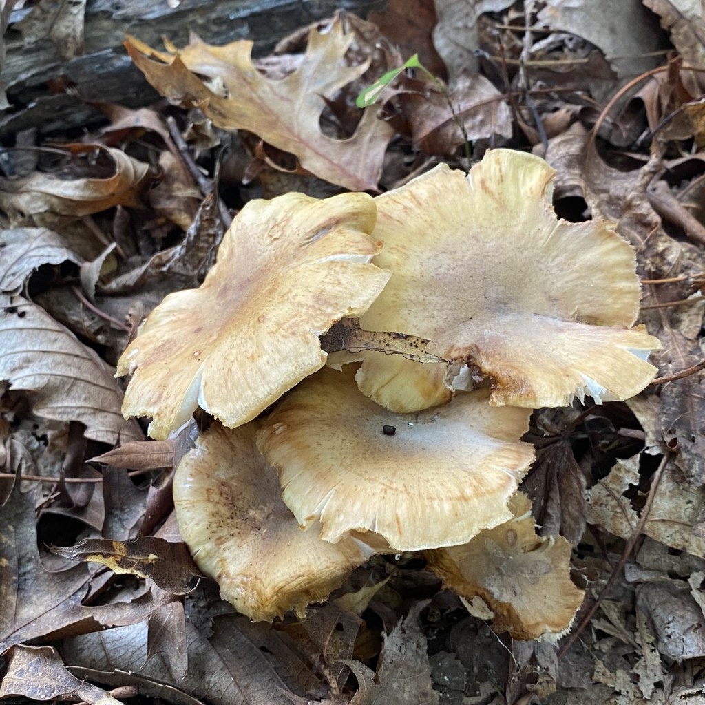
Highly poisonous–also known as “The Vomiter”

I got out my hat–for all of five minutes of sunshine.
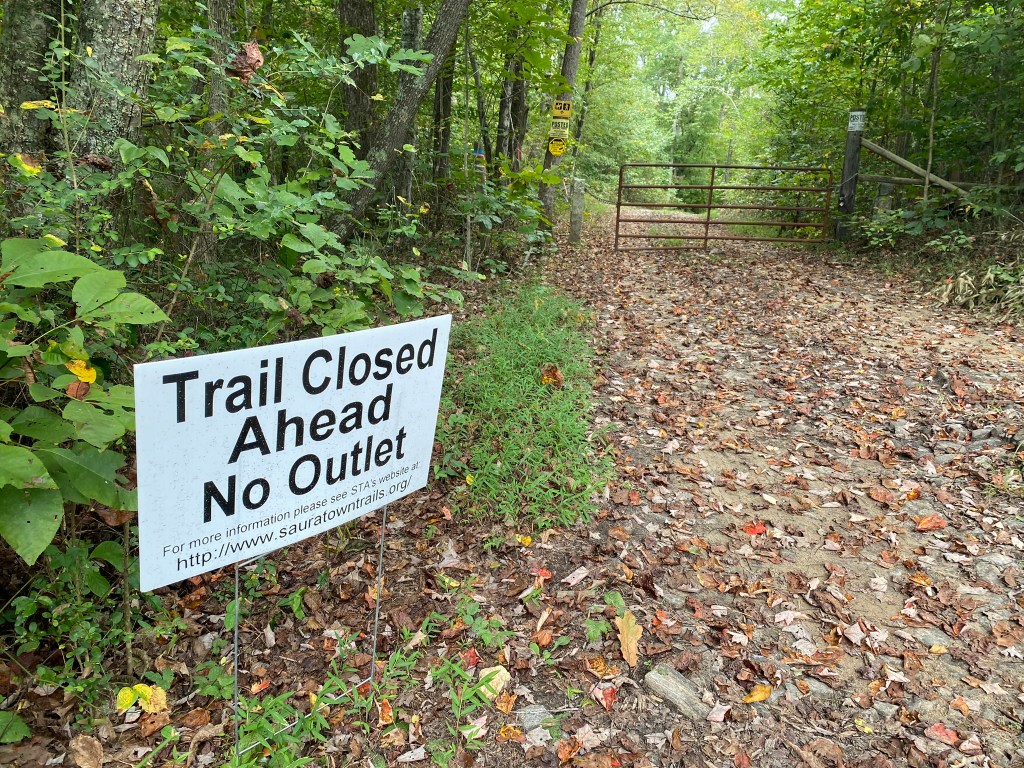
This trail closure is mentioned in the current Trail Updates provided by the MST. It wasn’t a big deal: a little less trail, a little more road-walking.
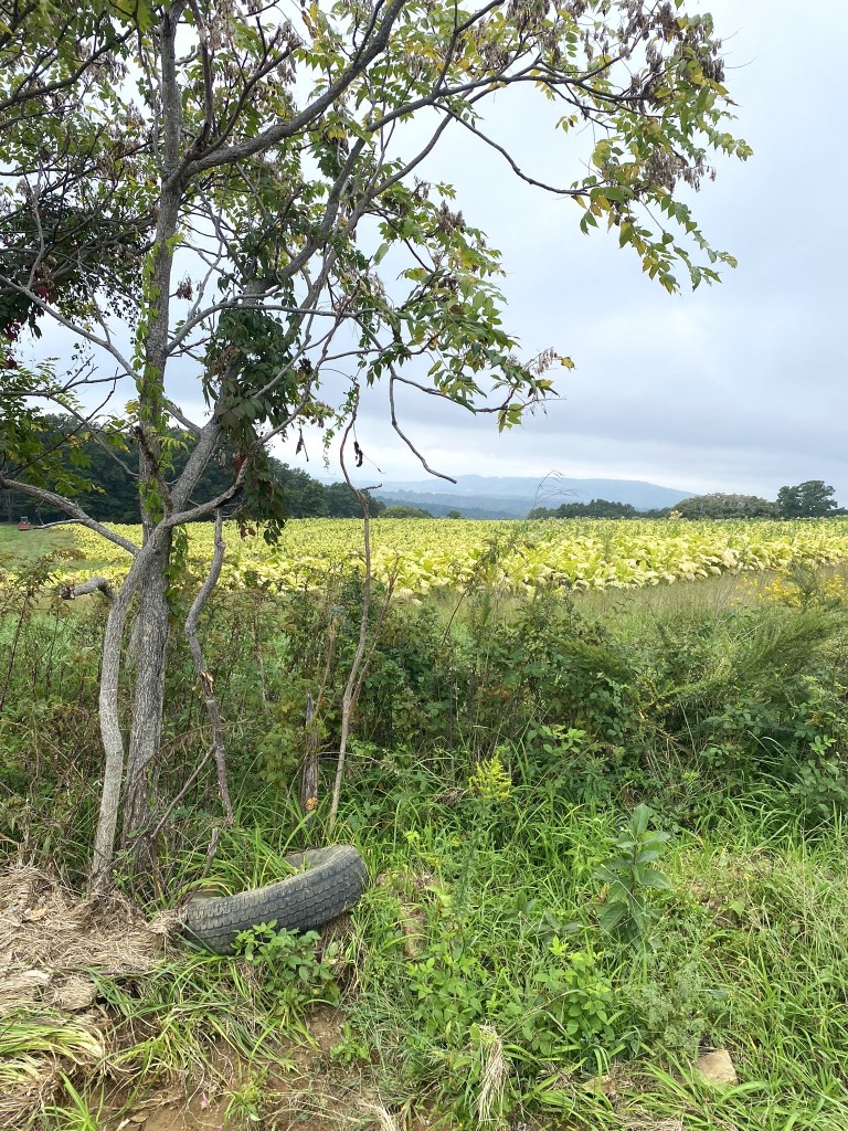
The Sauratown Trails are a patchwork of trails and fields between short sections of road. It made for an interesting finale to this great day of hiking.
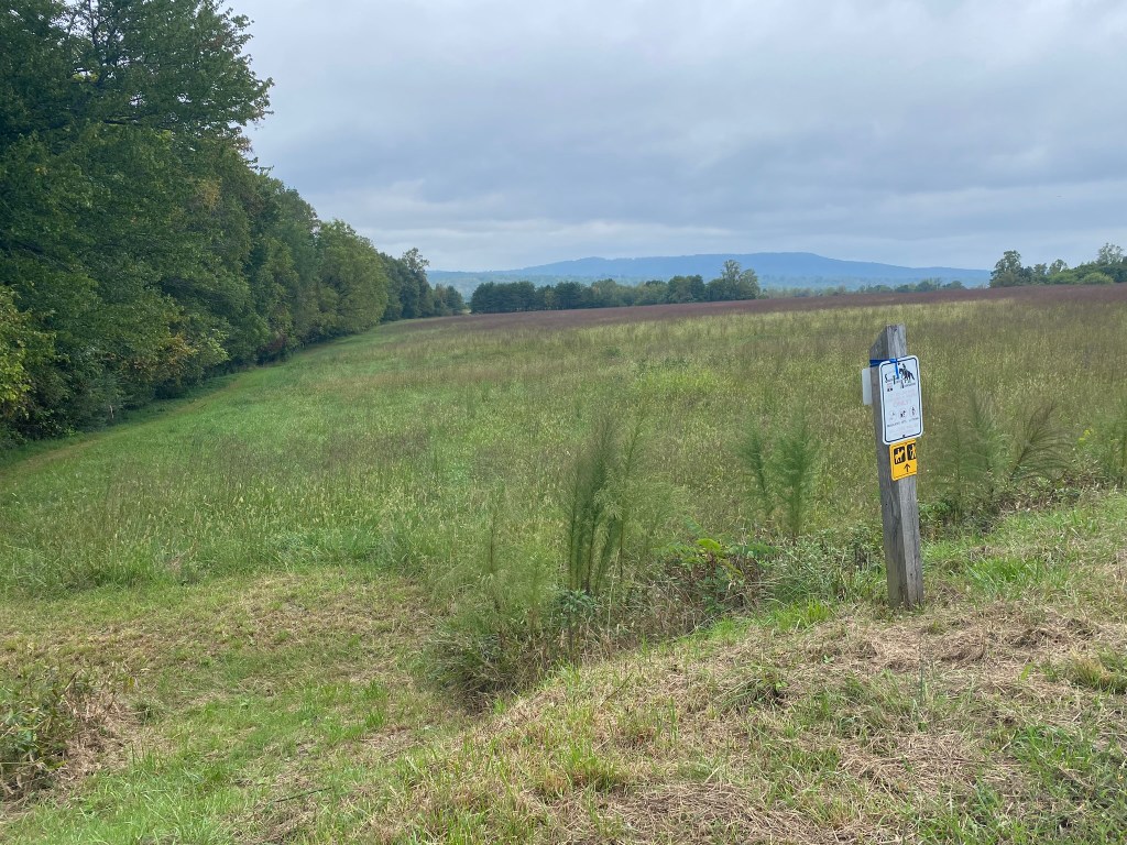
One last field to skirt, in order to finish on Rock House Road.
I was good and tired. 14 miles of trail with significant elevation gain is far more strenuous than 20 miles of road-walking!
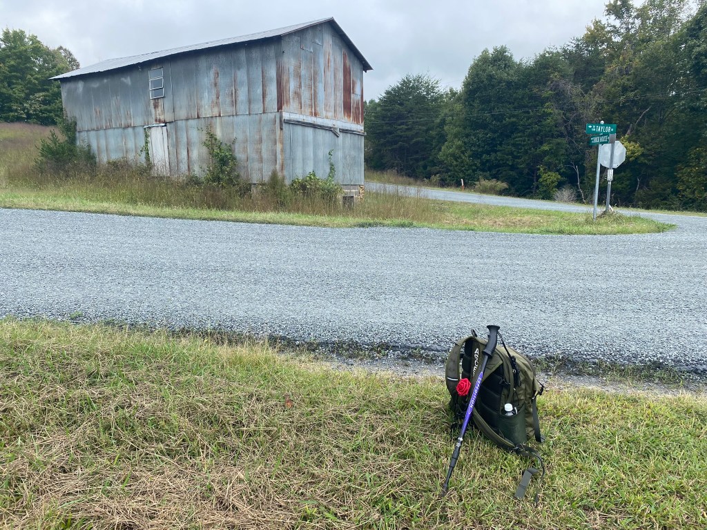
I waited for my shuttle at a nearby intersection to make it a little easier for my driver to find me.

And here he is–the incredibly helpful Jimmie!
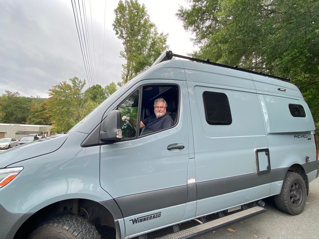
Thanks for all THREE rides, Jimmie.
You went above and beyond!

I assume that west of you is getting rain, from the Hurricane.
Thanks for the photos, especially when you are actually walking in the “woods”.
I have to be happy when I see some “wild” morning glories.
Sharing in God’s world. (Esperanza, Not wildflowers – just abundant here, in season)
Lorraine Boyd
>
LikeLike
Thank you! Glad to assist any hiker. I wanted to hike to the lookout tower but afraid it is more than I can do…so sad:(
LikeLike