
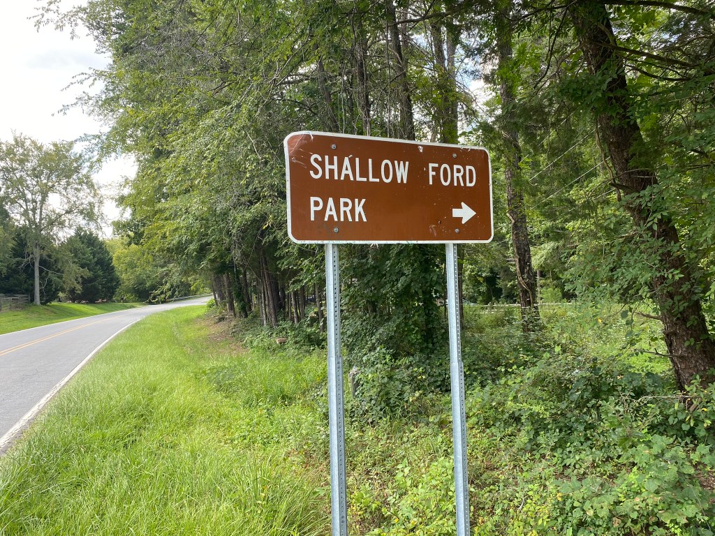
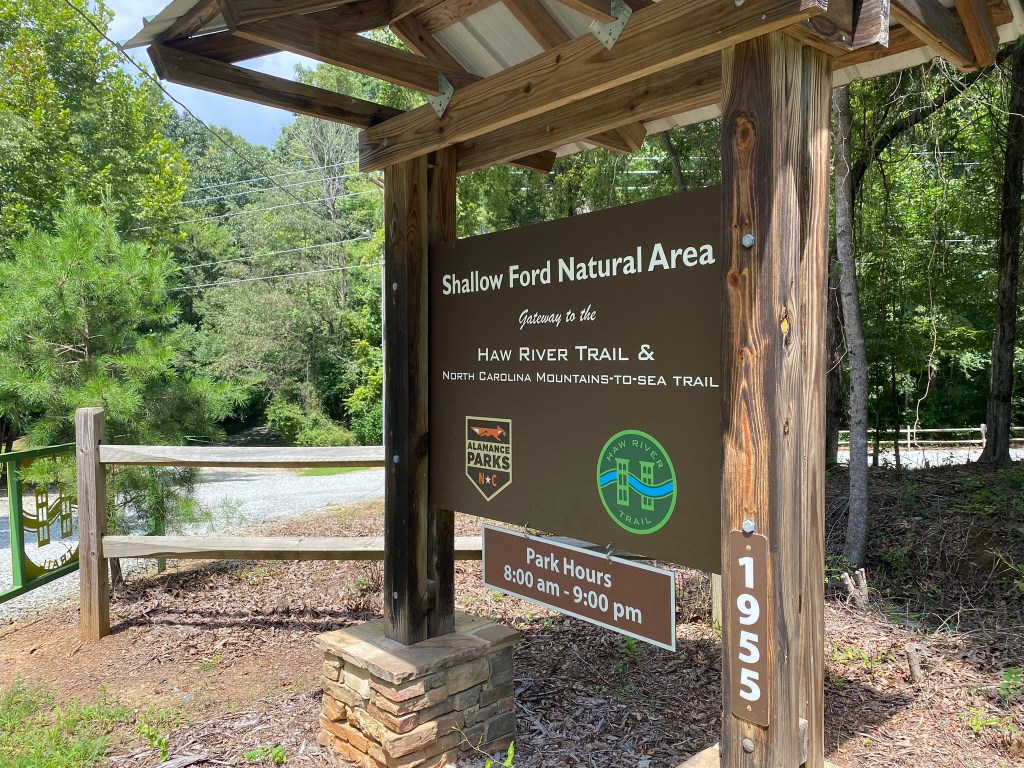
Mebane Community Park to Shallow Ford Natural Area

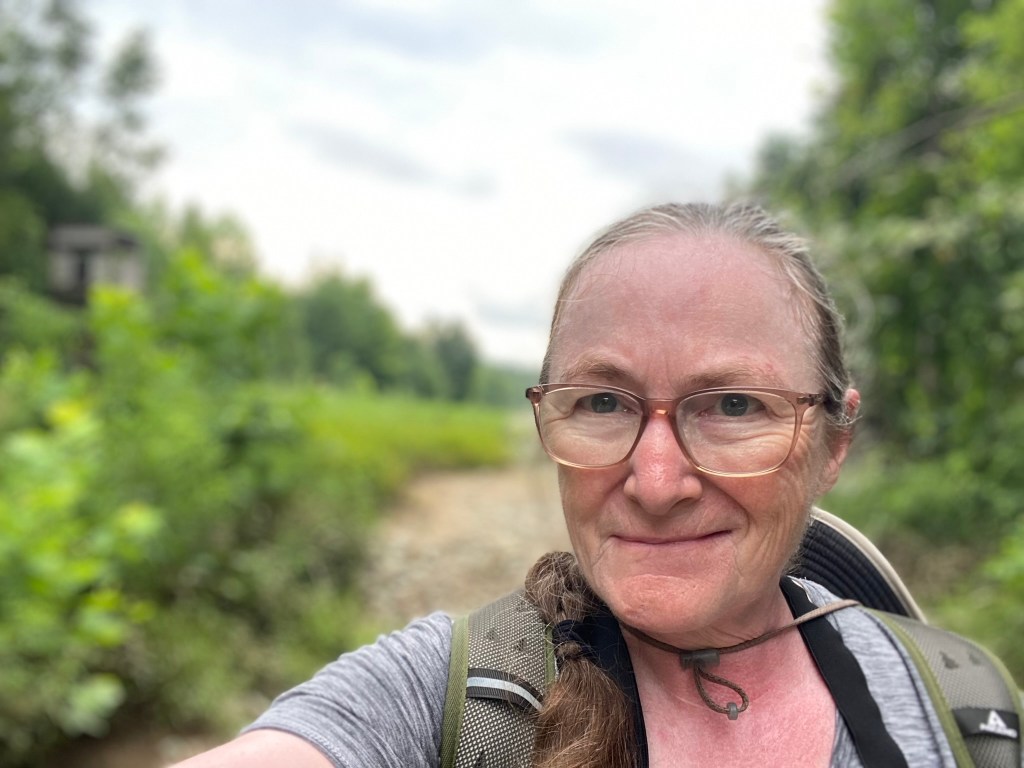
August 17. My first Saturday hike. And a long one at 18.2 miles–except I had route-finding difficulty and added two miles for a total of 20.2!
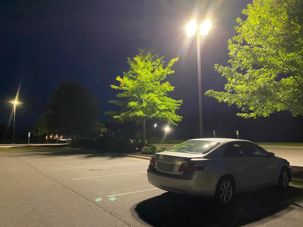
Zero Dark Thirty in Mebane
There was just enough light to walk, but I had to use my cell phone to read the directions!
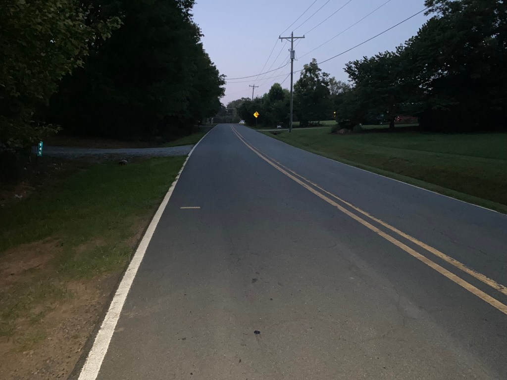
I wanted to get through as much Alamance County roadway as possible without traffic.
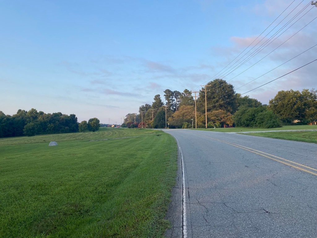
It always feels great to be well underway by 7 am. Because, you know, it’s AUGUST, and it’s gonna get hot.
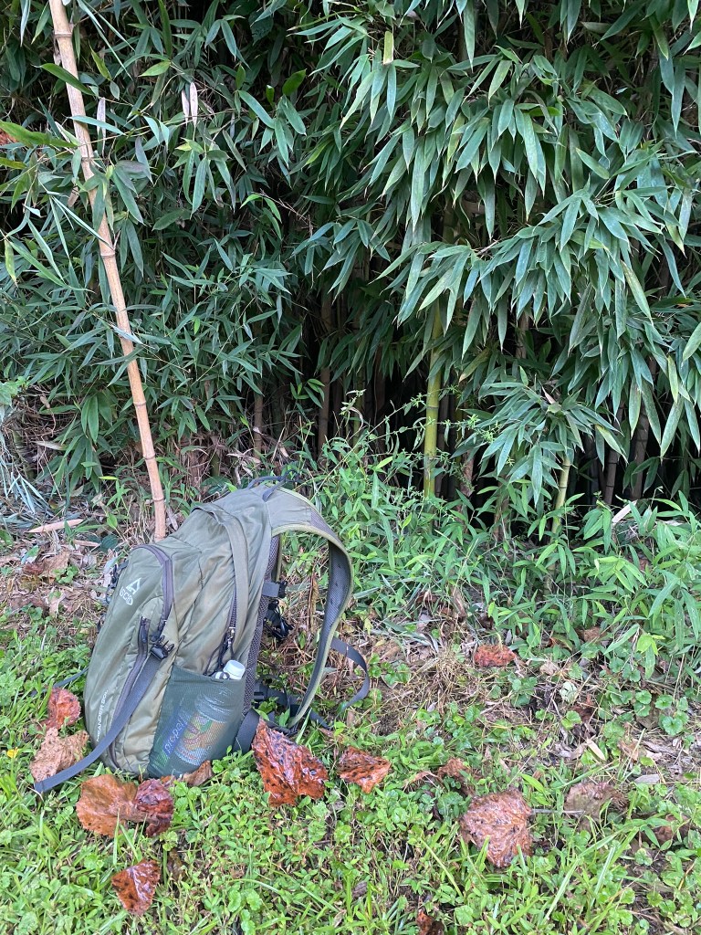
Hydration break in the bamboo. I carry four liters: half is Lipton’s iced tea, half is water. As I hike, my backpack gets lighter and lighter!
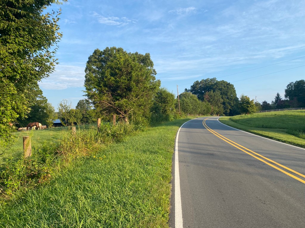
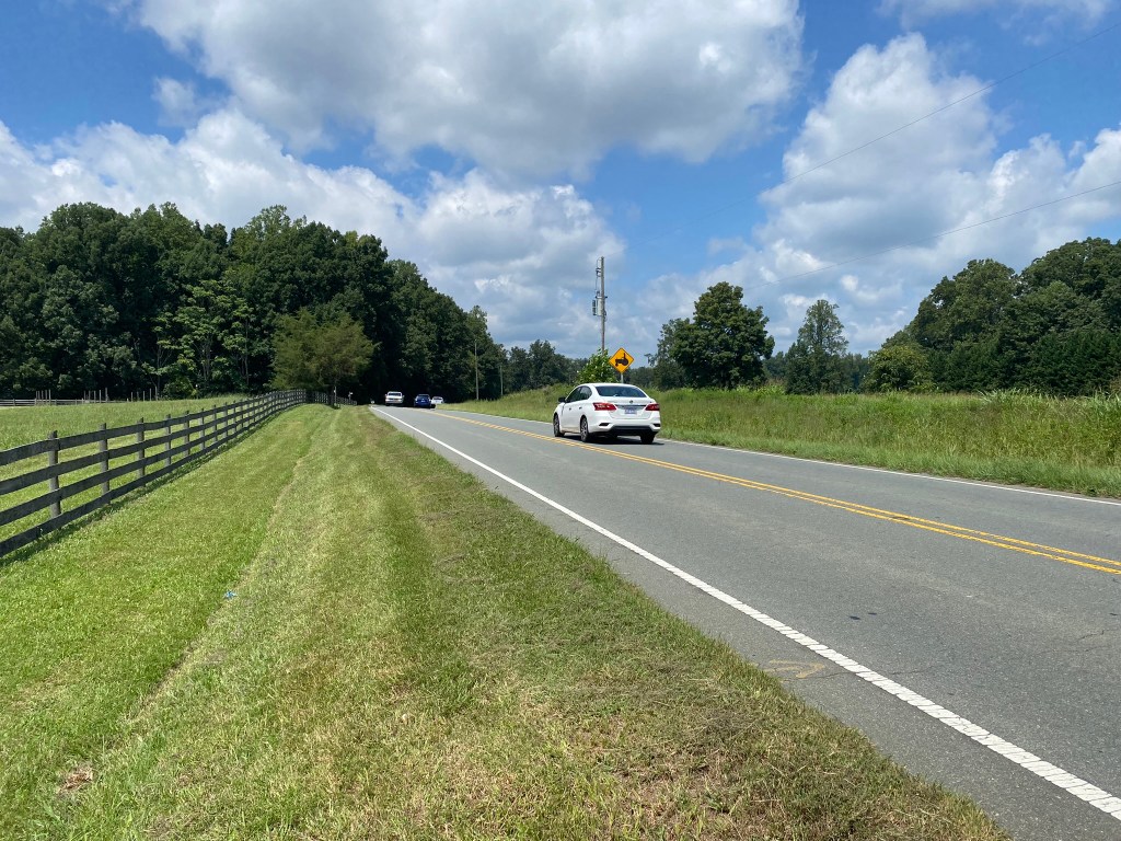
Three miles along Stone Street would be so peaceful….except…
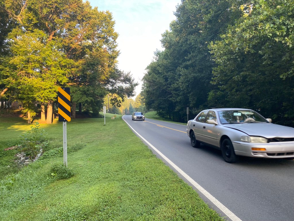
there was quite a lot of traffic…even relatively early on a Saturday morning.
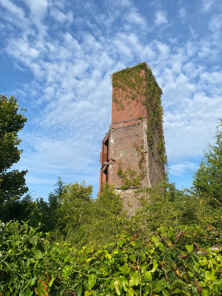
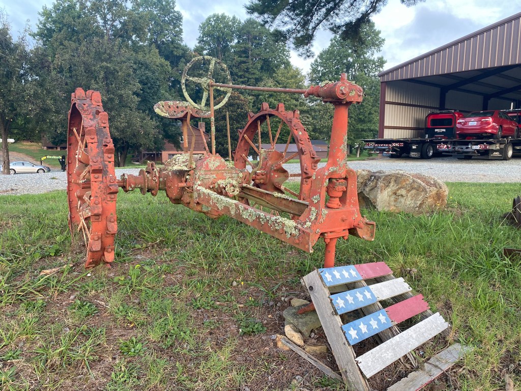
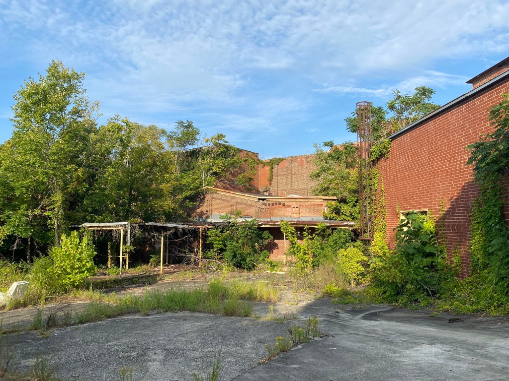
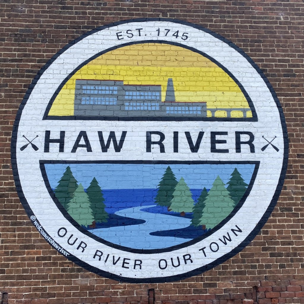
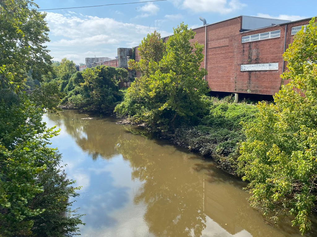
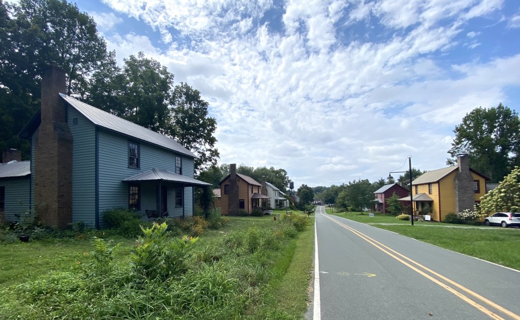
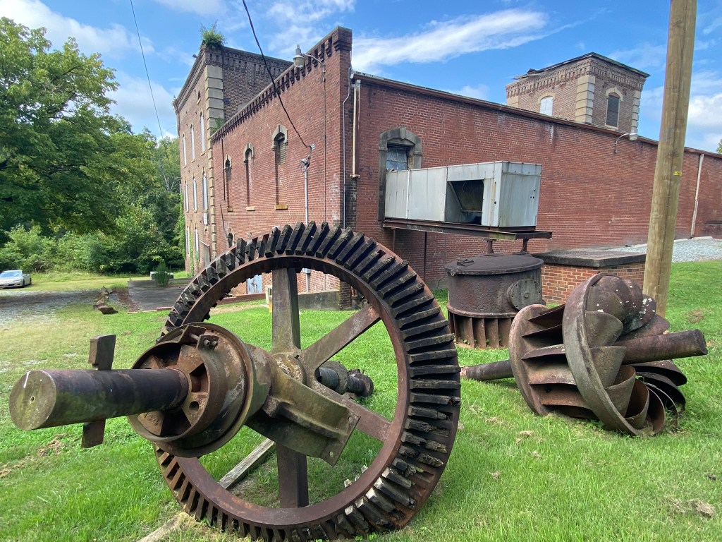
Abandoned textile mill in Haw River
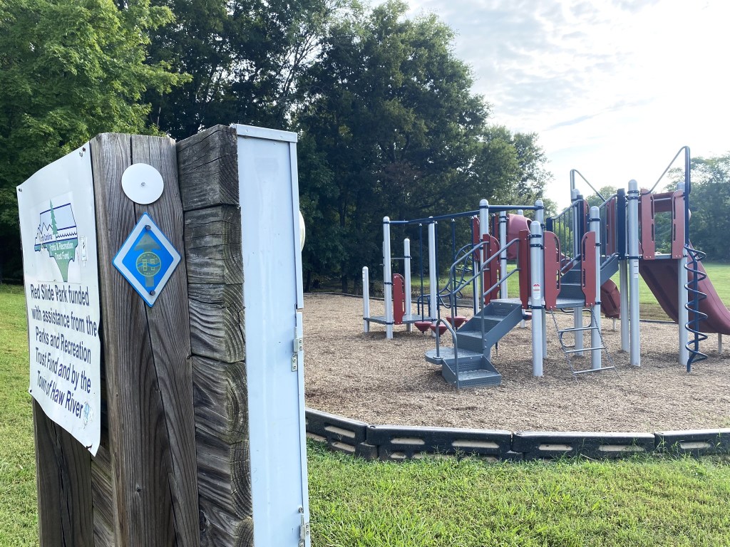
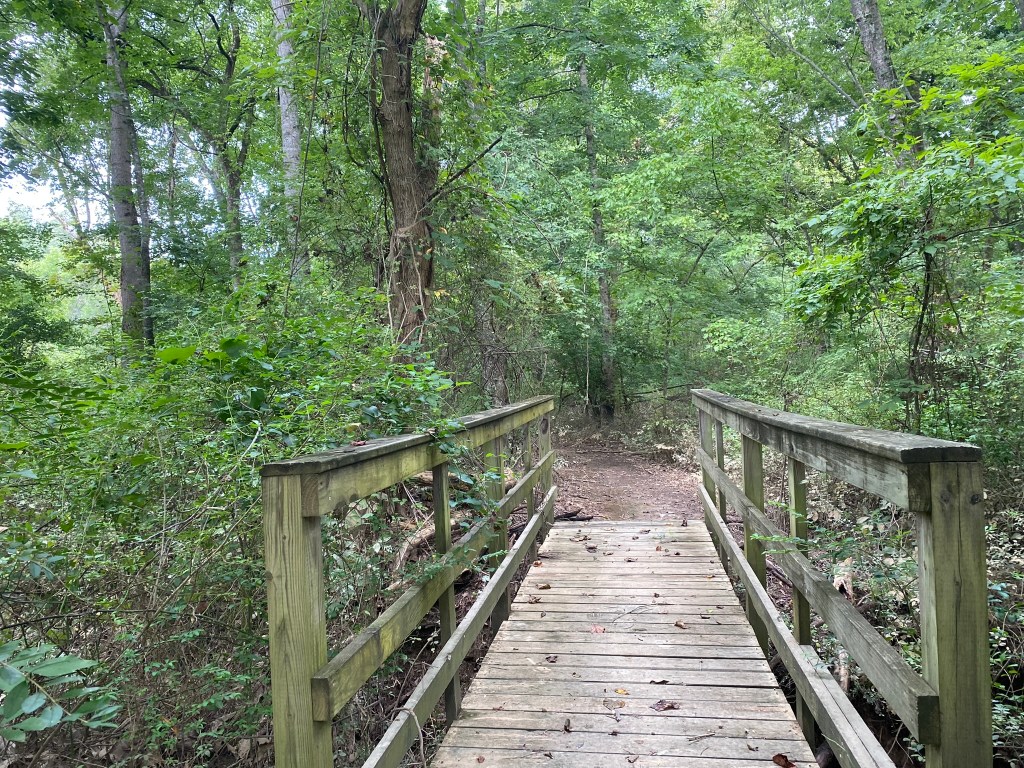
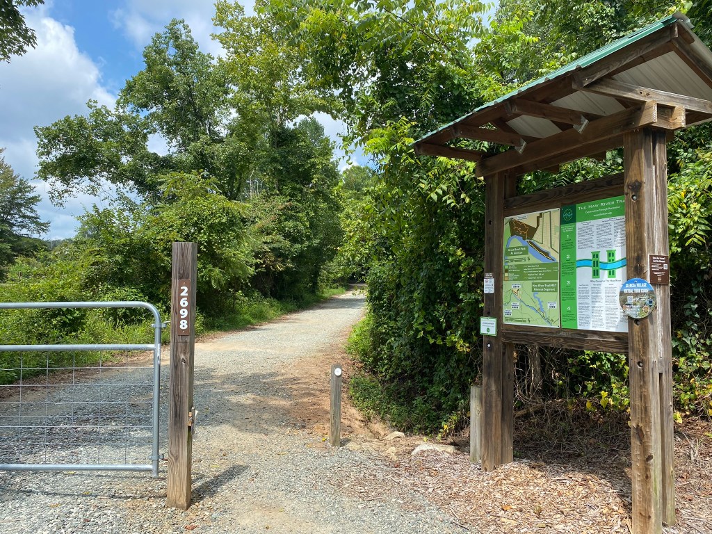
At Red Slide Park you get off the roads as you begin the Haw River Trail.

It’s affectionately known as the “Hurtle.” [Haw River TraiL= HRTL]
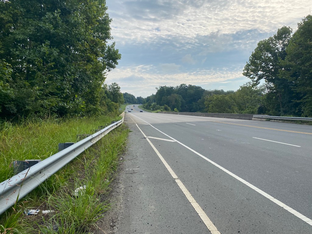
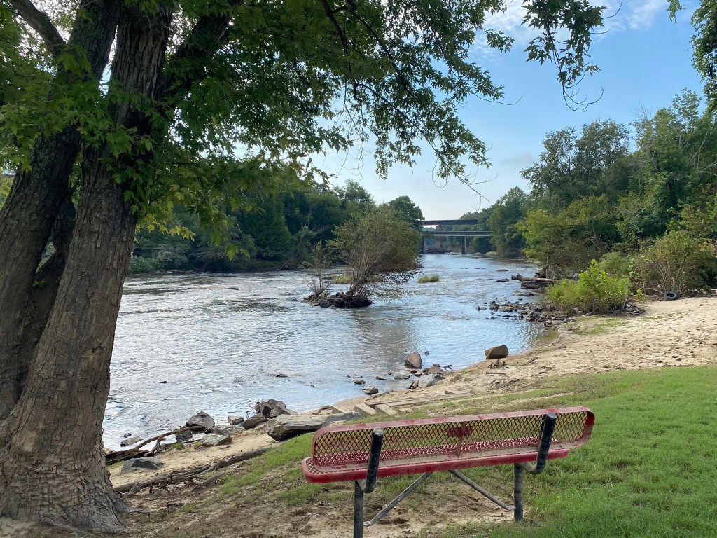
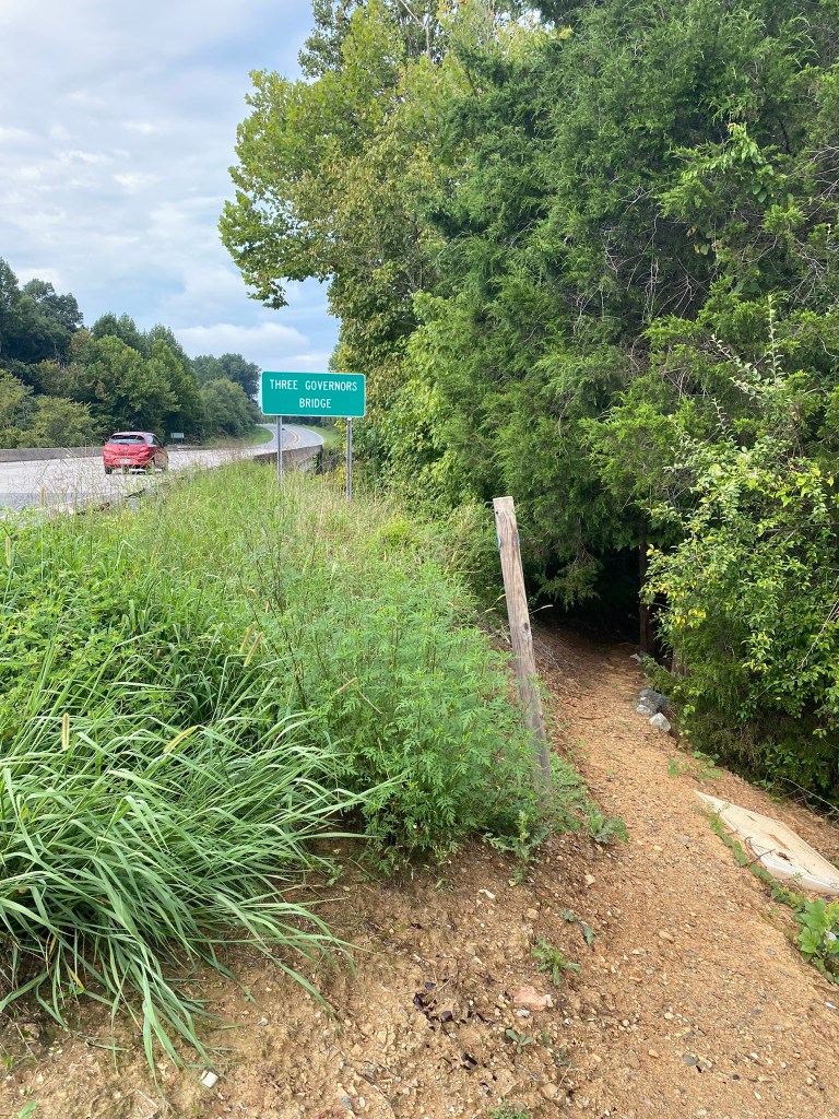
Brief exit from The Hurtle to cross the Haw River on Three Governor’s Bridge. There was a nice wide shoulder.

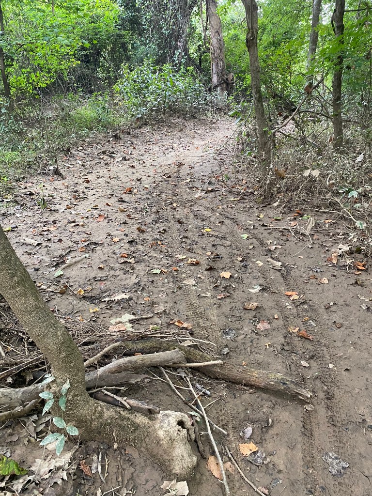
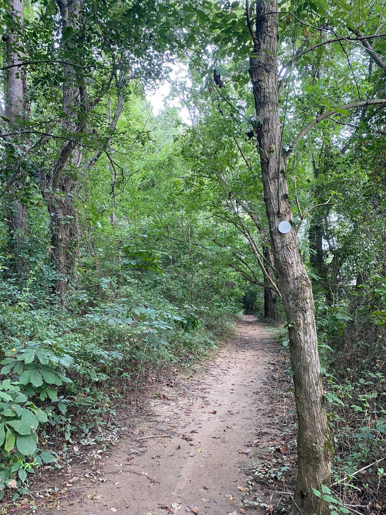
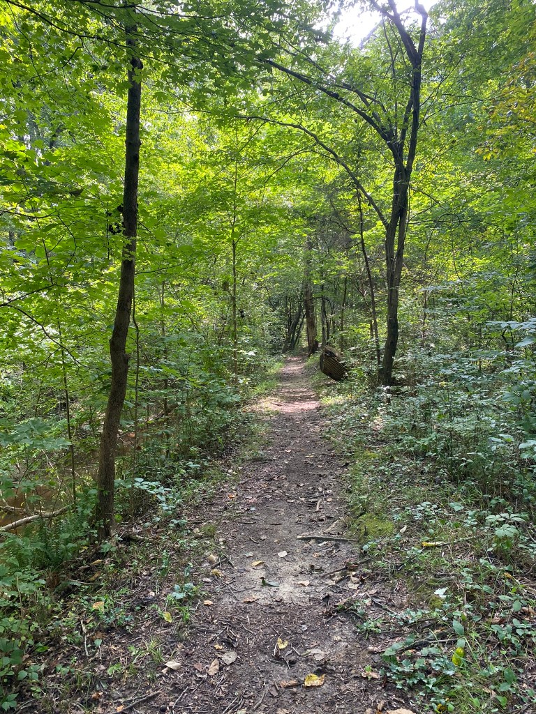
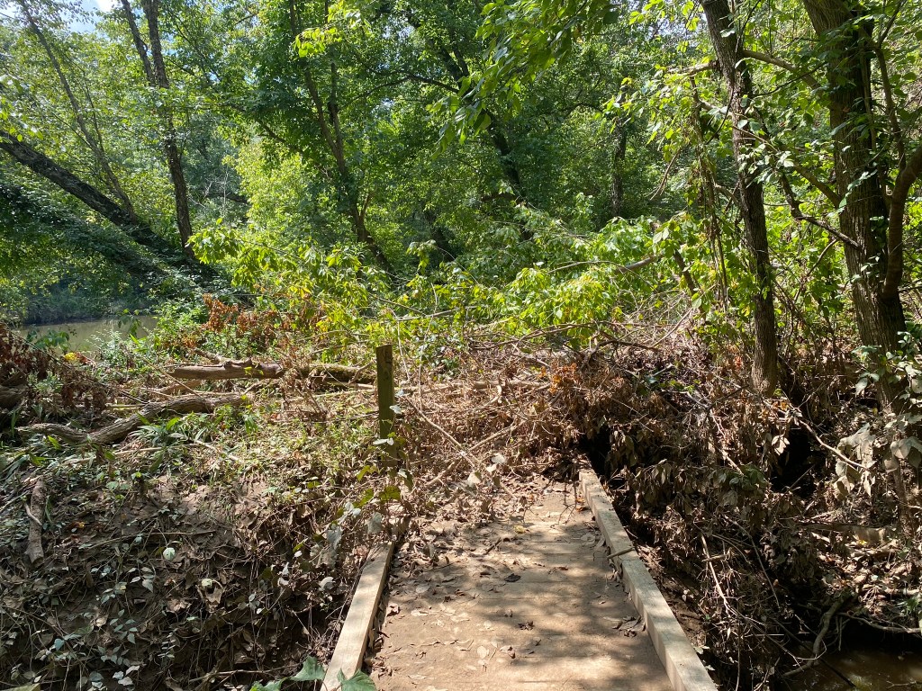
A lot of the trail was quite muddy, as expected following all the rain and flooding last week.
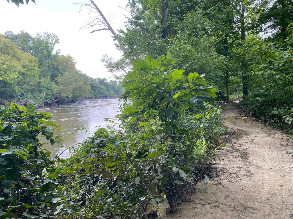
Occasionally the trail broke out into open fields–a nice change of pace.
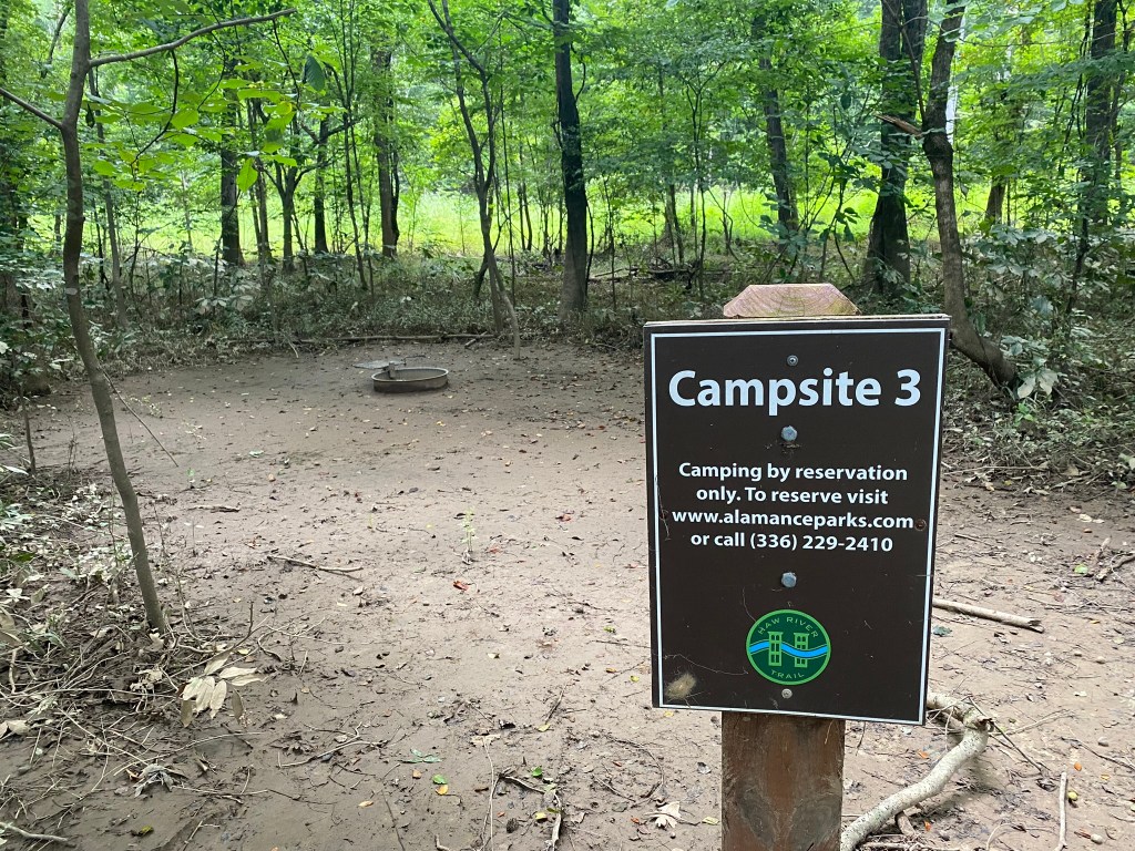
The campsites would be appealing in dry weather–but this week the low spots were all mud.
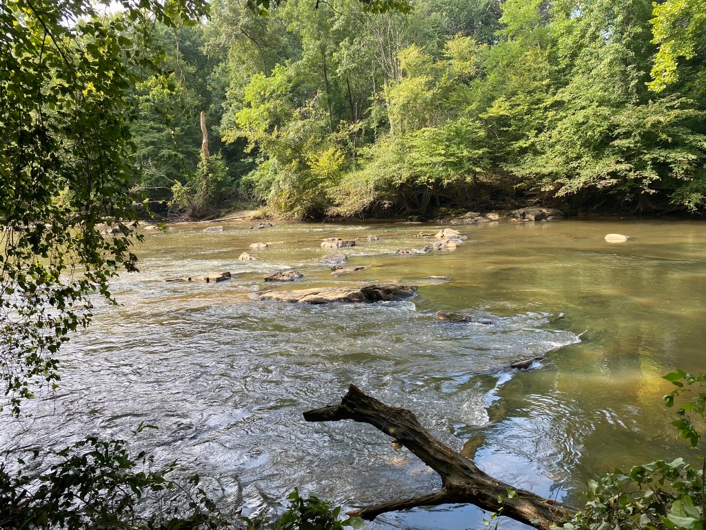
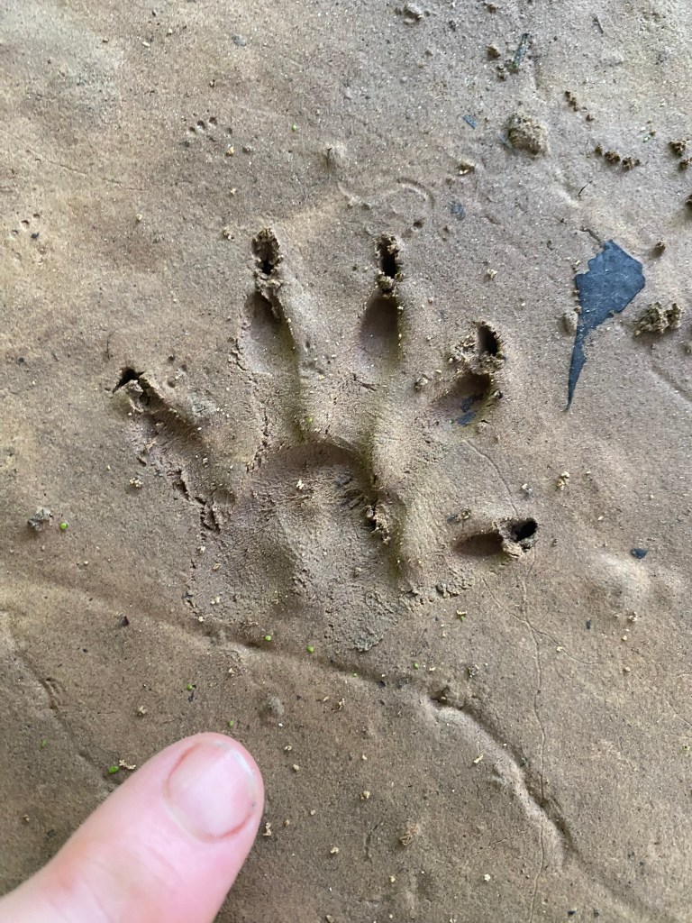
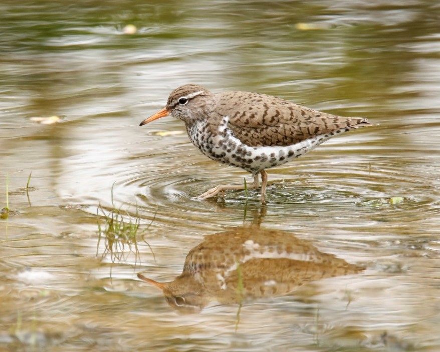
I saw Great Blue Herons and even one Spotted Sandpiper out on a rock.

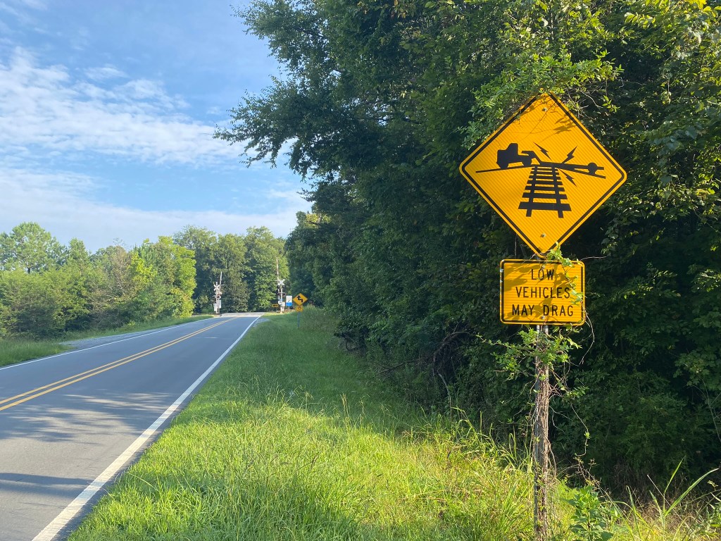
Crossy Stony Creek along another two miles of road.
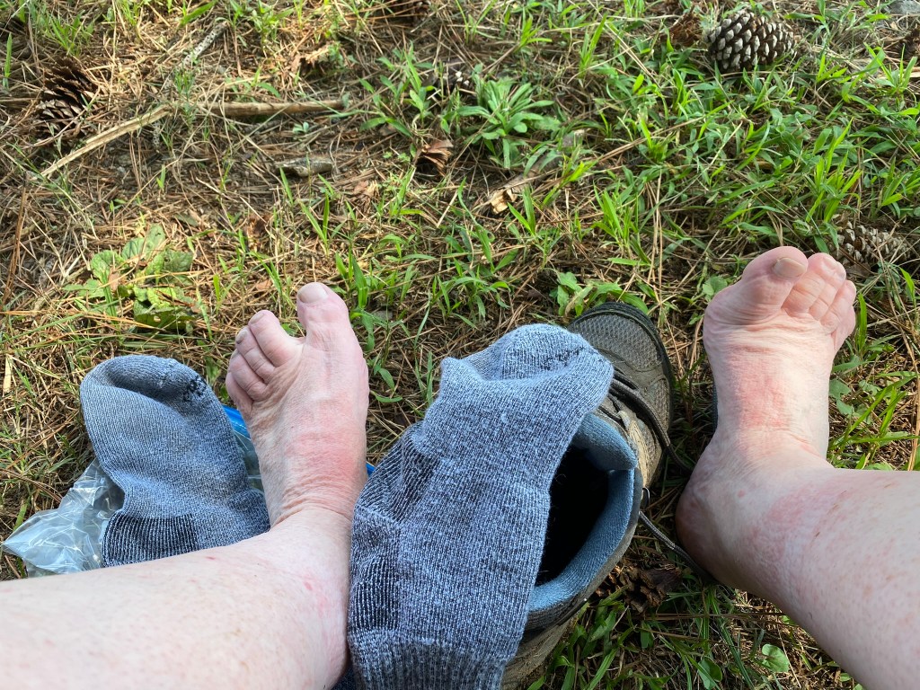
At about 12 miles I found a place to rest for my one sit-down break of the hike. I also changed out my wet socks for this dry pair. Wonderful!!!
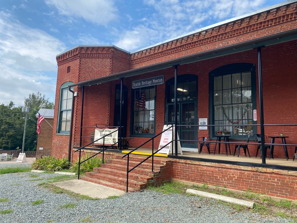
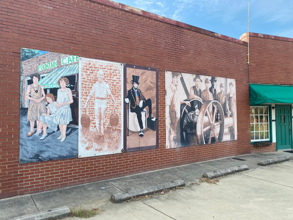
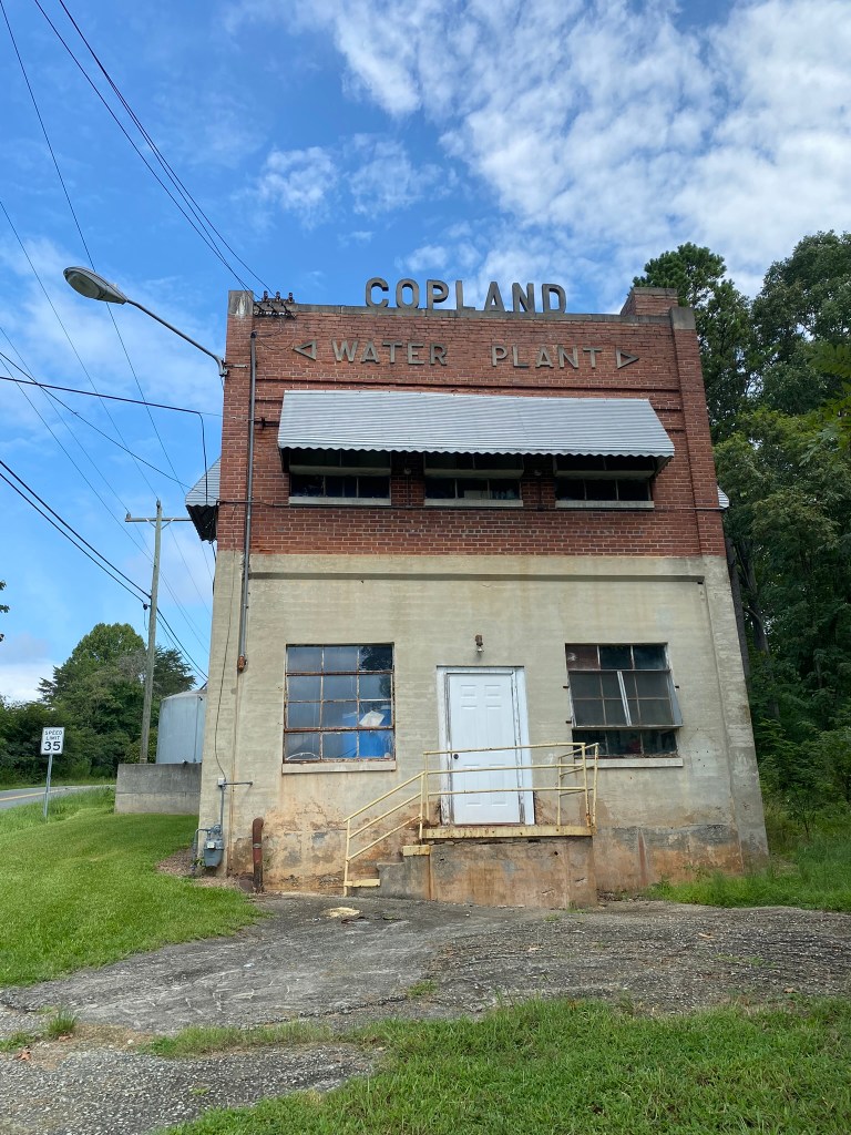
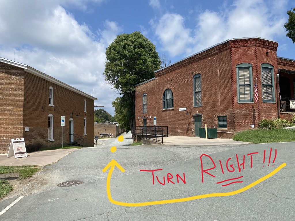
At the Textile Heritage Museum the MST route directions say:
Turn left on Glencoe Road.
So I did.
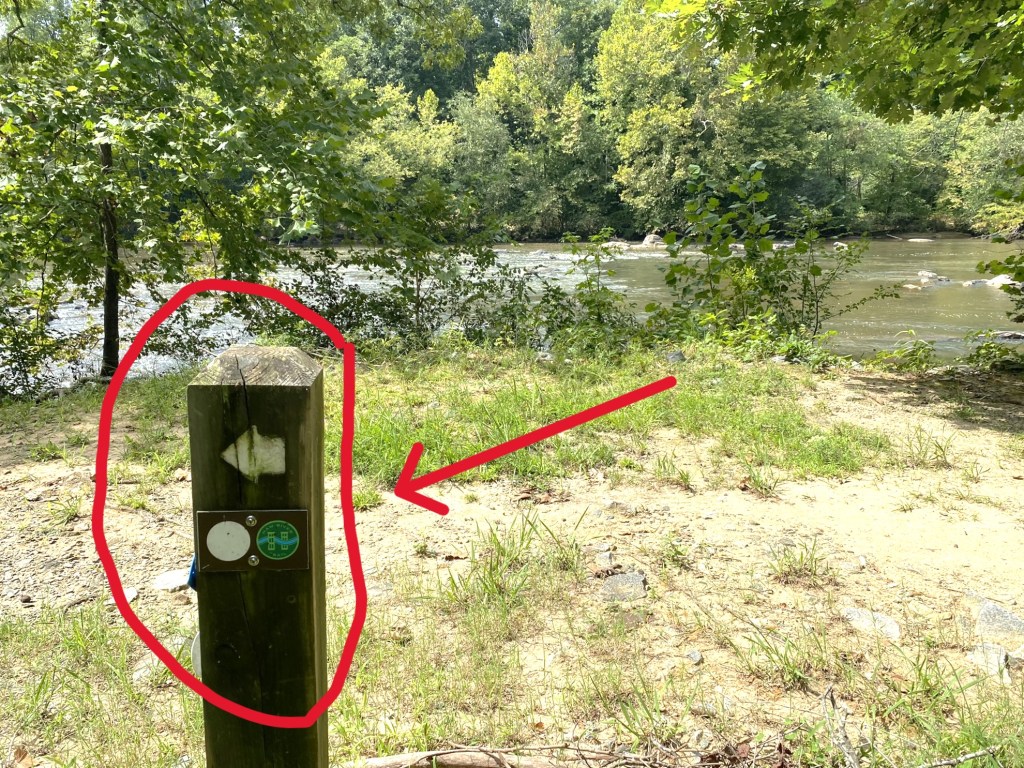
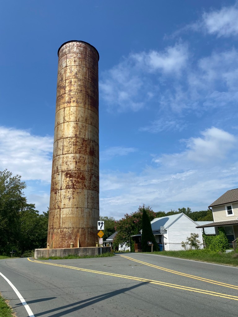
The next few instructions didn’t make a lot of sense with what I was seeing, but then I spotted this helpful signpost, with the familiar WHITE DOT.
After 3/4 mile of this pretty trail, I finally realized I was heading DOWN-river, back in the direction of Mebane. Not good.
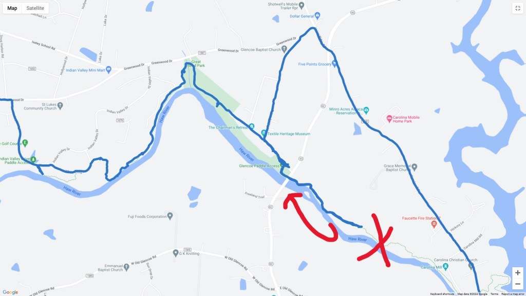
I went back to the Textile Museum and chose “the other left”–that is, I went to the RIGHT, and once again was on-route.
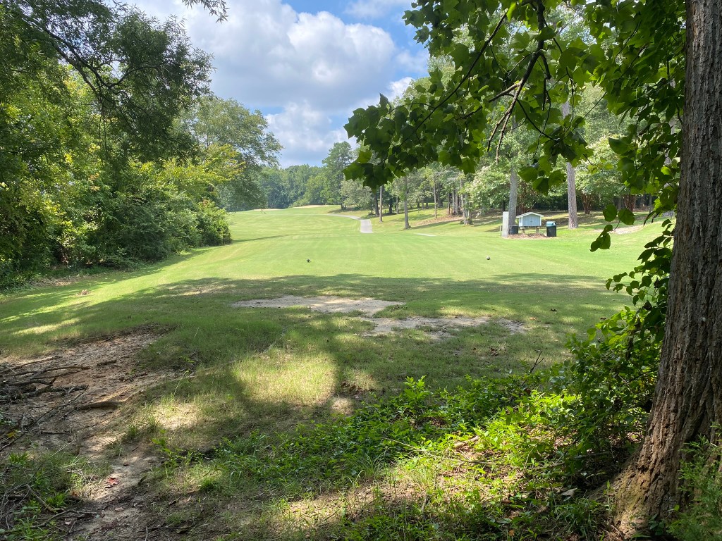
Remarkably, the Haw River Trail weaves in and out of the Valley Golf Course.

Unfortunately, all the trail sections were in really bad shape: super muddy, with lots of windfall.
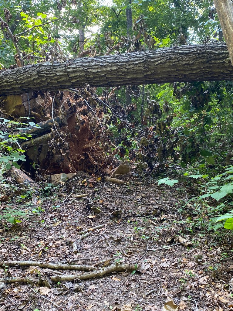
I was able to get through, but it was pretty messy going.
I was kind of relieved to be back on roads for the final three miles, even though it was pretty busy with traffic.
My shuttle driver came all the way from Hillsborough to give me a lift back to my car in Mebane.

Thank you, sweetheart!

The Haw River sounds mighty familiar. (To someone who lived in Hillsborough).
A long hike, & lots of mud!
Good to hear Loren!
God’s grace to you all.
Lorraine Boyd Cypress, TX
>
LikeLike