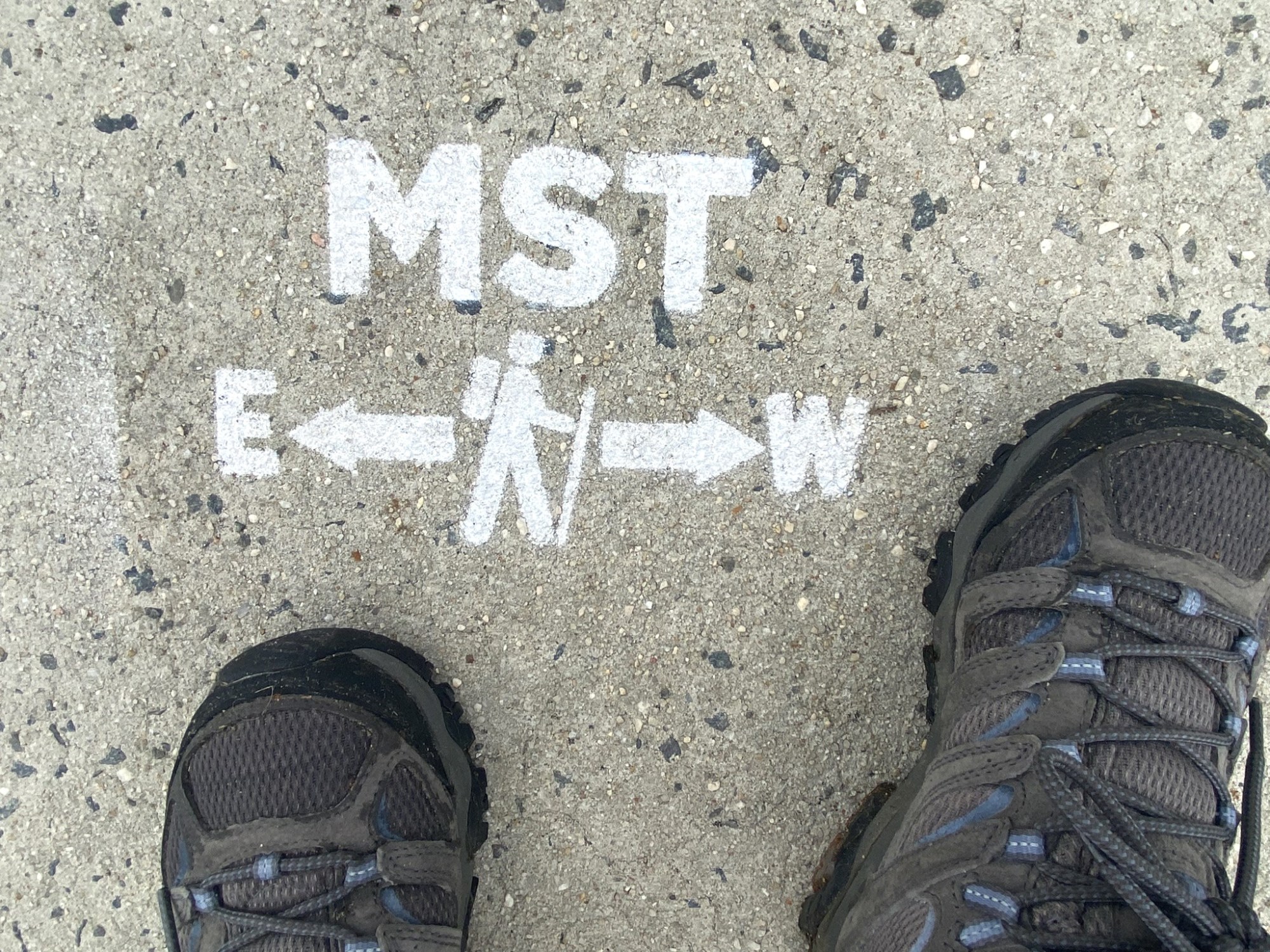
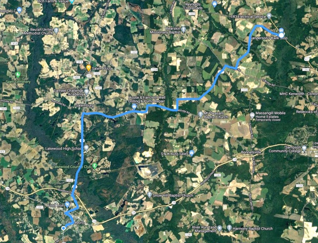
Sanderson’s Kwik Stop in Clinton to Roseboro
July 19. Shuttle by Greg B. to the convenience store, 15 miles back to car.

It’s been longer than I had anticipated, getting this next hike in, but there were family matters to attend to, and then day after day of really hot and unsettled weather.
But finally there was a reasonable window of opportunity, so I was back out on the roads in Sampson County. It stayed under 90 degrees and was overcast all day.
No solar umbrella or head dowsing necessary, but plenty of hydration.
I carried all my water with me (about 4 liters) so I didn’t have to search for spigots at churches or parks today.
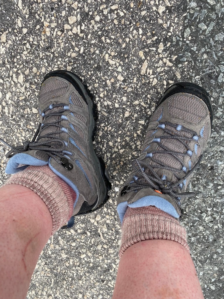
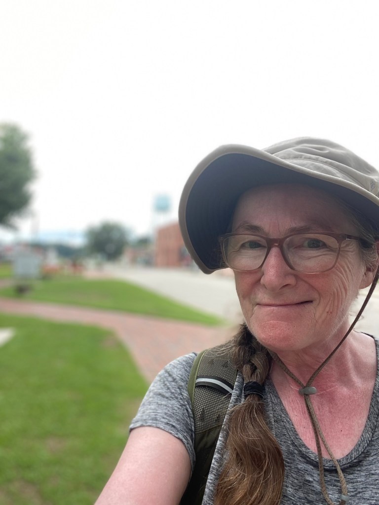
Me, I am celebrating a new pair of WATERPROOF boots.
The ankles chafed a bit, but the feet were dry and comfy.
And there was frequent stepping out into the wet grass on this route.
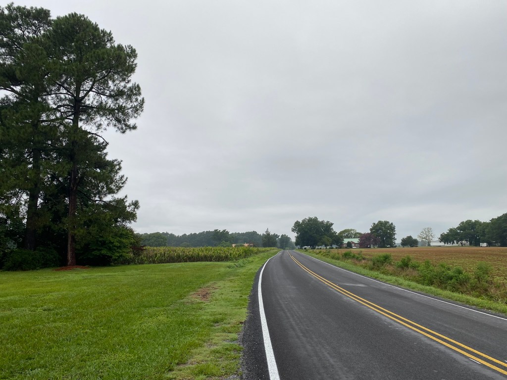
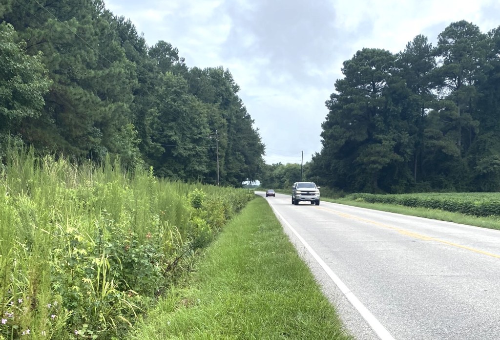
Bonnetsville Road and then later NC 242 were particularly busy with traffic.
This is really good habitat for warblers….but it’s late July, and they aren’t singing any more.
And I forgot to bring my binoculars!
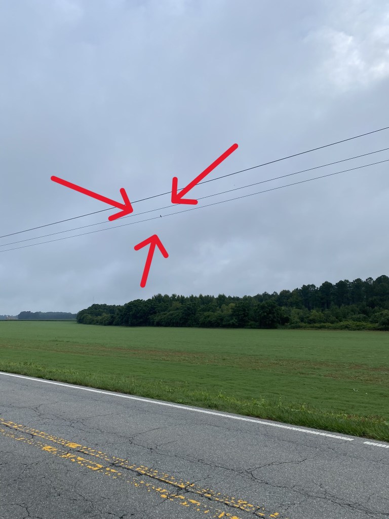
Even still, I was easily able to identify this as a Loggerhead Shrike.

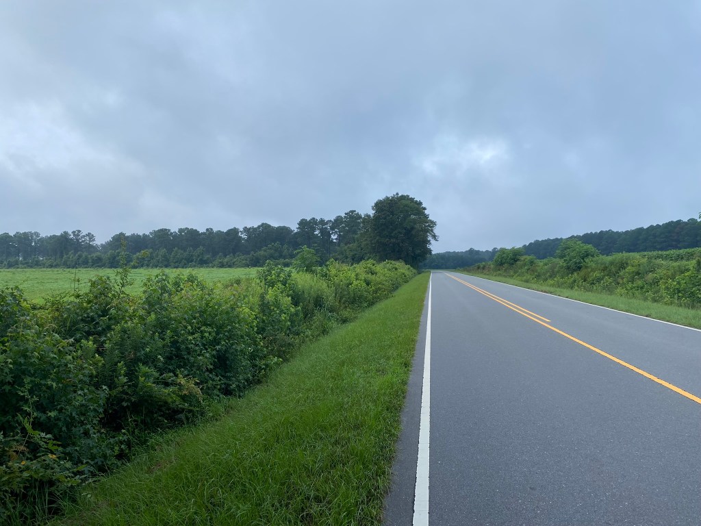
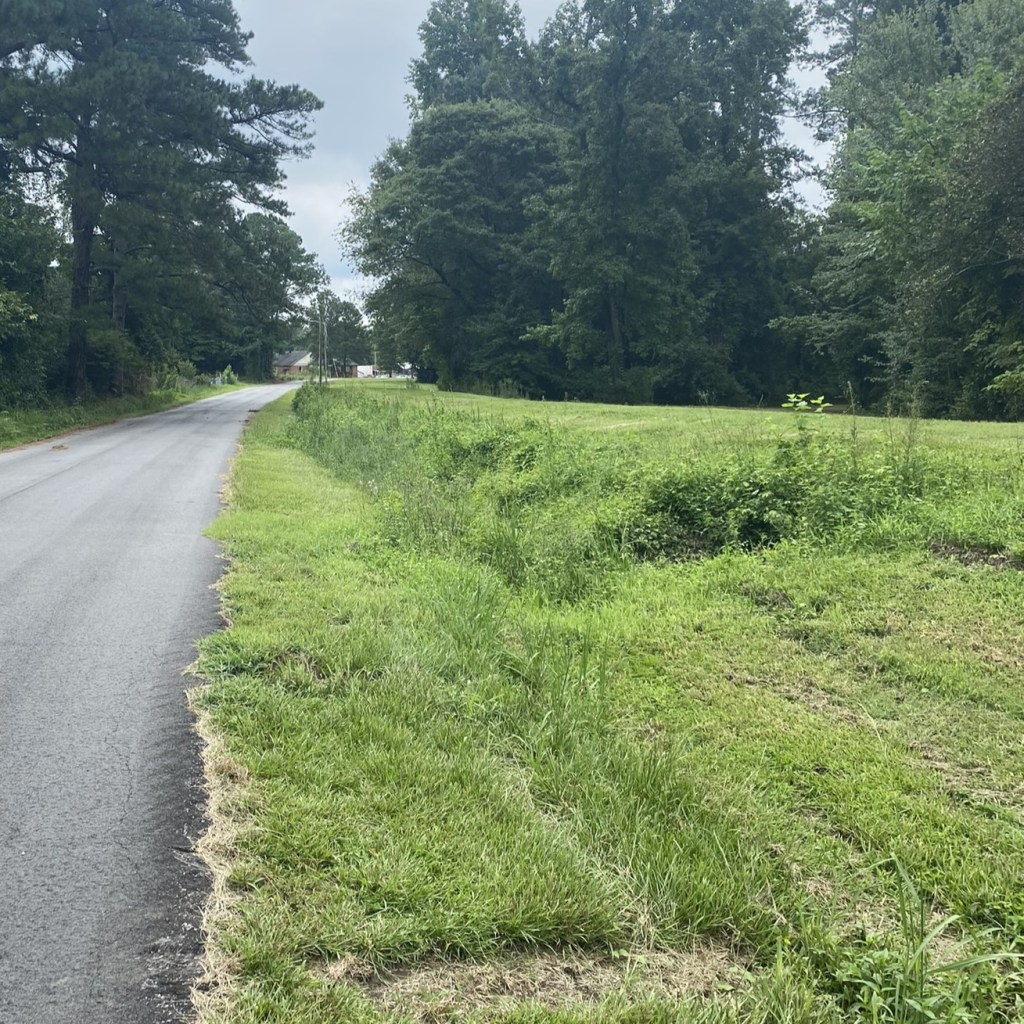
Miles and miles like this.
As I walked along the long straight sections, I memorized some verses from Colossians, Chapter 1.
And speaking of walking:
“….walk in a manner worthy of the Lord, fully pleasing to Him…”
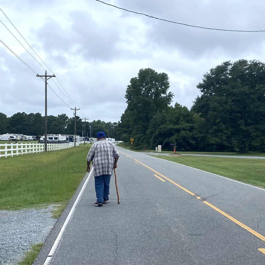
This is the first fellow pedestrian I’ve met along the farm roads! He was heading to Salemburg for groceries, with a friend bringing him back home. We had a nice chat.
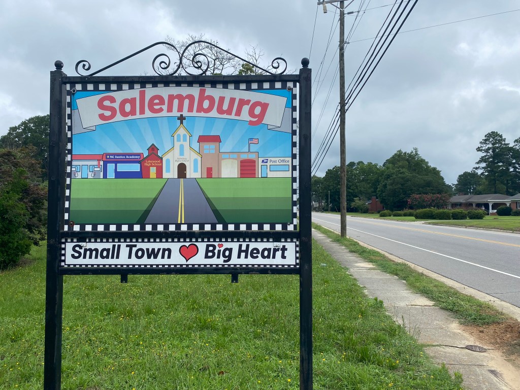
I didn’t go into Salemburg, since it was off-route, but headed south toward Roseboro.
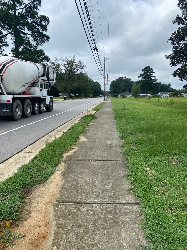
There was one small stretch of sidewalk along NC-242, and I even crossed the highway to make use of it…for a quarter mile!
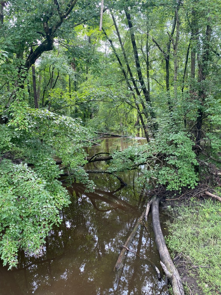
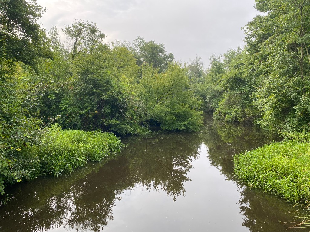
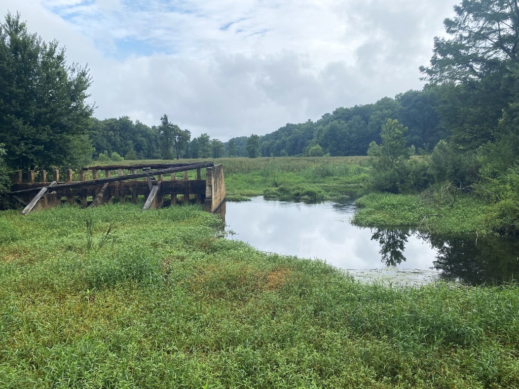
Little Coharie Creek.
Eventually there will be a trail available here through the Pondberry Bay Plant Conservation Preserve. Volunteers are hard at work to make that happen, but it takes time to get all the permissions and then to build the trail.

After five hours of steady hiking, I arrived in Roseboro.
It’s clear why this is named “Railroad Street.”
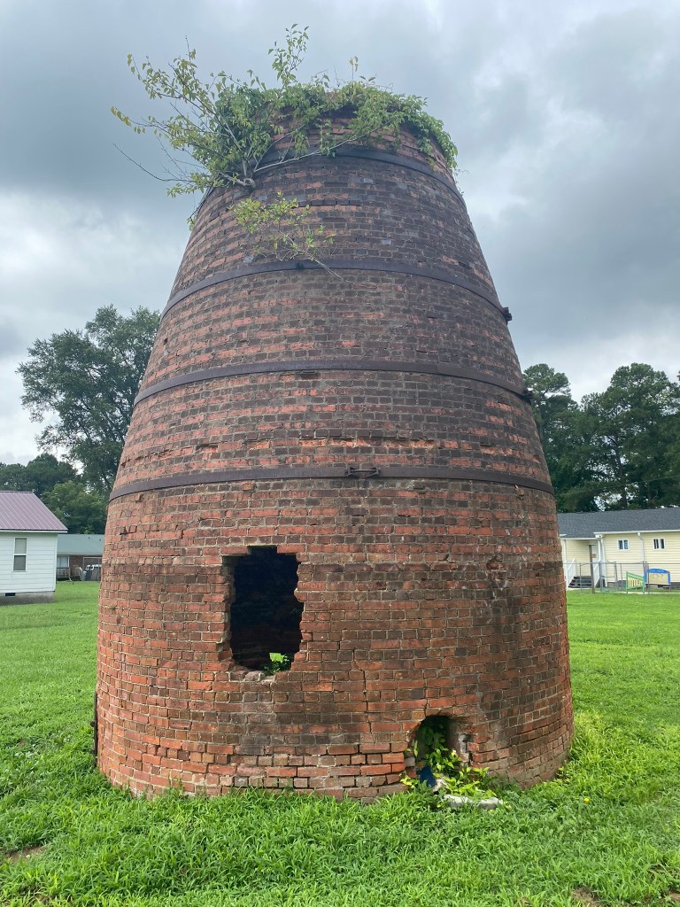
This brick cone silo is the only remnant of the lumberyard that was located here in the early 1900’s. It was used as a burn box for slab lumber that was too short or too thin for running through the planer mill–which shaved splinters off of rough-cut sawmill boards.
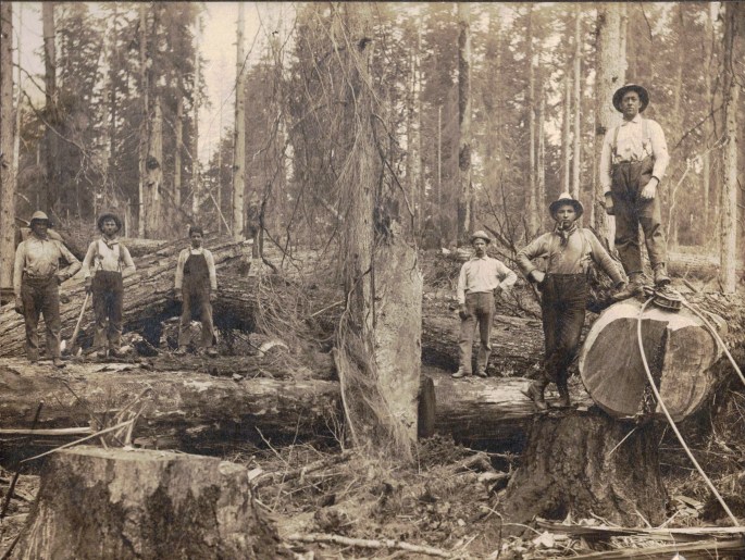
My grandfather, great-grandfather, and great-great-grandfather were all loggers in the Pacific Northwest, so I appreciate these types of artifacts!
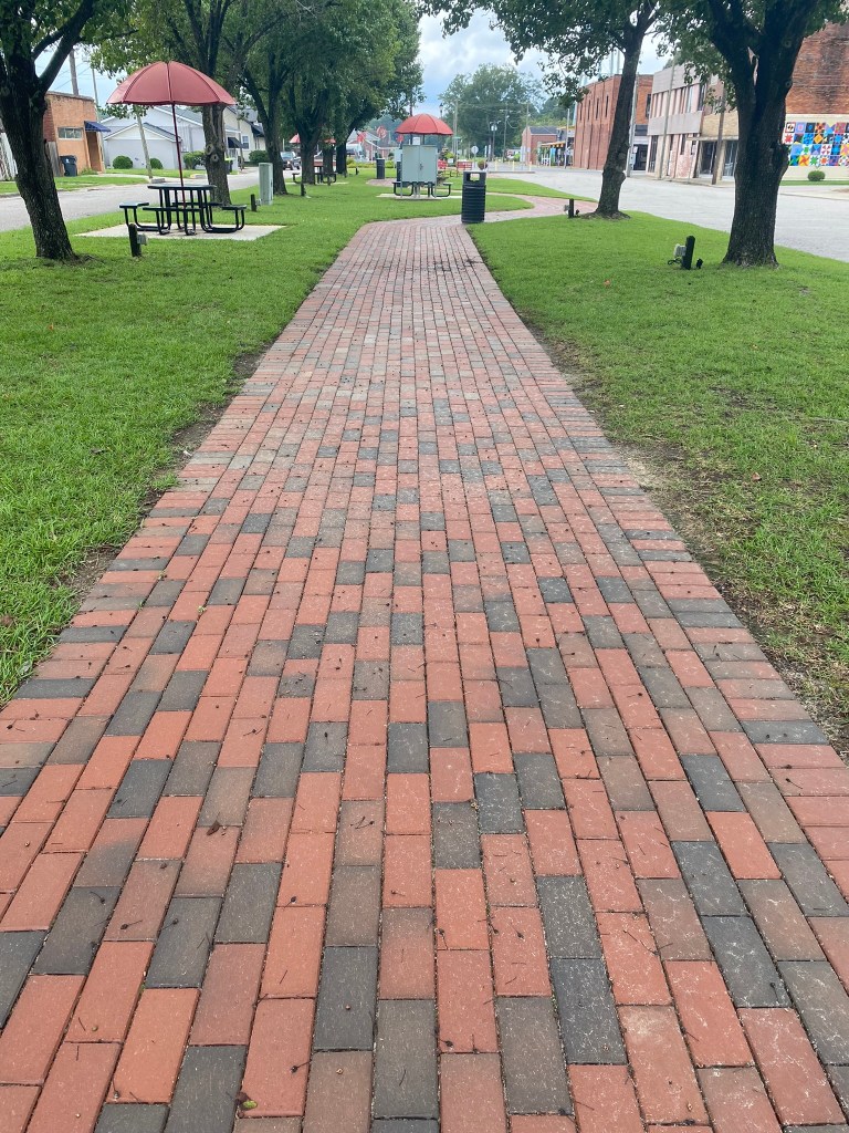
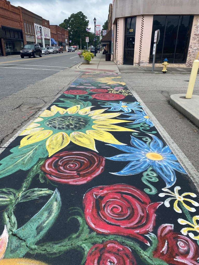
A royal red carpet leads walkers into downtown Roseboro.
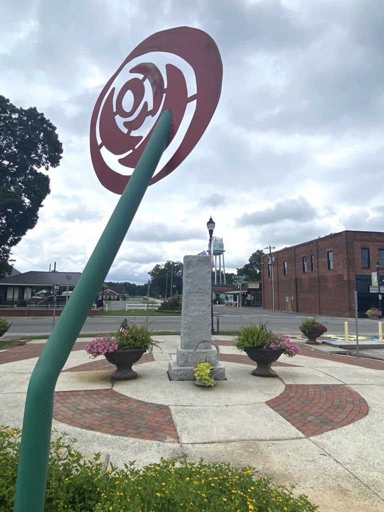
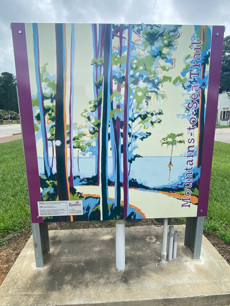
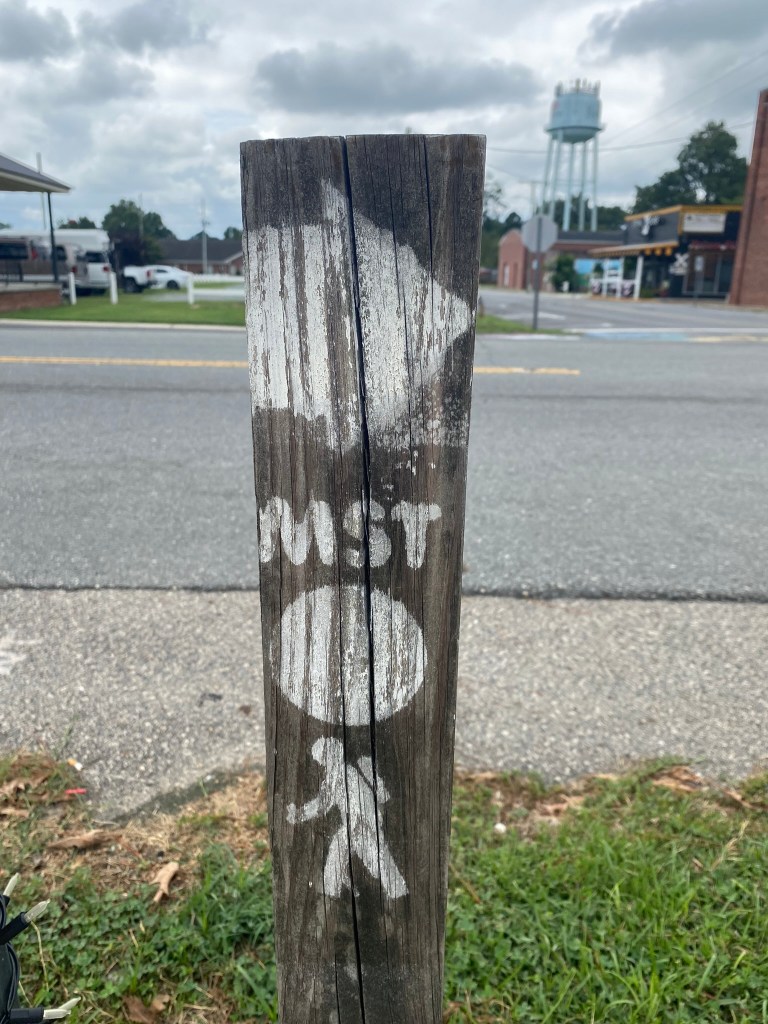
Roseboro is very welcoming to us MST-hikers!
Only one more hike to complete Segment 12!

I tried twice to leave a comment & nothing happened, both times. Lorraine Boyd
>
LikeLike
Now it’s working!
LikeLike