Cabe Lands to Rivermont Road

The second segment was a little longer, a total of 6.7 miles round-trip.
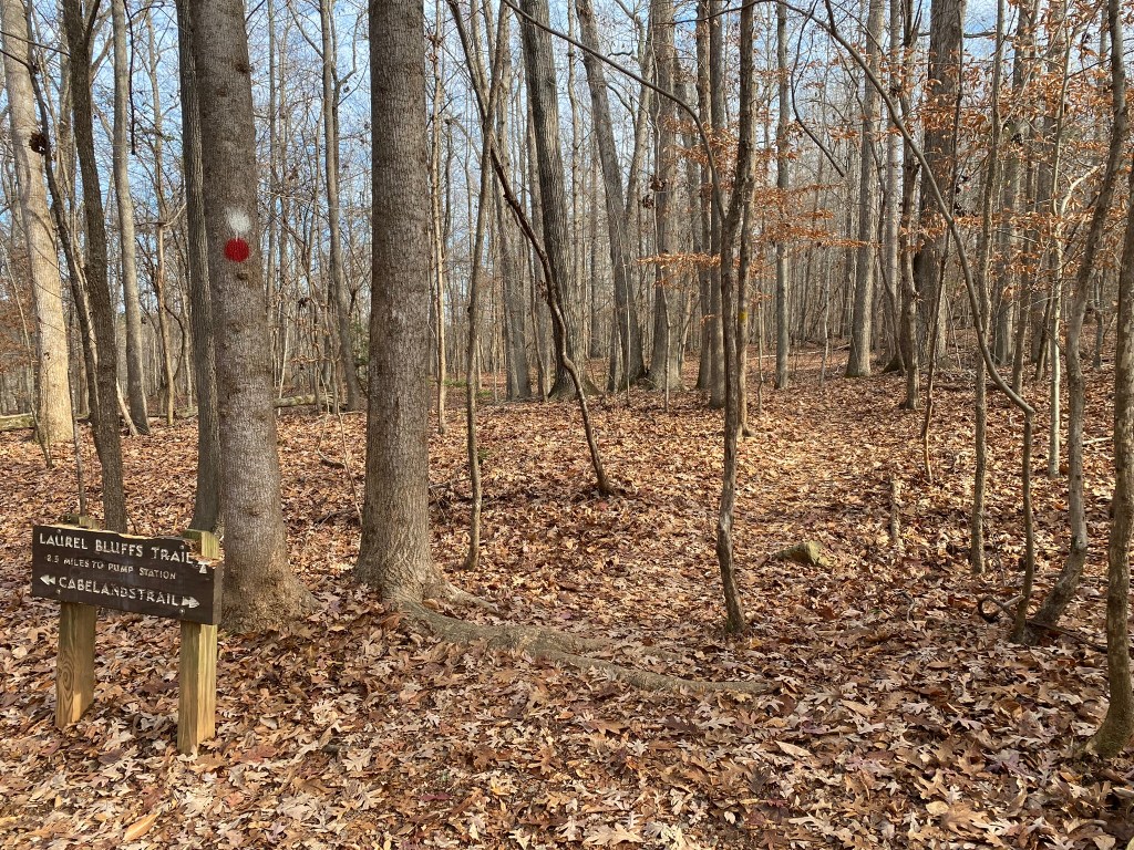
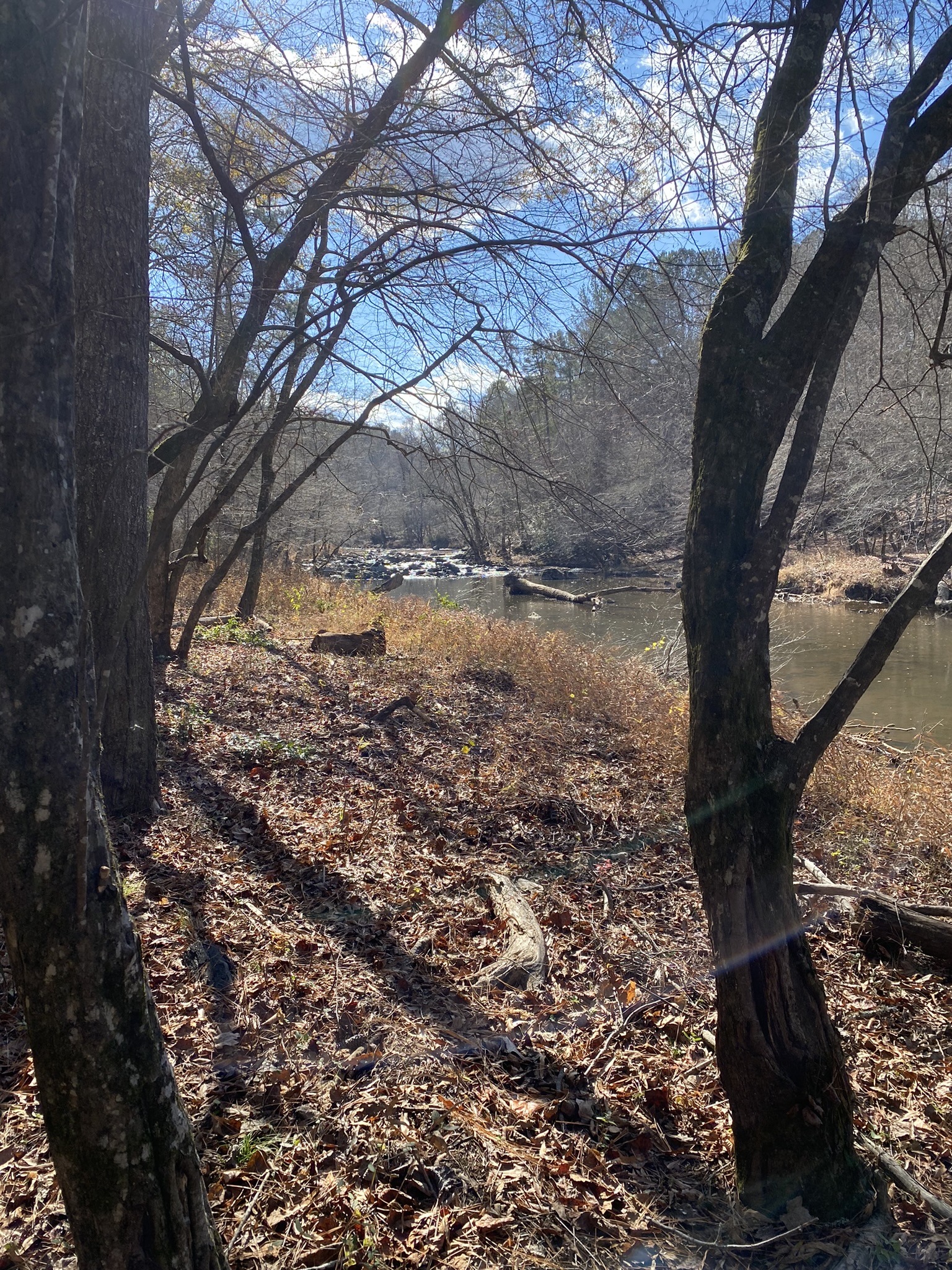
From the Cabe Lands parking lot it was .2 miles downhill to meet the MST where I had turned around last time.
It was actually kind of fun to get back to that spot, then continue on eastward.
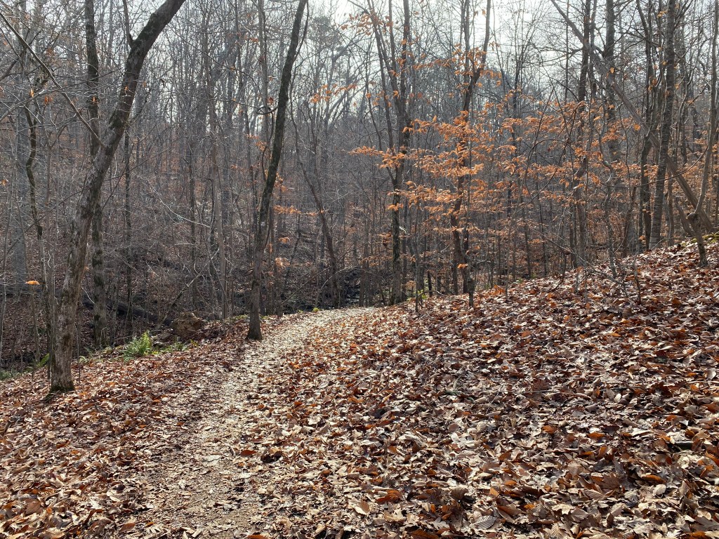
Trails beckon you, saying, “Come around this next bend–what do you think you’ll see?”
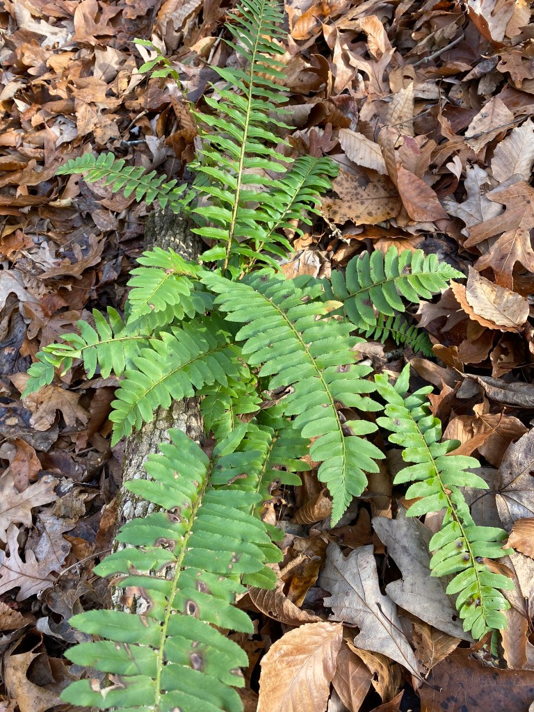
My “Seek” app identified this as a Christmas Fern. It’s about the only thing that’s green this time of year, except for pine trees and the rhododendrons.
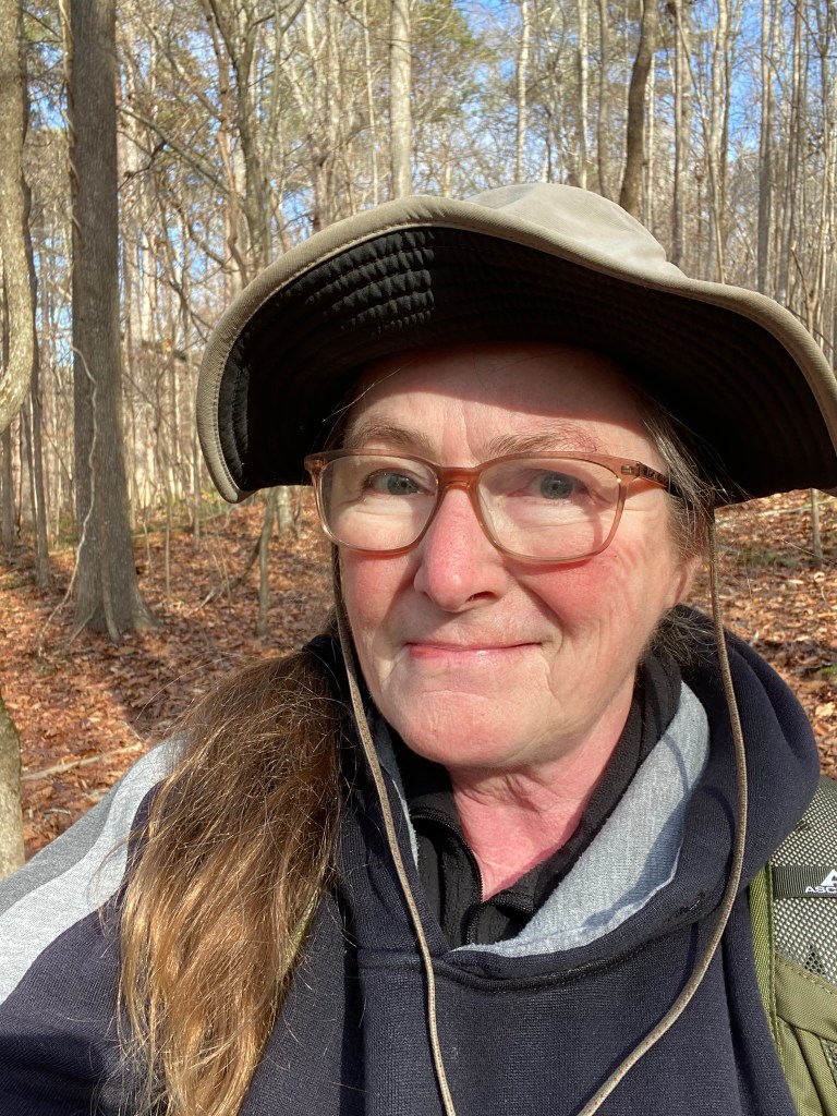
Wardrobe update: I added my sun hat. The first hike I only had my wool hat, but that got uncomfortable once the day warmed up. Now I know to bring this one to switch into.
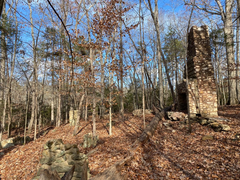
This is the remains of a 1930’s hunting lodge owned by Samuel Sparger, a wealthy insurance salesman.
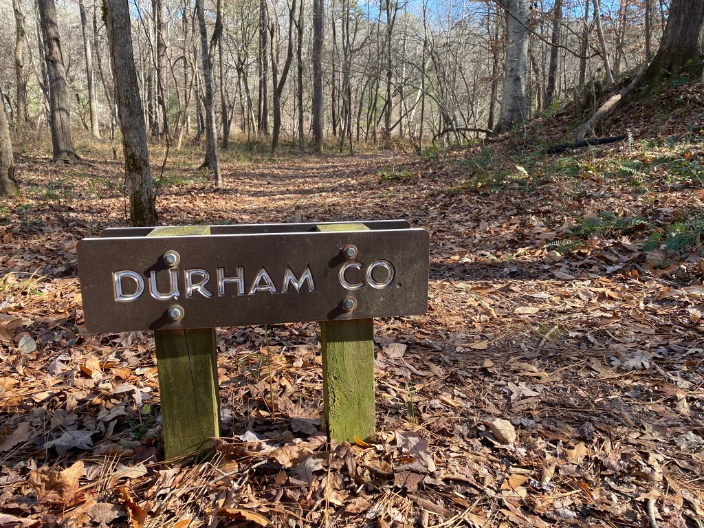
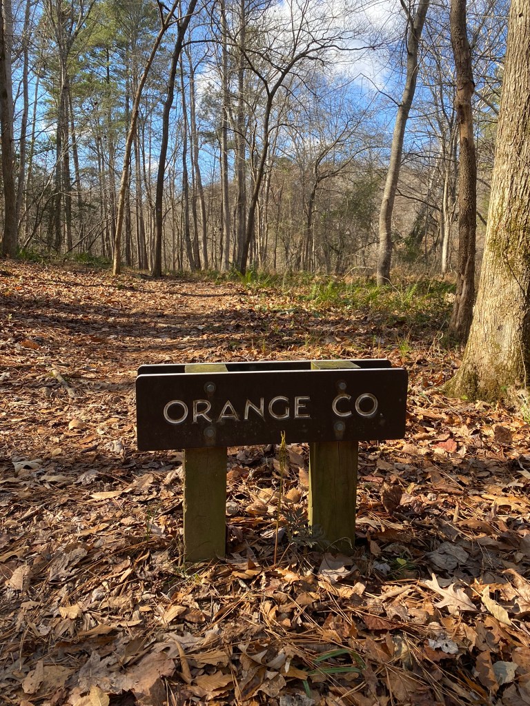
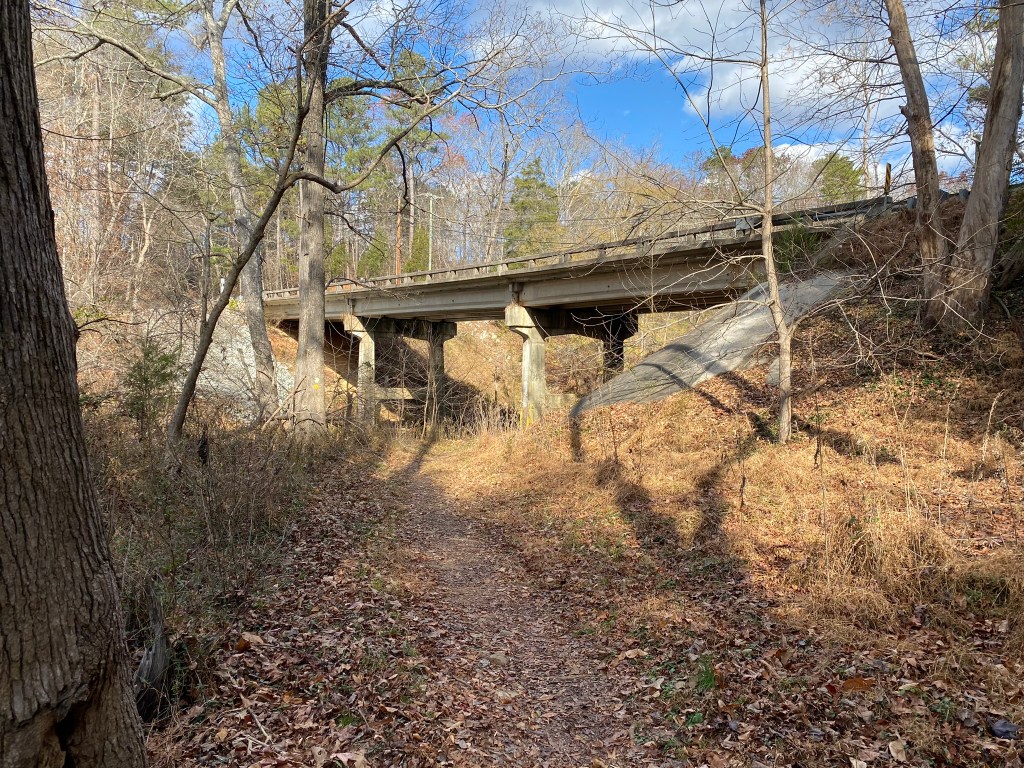
At mile 3.9 (of MST segment 9) you cross into Durham County.
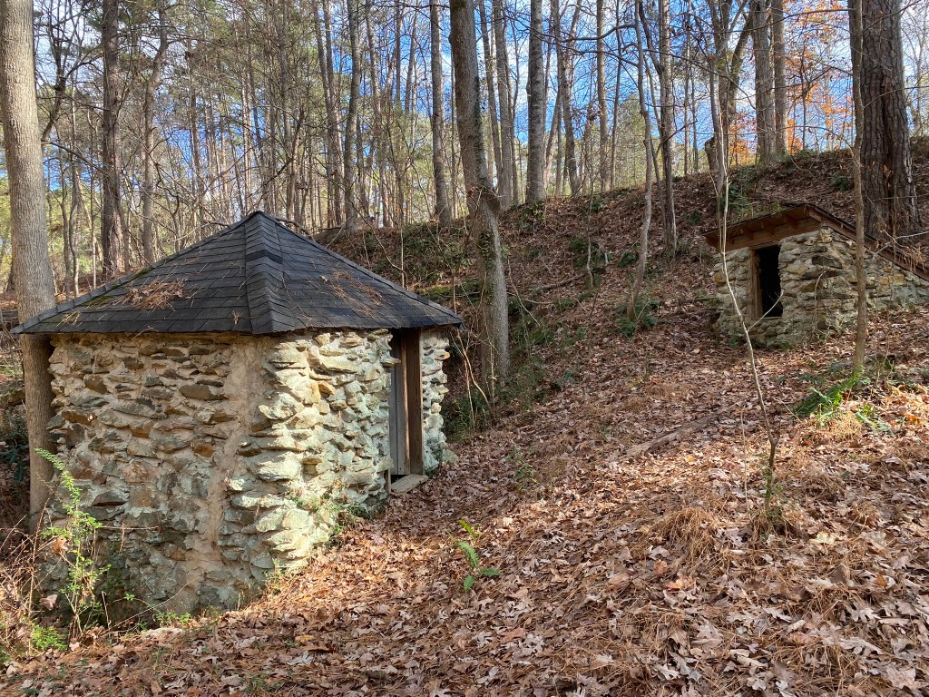
These are former water-pump houses. It’s pretty amazing to find so many stone structures still standing along the river. It’s so quiet now, it’s hard to imagine how busy and noisy it used to be.
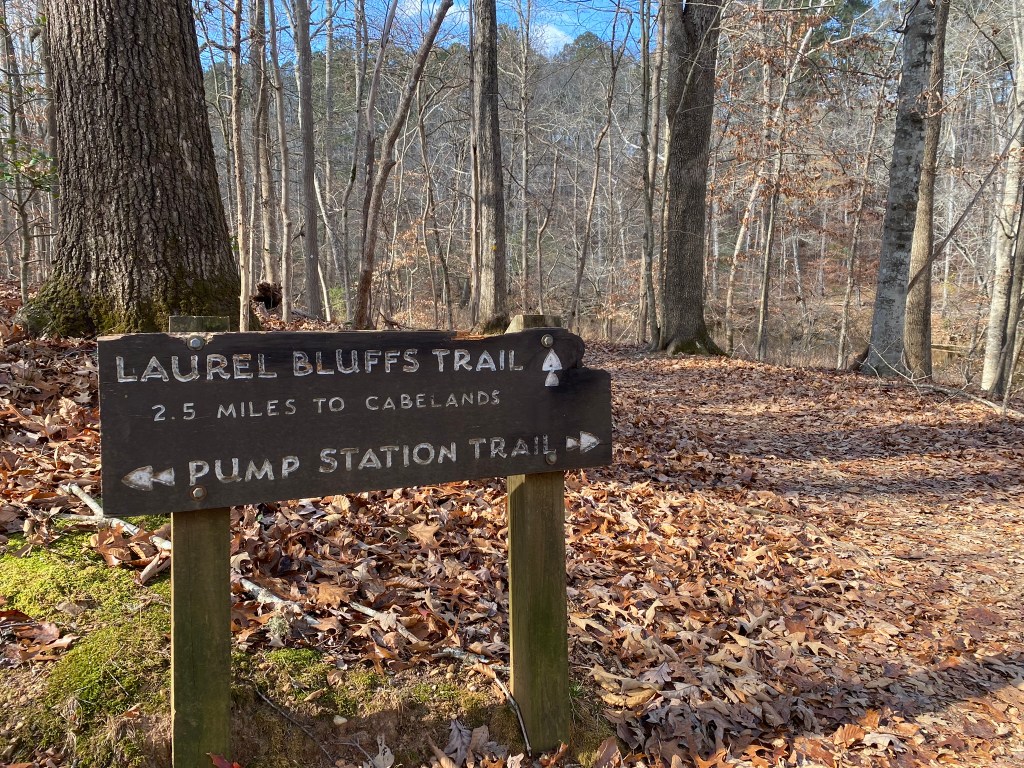
And here is the next trail junction–my turnaround point, at mile 5.4 on the MST.
It’s just as beautiful, doing the return hike–but it goes faster since I’ve already explored the historic structures and stop less for photo ops.