Segment 10: Eno River State Park to Falls Lake Dam
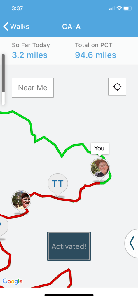
Lately for motivation to get out and walk I’ve been using an app called “Walk the Distance.”
For further inspiration I watched some YouTube videos of through-hikers on the PCT, to get an idea of the terrain.
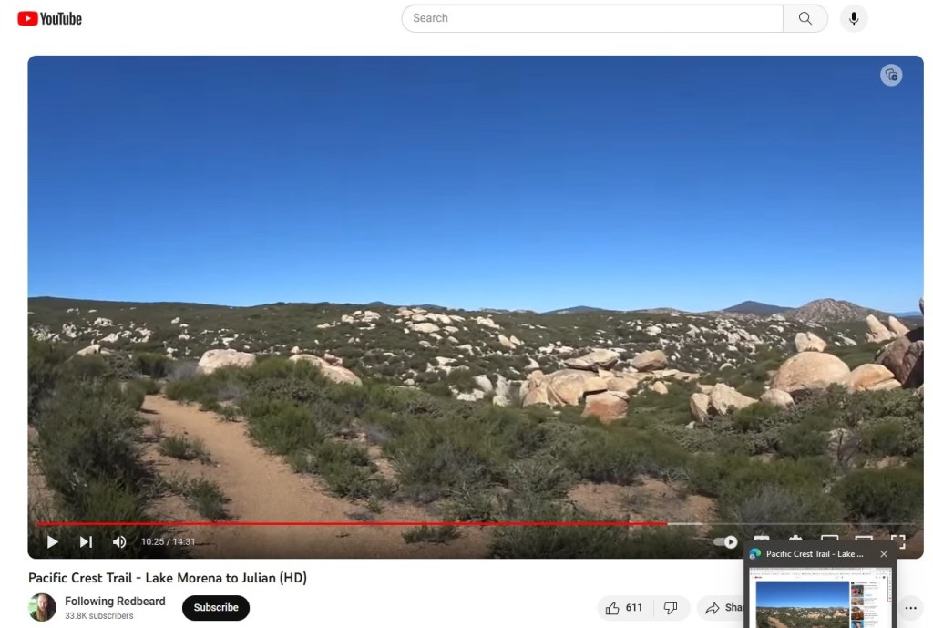
I was immediately filled with a tear-filled longing to achieve some kind of goal on real trails.
And guess what, the North Carolina “Mountains to the Sea Trail” runs right near our house!
The MST stretches 1175 miles from the Great Smoky Mountains to the Outer Banks.
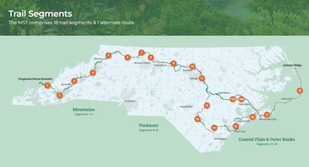
It’s a work in progress, with long trail-less stretches along busy roads, and one section that’s completed in a canoe or kayak.
But the 80-mile-long Segment #10 is mostly trails, not roads or waterways, so that is what I’m going to tackle—one little bit at a time.
Let’s go hiking!
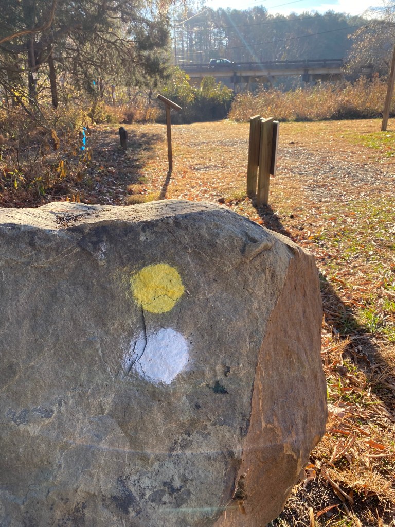
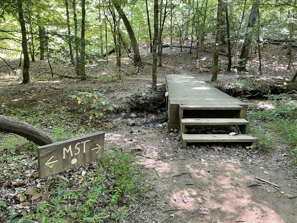
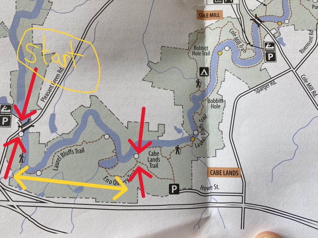
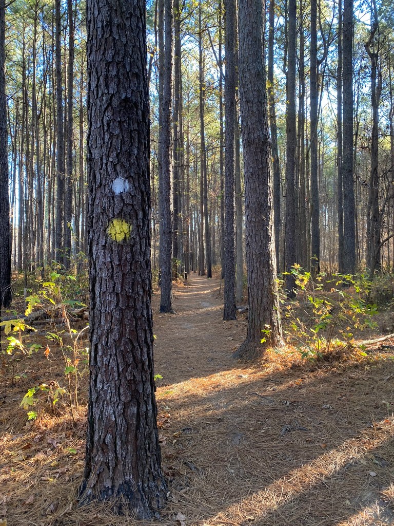
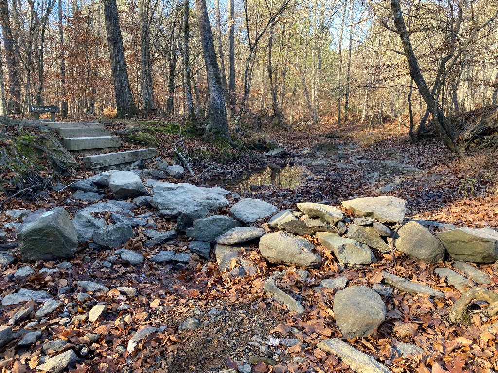
Segment 10 (eastbound) begins at Pleasant Green Road in Eno River State Park near Durham. The MST (white dot) runs together with the Laurel Bluffs Trail (yellow dot).

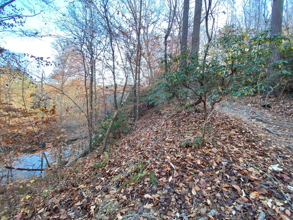
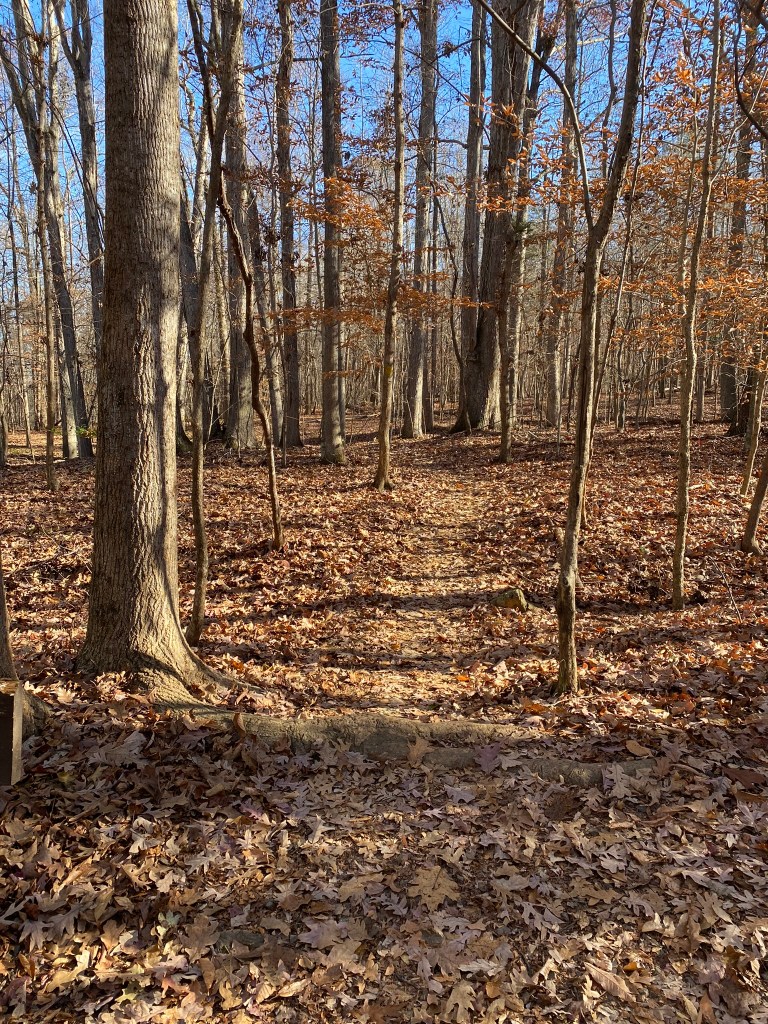
The trail quickly climbs up the bluff overlooking the Eno River. The Laurel Bluffs will be really pretty in late spring when the rhododendrons are blooming.
The segment of the MST (#9) that lies to the west has only 15.1 miles of trail with 45.6 miles of road, so I think an MST through-hiker would be pretty happy to be finally walking among these trees on a soft, pine-needled trail.
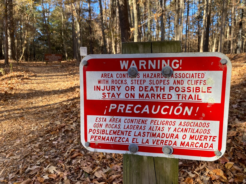
Wow, who knew this peaceful trail would suddenly get so exciting!
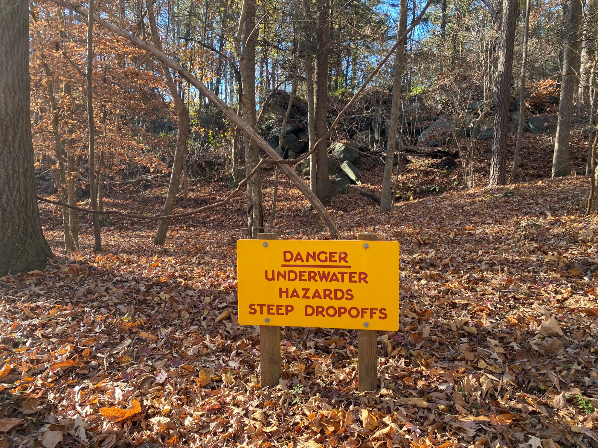
Possible injury or death!!!
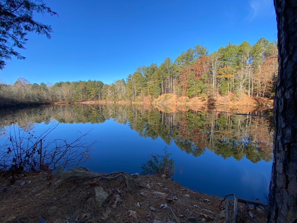
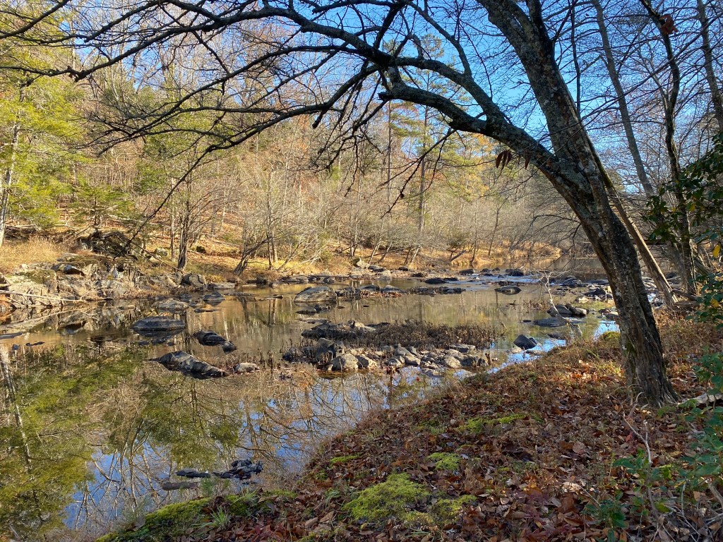
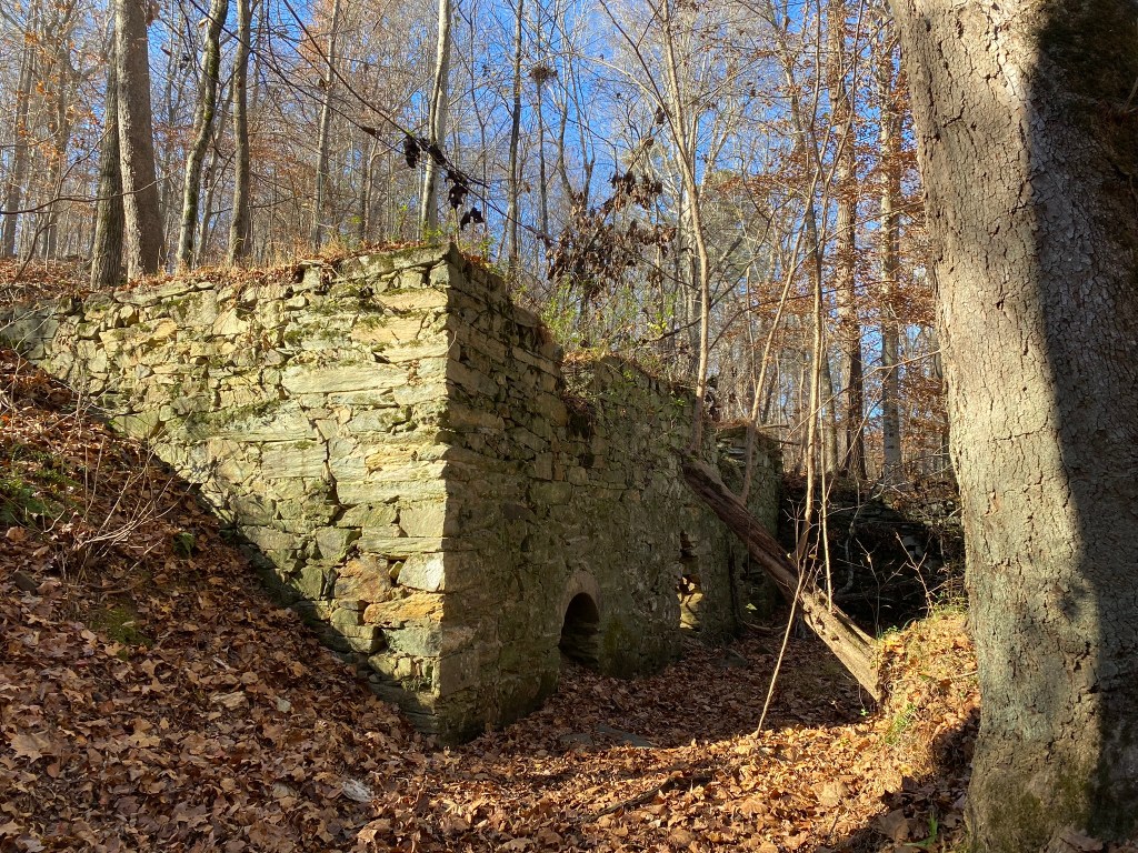
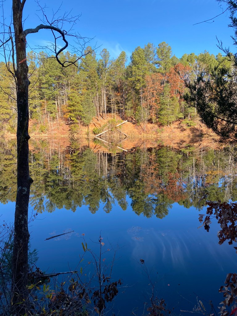
The Eno Quarry was mined in the 1960s to help pave Interstate 85 and was filled with water before being abandoned. It’s a popular swimming spot in the summer, despite all the warning signs.

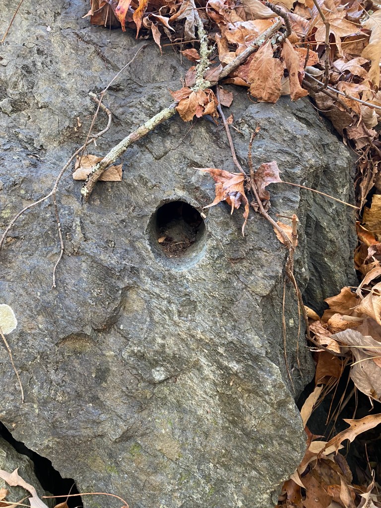
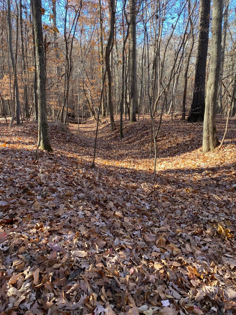
This depression used to be Fish Dam Road. Originally it was a Native American path, then a colonial era road that went from the Neuse River to Hillsborough.


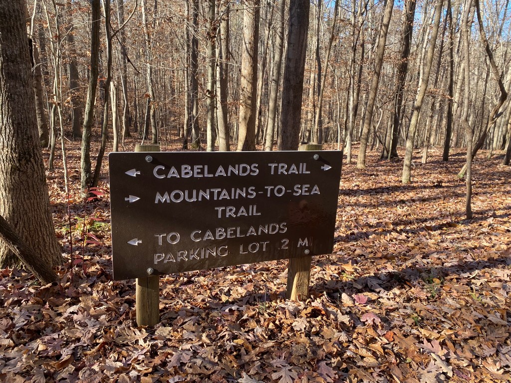
At 2.5 miles I reach the junction with the Cabe Lands Trail.
And that is my turn-around point!
Since I have to return to the car, that’s another 2.5 miles, for 5.0 miles total. Good enough for the first outing.
My next hike will start at the Cabe Lands Trail Access (.2 miles up the hill), then come back to this spot, and then continue on eastward on the MST.

So, back through the beautiful eastern hardwood forest I go–with a few less photo stops.

have you two given up the quest to find the high point of all 100 counties in NC? I can understand this goal: hike 80 miles on stretch of Mountain to Sea trail, in suitable weather.
LikeLike
That quest is on pause for the holidays and some family commitments, but we’ll keep chipping away at the highpoints as we’re able.
LikeLike