CHEROKEE
“County Corner Point”
5040′ 4200′
(#38 of 100 North Carolina county highpoints)
Do not let judgment be swayed by desire when choosing a route or turning back.
–from Freedom of the Hills by The Mountainiers

Desire says, “Keep going! You can do this! You’ve come so far already!”
Judgment says, “You are OLD people, you set a turn-around time of noon, and even getting back to the car at this point will take some effort. Time to stop.”
But let’s back up to the beginning.

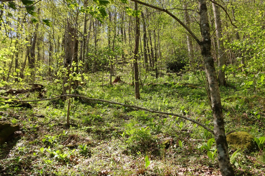
We park at the gate on Forest Road 7099 and walk up this pretty road for 1.5 miles.
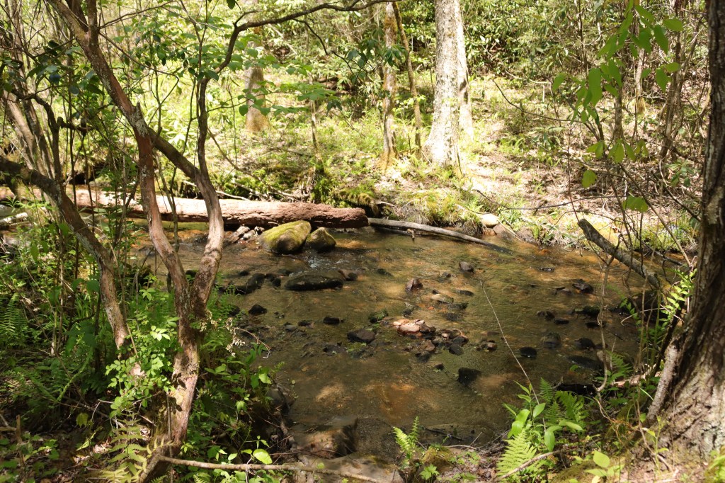
But this pretty road is no longer maintained and has its challenges, including a balance-across-the-slippery rocks creek crossing.
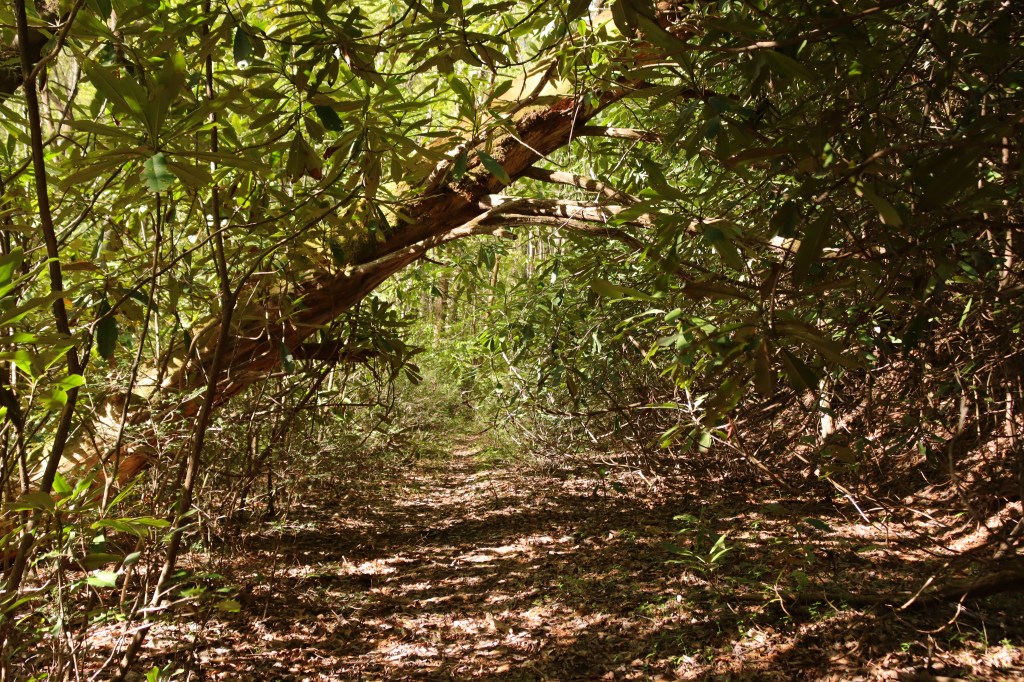
Finally we get to the “Old Road Gap” trailhead.
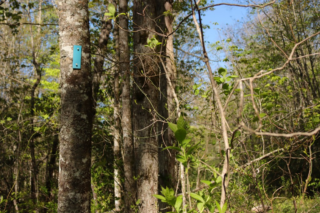
Although we do begin to see the very occasional blue blaze, we are very skeptical about being able to follow the route…or even more concerning…find our way back to the road, to the car, to civilization.
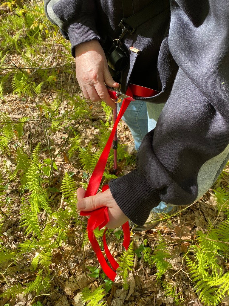
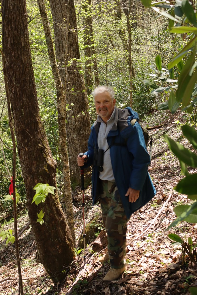
Previous ascent descriptions had warned us that this highpoint was one of the absolute worst in the state, so we came prepared.
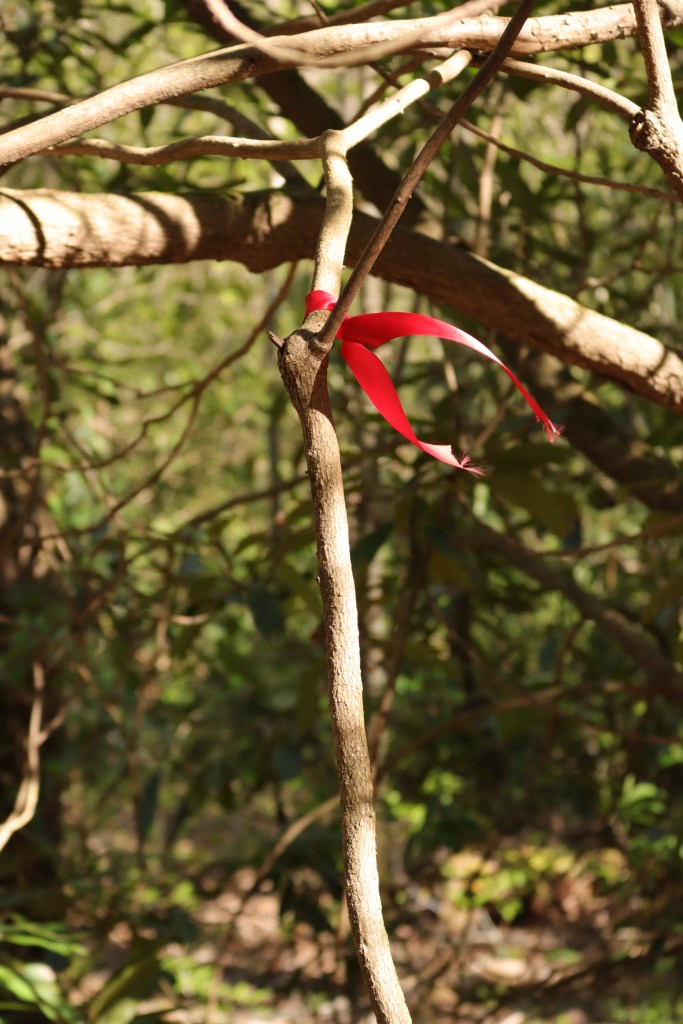
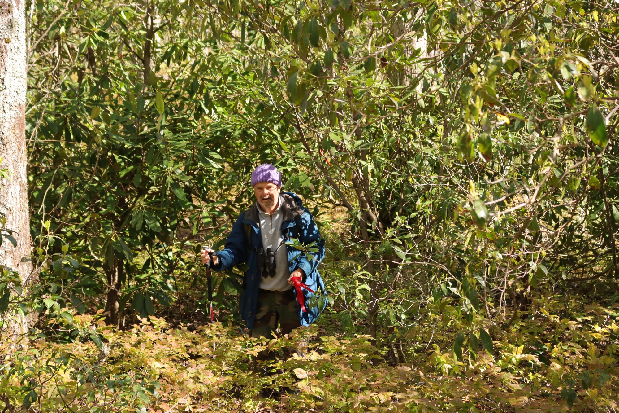
Loren places red ribbon at all the strategic places so we can find our way home.
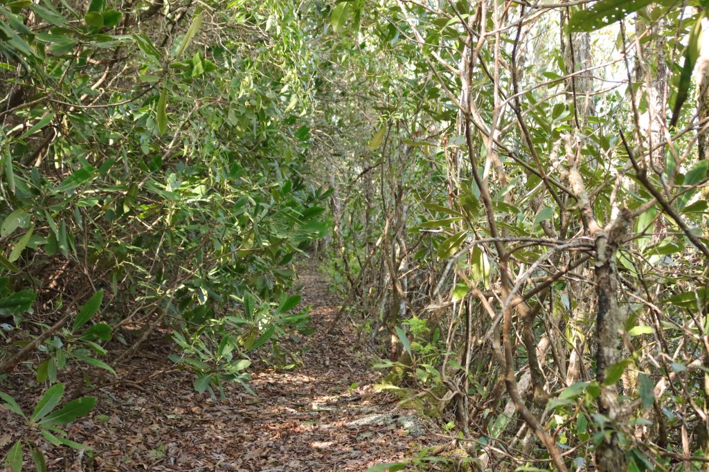
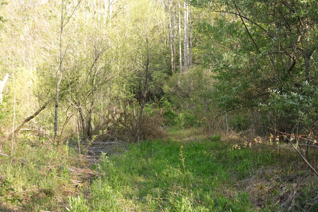
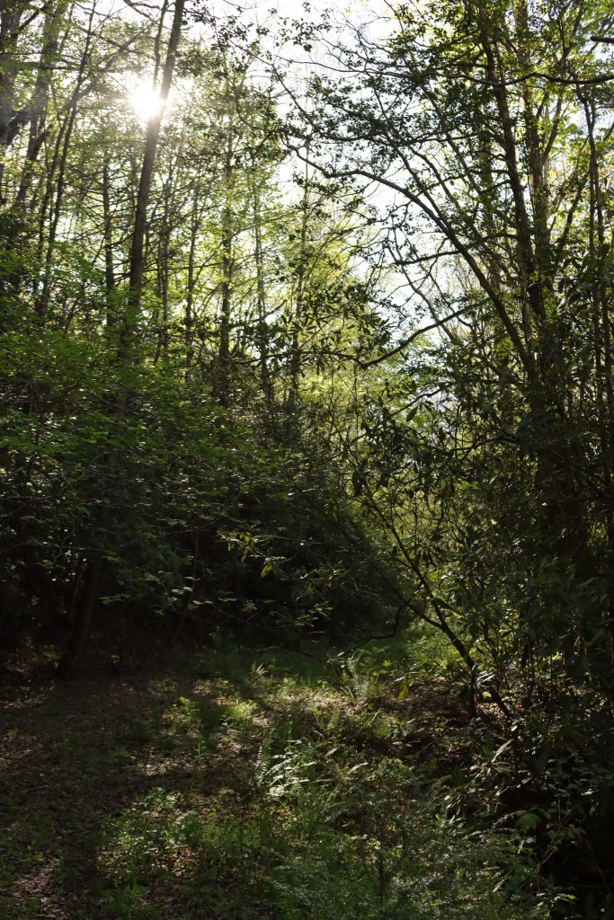
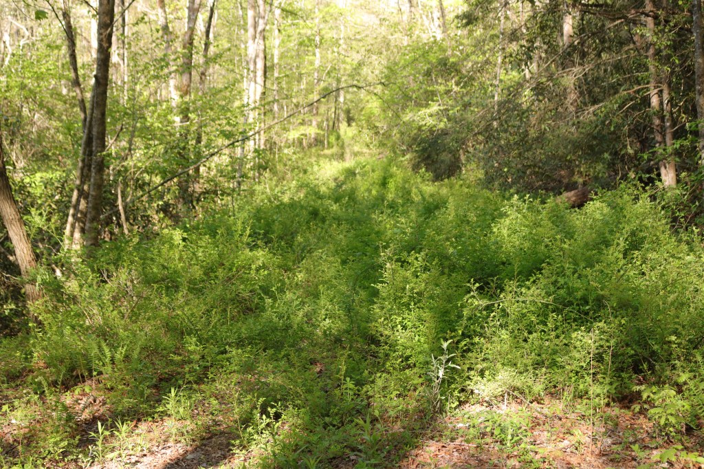
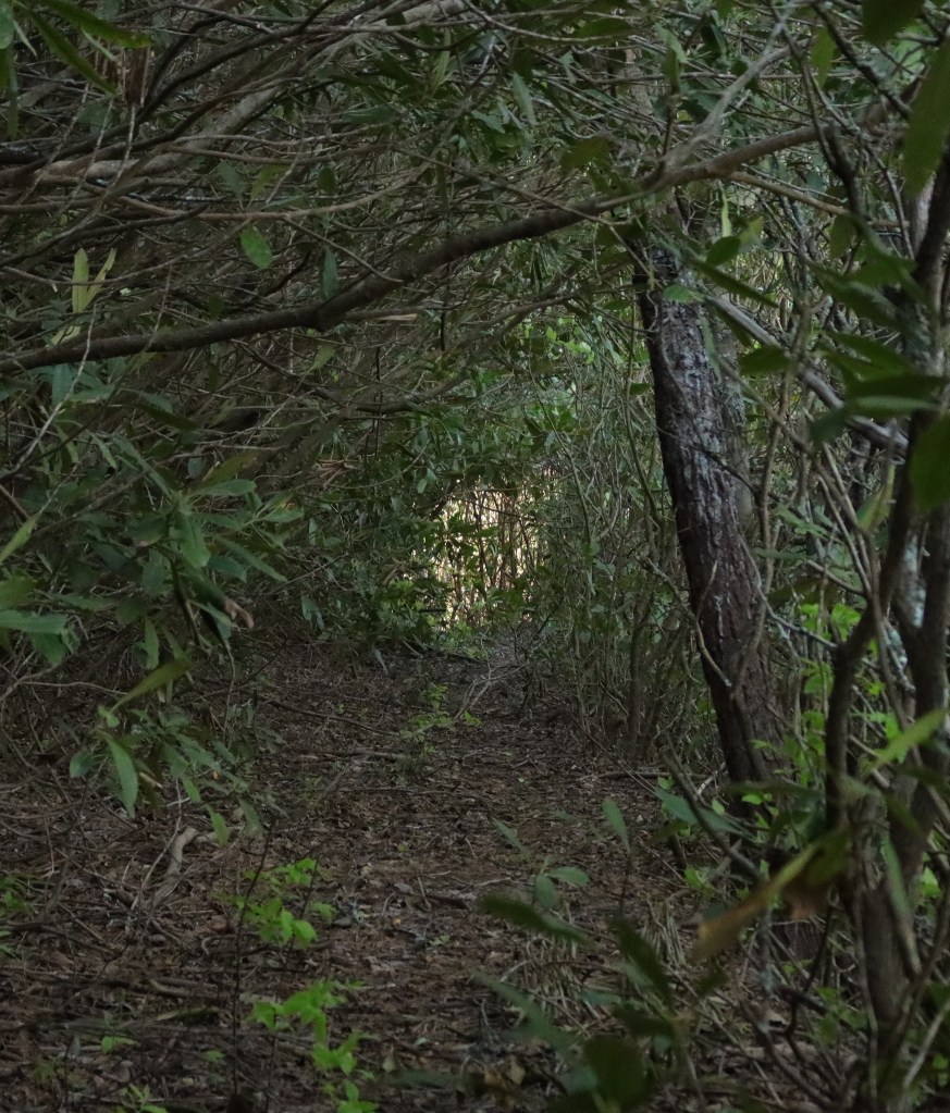
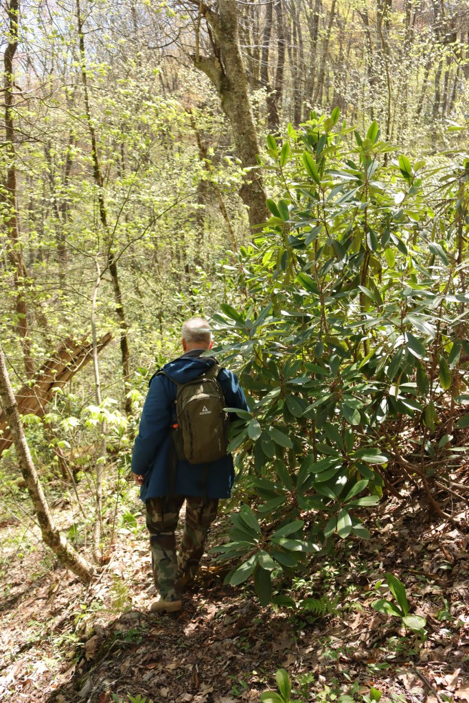
There are a few sections where we actually feel like we’re walking on a real trail–although it’s still overgrown by all these ambitious rhodies.
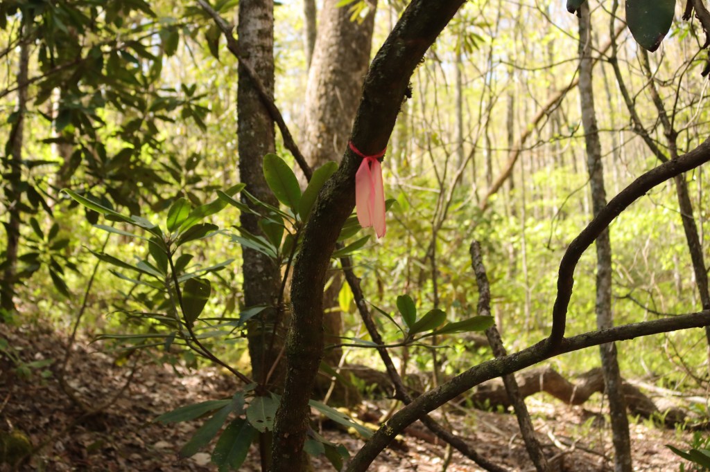
We occasionally see an older, pink ribbon, which is encouraging, although still a good reminder that this route is no picnic!

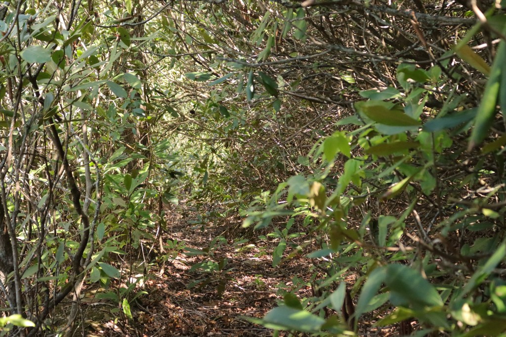
We’re on this incredibly steep slope where there are supposedly switchbacks for another quarter mile, then another quarter mile along the ridgeline, then another half mile to intersect with the 27-mile long Rim Trail (which IS maintained, but too many miles to climb in from that side)…..
and then, apparently, the route gets “really bad,” with a total bushwhack of blowdown and thorny bushes and of course giant rhododendrons and not even a hint of a trail.
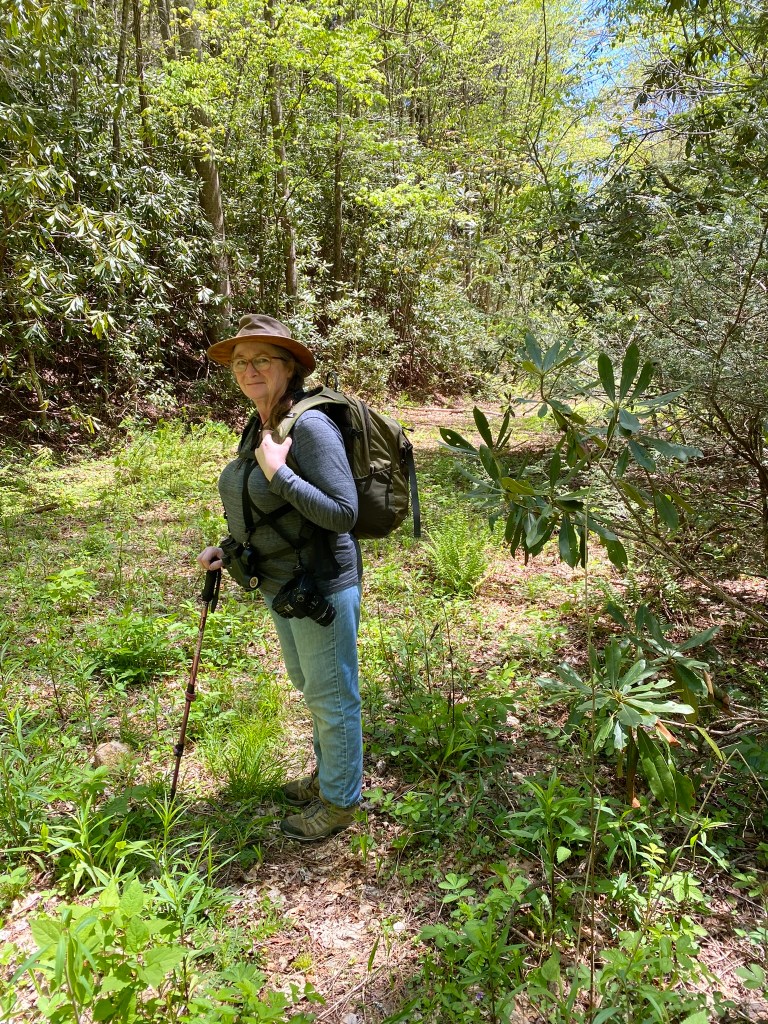
This is Loren, providing the Voice of Reason about needing to adhere to our agreed-upon turn-around time of NOON. We’ve been at this for over three hours!
Thanks to our Red Ribbons we easily find the way, even though the way is not easy.
We rest our weary feet and celebrate A+ for effort with a little picnic lunch on the shore of nearby Nantahala Lake.
Turns out that the lake, the road, and the entire side of the mountain we were climbing are all actually in MACON County. Only the actual summit reaches into Cherokee County.
And I’m okay with that!

So, had you already hiked to the highest point in Macon County?
LikeLike
Next blog! Completely different location, on the AppalachiannTrail.
LikeLike