BURKE
Long Arm Mountain, 4280′
(#15/100 of North Carolina highpoints)
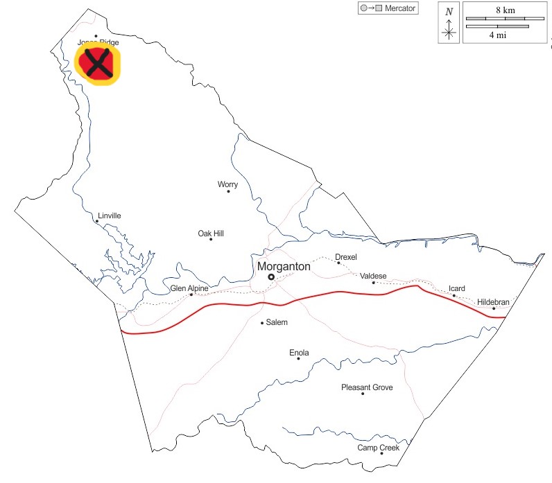
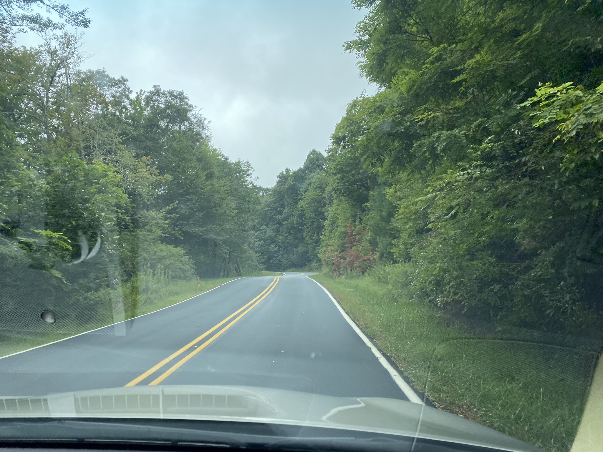
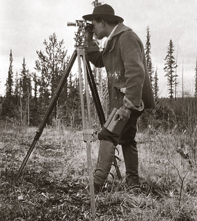
Most of the route in Burke County’s northwest corner was via automobile, but we still had a sweet walk up through the woods to the highpoint. [I’m behind–we did this in early September!!!]
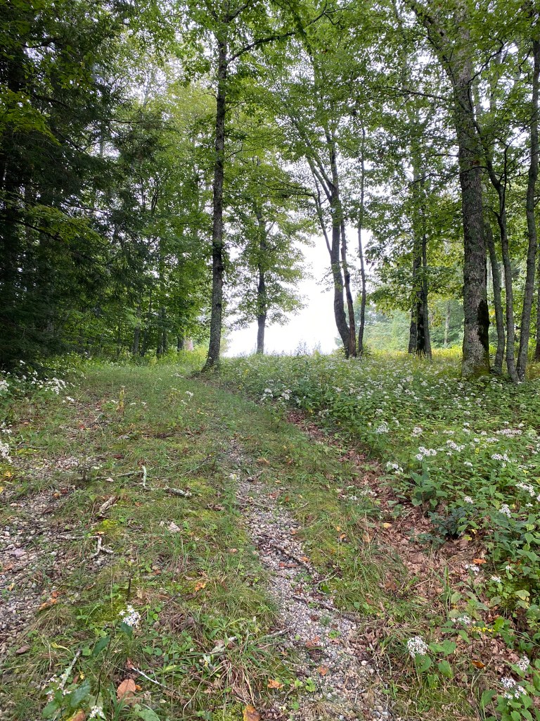
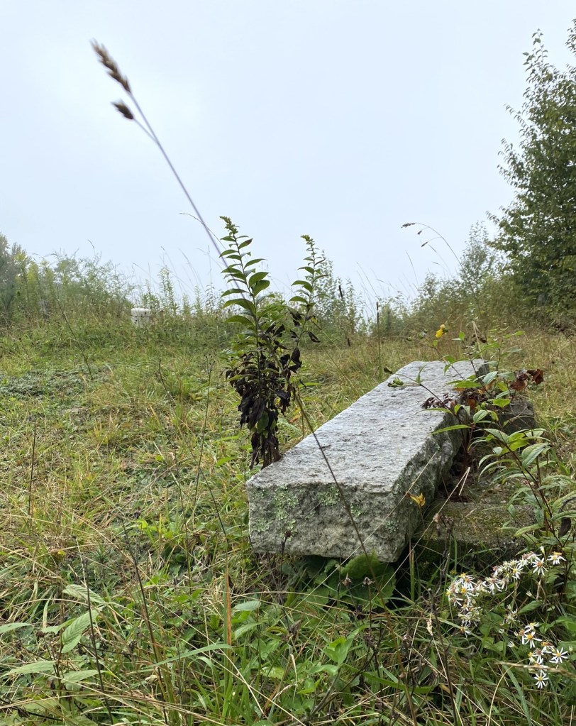
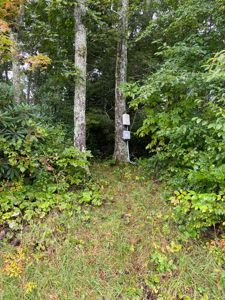
From the bench there was still a little bit of uphill, on a path leading into the woods.
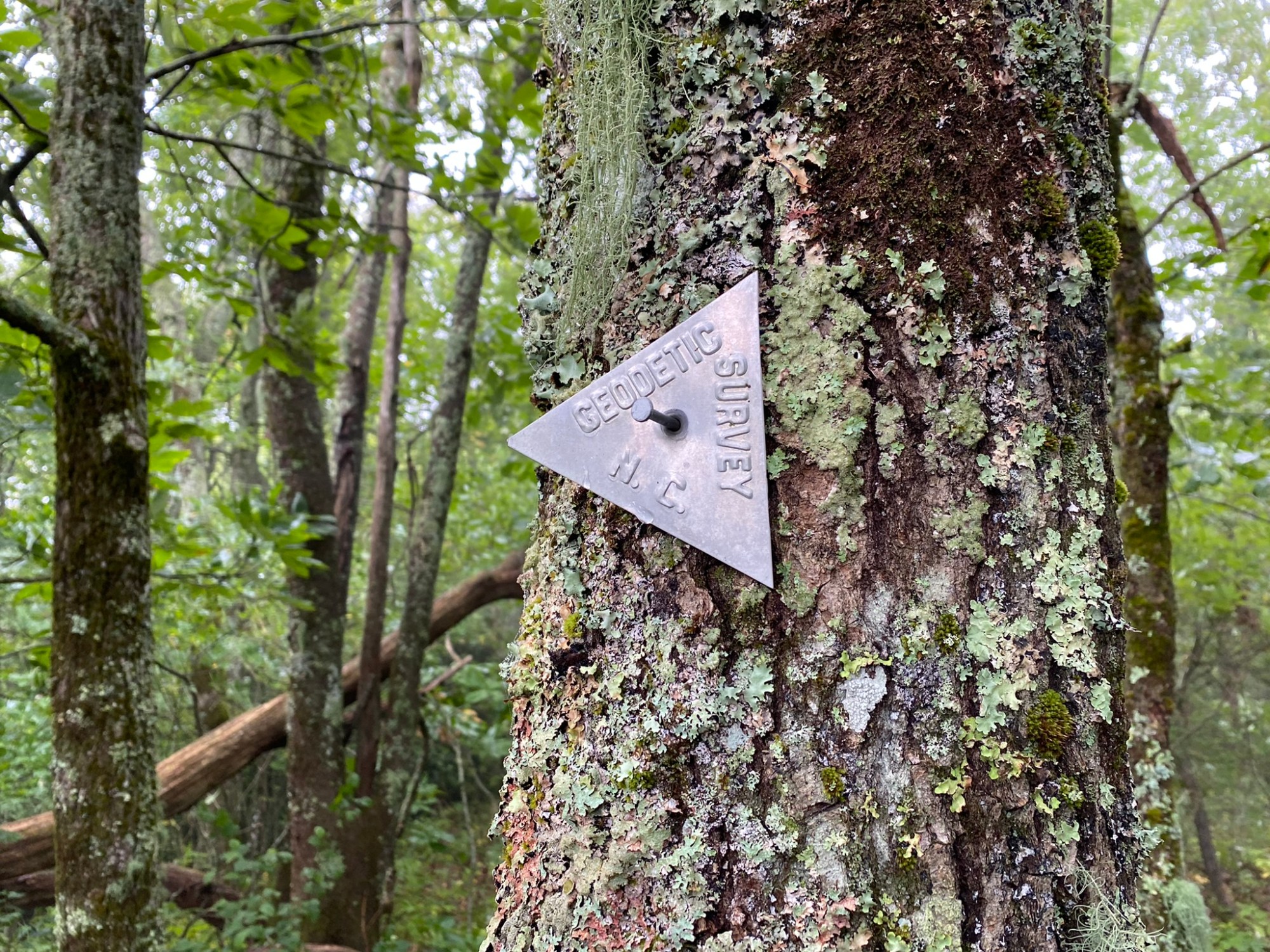
And what is this?!?
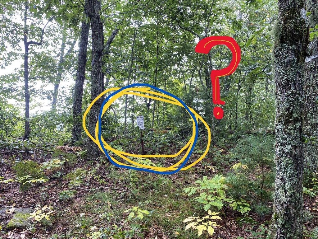
Our first benchmark!
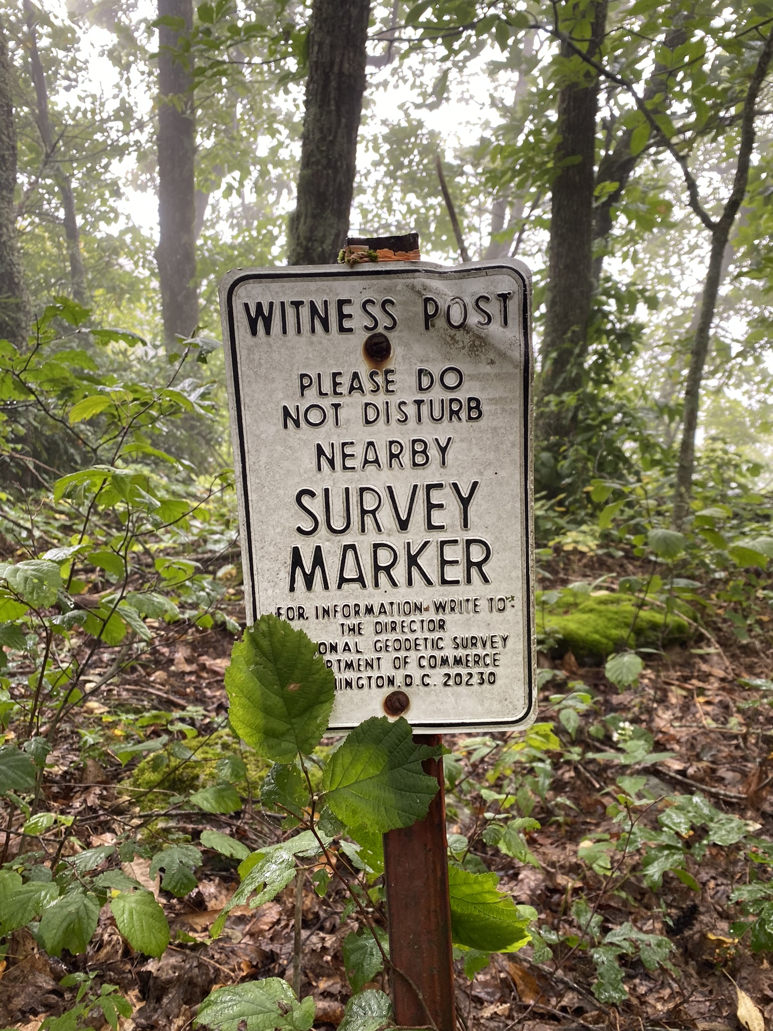

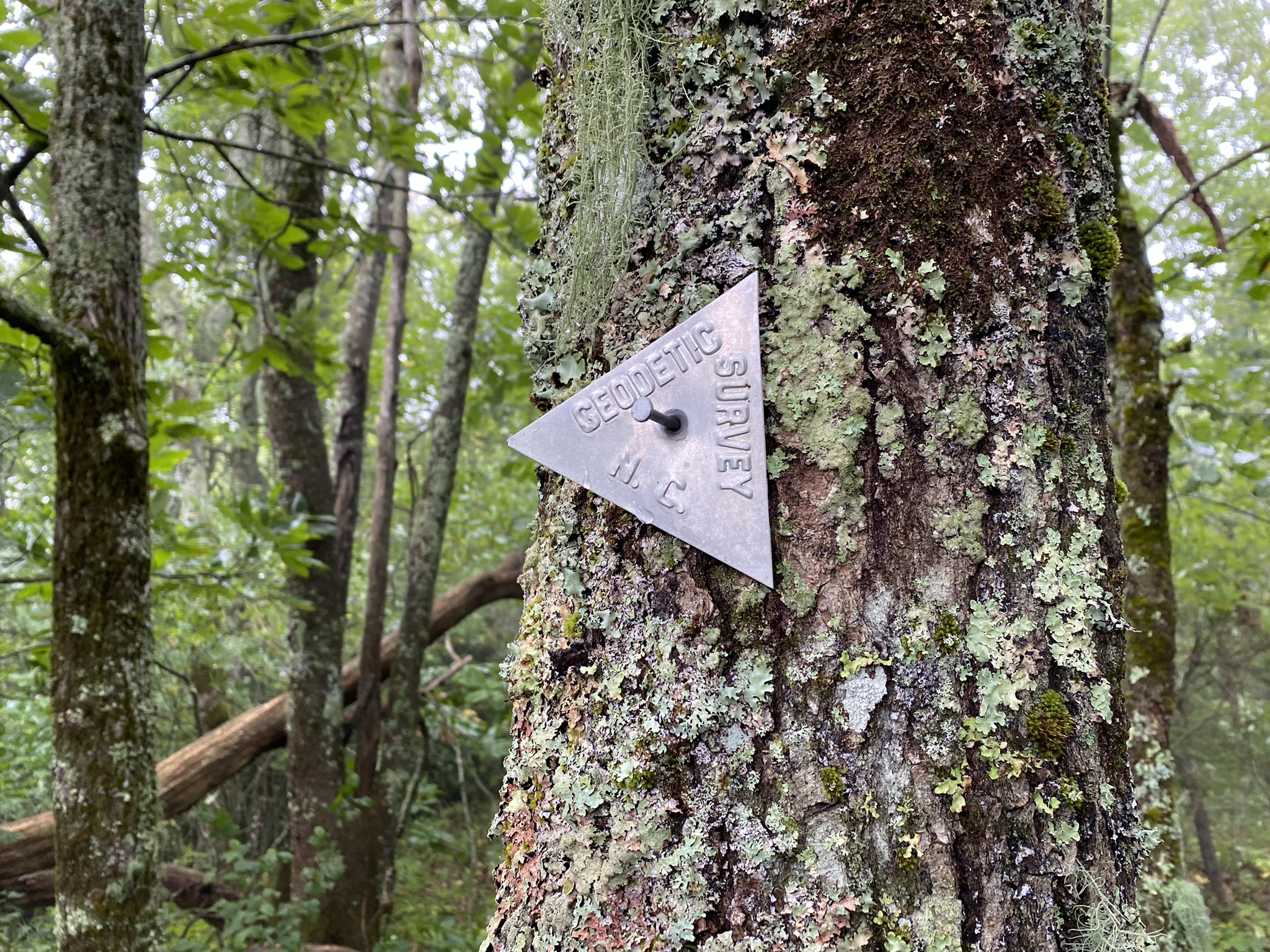
But when is a benchmark not really a benchmark? We answer this question with:
A brief history of GEODETIC SURVEY MARKERS
In 1807 President Thomas Jefferson established the “Survey of the Coast,” our nation’s first scientific agency. Their mission was to accurately survey and create nautical charts for the entire Atlantic coastline to assist maritime navigation.
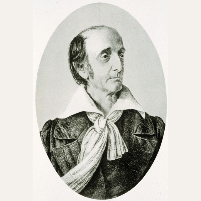
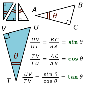

Key to this effort were a clever Swiss immigrant mathematician and surveyor (Ferdinand Hassler), a whole bunch of trigonometry, and sophisticated equipment brought over from Europe.
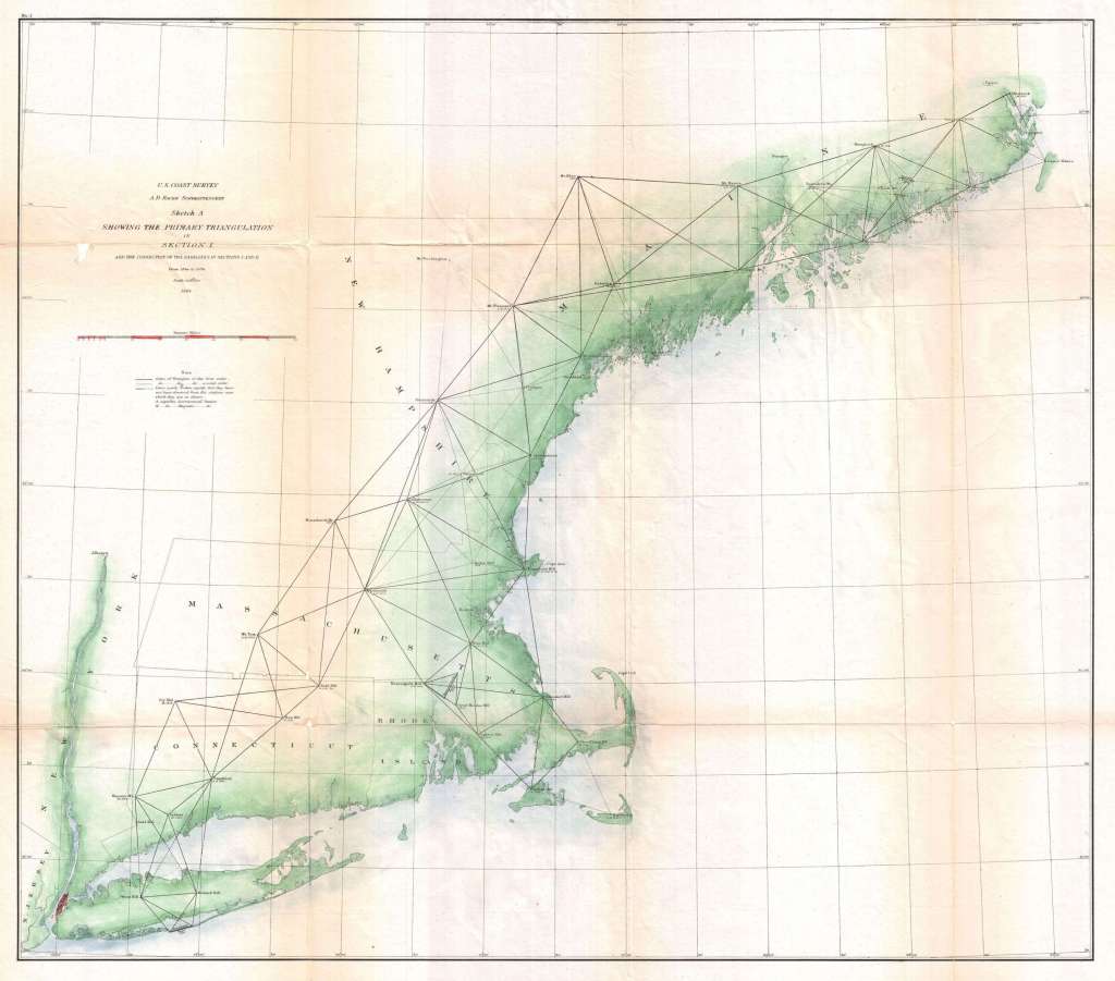
As our nation grew westward, surveys of the interior began, and in 1878 the agency was renamed the “U.S. Coast and Geodetic Survey.”

And finally in 1970 it became the “National Geodetic Survey” under a unit of NOAA.

And by the way, “geodetic” has to do with “geodesy”—the science of accurately measuring and understanding three fundamental properties of the Earth: its geometric shape, its orientation in space, and its gravity field— as well as the changes of these properties with time.

Now back to our benchmark.
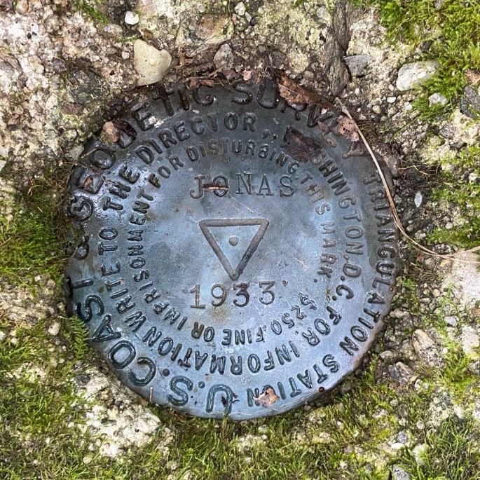
With this new knowledge we can now discern that this was placed during the “U.S. Coast and Geodetic Survey” era, specifically in 1933. It is NOT a “benchmark” which indicates ALTITUDE, but a “triangulation station” marker–part of that trigonometry stuff. “Jonas” refers to Jonas Ridge of Long Arm Mountain.

And I promise, we did not disturb this historic–and still vital data point on our earth’s surface!
