Granville County
(#9/100 North Carolina county highpoints)
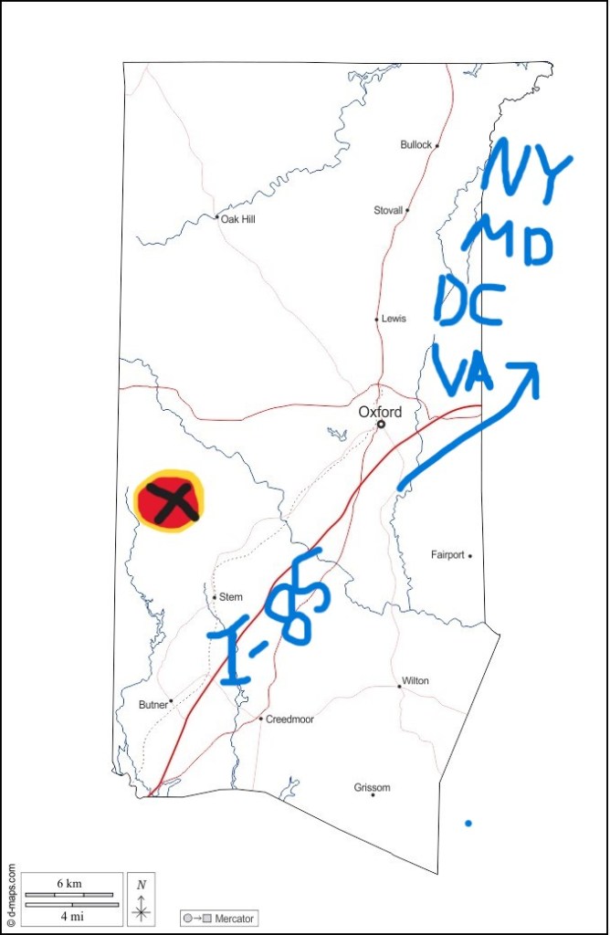
Usually you zip right through Granville County on I-85 when you’re headed to Maryland, New York, or further north, but we got off the interstate to explore Falls Lake, farm fields, and forested footpaths.
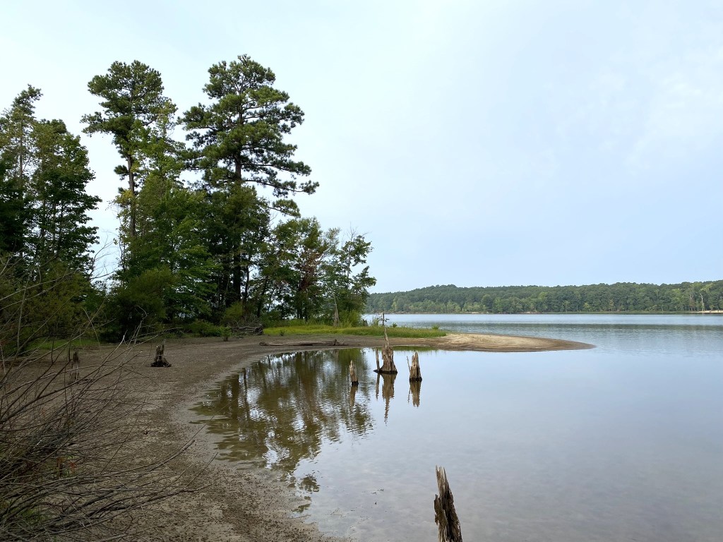
a Neuse River reservoir.
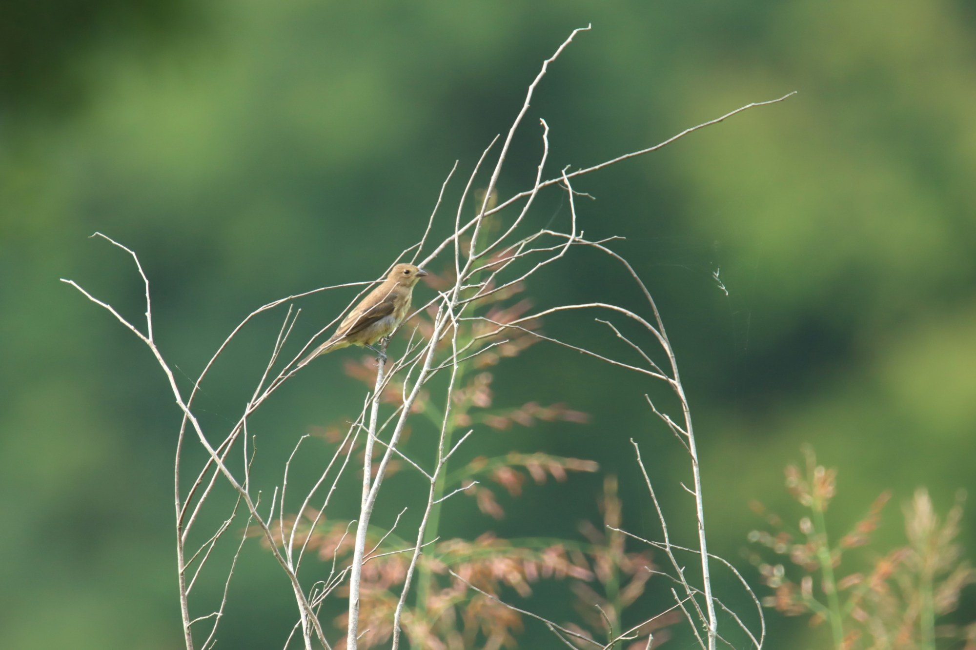
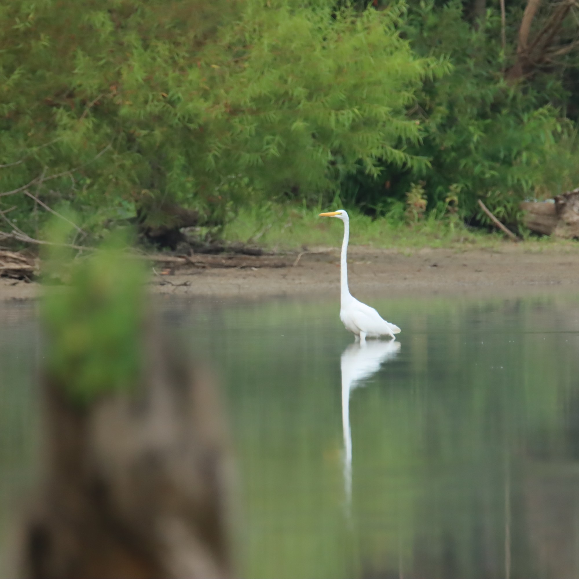
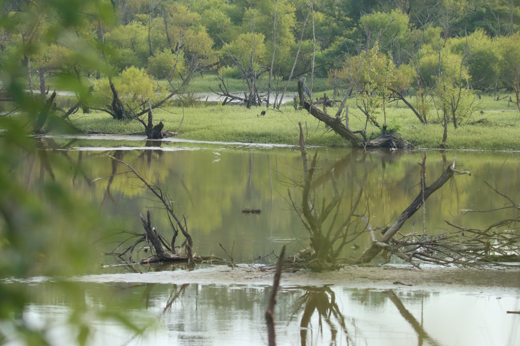
We did a lot of walking while birding. It wasn’t a stunningly productive morning for birds in any one place, but since we covered a lot of ground and habitat, we ended up with 18 new species for Granville County.
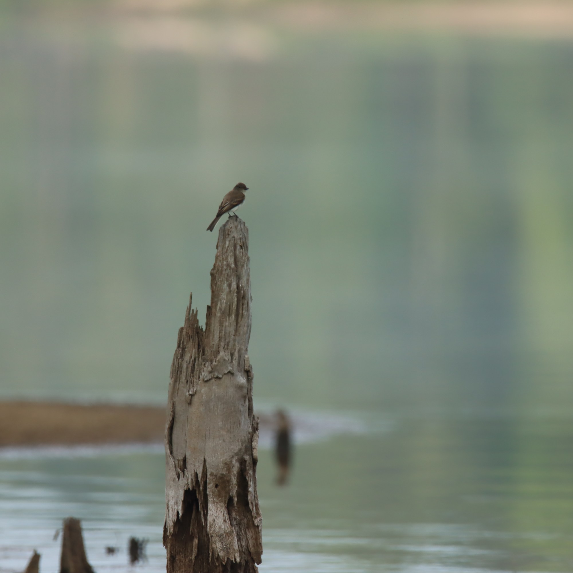
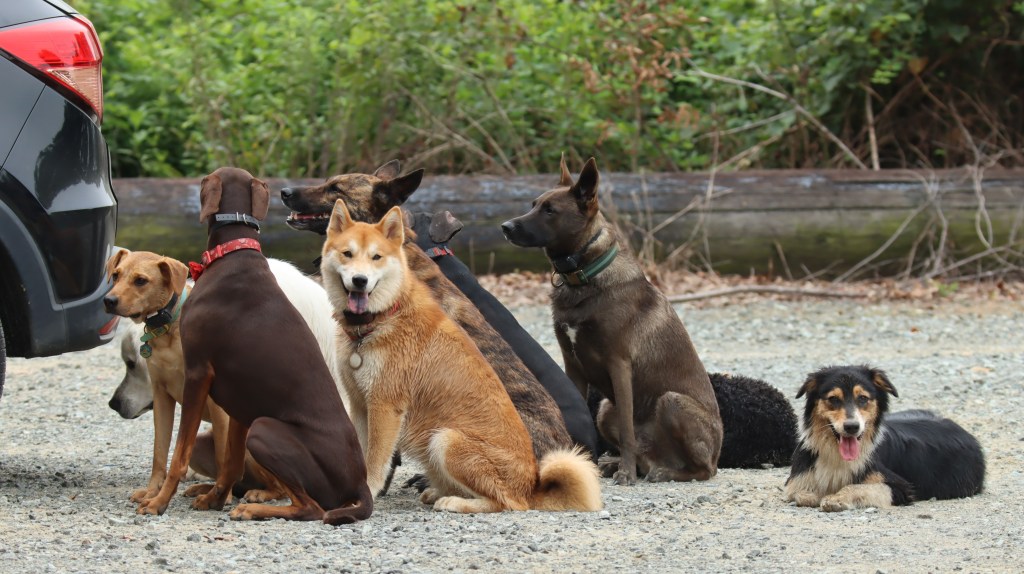
We hiked an extra mile to an isolated piece of lakeshore, hoping for sandpipers, but instead we found these guys:
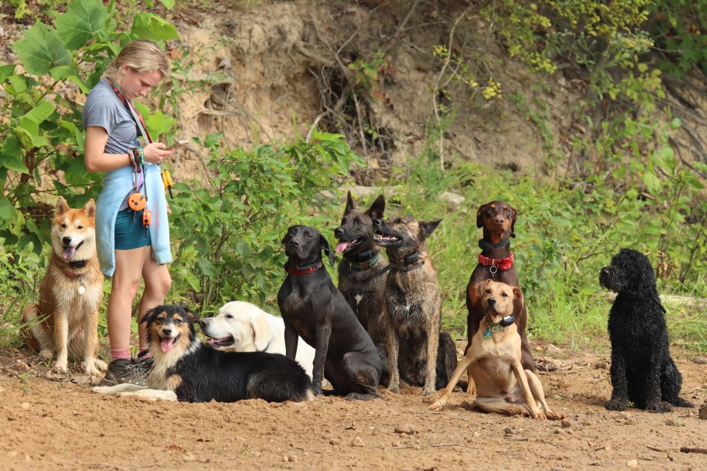
Now these happened to be exquisitely well-behaved dogs (the woman is a professional trainer), but any hope of shorebirds on this little stretch of beach disappeared.
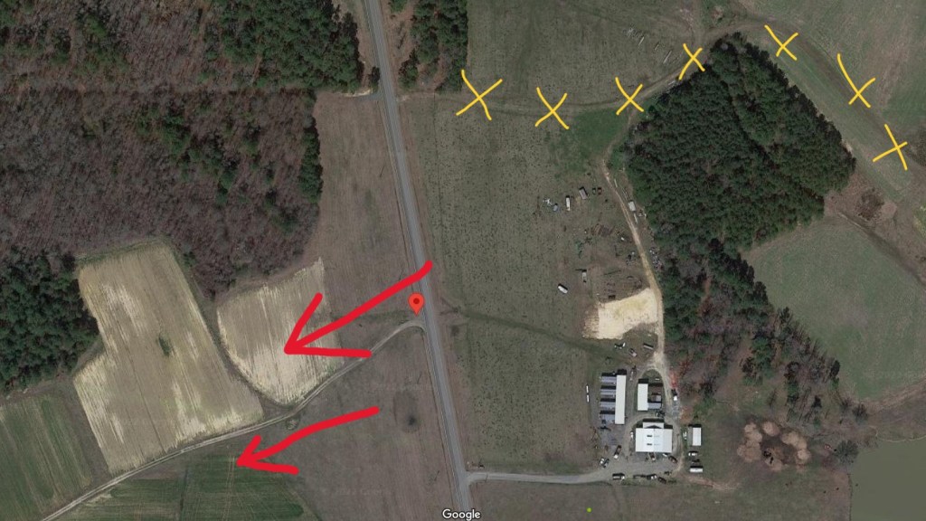
So, on to the highpoint. First we had to find an unmarked gravel road off of Range Road. I had the exact coordinates (36.27055, -78.739159), but I mistakenly directed the driver to take the little farm road to the east (yellow X’s), instead of the one heading off to the west (red arrows).
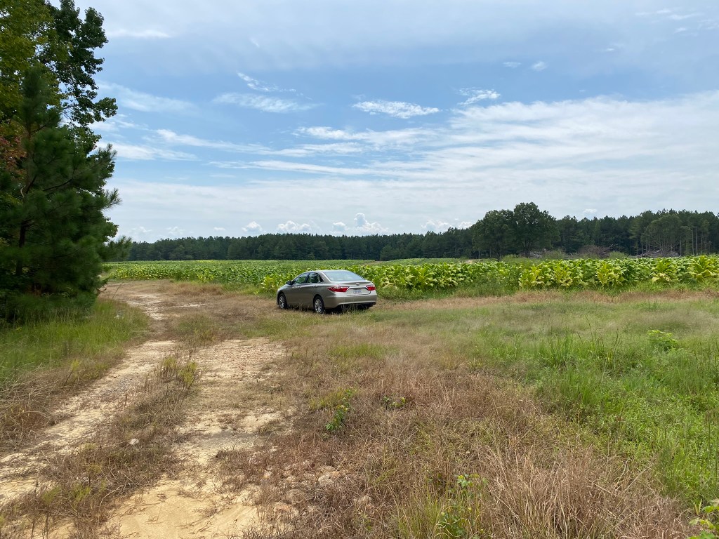
When things get very exciting you don’t have time to take photos, because you are too busy shouting out for DIVINE INTERVENTION to keep us out of the ruts until we can turn around and get back to solid asphalt.
The western farm road was sturdier, but we exercised caution and parked well before the road reached “impassable.” Now, from the photo it’s obvious this is private land, but there were no posted signs, and this was once an access point for ATVs.
Instructions:
Go to far end of field. CHECK.
ATV road goes slightly uphill and to the left. CHECK.
Follow edge of grassy field. CHECK.
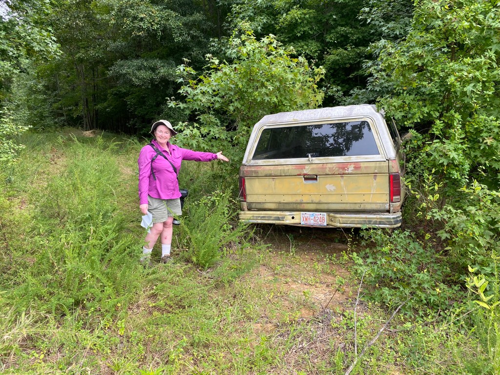
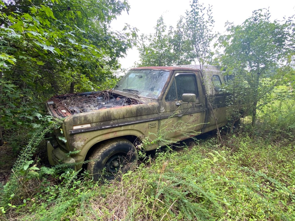
Walk past abandoned pickup truck. CHECK.
Wait, what? We don’t “walk past” cultural artifacts!
100 yards past the truck, turn down a pine woods trail. CHECK.
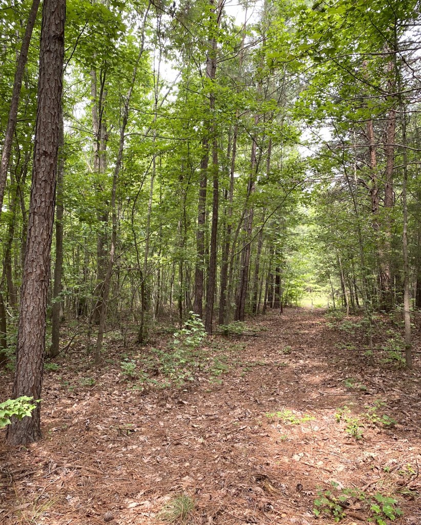
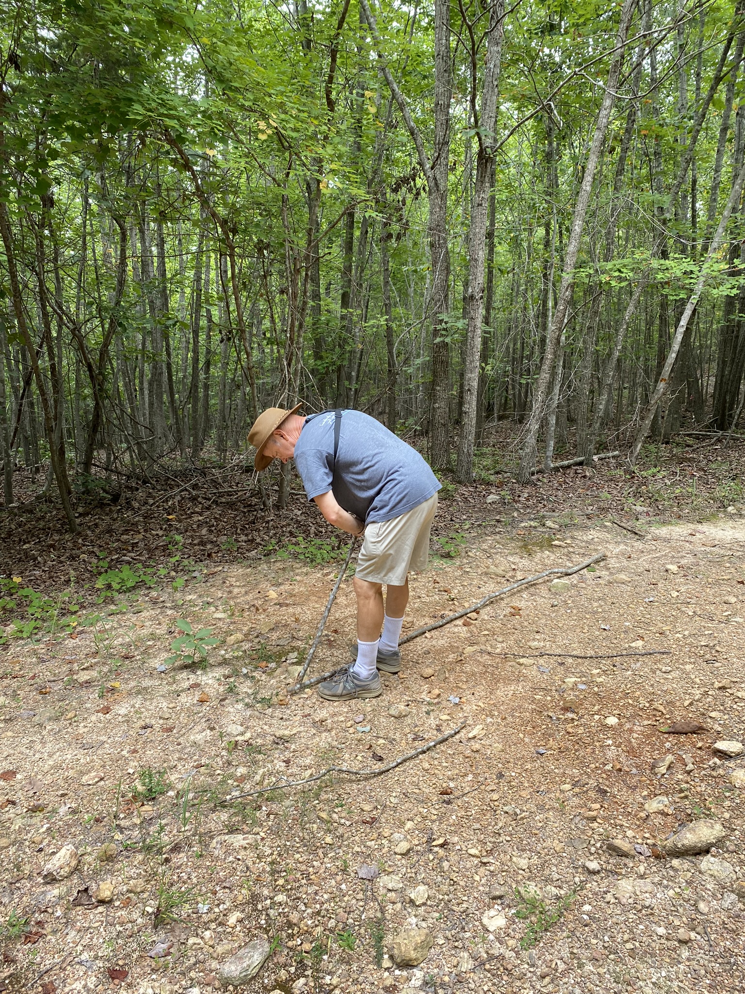
Down a small gully, up a short grassy hill, bear right on ATV road at fork, cross another dry creek bed, then hard left at 2nd fork. CHECK CHECK CHECK.
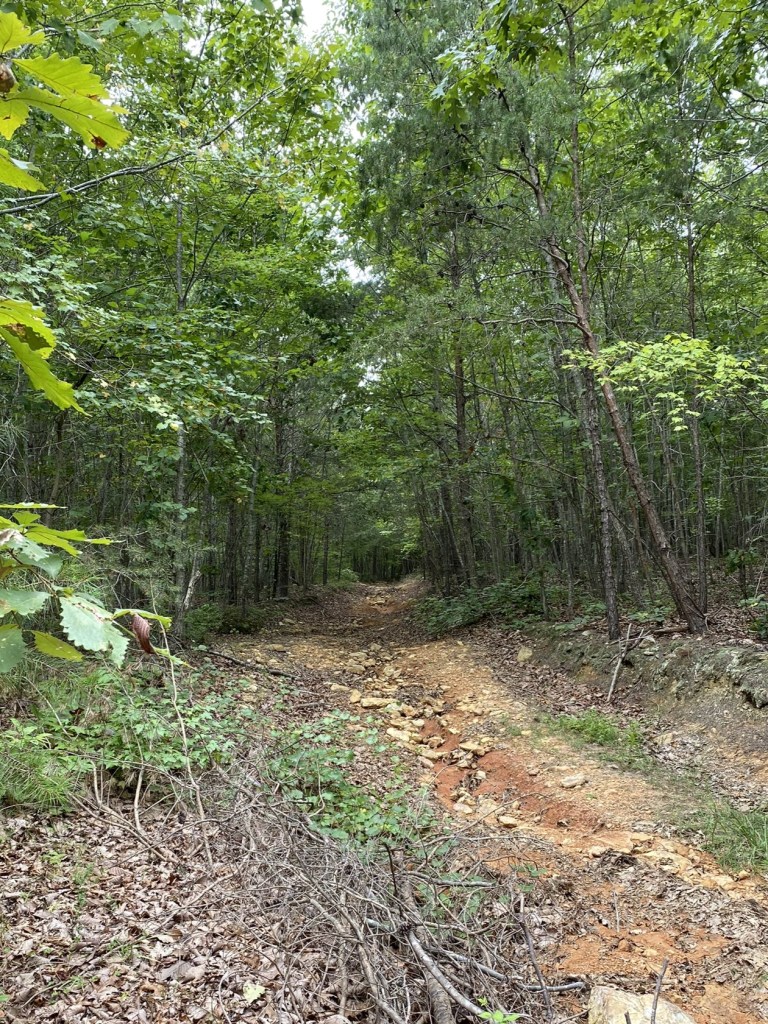
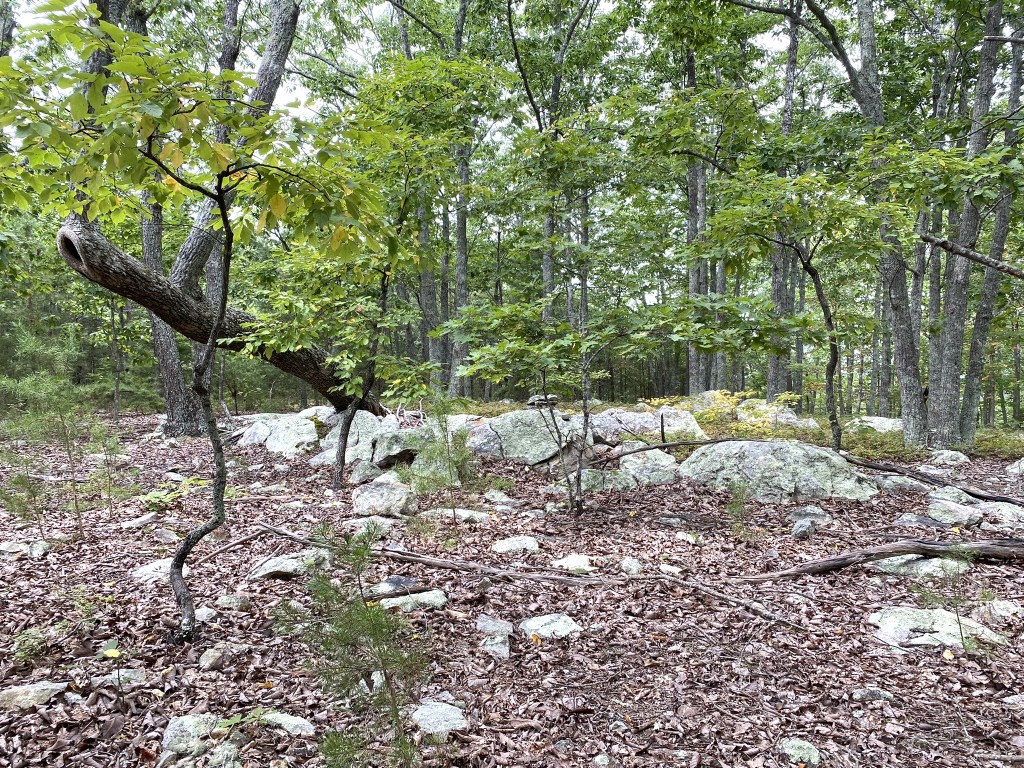
Nothing in the instructions indicated the distance, and it was farther than we anticipated, but it was wonderful to finally have a highpoint that seemed worthy of the name!
Getting close:
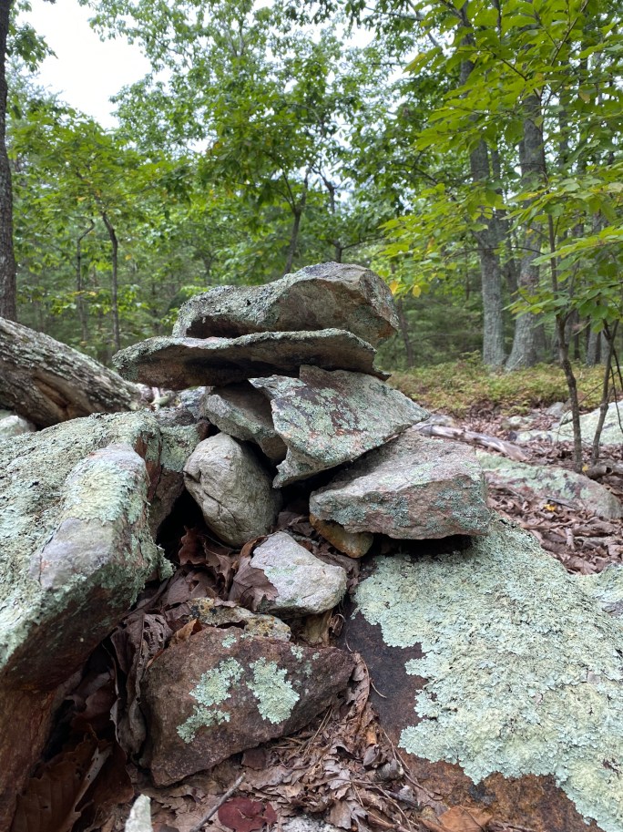
An actual CAIRN
on the summit!
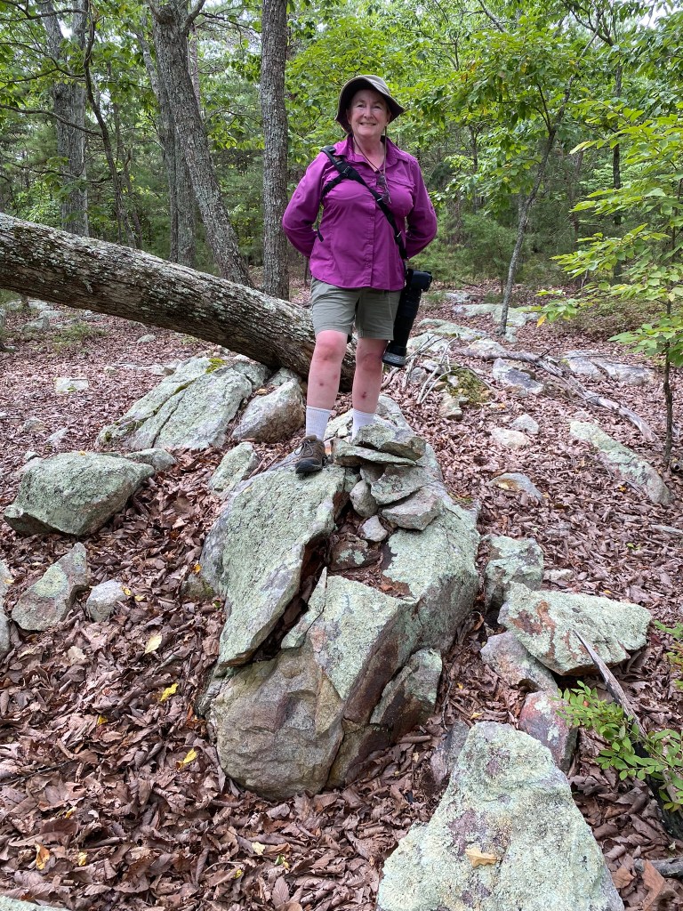
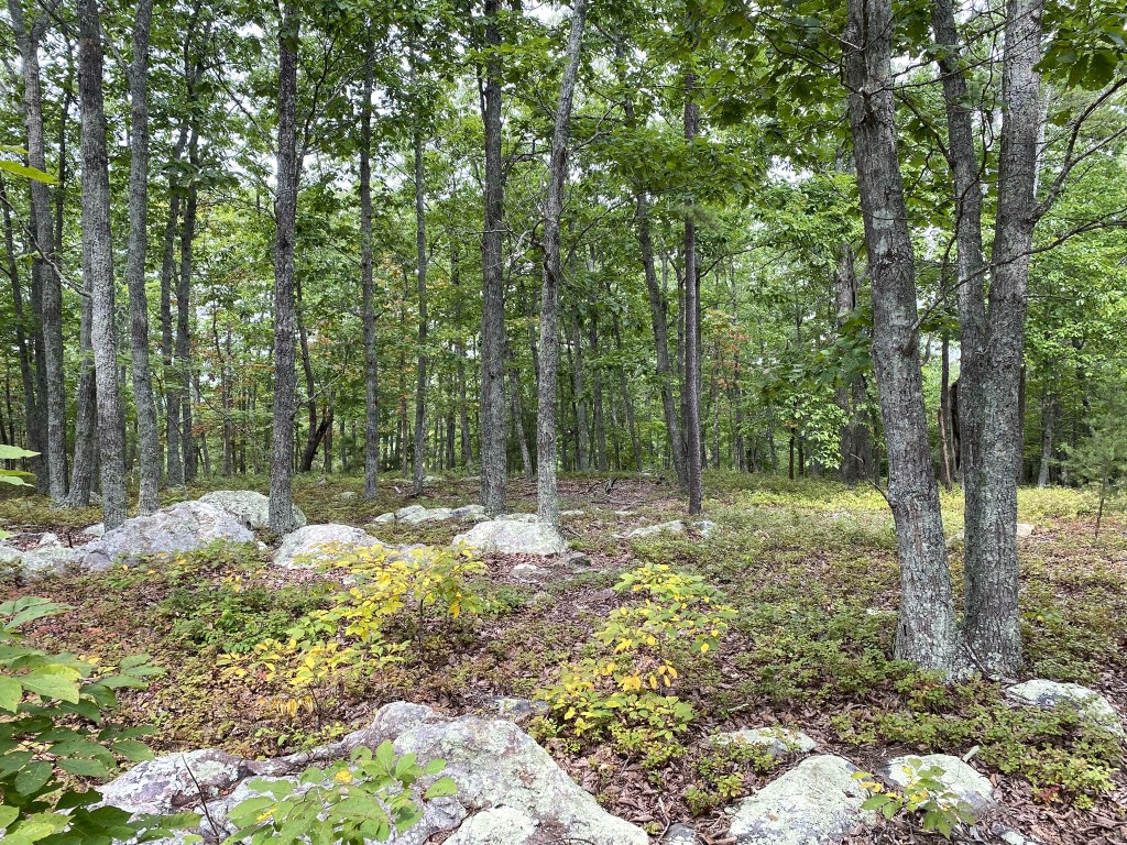
It was a beautiful, park-like setting, too.
But it was hot and well past lunch-time, so we didn’t linger.
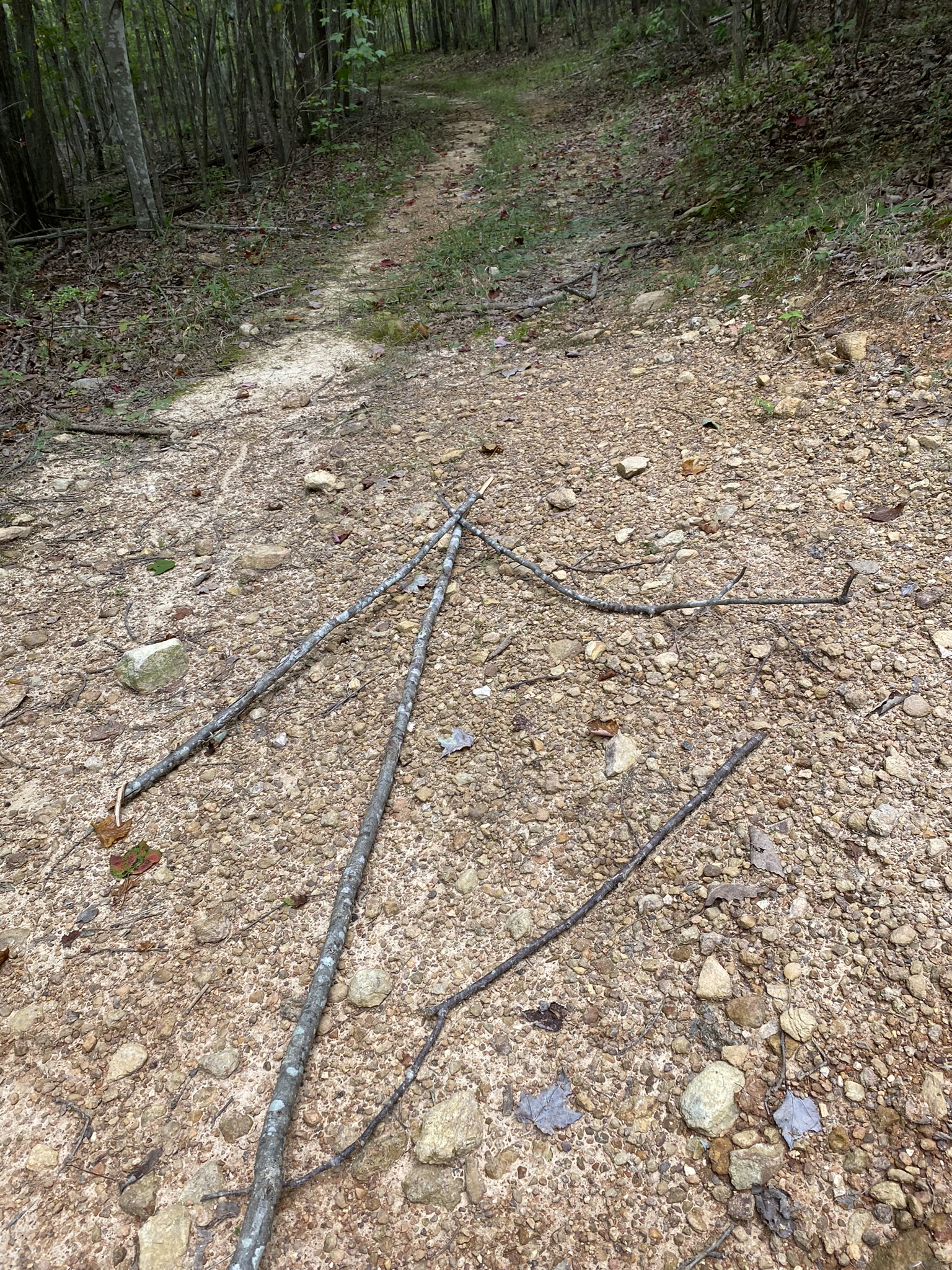
And thanks to Loren’s trail markers, we had no trouble finding our way back to the car!

I was in Granville County a couple of weeks ago in the county library (research of family connections) and some cemeteries. I enjoyed my day very much, but 2 fine specimens special! Just think: one day your great, great grandchildren might make a similar find on our backwoods property!
LikeLike