TYRRELL
16′
(#19/100 North Carolina county highpoints)
Wait a second.
Back up there.
#19/100 North Carolina county highpoints
Nope. Further back.
16′
Only sixteen feet!!!
That is the actual elevation of the HIGHpoint of Tyrrell County.
But no one knows exactly where it is.
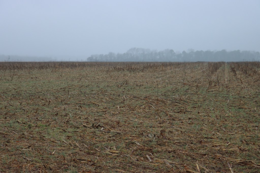
The 16′ contours on the maps cover incredibly large areas, and it’s hard for cartographers to be more precise. Could be somewhere out there in the Pocosin Lakes NWR. And yes, you can get lost in America.
So let’s find a friendlier location, which has also been mapped at 16′.
Which brings us to the . . .
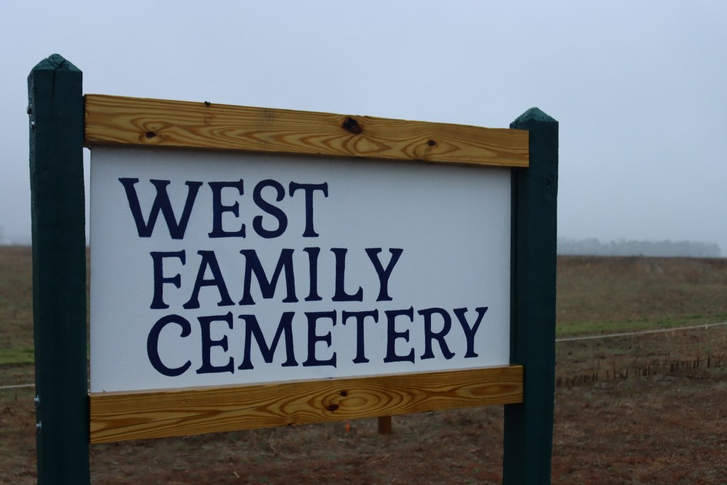
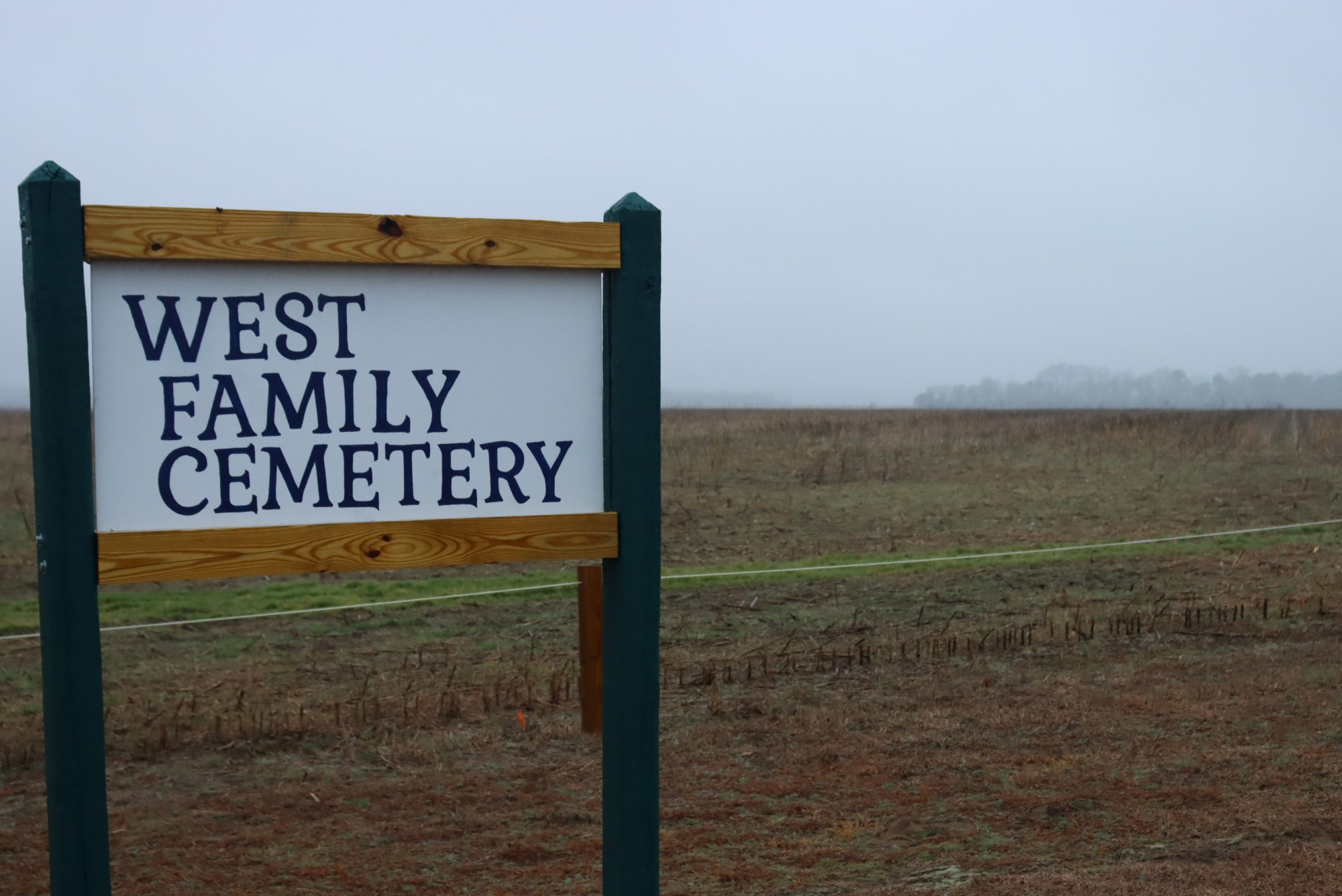
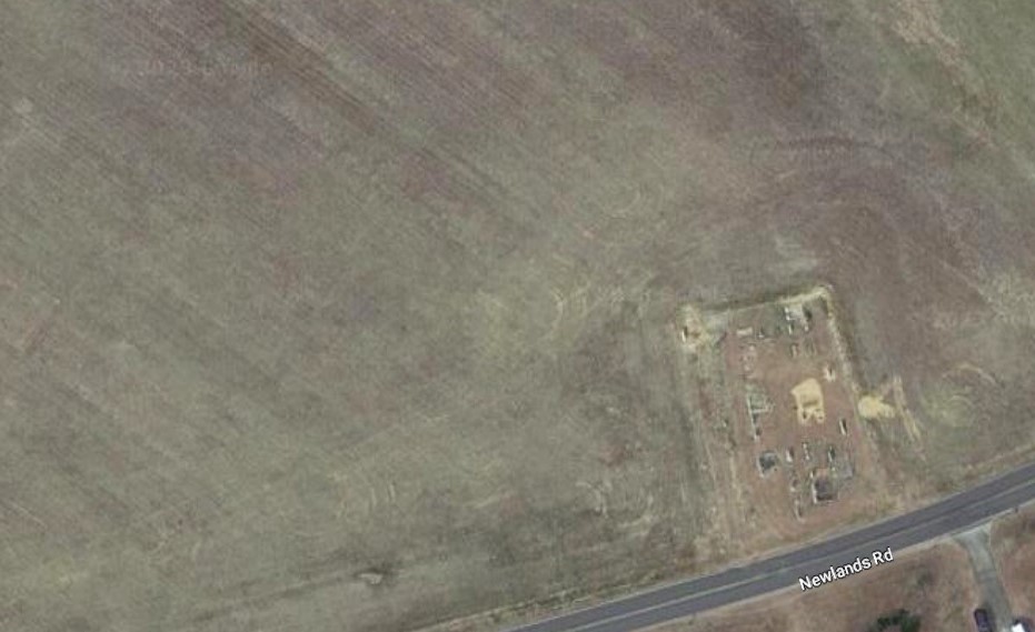
The highpoint is in the field just northwest of this little roadside cemetery.
So let’s look at gravestones. Aren’t they interesting?

Here lies Sarah F. Sexton, wife and Dearest Mother, who died at age 74. Her husband Samual (strange spelling–mistake by the stonemason?) has a stone with only his birthdate near hers. They are the only Sextons in the West family cemetery, so how were they related?
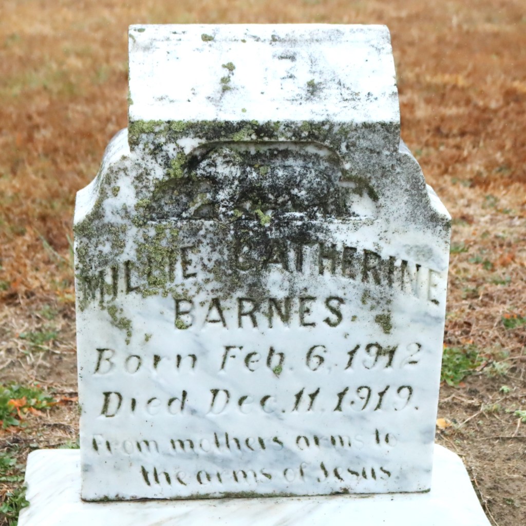
This one is sad. Millie Catherine Barnes was only 7 years old when she died in 1919. Perhaps of influenza? And did her family regret naming her after her relative Millie J. Barnes who was born in 1881 and died at only age 6?
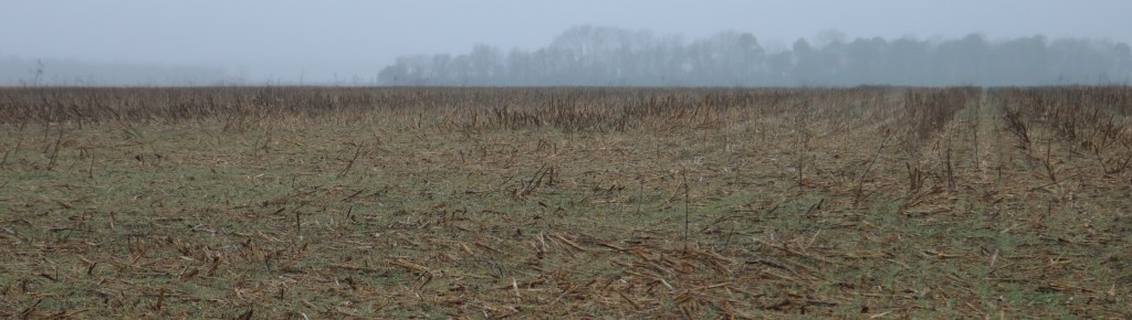
And that’s all we have for this drizzly day without a zoom lens in Tyrrell County. But I will leave you with the correct pronunciation:

easy to spot newcomers, with the proper pronunciation of Terrell
LikeLike